The best road cycling routes in Saône-et-Loire
4.5
(1358)
38,701
riders
4,821
rides
Road cycling in Saône-et-Loire is characterized by a diverse landscape, offering extensive networks of greenways and canal paths, alongside rolling hills and vineyard routes. The region features predominantly flat, traffic-free paths along historic railway lines and canal towpaths, such as the Canal du Centre Greenway and La Voie Bleue along the Saône River. Cyclists can also find undulating terrain through the Côte Chalonnaise and Mâconnais wine regions, providing varied gradients for different skill levels.
Best road cycling routes in Saône-et-Loire
…Last updated: July 7, 2026
4.5
(2)
40
riders
76.2km
03:42
960m
960m
Hard road ride. Very good fitness required. Mostly well-paved surfaces and easy to ride.
3.8
(6)
42
riders
45.2km
02:31
920m
920m
Hard road ride. Very good fitness required. Mostly well-paved surfaces and easy to ride.

Sign up for free
5.0
(1)
43
riders
52.4km
02:26
590m
590m
Moderate road ride. Good fitness required. Mostly well-paved surfaces and easy to ride.
4.3
(6)
21
riders
69.2km
02:45
250m
250m
Moderate road ride. Good fitness required. Mostly well-paved surfaces and easy to ride.
5.0
(4)
30
riders
70.8km
03:34
1,210m
1,210m
Hard road ride. Very good fitness required. Mostly well-paved surfaces and easy to ride.
4.5
(6)
24
riders
45.0km
01:57
170m
170m
Easy road ride. Great for any fitness level. Mostly well-paved surfaces and easy to ride.
3.9
(7)
31
riders
32.4km
01:54
750m
750m
Moderate road ride. Good fitness required. Mostly well-paved surfaces and easy to ride.
4.5
(4)
30
riders
55.0km
02:45
880m
880m
Moderate road ride. Good fitness required. Mostly well-paved surfaces and easy to ride.
4.5
(2)
30
riders
50.4km
02:33
540m
540m
Moderate road ride. Good fitness required. Mostly well-paved surfaces and easy to ride.
4.3
(4)
31
riders
35.1km
01:43
470m
470m
Moderate road ride. Good fitness required. Mostly well-paved surfaces and easy to ride.
Get access to more routes and recommendations from other explorers.
Sign up for free
Already have an account?
Our route recommendations are based on thousands of hikes, rides, and runs completed by other people on komoot.
Start today with a free account
Your next adventure awaits.
Login or Signup
Popular around Saône-et-Loire

The Grande traversée du Massif Central by gravel bike
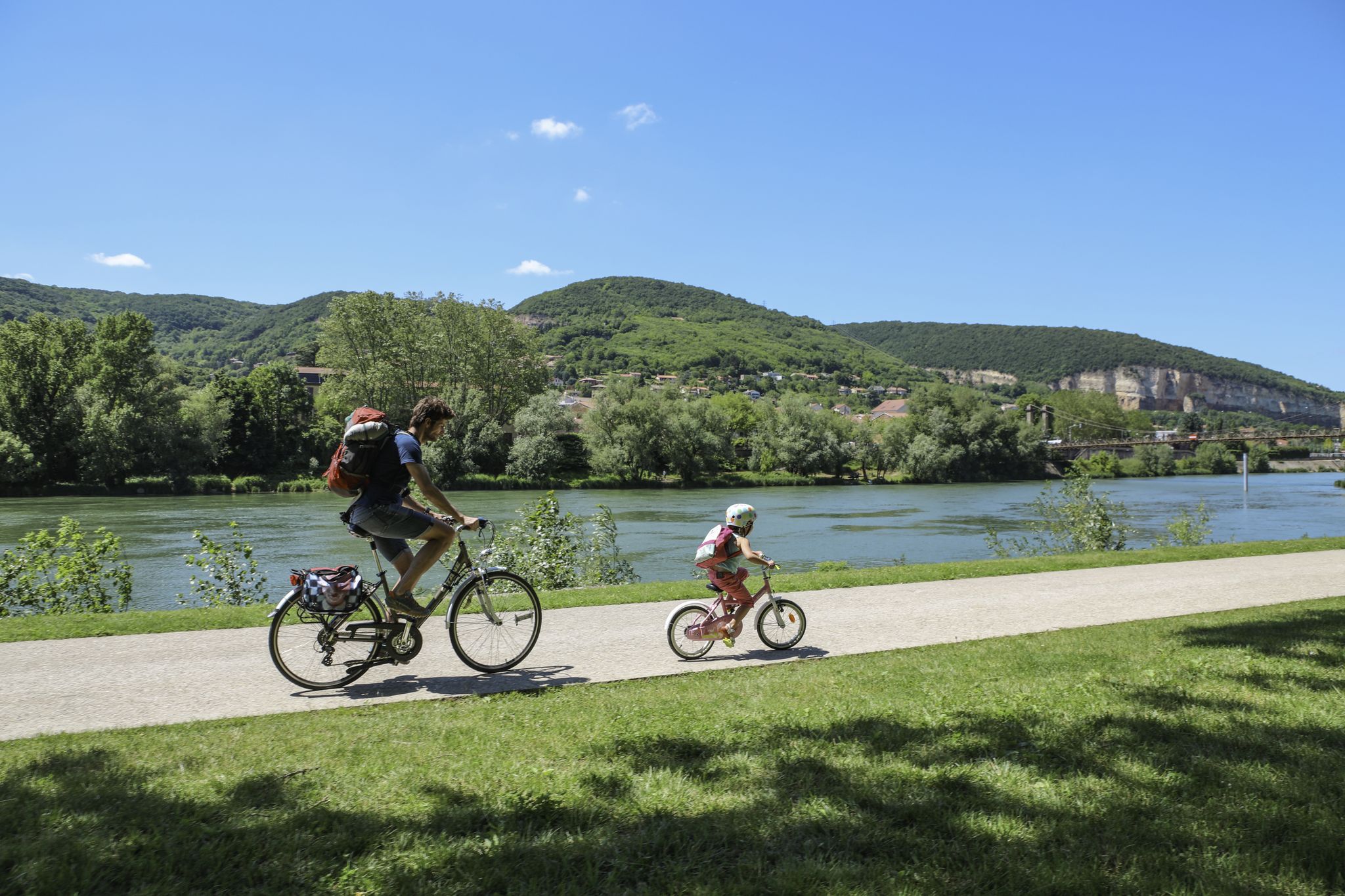
The Voie Bleue – Moselle-Saône by bike
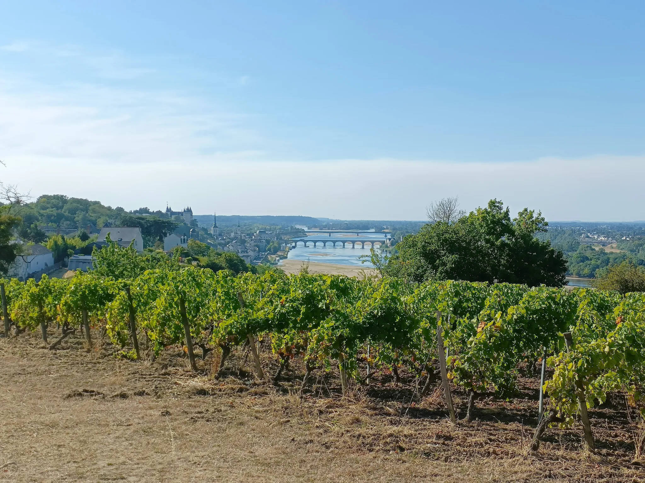
GR3 from the ocean to its source – The Loire, a wild European river
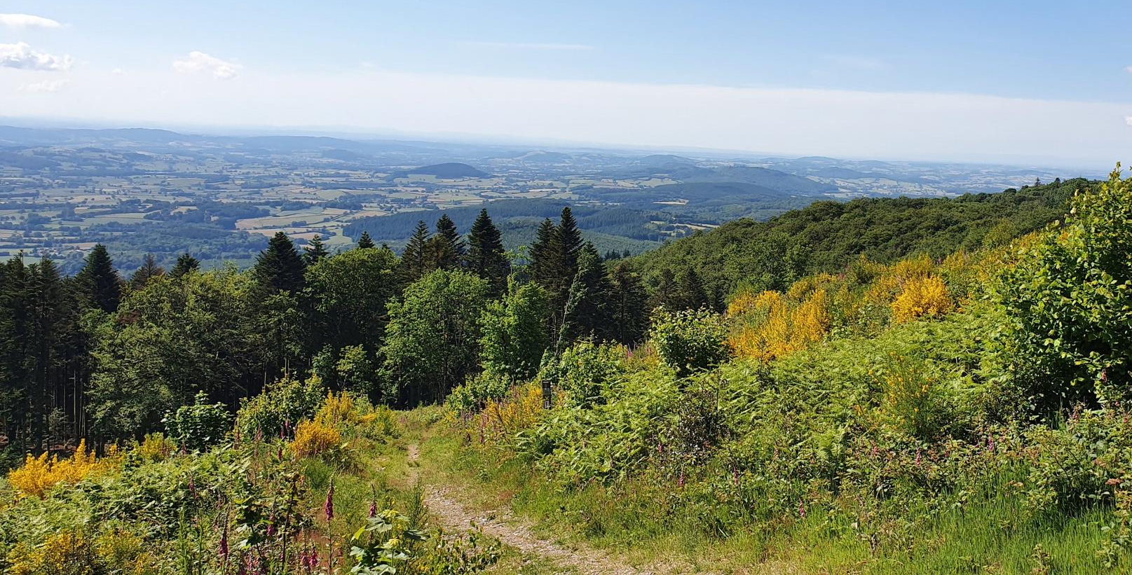
Bibracte-Alesia Hiking Trail – In the footsteps of the Gauls
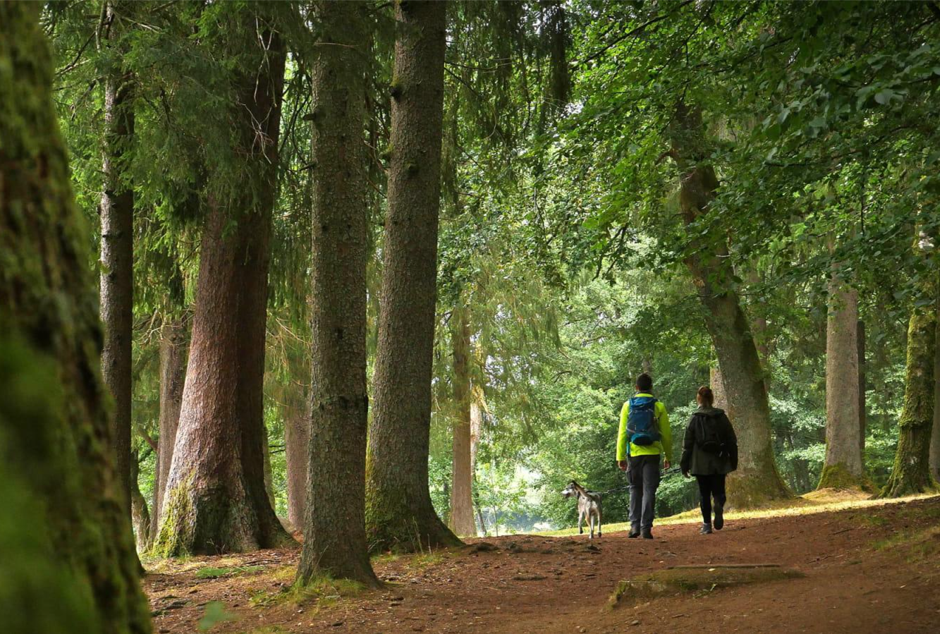
Tour du Morvan — The little mountain of Burgundy
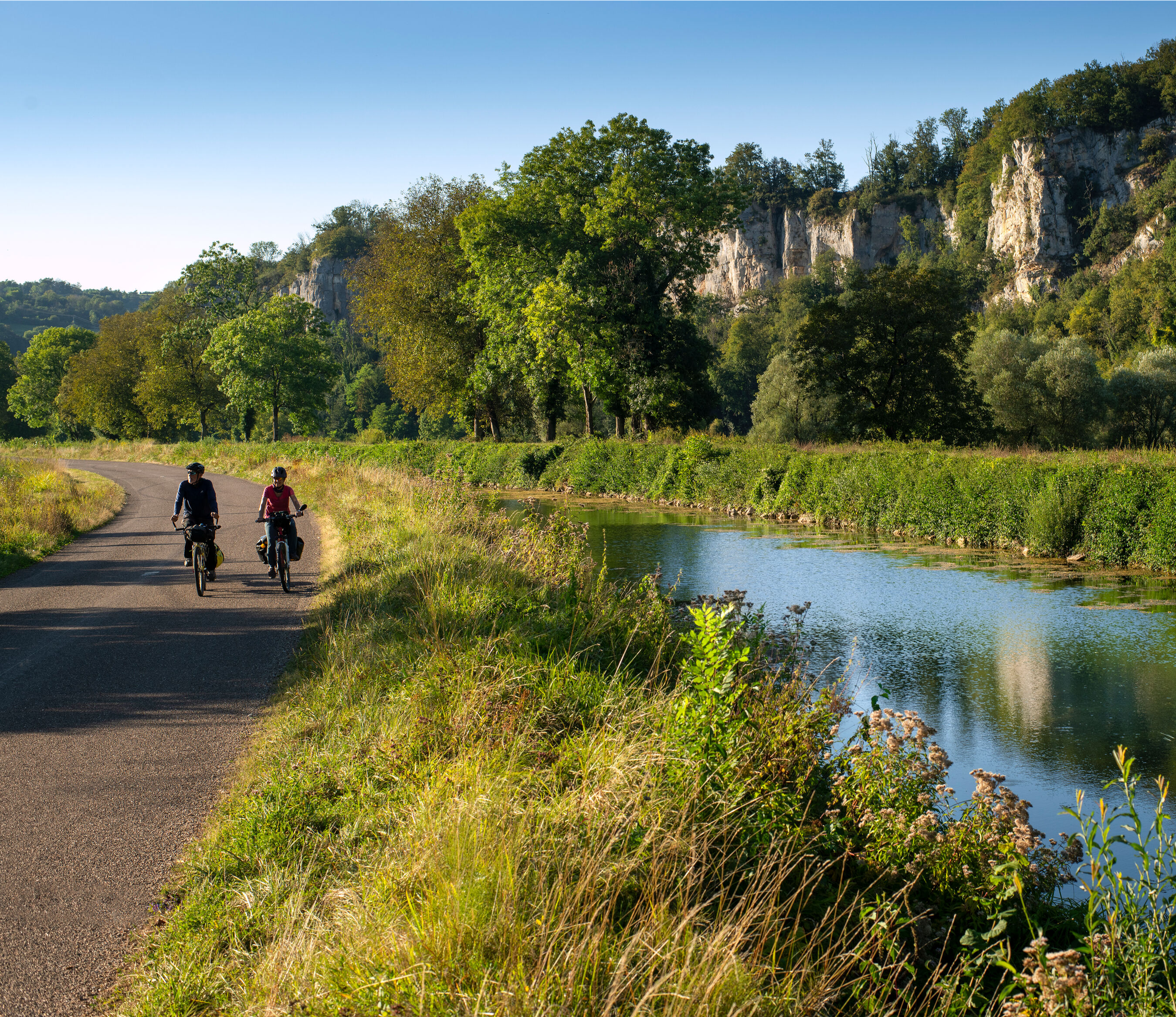
Burgundy-Franche-Comté by bike – between vineyards and peaks
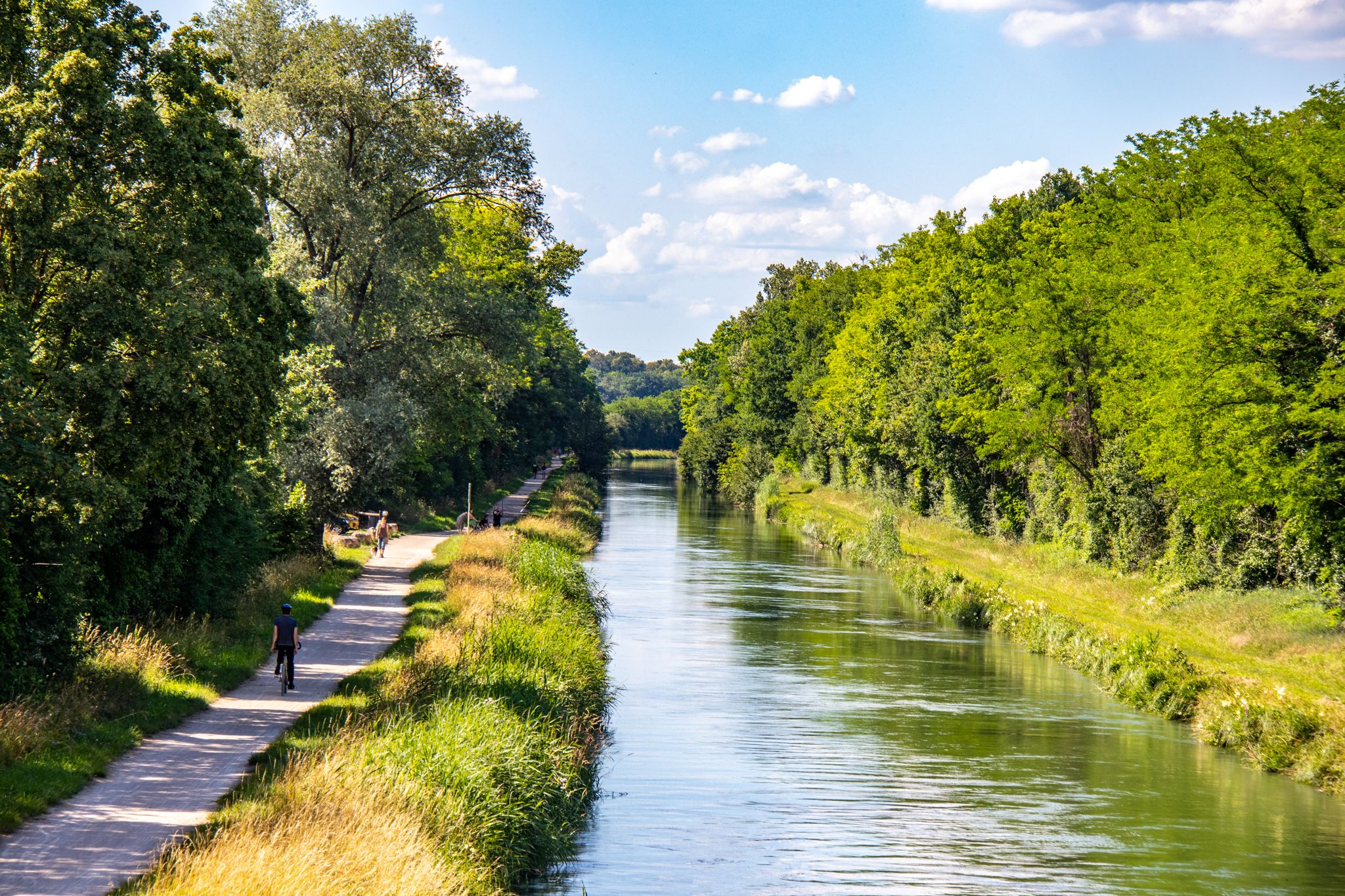
EuroVelo 6 – between the Rhine and the Loire by bike
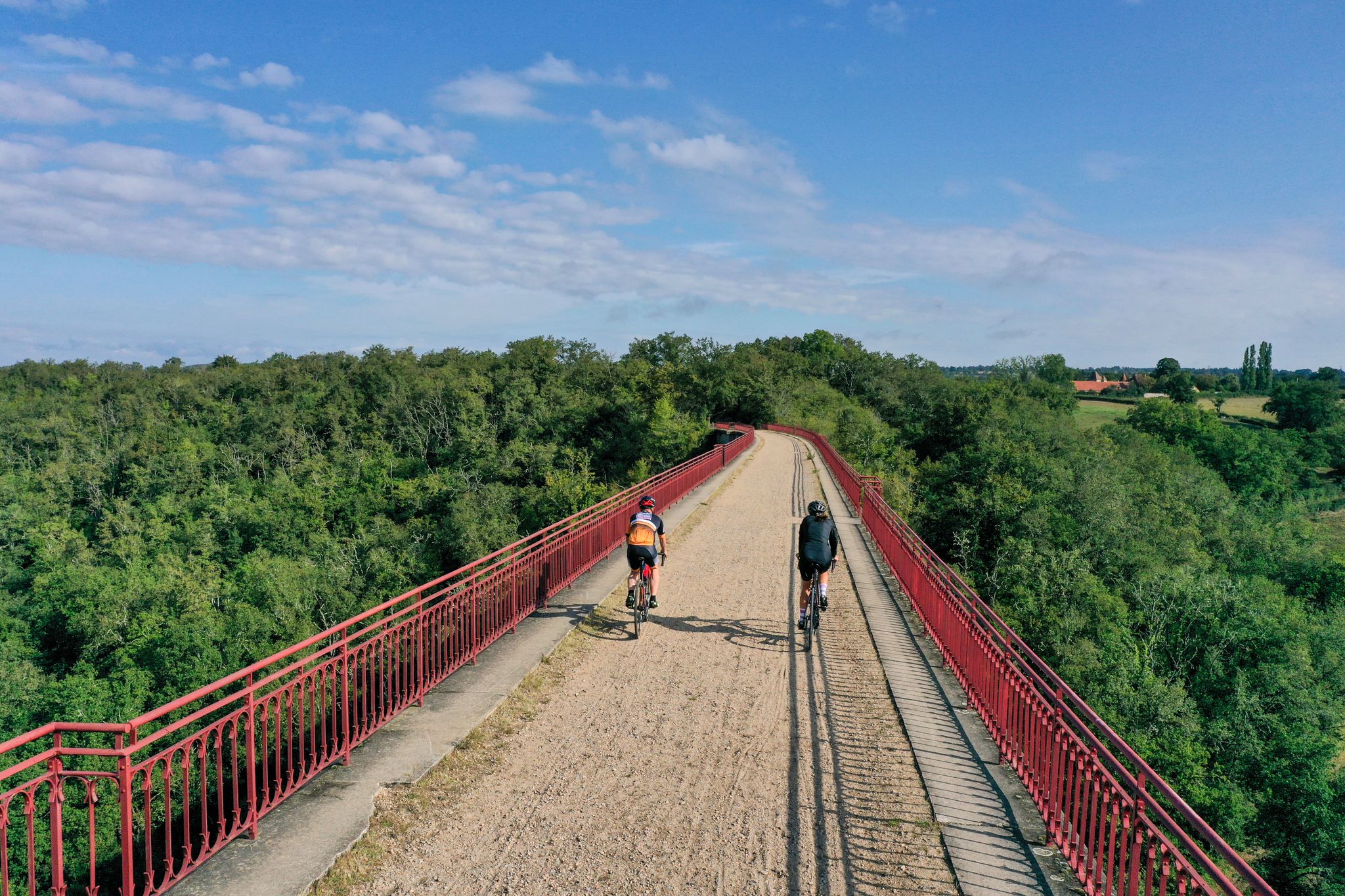
Allier Bourbonnais by bike – mythical routes and secret escapes
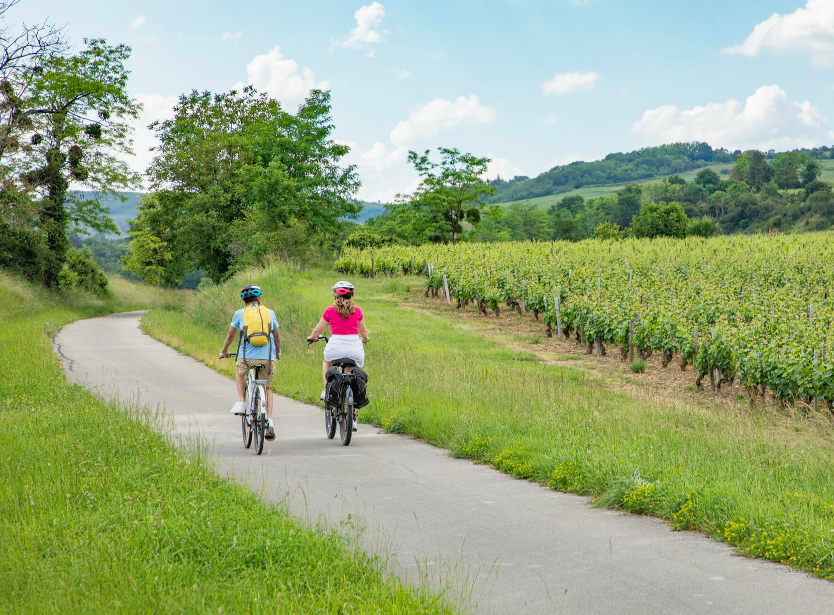
Les Vélœno71 – discover the grape varieties of Saône-et-Loire
A green escape along the Loire river – La Véloire
Other adventures in Saône-et-Loire


Tips from the Community

The Rock of Solutré is a world-famous, 493-meter-high limestone rock in the south of the Burgundy region. It is located amidst the picturesque vineyards of the municipality of Solutré-Pouilly. The region is officially designated as a Grand Site de France. The hike to the summit is easy to moderate and very doable for families. It takes about 1 hour for the entire loop (approx. 4 kilometers round trip). The elevation gain is around 100 to 140 meters from the official parking lot on well-maintained paths with information panels, although there are many steps.
1
0
The Saint-Laurent Bridge (Pont Saint-Laurent) is a historic stone bridge that spans the Saône River. It connects the town of Mâcon in the Saône-et-Loire department with the municipality of Saint-Laurent-sur-Saône in the Ain department. Initial wooden structures were already built by the Romans. The current stone bridge dates back to the 11th century in its core and is considered the oldest bridge over the Saône. The structure consists of twelve stone arches. On one of the pillars, there is a statue of Saint Nicholas, the patron saint of boatmen. It is one of the few historic structures in the region that survived the demolitions of World War II unscathed.
1
0
The Col de Gerbet (612 m) is an idyllic mountain pass in the French wine-growing region of Beaujolais. Depending on the starting point, various roads with little traffic lead up to the pass via the D137. From Juliénas (south-east approach): This route is 7.3 kilometers long. It overcomes 342 meters of altitude with a steady, moderate gradient of 4.7% on average. The road winds through shady forest sections. From La Croix Blanche (west approach): A tougher variant 4.5 kilometers long. Here you conquer 270 meters of altitude with an average gradient of 6% and ramps of up to 11%.
1
0
The Col des Enceints is a mountain pass in the French region of Bourgogne-Franche-Comté (Département Saône-et-Loire) with a summit elevation of 529 meters. The pass is located in the Mâconnais mountains (Monts du Mâconnais) near the municipality of Bourgvilain. It is a popular route, especially among cyclists and hikers: For cyclists: The ascent from Pierreclos extends over approximately 4.3 kilometers with an elevation difference of about 257 meters and an average gradient of just under 6% (up to 12% at its steepest). For hikers: A moderate, approximately 8.5-kilometer circular hiking trail from Bourgvilain leads over the pass, among other routes, passing through forests and past small hamlets.
1
0

Beautiful and very pleasant for a break!
0
0

Bring a light jacket; it can get cold inside. For those with vision problems, don't be afraid; the lighting isn't too bright.
0
0

Lake Sentons is the most famous lake in Morvan: fishing, water sports and walking.
0
0

Occupied by bats, this tunnel is obviously often closed to protect them.
0
0
Frequently Asked Questions
What types of terrain can I expect when road cycling in Saône-et-Loire?
Saône-et-Loire offers a diverse cycling landscape. You'll find extensive networks of greenways and canal paths, which are predominantly flat and traffic-free, ideal for relaxed rides. Additionally, the region features rolling hills and vineyard routes, particularly in the Côte Chalonnaise and Mâconnais areas, providing varied gradients and more challenging climbs. The Morvan Regional Park also offers more undulating terrain for those seeking a greater challenge.
Are there many road cycling routes available in Saône-et-Loire?
Yes, Saône-et-Loire is a fantastic destination for road cycling, boasting over 4,800 routes. These range from easy, flat rides along greenways to more difficult routes with significant elevation gain through the region's hills and vineyards.
What are some easy road cycling options for beginners or families?
For easier rides, focus on the region's extensive greenways and canal paths. The Greenway of the Canal du Centre — loop from Chalon-sur-Saône is a moderate option that follows a flat, paved path. Another great choice is The floodplain meadows of the Saône valley — loop, which offers an easy ride through peaceful waterside landscapes.
Where can I find challenging road cycling routes with significant climbs?
For more challenging rides, explore routes that venture into the rolling hills and mountainous areas. The Col de Gerbet — loop from Mâcon is a difficult route with substantial elevation gain. Another demanding option is the Col du Haut-Folin — loop from Étang-sur-Arroux, which takes you through the Morvan hills.
What interesting landmarks or natural features can I see along the cycling routes?
Saône-et-Loire is rich in sights. Along your rides, you might encounter historic towns like Cluny with its medieval abbey, or Mâcon with its elegant historic center. Natural features include the dramatic Roche de Solutré and Vergisson Rock. You can also cycle past impressive canal structures like the Digoin Canal Bridge, or enjoy the serene banks of the Saône and Loire rivers.
Are there any routes that pass through the famous vineyards of Burgundy?
Absolutely. Saône-et-Loire is home to the Côte Chalonnaise and Mâconnais wine regions. Routes like the 'Voie des Vignes' (Vineyard Way) offer rides through picturesque vineyards and charming wine villages, allowing you to experience the heart of Burgundy's wine country.
What do other cyclists say about road cycling in Saône-et-Loire?
The komoot community highly rates road cycling in Saône-et-Loire, with an average score of 4.5 stars from over 1,200 reviews. Cyclists often praise the region's varied terrain, from flat greenways to challenging climbs, and the beautiful scenery that combines historic towns, vineyards, and natural waterways.
Can I find long-distance cycling routes in Saône-et-Loire?
Yes, Saône-et-Loire is part of several long-distance cycling networks. The region is known for its extensive greenways and cycle paths, including sections of the EuroVelo 6 route along the Canal du Centre, and La Voie Bleue which follows the Saône River for 106 km within the department, connecting to routes further afield.
What is the best time of year for road cycling in Saône-et-Loire?
The spring and autumn months generally offer the most pleasant conditions for road cycling in Saône-et-Loire, with mild temperatures and beautiful landscapes. Summer can also be enjoyable, especially for rides along shaded canal paths or early morning excursions, though it can get warm.
Are there specific routes that are good for experiencing the region's greenways?
Saône-et-Loire is famous for its greenways. You can experience France's first Greenway between Cluny and Givry, a 74km route showcasing vineyards and medieval towns. The Voie Verte Santenay-Nolay — loop from Chagny is another excellent example, offering a smooth ride through scenic landscapes.
Are there any specific passes or viewpoints worth cycling to in Saône-et-Loire?
For cyclists who enjoy climbs and panoramic views, Saône-et-Loire offers several passes. The Haut-Folin Pass is a notable climb. Additionally, viewpoints like Three Crosses Mountain provide stunning vistas of the surrounding landscapes.
How can I find information on public transport options for cyclists in Saône-et-Loire?
While specific details on public transport for bikes within Saône-et-Loire are not provided here, many regional train services in France allow bikes, often with specific conditions or dedicated spaces. It's advisable to check the official websites of regional transport operators (TER Bourgogne-Franche-Comté) for the most up-to-date information on bike carriage policies.
Most popular routes in Saône-et-Loire
Most popular attractions in Saône-et-Loire

Get inspired with the komoot mobile app


Explore more
Browse the best Road cycling routes in other regions.
