The best MTB trails in the Santa Ynez Mountains
4.4
(31)
204
riders
25
rides
Mountain biking in the Santa Ynez Mountains offers diverse landscapes within the Pacific Coast Ranges. The region features a Mediterranean climate supporting extensive chaparral and oak woodlands, with varied terrain including smooth dirt sections, rock gardens, and creek crossings. A narrow, well-defined ridge rises dramatically, providing varied exploration opportunities. These mountains are known for backcountry routes that are generally smooth and rolling, catering to different skill levels.
Best mountain bike trails in the Santa Ynez Mountains
- The most popular mountain bike trail is Romero Canyon Loop Trail, a 10.0 miles (16.1 km) trail that takes 2 hours 9 minutes to complete. This route features significant elevation gain and views of the Pacific Ocean.
- Another top favourite among local mountain bikers is Gaviota Peak & Trespass Trail – Gaviota State Park, a moderate 6.6 miles (10.6 km) path. This trail offers diverse terrain within Gaviota State Park.
- Local mountain bikers also love the Inspiration Point – Jesusita Trail loop from Mission Canyon, a 11.2 miles (18.1 km) trail leading through varied terrain and shaded oak tree areas, often completed in about 1 hour 47 minutes.
- Mountain biking in the Santa Ynez Mountains is defined by chaparral and oak woodlands, varied terrain, and views of the Pacific Ocean. The network offers options for different ability levels, from beginner-friendly routes to challenging technical descents.
- The routes in Santa Ynez Mountains are highly rated by the komoot community with an average score of 4.7 stars from over 20 reviews. More than 190 mountain bikers have used komoot to explore Santa Ynez Mountains's varied terrain.
Last updated: July 7, 2026
5.0
(2)
15
riders
16.1km
02:09
750m
750m
The Romero Canyon Loop Trail offers a diverse and challenging mountain biking experience in Santa Barbara, taking you from tranquil creek-side forests to open vistas. You'll navigate lush vegetation and the scent of bay laurel in the lower sections, then climb to stunning views of Montecito and the Pacific Ocean from the summit. The descent features fast upper sections and technical rock gardens on the Lower Romero Trail, making for an engaging ride.
This route is a moderate 10.0-mile (16.1 km) loop with a significant 2472 feet (753 metres) of elevation gain, typically taking around 2 hours and 9 minutes. Plan your visit for spring (March and April) to enjoy milder temperatures and wildflowers. Be prepared for potentially difficult creek crossings after heavy rains, and always be mindful of your belongings at the trailhead due to reported car break-ins.
Known for its varied terrain and demanding difficulty, the Romero Canyon Loop Trail is popular with both mountain bikers and hikers, so expect shared use. The trail's configuration allows for various loops and figure-eights by connecting with fire roads, offering flexibility for different skill levels. From the summit, you'll also get sweeping panoramas of the wild backcountry as you approach East Camino Cielo Road, with glimpses of the Channel Islands.

5.0
(2)
6
riders
10.6km
01:30
580m
580m
Moderate mountain bike ride. Good fitness required. Suitable for all skill levels.

Sign up for free
20
riders
18.0km
01:48
550m
550m
Moderate mountain bike ride. Good fitness required. Advanced riding skills necessary.
4.7
(7)
17
riders
16.9km
02:13
470m
470m
Moderate mountain bike ride. Good fitness required. Advanced riding skills necessary.
5.0
(2)
14
riders
23.3km
02:23
740m
750m
Tackle the Romero Canyon Trail Viewpoint loop from Montecito for a mountain biking adventure that blends technical challenges with stunning scenery. This route guides you through a diverse landscape, from the lush, bay laurel-scented lower canyon with its technical rock gardens and creek crossings, to upper sections that open up to panoramic views of Montecito, the Pacific Ocean, and the Channel Islands. It's a demanding ride, best suited for experienced mountain bikers ready for sustained climbs and varied terrain.
Planning your ride on this popular trail means being ready for a moderate 14.5-mile (23.3 km) journey with 2443 feet (745 metres) of elevation gain, typically taking around 2 hours and 23 minutes. The trail is shared with hikers, so a bell is a good idea, and some sections can be overgrown. Spring and winter offer the most pleasant conditions, with milder temperatures making the sustained climbs more manageable.
What makes this trail stand out is its flexibility and natural beauty; you can combine singletrack and fire road sections to tailor your ride, and even connect to East Camino Cielo Road for extended adventures. The lower canyon also features shaded areas, creek beds, and small swimming holes, adding to its appeal beyond just the challenging mountain biking. It's a true test of skill and endurance with a rewarding payoff in views.
15
riders
20.7km
01:44
570m
570m
Hard mountain bike ride. Good fitness required. Advanced riding skills necessary. Some portions of the route may require you to push your bike.
7
riders
28.0km
03:10
1,090m
1,090m
The Romero Canyon Trail loop from Montecito offers a truly engaging mountain biking experience, weaving through varied terrain that keeps you on your toes. You'll start in lush, shaded canyon bottoms alongside a creek, where the air is thick with the scent of bay laurel, before climbing through chaparral. As you gain elevation, the views open up dramatically, revealing stunning panoramas of Montecito, the Pacific Ocean, and the Channel Islands, especially from the notable viewpoint about a mile and a half into the climb.
This is a difficult 17.4-mile (28.0 km) route with a significant 3561 feet (1085 metres) of elevation gain, typically taking around 3 hours and 10 minutes. The trail features a mix of technical rock gardens, numerous creek crossings, and smoother fire road sections, demanding good fitness and advanced technical skills. It's best ridden during the cooler spring and winter months, as summer can be too hot, and conditions can vary with rain, leading to more challenging creek crossings or potential overgrowth.
What makes this trail stand out among Montecito mountain biking routes is its combination of challenging terrain and consistently praised, sweeping vistas. The diverse loop options, utilizing both singletrack and fire roads, allow for varied experiences, but the singletrack descent is known for being fast and technical. It's a popular trail shared with hikers and runners, so awareness and courtesy are essential for a smooth ride.
9
riders
32.6km
03:08
1,130m
1,130m
Hard mountain bike ride. Very good fitness required. Advanced riding skills necessary. Some portions of the route may require you to push your bike.
9
riders
28.5km
02:37
1,040m
1,040m
Hard mountain bike ride. Very good fitness required. Suitable for all skill levels.
5.0
(8)
8
riders
17.1km
02:01
650m
650m
Moderate mountain bike ride. Good fitness required. Suitable for all skill levels.
Get access to more routes and recommendations from other explorers.
Sign up for free
Already have an account?
Our route recommendations are based on thousands of hikes, rides, and runs completed by other people on komoot.
Start today with a free account
Your next adventure awaits.
Login or Signup
Popular around Santa Ynez Mountains

California Coastal Trail — Following the coastline from Mexico to Oregon
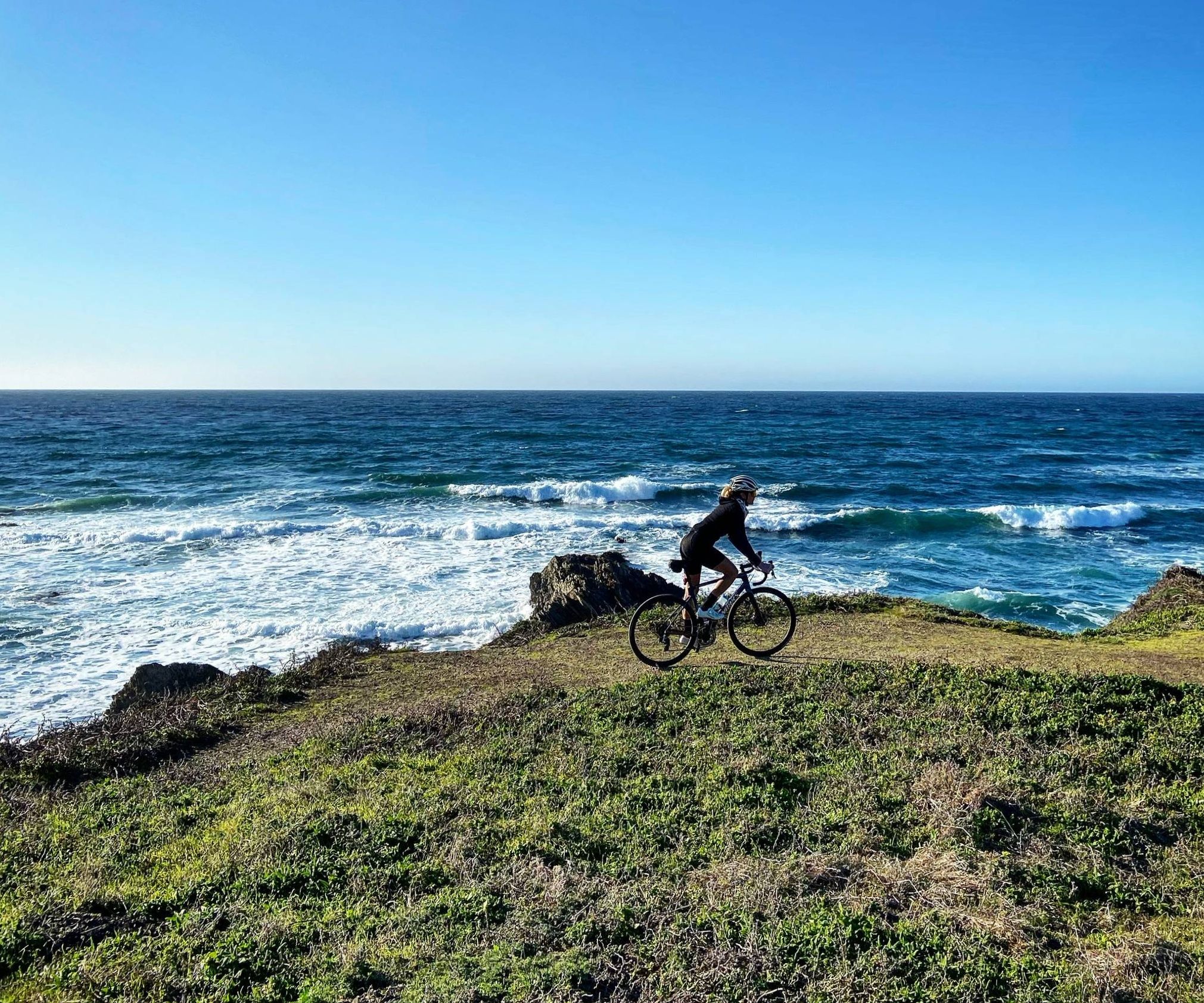
Mountain roads and dirt of California — Central Coast Love
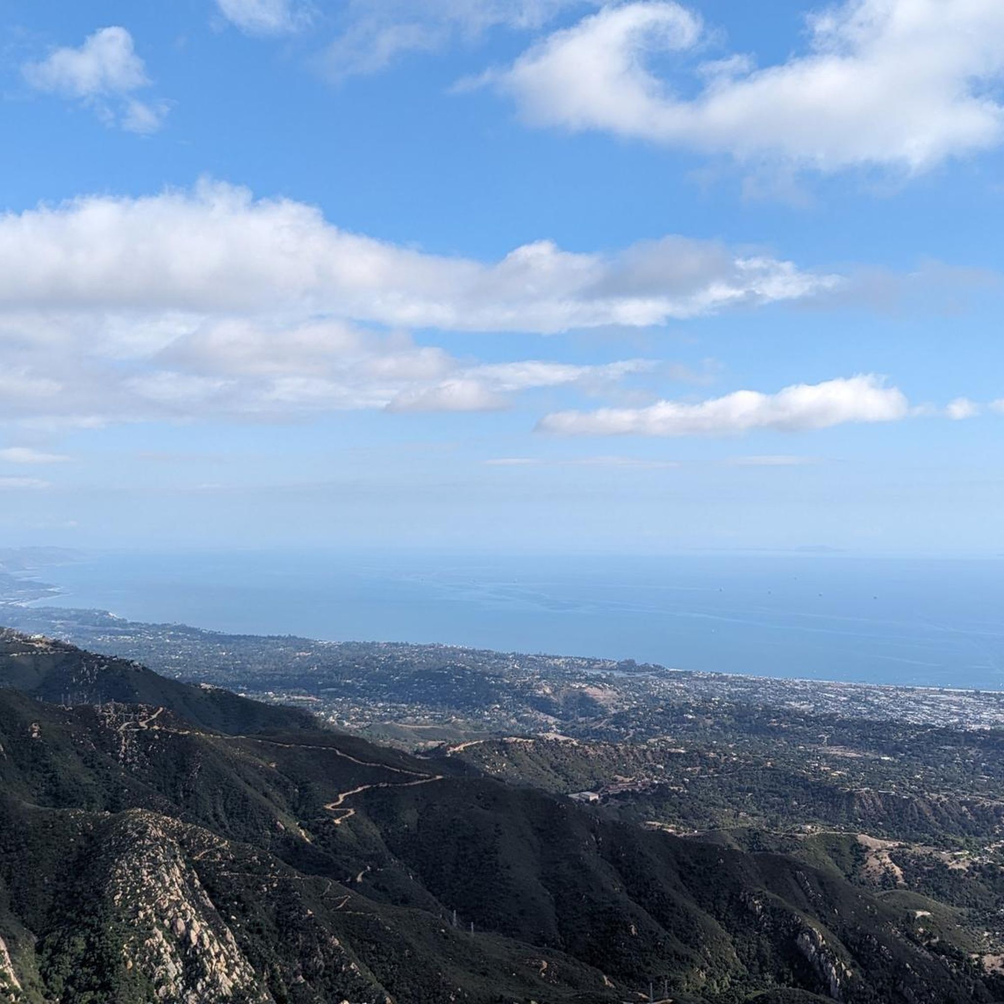
Hiking in the Santa Ynez Mountains
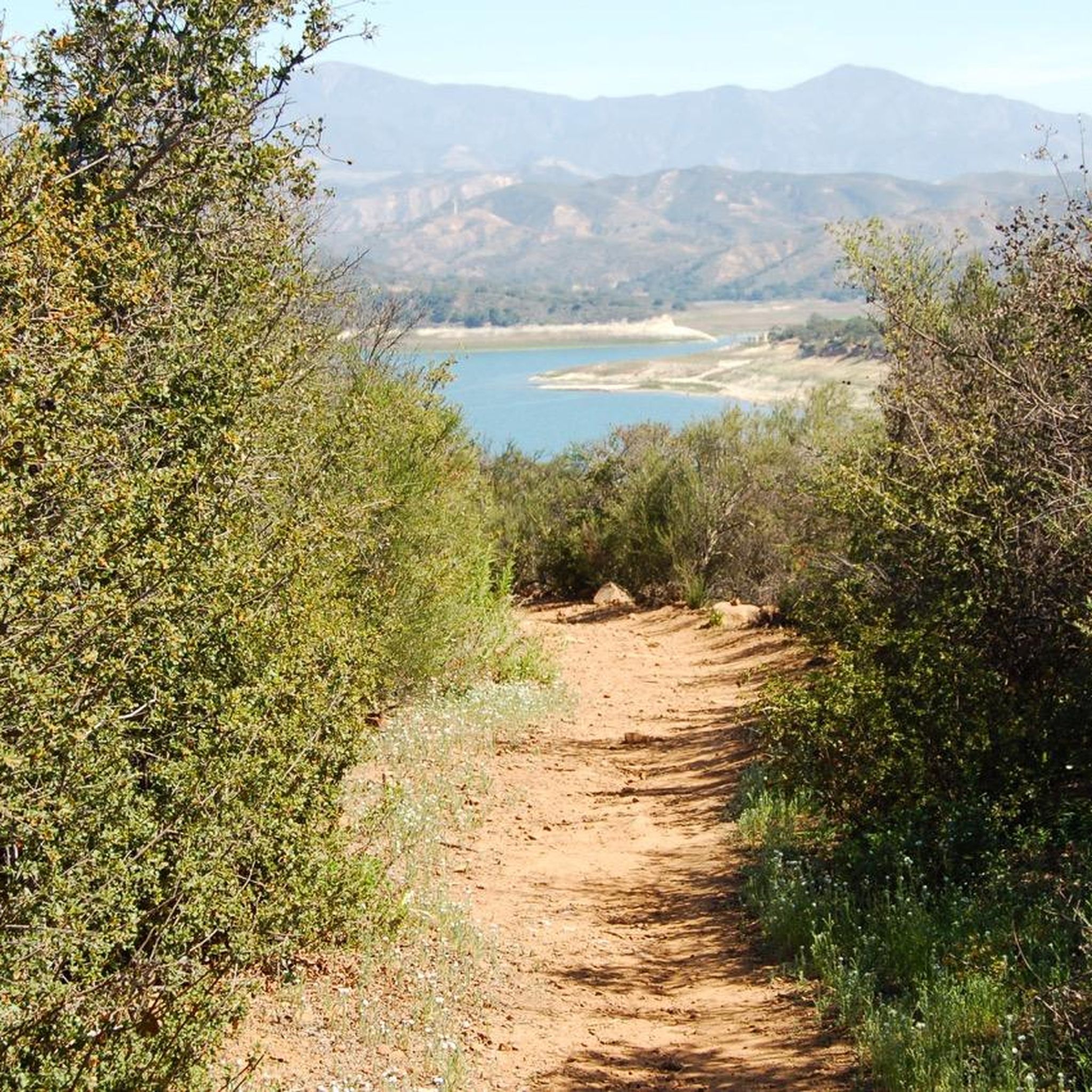
Running Trails in the Santa Ynez Mountains
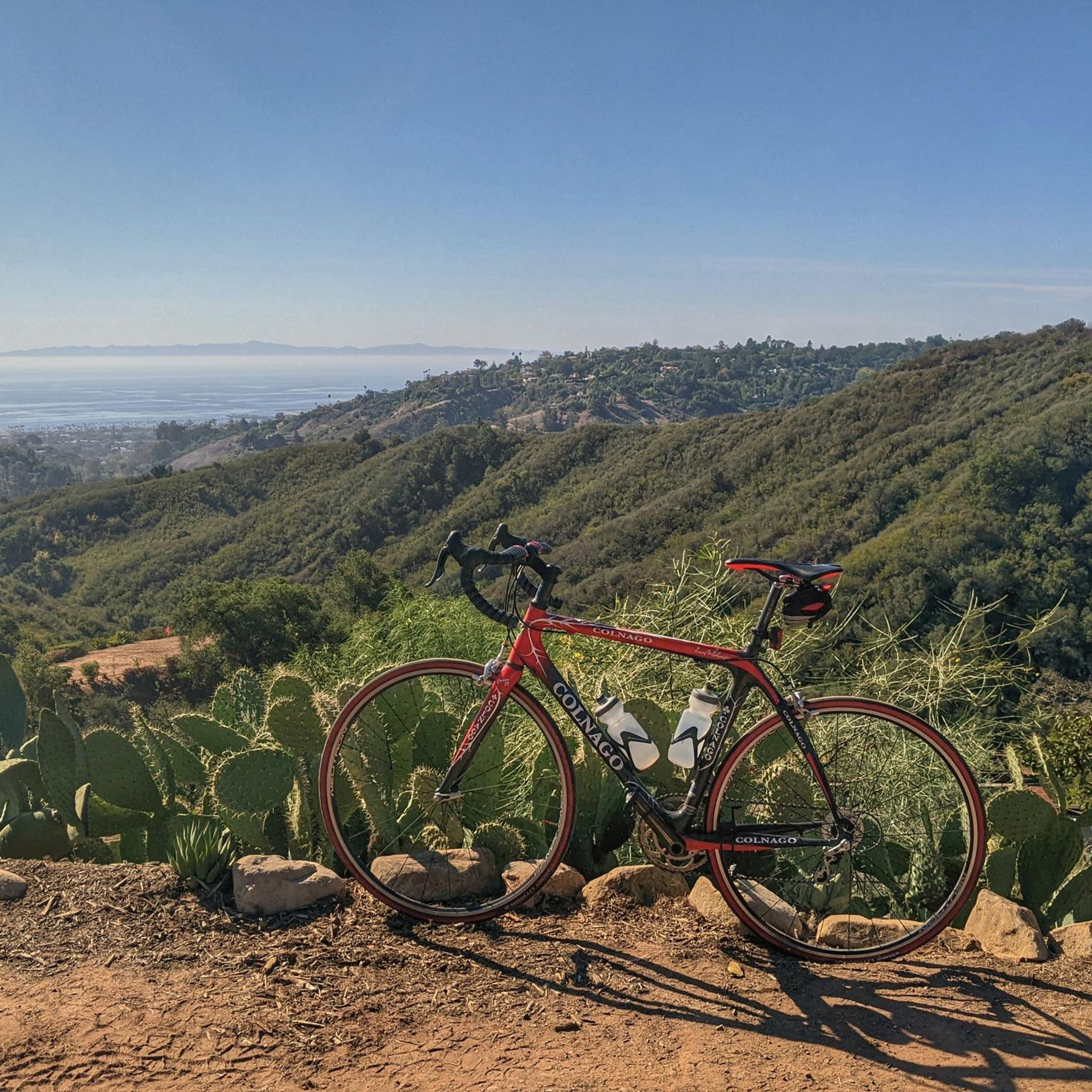
Road Cycling Routes in the Santa Ynez Mountains
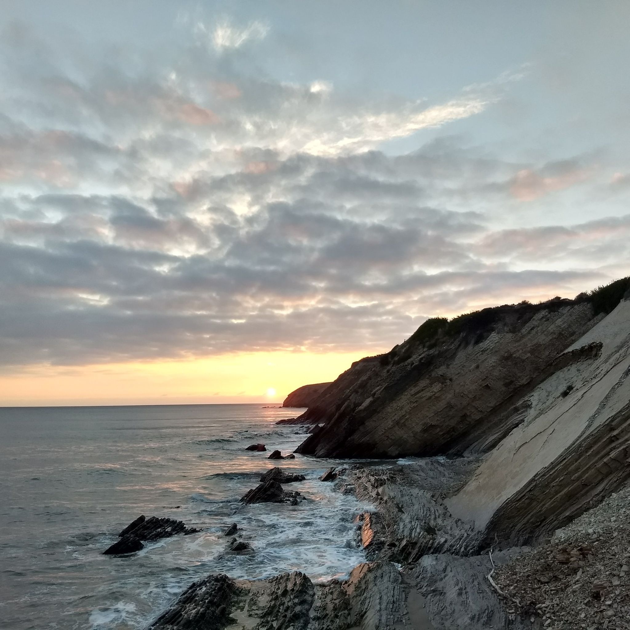
Cycling in the Santa Ynez Mountains
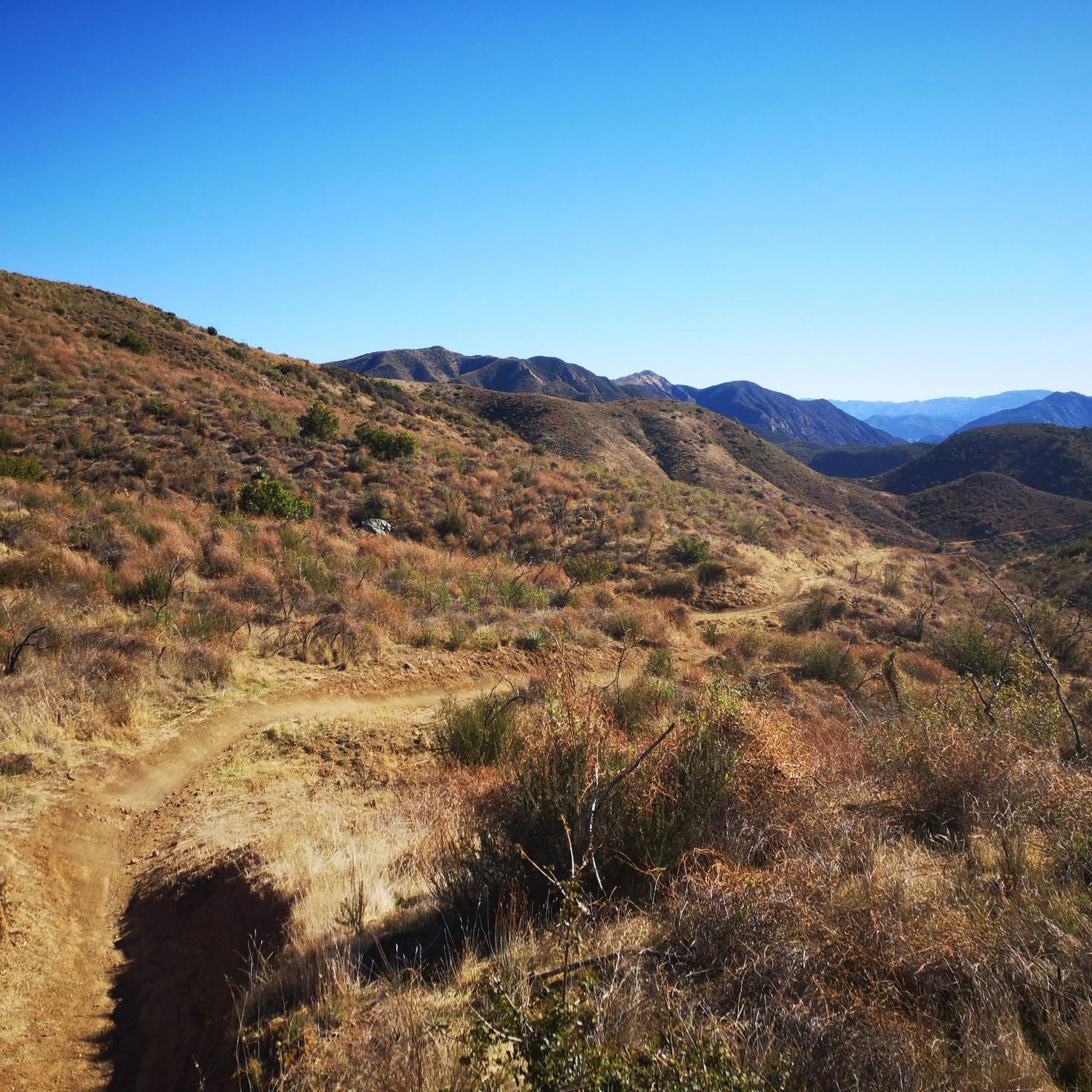
Gravel biking in the Santa Ynez Mountains


Tips from the Community

This popular multi-use trail for hikers, runners, and cyclists is maintained by SAGE Trail Alliance, a nonprofit funded by donations. The route starts as a fire road, then quickly shifts to a single track due to overgrowth, with a smooth climb and fantastic views. The trail is excellent for beginners, although intermediate and advanced riders may prefer using the single track for a fast descent; however, the trail is heavily trafficked, so please refrain from racing down the fire road. Riders must use a bell, which is available for free at bell boxes in the parking area.
1
0
This trail is a rocky and technically challenging singletrack that winds along and crosses Romero Creek. You can tackle it as a short loop by climbing the Romero Fire Road, or you can choose a longer adventure that includes the Upper Romero singletrack. The path is both fast and flowing, but watch out for the technical rock gardens that pop up along the way. A beautiful grove of gnarled oak trees lines this section, so be prepared to make quick decisions about your route!
0
0
This trail is a favorite among mountain bikers, offering a fast downhill with a mix of smooth, flowing sections of dirt and shale, along with challenging rock gardens. There are plenty of oak trees for shade, along with some small creek crossings, making for a fun and challenging ride.
0
0
The Camuesa Connector Trail is a fantastic route from Big Pine/Buckhorn Road to Paradise Road along the Santa Ynez River and is a great ride the entire way. After a short descent, the trail levels off before climbing with several switchbacks. While all turns are rideable, it may be best to walk a few, even by intermediate riders. The real fun begins on the descent toward the river, with smooth sections, tight turns, and rocky areas where you’ll reach the riverbed after an exposed rocky section. This crossing varies, but is usually shallow.
0
0

West Mountain Drive is a great paved road that runs along the hills behind Santa Barbara. As you pedal along, you are treated to great views of Santa Monica and the Pacific Ocean.
1
0
Nice view over Los Padres National Forest. The climb up to the peak is challenging, but it is worth the effort for the great vistas.
1
0

This is a lovely trail running route through the Los Padres National Forest. You'll be running through a lush grove of oaks and sycamores, with superb valley views throughout. There's a series of climbs and drops that'll certainly get your blood pumping, so stay hydrated and take rests when needed.
1
0
Follow this 2-mile trail northwards through the front country of Montecito to reach the magnificent Hot Springs. The springs are made up of 6 six pools that cascade down the mountains from the hottest to the coolest. It's the perfect spot to rest your legs after a tough run. The path itself is wide and nicely graded but does incur a steady elevation gain throughout. There's plenty of shade and mountain breeze though.
1
0
Frequently Asked Questions
How many mountain bike trails are available in the Santa Ynez Mountains?
There are over 20 mountain bike trails in the Santa Ynez Mountains, offering a variety of experiences for different skill levels. You'll find 2 easy routes, 13 moderate routes, and 8 difficult routes to explore.
What kind of terrain can I expect when mountain biking in the Santa Ynez Mountains?
The Santa Ynez Mountains offer diverse terrain, ranging from smooth, flowing dirt sections to challenging rock gardens and creek crossings. The region is characterized by extensive chaparral and oak woodlands, with a narrow, well-defined ridge providing varied exploration opportunities. You can expect a mix of ascents, descents, and switchbacks.
Are there any easy mountain bike trails suitable for beginners?
Yes, the Santa Ynez Mountains offer a couple of easy mountain bike trails. These routes are generally smooth and rolling, making them suitable for novices looking to enjoy the scenery without overly technical challenges.
Which mountain bike trails offer the best scenic views?
Many trails in the Santa Ynez Mountains provide stunning vistas. For example, the Romero Canyon Trail Viewpoint loop from Montecito offers excellent views. Generally, routes at higher elevations or those near the coast will provide breathtaking views of the Pacific Ocean, Lake Cachuma, and the surrounding rolling hills and vineyards.
Are there any loop trails for mountain biking in the Santa Ynez Mountains?
Yes, many mountain bike routes in the Santa Ynez Mountains are designed as loops. For instance, the Camuesa Connector Trail loop from Lower Oso Picnic Site and the Arroyo Burro Trail loop from Lower Oso Picnic Site are popular options that allow you to start and finish at the same point.
What is the longest mountain bike trail in the Santa Ynez Mountains?
The longest mountain bike trail in the area is the Butterfly Beach Santa Barbara – Stearns Wharf loop from Carpinteria, which spans approximately 44.8 kilometers (27.8 miles). This moderate route offers a significant distance for endurance riders.
What is the best time of year for mountain biking in the Santa Ynez Mountains?
The Santa Ynez Mountains experience a Mediterranean climate, with most precipitation occurring between November and March. Therefore, the best time for mountain biking is typically during the drier months, from late spring through early autumn, when trails are less muddy and weather is generally mild and sunny. However, riding during the cooler, wetter months can also be enjoyable, provided trails are not overly saturated.
Are there any waterfalls or natural monuments to see along the trails?
Yes, the region features several natural attractions. You can find waterfalls such as Tangerine Falls and Nojoqui Falls. Additionally, the Montecito Hot Springs are a notable natural monument in the area.
What do other mountain bikers say about the trails in the Santa Ynez Mountains?
The mountain bike trails in the Santa Ynez Mountains are highly rated by the komoot community, with an average score of 4.7 stars from over 28 reviews. Many riders praise the varied terrain, stunning ocean views, and the network's ability to cater to different ability levels.
Are there any challenging or difficult mountain bike trails for experienced riders?
Yes, the Santa Ynez Mountains offer several difficult trails for experienced mountain bikers. Routes like the West Fork Cold Spring Trail – Montecito Creek loop from Montecito and the Gibraltar Road loop from Upper State provide sustained climbs, technical rocky sections, and demanding descents.
What are some interesting places to explore near the mountain biking routes?
Beyond the trails, you can explore charming towns and natural areas. Solvang, known for its Danish culture, is a unique settlement nearby. The Carpinteria Bluffs Nature Preserve offers beautiful viewpoints, and the Hamlet Square & Copenhagen House provide a glimpse into local history.
Are there any specific trails known for fast downhill sections?
The region's trails offer a mix of experiences. While specific trails are not exclusively designated for downhill, routes like the Inspiration Point – Jesusita Trail loop from Mission Canyon are known among local mountain bikers for their varied terrain, which includes enjoyable downhill sections.
Most popular routes in the Santa Ynez Mountains
Most popular attractions in the Santa Ynez Mountains

Get inspired with the komoot mobile app


Explore more
Browse the best MTB trails in other regions.
