The best walks and hikes in the Santa Ynez Mountains
4.5
(134)
3,295
hikers
115
hikes
Hiking in the Santa Ynez Mountains offers diverse landscapes within a Mediterranean climate, characterized by California chaparral and woodlands. The region features trails winding through forests of California bay, sycamore, and oak, leading to chaparral-covered mountainsides. Rugged sandstone topography provides significant elevation changes, offering panoramic views of the Pacific Ocean and Santa Barbara's backcountry. The Santa Ynez River parallels the mountains to the north, contributing to the varied natural features.
Best hiking trails in the Santa Ynez Mountains
- The most popular hiking route is San Ysidro, McMenemy, and Girard Trail Loop, a 3.4 miles (5.5 km) trail that takes 1 hour 49 minutes to complete. This route features varied terrain and views.
- Another top favourite among local hikers is Rattlesnake Canyon and Tunnel Trail, a moderate 7.3 miles (11.8 km) path. This trail leads through canyons and offers significant elevation gain.
- Local hikers also love the La Cumbre Peak and Inspiration Point Loop, a 13.0 miles (20.9 km) trail leading through mountainous landscapes, often completed in about 7 hours 26 minutes.
- Hiking in the Santa Ynez Mountains is defined by chaparral-covered mountainsides, extensive oak woodlands, and panoramic ocean views. The network offers options for easy family-friendly walks to strenuous climbs with significant elevation gains.
- The routes in Santa Ynez Mountains are highly rated by the komoot community with an average score of 4.5 stars from over 100 reviews. More than 1,400 hikers have used komoot to explore Santa Ynez Mountains's varied terrain.
Last updated: July 8, 2026
5.0
(2)
14
hikers
5.46km
01:49
300m
230m
Embark on the San Ysidro, McMenemy, and Girard Trail Loop, a moderate hike that takes you through a diverse landscape of eucalyptus forests, chaparral, and grassy mountainsides. This 3.4-mile (5.5 km) route involves a steady climb of 996 feet (304 metres), typically completed in about 1 hour and 49 minutes. As you hike, you'll discover expansive views over Montecito and the Pacific Ocean, with the Channel Islands often visible on clear days. Make sure to pause at the McMenemy bench for truly panoramic vistas. You'll also encounter picturesque small waterfalls and pools within the San Ysidro Canyon section, including the impressive 60-foot San Ysidro Falls.
This popular loop is open year-round, making it accessible for hiking in any season you choose. You can generally find parking conveniently located near the trailhead in Montecito, though specific fees or permits are not usually required. The trail welcomes your leashed canine companion, so feel free to bring your dog along for the adventure. Consider starting your hike earlier in the day to enjoy cooler temperatures and potentially fewer crowds, especially during peak seasons. Always check local conditions before heading out.
Located within the Los Padres National Forest, this trail offers a rewarding experience in the Santa Ynez Mountains. The varied terrain and elevation changes provide a good workout while immersing you in the natural beauty of the region. It's a great option if you're looking for a trail that combines physical activity with stunning coastal and mountain scenery, offering a different perspective than many other local routes.
5.0
(2)
10
hikers
11.8km
04:16
760m
630m
The Rattlesnake Canyon and Tunnel Trail in Santa Barbara is a dynamic hiking experience, winding through shaded alder forests and alongside a year-round creek with cascading waterfalls. You'll navigate varied terrain, from well-maintained paths to rocky sections, as you climb through the canyon. The route eventually opens up to expansive views of the Pacific Ocean and the city, making the sustained ascent incredibly rewarding.
To tackle this moderate 7.3-mile (11.8 km) hike, which includes 2496 feet (761 metres) of elevation gain and takes about 4 hours and 16 minutes, plan to start early, especially on busy days. The trailhead is easily accessible near Skofield Park, but parking can be limited. Spring is an ideal time to visit, as the trail comes alive with wildflowers, though it's enjoyable year-round.
Beyond its natural beauty, the trail holds historical significance, with remnants of an early 1800s dam that once served the Mission. You can also find traces of the "Tin Can Meadow," a nod to early 20th-century homesteaders. This trail offers a unique blend of natural wonder and local history, providing a deeper connection to the Santa Barbara landscape.

Sign up for free
5.0
(1)
11
hikers
2.00km
00:34
40m
40m
The Porter Trail offers a delightful, easy walk, perfect for a quick nature break. This short route is ideal for those seeking a gentle path to unwind and enjoy the outdoors without significant effort. It's a pleasant way to spend some time outside, whether you're a seasoned hiker or just looking for a casual stroll.
Planning your visit to the Porter Trail is straightforward. This easy 1.2-mile (2.0 km) hike, with a modest 129 feet (39 metres) of elevation gain, typically takes around 33 minutes to complete. It's a great option for a spontaneous outing, and you can generally visit any time of year. Always remember to carry water, especially on warmer days, to stay comfortable.
Located in the Mission Canyon area of Santa Barbara County, the Porter Trail provides a convenient escape into the local natural environment. Its easy difficulty makes it a welcoming option for families and beginners, offering a chance to connect with nature without the demands of more strenuous trails. It's a solid choice for a quick, refreshing outdoor experience.
5.0
(1)
4
hikers
6.16km
03:02
620m
500m
Embark on the Arlington Peak and Cathedral Peak Loop for a challenging hiking experience through rugged terrain. This difficult 3.8-mile (6.2 km) route demands a good fitness level, climbing 2046 feet (624 metres) over an estimated 3 hours and 2 minutes. You will navigate steep dirt paths and extensive boulder fields, including the prominent ridgeline known as the 'Dragon's Back'. As you ascend, you'll encounter rewarding scrambling sections. Reach Arlington Peak for sweeping panoramic views of the Santa Barbara coast, the Santa Ynez Mountains, and the Channel Islands. The impressive west face of Cathedral Peak also comes into view, offering a dramatic backdrop to your adventure.
Prepare for a largely unmaintained trail, meaning good route-finding skills are essential for a safe journey. Some rocks may have faint markings like black arrows or colored dots to help guide you. Be aware that shade is limited along the route, so plan your start time to avoid the hottest parts of the day. You should also watch out for potential patches of poison oak. Always carry enough water and sun protection for this strenuous outing.
This loop takes you through the diverse landscape of Los Padres National Forest, known for its unique geology and chaparral ecosystems. The trail's challenging nature, with its significant elevation changes and class 2 and 3 scrambling, sets it apart from many other local hikes. It offers a true wilderness feel close to Santa Barbara, providing an opportunity to test your limits and enjoy solitude. The 'Dragon's Back' ridgeline, with its large sandstone boulders, is a distinctive feature of this memorable route.
5.0
(1)
4
hikers
20.9km
07:26
1,300m
920m
Embark on the La Cumbre Peak and Inspiration Point Loop for a truly demanding hiking experience in the Santa Ynez Mountains. This difficult 13.0-mile (20.9 km) route challenges you with a significant 4254 feet (1297 metres) of elevation gain, taking around 7 hours and 26 minutes to complete. As you ascend, you'll traverse varied terrain, from shaded sections lined with eucalyptus trees to rocky paths and areas characterized by chaparral, all leading to expansive vistas.
Planning your visit requires careful consideration due to the route's length and difficulty. Ensure you are well-prepared with sturdy footwear, ample water, and reliable navigation tools before setting out. Parking at trailheads, especially near Inspiration Point, can become very busy on weekends, so an early start is advisable to secure a spot and enjoy the trails with fewer crowds. This is not a casual stroll; it demands good physical condition and preparedness.
This loop uniquely combines two of Santa Barbara's most iconic viewpoints, offering distinct yet equally impressive panoramas. From La Cumbre Peak, the highest point in the range, you are rewarded with sweeping 360-degree views stretching across the South Coast, the Channel Islands, and the Santa Ynez Valley. Later, Inspiration Point provides a classic, picturesque outlook over Santa Barbara and the vast Pacific Ocean, making the strenuous effort well worth it for the visual payoff.
3
hikers
2.12km
00:44
150m
20m
The Gaviota Wind Caves Trail offers a distinctive hiking experience, leading you to remarkable sandstone formations carved by wind over centuries. This 1.3-mile (2.1 km) route, while rated easy, features a quick, steep ascent of 496 feet (151 metres) that will get your heart pumping, typically taking around 43 minutes. As you climb, you'll be treated to expansive panoramic views of the Pacific Ocean and the rugged Gaviota coastline, culminating in the unique wind caves, some of which feature a prominent circular window.
Planning your visit means considering the trail's exposed nature; there's very little shade, so tackling this hike in cooler weather or during the early morning or late evening is advisable. The trailhead is conveniently located right off Highway 101, making it an accessible stop for a quick adventure. Be prepared for uneven, rocky terrain and steep sections that can feel more challenging than the "easy" rating suggests.
What truly sets this trail apart are the Gaviota Wind Caves themselves, a geological marvel that provides fantastic photo opportunities and a chance to explore natural shelters. The continuous impressive views of the undeveloped Gaviota Coast and the Santa Ynez Mountains further enhance the experience, making it a memorable destination for those seeking unique natural features and stunning vistas in Santa Barbara County.
1
hikers
1.83km
00:30
40m
10m
The Ennisbrook Trail offers a serene and easy hike through Montecito's lush landscape, perfect for a quick nature fix. You'll wander through ancient oak forests, some dating back to the 1840s, and follow the gentle meander of San Ysidro Creek, crossing charming historic stone bridges. This easy 1.1-mile (1.8 km) route features a minimal 142 feet (43 metres) of elevation gain and takes about 30 minutes, making it an ideal choice for a relaxing outing.
Planning your visit is straightforward; the trailhead is marked by a distinctive white picket fence, welcoming you into this tranquil preserve. The dense oak canopy provides excellent shade, making it a comfortable walk even on sunny days, and spring brings a vibrant display of wildflowers. It's a dog-friendly trail, though keeping your pet on a leash is advised, and it's suitable for families and beginners looking for a peaceful stroll.
Part of the 44-acre Ennisbrook Preserve, this trail is also known as the San Ysidro Oak Woodland and is maintained in consultation with the Land Trust for Santa Barbara County. It offers a quiet alternative to more crowded paths, and you can easily connect it with other local routes, such as the Coffin Family Trail or Reservoir Trail, if you're seeking a longer hiking experience.
2
hikers
9.67km
03:34
970m
10m
Prepare for a demanding hike on the Santa Cruz Trail, a 6.0-mile (9.7 km) route that challenges you with 3172 feet (967 metres) of elevation gain. You will begin your journey in Oso Canyon, where the path meanders through oak trees and alongside a flowing creek. As you climb steadily towards Little Pine Mountain, the scenery changes to include pine forests, distinctive serpentine rocks, and open grasslands, making this difficult trek an estimated 3 hours and 34 minutes of effort.
Before you head out, plan your visit carefully. The trailhead is conveniently located near Upper Oso Campground, where you can typically find parking for your vehicle. Always remember to check the local forest service websites for the most current information on trail conditions or any potential closures, ensuring a safe and informed adventure.
This trail offers a unique experience within the vast Los Padres National Forest, showcasing diverse ecosystems from canyon bottoms to mountain slopes. You will encounter a steep sidehill section known as the "40 Mile Wall" before the route descends into the Santa Cruz drainage. It is a notable path for those seeking a rigorous outdoor challenge in Santa Barbara County.
2.44km
01:11
310m
0m
Embark on a difficult hiking adventure along the Tangerine Falls Trail, a rugged 1.5 miles (2.4 km) route that challenges you with a significant 1015 feet (309 metres) of elevation gain. This path quickly becomes unmaintained, requiring you to scramble over rocks and navigate through dense foliage. You will pass through lush canyons and shaded oak and sycamore groves, immersing yourself in the natural beauty of Los Padres National Forest. The hike, which typically takes around 1 hour and 11 minutes, leads you to the impressive 100-foot Tangerine Falls. From the falls, you can often enjoy panoramic views stretching across the Pacific Ocean to the Channel Islands.
Before you head out, be aware that the Tangerine Falls Trail is not for beginners; its unmaintained sections demand good route-finding skills and often require using your hands to climb. Cell service can be unreliable in this area, so it is wise to bring a GPS device or a physical map. The trail can become particularly treacherous and slippery when wet, so plan your visit for dry conditions to ensure a safer experience. Always check weather forecasts before you go.
What makes this trail unique is the distinctive 'tangerine' hue of the rocks surrounding the waterfall, which gives the falls their name. This challenging route offers a true wilderness experience within Los Padres National Forest, far from the usual paved paths. It stands out as a rewarding option for experienced hikers seeking a rugged journey to a scenic waterfall with expansive ocean vistas.
5.0
(1)
1
hikers
3.20km
01:09
320m
0m
Embark on a moderate hike along the San Ysidro Trail, a 2.0-mile (3.2 km) route that winds through lush coastal woodlands and past ancient oak trees. You will gain 1057 feet (322 metres) in elevation, a journey that typically takes about 1 hour and 9 minutes to complete. As you follow the gurgling San Ysidro Creek, the path leads you into impressive narrows carved from Coldwater and Matilija Sandstone. Keep an eye out for the numerous small waterfalls and cascades that dot the landscape. The highlight of your adventure is the beautiful San Ysidro Falls, especially vibrant after a good rain.
Planning your visit to the San Ysidro Trail is straightforward, as it is generally accessible throughout the year. You can find parking conveniently located near the trailhead on East Mountain Road. While the initial sections of the route are suitable for families, be aware that the path leading to the base of the falls can become slippery, particularly following rainfall. Always wear appropriate footwear and exercise caution on wet surfaces to ensure a safe and enjoyable experience.
This trail offers a rewarding experience for those seeking a relatively short yet scenic outing within the Los Padres National Forest. The diverse landscape, transitioning from dense woodlands to unique sandstone formations, showcases the natural beauty of the region. The presence of the San Ysidro Creek and its numerous waterfalls makes this route a popular choice for nature lovers. It provides a perfect opportunity to immerse yourself in the local environment and enjoy the tranquility of the outdoors.
Get access to more routes and recommendations from other explorers.
Sign up for free
Already have an account?
Our route recommendations are based on thousands of hikes, rides, and runs completed by other people on komoot.
Start today with a free account
Your next adventure awaits.
Login or Signup
Popular around Santa Ynez Mountains

California Coastal Trail — Following the coastline from Mexico to Oregon
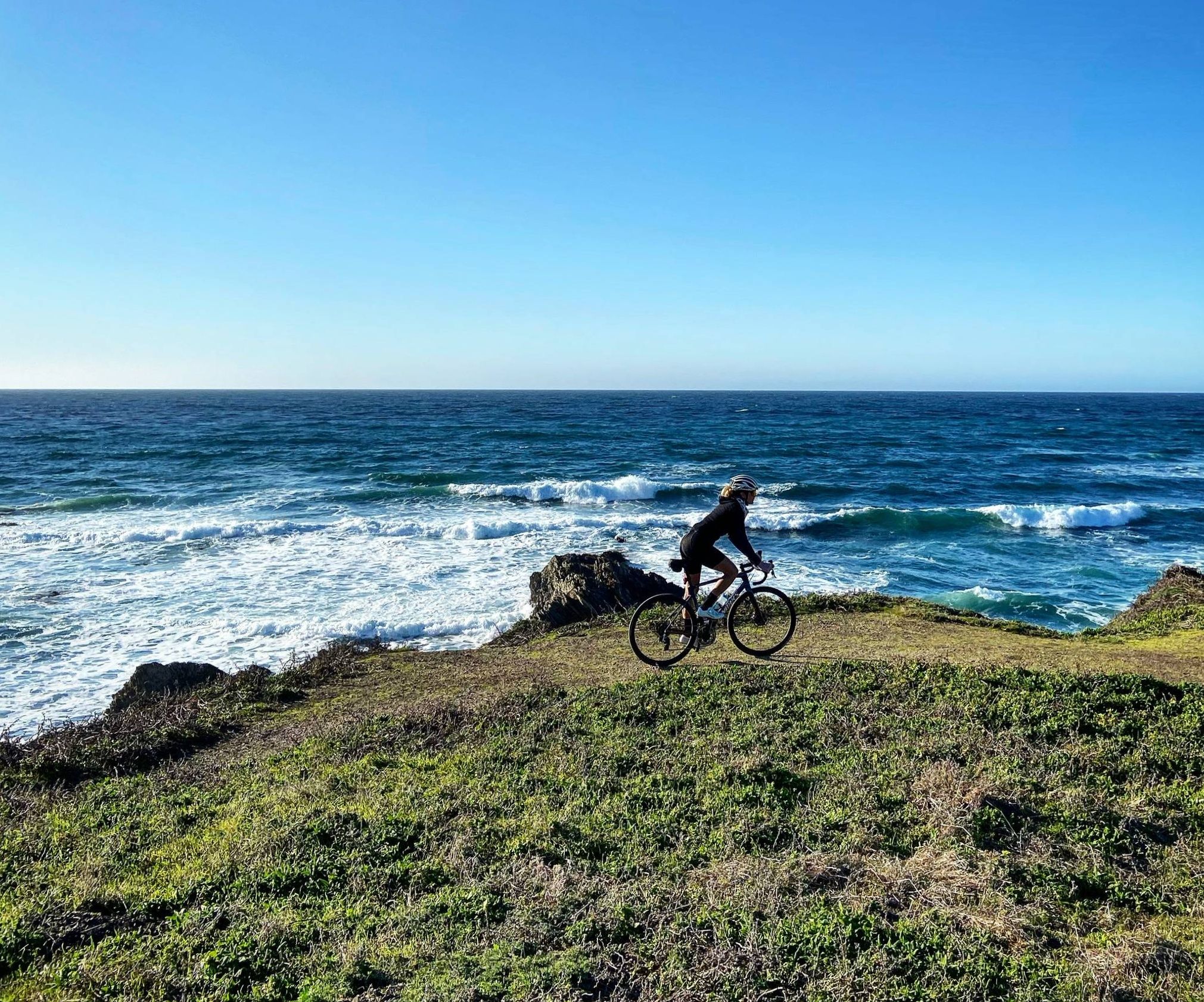
Mountain roads and dirt of California — Central Coast Love
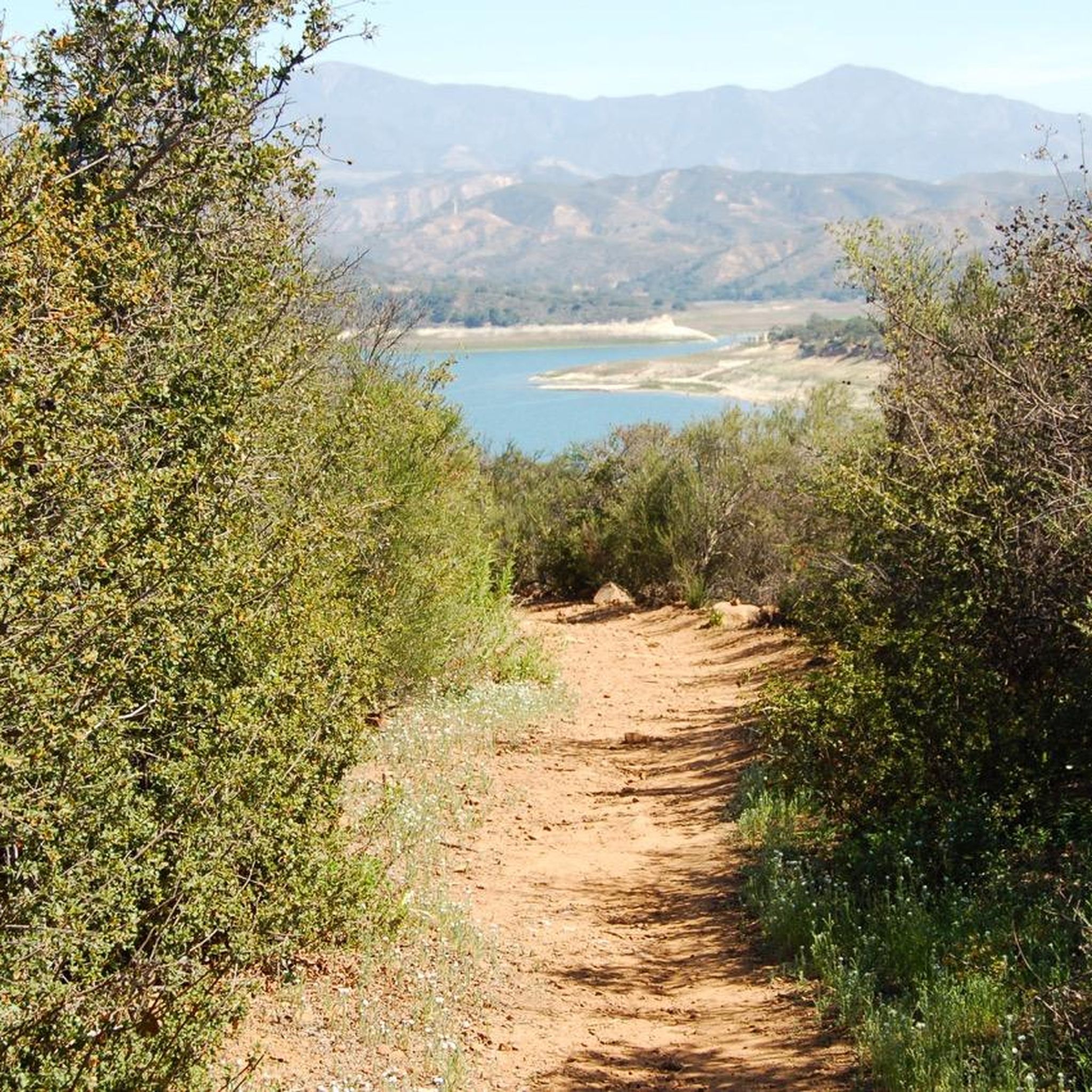
Running Trails in the Santa Ynez Mountains
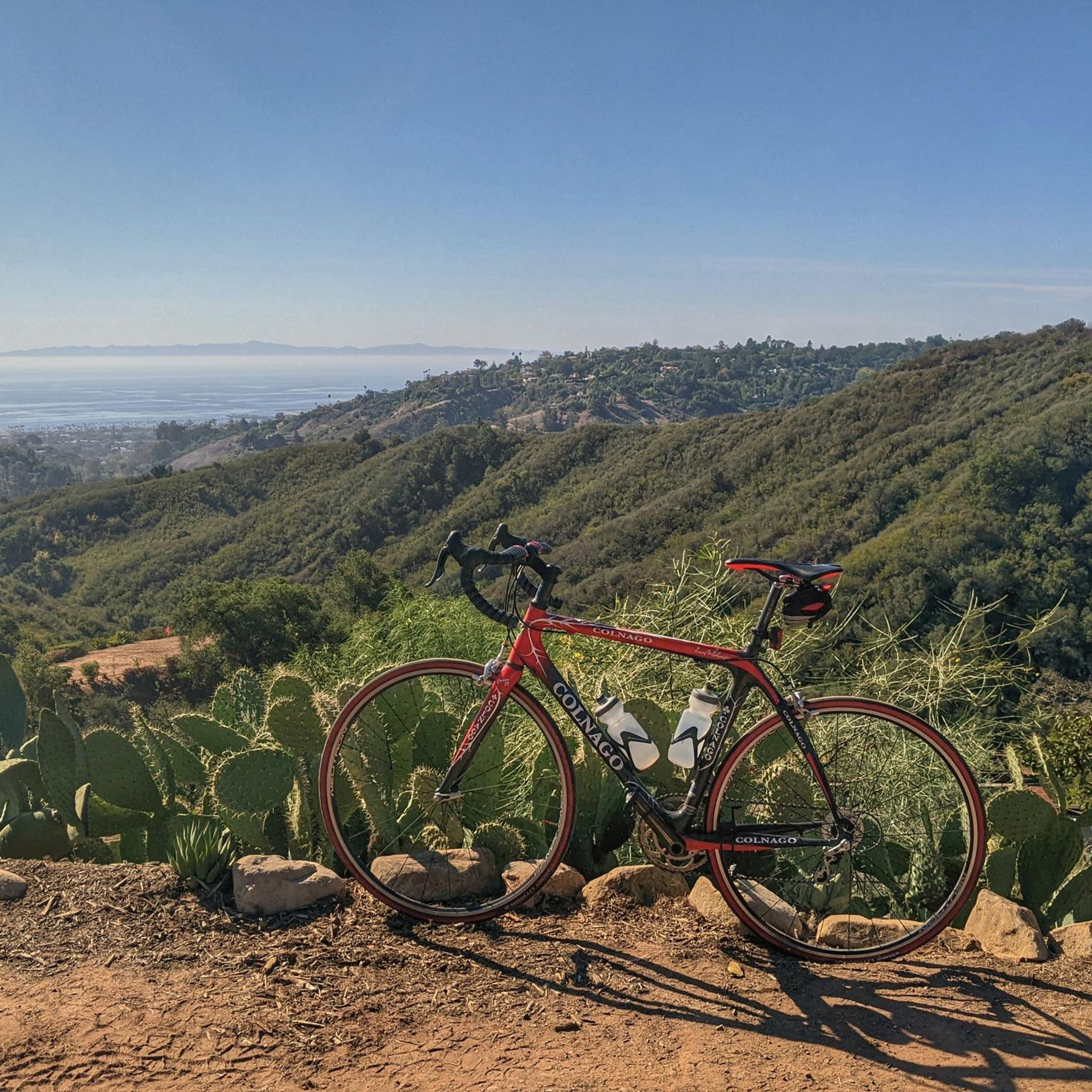
Road Cycling Routes in the Santa Ynez Mountains
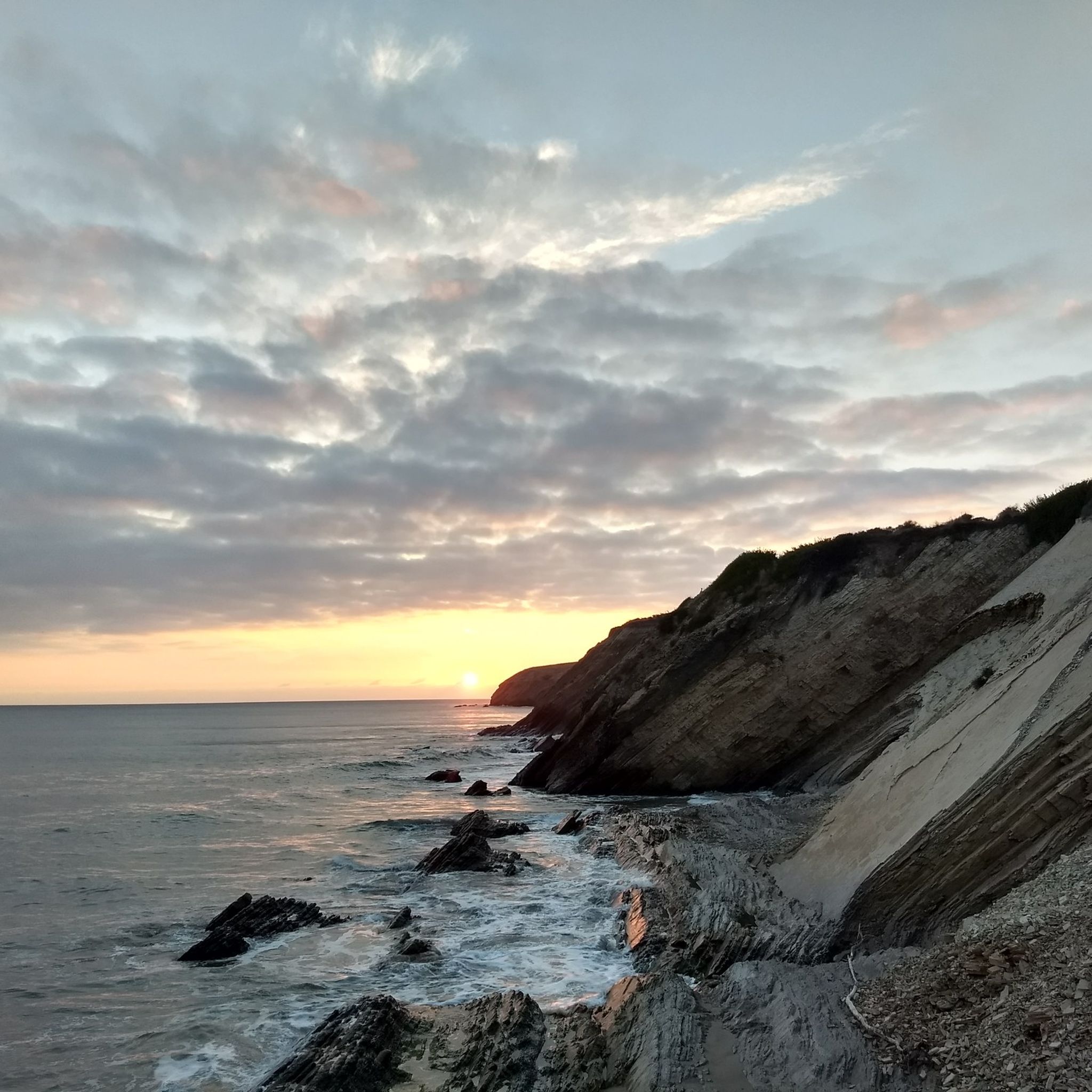
Cycling in the Santa Ynez Mountains
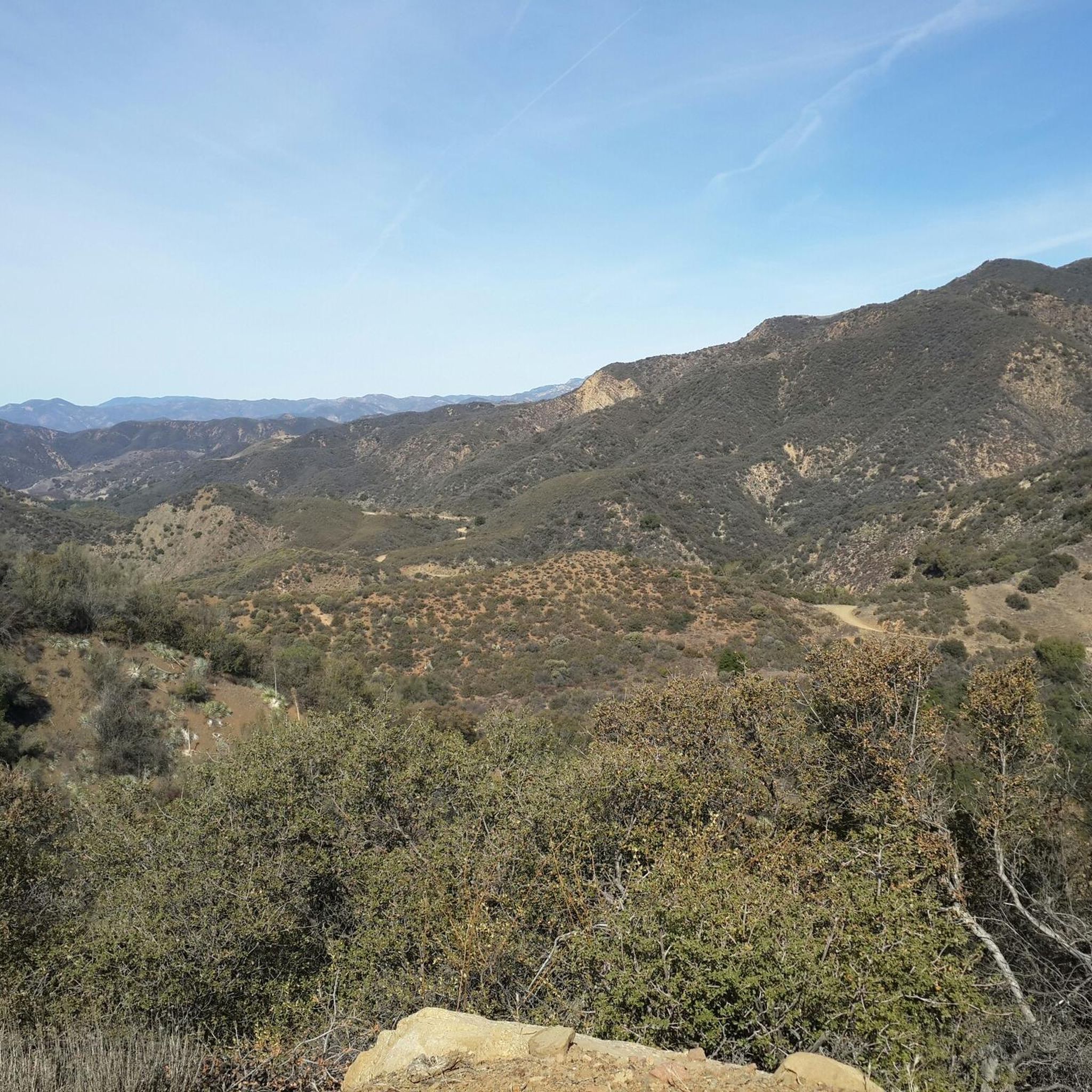
MTB Trails in the Santa Ynez Mountains
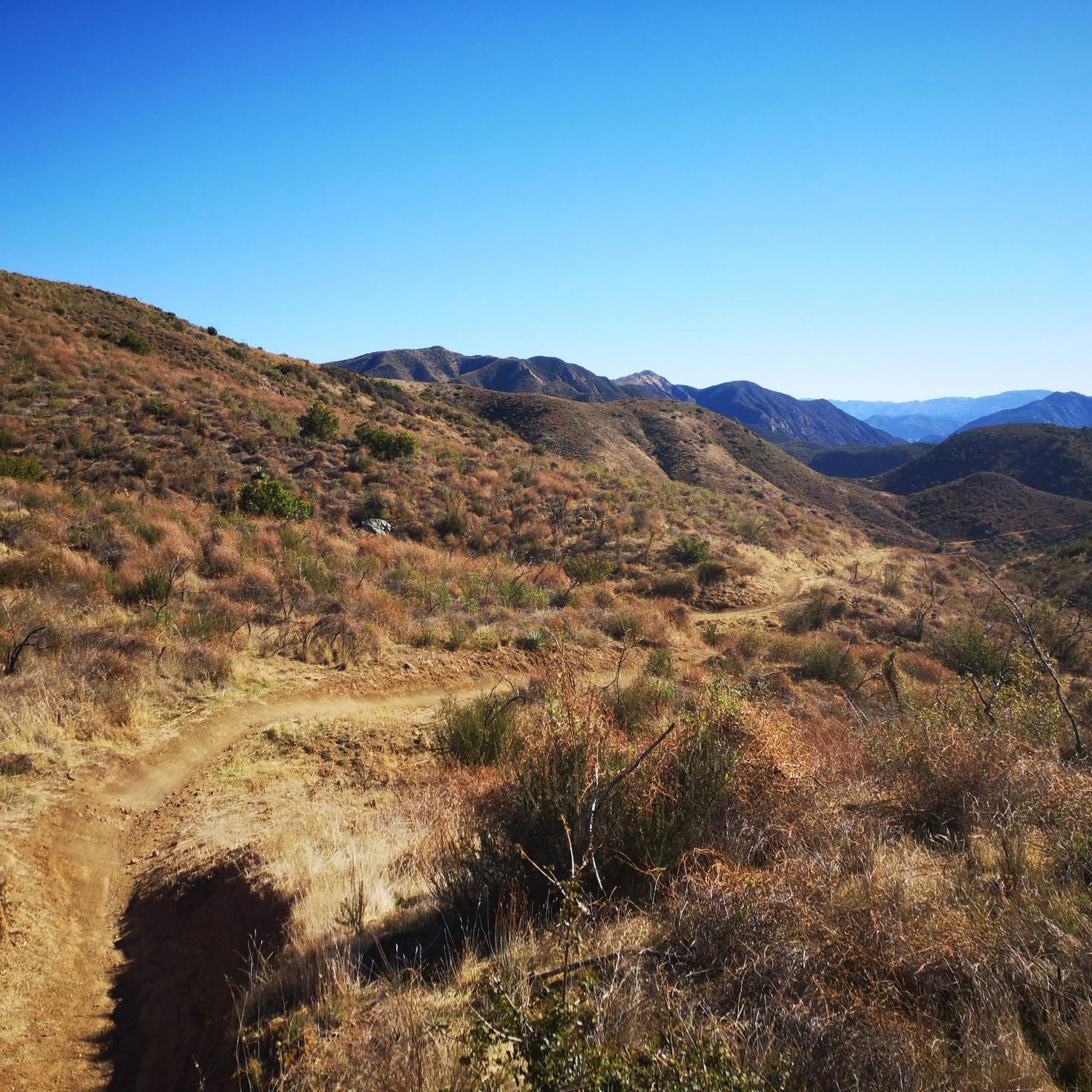
Gravel biking in the Santa Ynez Mountains


Tips from the Community

The top of the trail continues to be steep up to the higher win caves. It is worth the climb.
0
0

Known locally as Tangerine Falls (but also known as West Fork Cold Springs Falls), this "local Santa Barbara only" waterfall required quite an adventure for us. The hike wasn't really that well marked (at least for the waterfall) and we had to be prepared to do some pretty rough crawling, especially toward the end of the hike where the crawling was almost vertical.
0
1

The Gaviota Wind Caves are a set of stunning sandstone formations located in Gaviota State Park, just off the Pacific Coast Highway. Take a little time exploring the caves and enjoying the wonderful views across the park and out to the ocean.
0
0
It's a tough trail run through Rattlesnake Canyon with many switchbacks and elevation gain to get your blood pumping, but boy does the scenery make it all worthwhile. Don't be too put off by the name, it's very unlikely you'll see a rattlesnake here.
1
0

You have to climb over some little Rocks. The ones on the photo are beside them
0
0
We turned around here, because the new way is not easy to find an someone said we have to use ropes to climb up the hill
0
0

Runners can soak up epic views of Santa Barbara's coastline from the apex of Inspiration Point. Though the trail to the summit stays largely exposed, the spectacular vistas make the run well worth it. Despite the route's popularity, arriving early allows joggers to soak up the sights solo before the crowds arrive.
0
0
Reaching this aptly named pinnacle requires mountain bikers to power through hot, exposed switchbacks, but sweeping sights of the stunning Santa Barbara coast as a payoff provide motivation to push onward. Arrive early to beat crowds and ascend during Los Padres’ cool morning hours.
0
0
Frequently Asked Questions
How many hiking trails are there in the Santa Ynez Mountains?
The Santa Ynez Mountains offer a wide selection of hiking trails, with over 70 routes available for exploration. These range from easy walks to challenging climbs, catering to various fitness levels.
What types of terrain and difficulty levels can I expect on hikes in the Santa Ynez Mountains?
You'll find a diverse range of terrain, from trails winding along creeks shaded by California bay, sycamore, and oak trees, to chaparral-covered mountainsides. The rugged sandstone topography means significant elevation changes are common. There are 28 easy routes, 33 moderate routes, and 17 difficult routes, ensuring options for beginners and experienced hikers alike.
Are there any family-friendly hiking trails in the Santa Ynez Mountains?
Yes, the region offers several family-friendly options. For an easy walk, consider the Parma Park Trail, which is 3.3 miles long. Another great choice is the trail to Nojoqui Falls, which is particularly impressive in winter or spring and leads to an 80-foot waterfall.
Can I hike with my dog in the Santa Ynez Mountains?
Many trails in the Santa Ynez Mountains are dog-friendly, but it's always best to check specific trail regulations before you go. Generally, dogs are permitted on leash in most parts of the Los Padres National Forest, which covers much of the mountain range.
What are some notable natural features or landmarks to see while hiking?
Hikers can enjoy breathtaking panoramic views of Santa Barbara and the Pacific Ocean from many peaks. Montecito Hot Springs is a unique natural monument accessible via trails like the Montecito Hot Springs loop. The region also features several waterfalls, including Nojoqui Falls County Park.
Are there any trails with waterfalls in the Santa Ynez Mountains?
Yes, the Santa Ynez Mountains are home to several waterfalls. Nojoqui Falls County Park features an easy, family-friendly trail leading to an 80-foot waterfall, which is especially spectacular after winter rains. You can also find Tangerine Falls in the area.
What is the best time of year to hike in the Santa Ynez Mountains?
The Santa Ynez Mountains have a Mediterranean climate. The best time to hike is typically from late fall through spring (November to April) when temperatures are cooler and the landscape is greener. Wildflower season, from February to April, is particularly vibrant. Summers can be hot, especially at lower elevations.
Are there any circular hiking routes in the Santa Ynez Mountains?
Yes, there are several loop trails available. A popular option is the Montecito Hot Springs loop via Hot Springs Trail, a moderate 4.4-mile path. Another is the Rattlesnake Canyon Loop, a moderate 7.2-mile route.
What do other hikers enjoy most about the Santa Ynez Mountains?
The area is highly rated by the komoot community, with an average score of 4.3 stars from over 80 reviews. Hikers often praise the diverse landscapes, from shaded creek trails to panoramic ocean views, and the variety of routes suitable for different skill levels. The opportunity to reach viewpoints like Inspiration Point is frequently highlighted.
Are there any challenging day hikes in the Santa Ynez Mountains?
For those seeking a challenge, the Santa Ynez Mountains offer strenuous climbs with significant elevation gains. The ACLCT Loop is a difficult 8.9-mile route with nearly 1,000 meters of elevation gain. Trails leading to the spine of the range, such as Tunnel, Cold Springs, San Ysidro, and Romero Canyon, also provide demanding experiences.
Where can I find parking for hiking trails in the Santa Ynez Mountains?
Parking availability varies by trailhead. Many popular trailheads, especially those near Santa Barbara, have designated parking areas, though they can fill up quickly on weekends. It's advisable to arrive early or consider carpooling. Some trails within the Los Padres National Forest may require an Adventure Pass for parking, so check local regulations.
Are there any trails that offer views of Lake Cachuma?
Yes, the Santa Ynez Mountains offer trails with stunning views of Lake Cachuma. The Lake Cachuma Sweetwater Trail provides beautiful lakeside vistas. Additionally, the Tequepis Hiking Trail rewards hikers with both ocean and Lake Cachuma views after a moderate to hard climb.
Most popular routes in the Santa Ynez Mountains
Most popular attractions in the Santa Ynez Mountains

Get inspired with the komoot mobile app


Explore more
Browse the best Hikes in other regions.
