The best road cycling routes in the Santa Cruz Mountains
4.6
(285)
13,048
riders
391
rides
Road cycling routes in the Santa Cruz Mountains traverse a landscape defined by towering coastal redwoods, diverse forests, and dramatic topography. The region features challenging mountain climbs, serene natural features, and coastal vistas overlooking the Pacific Ocean. This area, stretching from San Francisco to the Salinas Valley, provides varied ecosystems, including chaparral brush and grasslands, alongside its dense woodlands.
Best road cycling routes in the Santa Cruz Mountains
- The most popular road cycling route is Pescadero Creek Road loop, a 52.2 miles (84.0 km) trail that takes 4 hours 30 minutes to complete. This route offers well-paved surfaces and varied segments.
- Another top favourite among local road cyclists is Old La Honda Road loop, a moderate 23.3 miles (37.5 km) path. This route is known for its challenging climb and scenic redwood groves.
- Local road cyclists also love the Tunitas Creek Road Loop, a 64.8 miles (104.2 km) trail leading through varied terrain, often completed in about 5 hours 12 minutes.
- Road cycling in the Santa Cruz Mountains is defined by towering redwoods, coastal views, and challenging mountain climbs. The network offers options for different ability levels, from moderate paths to difficult ascents.
- The routes in Santa Cruz Mountains are highly rated by the komoot community with an average score of 4.6 stars from over 230 reviews. More than 10,000 road cyclists have used komoot to explore Santa Cruz Mountains's varied terrain.
Last updated: August 31, 2026
5.0
(3)
449
riders
84.0km
04:30
1,610m
1,610m
Hard road ride. Very good fitness required. Mostly well-paved surfaces and easy to ride.
4.7
(3)
175
riders
92.0km
05:05
1,830m
1,830m
Hard road ride. Very good fitness required. Mostly well-paved surfaces and easy to ride.

Sign up for free
5.0
(1)
132
riders
104km
05:13
1,490m
1,490m
Hard road ride. Very good fitness required. Mostly well-paved surfaces and easy to ride.
4.0
(3)
177
riders
37.5km
02:05
730m
730m
Moderate road ride. Good fitness required. Mostly well-paved surfaces and easy to ride.
4.7
(3)
133
riders
101km
05:21
1,590m
1,590m
Hard road ride. Very good fitness required. Mostly well-paved surfaces and easy to ride.
4.3
(7)
112
riders
34.0km
01:31
340m
340m
Moderate road ride. Good fitness required. Mostly well-paved surfaces and easy to ride.
76
riders
104km
06:37
1,920m
1,920m
Hard road ride. Very good fitness required. Mostly well-paved surfaces and easy to ride.
3.8
(4)
80
riders
63.9km
02:53
630m
630m
Moderate road ride. Good fitness required. Some segments of this route may be unpaved and difficult to ride.
4.0
(1)
44
riders
49.7km
02:06
300m
300m
Moderate road ride. Good fitness required. Mostly well-paved surfaces and easy to ride.
40
riders
87.2km
03:47
750m
750m
Moderate road ride. Good fitness required. Mostly well-paved surfaces and easy to ride.
Get access to more routes and recommendations from other explorers.
Sign up for free
Already have an account?
Our route recommendations are based on thousands of hikes, rides, and runs completed by other people on komoot.
Start today with a free account
Your next adventure awaits.
Login or Signup
Popular around Santa Cruz Mountains

Classy road bike rides on the SF peninsula

Bay Area Ridge Trail — Circumnavigating the San Francisco Bay

Bay Area Ridge Trail — Hiking the backbone of The Bay

On the most beautiful route of California - The Pacific Coast Route

Chasing flow in the Bay Area
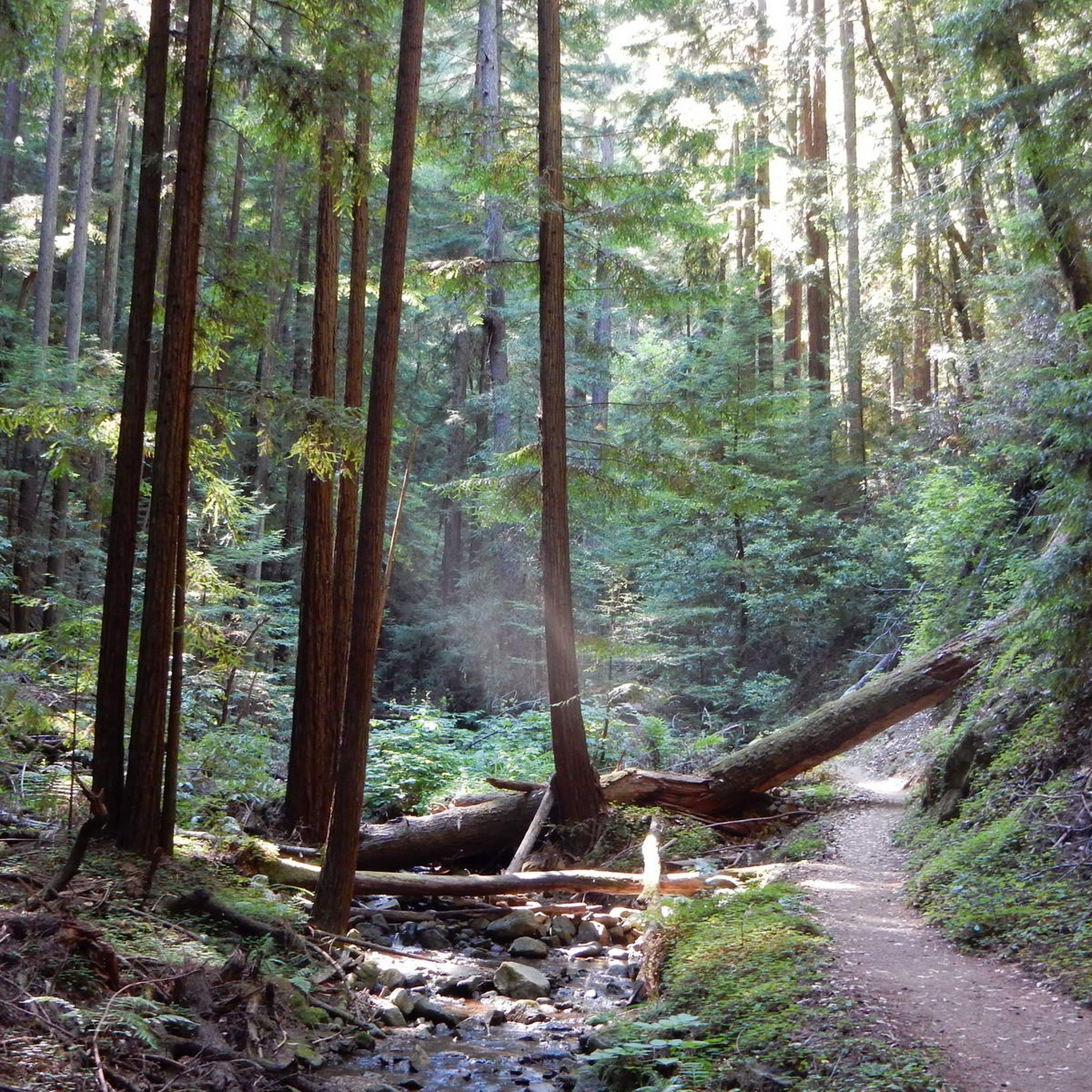
Hiking in the Santa Cruz Mountains
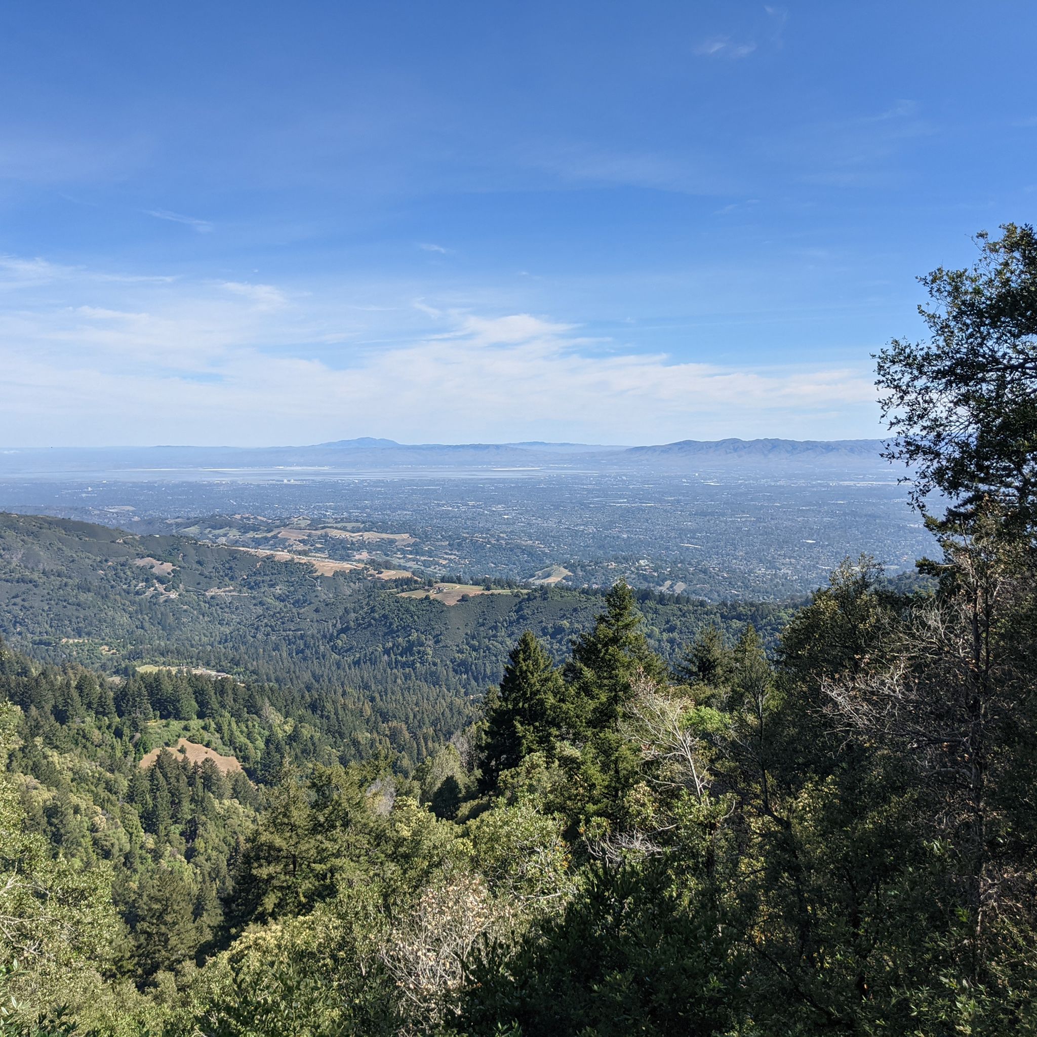
MTB Trails in the Santa Cruz Mountains
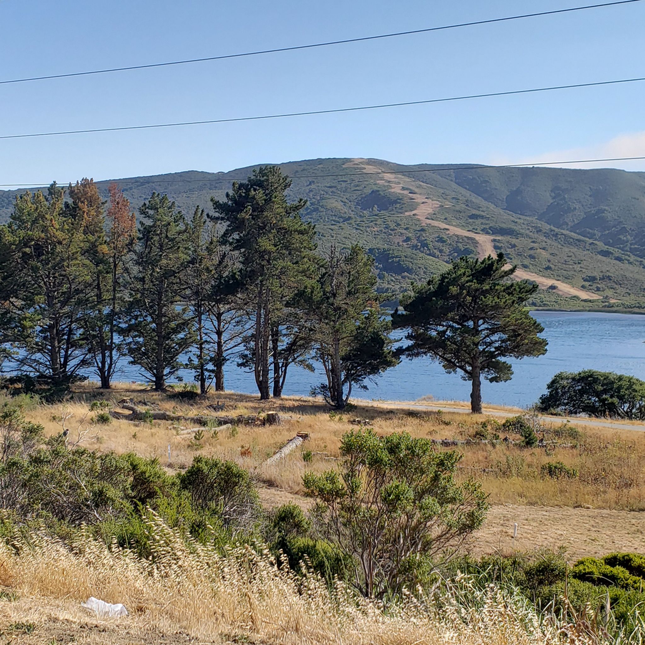
Running Trails in the Santa Cruz Mountains
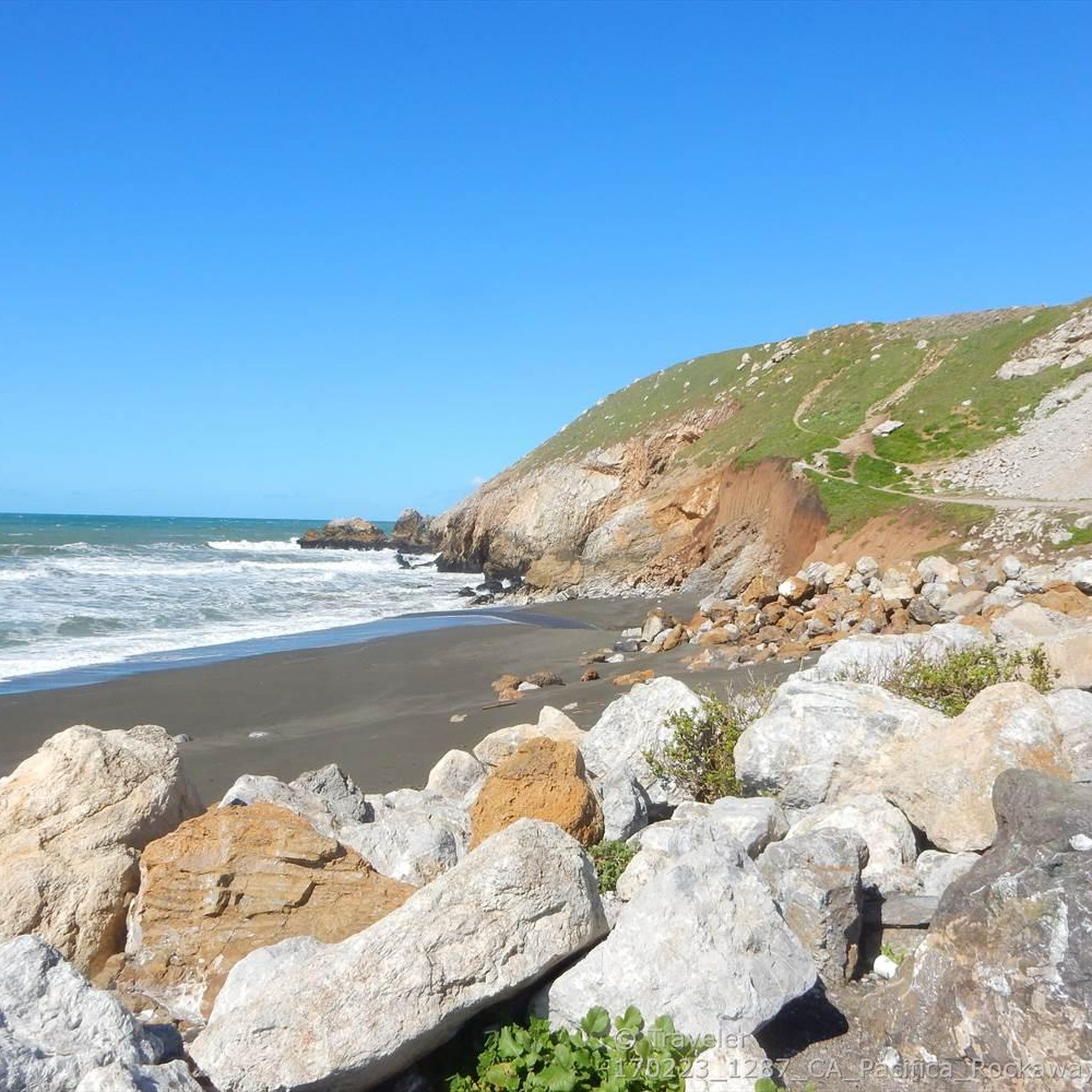
Cycling in the Santa Cruz Mountains
Gravel biking in the Santa Cruz Mountains
Other adventures in the Santa Cruz Mountains


Tips from the Community

Alise’s Restaurant is a popular spot for both cyclists and motorcyclists. The food is good, the staff is known for being friendly, and the place has a laid-back, welcoming vibe—perfect for a post-ride meal or coffee break.
1
0

San Andreas Lake is a hidden gem tucked into the hills of San Mateo County, just south of San Francisco. Originally a natural sag pond formed by the San Andreas Fault, it was transformed into a reservoir in the late 1800s and now serves as a vital water source for the region. The lake is off-limits for swimming or boating, but you can enjoy its peaceful beauty from the San Andreas Trail or the popular Sawyer Camp Trail, which runs along its eastern edge. It's a serene spot where you can walk or bike with sweeping views of the water and surrounding hills, all while standing right on one of the world’s most famous fault lines. Despite its proximity to urban life, San Andreas Lake offers a quiet, scenic escape steeped in natural and historical significance.
1
0

The Bike Hut is a small hut with fresh water, organic teas and coffee and a variety of snacks for cyclist passing by. It is self-serve and open 24/7. There is also a small picnic area, a bathroom and a message board for posting road conditions or notes to fellow cyclists.
0
0

Devils slide itself is nice and just to the south is the beautiful Gray Whales Cove beach. There is plenty of parking at both places. Two notes for cyclist: 1. cycling along Hwy 1, coming from Pacifica, requires climbing on a relatively narrow but highly frequented road. It is not a long climb until the turnoff to Devils slide, but it might be stressful for cyclists who are not used to riding in heavy traffic. Hwy 1 south of Devils slide has enough space for everyone. 2. If you cycle on Hwy1, then check the wind forecast beforehand. Dominant wind direction is NW, which means cycling southbound maximizes tailwind and minimizes breathing in all the air pollution from stinky cars.
0
0
Didn’t OLR used to turn into Dirt before reaching Skyline? Is it all pavement now?? Scott
0
0


Stevens Creek Reservoir spans 87 acres and is surrounded by a 1,063-acre park. Visitors can enjoy hiking, horseback riding, picnicking, and limited fishing. Seasonal boating for low-power boats is available from mid-April to mid-October. The park is open daily from 8 a.m. to sunset, with vehicle entry fees collected year-round at the Chestnut Parking Lot. Visitors can explore natural beauty and historic remnants like the Villa Maria orchard.
1
0
Here is the entrance to Uvas Canyon County Park. The park has several small falls surrounded by forest, walking less than a mile in, you’ll find a waterfall. Here you can find water fountains, restrooms and a campground. This is the perfect place to end or start your ride.
0
0
Frequently Asked Questions
How many road cycling routes are available in the Santa Cruz Mountains?
There are over 350 road cycling routes available in the Santa Cruz Mountains, catering to various skill levels. These routes traverse diverse landscapes, from towering redwoods to coastal vistas.
Are there challenging road cycling routes in the Santa Cruz Mountains?
Yes, the Santa Cruz Mountains are well-known for their challenging climbs and significant elevation gains. Routes like the Pescadero Creek Road loop and Alpine Road Loop offer substantial ascents, with some routes featuring over 1,800 meters of climbing. Experienced riders often seek out climbs such as Empire Grade and Mount Umunhum Road for a demanding workout.
What are some good road cycling routes for beginners or those looking for an easier ride?
While many routes feature climbs, there are options for less strenuous rides. The Stevens Creek Country Park loop from Bollinger Road & Johnson Avenue is a moderate option with less elevation gain. For a very flat and scenic experience, West Cliff Drive in Santa Cruz offers breathtaking ocean views without significant climbs.
What natural features or landmarks can I expect to see while road cycling in the Santa Cruz Mountains?
The Santa Cruz Mountains boast a rich array of natural features. You can cycle through magnificent coastal redwoods, especially in areas near Henry Cowell Redwoods State Park, and enjoy stunning coastal views along routes that hug the Pacific Ocean. Notable landmarks include Black Mountain and Mount Umunhum Road (climb), offering expansive vistas. You might also encounter unique geological formations like the Tafoni Sandstone Formation.
Are there any loop road cycling routes in the Santa Cruz Mountains?
Yes, many road cycling routes in the Santa Cruz Mountains are designed as loops, providing varied scenery without retracing your path. Popular loop options include the Old La Honda Road loop, known for its redwood groves, and the Tunitas Creek Road Loop, which offers diverse terrain.
What is the best time of year to go road cycling in the Santa Cruz Mountains?
The Santa Cruz Mountains generally offer good road cycling conditions year-round due to their Mediterranean climate. Spring and fall are particularly pleasant, with mild temperatures and vibrant landscapes. Winter can bring rain, but many days remain clear and cool, making it suitable for cycling. Summer can be warm, especially on inland climbs, but coastal areas often benefit from ocean breezes.
Are there road cycling routes that pass by cafes or amenities?
While specific routes are not always designed around cafes, many towns and communities within or bordering the Santa Cruz Mountains offer amenities. Routes that pass through or near towns like Pescadero, Felton, or Santa Cruz itself will provide opportunities for refreshments and breaks. It's advisable to plan your route and check for services in advance.
What do other road cyclists enjoy most about road cycling in the Santa Cruz Mountains?
The area is highly rated by the komoot community, with an average score of 4.6 stars from over 230 reviews. Reviewers often praise the region's stunning natural beauty, particularly the towering redwood forests and dramatic coastal views. The variety of routes, from challenging mountain climbs to scenic coastal paths, also receives high marks, offering something for every type of road cyclist.
Are there any road cycling routes that offer views of reservoirs or lakes?
Yes, some routes in the Santa Cruz Mountains region provide scenic views of reservoirs. For instance, the Uvas and Chesbro Reservoirs loop from Gilroy offers picturesque views of these water bodies. You might also encounter San Andreas Lake on routes in the northern part of the range.
Can I find road cycling routes that explore different types of forests?
Absolutely. The Santa Cruz Mountains are known for their diverse forests. Beyond the iconic redwoods, you'll cycle through areas with coastal live oak, Douglas-fir, big leaf maple, and California bay laurel. Many valleys and ocean-facing slopes are considered temperate rainforests, offering a lush and varied cycling experience.
Are there any routes that connect different county parks?
Yes, some routes are designed to link various parks, allowing for longer, more exploratory rides. The Calero County Park to Uvas Canyon County Park loop is a great example, offering a moderate ride through different park landscapes.
What is the typical duration for road cycling routes in the Santa Cruz Mountains?
Route durations vary significantly based on distance and elevation. Shorter, moderate routes like the Old La Honda Road loop can take around 2 hours, while longer, more difficult routes such as the Eureka Canyon Loop or Pescadero loop from Redwood City can extend to 5-6 hours or more, depending on your pace and stops.
Most popular routes in the Santa Cruz Mountains
Most popular attractions in the Santa Cruz Mountains

Get inspired with the komoot mobile app


Explore more
Browse the best Road cycling routes in other regions.
