The best walks and hikes around Sankt Veit im Pongau
4.5
(19025)
95,026
hikers
85
hikes
Hiking around Sankt Veit im Pongau offers diverse landscapes within the Salzburg Alps, characterized by majestic mountains and picturesque valleys. The region features varied terrain, from accessible paths to challenging ridge hikes with significant elevation gains. Hikers can explore numerous mountain peaks, including the Schuhflicker and Höllwand, which provide panoramic views over the surrounding landscape. The area also includes tranquil natural settings like the Seelackn Ponds and lush alpine pastures.
Best hiking trails around Sankt Veit im Pongau
- The most…
Last updated: September 28, 2026
4.6
(26)
182
hikers
Moderate hike. Good fitness required. Mostly accessible paths. Sure-footedness required.
4.7
(27)
101
hikers
9.35km
03:12
470m
460m
Moderate hike. Good fitness required. Mostly accessible paths. Sure-footedness required.

4.6
(21)
81
hikers
13.0km
04:47
710m
710m
Moderate hike. Good fitness required. Mostly accessible paths. Sure-footedness required.
4.8
(27)
93
hikers
10.7km
04:43
700m
700m
Moderate hike. Good fitness required. Mostly accessible paths. Sure-footedness required.
4.1
(13)
150
hikers
Easy hike. Great for any fitness level. Easily-accessible paths. Suitable for all skill levels.
Get access to more routes and recommendations from other explorers.
Already have an account?
Our route recommendations are based on thousands of hikes, rides, and runs completed by other people on komoot.
Start today with a free account
Your next adventure awaits.
Popular around Sankt Veit im Pongau
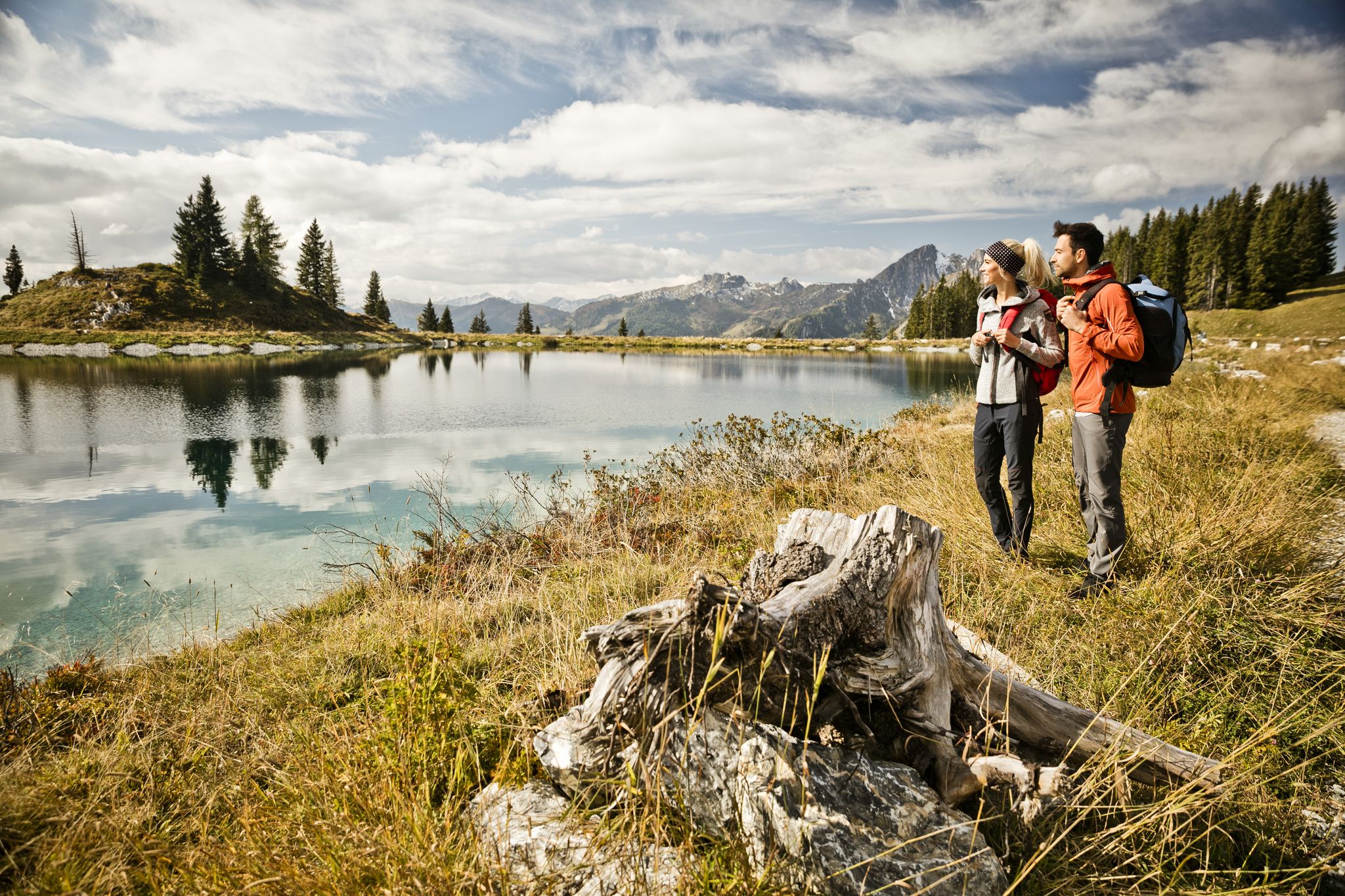
11 beautiful walks around St. Johann in Salzburg in Austria
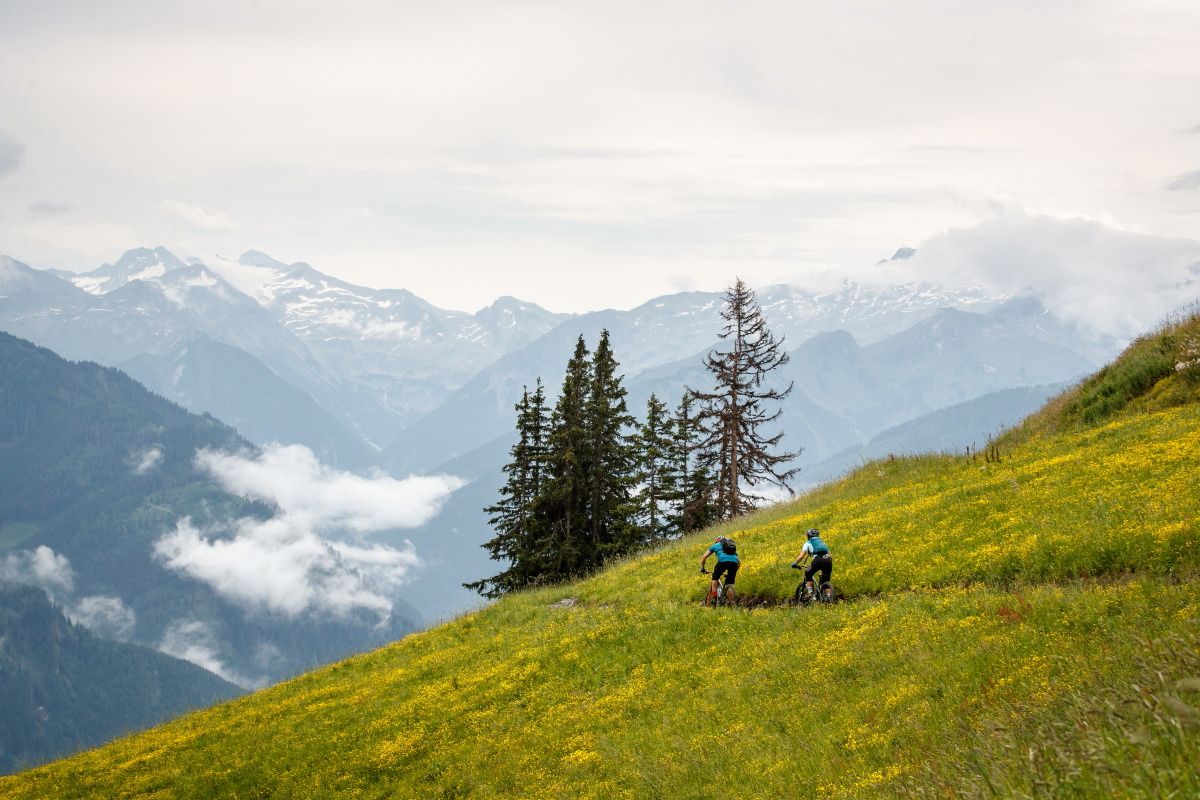
Seven unforgettable MTB and hiking Tours in Großarltal
Cycling around Sankt Veit im Pongau
Road Cycling Routes around Sankt Veit im Pongau
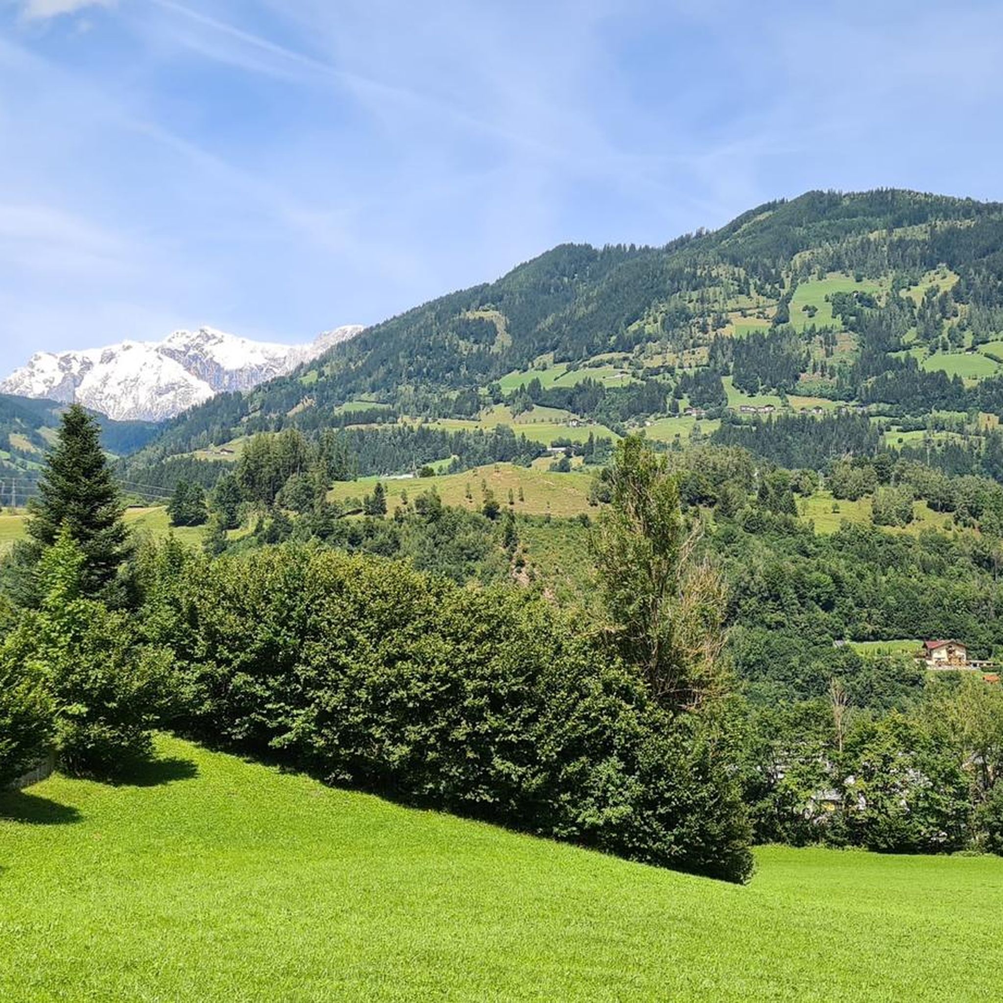
MTB Trails around Sankt Veit im Pongau
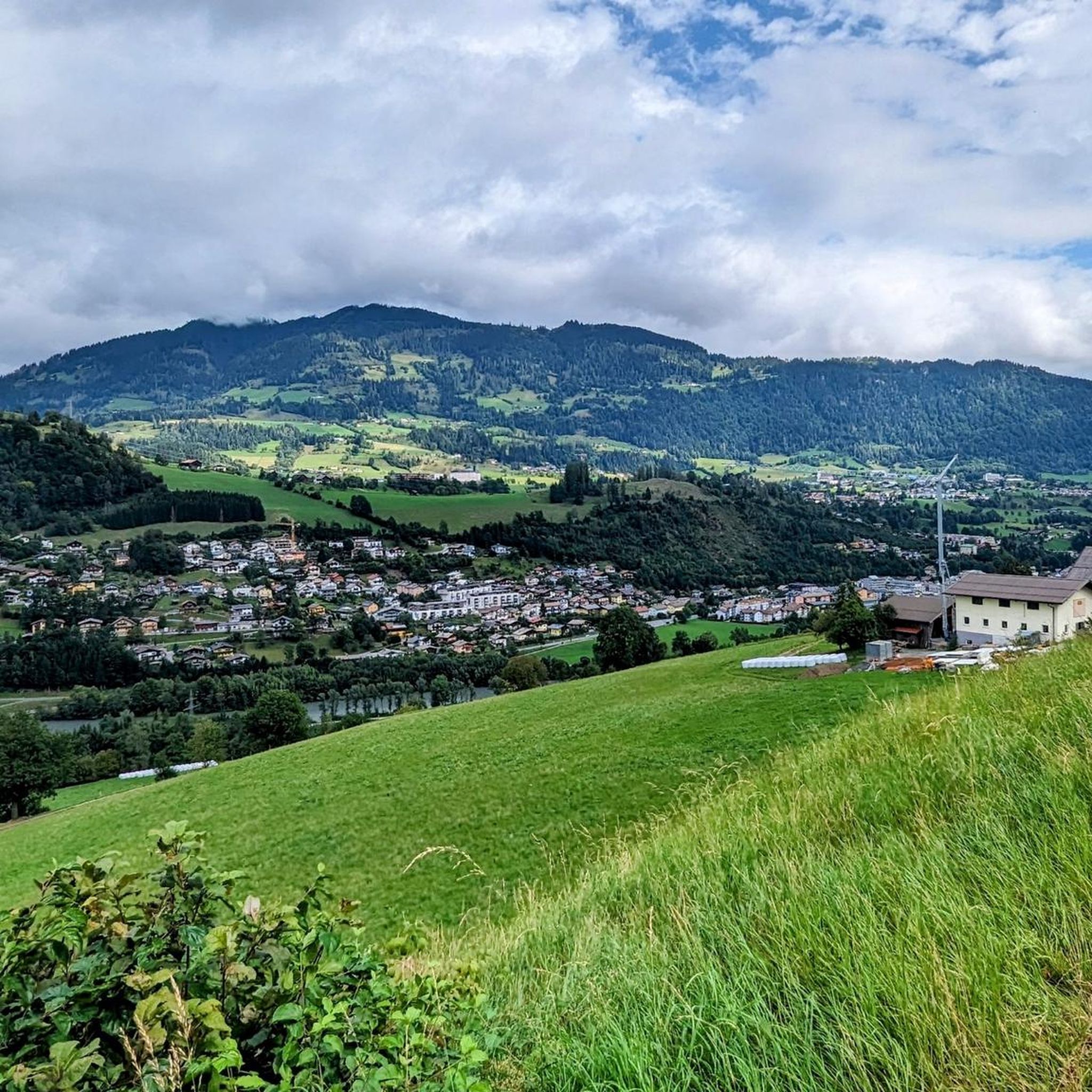
Running Trails around Sankt Veit im Pongau
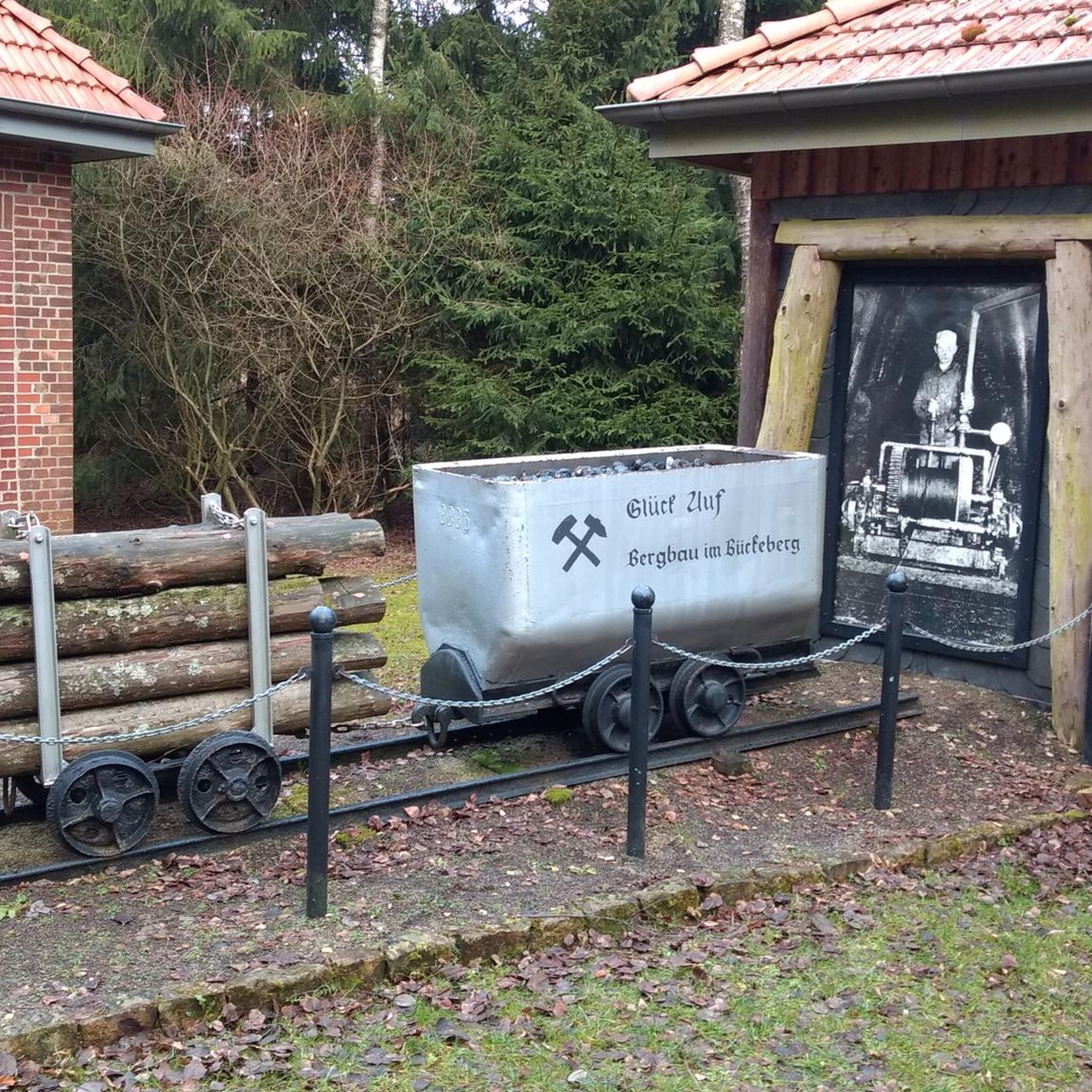
Gravel biking around Sankt Veit im Pongau
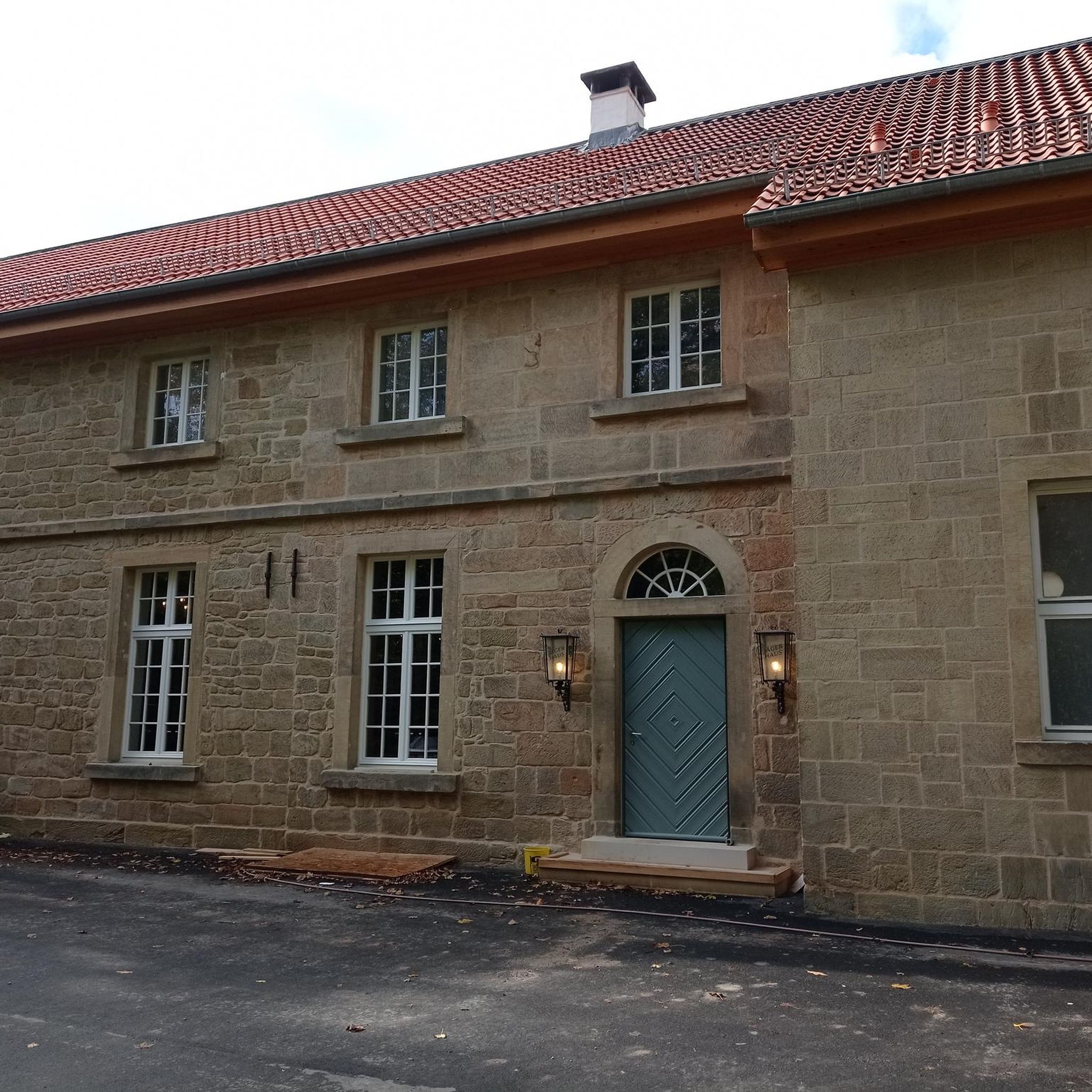
Mountain Hikes around Sankt Veit im Pongau


Tips from the Community

Located 30 meters below the Karbachbahn mountain station with a great panoramic view of the Hochkönig.
1
0


View of the Hochkönig
0
0

Seelackenmuseum, originally a farm
1
0

Hubertus Chapel and Alpaca Family
0
0

Great hike, varied panorama, dog-friendly, shady forest paths, surefootedness required
0
0


Great views in good weather. If it rains or snows, bring a change of clothes.
2
0
Frequently Asked Questions
How many hiking trails are available in Sankt Veit im Pongau?
Sankt Veit im Pongau offers a wide network of trails, with over 80 hiking routes to explore. These range from easy walks to challenging mountain ascents, catering to all skill levels.
What do other hikers enjoy most about the trails in Sankt Veit im Pongau?
The hiking trails in Sankt Veit im Pongau are highly rated by the komoot community, with an average score of 4.5 stars from over 1900 reviews. Hikers frequently praise the breathtaking alpine scenery, the diverse terrain, and the panoramic views from mountain peaks like the Schuhflicker and Hochkönig massif.
Are there easy hikes suitable for families or beginners?
Yes, Sankt Veit im Pongau has 23 easy hiking routes perfect for leisurely walks and family outings. Options include tranquil loop hikes around the Seelackn Ponds or the Karin Mine Tunnel – Traveling Water loop, which are suitable for all fitness levels and kid-friendly.
What kind of challenging hikes can I find in Sankt Veit im Pongau?
For experienced hikers, there are 15 difficult mountain tours and ridge hikes. These often require sure-footedness and alpine experience. Notable challenging routes include the Schuhflicker summit round, scenic routes to Höllwand and Heukareck, and the lovely summit route over the Schneeberg to the Gamskögerl, all offering significant elevation gains and spectacular views.
Are there any circular hiking routes in the area?
Yes, many trails in Sankt Veit im Pongau are designed as circular routes, allowing you to start and end at the same point. Examples include easy loops around the Seelackn Ponds and more demanding summit loops like the Hochglocker summit – Wooden Heart Near the Summit loop from Sankt Veit im Pongau.
What natural features can I expect to see while hiking?
Hikers in Sankt Veit im Pongau will encounter diverse natural beauty, including majestic mountains of the Salzburg Alps, picturesque valleys like Großarl, and lush alpine pastures such as Aualm and Pronebenalm. You can also find tranquil natural settings like the Seelackn Ponds and areas rich in flora and fauna, especially on routes leading to peaks like the Gamskögerl.
Are there any notable landmarks or attractions along the hiking trails?
Yes, the region boasts several impressive natural landmarks. You can explore the dramatic Liechtensteinklamm Gorge or the Kitzlochklamm Gorge. For stunning views, consider routes that pass by the Schuhflicker Peak or offer views of the Summit Cross Hochkönig.
Are there mountain huts or places to stop for refreshments along the trails?
Yes, many hiking routes in Sankt Veit im Pongau lead to cozy alpine pastures and mountain huts where you can stop for refreshments. Popular options include the Aualm and the Bürglalm, offering a chance to rest and enjoy local hospitality amidst stunning scenery.
Can I bring my dog on the hiking trails in Sankt Veit im Pongau?
Many trails in Sankt Veit im Pongau are dog-friendly, allowing you to enjoy the alpine scenery with your canine companion. However, it's always advisable to keep dogs on a leash, especially in areas with livestock or wildlife, and to check specific trail regulations beforehand.
Are there good viewpoints along the hiking routes?
Absolutely. The region is renowned for its panoramic views. Many mountain hikes lead to summits such as Schuhflicker, Höllwand, Heukareck, Schneeberg, and Gamskögerl, all promising spectacular vistas over the surrounding mountain landscape and valleys. From elevated points, you can also enjoy views of the majestic Hochkönig massif, for example, on the View of the Hochkönig – View of the Hochkönig Massif loop from Althaus.
Is it possible to reach hiking trailheads using public transport?
While specific public transport connections to every trailhead may vary, Sankt Veit im Pongau is part of the Salzburger Sportwelt region, which generally offers good connectivity. It's recommended to check local bus schedules or regional transport options for access to specific starting points before your hike.
Are there any hikes that pass through valleys or to alpine pastures?
Yes, many routes traverse picturesque valleys and lead to charming alpine pastures. For instance, the Hochglocker summit – Proneben Alm loop from Sankt Veit im Pongau is an excellent example, leading through valleys and towards the cozy Proneben Alm, offering a blend of natural beauty and opportunities for refreshment.
Most popular routes around Sankt Veit im Pongau
Most popular attractions around Sankt Veit im Pongau

Get inspired with the komoot mobile app


Explore more
Browse the best Hikes in other regions.
