The best walks and hikes around Sankt Michael in Obersteiermark
4.7
(1296)
9,317
hikers
15
hikes
Hiking around Sankt Michael in Obersteiermark offers diverse landscapes within the Eastern Alps foothills, situated at 596 meters above sea level where the Liesing river meets the Mur. The region features a mix of challenging mountain trails, accessible paths through green forests, and scenic river valleys. Prominent natural features include the Mugel summit, offering panoramic views, and extensive ancient rock alpine pastures in the Gleinalm area. This varied terrain provides opportunities for different hiking levels, from gentle strolls to demanding…
Last updated: June 27, 2026
4.4
(5)
19
hikers
7.33km
02:23
260m
260m
Moderate hike. Good fitness required. Mostly accessible paths. Sure-footedness required.
5.0
(2)
19
hikers
Hard hike. Great for any fitness level. Sure-footedness, sturdy shoes and alpine experience required.

Sign up for free
4.9
(7)
14
hikers
5.93km
01:54
220m
220m
Moderate hike. Great for any fitness level. Mostly accessible paths. Sure-footedness required.
4.3
(6)
9
hikers
17.0km
05:28
600m
600m
Hard hike. Very good fitness required. Mostly accessible paths. Sure-footedness required.
10
hikers
Moderate hike. Good fitness required. Mostly accessible paths. Sure-footedness required.
Get access to more routes and recommendations from other explorers.
Sign up for free
Already have an account?
Our route recommendations are based on thousands of hikes, rides, and runs completed by other people on komoot.
Start today with a free account
Your next adventure awaits.
Login or Signup
Popular around Sankt Michael in Obersteiermark
Cycling around Sankt Michael in Obersteiermark
Road Cycling Routes around Sankt Michael in Obersteiermark
Running Trails around Sankt Michael in Obersteiermark
MTB Trails around Sankt Michael in Obersteiermark
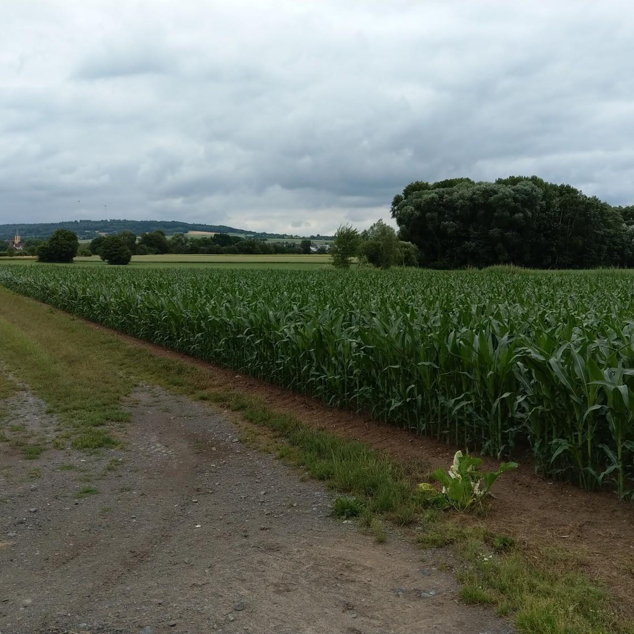
Mountain Hikes around Sankt Michael in Obersteiermark

Gravel biking around Sankt Michael in Obersteiermark
Tips from the Community

The Trabocher See lake invites you for a great relaxation! There is a cozy sunbathing lawn, a pedal boat rental, and for the hunger afterwards, the "Seeschenke" (lake tavern) is right on site. Perfect for a short break during the tour! 🏊♂️☀️
0
0
Pleasant to walk from Trofaiach to the lake
0
0


Nice restaurant with friendly staff
0
0

Military cemetery with memorials A relic from the time of the First World War is the military cemetery, which is located at the foot of the Annaberg. On August 18, 1915, it was built for the deceased soldiers after the first death in the hospital. By the end of the war in 1918, a total of 410 dead from various countries of the monarchy had been buried there. Most of the names are known, only in the last days of the war were two mass graves dug in which unknown soldiers were buried. The military cemetery was redesigned for the first time in 1930. Up until this point, there were also white crosses of deceased Italian soldiers near the graves. However, these were exhumed and then buried in Graz. The military cemetery was redesigned several times in later years. For example, symbolic graves were created for members of the parish of St. Michael who died in the Second World War. In one of the cemetery's crypts there are numerous human bones that were discovered during the construction of the road near Walpurgis Church and mostly date from the battle of 1809. These human remains were transferred to the military cemetery on May 25, 1935 and buried in this crypt. Above this tomb there is a memorial stone for those who died in this battle. It consists of a granite stone with an iron ball, an eagle and the inscription "1809". Until 1943 there was another memorial in the military cemetery, but it was a thorn in the side of the Nazis and was therefore removed. This war memorial, created by the "one-year volunteer" Reitinger - a member of the reserve hospital - with the inscription "In honor of the warriors" was inaugurated on November 7, 1915. In 1959, a new memorial for those who died in the two world wars was erected in the military cemetery to replace the destroyed monument.
0
0
Bracher Kreuz - is a so-called field cross
0
0
History of the Annaberg Memorial: During the First World War, there was a military hospital in St. Michael, where wounded soldiers from all parts of the Austro-Hungarian Empire and wounded prisoners of war were cared for. Those who died in the hospital were buried in the "soldiers' cemetery" that still exists today. The Annaberg Memorial was erected by recovered soldiers - especially prisoners of war - between 1916 and 1917. As a "war memorial", it was intended to commemorate "Dear Fatherland's great times" - as the inscription on the memorial reads. The monument has a base area of 8 by 4 meters, a height of 26 meters and is therefore a widely visible symbol of that era. The inscriptions testify to the spirit of that time. On the east side it reads: "Built in 1916 through the willingness to make sacrifices and the hard work of the Res. Spit. under the hospital commandant Dr. Albert Pakh k. Hungarian Honved Staff Doctor by the academic painter and sculptor-architect Lst. E. F. Hans Reitinger, master mason Lst. Zgf. Karl Fuchs, as construction manager, sponsored by the municipality of St. Michael, district and city of Leoben and many friends of the Green Mark." On the west side, which faces the site of the former reserve hospital, there is a plaque under the motto "From the great times of our beloved fatherland": "In memory of the Austro-Hungarian Reserve Hospital St. Michael, which, attached to the glorious 10th Army, was built down there for the benefit and piety of our heroes."
0
0
Frequently Asked Questions
How many hiking trails are available in Sankt Michael in Obersteiermark?
Sankt Michael in Obersteiermark offers a diverse network of over 15 hiking trails. These routes cater to various fitness levels, ranging from easy strolls through river valleys to more demanding mountain ascents in the Eastern Alps foothills.
What kind of terrain can I expect on hikes around Sankt Michael in Obersteiermark?
The region features varied terrain, from gentle paths along the Liesing and Mur rivers to challenging ascents in the Alpine foothills. You'll encounter green forests, picturesque river valleys, and extensive ancient rock alpine pastures in areas like the Gleinalm. The landscape is defined by its position at the confluence of two rivers and the surrounding Eastern Alps.
What do other hikers enjoy most about the trails in Sankt Michael in Obersteiermark?
The hiking routes in Sankt Michael in Obersteiermark are highly rated by the komoot community, with an average score of 4.6 stars from over 740 reviews. Hikers often praise the diverse landscapes, the well-maintained paths, and the stunning panoramic views from higher elevations like the Mugel summit.
Are there easy hiking trails suitable for beginners or casual walkers?
Yes, there are several easy hiking trails perfect for beginners or those looking for a relaxed walk. For example, the Billionen Restaurant – Trabocher See loop from Sankt Michael in Obersteiermark is a moderate route that offers a pleasant experience without significant elevation gain. There are 3 easy routes in total.
Are there challenging mountain hikes for experienced hikers?
Absolutely. For experienced hikers seeking a challenge, routes like the Bracher Kreuz – Schillerkreuz Viewpoint loop from St. Michael offer significant elevation gain and require good fitness. The region's Alpine foothills provide plenty of opportunities for strenuous ascents and rewarding views.
Are there any circular hiking routes in Sankt Michael in Obersteiermark?
Yes, many routes in the area are designed as loops, allowing you to start and end at the same point. Examples include the historical Annaberg Memorial – World War I Soldiers' Cemetery loop from Sankt Michael in Obersteiermark and the scenic Walpurgis Church, St. Michael loop from St. Michael.
Are there family-friendly hiking options in the area?
Yes, Sankt Michael in Obersteiermark offers several family-friendly hiking options. Many of the easier, shorter loops through forests and along river valleys are suitable for families with children. These trails often have less elevation gain and provide a pleasant outdoor experience for all ages.
Can I bring my dog on the hiking trails?
Generally, dogs are welcome on hiking trails in Sankt Michael in Obersteiermark. However, it's always recommended to keep your dog on a leash, especially in areas with livestock or wildlife, and to clean up after them. Specific rules might apply in certain protected areas, so always look out for local signage.
What natural landmarks or viewpoints can I see while hiking?
The region is rich in natural landmarks and offers stunning viewpoints. The Mugel Summit is a prominent feature, providing panoramic views of the Mur valley, Eastern Styria, and various mountain ranges. Other notable points include the Speikkogel Summit Cross and the ancient rock alpine pastures of the Gleinalm area.
Are there mountain huts or places to rest along the hiking trails?
Yes, the area features several mountain huts that provide excellent resting points, refreshments, and even overnight stays for hikers. Notable huts include the Mugel Mountain Hut, the Gleinalm Schutzhaus, and the Plotscherbauer Alpine Hut. These huts are often strategically located on popular routes.
Is there public transport access to hiking trailheads?
Sankt Michael in Obersteiermark is well-connected, and some trailheads may be accessible via local bus services. However, for many routes, especially those leading into higher elevations or more remote areas, personal transport or a short taxi ride might be necessary to reach the starting points. It's advisable to check local transport schedules for specific routes.
Where can I find parking for hiking trails?
Many popular trailheads in and around Sankt Michael in Obersteiermark offer designated parking areas. These are typically found at the start of well-known routes or near significant attractions. Specific parking information is often available on individual route descriptions or local tourist information boards.
What is the best time of year for hiking in Sankt Michael in Obersteiermark?
The best time for hiking is generally from late spring to early autumn (May to October), when the weather is mild, and trails are clear of snow. Summer offers lush green landscapes, while autumn provides vibrant foliage. For higher altitude routes, it's best to wait until late spring or early summer when snow has fully melted.
Most popular routes around Sankt Michael in Obersteiermark
Most popular attractions around Sankt Michael in Obersteiermark

Get inspired with the komoot mobile app


Explore more
Browse the best Hikes in other regions.
