The best walks and hikes around Ponte Di Legno
4.5
(1325)
11,177
hikers
163
hikes
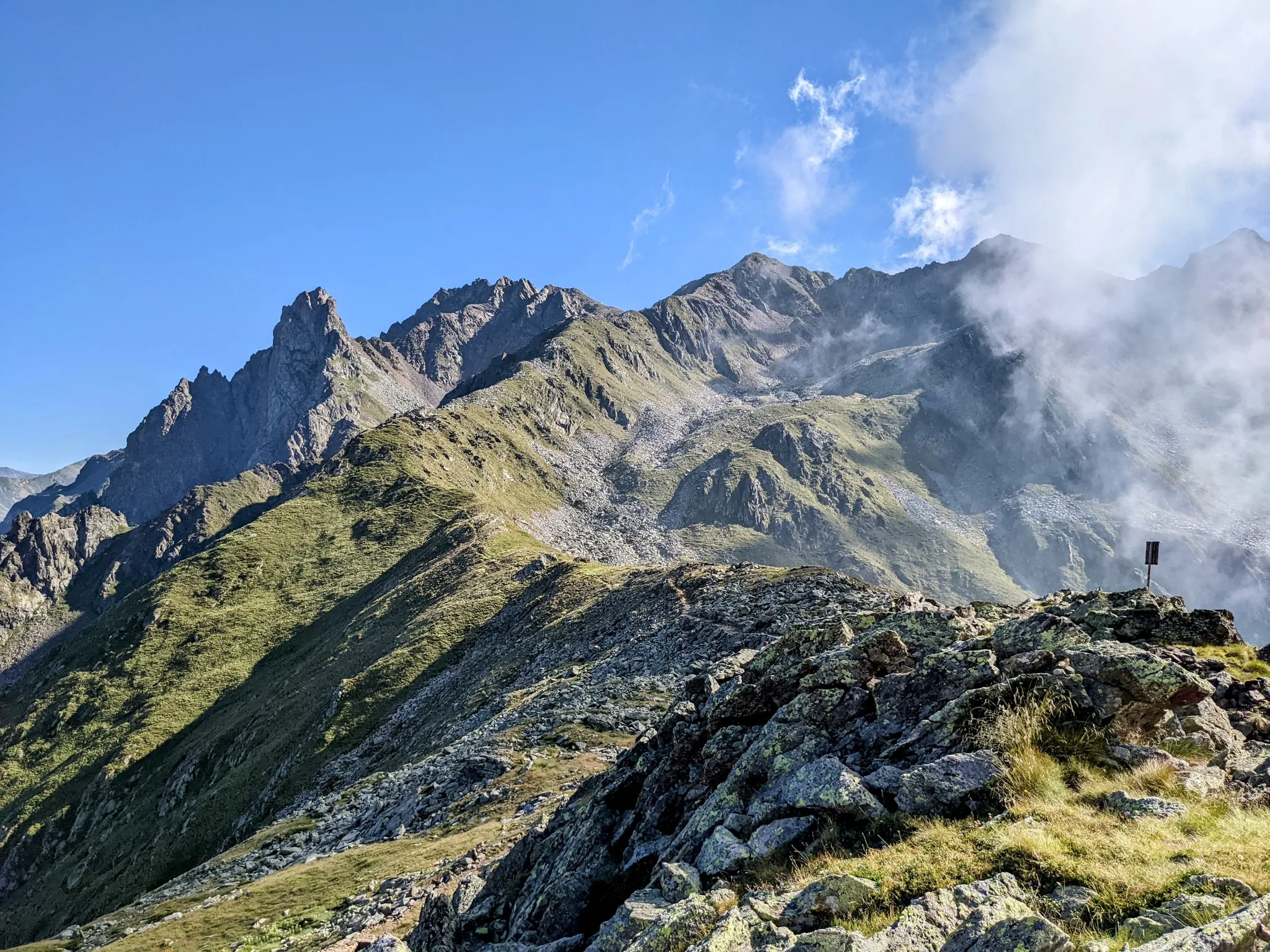
Hiking around Ponte Di Legno offers diverse terrain within the Adamello Natural Park and Stelvio National Park, characterized by high mountain ranges, extensive woods, and alpine lakes. The region, located in upper Lombardy, features peaks like the Adamello Presanella Mountain Range and the Ortles-Cevedale group, alongside picturesque valleys such as Val delle Messi. Numerous waterways, including the Oglio River, and varied rock formations contribute to the varied landscape for trekking.
Best hiking trails around Ponte Di Legno
- The most popular hiking route is Sentiero dei Fiori (Flower Trail), a 4.8 miles (7.7 km) trail that takes 3 hours 28 minutes to complete. This route is known for its spectacular via ferrata sections.
- Another top favourite among local hikers is CAI Trail 158 to Rifugio Valmalza, a moderate 8.1 miles (13.1 km) path. This trail leads through scenic alpine meadows and alongside clear streams.
- Local hikers also love the Historic WWI Mule Track to Rifugio Angelino Bozzi (CAI 152), a 6.1 miles (9.8 km) trail leading through the Ortles-Cevedale group, often completed in about 3 hours 48 minutes.
- Hiking around Ponte Di Legno is defined by high mountain peaks, extensive woods, and numerous alpine lakes. The network offers options for various ability levels, from gentle valley walks to challenging mountaineering routes.
- The routes in Ponte Di Legno are highly rated by the komoot community with an average score of 4.5 stars from over 1,100 reviews. More than 10,000 hikers have used komoot to explore Ponte Di Legno's varied terrain.
Last updated: August 17, 2026
4.7
(39)
688
hikers
7.69km
03:28
590m
590m
Hard hike. Good fitness required. Sure-footedness, sturdy shoes and alpine experience required.
4.8
(80)
561
hikers
13.1km
04:33
700m
700m
Embark on a moderate hike along CAI Trail 158, a rewarding journey into the heart of Valle delle Messi. This 8.1-mile (13.1 km) route guides you through diverse landscapes, gaining 2299 feet (701 metres) in elevation over approximately 4 hours and 33 minutes. You will follow a well-marked path, starting on a dirt road that winds past meadows and old farmsteads like Baite Silizzi. As you continue, the trail runs alongside the Oglio-Frigidolfo torrent, offering picturesque views of waterfalls and dense larch forests. In spring, you can witness vibrant rhododendrons in bloom, while autumn transforms the valley with striking orange larches. This trail promises a truly immersive experience in nature.
To begin your adventure, head to Santa Apollonia, where ample parking is available for hikers. The route is generally accessible, making it suitable for families, though if you plan to bring a trekking stroller, a sturdy one is recommended for the varied terrain. Be mindful that extending your hike beyond Rifugio Valmalza significantly increases the difficulty, requiring alpine experience and careful preparation. Always check local conditions before you set out.
This trail offers a unique opportunity to explore Stelvio National Park, showcasing its rich biodiversity and stunning natural beauty. The path's progression from open meadows to dense forests, punctuated by the sound of the torrent, highlights the valley's dynamic ecosystem. The presence of old farmsteads along the way also provides a glimpse into the historical human interaction with this alpine environment. It is a perfect choice for those seeking a balanced blend of natural beauty and physical activity within a protected landscape.

Sign up for free
4.7
(66)
505
hikers
9.77km
03:48
700m
700m
The Historic WWI Mule Track to Rifugio Angelino Bozzi (CAI 152) offers a moderate hike through the Conca del Montozzo valley. You'll follow a well-maintained path for 6.1 miles (9.8 km), gaining 2295 feet (699 metres) in elevation, which typically takes around 3 hours and 48 minutes. As you ascend, you'll pass through green meadows and rhododendrons, with glimpses of Lago di Viso below. The route provides a sense of immersion in the mountain landscape, leading you towards the welcoming Rifugio Angelino Bozzi.
To begin your hike, you can park your car at Case di Viso, which serves as the starting point for the CAI 152 trail. Alternatively, if you prefer a shorter walk, you have the option to drive further up to Pra del Rum. This area is also a pleasant spot for a break, offering picnic facilities and barbecue spots. Consider starting your hike in the morning to enjoy the cooler temperatures and have ample time to reach the refuge. Always check local conditions before heading out, especially regarding weather in the mountains.
This route is steeped in history, tracing an old military mule track used during World War I. As you hike, you'll encounter remnants of stone barracks, once housing Italian soldiers who guarded the Austrian border. The area was a significant stronghold for Alpine battalions, and some buildings have been restored into a museum, offering a glimpse into the past. The Rifugio Angelino Bozzi itself sits at the heart of several trail networks, including the famous Alta Via Camuna and Sentiero Italia, making it an excellent base for further exploration in the Ortles-Cevedale group.
4.7
(48)
364
hikers
14.2km
05:37
940m
940m
Hard hike. Very good fitness required. Mostly accessible paths. Sure-footedness required.
4.7
(56)
461
hikers
9.35km
03:40
700m
700m
Embark on a moderate hike from the charming Case di Viso Alpine Village to Rifugio Angelino Bozzi, a journey spanning 5.8 miles (9.3 km). As you ascend, you will gain 2298 feet (700 metres) in elevation, typically taking around 3 hours and 39 minutes to complete. The trail winds through diverse landscapes, where you might spot rhododendrons and catch glimpses of Lago di Viso. Higher up, panoramic views of the Ortles-Cevedale group and the Adamello-Presanella mountain range unfold, offering a rewarding experience.
Your hike begins in the picturesque alpine village of Case di Viso, where parking is usually available. The initial sections follow a relatively easy military mule track, providing a gentle start to your adventure. However, be prepared for more uneven and steep terrain as you get closer to the refuge, especially given the significant elevation gain. Planning for this varied terrain will ensure a smoother and more enjoyable experience.
This route in Stelvio National Park offers more than just scenic beauty; it also provides a glimpse into history. The area around Rifugio Angelino Bozzi is rich with World War I history, featuring restored trenches and military posts that tell stories of the past. Exploring these historical sites adds a unique cultural dimension to your outdoor excursion, making it a memorable journey through both nature and history.
Get access to more routes and recommendations from other explorers.
Sign up for free
Already have an account?
Our route recommendations are based on thousands of hikes, rides, and runs completed by other people on komoot.
Start today with a free account
Your next adventure awaits.
Login or Signup
Popular around Ponte Di Legno

L1 from Garmisch to Brescia – Far from the classic Alpine crossings

The Path of Peace – journey into Trentino's history
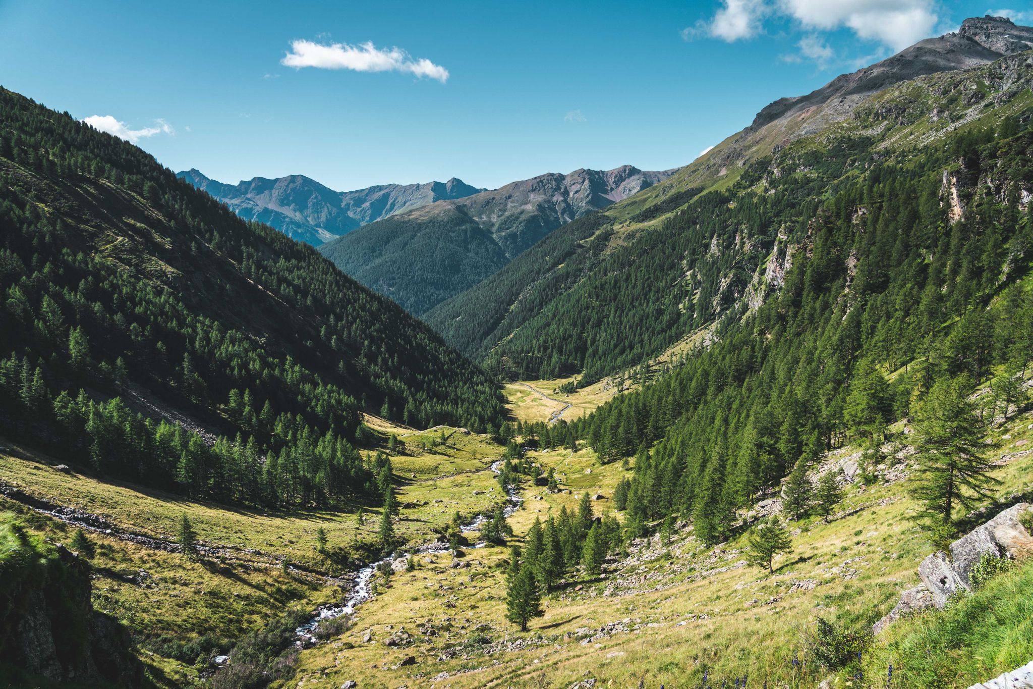
Trekking in Val di Sole – 7 day hikes at high altitude
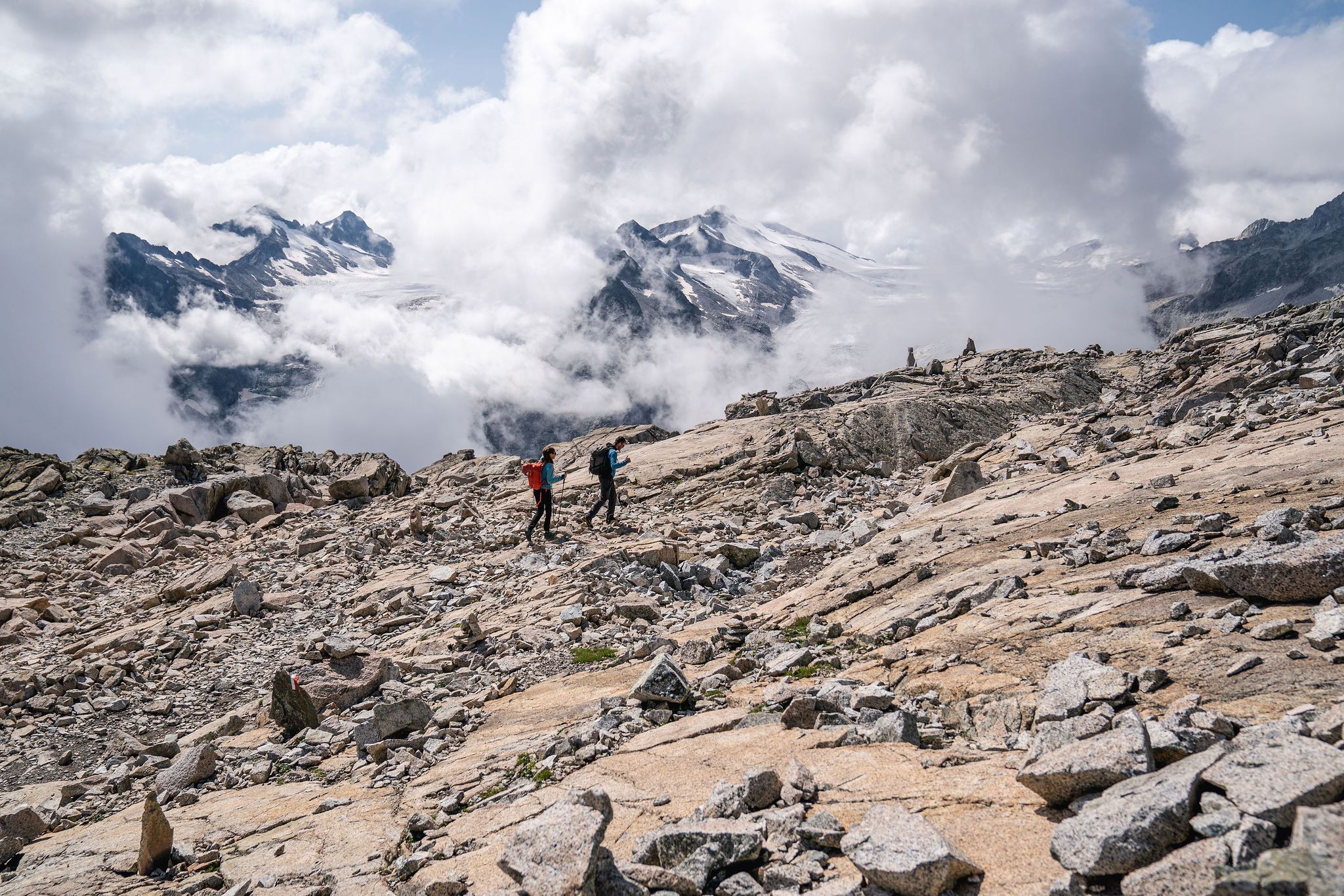
Epic adventures in Val di Sole – between glaciers and rock cathedrals
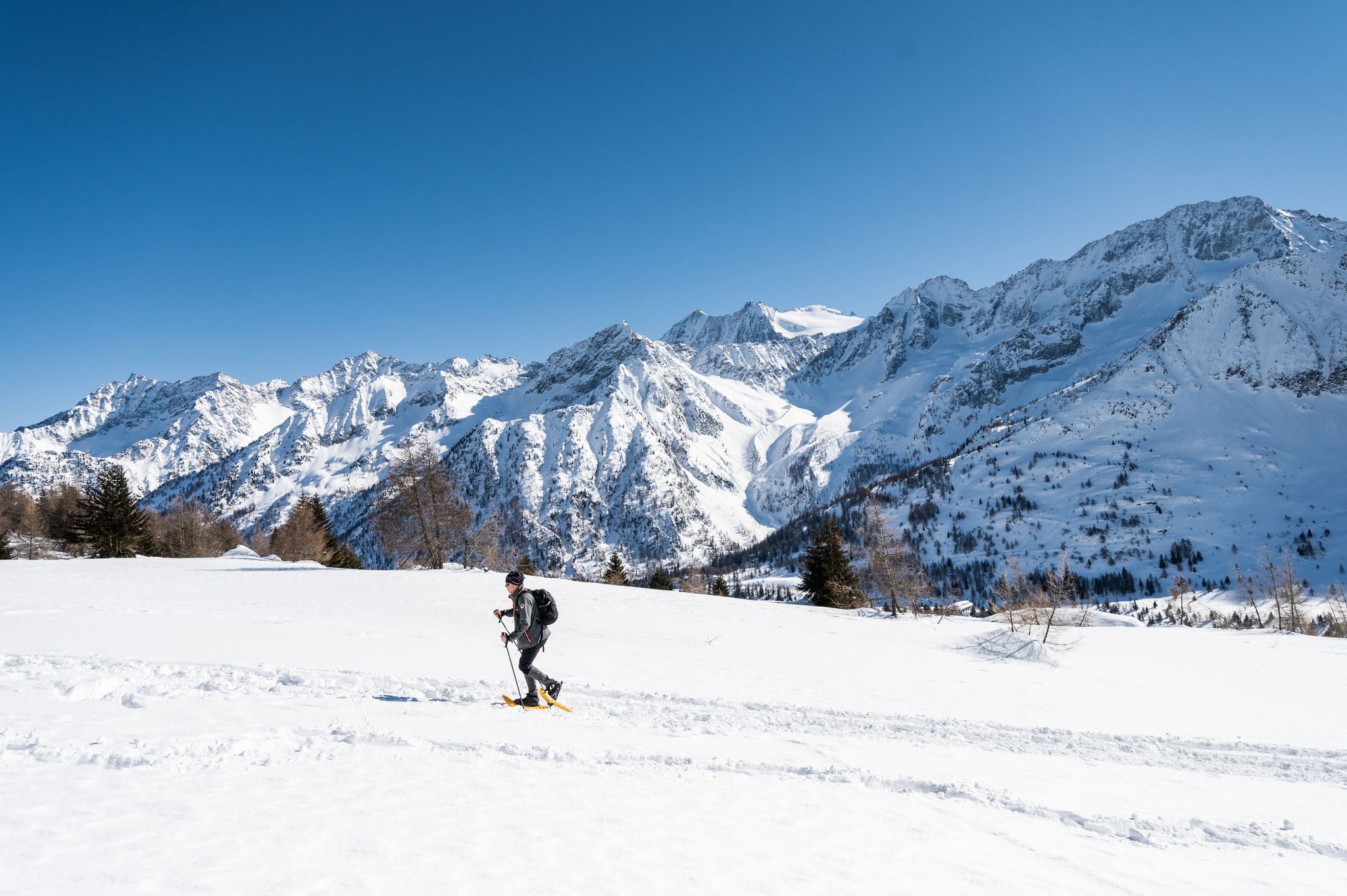
Ten snowshoe hikes in Italy’s Val di Sole

A journey through history and nature in Italy – Via Valeriana on foot

Peaks, rock carvings and mountain huts – hike Italy’s Val Camonica
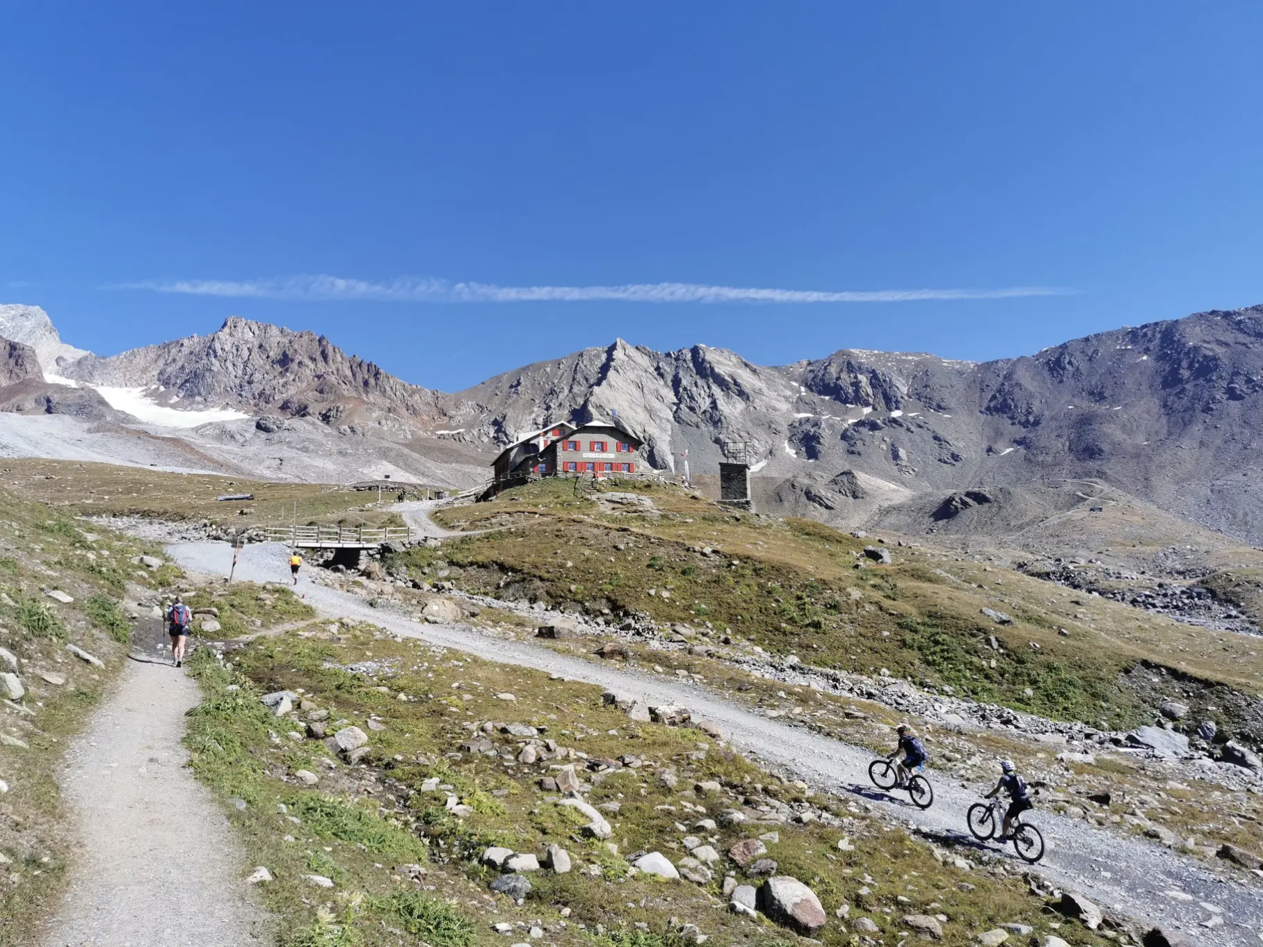
Around Ortler on high alpine trails in 7 stages
Between history and nature in Val Camonica – Adamello Ultra Trail
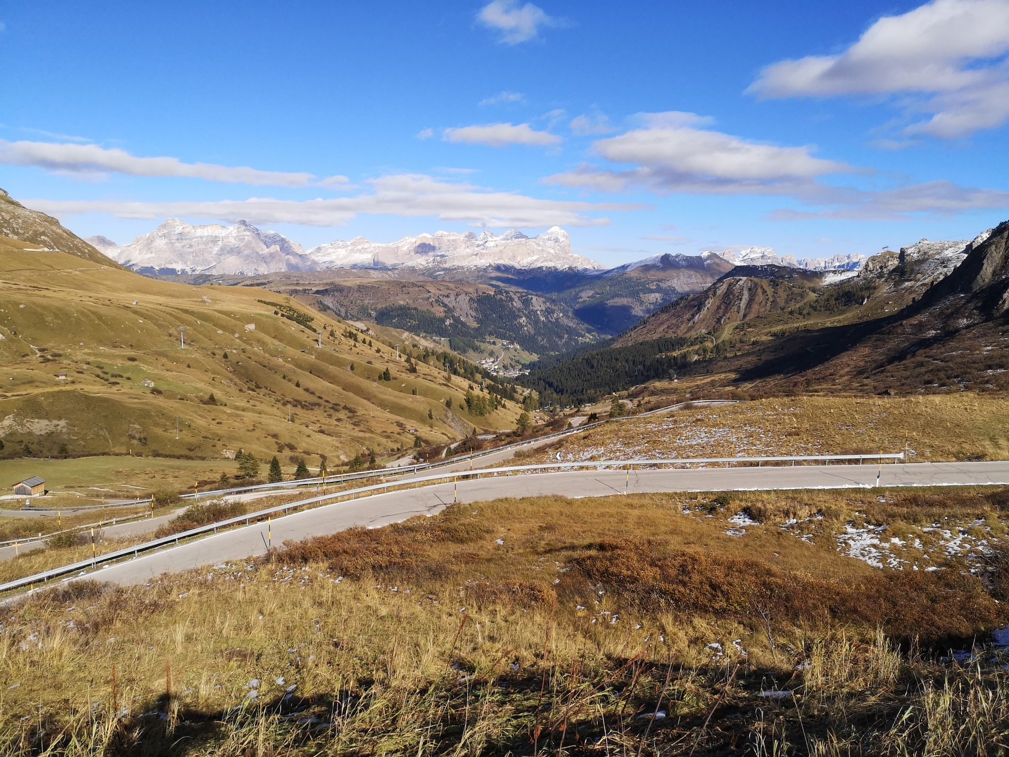
The great passes of the Giro d'Italia – 10 historic climbs
Other adventures around Ponte Di Legno


Tips from the Community

3,000 m altitude. it is recommended to always have clothing suitable for any weather
0
0

Before the conflict, there was a checkpoint of the Royal Guardia di Finanza here along the border with Austria, which was very close then.
0
0

I ate at the refuge and was able to recharge there. Funnily enough, I asked a hiker for directions, who sent me toward Dimaro via the Passo de Contrabandierie, saying, "Quite steep but possible." I cursed the guy at least 1,000 times on the climb. 27 kg bike, 15 kg bag. It wasn't fun, more like a near-death experience. The only way to get there was with the bike lying on the bag. Dangerous: 6/10 Was it a thrill? Damn it, and I'll take the wrong path again.
1
0

The Presena pass reaches 3,000 meters above sea level and is located in the heart of the Presanella group. Here your eyes are enchanted by the amphitheater of gray peaks colored only by the white of the snow without any hint of vegetation. The pass can be reached either by cable car or on foot, in summer, following the SAT 209 trail sign.
6
0
Passo Paradiso is easily reachable with the facilities of the Adamello ski area, both in winter and summer. To get here, in the season when the green meadows color the mountain slopes, you can, in fact, take advantage of the Paradiso cable car. Here, a magnificent view of the reliefs of the Presena glacier surrounds you. You can set off for beautiful walks and on your return you can refresh yourself at the refuge of the same name not far from the cable car arrival point.
4
0
The Lagoscuro pass is located at over 2,900 meters above sea level among the magnificent reliefs of the Adamello - Presanella group. In this place during the First World War there was a real military village, today there are still many remains that we can find. There is also a bivouac here.
3
0

At the Presena pass, you find an altitude of 3,000 meters. From this elevated position, you can enjoy a breathtaking 360-degree panorama, with spectacular views of various glaciers, with the Presena Glacier in the foreground. You can reach this altitude using the cable car that leaves from the Tonale pass. The place is truly spectacular.
2
0

A restorative stop is mandatory here to admire the wonderful typical huts of this location. You can get there from Pezzo by taking a narrow asphalt road. We talked about it here: https://outdoortest.it/alta-valcamonica-gravel/
2
0
Frequently Asked Questions
How many hiking trails are available around Ponte di Legno?
Ponte di Legno offers over 140 hiking trails, catering to a wide range of abilities. You'll find everything from gentle valley walks to challenging mountaineering routes across diverse landscapes, including high mountain peaks, extensive woods, and numerous alpine lakes.
Are there easy or family-friendly hiking options in Ponte di Legno?
Yes, Ponte di Legno has over 30 easy trails suitable for families and beginners. The
Val delle Messi, located at the base of the road to Gavia Pass within the Stelvio National Park, is particularly popular for its gentle slopes and abundant flora. The Valbione area is also easily accessible by wooden path, car, or cable car, offering fantastic views and easy walks.
What kind of natural features can I expect to see on hikes in Ponte di Legno?
The region is rich in natural beauty, featuring dramatic Alpine landscapes. You can explore the Adamello Presanella Mountain Range and the Ortles-Cevedale group, with highlights like the Adamello Glacier. Picturesque valleys such as Val delle Messi and Valle di Saviore offer lush scenery, while notable lakes like Lago Nero and the small alpine lakes in Monticelli provide stunning vistas. You'll also encounter extensive woods, numerous waterways, and varied rock formations.
Are there any challenging hikes for experienced trekkers?
Absolutely. Ponte di Legno is known for its demanding mountaineering routes. For experienced hikers, spectacular via ferratas like the Sentiero dei Fiori (Flower Trail) offer thrilling experiences. Peaks like Monte Vioz Summit provide challenging routes and incredible vistas. The region also features routes that retrace paths from the Great War, adding a historical dimension to the challenge.
What is the best time of year to go hiking in Ponte di Legno?
The best time for hiking in Ponte di Legno is generally from late spring to early autumn (June to September) when the weather is mild, and most trails are free of snow. During summer, many mountain huts are open, and ski lifts often operate, providing easier access to higher altitude trails. Winter offers opportunities for snowshoeing and winter hiking, but requires specific equipment and conditions.
Are there mountain huts available for longer treks?
Yes, numerous mountain huts (rifugi) are open during the summer season, offering meals, refreshments, and accommodation. These huts make multi-day adventures feasible. A notable example is the Angelo Bozzi Hut, located in the Ortles-Cevedale group, which is accessible via routes like the Historic WWI Mule Track to Rifugio Angelino Bozzi (CAI 152).
Can I bring my dog on the hiking trails in Ponte di Legno?
Many trails in Ponte di Legno are dog-friendly, allowing you to enjoy the stunning scenery with your canine companion. However, it's always advisable to check specific trail regulations, especially within protected areas like the Adamello Natural Park and Stelvio National Park, and to keep your dog on a leash for their safety and to protect local wildlife.
Are there any circular walks available?
Yes, Ponte di Legno offers several circular walks that allow you to start and end your hike at the same point. These routes often provide diverse scenery without the need for shuttle services. You can find various options ranging in difficulty and length to suit your preferences.
What do other hikers enjoy most about hiking in Ponte di Legno?
The area is highly rated by the komoot community, with an average score of 4.5 stars from over 1,100 reviews. Hikers often praise the region's diverse terrain, from high mountain peaks to picturesque valleys, and the extensive network of well-marked trails. The stunning natural beauty, including alpine lakes and glaciers, and the historical routes are frequently highlighted as favorite aspects.
Are there any historical sites or landmarks to see while hiking?
Yes, the region has a rich history, particularly its connection to the Great War. Many trails retrace historical paths, leading to military forts and monuments. For example, the Historic WWI Mule Track to Rifugio Angelino Bozzi (CAI 152) offers a glimpse into this past, combining natural beauty with cultural significance.
How accessible are the trails by public transport or car parking?
While some trailheads are accessible by car with designated parking areas, public transport options can be more limited for reaching remote starting points. However, ski lifts are often open in summer, providing convenient access to higher altitude trails and reducing elevation gain. It's recommended to check local transport schedules and parking availability for your chosen route in advance.
Most popular routes around Ponte Di Legno
Most popular attractions around Ponte Di Legno

Get inspired with the komoot mobile app


Explore more
Browse the best Hikes in other regions.
