The best MTB trails around Settimo Milanese
4.3
(1336)
5,748
riders
287
rides
Mountain biking around Settimo Milanese offers routes within the expansive Parco Agricolo Sud Milano, characterized by agricultural land, sparse woodlands, and river basins. The terrain is largely defined by its position in the Po Valley, providing a green escape from urban areas. Key waterways like the Villoresi Canal and Naviglio Grande feature prominently, offering established paths for cycling. This region provides a blend of natural landscapes and historical elements suitable for various skill levels.
Best mountain bike trails around Settimo…
Last updated: May 14, 2026
4.3
(19)
86
riders
51.9km
03:28
120m
120m
Moderate mountain bike ride. Good fitness required. Suitable for all skill levels.
4.7
(107)
172
riders
73.6km
04:08
150m
150m
Moderate mountain bike ride. Good fitness required. Suitable for all skill levels.

Sign up for free
4.7
(3)
27
riders
27.7km
01:45
90m
90m
Easy mountain bike ride. Great for any fitness level. Suitable for all skill levels.
5.0
(5)
36
riders
41.0km
02:07
50m
50m
Moderate mountain bike ride. Good fitness required. Suitable for all skill levels.
4.2
(6)
35
riders
Moderate mountain bike ride. Good fitness required. Suitable for all skill levels.
Get access to more routes and recommendations from other explorers.
Sign up for free
Already have an account?
Our route recommendations are based on thousands of hikes, rides, and runs completed by other people on komoot.
Start today with a free account
Your next adventure awaits.
Login or Signup

Tips from the Community

The Villoresi Canal cycle path crosses the Lombardy countryside, running along the entire stretch of the Villoresi Canal, the historic waterway built for irrigating fields at the end of the 19th century by engineer Eugenio Villoresi. The Canal draws water from the Ticino river, near Somma Lombardo, and after a 86 km journey, returns it to the Adda river, near Groppello.
0
0

The intersection between the Olona river and the Villoresi Canal occurs in the Alto Milanese area, specifically between the municipalities of Parabiago, Nerviano, and San Vittore Olona. This area is characterized by the intersection of local cycle paths (such as the Olona Greenway) and the long irrigation canal, offering naturalistic and historical routes.
0
0

Is the bike path open? I knew it was closed for construction?
0
0

An excellent stopping point if you're travelling along the Naviglio.
2
0

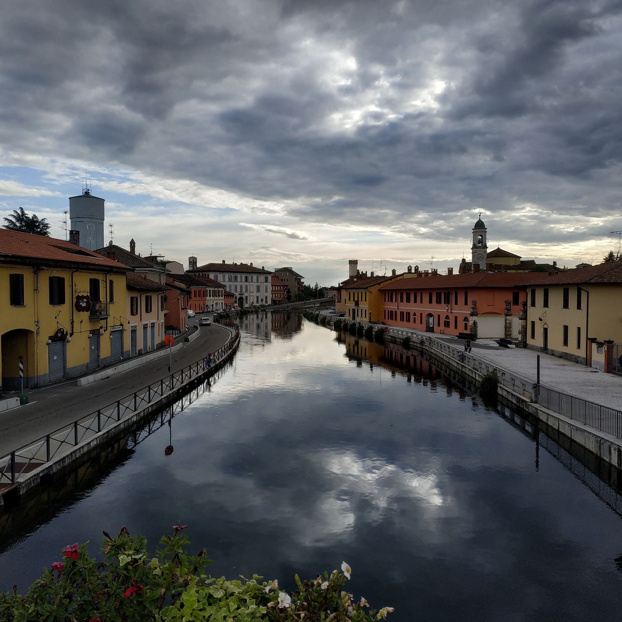
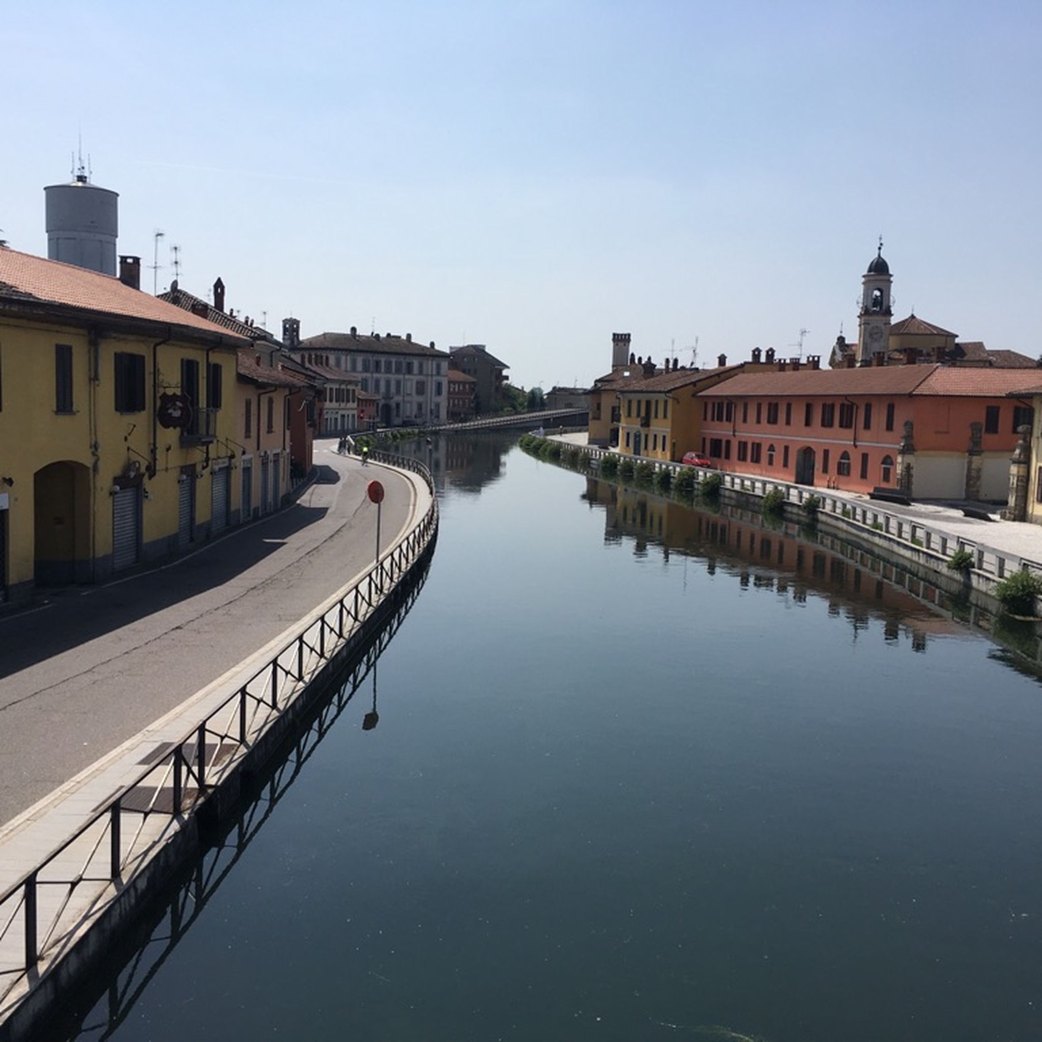
Beautiful 🌈 bridge to Cassinetta di Lugagnano🏘️
6
1
Beautiful cycle🚶pedestrian 🚴 on the Naviglio Grande🌊
4
0

In Nerviano the cycle path is closed for maintenance.
0
0
Frequently Asked Questions
How many mountain bike trails are available in Settimo Milanese?
Settimo Milanese offers a wide variety of mountain bike trails, with over 290 routes recorded. These include 92 easy trails, 183 moderate trails, and 15 more difficult options, catering to different skill levels.
What is the general terrain like for mountain biking in Settimo Milanese?
The terrain in Settimo Milanese is largely defined by its location within the expansive Parco Agricolo Sud Milano. You'll find agricultural land, sparse woodlands, and river basins. The area is relatively flat, being part of the Po Valley, but offers a blend of natural landscapes and historical elements, with established paths along waterways like the Villoresi Canal and Naviglio Grande.
Are there any family-friendly mountain bike trails in Settimo Milanese?
Yes, Settimo Milanese has several trails suitable for families and beginners. The region research indicates that routes like "Fontanili Centro," "Fontanili Est," and "Fontanili Ovest" are recommended for beginner riders, offering accessible options for a family outing.
What kind of natural features or landmarks can I expect to see along the mountain bike trails?
You can expect to encounter various natural and historical features. The trails often follow significant waterways like the Naviglio Grande and the Villoresi Canal, providing scenic views. Other highlights include the Gaggiano Bridge, and various lakes such as Lake of Parco delle Cave, Rosa Camuna Pond, and Laghetto La Fametta.
Are there any circular mountain bike routes in the area?
Yes, many routes in Settimo Milanese are designed as loops. For example, the Bridge🚲🌉🔀 – Underpass loop from Rho is a 42.2-mile (67.9 km) moderate trail, and the Gaggiano Bridge – Palazzo Archinto loop from Cesano Boscone offers a 25.8-mile (41.5 km) moderate ride.
What do other mountain bikers say about the trails in Settimo Milanese?
The mountain biking trails around Settimo Milanese are highly regarded by the komoot community, with an average rating of 4.2 stars from over 1,300 reviews. More than 6,000 mountain bikers have explored the area using komoot, appreciating the diverse terrain and scenic routes.
Are there any trails that follow the historic canals?
Absolutely. The region is well-known for its historic waterways. You can enjoy routes like the Naviglio Grande Near Bernate – Naviglio Grande loop from Rho, which follows the historic Naviglio Grande. Another option is the Towpath of the Villoresi Canal – Naviglio Grande loop from Rho, offering scenic views along both canals.
What is the best time of year to go mountain biking in Settimo Milanese?
While specific seasonal data isn't provided, the region's agricultural and canal-side trails are generally pleasant during spring and autumn when temperatures are mild. Summer can be warm, but the presence of waterways and sparse woodlands may offer some relief. Winter rides are possible, but conditions might be cooler and potentially wetter.
Are there any specific cycle paths or dedicated routes for mountain biking?
Yes, the area features dedicated cycle paths. The Villoresi Canal Cycle Path and the Alzaia Naviglio Grande Cycle Path are prominent examples, offering established and scenic routes for cyclists. The region research also mentions "Ciclabile Via Panzeri - Via Gramsci" and "Ciclabile Via Gramsci" as local options.
What are the typical distances and durations for mountain bike trails in this area?
Trail distances vary significantly. For instance, the Naviglio Grande – Alzaia Canale Villoresi loop from Rho is a longer ride at 45.8 miles (73.7 km), typically taking around 4 hours and 9 minutes. Other routes can be shorter or longer, with durations depending on your pace and the specific trail chosen.
Most popular routes around Settimo Milanese
Most popular attractions around Settimo Milanese

Get inspired with the komoot mobile app


Explore more
Browse the best MTB trails in other regions.
