Sankt Gotthard im Mühlkreis
Sankt Gotthard im Mühlkreis
The best road cycling routes around Sankt Gotthard im Mühlkreis
4.6
(403)
13,676
riders
198
rides
Road cycling routes around Sankt Gotthard im Mühlkreis traverse a landscape characterized by gentle hills and picturesque river valleys, including the Eschelbach, Kleine Rodl, and Große Rodl rivers. Elevations in the area range from approximately 276 meters to 517 meters, offering varied gradients for road cyclists. The region provides a network of routes suitable for different fitness levels, from relaxed rides to challenging endeavors. This terrain offers a mix of enjoyable ascents and scenic flat stretches.
Best road cycling routes…
Last updated: July 8, 2026
5.0
(2)
212
riders
Moderate road ride. Good fitness required. Mostly well-paved surfaces and easy to ride.
5.0
(3)
145
riders
Moderate road ride. Good fitness required. Mostly well-paved surfaces and easy to ride.

Sign up for free
4.3
(3)
100
riders
Moderate road ride. Good fitness required. Mostly well-paved surfaces and easy to ride.
4.0
(1)
102
riders
Moderate road ride. Good fitness required. Mostly well-paved surfaces and easy to ride.
51
riders
Hard road ride. Very good fitness required. Mostly well-paved surfaces and easy to ride.
Get access to more routes and recommendations from other explorers.
Sign up for free
Already have an account?
Our route recommendations are based on thousands of hikes, rides, and runs completed by other people on komoot.
Start today with a free account
Your next adventure awaits.
Login or Signup
Popular around Sankt Gotthard im Mühlkreis

Tips from the Community

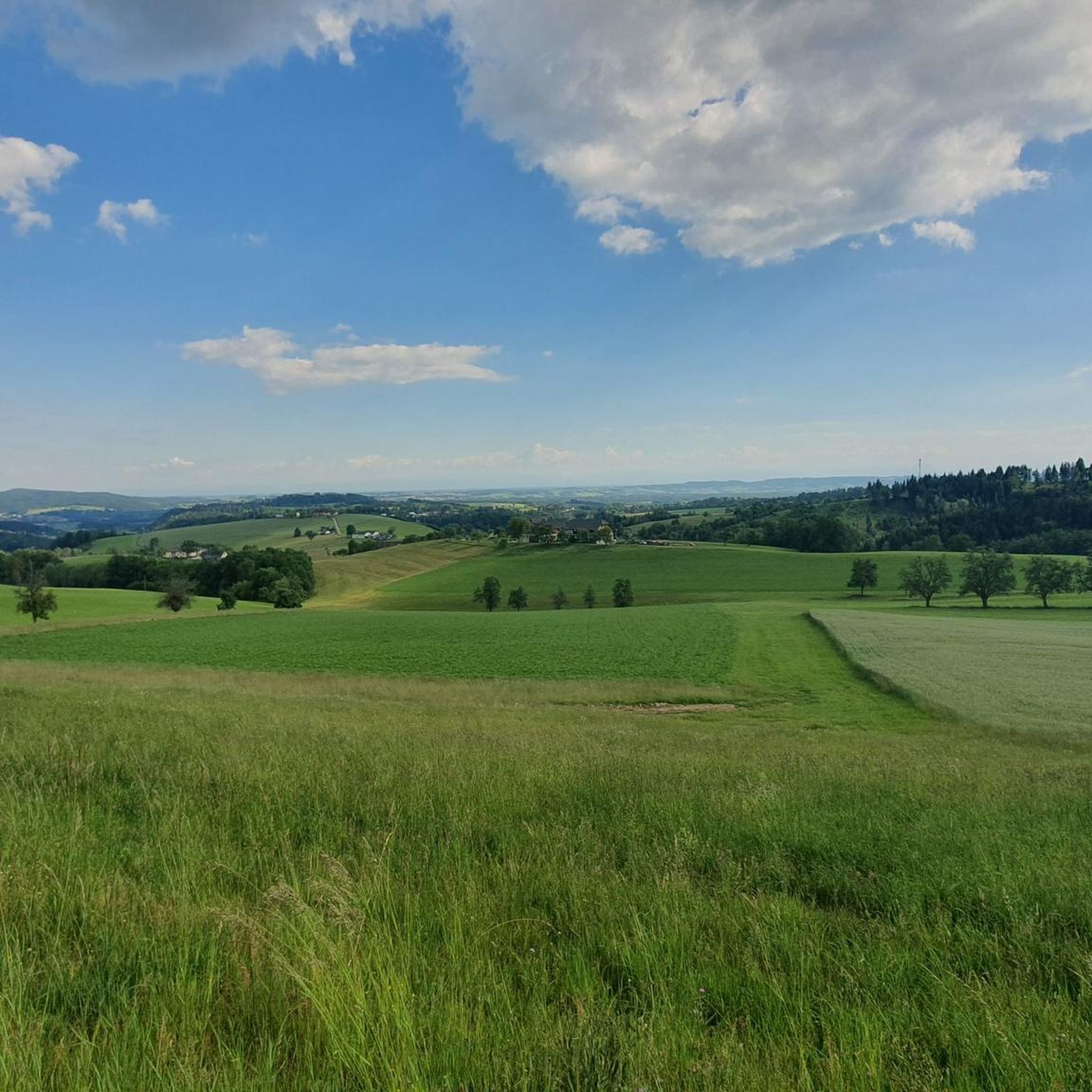
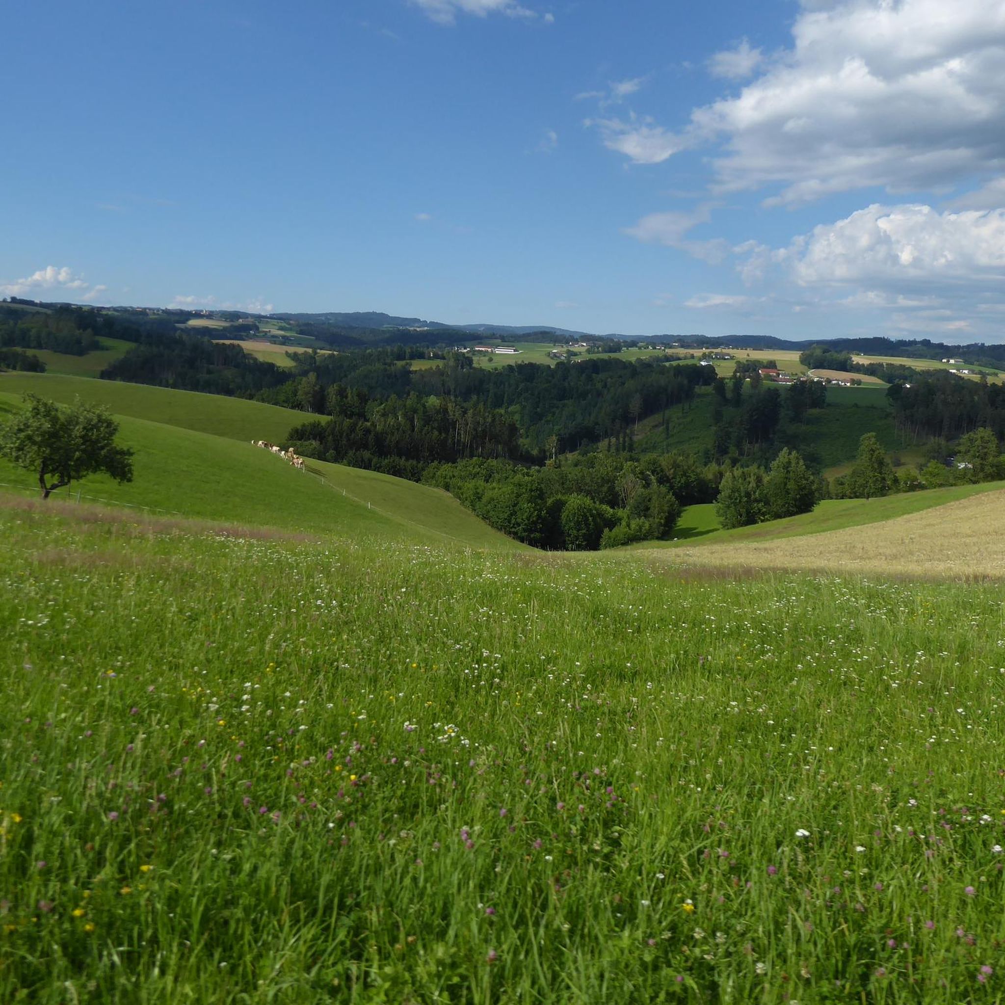
Incredibly beautiful section of the trail with a great view to the southwest.
0
0

Because it is a beautiful area and you can do a lot on the very beautiful quiet campsite
0
0

Aschach an der Donau is one of those places that you visit and immediately feel like you are in a postcard. It is one of the oldest and most charming market towns in Upper Austria (Eferding district) and is located directly on the great Danube loop. For centuries, Aschach was an important hub for shipping and trade. This is still reflected in the townscape today. The row of houses directly on the Danube promenade largely dates from the 16th century (Renaissance and Baroque). The facades are magnificently restored and a popular photo motif.
0
0

(still?) Hotel, was the venue for weddings and football club training camps, and a TV film was also shot here.
0
0

Ottensheim-Wilhering Power Plant and Lock! This impressive facility on the Danube plays an important role in energy generation and shipping. Here are some interesting aspects: ### General Information - **Location**: The power plant and lock are located in the municipality of **Wilhering** in **Upper Austria**. - **Year of Construction**: The power plant was built from **1970 to 1975** and is a run-of-river power plant. ### Technical Features 1. **Lock**: - The lock has **two lock chambers** measuring **230 × 24 m**. - It allows ships to pass through and overcomes the height difference in the river. 2. **Power Plant**: - The power plant has an **capacity** of approximately **30 MW** and uses the current of the Danube to generate electricity. - It is part of a project with **72 million euros** being invested to ensure the lifespan and efficiency of the power plant for another **50 years**. 3. **Water level**: - The river dam length is **16 km**, and the dam target is at an altitude of approximately **250 m**. ### Significance - **Energy generation**: The power plant contributes significantly to the region's electricity supply and is an important component of renewable energy sources in Austria. - **Shipping**: The lock is a central point for inland navigation on the Danube, enabling the transport of goods and passengers. ### Summary The **Ottensheim-Wilhering power plant and lock** are not only technical masterpieces, but also crucial elements for the energy supply and shipping in the region. A visit to this facility offers exciting insights into the world of hydropower and engineering! ✨
2
0

Many cafes and restaurants along the Danube, perfect for a break on your bike tour.
1
0

Beautiful view of the Danube and Aschach.
0
0
Frequently Asked Questions
What kind of terrain can I expect when road cycling in Sankt Gotthard im Mühlkreis?
Sankt Gotthard im Mühlkreis offers a diverse landscape for road cycling, characterized by gentle hills and picturesque river valleys, including the Eschelbach, Kleine Rodl, and Große Rodl rivers. Elevations range from approximately 276 meters to 517 meters, providing a mix of enjoyable ascents and scenic flat stretches suitable for various fitness levels.
How many road cycling routes are available in Sankt Gotthard im Mühlkreis?
There are over 200 road cycling routes available in Sankt Gotthard im Mühlkreis, catering to different preferences and fitness levels. This includes 36 easy routes, 97 moderate routes, and 70 difficult routes, ensuring options for everyone from beginners to experienced cyclists.
Are there any challenging road cycling routes with significant climbs in the region?
Yes, for those seeking a challenge, Sankt Gotthard im Mühlkreis offers routes with notable ascents. For example, the View of the Mühlviertel Hills – St. Peter am Wimberg Church loop from Rottenegg is a difficult route covering 57.4 km with over 940 meters of elevation gain, leading through the Mühlviertel Hills.
What are some scenic highlights or landmarks I can see along the road cycling routes?
Road cycling routes in Sankt Gotthard im Mühlkreis often feature scenic views and historical sites. You might encounter the historical Ruine Rottenegg, picturesque river valleys, and natural monuments like Kerzenstein. Some routes also offer views of Linz from the Euphemia Viewing Platform (Pöstlingberg) or Ottensheim–Wilhering Cable Ferry.
Are there any long-distance road cycling routes in Sankt Gotthard im Mühlkreis?
Yes, the region offers several longer routes. The Danube Cycle Path with swimming spots – Through the Mühlbach Valley loop from Lacken im Mühlkreis is a moderate 85.3 km route, providing a substantial ride through scenic areas.
What is the best time of year to go road cycling in Sankt Gotthard im Mühlkreis?
June is a particularly popular month for cyclists in Sankt Gotthard im Mühlkreis, suggesting favorable conditions. Generally, the warmer months from spring to early autumn offer the best weather for road cycling, allowing you to enjoy the varied terrain and scenic landscapes.
Are there any road cycling routes that follow the Danube Cycle Path?
Yes, several routes incorporate sections of the famous Danube Cycle Path. For instance, the Aschach on the Danube – Danube Cycle Path with swimming spots loop from Rottenegg is a moderate 57.1 km route that follows the Danube Cycle Path and passes by designated swimming spots.
What do other road cyclists say about the routes in Sankt Gotthard im Mühlkreis?
The road cycling routes in Sankt Gotthard im Mühlkreis are highly rated by the komoot community, with an average score of 4.6 stars from over 300 reviews. More than 13,000 road cyclists have explored the varied terrain, often praising the mix of gentle hills, picturesque river valleys, and well-maintained paths.
Are there any road cycling routes suitable for families or beginners?
Yes, Sankt Gotthard im Mühlkreis provides options for all skill levels, including 36 easy routes. These routes are generally characterized by gentler gradients and shorter distances, making them suitable for families or those new to road cycling.
Can I find routes that offer views of historical castles or significant buildings?
Absolutely. The View of Schloss Neuhaus – Danube Cycle Path South Bank loop from Lacken im Mühlkreis is a moderate 69.0 km route that specifically offers views of Schloss Neuhaus while following the Danube Cycle Path.
Are there any loop routes available for road cyclists?
Many of the road cycling routes in Sankt Gotthard im Mühlkreis are designed as loops, allowing you to start and end at the same point. Examples include the Through the Mühlbach Valley – View of Eferdingerlandl loop from Lacken im Mühlkreis, a moderate 68.6 km route.
Most popular routes around Sankt Gotthard im Mühlkreis
Most popular attractions around Sankt Gotthard im Mühlkreis

Get inspired with the komoot mobile app


Explore more
Browse the best Road cycling routes in other regions.
