The best gravel rides around Sankt Gotthard im Mühlkreis
4.7
(9)
75
riders
13
rides
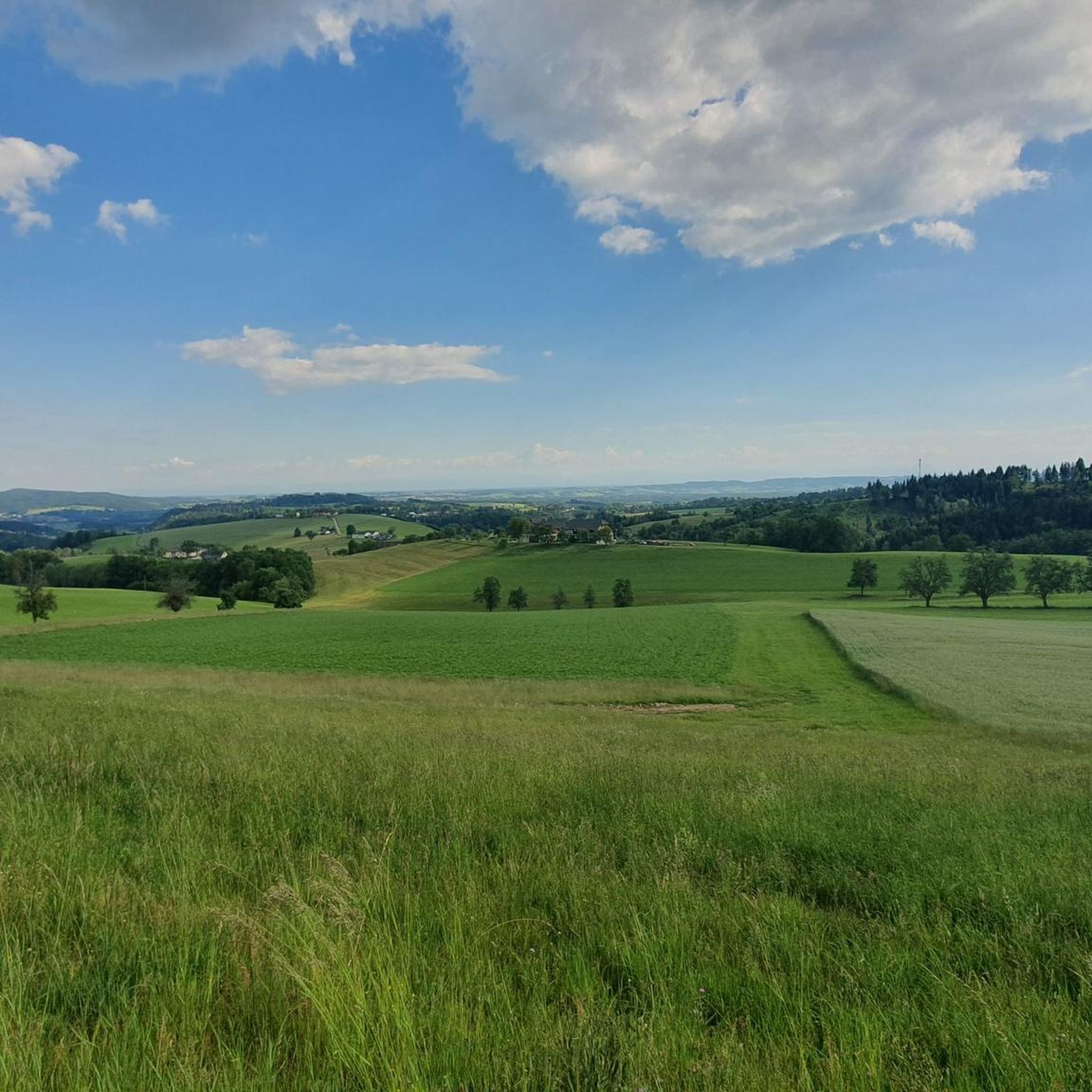
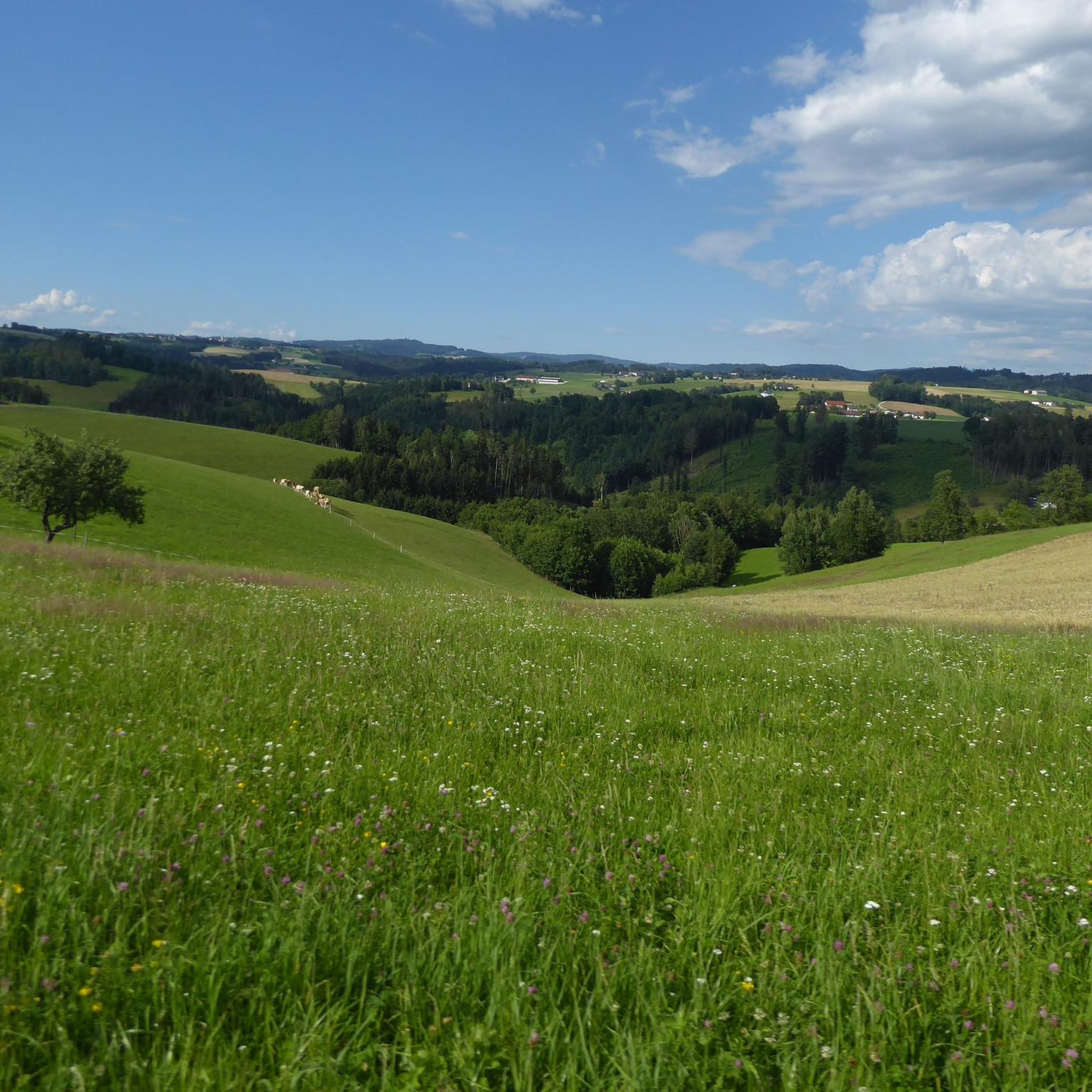
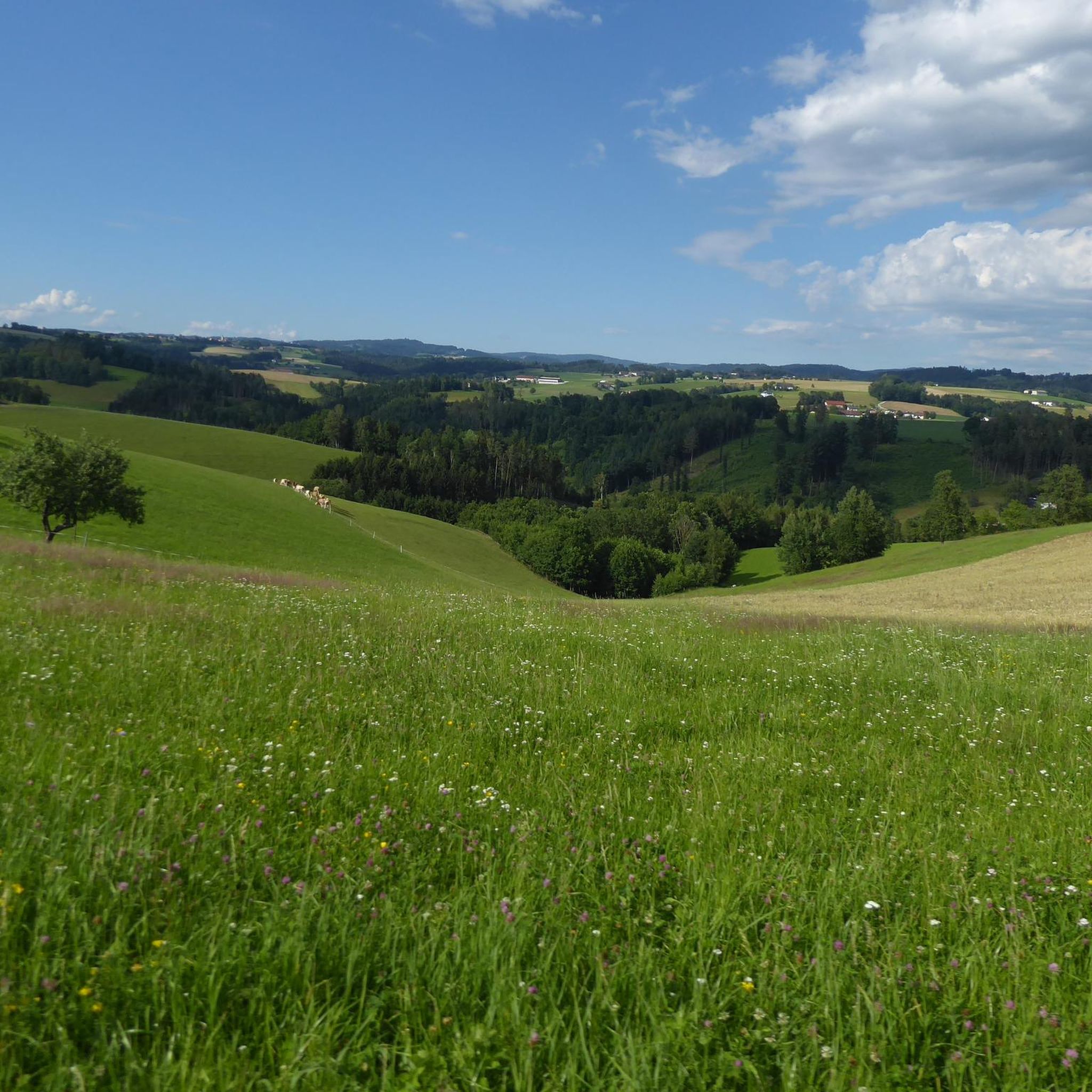
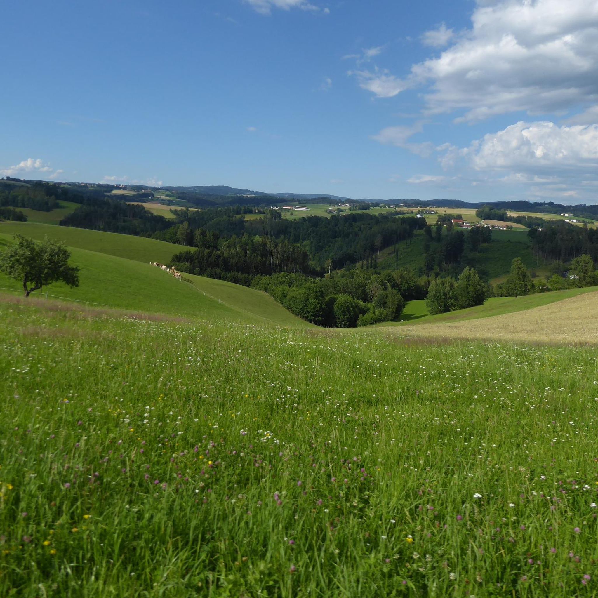
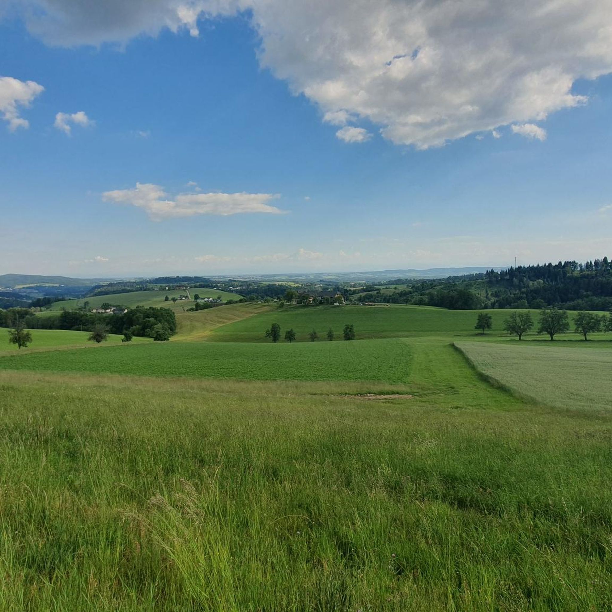
Gravel biking around Sankt Gotthard im Mühlkreis offers routes through varied terrain, characterized by its proximity to the Danube River and the rolling hills of the Mühlviertel region. The landscape features a mix of riverside paths, forested sections, and elevated areas providing expansive views. This granite-rich terrain includes forest tracks, gravel roads, and meadow paths, with elevations ranging from approximately 900 feet (276 meters) to 1,700 feet (517 meters). The region's topography ensures a mix of challenging climbs and rewarding…
Last updated: July 3, 2026
5.0
(3)
23
riders
88.7km
06:27
1,690m
1,690m
Hard gravel ride. Very good fitness required. Mostly paved surfaces. Suitable for all skill levels.
3
riders
Hard gravel ride. Very good fitness required. Mostly paved surfaces. Suitable for all skill levels.

Sign up for free
5.0
(2)
9
riders
Hard gravel ride. Very good fitness required. Mostly paved surfaces. Suitable for all skill levels.
6
riders
50.0km
03:11
450m
450m
Hard gravel ride. Very good fitness required. You may need to push your bike for some segments of this route.
3
riders
Hard gravel ride. Very good fitness required. You may need to push your bike for some segments of this route.
Get access to more routes and recommendations from other explorers.
Sign up for free
Already have an account?
Our route recommendations are based on thousands of hikes, rides, and runs completed by other people on komoot.
Start today with a free account
Your next adventure awaits.
Login or Signup
Popular around Sankt Gotthard im Mühlkreis

Tips from the Community

In 2020, the chapel was extensively renovated.
3
0
The Giselawarte was built in 1856 and named after Princess Gisela, a daughter of Emperor Franz Joseph. In 1960, it was extended by two floors.
3
0
Giselawarte was built in 1856 and named after Princess Gisela, a daughter of Emperor Franz Joseph. In 1960, it was increased by two stories.
3
0


In the Zwergenwald. A very lovingly designed path.
0
0

Transmitter near Lichtenberg
6
0
The Pöstlingberg in the hill
5
0
Cross at the Gisela Tower
6
0
Frequently Asked Questions
How many gravel bike trails are there in Sankt Gotthard im Mühlkreis?
There are nearly 30 gravel bike routes available around Sankt Gotthard im Mühlkreis. These routes cater to various skill levels, from moderate riverside paths to challenging climbs through the Mühlviertel hills.
What is the best time of year for gravel biking in Sankt Gotthard im Mühlkreis?
The region is generally best for gravel biking from spring through autumn. The mild temperatures and vibrant landscapes make it ideal for exploring the Danube riverside paths and forested hills. While winter biking is possible, be prepared for colder conditions and potential snow or ice, especially on higher elevation trails.
Are there gravel bike trails suitable for beginners in Sankt Gotthard im Mühlkreis?
Yes, there are routes suitable for beginners or those looking for a more relaxed ride. The area offers moderate trails, particularly along the Danube River. A good option is the Feldkirchen Bathing Lake – Deinhamer Danube Cycle Path loop from Feldkirchen an der Donau, which is a moderate 32.8 km route with minimal elevation gain.
What are some challenging gravel bike routes in the region?
For experienced gravel bikers seeking a challenge, Sankt Gotthard im Mühlkreis offers several difficult routes with significant elevation. Consider the Urfahrwänd Suspension Bridge – View of Linz loop from Puchenau West, an 88.8 km route with over 1600 meters of climbing, or the View of Linz and Pöstlingberg – Gis Transmitter and Restaurant loop from Ottensheim, which features nearly 950 meters of ascent over 31.9 km.
Are there any circular gravel bike routes around Sankt Gotthard im Mühlkreis?
Many of the gravel bike routes in the region are designed as loops, allowing you to start and end at the same point. Examples include the popular Feldkirchen Bathing Lake – Deinhamer Danube Cycle Path loop from Feldkirchen an der Donau and the longer Danube Cycle Path near Exlau – Danube Cycle Path South Bank loop from Gerling OÖ.
What can I see along the gravel bike trails in Sankt Gotthard im Mühlkreis?
The trails offer diverse scenery, including views of the Danube River, forested sections, and elevated viewpoints. You can also discover historical sites like the Waxenberg Castle Ruins or the Starhemberg Castle. For a refreshing stop, the Feldkirchen Bathing Lake is a popular highlight.
Are there good viewpoints along the gravel routes?
Yes, the rolling hills of the Mühlviertel region provide numerous opportunities for expansive views. Routes like the Urfahrwänd Suspension Bridge – View of Linz loop from Puchenau West offer stunning vistas towards Linz. You can also find specific viewpoints such as the View of Schloss Neuhaus or the Kettenturm Viewpoint on the Danube.
What do other gravel bikers enjoy about the trails in Sankt Gotthard im Mühlkreis?
The area is highly rated by the komoot community, with an average score of 4.9 stars. Reviewers often praise the varied terrain, which combines scenic riverside paths with challenging climbs, and the well-maintained trails that offer a great mix of natural beauty and physical activity.
Is it possible to access gravel trails in Sankt Gotthard im Mühlkreis using public transport?
While specific public transport connections directly to trailheads can vary, the region is generally accessible. Many routes start near towns like Feldkirchen an der Donau or Puchenau West, which may have bus or train connections. It's advisable to check local transport schedules for the most up-to-date information on reaching your desired starting point.
Are there cafes or places to eat near the gravel bike trails?
Yes, many routes pass through or near villages and towns where you can find cafes, restaurants, and guesthouses. Especially along the Danube Cycle Path sections, there are often establishments catering to cyclists. Planning your route with komoot allows you to identify potential refreshment stops along the way.
Are there any hidden gem gravel bike trails in Sankt Gotthard im Mühlkreis?
While the main routes are well-loved, the extensive network of paths in the Mühlviertel means there are always quieter sections to discover. Exploring the smaller forest roads and agricultural tracks away from the main Danube path can lead to peaceful, less-trafficked areas. The Rodl Riverside Rest Area – Gis Transmitter and Restaurant loop from Puchenau West offers a mix of riverside and elevated sections that might reveal some less-known spots.
Most popular routes around Sankt Gotthard im Mühlkreis
Most popular attractions around Sankt Gotthard im Mühlkreis

Get inspired with the komoot mobile app


Explore more
Browse the best Gravel rides in other regions.
