The best walks and hikes around Sangerhausen
4.6
(5791)
18,370
hikers
475
hikes
Hiking around Sangerhausen offers a diverse landscape characterized by rolling hills, reservoirs, and areas influenced by historical mining. The region features a mix of open paths and forested sections, providing varied terrain for exploration. Hikers can expect routes that traverse natural water bodies and offer views of the surrounding countryside. The elevation changes are generally moderate, making the area accessible for a range of hiking abilities.
Best hiking trails around Sangerhausen
- The most popular hiking route is Wippertalsperre Dam –…
Last updated: September 30, 2026
4.6
(416)
1,198
hikers
9.04km
02:31
170m
170m
Moderate hike. Good fitness required. Mostly accessible paths. Sure-footedness required.
4.6
(422)
1,192
hikers
Moderate hike. Great for any fitness level. Mostly accessible paths. Sure-footedness required.

4.6
(101)
328
hikers
14.6km
04:04
270m
270m
Moderate hike. Good fitness required. Easily-accessible paths. Suitable for all skill levels.
4.7
(98)
316
hikers
Moderate hike. Good fitness required. Easily-accessible paths. Suitable for all skill levels.
4.6
(97)
288
hikers
17.3km
04:44
270m
270m
Moderate hike. Good fitness required. Easily-accessible paths. Suitable for all skill levels.
Get access to more routes and recommendations from other explorers.
Already have an account?
Our route recommendations are based on thousands of hikes, rides, and runs completed by other people on komoot.
Start today with a free account
Your next adventure awaits.
Popular around Sangerhausen
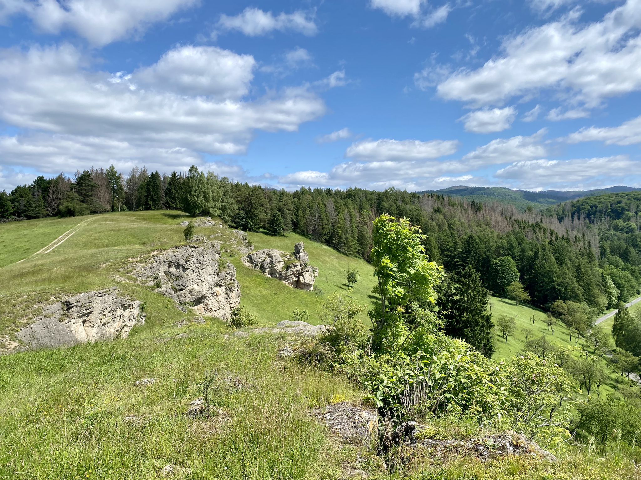
Karst Trail in Germany's Southern Harz Mountains – Where Water Meets Limestone
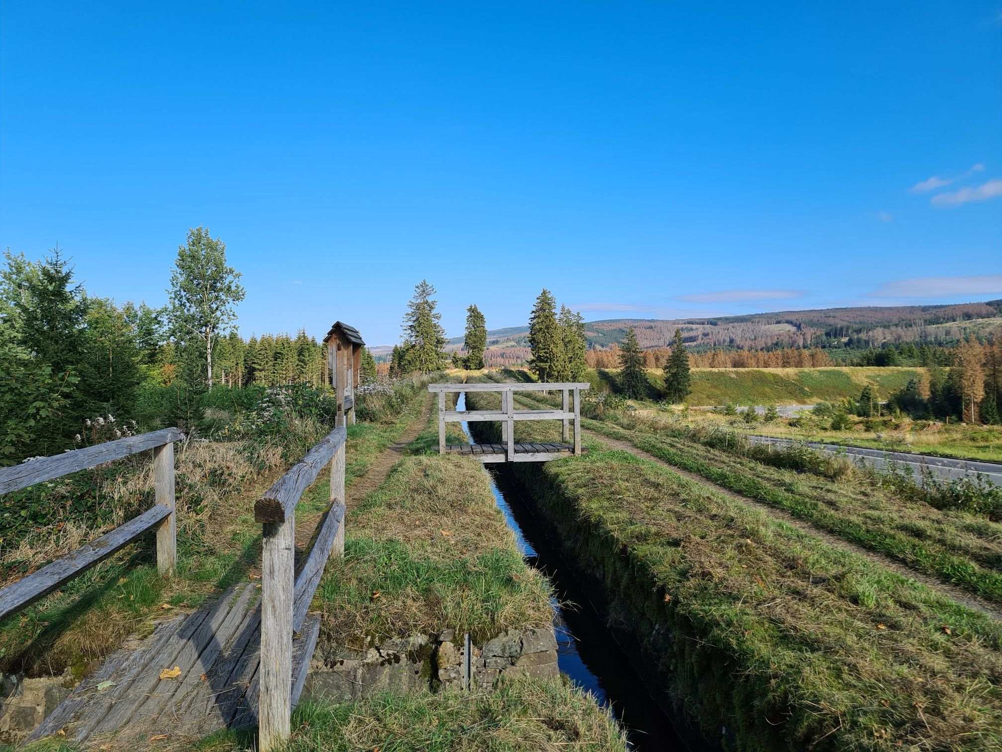
Explore Germany’s mining history — explore the Harz Mountains
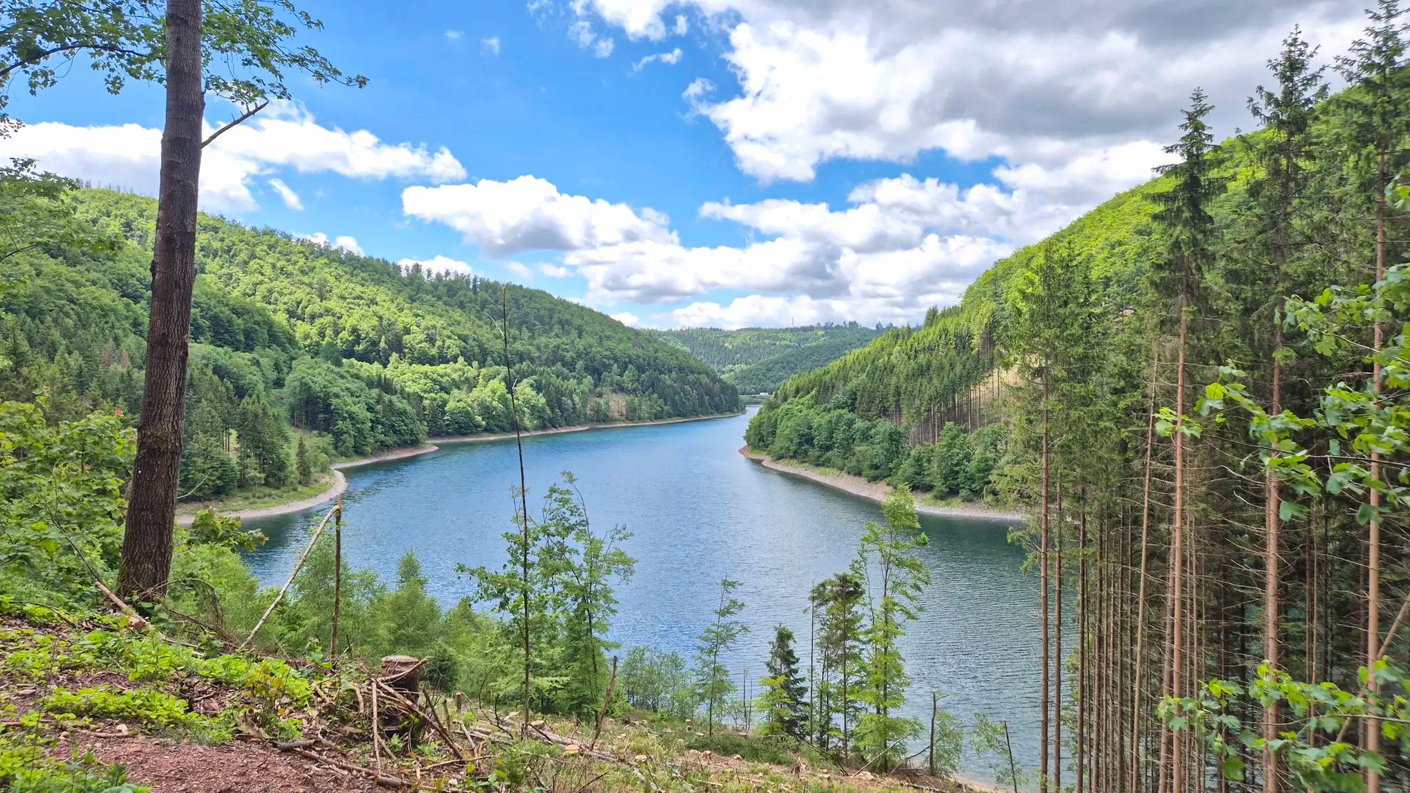
Drei Regionen, viele Abenteuer – Graveln zwischen Harz, Saale und Thüringer Wald
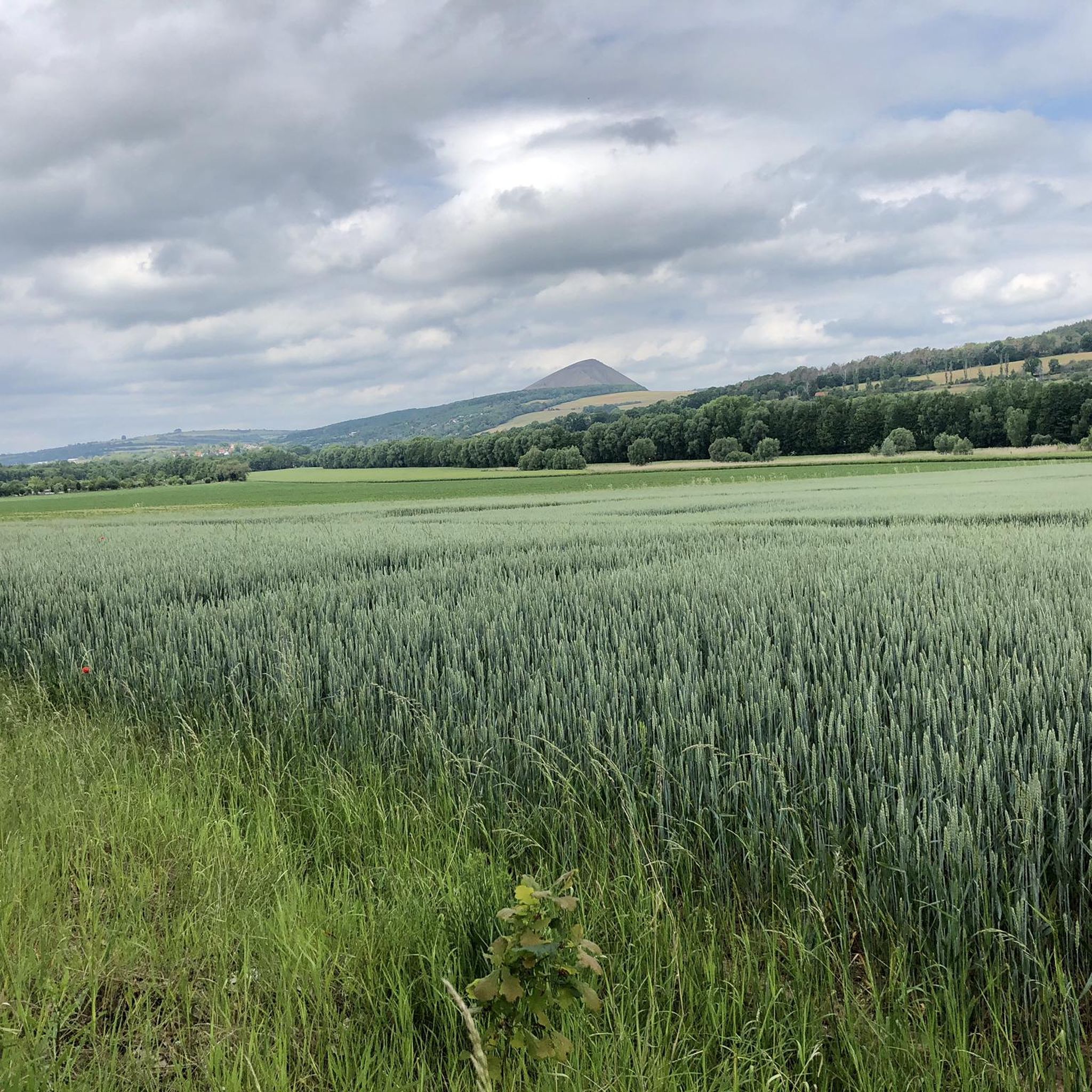
Cycling around Sangerhausen
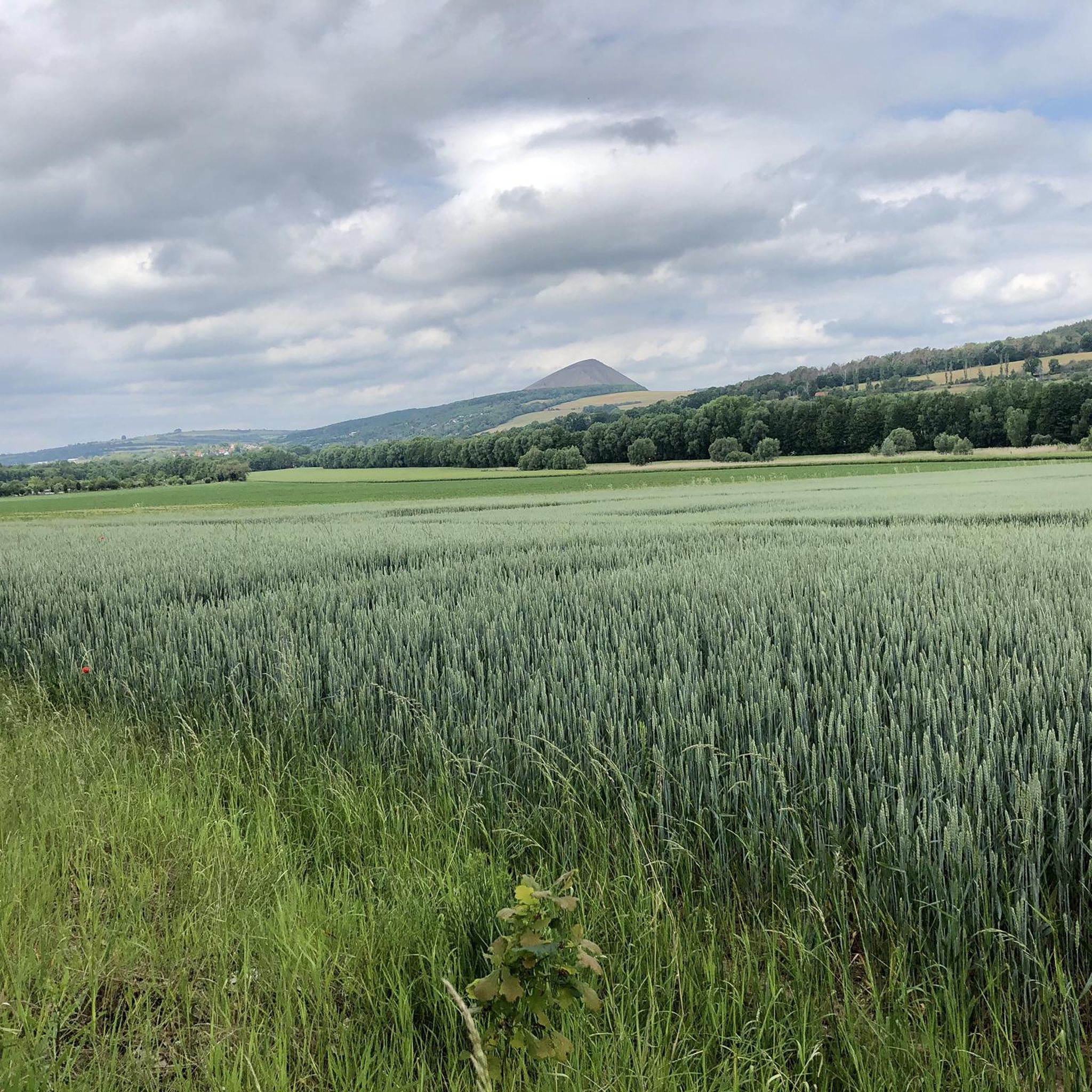
Road Cycling Routes around Sangerhausen
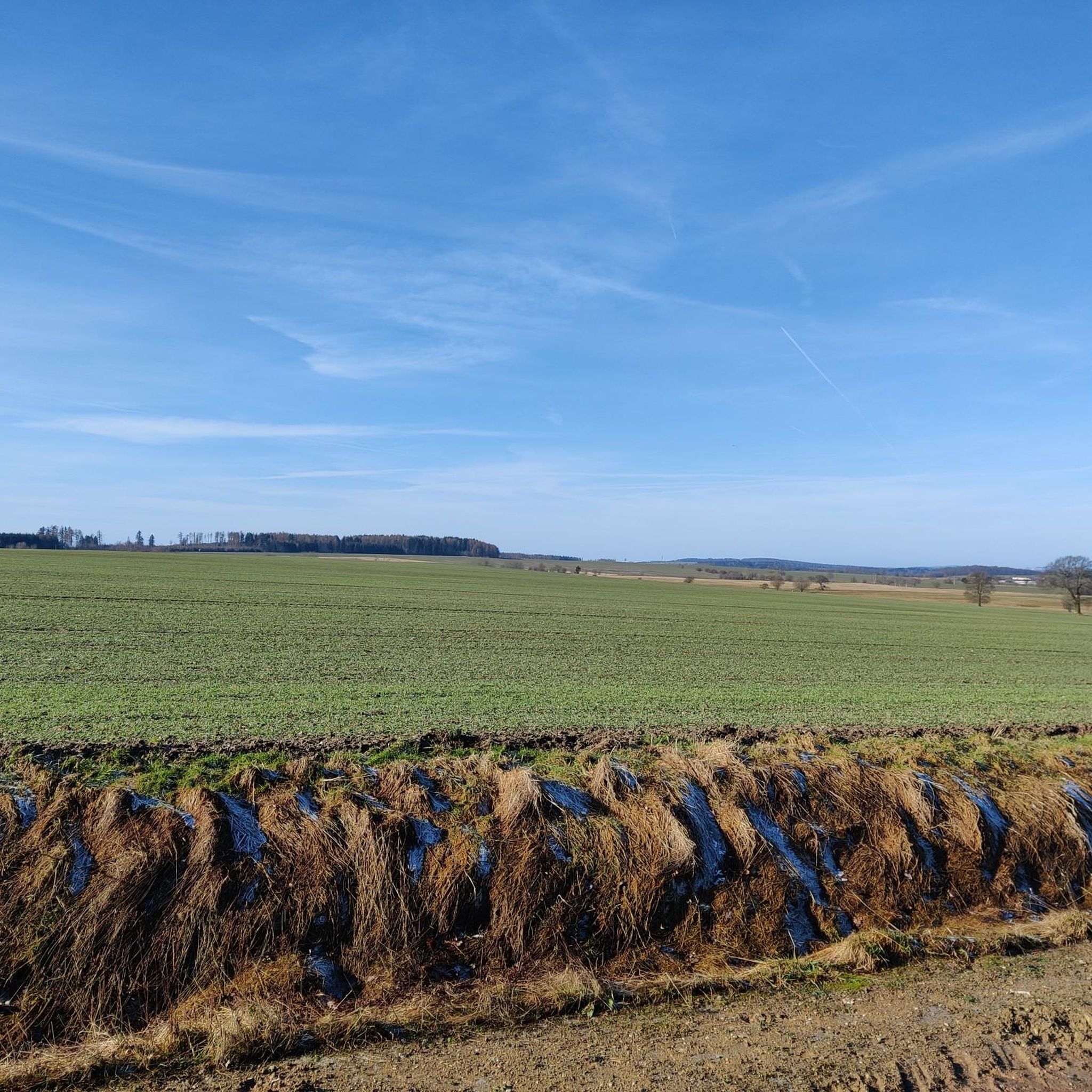
MTB Trails around Sangerhausen
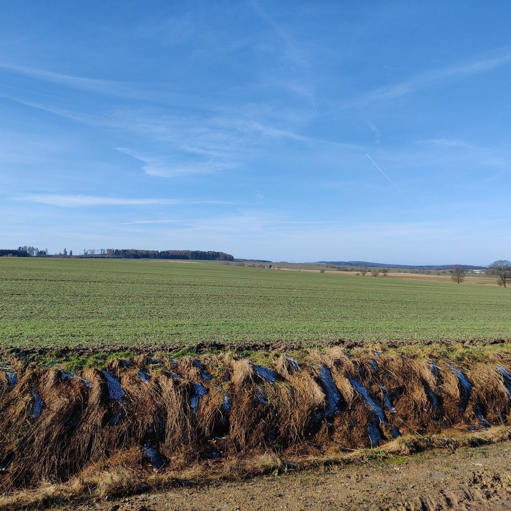
Running Trails around Sangerhausen
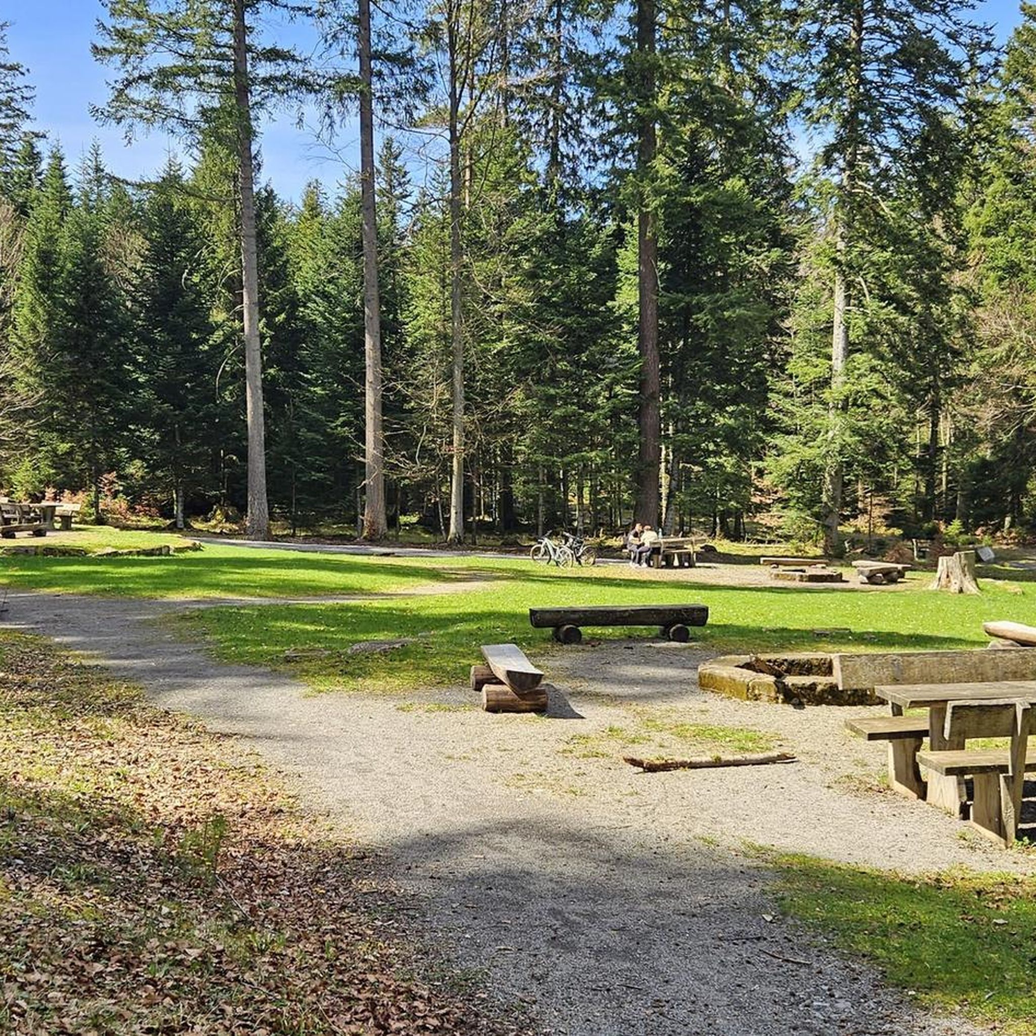
Gravel biking around Sangerhausen
Other adventures around Sangerhausen


Tips from the Community

A lap around the reservoir can be done in a good 2 hours.
1
0
Nice stamping point with a view of the dam.
1
0
There is also a small parking lot here and you can start the Wippertalsperren tour.
1
0
Pavilion with a viewing window facing the dam, a good place for a break.
1
0

In winter you can see how many animals migrate through this area.
2
0
The short tour is always impressive, with or without clothes 😆😂
9
0
The 6 km loop is still wonderful despite the dying trees. And that's true in every season.
8
0

Beautiful view of the Röhrigschacht mine and surroundings
0
0
Frequently Asked Questions
How many hiking trails are available around Sangerhausen?
Sangerhausen offers a wide variety of hiking opportunities, with over 470 routes recorded on komoot. These range from easy strolls to more challenging moderate hikes, ensuring options for different ability levels.
Are there easy hiking trails suitable for beginners or families in Sangerhausen?
Yes, Sangerhausen has many easy trails. Approximately half of the routes, over 240, are classified as easy. A good option for a shorter, family-friendly walk is the Moltkewarte Sangerhausen – Hohe Linde Spoil Heap loop from Lengefeld, which is just 2.3 miles (3.7 km) and takes less than an hour.
What kind of scenery can I expect on hikes around Sangerhausen?
The landscape around Sangerhausen is characterized by rolling hills, serene reservoirs, and a mix of open paths and forested sections. Many routes offer views of natural water bodies and insights into the region's historical mining areas. You'll find varied terrain, from gentle slopes to more undulating paths.
Are there any circular hiking routes in Sangerhausen?
Yes, many of the trails around Sangerhausen are circular, allowing you to start and end at the same point. For example, the Wippertalsperre Dam – Wippertalsperre (HWN 219) loop from Ziegenberg is a popular moderate circular route that circles the dam.
What are some notable natural attractions or landmarks to see while hiking?
The region features several interesting sights. You can explore areas around the Wippertalsperre Dam and the Wettelrode Reservoir. For specific landmarks, consider visiting the Josephskreuz on the Great Auerberg or the Queste Hill and Questenbaum Monument, which offer great viewpoints.
Are there any waterfalls near Sangerhausen?
While Sangerhausen itself is not known for large waterfalls, the broader region offers some smaller cascades. You can find highlights like the Selkefall (South Bank) or the Selke Waterfall in the Upper Selke Valley, which are part of the scenic Selke Valley.
What do other hikers say about the trails in Sangerhausen?
The hiking trails in Sangerhausen are highly regarded by the komoot community, boasting an average rating of 4.6 stars from over 5,000 reviews. Hikers often praise the diverse scenery, the well-maintained paths, and the accessibility of routes for various fitness levels.
Are there any hikes that explore the historical mining areas around Sangerhausen?
Yes, the region has a rich mining history, and some trails offer insights into this past. The Wettelrode Reservoir – View of the mining area loop from Wettelrode is a moderate route that specifically explores the area around Wettelrode Reservoir, providing views of historical mining sites.
What is the best time of year to go hiking in Sangerhausen?
Hiking in Sangerhausen is enjoyable throughout much of the year. Spring brings blooming wildflowers and fresh greenery, while autumn offers vibrant foliage. Summer is ideal for longer days, and even winter can be beautiful for crisp walks, though some paths might be icy or muddy.
Are the hiking trails around Sangerhausen accessible by public transport?
While many trailheads are best reached by car, some routes may have access points near local bus stops or train stations. It's advisable to check local public transport schedules and routes in advance to plan your journey to specific starting points.
Are there any specific permits required for hiking in the Sangerhausen area?
Generally, no special permits are required for hiking on the public trails around Sangerhausen. However, always respect private property and any local regulations or signage you may encounter, especially in protected natural areas.
Can I find hikes with good parking facilities in Sangerhausen?
Many popular trailheads and starting points for hikes around Sangerhausen offer designated parking areas. It's common to find parking available near reservoirs or at the beginning of well-known loop trails, making it convenient for visitors arriving by car.
Most popular routes around Sangerhausen
Most popular attractions around Sangerhausen

Get inspired with the komoot mobile app


Explore more
Browse the best Hikes in other regions.
