The best hikes from bus stations around Sangerhausen
4.6
(5681)
18,016
hikers
229
hikes
Bus station hiking trails around Sangerhausen offer access to a diverse landscape in the southern Harz foreland. The region is characterized by its historical mining landscape, unique Karst formations, and the expansive Europa Rosarium. Hikers can explore a blend of cultural heritage and natural beauty, with trails winding through forests, past reservoirs, and over hills.
Best bus station hiking trails around Sangerhausen
- The most popular bus station hiking route is Wettelrode Reservoir – View of the mining area loop from…
Last updated: August 21, 2026
4.6
(101)
328
hikers
14.6km
04:04
270m
270m
Moderate hike. Good fitness required. Easily-accessible paths. Suitable for all skill levels.
4.8
(20)
77
hikers
Easy hike. Great for any fitness level. Easily-accessible paths. Suitable for all skill levels.

Sign up for free
4.8
(15)
51
hikers
5.96km
01:42
140m
140m
Easy hike. Great for any fitness level. Easily-accessible paths. Suitable for all skill levels.
4.7
(14)
59
hikers
6.76km
01:55
150m
150m
Easy hike. Great for any fitness level. Easily-accessible paths. Suitable for all skill levels.
4.4
(50)
166
hikers
8.64km
02:20
110m
110m
Moderate hike. Good fitness required. Easily-accessible paths. Suitable for all skill levels.
Get access to more routes and recommendations from other explorers.
Sign up for free
Already have an account?
Our route recommendations are based on thousands of hikes, rides, and runs completed by other people on komoot.
Start today with a free account
Your next adventure awaits.
Login or Signup
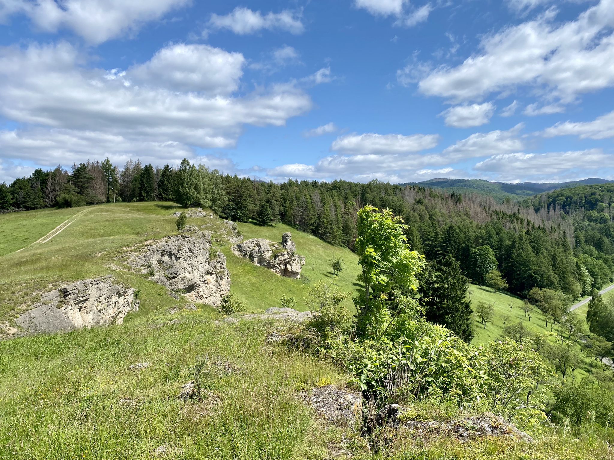
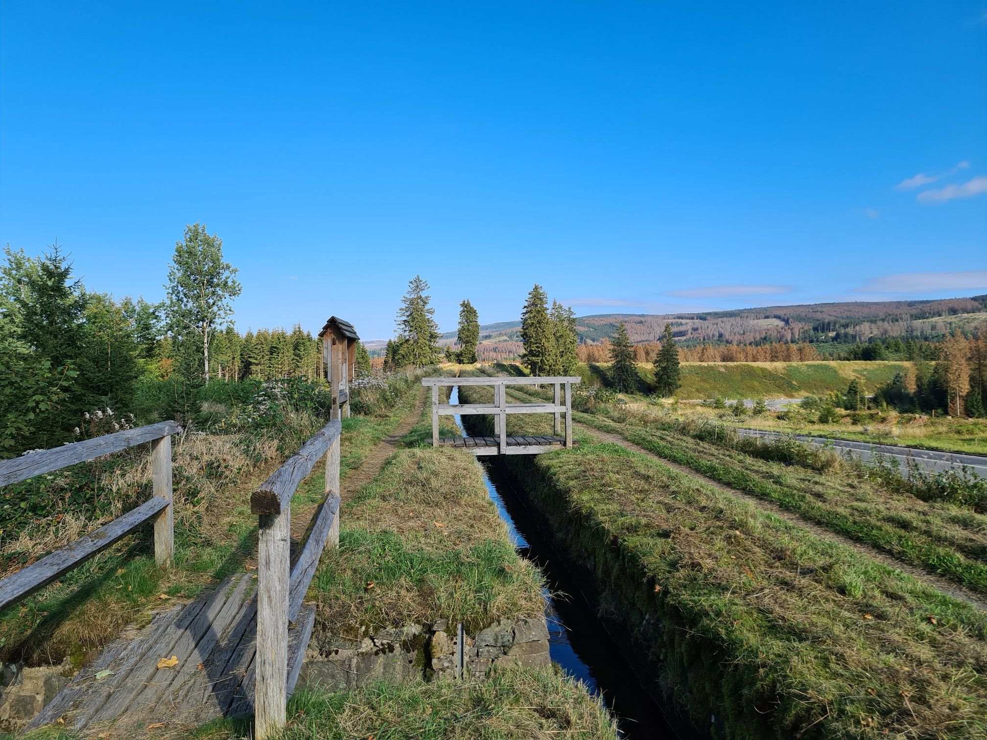
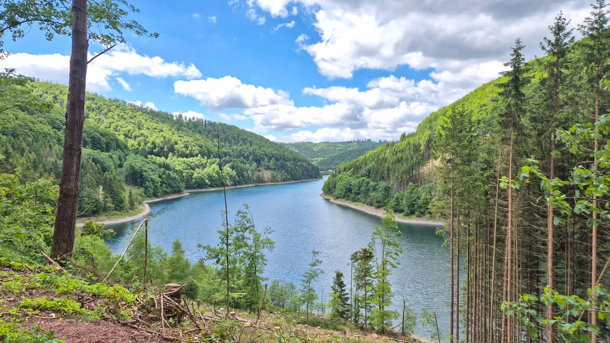
Other adventures around Sangerhausen


Tips from the Community


Information boards are always useful, and this one even includes rest areas.
2
0
Beautiful view of the Röhrigschacht mine and surroundings
0
0

Passed by here on a short hike to the stamp point HWN 222 😊
1
0
Passed by here on a short hike to the stamp point HWN 222 😊
0
0
Passed by here on a short hike to the stamp point HWN 208 Grillenburg Castle Ruins 😊
0
0
Passed by here on a short hike to the stamp point HWN 208 Grillenburg Castle Ruins 😊
0
0
Passed by here on a short hike to the stamp point HWN 208 Grillenburg Castle Ruins 😊
0
0
Frequently Asked Questions
How many bus-accessible hiking trails are there around Sangerhausen?
There are over 230 bus-accessible hiking trails around Sangerhausen, offering a wide variety of options for all skill levels. This includes more than 120 easy routes, over 100 moderate trails, and a few challenging options for experienced hikers.
What is the best time of year to go hiking from bus stations in Sangerhausen?
The best times for hiking in Sangerhausen are spring and autumn. In spring, the region bursts into bloom, offering vibrant scenery, especially around the Märzenbechertal Snowdrop Valley. Autumn transforms the landscape with stunning foliage colors, adding a special charm to your walks through the Harz foreland.
What do other hikers enjoy most about the bus-accessible trails in Sangerhausen?
The bus-accessible trails in Sangerhausen are highly rated by the komoot community, with an average score of 4.6 stars from nearly 5,000 ratings. Hikers often praise the diverse landscapes, from the unique Karst features to the historical mining areas, and the accessibility of these routes via public transport.
Are there easy bus-accessible hiking trails suitable for beginners in Sangerhausen?
Yes, Sangerhausen offers many easy bus-accessible trails perfect for beginners or those looking for a relaxed stroll. For example, the Moltkewarte Sangerhausen – Hohe Linde Spoil Heap loop from Lengefeld is an easy 3.7 km route with minimal elevation gain, offering gentle paths and interesting views.
Are there family-friendly hiking options accessible by bus in Sangerhausen?
Absolutely! For families with children, the region offers enchanting options. While not directly listed in the routes, the fairytale forest at Süßen See lake is a popular family destination, and many easy bus-accessible trails like the View of Grillenberg – Grillenberg Forest Pool loop from Mansfeld-Südharz provide pleasant walks suitable for all ages.
Can I bring my dog on bus-accessible hiking trails near Sangerhausen?
Most hiking trails in the Sangerhausen region are dog-friendly, provided your dog is kept on a leash, especially in nature reserves or near wildlife. Always check local signage for specific restrictions, but generally, your furry friend can join you on these bus-accessible adventures.
Are there circular hiking routes that start and end at bus stations in Sangerhausen?
Yes, many bus-accessible routes in Sangerhausen are circular, allowing you to return to your starting point without needing additional transport. An example is the Wettelrode Reservoir – View of the mining area loop from Wettelrode, a moderate 14.5 km hike exploring the historical mining landscape.
What natural features or landmarks can I see on bus-accessible hikes around Sangerhausen?
The region boasts diverse natural features. You can explore the unique Karst landscape, discover gorges like Dinsterbach Valley or Nassetal, and enjoy views of the Harz Mountains. The Moltkewarte Sangerhausen – Hohe Linde Spoil Heap loop from Lengefeld offers views of the impressive Hohe Linde spoil heap, a testament to the area's mining history.
Are there any historical sites or viewpoints accessible from bus station trails?
Yes, Sangerhausen's bus-accessible trails often lead to historical sites and scenic viewpoints. The region's rich copper mining history is evident along trails around Wettelrode, where you can see remnants of old shafts. The Moltkewarte tower on Schlösschenkopf offers wonderful panoramic views of the countryside, and the View of Hohe Linde Spoil Tip – Rathmienen Shelter loop from Lengefeld provides another perspective on the mining landscape.
Are there any bus-accessible trails that pass by water features like reservoirs or gorges?
Yes, you can find trails that include water features. The Wettelrode Reservoir – View of the mining area loop from Wettelrode takes you past the reservoir. Additionally, the region features several gorges such as Nasse-Durchbruch, which can be explored via various hiking routes.
What kind of terrain can I expect on bus-accessible hikes around Sangerhausen?
The terrain around Sangerhausen is quite varied. You can expect a mix of gentle paths through the Harz foreland, trails winding through the unique Karst landscape, and routes exploring the historical mining areas with their distinctive spoil heaps. Many trails also pass through forests and open meadows, offering diverse walking experiences.
Most popular routes around Sangerhausen
Most popular attractions around Sangerhausen

Get inspired with the komoot mobile app


Explore more
Browse the best Hikes in other regions.
