The best walks and hikes around Saas-Grund
4.5
(404)
2,869
hikers
42
hikes
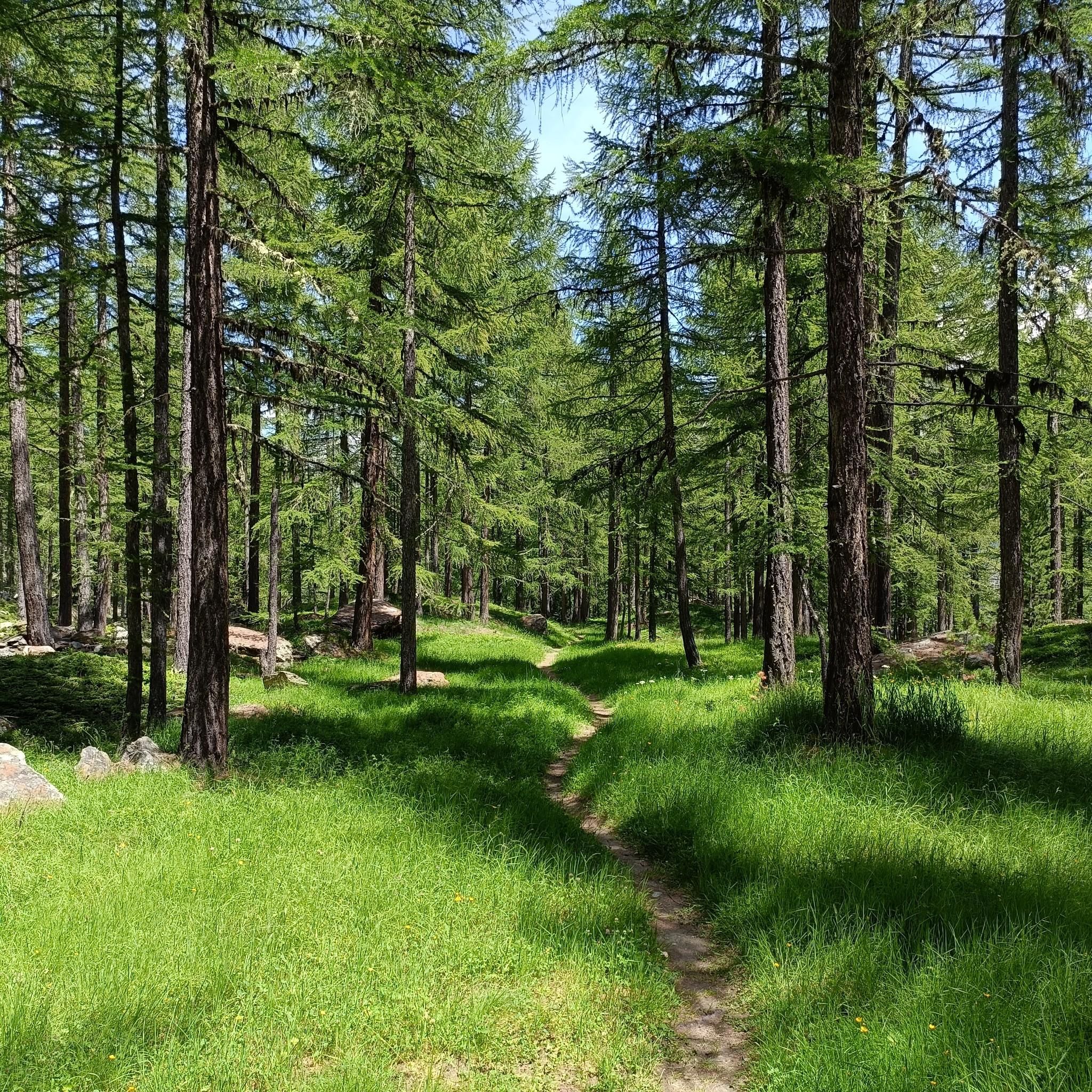
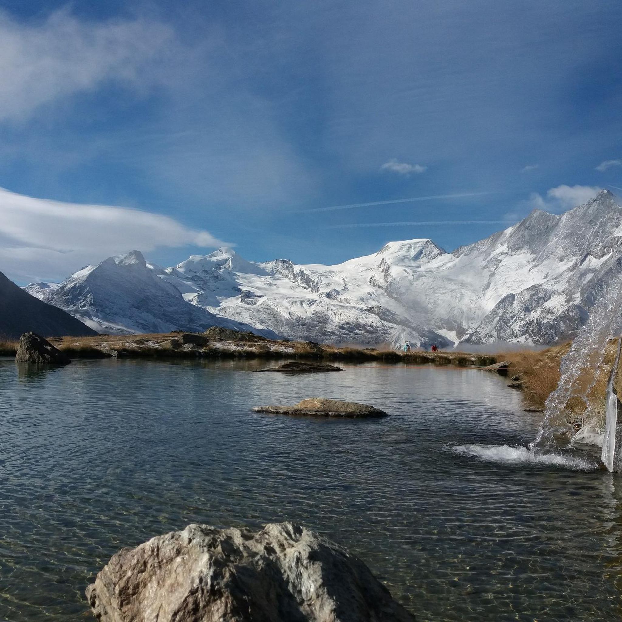
Hiking around Saas-Grund, located in the Saas Valley, provides access to a diverse network of trails set against an impressive panorama of 18 four-thousand-meter peaks. The region's terrain includes high-alpine environments with glaciers, picturesque alpine meadows, and charming larch forests. Hikers can explore dramatic natural features, from attractive waterfalls and deep gorges to tranquil glacial lakes. The area is characterized by significant elevation changes, offering varied experiences from valley walks to high-altitude paths.
Best hiking trails around Saas-Grund
- The most…
Last updated: September 26, 2026
4.8
(155)
998
hikers
10.3km
03:48
190m
900m
Moderate hike. Good fitness required. Mostly accessible paths. Sure-footedness required.
4.7
(23)
89
hikers
9.96km
03:09
100m
930m
Moderate hike. Good fitness required. Easily-accessible paths. Suitable for all skill levels.

4.8
(56)
306
hikers
21.3km
08:11
1,050m
1,050m
Hard hike. Very good fitness required. Sure-footedness, sturdy shoes and alpine experience required.
4.9
(16)
167
hikers
9.76km
03:54
720m
720m
Moderate hike. Good fitness required. Mostly accessible paths. Sure-footedness required.
5.0
(8)
115
hikers
Moderate hike. Great for any fitness level. Mostly accessible paths. Sure-footedness required.
Get access to more routes and recommendations from other explorers.
Already have an account?
Our route recommendations are based on thousands of hikes, rides, and runs completed by other people on komoot.
Start today with a free account
Your next adventure awaits.
Popular around Saas-Grund
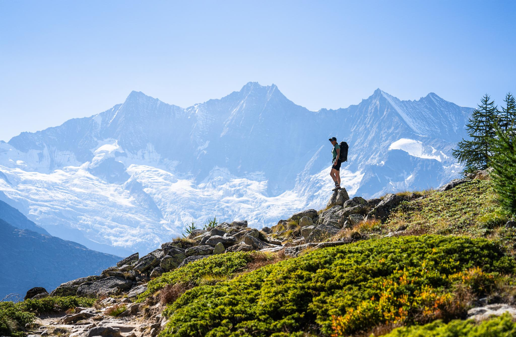
Hiking in Saas-Fee/Saastal – an arena for adventurers
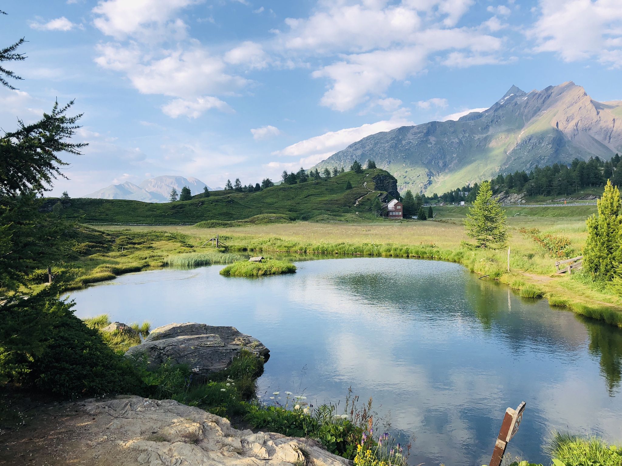
The closest place to the sun in Switzerland – multiday Tours in Valais
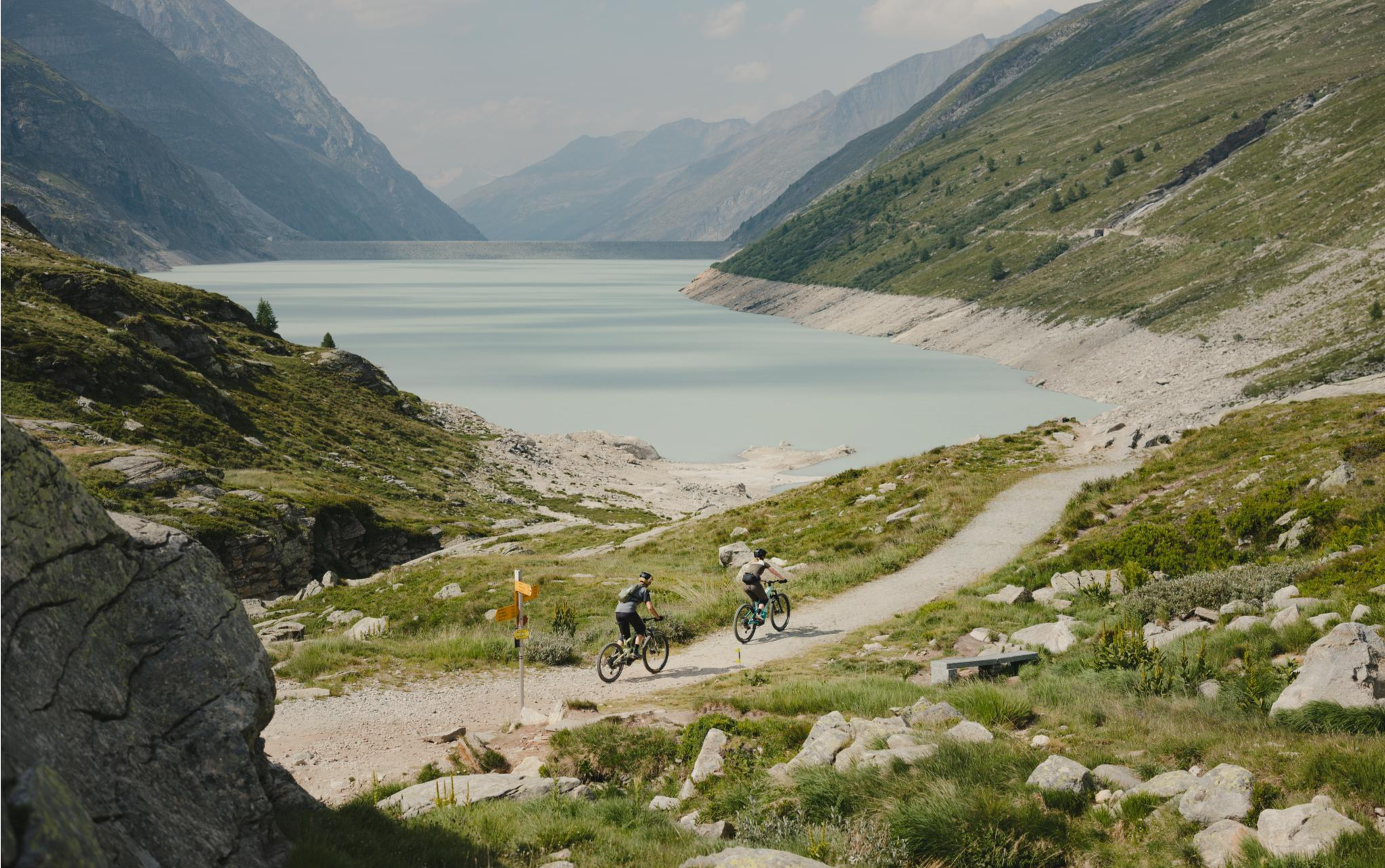
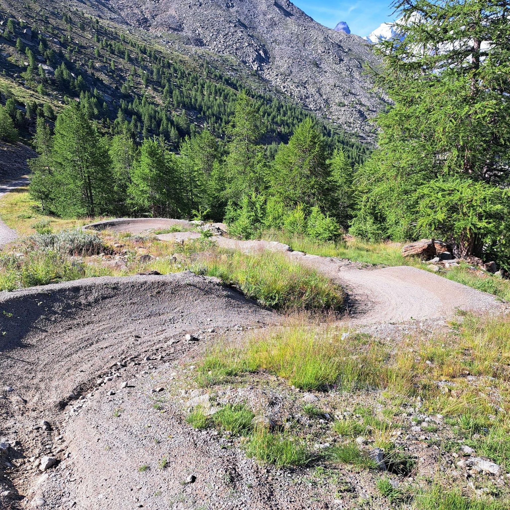
Trail magic in the Saas Valley – MTB between 4,000-metre peaks
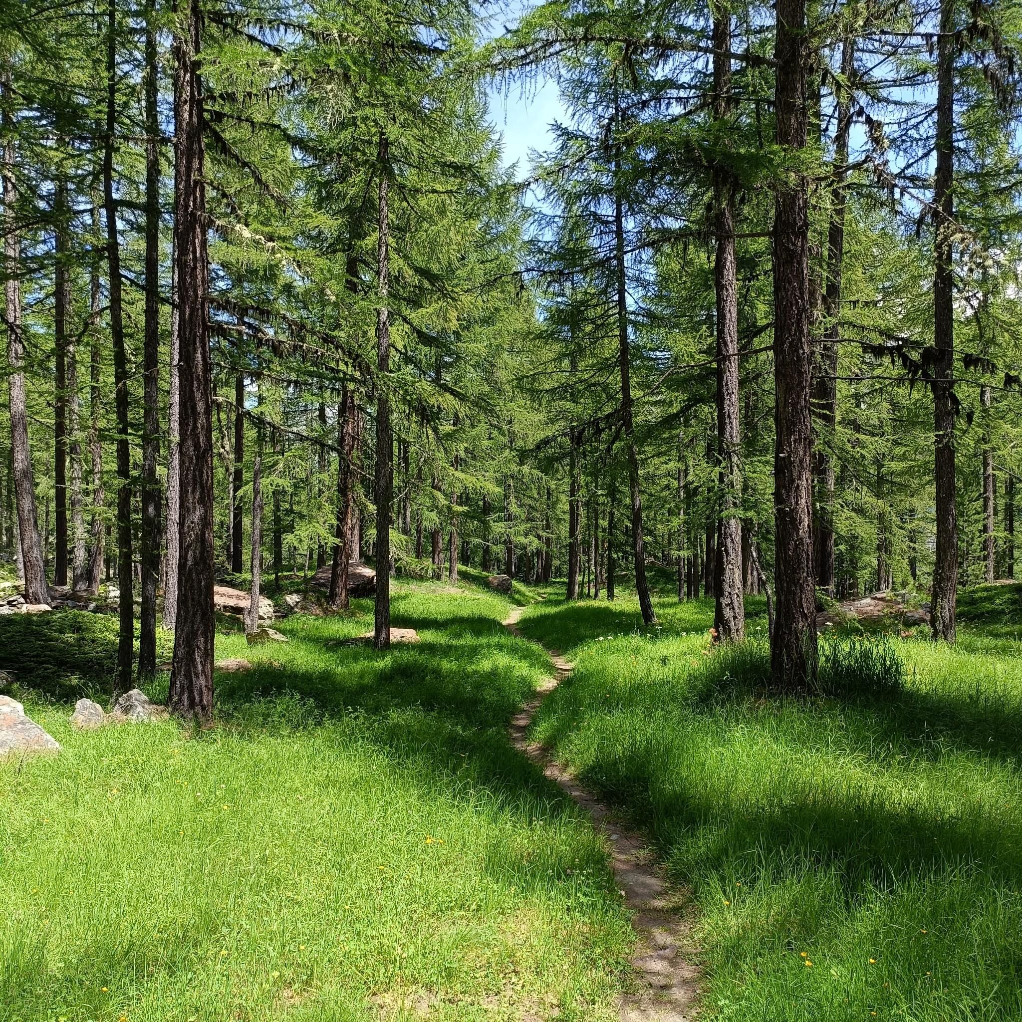
MTB Trails around Saas-Grund

Mountain Hikes around Saas-Grund
Road Cycling Routes around Saas-Grund
Cycling around Saas-Grund
Running Trails around Saas-Grund
Other adventures around Saas-Grund


Tips from the Community


Despite its size, it's a cozy mountain restaurant.
4
0


You could stay here with half board for 85ChF.
22
0
Beautiful mountain restaurant with a great view 😃.
23
0
From here it is only 50m to the summit of the Hohsaas.
17
0
From the upper mountain station, it's only about 50 meters to the summit. There's a beautiful 360° panorama from up here. There's also a bench.
18
0
Frequently Asked Questions
What kind of terrain can I expect when hiking in Saas-Grund?
Saas-Grund offers a diverse range of terrain, from high-alpine environments with glaciers and towering four-thousand-meter peaks to picturesque alpine meadows and charming larch forests. You'll encounter significant elevation changes, dramatic natural features like waterfalls and deep gorges, and tranquil glacial lakes.
Are there hiking trails suitable for all skill levels in Saas-Grund?
Yes, Saas-Grund provides a vast network of over 350 kilometers of well-marked hiking trails catering to all levels of experience. You can find everything from leisurely family strolls to demanding high-altitude and glacier treks. The komoot community has identified 11 easy, 22 moderate, and 9 difficult routes in the area.
What natural features or landmarks can I see while hiking in Saas-Grund?
The region is renowned for its impressive panorama of 18 four-thousand-meter peaks, including the Dom and the Mischabel range. You can explore glaciers like the Hohlaub and Allalin, discover alpine meadows with over 240 plant varieties, and encounter attractive waterfalls and deep gorges. Mountain lakes such as the Kreuzboden Lake also offer stunning reflections of the surrounding peaks.
Are there any specific viewpoints worth visiting in Saas-Grund?
Absolutely. The Hohsaas Panorama Platform, accessible by cable car, offers spectacular 360-degree views of the surrounding peaks at 3,200 meters above sea level. The Heimischgarte Panorama trail also provides scenic vistas throughout its route.
What do other hikers enjoy most about hiking in Saas-Grund?
The area is highly rated by the komoot community, with an average score of 4.6 stars from over 290 reviews. Hikers often praise the breathtaking alpine landscapes, the diversity of trails, and the impressive views of the four-thousand-meter peaks. Many appreciate the well-maintained paths and the accessibility to high-alpine wonders.
Are there any family-friendly hiking options in Saas-Grund?
Yes, Saas-Grund is well-suited for families. Kreuzboden, located just above Saas-Grund, serves as a starting point for many trails and features an adventure land, making it ideal for families. Many of the easier trails are perfect for leisurely family strolls.
Can I bring my dog on the hiking trails in Saas-Grund?
While specific regulations for dogs vary by trail and protected area, generally, dogs are welcome on most hiking trails in Saas-Grund, provided they are kept on a leash and owners clean up after them. It's always advisable to check local signage or specific trail information for any restrictions before heading out.
Are there any circular hiking routes in Saas-Grund?
Yes, there are several circular routes available. An example is the Almagelleralp Mountain Hotel – Almagellerhorn Adventure Trail loop from Saas-Grund, which is a challenging 21.3 km route. Another option is the shorter Weissmieshütte – Weissmies Huts loop from Jegihorn.
What is the best time of year to go hiking in Saas-Grund?
The best time for hiking in Saas-Grund is typically from late spring to early autumn (June to October), when the trails are clear of snow and the alpine meadows are in full bloom. This period offers pleasant temperatures and optimal conditions for exploring the high-alpine routes. Winter also offers opportunities for snowshoeing and other winter sports.
Is Saas-Grund accessible by public transport, and are there parking facilities?
Saas-Grund is well-connected and accessible. The region benefits from good public transport links, and the SaastalCard often includes free use of local lifts, enhancing accessibility to higher-altitude trails. Parking facilities are generally available in and around Saas-Grund, particularly near cable car stations and trailheads.
Are there any unique adventure trails in the Saas-Grund area?
Yes, the Almagell High Trail offers an exciting experience. From Kreuzbodensee via Almagelleralp to Saas-Almagell, it includes an adventure trail section with suspension bridges, narrow walkways, and ladders. The Trift Bridge also provides an adrenaline-pumping experience, stretching across a gorge with panoramic views.
Can I find trails that lead to mountain huts in Saas-Grund?
Yes, mountain huts are an integral part of the hiking experience in Saas-Grund. The Weissmieshütte, situated at 2,726 meters above sea level, is a prominent example. It offers panoramic views and serves as a base for ascents and a starting point for other trails.
Most popular attractions around Saas-Grund

Get inspired with the komoot mobile app


Explore more
Browse the best Hikes in other regions.
