The best mountain hikes around Saas-Grund
4.6
(47)
1,081
hikers
13
hikes
Mountaineering routes around Saas-Grund are set within the high alpine landscapes of the Valais canton, characterized by numerous four-thousander peaks and extensive glaciers. The region features challenging rock and ice ascents, with prominent mountains such as Weissmies, Lagginhorn, and Allalinhorn. High alpine terrain, including the Lower Trift Glacier, defines many of the routes, offering varied technical challenges. Mountain huts like the Weissmieshütte serve as strategic starting points for ascents.
Best mountaineering routes around Saas-Grund
- The most popular mountaineering route is…
Last updated: October 1, 2026
4.8
(9)
247
hikers
6.72km
06:53
1,170m
1,170m
Hard mountaineering route. Very good fitness required. Sure-footedness, sturdy shoes and alpine experience required.
5.0
(8)
180
hikers
6.00km
04:36
710m
710m
Hard mountaineering route. Good fitness required. Sure-footedness, sturdy shoes and alpine experience required.

4.9
(8)
108
hikers
12.9km
08:36
1,330m
1,330m
Hard mountaineering route. Very good fitness required. Sure-footedness, sturdy shoes and alpine experience required.
4.3
(3)
67
hikers
Hard mountaineering route. Very good fitness required. Sure-footedness, sturdy shoes and alpine experience required.
5.0
(1)
54
hikers
4.02km
03:07
410m
410m
Hard mountaineering route. Good fitness required. Sure-footedness, sturdy shoes and alpine experience required.
Get access to more routes and recommendations from other explorers.
Already have an account?
Our route recommendations are based on thousands of hikes, rides, and runs completed by other people on komoot.
Start today with a free account
Your next adventure awaits.
Popular around Saas-Grund
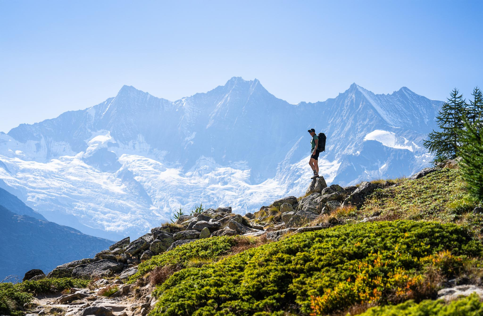
Hiking in Saas-Fee/Saastal – an arena for adventurers
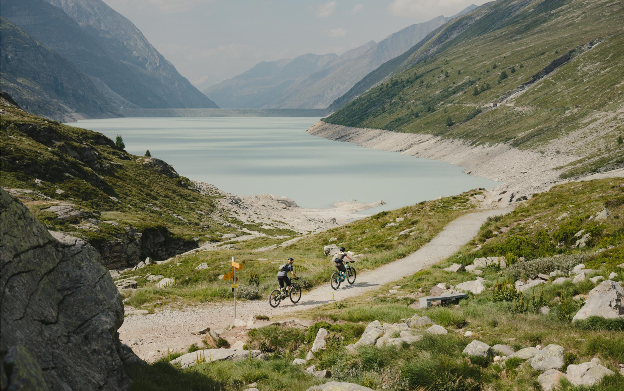
Trail magic in the Saas Valley – MTB between 4,000-metre peaks
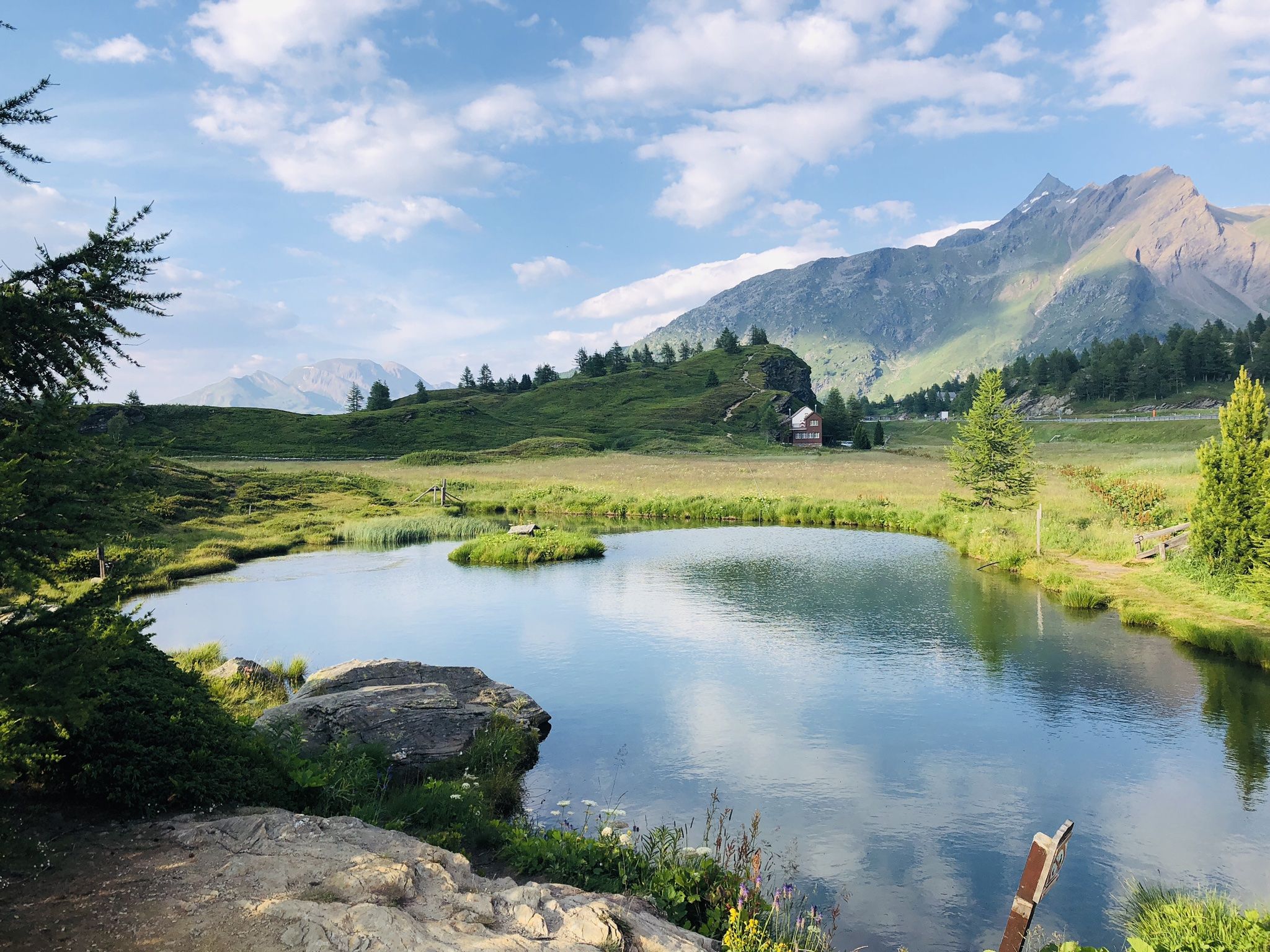
The closest place to the sun in Switzerland – multiday Tours in Valais
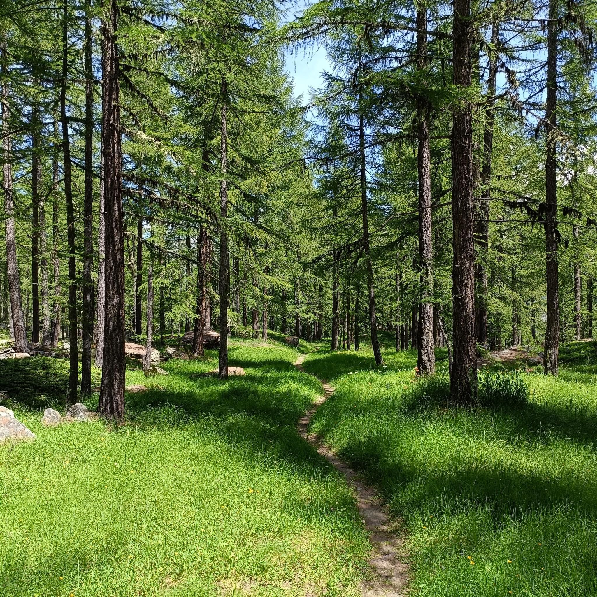
Hiking around Saas-Grund
MTB Trails around Saas-Grund
Road Cycling Routes around Saas-Grund
Cycling around Saas-Grund
Running Trails around Saas-Grund
Other adventures around Saas-Grund


Tips from the Community

Despite its size, it's a cozy mountain restaurant.
4
0

A long suspension bridge on the Jegihorn via ferrata, which can only be crossed if you've opted for the more difficult version of the climb (K4/K5) a few meters in advance. If you take the easier version, the trail doesn't cross the rope bridge.
0
0

The Weissmies is the highest peak of the Weissmies/Lagginhorn/Fletschhorn trio. It is listed on the new maps at only 4017 m; previously, the elevation was given as 4023 m. The six meters of elevation loss is due to the melting of the summit cap, which is made entirely of ice. In return, the secondary peak to the southeast of the highest point (formerly P. 3965) has been upgraded by seven meters to 3972 m.
0
0

When visibility is good, the summit of the Weissmies at 4,013 meters offers a magnificent view of the two other peaks of the Weissmies Group (Fletschhorn and Lagginhorn), as well as the Mischabel Group (with the Dom as its highest point) on the other side of the valley. However, during our ascent, we could see... nothing (fog).
1
1
The lower Trift Glacier is melting and is still relatively flat. Further up the mountainside, seracs hang menacingly over the path...
1
0

You could stay here with half board for 85ChF.
22
0
Beautiful mountain restaurant with a great view 😃.
23
0
From here it is only 50m to the summit of the Hohsaas.
17
0
Frequently Asked Questions
How many mountaineering routes are available around Saas-Grund?
Saas-Grund offers a comprehensive network of over 10 mountaineering routes, primarily catering to experienced climbers seeking challenging high alpine adventures. These routes navigate through stunning landscapes featuring four-thousander peaks and extensive glaciers.
What kind of difficulty can I expect on mountaineering routes in Saas-Grund?
The mountaineering routes around Saas-Grund are predominantly difficult, involving challenging rock and ice ascents. For instance, the Weissmieshütte – Lagginhorn Summit loop from Jegihorn is a difficult 6.8 km route that takes nearly 7 hours to complete, offering a high alpine ascent to a prominent summit.
Are there any routes suitable for beginners or those looking for a less strenuous mountaineering experience?
While most routes are classified as difficult, Saas-Grund is known for peaks like Lagginhorn and Weissmies being considered excellent 'starter' 4,000-meter climbs. However, these still require significant experience and proper gear. The region also offers via ferratas, such as the Jägihorn, which provide a thrilling climbing experience with breathtaking views, though they are also challenging.
What are some notable natural features or landmarks I might encounter on these routes?
Mountaineering in Saas-Grund immerses you in a landscape of majestic four-thousander peaks, extensive glaciers like the Lower Trift Glacier, and diverse alpine flora. You might also encounter crystal-clear glacier water, bubbling mountain springs, and hidden waterfalls. For example, you can find highlights like the Fellbachfall Waterfall or the Almagellerbach Waterfall in the broader region.
Are there any circular mountaineering routes in the area?
Yes, many routes are designed as loops, allowing you to start and finish at the same point. An example is the Weissmieshütte – Lower Trift Glacier loop from Jegihorn, an 8.1-mile (13.0 km) difficult trail that takes approximately 8 hours 37 minutes to complete, leading through high alpine glacier terrain.
What is the typical duration for mountaineering tours around Saas-Grund?
The duration of mountaineering tours in Saas-Grund varies depending on the route's length and difficulty. Most difficult routes can take anywhere from 3 to over 8 hours. For instance, the Weissmieshütte – Jegihorn Summit loop from Jegihorn is a 4.1 km route typically completed in just over 3 hours.
What do other mountaineers say about the routes in Saas-Grund?
The mountaineering routes in Saas-Grund are highly regarded by the komoot community, boasting an average rating of 4.7 stars from over 40 reviews. Mountaineers frequently praise the challenging high alpine terrain, the stunning panoramic views of the 18 four-thousander peaks, and the true mountaineering experience offered by the glaciers and rock ascents.
Are there specific mountain huts that serve as good starting points for ascents?
Yes, strategically located mountain huts are excellent starting points. The Weissmies Hut, for example, is a common base for ascents to peaks like Weissmies and Lagginhorn. The Mischabelhütte is also one of the highest huts in Switzerland, offering stunning panoramic views and access to challenging climbs.
What is the best time of year for mountaineering in Saas-Grund?
The high alpine environment of Saas-Grund means that the best time for mountaineering is typically during the summer months when conditions are most favorable, and the routes are more accessible. However, specific conditions can vary, and it's always essential to check local weather and trail reports before heading out.
What kind of gear is recommended for mountaineering in this region?
Given the high alpine terrain, glaciers, and rock and ice ascents, appropriate mountaineering gear is essential. This typically includes crampons, ice axes, ropes, helmets, and suitable clothing for varying weather conditions. For routes involving via ferratas, a via ferrata set is also necessary.
Can I find routes that involve snowfield crossings?
Yes, the region's extensive glaciers and high alpine environment mean that some routes include snowfield crossings. The Lagginhorn Summit – Snowfield Crossing in Valais loop from Triftgletscher is a difficult 7.1 km route that takes about 6 hours 20 minutes and features such terrain.
Most popular attractions around Saas-Grund

Get inspired with the komoot mobile app


Explore more
Browse the best Mountain Hikes & Routes in other regions.
