The best walks and hikes around Alta Val Tidone
4.4
(838)
3,068
hikers
19
hikes
Hiking around Alta Val Tidone offers diverse natural beauty within the hills of Emilia-Romagna, Italy. The region is characterized by picturesque hills adorned with varied bushes and extensive vineyards, alongside the defining course of the Tidone River. Key natural landmarks include the Diga del Molato and Lake Trebecco, as well as the prominent Pietra Parcellara, often referred to as the "Matterhorn of Valtrebbia." The landscape provides a blend of natural features and traditional agricultural practices.
Best hiking trails around Alta…
Last updated: July 7, 2026
4.8
(5)
12
hikers
Hard hike. Very good fitness required. Mostly accessible paths. Sure-footedness required.
5.0
(1)
1
hikers
7.28km
02:21
310m
310m
Moderate hike. Good fitness required. Easily-accessible paths. Suitable for all skill levels.

Sign up for free
3
hikers
26.8km
08:01
830m
830m
Hard hike. Very good fitness required. Easily-accessible paths. Suitable for all skill levels.
5.0
(2)
2
hikers
20.8km
06:26
780m
780m
Hard hike. Very good fitness required. Easily-accessible paths. Suitable for all skill levels.
20.8km
07:01
1,090m
1,090m
Hard hike. Very good fitness required. Easily-accessible paths. Suitable for all skill levels.
Get access to more routes and recommendations from other explorers.
Sign up for free
Already have an account?
Our route recommendations are based on thousands of hikes, rides, and runs completed by other people on komoot.
Start today with a free account
Your next adventure awaits.
Login or Signup


Tips from the Community

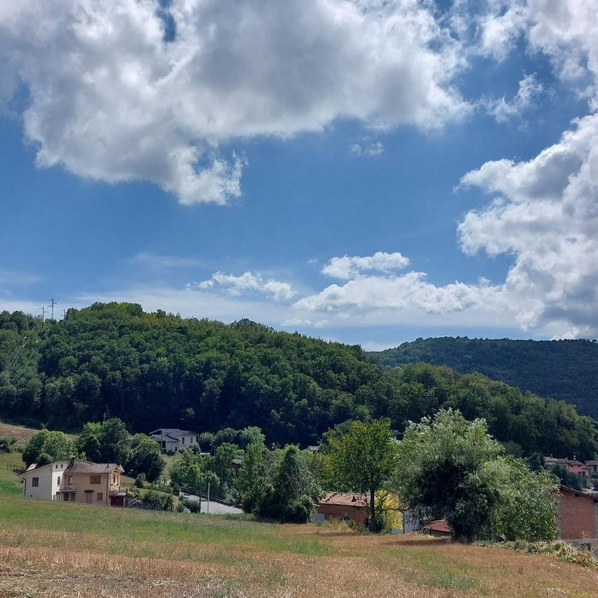
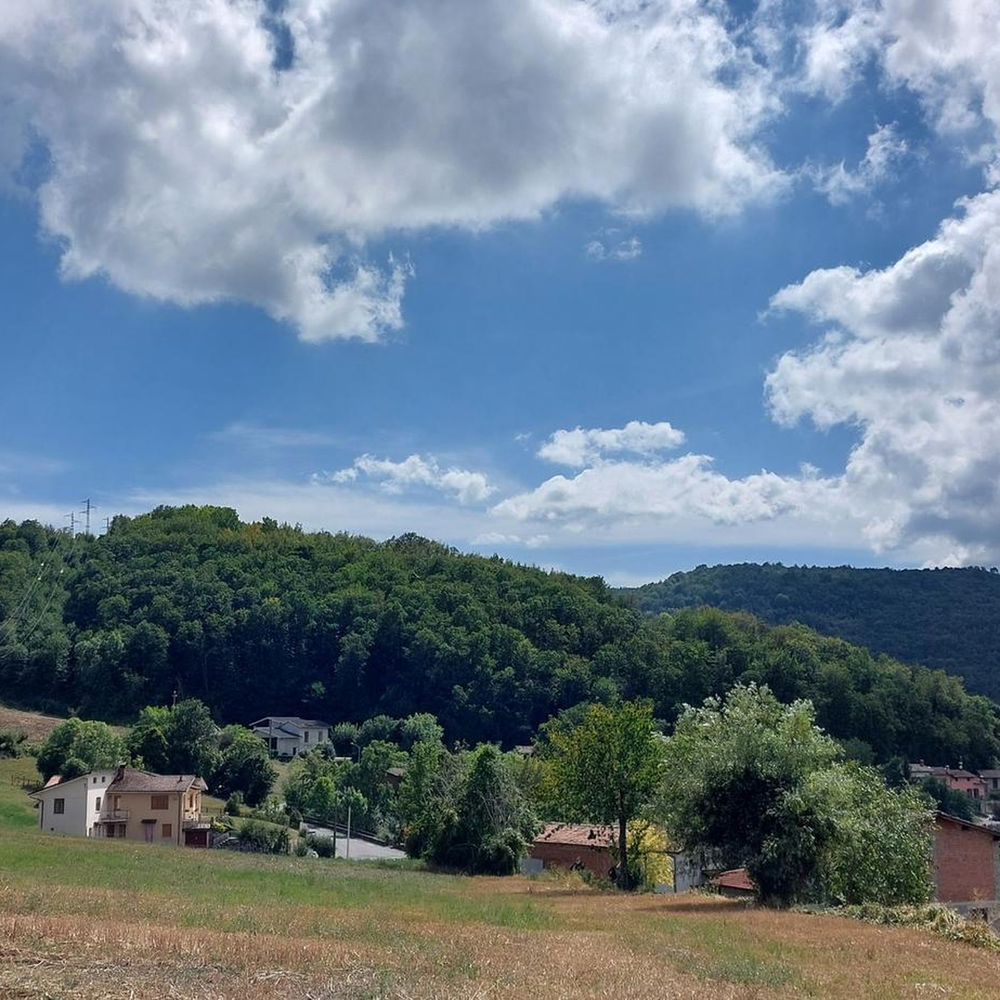
Hilltop from which various uphill trails start on Mount Ciariello
0
0


Rocca D'Olgisio from Cà del Diavolo
0
0

This pass of Mount Pan Perduto offers exposed terrain that allows for pleasant views. A short climb from here takes you out into the open along a steep dirt road, up to the nearby peak of Pan Perduto, which sits at an altitude of 1,065 metres. From the rocks of this peak, emerging from the large expanse of surrounding trees, an extensive panorama opens up that embraces the mountains that surround the Bobbio basin. Further away, along the ridge that extends towards the Nure valley, Mount Aserei is visible. Towards the south it is easy to spot Mount Penice and, on the horizon, Mount Alfeo. Looking towards the Oltrepò Pavese you can recognize Romagnese and Mount Calenzone.
3
0
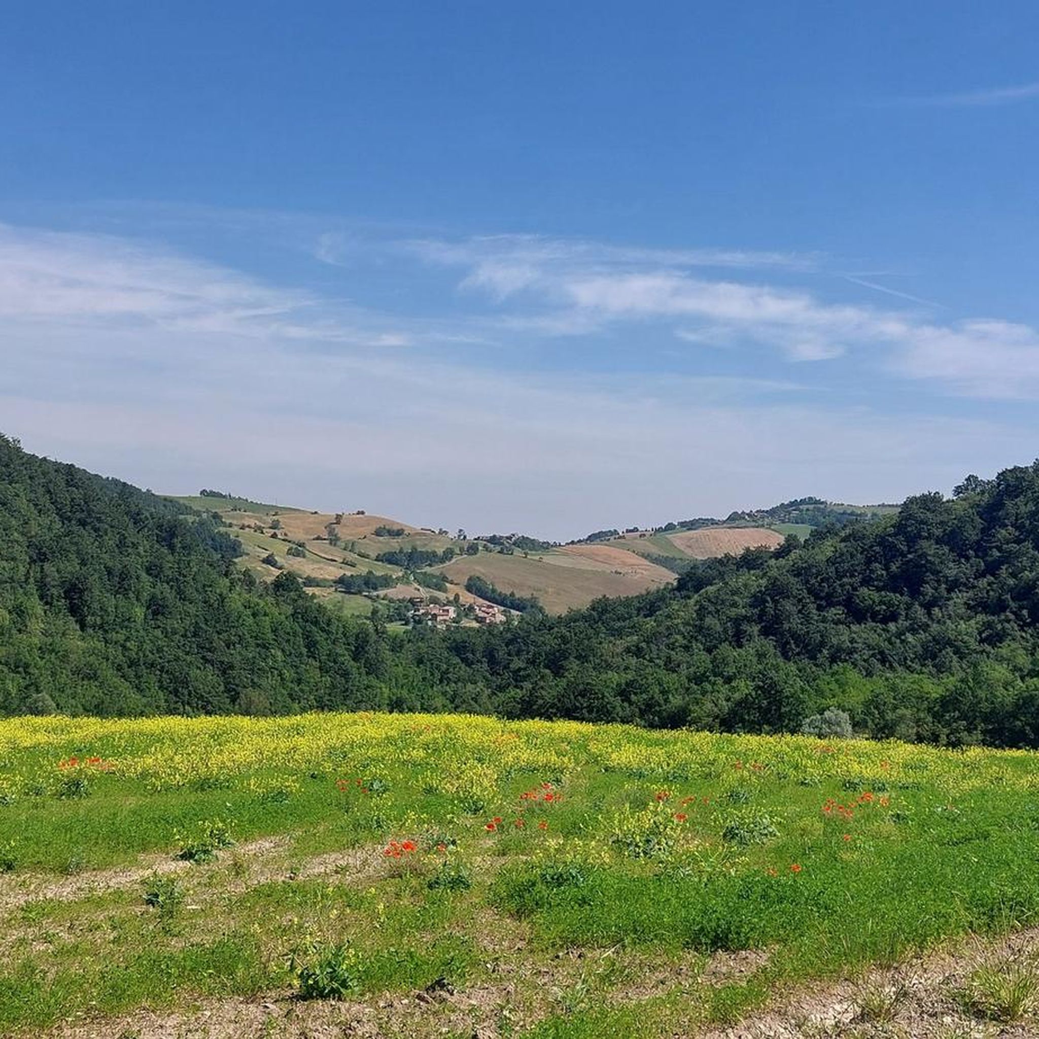
This small bridge offers a pleasant view of the stream. Val Tidone is a narrow valley that extends across Emilia-Romagna and Lombardy, following the course of the Tidone stream from its source on Mount Penice to its confluence with the Po. If you want to explore this area, there is an official route: the Sentiero del Tidone. This path will take you to the beautiful Trebecco lake, not far from here.
1
0

Passo Ca' del Diavolo is an Apennine pass between Val Tidone and Val Tidoncello.
3
0
From here it is possible to see the fortified village of Rocca d'Olgisio among the hills.
2
0
Monte Aldone is a peak, located in Val Tidone, of the Ligurian Apennines that reaches 810 m above sea level.
2
0
Frequently Asked Questions
How many hiking trails are available in Alta Val Tidone?
Alta Val Tidone offers a diverse network of over 15 hiking trails. These routes cater to various skill levels, including 1 easy, 9 moderate, and 6 difficult trails, ensuring options for every hiker.
What kind of terrain can I expect on hikes in Alta Val Tidone?
The terrain in Alta Val Tidone is characterized by picturesque rolling hills, extensive vineyards, and the valley carved by the Tidone River. You'll find a blend of natural features and traditional agricultural landscapes, with some routes leading to mountain peaks like Pietra Parcellara, offering impressive panoramic views.
Are there any family-friendly hiking options in Alta Val Tidone?
Yes, Alta Val Tidone offers excursions suitable for all difficulty levels. While specific family-friendly routes are not detailed, the presence of easy and moderate trails suggests suitable options. The varied landscape, including the Diga del Molato and Lake Trebecco, can provide engaging experiences for families.
What are some notable natural landmarks or viewpoints to see while hiking?
Hikers can explore several natural landmarks and enjoy stunning viewpoints. Key sites include the Diga del Molato and Lake Trebecco. The prominent Pietra Parcellara, often called the 'Matterhorn of Valtrebbia,' provides impressive panoramic views from its summit. You might also encounter natural caves scattered throughout the landscape.
Are there any historical sites or castles accessible via hiking trails?
Absolutely. The region is rich in history. You can hike to Rocca d'Olgisio, an ancient fortress offering breathtaking views over the valley. Other castles in the area include Rezzanello Castle and Rocca di Pianello Val Tidone, which add a historical dimension to your outdoor adventures.
What is the best time of year to go hiking in Alta Val Tidone?
Alta Val Tidone is appealing in every season due to its diverse natural beauty and traditional agricultural practices. Autumn is particularly vibrant, as the extensive vineyards display rich colors, making it a beautiful time for hiking. Spring also offers lush greenery and pleasant temperatures.
Are there any circular hiking routes in Alta Val Tidone?
Yes, there are circular routes available. For example, the Loop hike in Val Tidone: from Pecorara towards Monte Aldone and Rocca d'Olgisio is a challenging 18.3 km loop that takes about 6 hours to complete and offers panoramic views from the historic Rocca d'Olgisio.
What do other hikers enjoy most about the trails in Alta Val Tidone?
The trails in Alta Val Tidone are highly rated by the komoot community, with an average score of 4.4 stars from over 700 reviews. Hikers often praise the diverse natural beauty, the blend of rolling hills and vineyards, and the engaging experiences offered by routes leading to historical sites and scenic viewpoints.
Are there any long-distance hiking trails or segments in the area?
Yes, Alta Val Tidone is home to segments of longer trails. A notable example is Via degli Abati: Stage 3, a difficult 26.8 km path that traverses varied terrain, providing a challenging experience through the valley as part of a larger pilgrimage route.
Can I find trails that lead to higher elevations or mountain views?
Certainly. Trails like From Passo della Caldarola to Pietra di Corvo (via Trail 101) lead through mountainous landscapes towards Pietra di Corvo, offering opportunities for higher elevation hiking and expansive views.
Is there a specific trail that follows the Tidone River?
Yes, the Sentiero del Tidone (Tidone Trail) is a major highlight for hikers. This extensive 69-kilometer trail follows the Tidone stream from its origin, presenting diverse and captivating natural environments. It's accessible for walking, cycling, or horseback riding, allowing you to explore the valley floor.
Are there any trails that showcase the agricultural heritage of the region?
Yes, the historical 'Mill Road' is an excellent way to experience the region's agricultural heritage. This route features dozens of mills, some dating back to the 11th century, offering a glimpse into the traditional practices that have shaped Alta Val Tidone.
Most popular routes around Alta Val Tidone
Most popular attractions around Alta Val Tidone

Get inspired with the komoot mobile app


Explore more
Browse the best Hikes in other regions.
