The best walks and hikes around Corte Brugnatella
4.4
(1100)
4,447
hikers
19
hikes
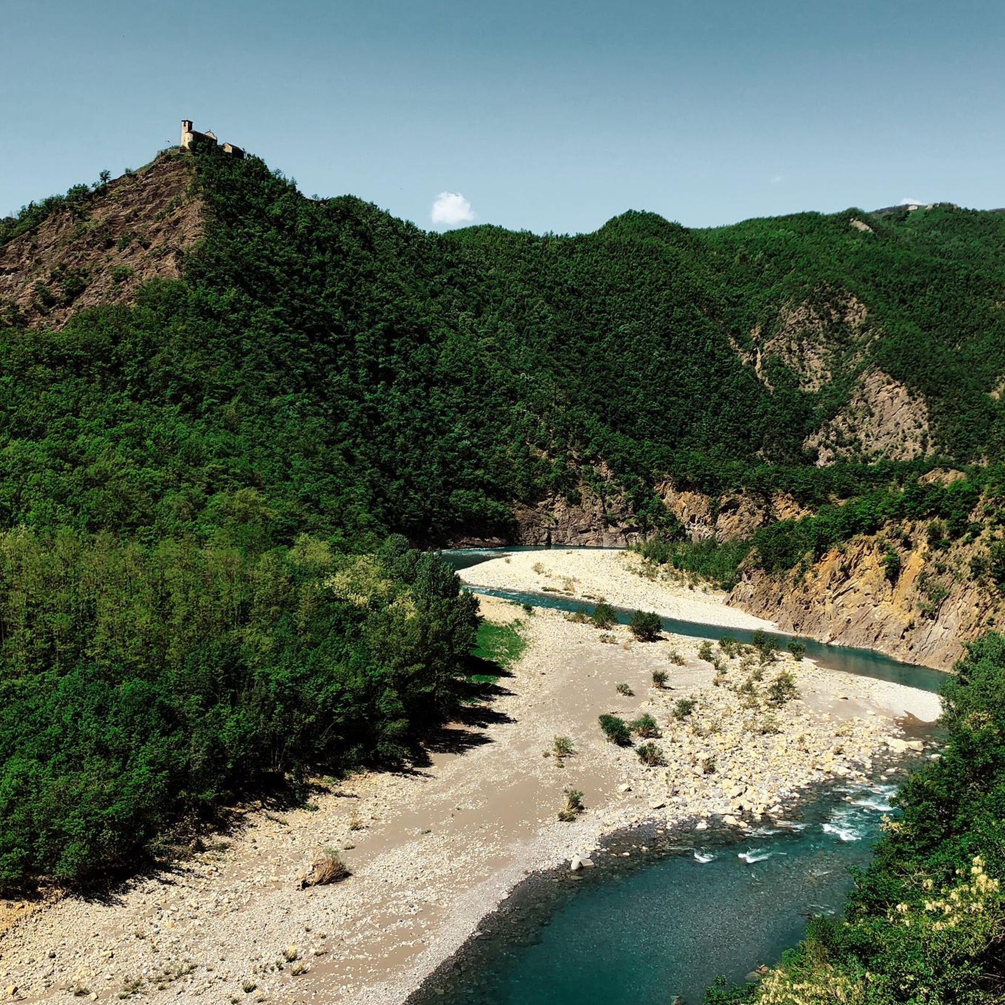
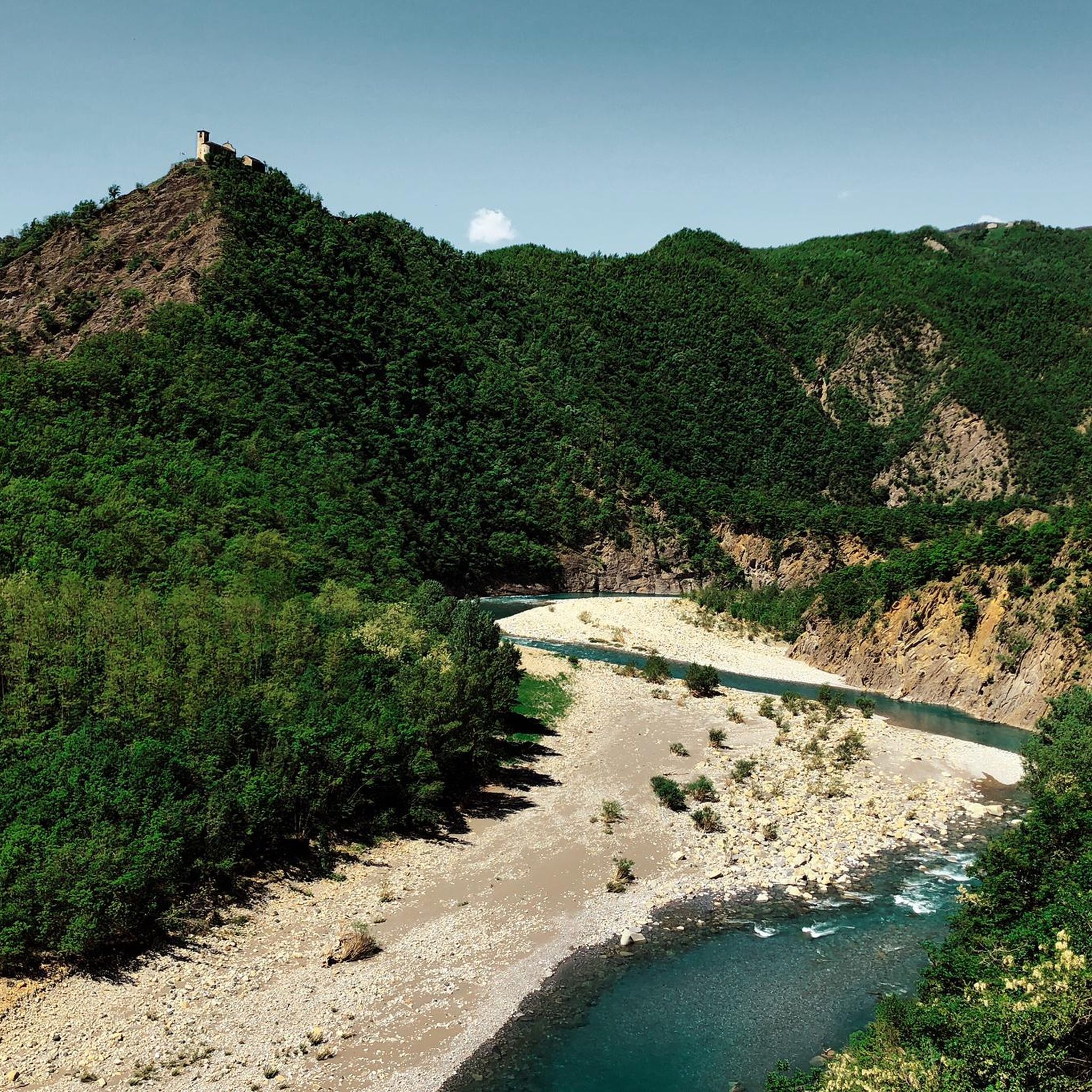
Hiking around Corte Brugnatella offers diverse landscapes within Italy's Emilia-Romagna region, situated in the Alta Val Trebbia of the Ligurian Apennines. The area is characterized by the Trebbia River, which carves canyons and meanders through the mountains, alongside cultivated hills, forests, and pastures. Geological features include impressive ophiolitic formations. This varied terrain provides a range of hiking experiences.
Best hiking trails around Corte Brugnatella
- The most popular hiking route is Trail to Metteglia from Marsaglia, a 9.8 miles (15.8…
Last updated: July 7, 2026
2.3
(3)
4
hikers
15.8km
05:41
960m
960m
Hard hike. Very good fitness required. Easily-accessible paths. Suitable for all skill levels.
1
hikers
7.02km
02:18
320m
320m
Moderate hike. Good fitness required. Easily-accessible paths. Suitable for all skill levels.

Sign up for free
6.27km
01:51
180m
180m
Easy hike. Great for any fitness level. Easily-accessible paths. Suitable for all skill levels.
4.2
(10)
41
hikers
14.4km
04:30
540m
540m
Moderate hike. Good fitness required. Easily-accessible paths. Suitable for all skill levels.
4.6
(5)
29
hikers
6.18km
01:46
140m
140m
Easy hike. Great for any fitness level. Easily-accessible paths. Suitable for all skill levels.
Get access to more routes and recommendations from other explorers.
Sign up for free
Already have an account?
Our route recommendations are based on thousands of hikes, rides, and runs completed by other people on komoot.
Start today with a free account
Your next adventure awaits.
Login or Signup
Tips from the Community


Beautiful view of Lesima and Alfeo
0
0
Unmarked and impervious waterfalls. Not recommended
0
0
One of the top places in the province
0
0
Very nice. The ghost town of Prietranera is also cute
0
0
Frequently Asked Questions
What kind of terrain can I expect on hikes around Corte Brugnatella?
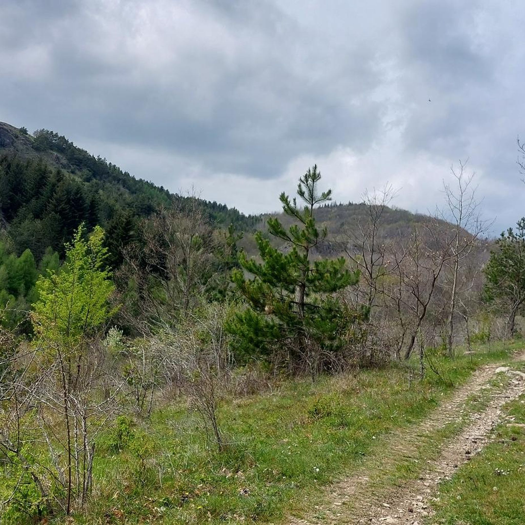
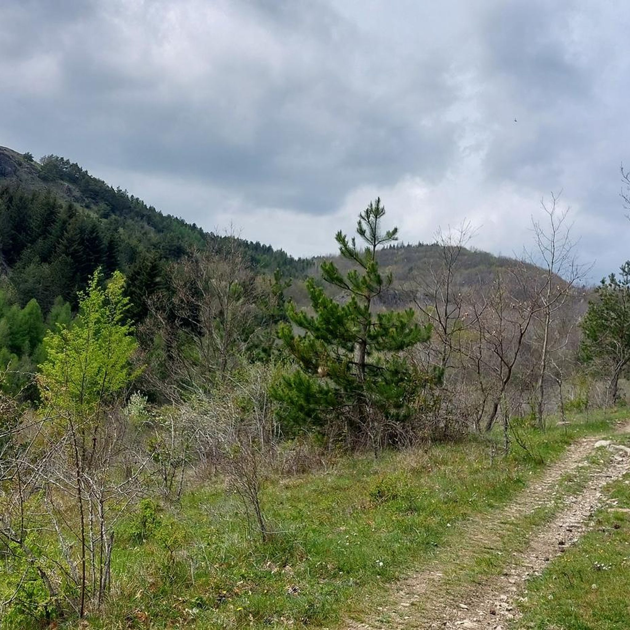
Hiking around Corte Brugnatella offers a diverse landscape. You'll find trails carving through the Trebbia River valley, which features impressive canyons and picturesque meanders. The region also includes cultivated hills, lush forests, and pastures. Some areas, like Carana and Pietranera, even showcase unique ophiolitic rock formations, adding to the geological interest.
Are there any easy hiking options suitable for beginners or casual walkers?
Yes, Corte Brugnatella has options for all skill levels. For an easier experience, consider the Wild Horses of Monte Aserei Trail (Route 137A), which is 3.9 miles (6.3 km) and leads through open pastures and hills. Another gentle option is the Brugnello loop from Corte Brugnatella, an easy 6.1 km route.
Can I find challenging hikes in the Corte Brugnatella area?
Absolutely. For those seeking a more strenuous adventure, the region offers several difficult trails. A notable challenging route is the Trail to Metteglia from Marsaglia, a 9.8-mile (15.8 km) hike with significant elevation gain through mountainous terrain.
Are there any circular hiking routes available?
Yes, there are several circular routes. For example, the Brugnello – Oratory of Saint Anna loop from Corte Brugnatella is a moderate 11.9 km circular hike. The easier Brugnello loop from Corte Brugnatella is also a circular option, perfect for a shorter walk.
What natural features or landmarks can I see while hiking?
The Trebbia River is a dominant feature, with its impressive canyons and meanders, especially near San Salvatore where they form the striking 'elephant' shape known as Surus. You can also visit the medieval village of Brugnello, perched on a rocky spur, offering stunning views of the Trebbia River's loops from behind the Church of Santi Cosma e Damiano. For panoramic views, consider trails leading towards Monte Lesima.
Are there any waterfalls or swimming spots along the trails?
Yes, the region is known for its natural water features. The Trebbia River itself boasts beautiful beaches and deep pools, ideal for swimming during warmer months. Additionally, you can find waterfalls such as the Perino Waterfalls and Carlone Waterfall, which are popular highlights in the area.
What is the best time of year to go hiking in Corte Brugnatella?
The region is particularly enchanting in autumn, offering mild climates and an abundance of mushrooms and chestnuts. During warmer months, the Trebbia River provides opportunities for swimming and other water activities, making it a great summer destination for hikers who also enjoy cooling off.
Is Corte Brugnatella suitable for family-friendly walks?
Yes, the area offers a range of trails, including easier options that are suitable for families. The diverse landscape, with its river access and charming villages like Brugnello, provides engaging experiences for all ages. Shorter, less strenuous routes are available for those with children.
What do other hikers say about the trails in Corte Brugnatella?
The routes in Corte Brugnatella are highly rated by the komoot community, with an average score of 4.4 stars from over 600 reviews. Hikers often praise the varied terrain, from river valleys to forests and hills, and the stunning panoramic views, particularly from elevated points like Brugnello.
Are there any trails that lead through dense forests?
Yes, the region features lush, unspoiled forests. A good example is the Forest trail to Rossa Village (via Trail 137A), a moderate 4.4-mile (7.0 km) path that leads through dense woodlands, offering a shaded and scenic experience.
Where can I find parking for hiking trails in Corte Brugnatella?
Marsaglia, as the main administrative center, serves as a hub for various excursions and is a good starting point for many hikes, likely offering parking facilities. Many trails also connect surrounding hamlets, so checking specific trailheads for local parking options is advisable.
Most popular attractions around Corte Brugnatella

Get inspired with the komoot mobile app


Explore more
Browse the best Hikes in other regions.
