The best MTB trails around Gianico
4.4
(1000)
6,547
riders
147
rides
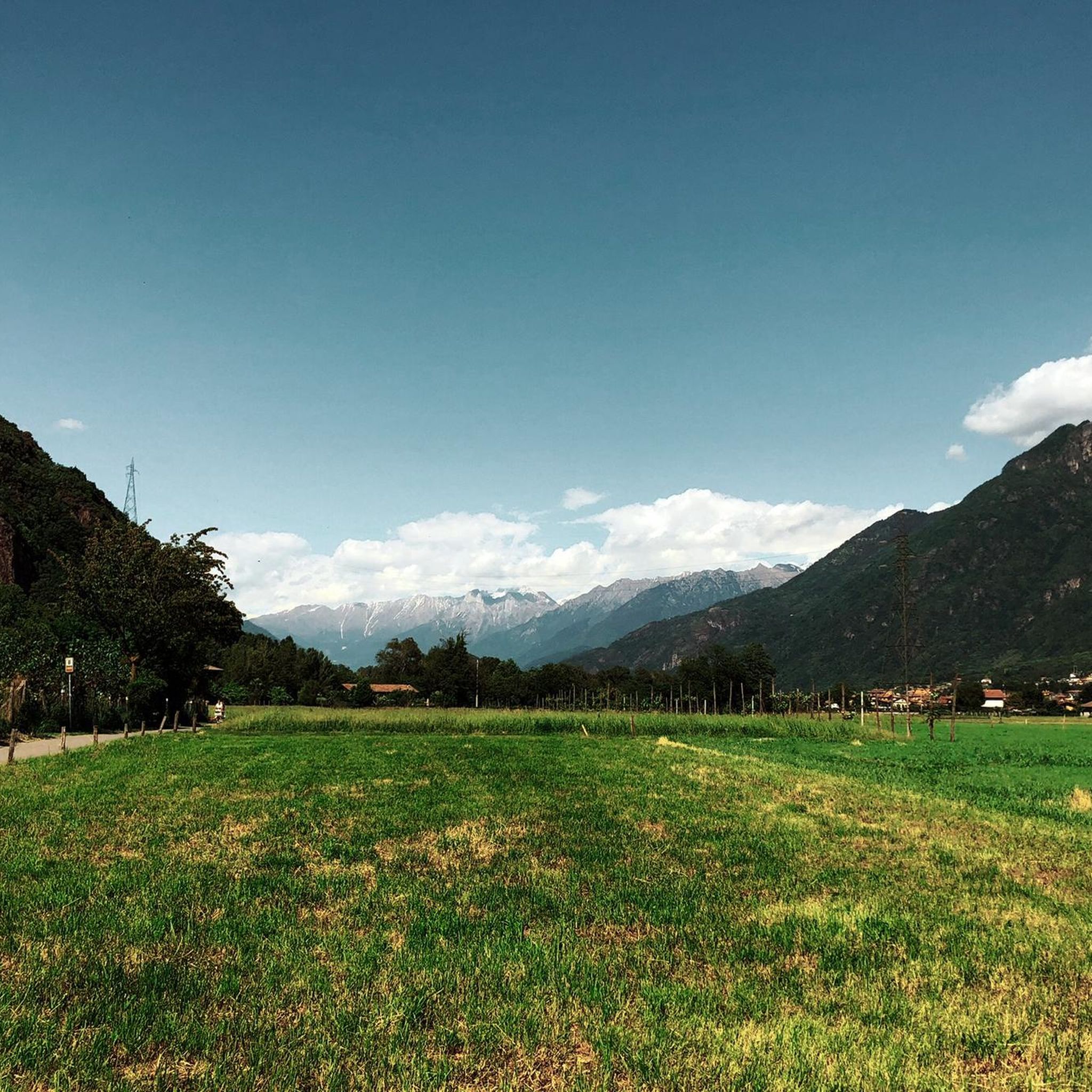
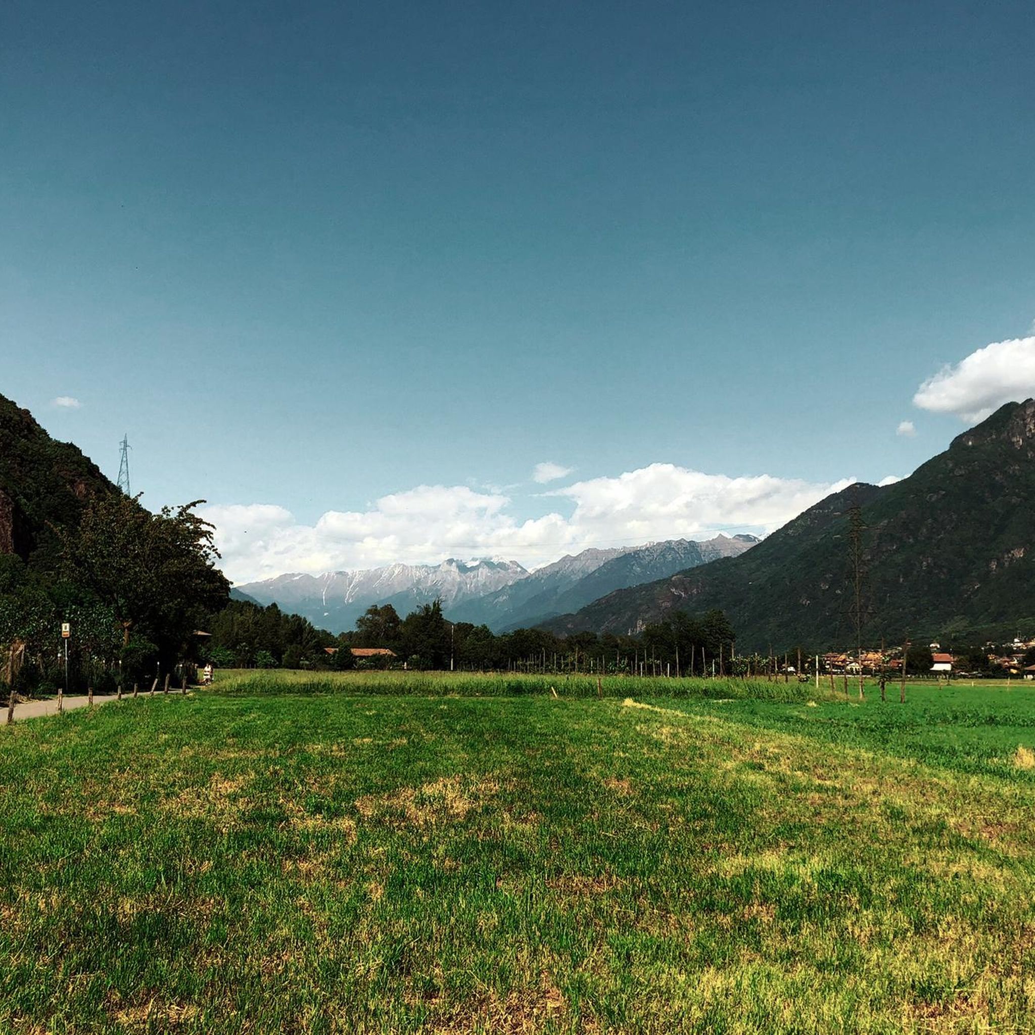
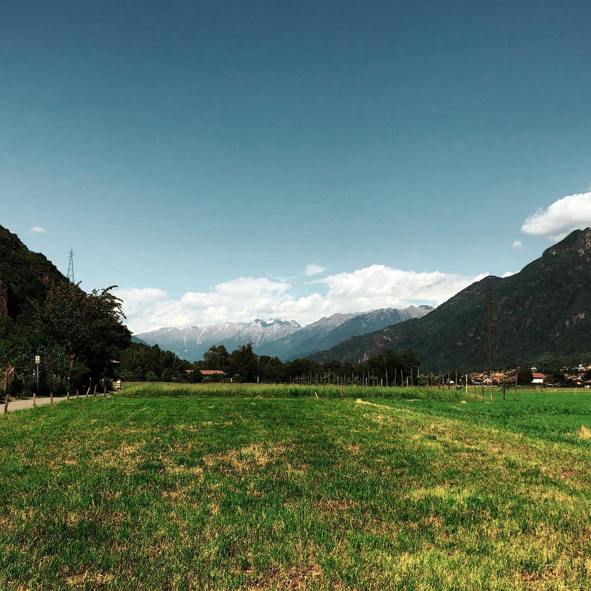
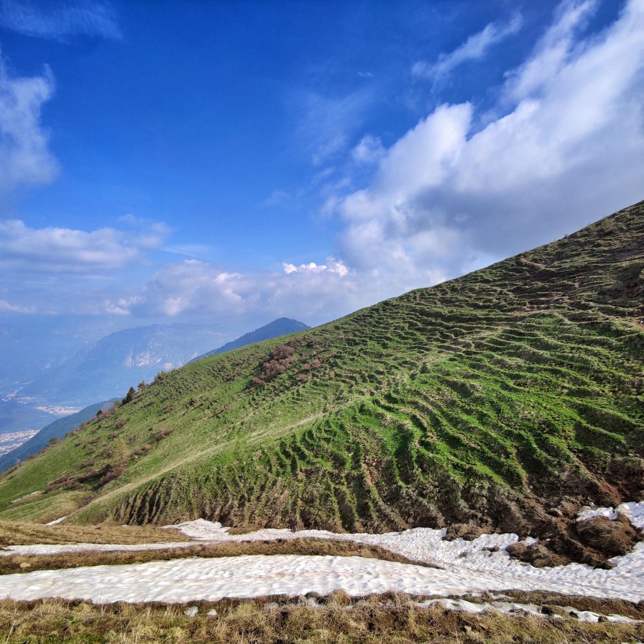
Mountain biking around Gianico offers diverse mountainous terrain within Val Camonica, characterized by varied elevations and natural features. The region includes numerous mountain passes and valleys, providing a range of challenges for mountain bikers. This landscape features significant climbs and descents, with routes winding through different elevations, including singletracks, mule tracks, and dirt roads. The nearby Parco dell'Adamello also provides an extensive backdrop of mountains, peaks, and ridges.
Best mountain bike trails around Gianico
- The most popular mountain bike trail…
Last updated: October 9, 2026
1.0
(3)
3
riders
12.9km
01:30
650m
650m
Moderate mountain bike ride. Good fitness required. Suitable for all skill levels.
4.5
(8)
72
riders
35.5km
02:00
140m
140m
Moderate mountain bike ride. Good fitness required. Suitable for all skill levels.

4.0
(1)
33
riders
25.8km
02:46
1,040m
1,040m
Hard mountain bike ride. Very good fitness required. Advanced riding skills necessary.
5.0
(2)
20
riders
25.0km
02:13
720m
720m
Moderate mountain bike ride. Good fitness required. Suitable for all skill levels.
21
riders
20.0km
01:38
520m
520m
Moderate mountain bike ride. Good fitness required. Suitable for all skill levels.
Get access to more routes and recommendations from other explorers.
Already have an account?
Our route recommendations are based on thousands of hikes, rides, and runs completed by other people on komoot.
Start today with a free account
Your next adventure awaits.
Tips from the Community

Truly unexpected. The short paved road near the small lake is very steep and very narrow, but worth it.
0
0

The Ciclovia dell'Oglio is an excellent cycle touring route of 282 kilometers that entirely follows the course of the Oglio river, connecting the mountains of Lombardy to the Po Valley. Considered the "most beautiful cycle path in Italy" (title received at the Italian Green Road Award 2019), it has a total negative elevation difference of almost 1,862 meters, starting from 1,883 meters at the Passo del Tonale to reach 21 meters of the Po at San Matteo delle Chiaviche. The route is 80% asphalt and 20% compact dirt road and is ideal for gravel, trekking, or e-bikes.
0
0

square kept fairly well
0
0
Years of collaboration between organizations distributed along the Oglio River, the "backbone" of the route, have led to the development of a route approximately 280 km long that crosses Lombardy from north to south, crossing the provinces of Brescia, Bergamo, Cremona, and Mantua. The start is at the Tonale Pass, at an altitude of 1,883 meters in the heart of the Adamello Park mountains, while the finish is at an altitude of 21 meters, at the Ponte di Barche in San Matteo delle Chiaviche: the elevation gain is 1,862 meters along a route that is 80% asphalt and 20% dirt. The prestigious recognition of “most beautiful cycle path in Italy” for 2019 was awarded by the jury of experts of the Italian Green Road Award, presented in February 2019 during the Cosmobike Show event, held at the Verona Fair.
0
0
Pastry shop and lots of kindness
0
0
Along the Oglio cycle path there are many benches placed in strategic positions
0
0

Wide bridge with a beautiful bottom and a splendid view of the Oglio
0
0
Frequently Asked Questions
How many mountain bike trails are available around Gianico?
There are over 160 mountain bike trails around Gianico, offering a wide range of options for different skill levels. The region features diverse mountainous terrain within Val Camonica, characterized by varied elevations and natural features.
What is the general difficulty level of mountain bike trails in Gianico?
The trails around Gianico cater to various skill levels. You'll find 22 easy routes, 65 moderate routes, and 75 difficult routes. The area is known for its significant climbs and descents, with options ranging from scenic loops to technically demanding paths.
Are there any family-friendly mountain bike trails near Gianico?
While many trails in Gianico feature challenging terrain, there are 22 easy routes that could be suitable for families or beginners. These trails generally have less elevation gain and technical difficulty, allowing for a more relaxed experience.
What are some notable natural features or landmarks to see while mountain biking in Gianico?
The region is rich in natural beauty. Many routes offer views of Lake Moro. You can also explore areas near mountain passes like Presolana Pass and Croce di Salven Pass, which offer spectacular panoramic views from higher elevations. The wider Val Camonica region is part of the extensive Adamello Park.
Are there any circular mountain bike routes around Gianico?
Yes, many routes around Gianico are designed as loops. A popular moderate option is the Lago Moro da Darfo Boario — Giro ad anello, which is 12.9 km long. For a more challenging loop, consider the Lago Moro – Lago Moro loop from Monti, a 24.9 km route with significant elevation.
What do other mountain bikers enjoy most about mountain biking in Gianico?
The mountain bike trails around Gianico are highly rated by the komoot community, with an average score of 4.5 stars from over 1,100 reviews. Over 7,600 mountain bikers have explored the area, often praising the diverse mountainous terrain, challenging passes, and scenic natural features.
What is the best time of year for mountain biking in Gianico?
The best time for mountain biking in Gianico is typically from spring through autumn. During these seasons, the weather is generally more favorable, and the trails are clear of snow. Higher elevation routes, especially those around 2,000 meters like the Gravel Road Between Passo Crocedomini and Passo del Maniva, are best enjoyed in the warmer months.
Are there any particularly challenging mountain bike trails for experienced riders?
Yes, Gianico offers 75 difficult routes for experienced riders. The region is known for its challenging climbs and descents. The "Sentiero dei Minatori" (Miners' Path) in the upper Trompia Valley is a famous trail known for its significant technical difficulty and exhilarating descent, suitable for well-equipped mountain bikers.
Where can I find parking for mountain biking trails in Gianico?
Parking is available at various points around the trails. For example, the Cantoniera della Presolana parking is a known spot. Many routes start from towns like Darfo Boario Terme or Monti, where public parking options are usually available.
Are there any historical or cultural points of interest along the mountain bike routes?
Some routes incorporate historical elements. The Pass of the Seven Crosses, for instance, is an ancient road with a dry stone wall and boundary markers from the 17th century, adding a unique dimension to your ride. You can also explore nearby towns like Lovere Historic Center and Lakeside Promenade or Pisogne town centre.
What is the average length and duration of mountain bike trails in Gianico?
The trails vary significantly in length and duration. For example, the moderate Lago Moro da Darfo Boario — Giro ad anello is 12.9 km and takes about 1 hour 29 minutes. More difficult routes, like the Lake Moro – Chiesetta di Anfurro loop from Monti, span 25.8 km and can take over 2 hours 45 minutes to complete.
Are there any routes that offer a mix of gravel and technical sections?
Yes, the region offers varied terrain. The Gravel Road Between Passo Crocedomini and Passo del Maniva is a light dirt road winding around 2,000 meters above sea level, connecting Maniva Pass with Crocedomini Pass. This route provides stunning views and is suitable for various bicycles, though wider tires are recommended.
Most popular attractions around Gianico

Get inspired with the komoot mobile app


Explore more
Browse the best MTB trails in other regions.
