The best walks and hikes around Gianico
4.4
(4258)
24,482
hikers
11
hikes
Hiking around Gianico offers access to the diverse landscapes of Val Camonica, a region characterized by mountainous terrain, extensive forests, and the River Oglio. Situated in the province of Brescia, Lombardy, Gianico provides a gateway to trails within the Adamello Regional Park. The area features varied ecosystems, including spruce and larch forests, with elevations ranging from valley floors to nearby peaks.
Best hiking trails around Gianico
- The most popular hiking route is Dosso Bassinaletto from Piazze Trail, a 7.4…
Last updated: October 10, 2026
5.0
(1)
8
hikers
11.8km
05:03
1,070m
1,070m
Hard hike. Very good fitness required. Easily-accessible paths. Suitable for all skill levels.
4.9
(7)
92
hikers
Moderate hike. Good fitness required. Easily-accessible paths. Suitable for all skill levels.

4.7
(16)
61
hikers
Moderate hike. Good fitness required. Mostly accessible paths. Sure-footedness required.
3.0
(3)
50
hikers
Moderate hike. Good fitness required. Mostly accessible paths. Sure-footedness required.
4.0
(3)
19
hikers
8.06km
02:25
240m
250m
Moderate hike. Good fitness required. Mostly accessible paths. Sure-footedness required.
Get access to more routes and recommendations from other explorers.
Already have an account?
Our route recommendations are based on thousands of hikes, rides, and runs completed by other people on komoot.
Start today with a free account
Your next adventure awaits.
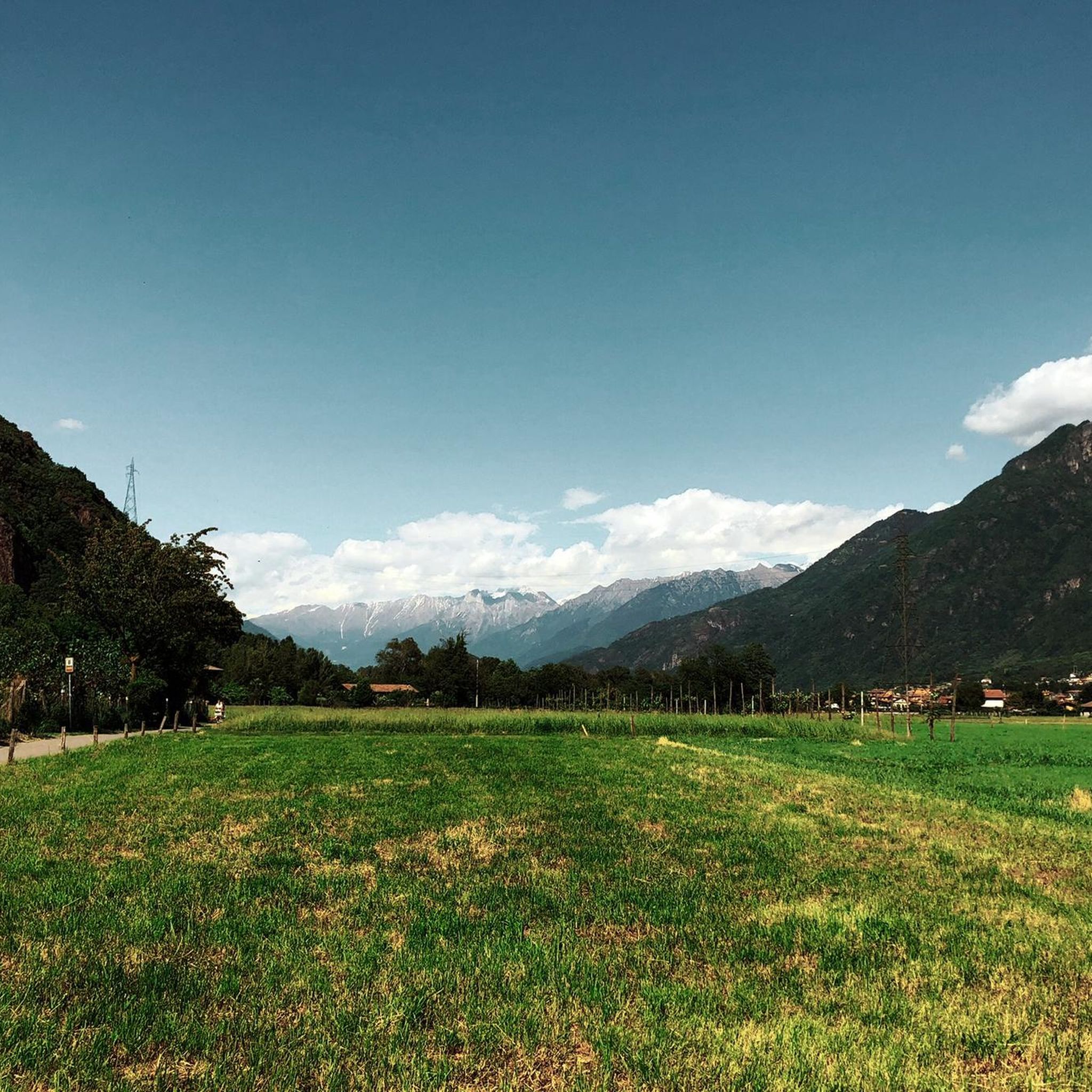
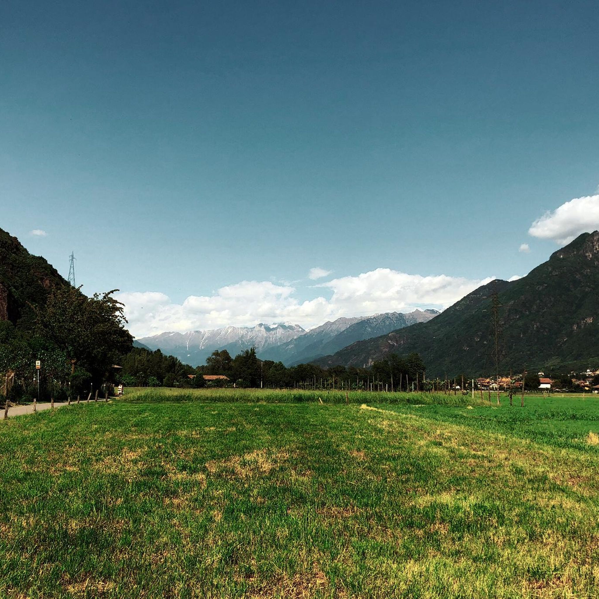
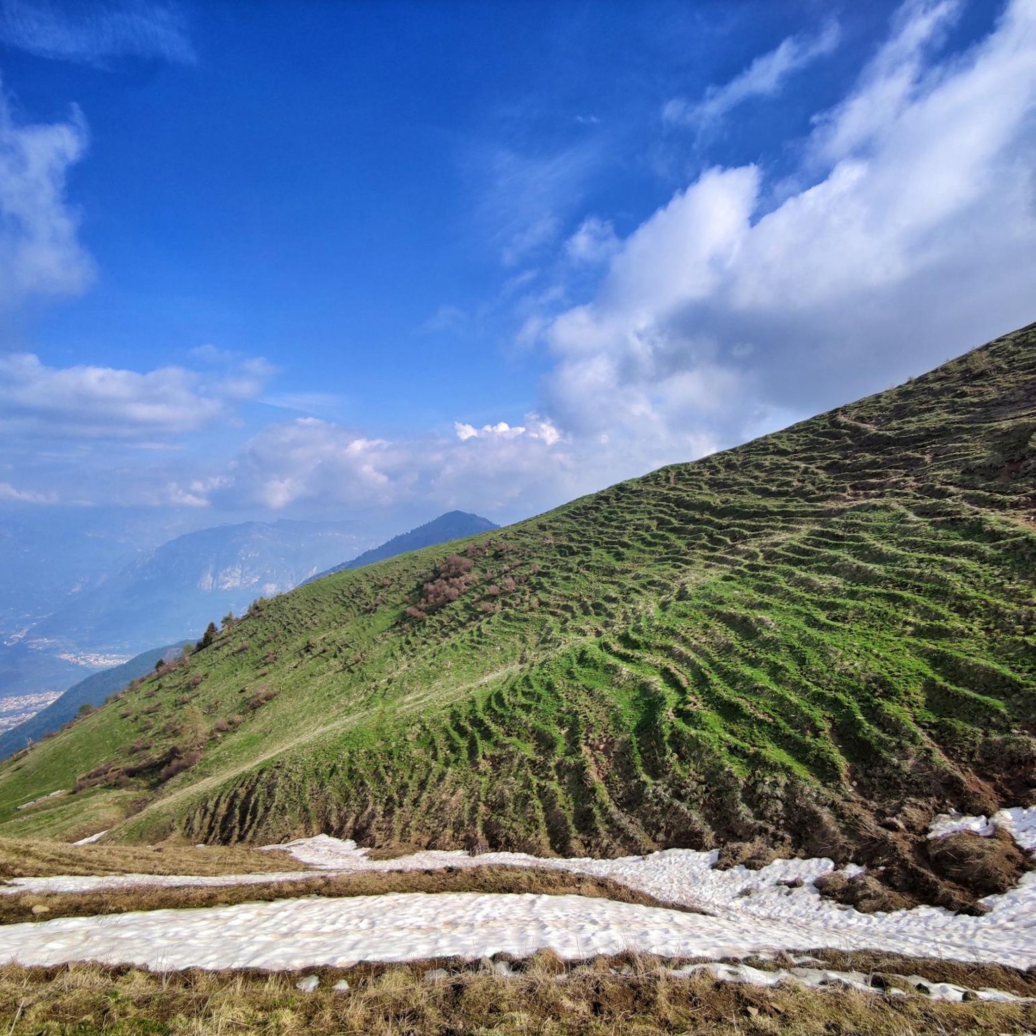
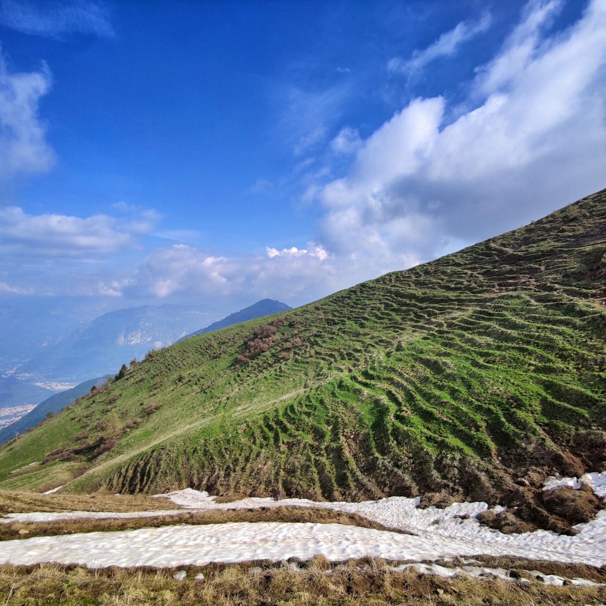
Tips from the Community

Pass that connects Plan di Montecampione to Val Grigna. Can be traversed both on foot and by off-road vehicle or Panda.
0
0
The Val Grigna Regional Forest is a protected natural area located between Val Camonica and Val Trompia. The landscape is typically mid-mountain with wooded slopes mainly composed of Norway spruce and larch, interspersed with wide pasture clearings. Once famous for its Roman-era copper mines and later for turpentine, the famous molten gold. Now, primarily pasture for herds of cows for the production of Silter DOP. The place is very quiet and offers a beautiful panorama and several ups and downs, there are various very interesting information signs, including the one related to the rock of money. I recommend a walk with a picnic to get to know and enjoy the beauties of the area.
0
0
I reached this refuge at the end of the summer season, but still during the continuous opening period. For this reason and because the refuge is easily reachable by car, I expected much more from the managers: very limited choice of dishes, 2 first courses (pasta with tomato sauce or something with chickpeas), 2 second courses (polenta with shank or polenta with melted cheese), 2 cakes (drunken chocolate or panna cotta, I think), not even too much in line with the classics of mountain refuges or traditional dishes. The shank was undercooked and a bit dry. The polenta was too dry. I didn't have a very good experience, what a shame....
0
0
I never stopped, so I can't comment on the welcome or the food. Certainly the area is very scenic and there are herds of horses around. Very pleasant...
0
0
Fantastic area, equipped with some picnic tables fenced by a railing, shaded by larch trees, meadows as far as the eye can see, beautiful panorama and the famous "money stone"
0
0
Here, Silter DOP is produced, there are many mountain huts and a sea of cows, in many huts it is possible to buy cheese or other products directly from the producer.
0
0

A peak over two thousand meters high, overlooking the Montecampione plain and the Bassinale valley. On the grassy, rounded summit, a simple cross with two howitzers fixed at its base. It can be reached via various trails, or by following the two main ridges: the southeast (EE) and the northwest (EE+, which also features a small equipped cliff mid-ridge). From the summit, you can enjoy a splendid panorama wherever you turn, surrounded by imposing mountain ranges at the four cardinal points, as well as the upper part of Lake Sebino, the Camonica Valley, and the Trompia Valley. With a particularly trained eye, you can see: to the north the Orobie mountain range and at first sight the Presolana (you can also glimpse the snow-capped Bernina), to the east the Adamello massif and the Brenta Dolomites, to the south the mountains of the Maniva mountain range, to the west the Monte Guglielmo group.
3
0

Frequently Asked Questions
How many hiking trails are available around Gianico?
There are over 480 hiking routes around Gianico, offering a wide range of options for different skill levels. You can find everything from easy walks to challenging mountain ascents within the diverse landscapes of Val Camonica.
What kind of terrain and difficulty levels can I expect on hikes near Gianico?
Hikes around Gianico feature varied terrain, from extensive forests to mountainous landscapes. You'll find a good mix of difficulty levels: over 100 easy routes, more than 250 moderate trails, and around 125 difficult options, many with significant elevation gain.
Are there any circular hiking routes around Gianico?
Yes, Gianico offers several circular hiking routes. For example, the Roselli Wildlife Trail Loop is a moderate 5.3-mile (8.6 km) path, and the more challenging Dosso Blussega Loop covers 11.8 miles (19.0 km) through forested slopes with panoramic views.
What are some natural features or landmarks I can see while hiking near Gianico?
The region is rich in natural beauty. You can explore the extensive forests and mountainous terrain of Val Camonica, which is traversed by the River Oglio. Nearby, the Adamello Regional Park offers pristine environments. Hikers might also encounter various wildlife and diverse vegetation. For specific points of interest, consider visiting Lake Moro or the Magnolini Hut.
Are there family-friendly hiking trails suitable for children around Gianico?
Yes, there are over 100 easy routes around Gianico that are generally suitable for families. These trails often lead through forests and offer less strenuous walks, allowing for an enjoyable outdoor experience with children. The Three Valleys Trail – Dosso Rotondo Hut loop from Plan di Montecampione is a moderate option that is shorter and has less elevation gain.
Can I bring my dog on the hiking trails in Gianico?
Many trails in the Gianico area are dog-friendly, especially those through forests and less crowded paths. It's always recommended to keep your dog on a leash, especially in protected areas like parts of the Adamello Regional Park, to protect local wildlife and ensure a pleasant experience for all hikers.
What is the best time of year to go hiking in Gianico?
The best time for hiking in Gianico is typically during the warmer months, from spring to autumn. During these seasons, the weather is generally mild, and the trails are clear of snow, offering ideal conditions to explore the mountainous terrain and forests of Val Camonica. Winter hiking is possible but may require specialized gear due to snow and ice at higher elevations.
Are there any viewpoints or panoramic spots along the trails?
Many trails around Gianico, particularly those leading to higher elevations, offer panoramic views of Val Camonica and the surrounding mountains. The Dosso Blussega Loop is known for its scenic vistas. Peaks like Monte Muffetto summit and Monte Ario also provide excellent vantage points.
What do other hikers enjoy most about hiking in Gianico?
The hiking routes in Gianico are highly rated by the komoot community, with an average score of 4.5 stars from over 3600 reviews. Hikers often praise the diverse landscapes, the extensive forests, and the variety of trails suitable for different abilities, as well as the dramatic mountainous backdrop of Val Camonica.
Is parking available at the trailheads around Gianico?
Parking is generally available near popular trailheads and starting points for hikes around Gianico. For example, Cantoniera della Presolana parking is a known spot. It's advisable to check specific route details for parking information, especially for less frequented trails.
Are there any cultural or historical sites that can be combined with hiking in the region?
While not directly on hiking trails, Val Camonica is renowned for its prehistoric rock carvings, a UNESCO World Heritage site. These historical sites are scattered throughout the valley and can be integrated into your hiking itineraries, offering a unique blend of natural exploration and cultural immersion. For more information on attractions in the wider valley, you can visit visitbrescia.it.
Most popular attractions around Gianico

Get inspired with the komoot mobile app


Explore more
Browse the best Hikes in other regions.
