Top 20 Mountain Passes around Darfo Boario Terme
Best mountain passes around Darfo Boario Terme are situated in the Val Camonica, a region known for its diverse alpine landscape. This area provides access to several mountain passes that offer opportunities for cycling, hiking, and panoramic views. The Val Camonica stretches approximately 90 kilometers, encompassing a variety of natural features and outdoor experiences. These passes serve as key points for exploring the surrounding valleys and peaks.
Best mountain passes around Darfo Boario Terme
- The most popular mountain passes is…
Last updated: June 26, 2026
Passo degli Agnelli
Highlight • Mountain Pass
Translated by Google •
Tip by

Presolana Pass
Highlight • Mountain Pass
Translated by Google •
Tip by

Sign up now to discover places like this
Get recommendations on the best single tracks, peaks, & plenty of other exciting outdoor places.
Sign up for free
Passo Pozzera
Highlight • Mountain Pass
Translated by Google •
Tip by

Pass of the Seven Crosses
Highlight • Mountain Pass
Translated by Google •
Tip by

Mount Altissimo
Highlight • Summit
Showing Translation
Tip by

Sign up for free to discover even more mountain passes around Darfo Boario Terme.
Sign up for free
Already have an account?
Start today with a free account
Your next adventure awaits.
Login or Signup
Popular around Darfo Boario Terme

Path of the Iron Woods in Northern Italy – Via Decia

A journey through history and nature in Italy – Via Valeriana on foot
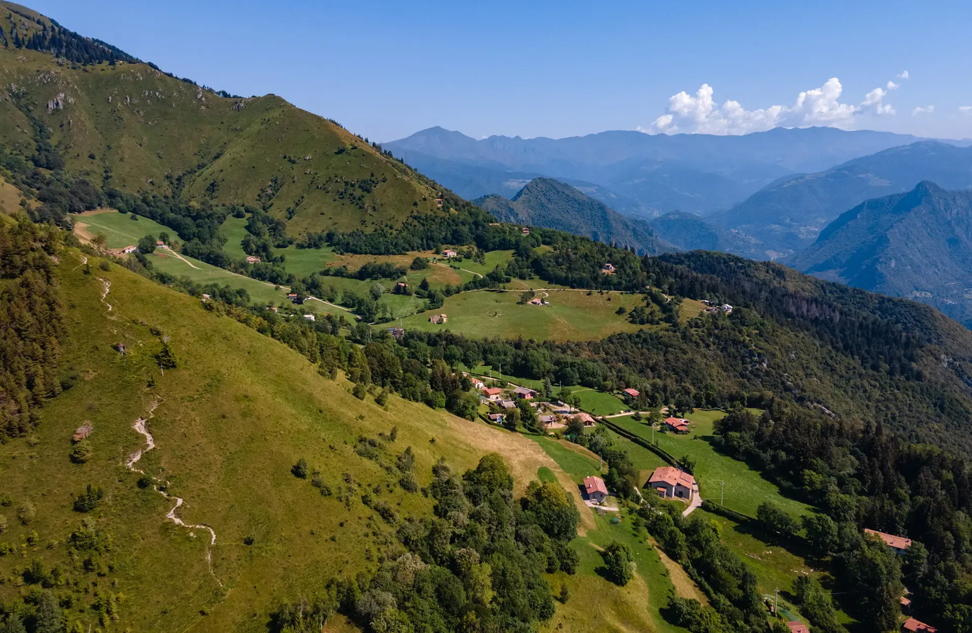
Montecampione – a gem among the valleys of Brescia
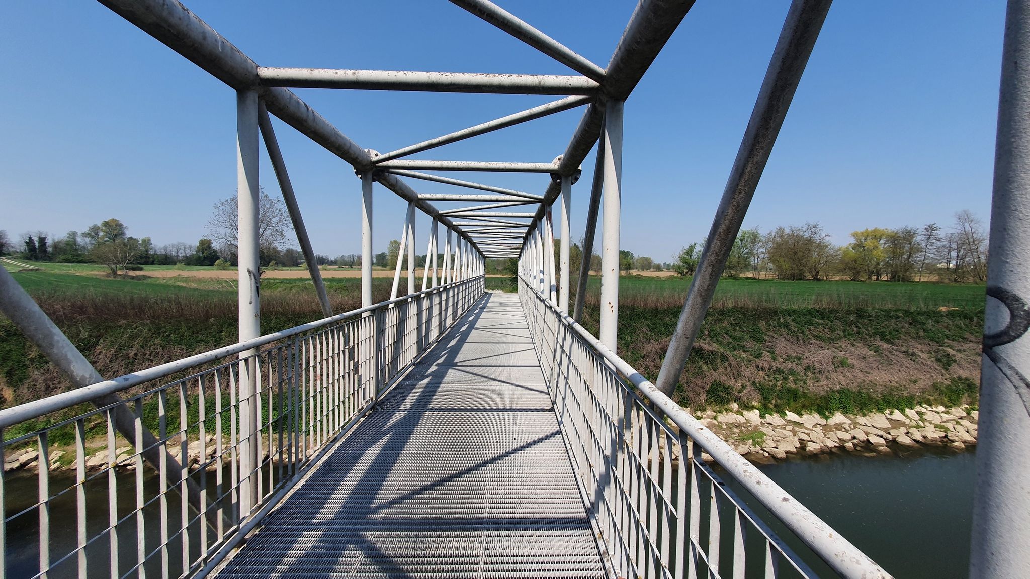
From source to mouth – Oglio Cycle Route
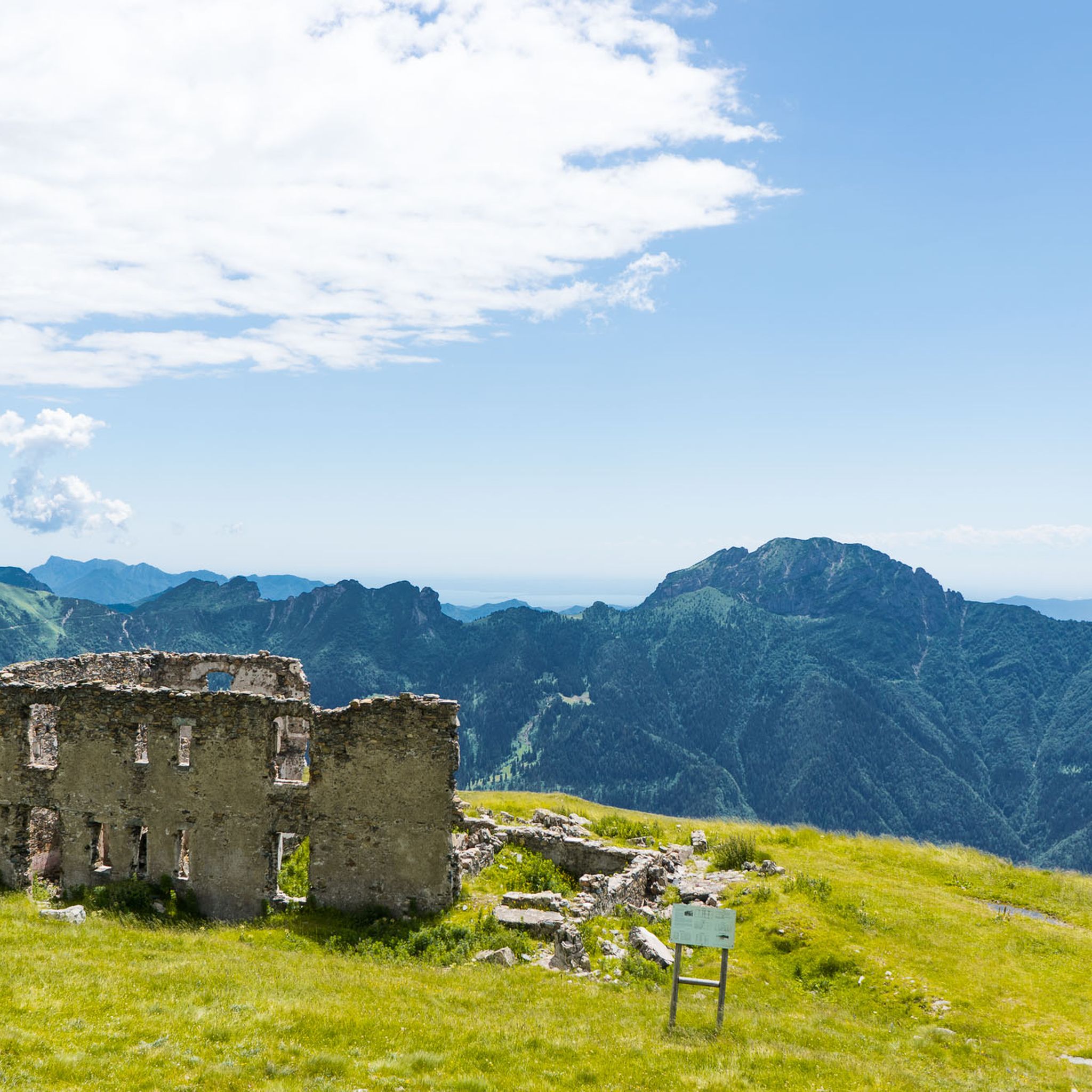
Hiking around Darfo Boario Terme
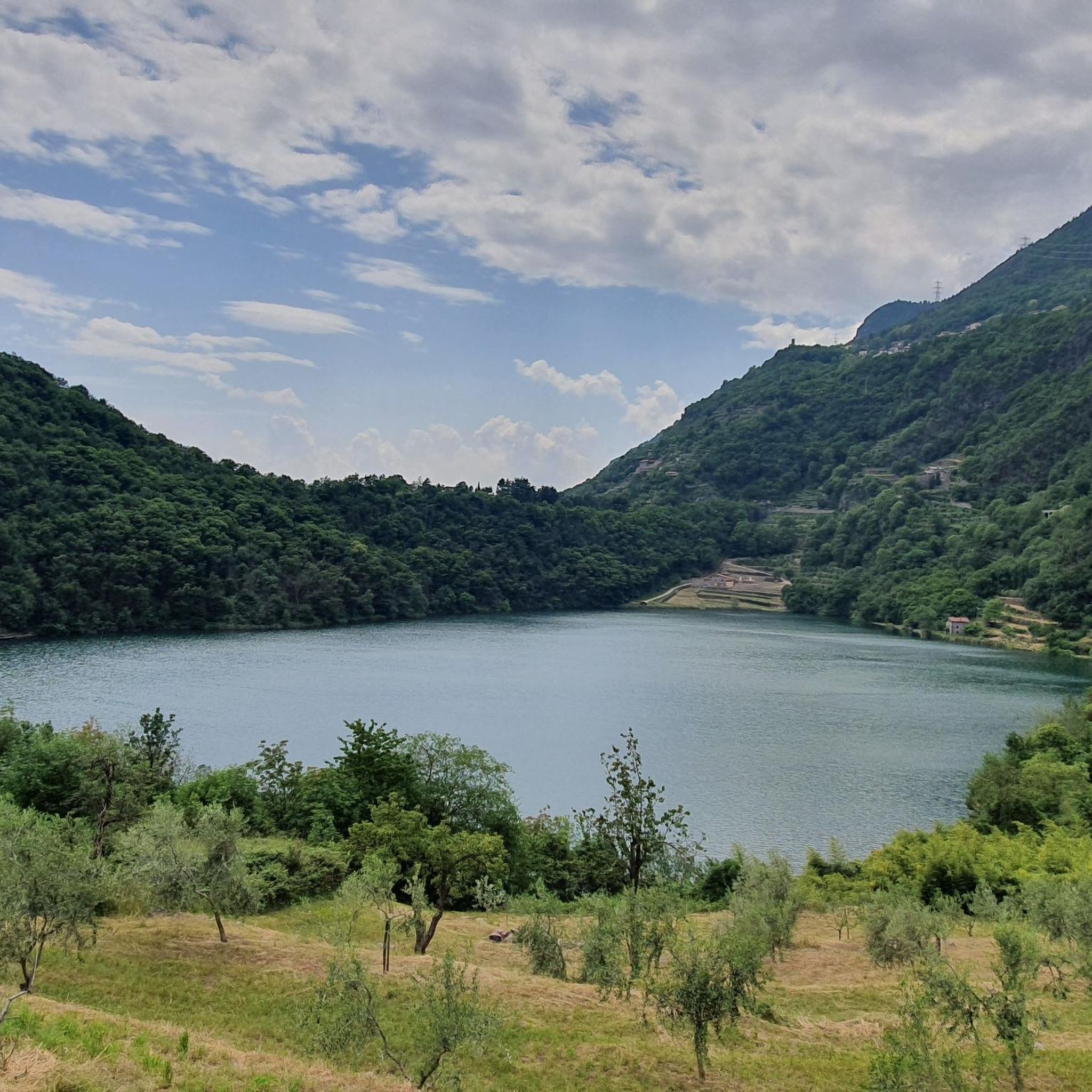
Cycling around Darfo Boario Terme
MTB Trails around Darfo Boario Terme
Road Cycling Routes around Darfo Boario Terme
Running Trails around Darfo Boario Terme

Gravel biking around Darfo Boario Terme
Other adventures around Darfo Boario Terme


Tips from the Community

Mount Altissimo is a mountain in the Bergamo Prealps, 1703 m high, located between the lower Val Camonica and the lower Val di Scalve. It is the highest peak of the mountain group that separates these two valleys and overlooks the Borno plateau. Two very different slopes Southern slope: steep, rocky, almost devoid of vegetation, with a difference in altitude of about 1500 m from the Oglio valley floor. Northern slope: gentle slope towards Borno, covered with fir trees and dotted with mountain huts, chalets and ski slopes of the Borno Ski Area. 🚶♂️ Hiking — The main itineraries Mount Altissimo is very popular with hikers thanks to the good network of trails (difficulty E). Here are the best-known and documented routes. 1) From Erbanno – Trail 197 or 155 A steep and challenging itinerary, with a significant difference in altitude. Trail 197: Start: Erbanno (Darfo Boario Terme) Passes through: small church of San Valentino (690 m), Malga Mine, junction with trail 194 From the cross: spectacular view of the lower Val Camonica and Lake Iseo Summit reachable in 15 minutes from the final junction Trail 155 (more direct and strenuous): Difference in altitude: about 1460 m Steep sections, some chains on a slightly exposed traverse Remarkable panorama of the meadows of "Segable" Arrival at the Monte Altissimo refuge and the ski lifts 2) From Gorzone – Trail 154 A wilder route on the south side, with a long and tough climb. 3) From Borno – North slope (ski slope areas) A gentler and more panoramic itinerary, often chosen for loop tours that include refuges, mountain huts and small churches (as in your story). 🏞️ What makes Mount Altissimo special Sharp contrast between the two slopes: one severe and rocky, the other gentle and wooded. Wide panoramas of the lower Val Camonica, Lake Iseo and Presolana. Network of mountain huts and chalets still active in summer. Presence of the Monte Altissimo refuge at the summit, also reached by ski lifts. Possibility of varied loop tours, combining woods, slopes, ridges and small isolated churches.
0
0

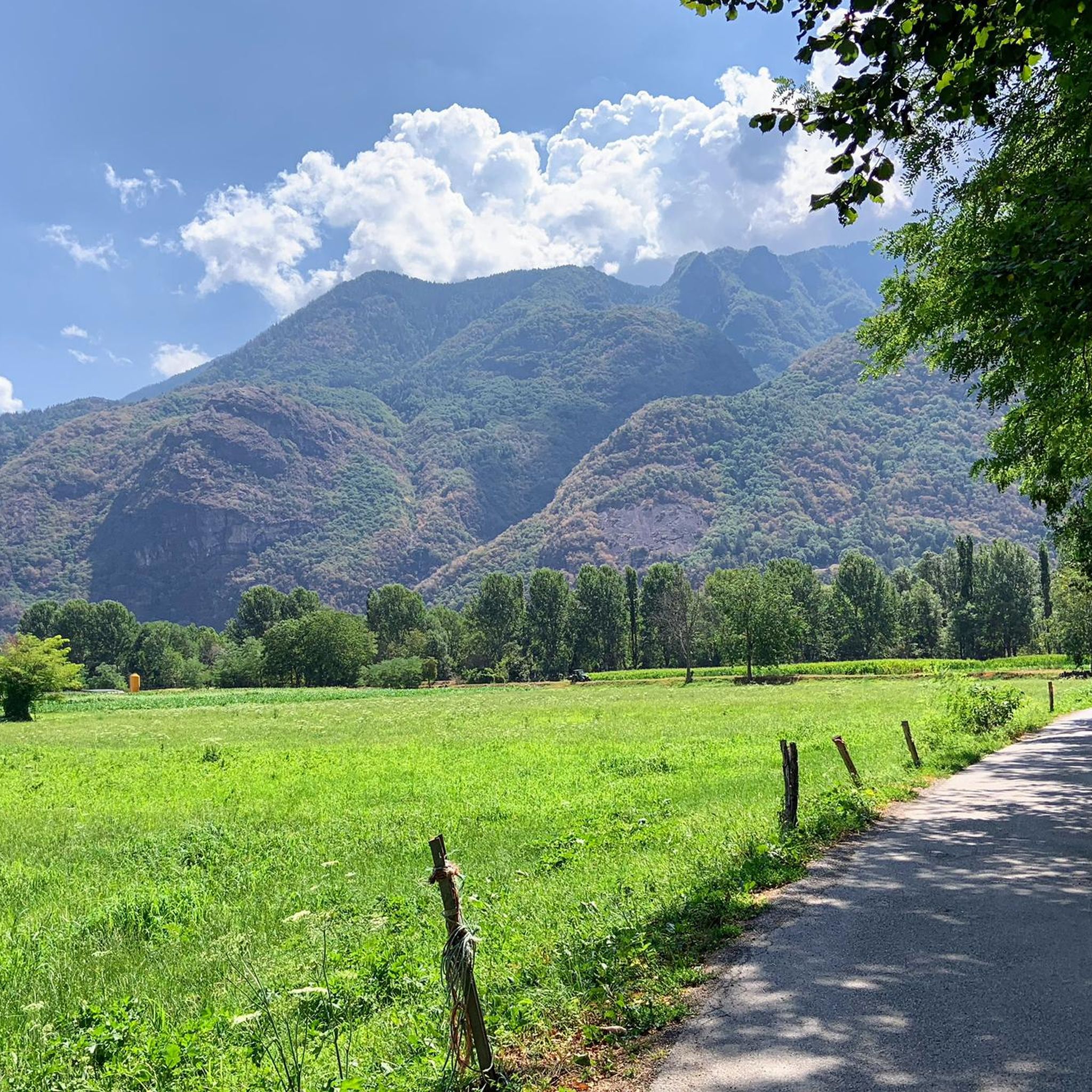
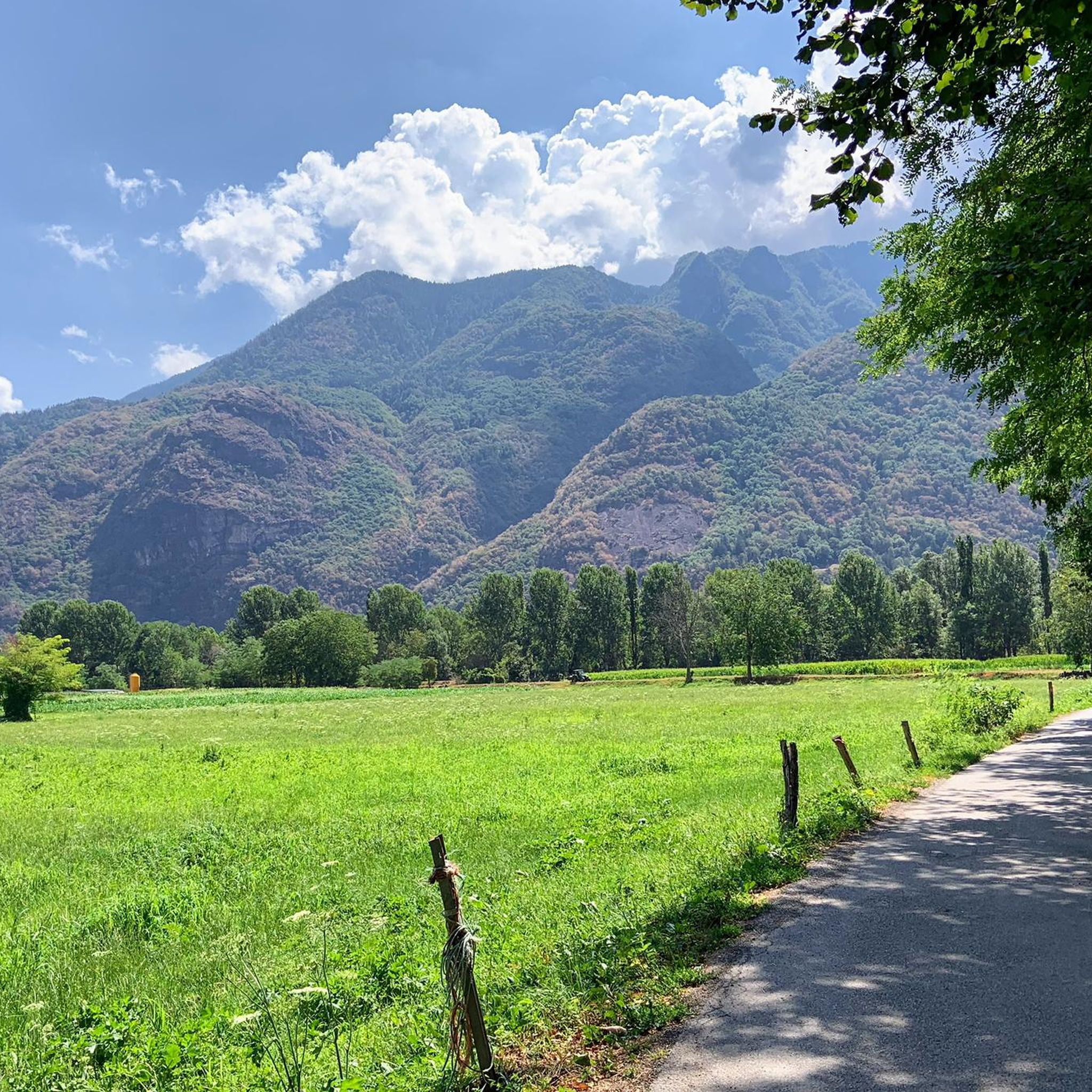
wonderful view of the valley below
0
0

I've done it twice in the same lap, first from Desso, then after climbing Monte Pora. They're completely different. From Desso, it's long and always in double digits, with significant peaks, so take it with a pinch of salt; the other is rideable. Seeing is believing. 🚴♀️
0
0
Passo degli Agnelli is located at 1950 meters above sea level, under the steep walls of the southern slope of Presolana. It is a spectacular panoramic point, easily reachable from Rifugio Rino Olmo. The hike to the pass offers splendid views of the surrounding mountains and can be part of a circular tour that includes Valle dei Mulini, Passo Olone and Rifugio Olmo. The trail crosses scree and woods, offering an immersive experience in the nature of the Bergamo Orobie
0
0

Nice climb with fantastic views.
15
0

Crossed on the way back from Pizzo Corzene.
0
0

A panoramic pass to say the least, the views of the Presolana massif, Valzurio and Castione are incredible. Simply unmissable. The path to reach it is easy from a technical point of view, but physically demanding (or rather it's not really two steps). It can be reached from both Valzurio and Castione. In winter it is easy to spot chamois.
0
0

This is the Passo delle Sette Crocette! An ancient road between the upper Val Trompia and Val Grigna, with a dry stone wall and seven iron crosses. A 1688 cippus adds to the historic charm. Legends tell of witchcraft and mountain piety linked to tragic events. A fascinating place steeped in history and mystery.
3
1
Frequently Asked Questions
What are some of the most popular mountain passes around Darfo Boario Terme?
Visitors frequently enjoy Passo degli Agnelli, a panoramic point at 1,950 meters with stunning views. Another highly regarded pass is Presolana Pass, known for its challenging climbs and spectacular vistas. The Pass of the Seven Crosses is also popular for its historical charm and mountainous environment.
What kind of natural features can I expect to see at these mountain passes?
The mountain passes around Darfo Boario Terme offer diverse natural beauty. You'll find breathtaking panoramic views of valleys, peaks, and distant mountain ranges. Passes like Passo degli Agnelli provide expansive vistas, while the Pass of the Seven Crosses is set amidst green meadows and red rocks, with opportunities to spot marmots and rhododendrons.
Are there historical sites or cultural elements to explore at the mountain passes?
Yes, the Pass of the Seven Crosses is a notable historical site. It features an ancient road with a dry stone wall and seven iron crosses, along with a 1688 cippus, adding to its historical and mysterious charm. The Croce di Salven Pass also has historical significance, with the ruins of an old sanatorium nearby.
What is the best time of year to visit the mountain passes around Darfo Boario Terme?
Many passes, such as Campelli Pass, are spectacular year-round. For cycling and hiking, the warmer months offer ideal conditions. Winter and spring are excellent for ski mountaineering in higher passes. The region's diverse alpine landscape provides unique experiences in every season.
What outdoor activities can I do near these mountain passes?
The area around Darfo Boario Terme is a haven for outdoor enthusiasts. You can enjoy extensive opportunities for trekking, mountain biking, and skiing. For specific routes, explore the hiking trails, mountain hikes, and road cycling routes available in the region.
Are there challenging mountain passes for experienced cyclists?
Absolutely. Passes like Presolana Pass are well-known for their challenging climbs, with sections reaching gradients of up to 14%. The Tonale, Aprica, and Gavia Passes, while further north in Val Camonica, are also legendary among cycling enthusiasts for their demanding routes.
Are there any easier or beginner-friendly mountain routes near Darfo Boario Terme?
While many passes offer challenging sections, there are also routes with less demanding slopes. For example, the southern side of Presolana Pass from Rovetta is considered an easier climb. You can also find easy road cycling routes like the 'Pasticceria Minini – Pizzeria La Griglia loop' or 'Pisogne loop' in the road cycling guide.
What do visitors enjoy most about the mountain passes in this region?
Visitors consistently praise the spectacular views and the feeling of discovery. For instance, the Passo degli Agnelli is loved for giving the feeling that 'a new world opens up on the other side.' The challenging climbs and rewarding panoramas, along with the rich natural and historical environments, are frequently highlighted.
Can I find hiking trails near these mountain passes?
Yes, the surrounding areas of the mountain passes provide numerous trails for hikers. The Campelli Pass, for instance, serves as a starting point for exploring the alpine environment. You can find various hiking options, including moderate and difficult trails, in the Hiking around Darfo Boario Terme guide.
Are there any specific viewpoints recommended at the passes?
Many passes offer excellent viewpoints. Passo degli Agnelli is a panoramic point at 1,950 meters with views under the steep walls of Presolana. The summit of Presolana Pass also provides spectacular views after the climb. The Campelli Pass offers dominant views of both the Scalve and Camonica valleys.
What are the typical elevations of the mountain passes in this area?
The mountain passes in the region vary in elevation. For example, Passo degli Agnelli is located at 1,950 meters above sea level, and Campelli Pass is at 1,889 meters. The Croce di Salven Pass is at a lower altitude of 1,108 meters, connecting different valleys.
Are there opportunities for winter sports at the mountain passes?
Yes, some passes are integral to major ski areas. Tonale Pass, for example, is part of a region offering extensive slopes and facilities for winter sports enthusiasts, including ski mountaineering in winter and spring.
How long do typical hikes or rides take on these mountain passes?
The duration varies greatly depending on the route and your pace. For instance, a road cycling route like the 'Presolana Pass – Presolana Pass loop' from Boario Terme is nearly 70 km long. Shorter hiking options, such as the 'Monticolo Observation Tower – Monticolo Parking Lot loop,' are around 5 km. You can find detailed distances and difficulty levels in the hiking, mountain hikes, and road cycling guides.
Most popular routes around Darfo Boario Terme
Most popular attractions around Darfo Boario Terme

Get inspired with the komoot mobile app


Explore more
See even more epic mountain passes by checking out these guides around Darfo Boario Terme:
