The best MTB trails in Ruija region
4.3
(18)
300
riders
30
rides
Mountain biking in Ruija region, located in Norway, offers diverse terrain characterized by coastal views, river valleys, and fells. The landscape features significant elevation changes, from sea-level routes to climbs offering panoramic vistas. Mountain bike trails in Ruija region often traverse areas with views of fjords and the Arctic coastline, providing a unique riding experience. The region's natural environment includes a mix of open areas and some forested sections, particularly along river systems.
Best mountain bike trails in Ruija region
…Last updated: August 19, 2026
4.3
(4)
68
riders
27.3km
02:10
240m
240m
Moderate mountain bike ride. Good fitness required. Suitable for all skill levels.
11.7km
01:07
250m
250m
Moderate mountain bike ride. Great for any fitness level. Advanced riding skills necessary.

Sign up for free
4.2
(5)
42
riders
68.6km
04:59
1,330m
1,330m
Hard mountain bike ride. Very good fitness required. Suitable for all skill levels.
5.0
(1)
28
riders
38.0km
02:56
320m
320m
Moderate mountain bike ride. Good fitness required. Suitable for all skill levels.
4.5
(2)
14
riders
Easy mountain bike ride. Great for any fitness level. Suitable for all skill levels.
5.0
(2)
18
riders
22.3km
01:43
520m
520m
Moderate mountain bike ride. Good fitness required. Suitable for all skill levels.
10
riders
Moderate mountain bike ride. Good fitness required. Suitable for all skill levels.
4.0
(1)
11
riders
Easy mountain bike ride. Great for any fitness level. Suitable for all skill levels.
12
riders
30.2km
01:56
430m
430m
Moderate mountain bike ride. Good fitness required. Suitable for all skill levels.
10
riders
Moderate mountain bike ride. Good fitness required. Suitable for all skill levels.
Get access to more routes and recommendations from other explorers.
Sign up for free
Already have an account?
Our route recommendations are based on thousands of hikes, rides, and runs completed by other people on komoot.
Start today with a free account
Your next adventure awaits.
Login or Signup
Popular around Ruija region
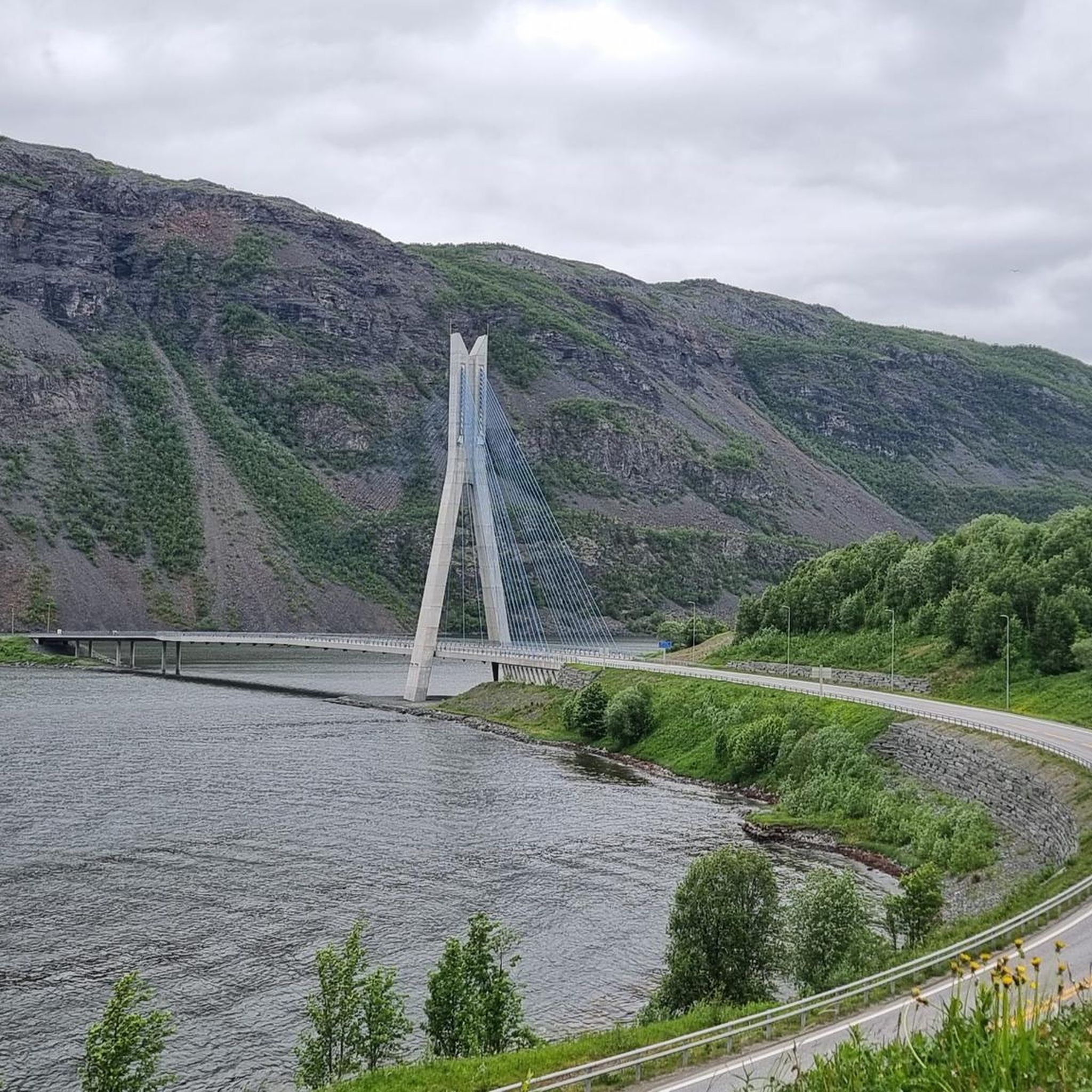
MTB Trails around Alta
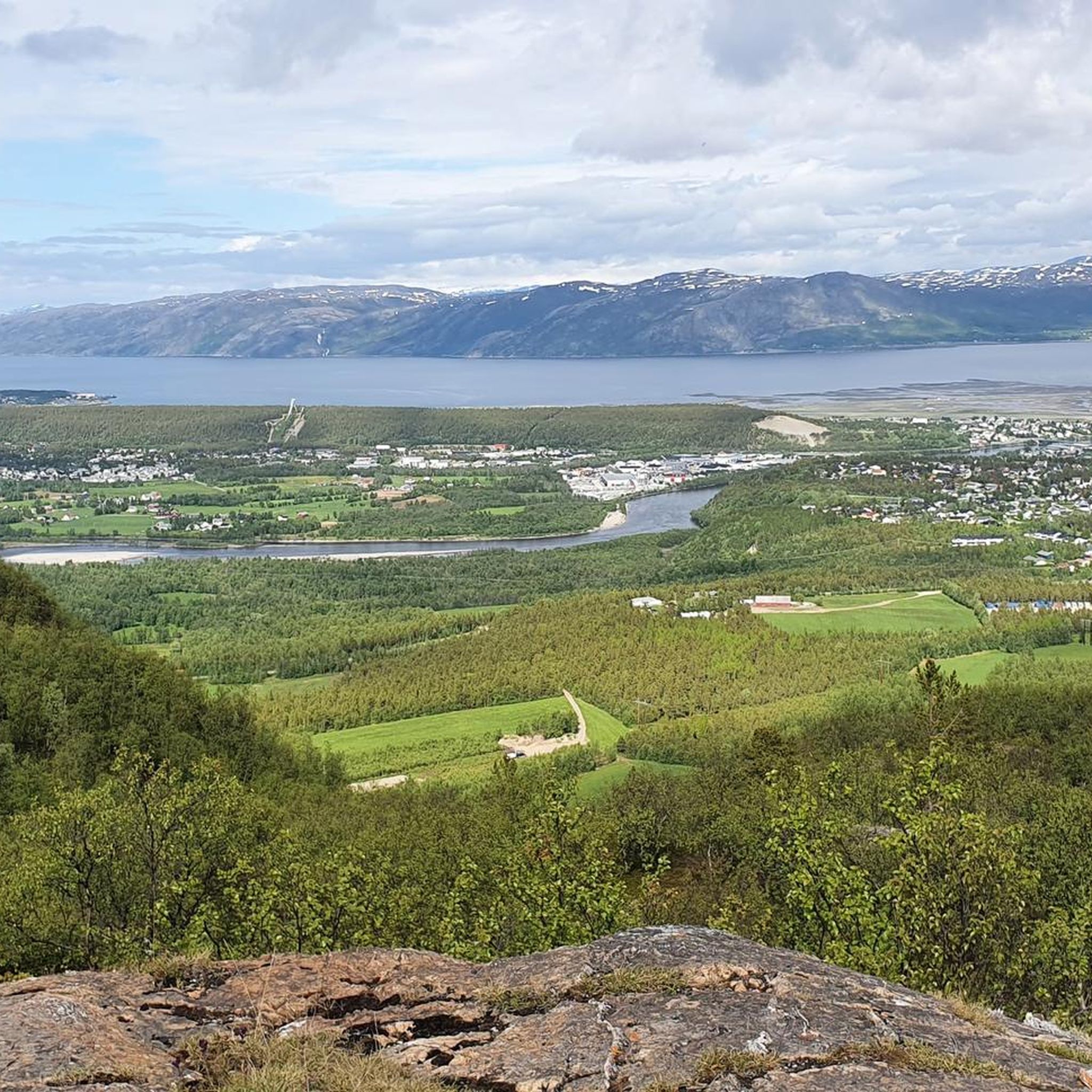
MTB Trails in Tverrelvdalen Naturreservat
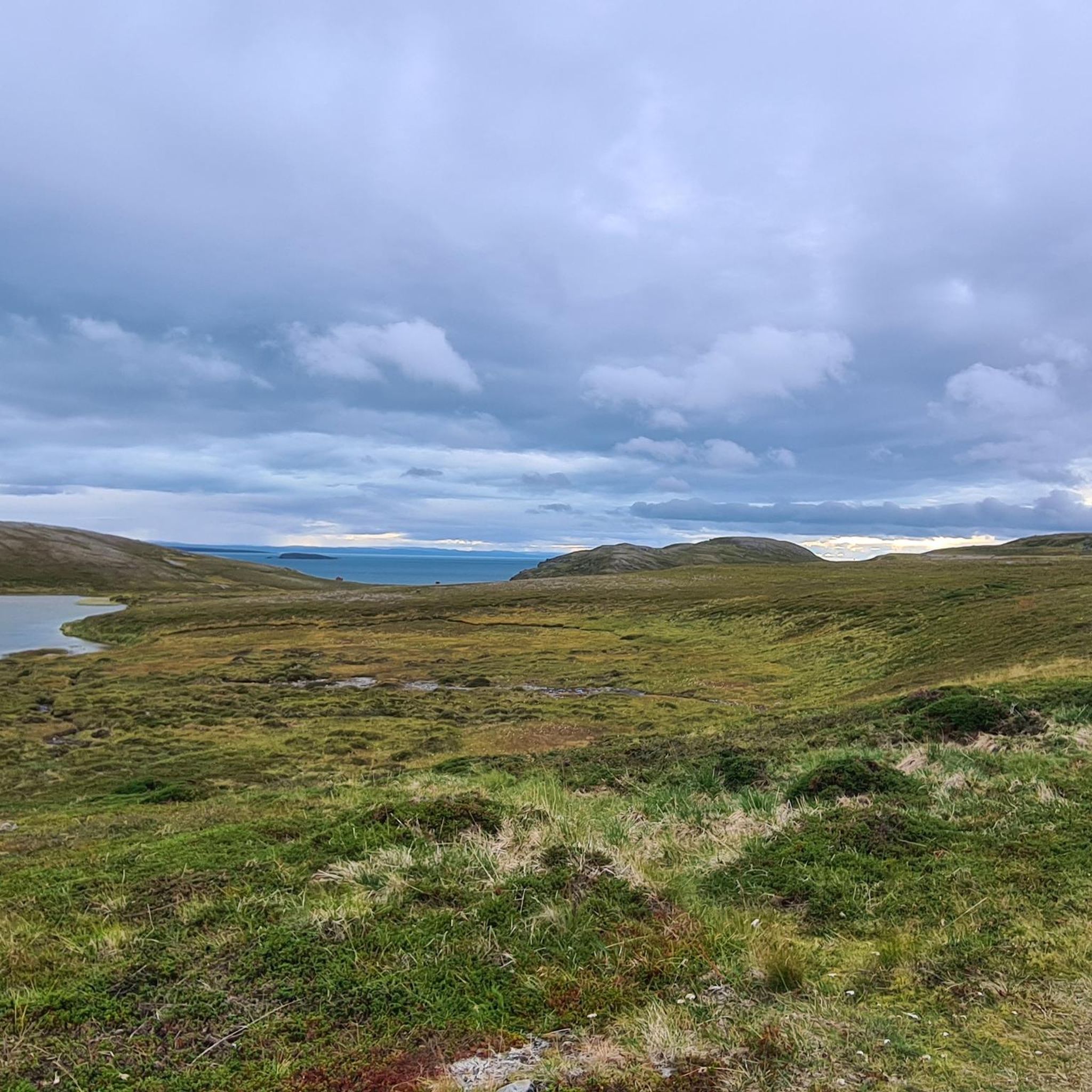
MTB Trails around Hammerfest

European Divide Trail — 7,600 km across the continent
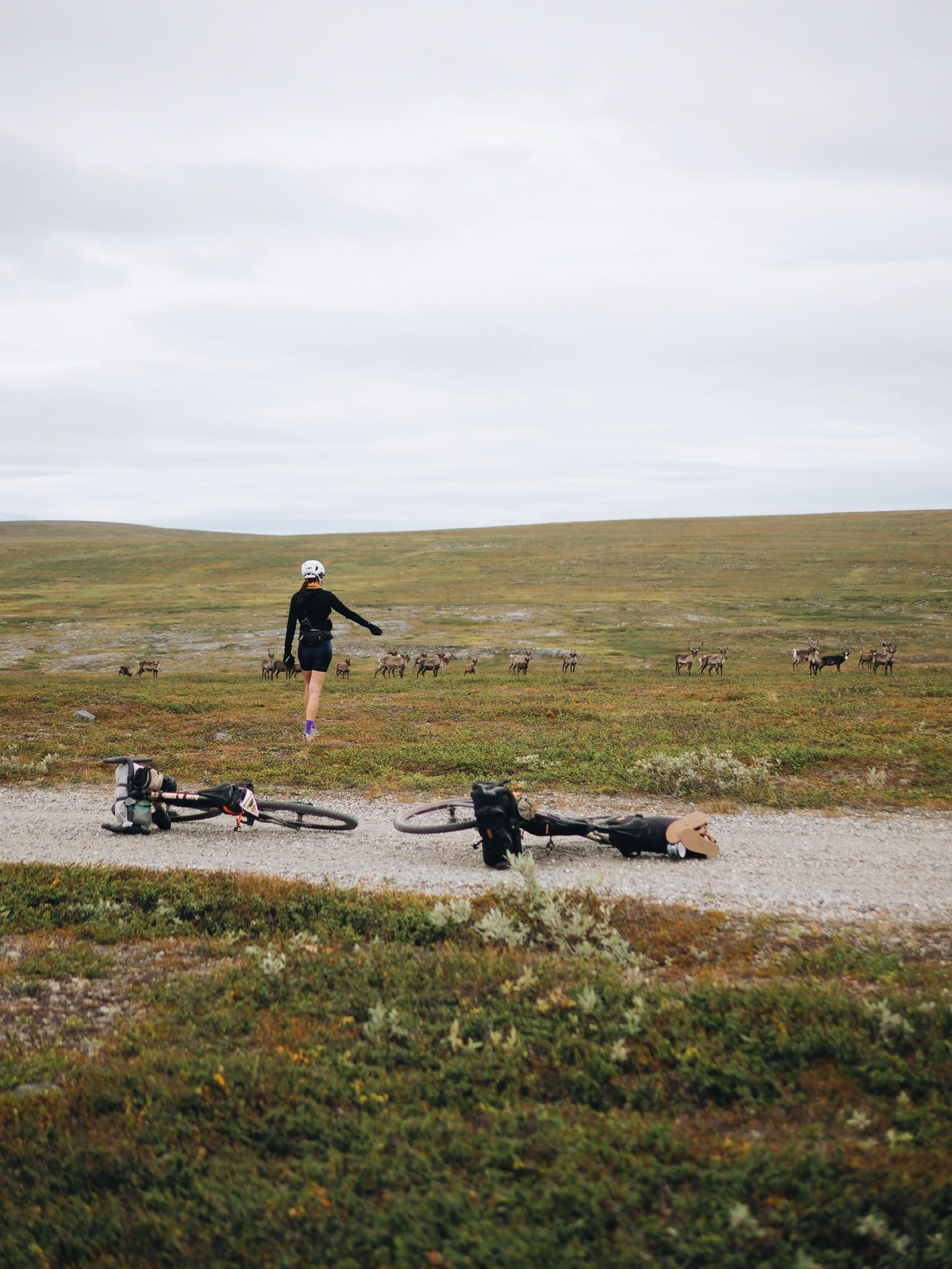
Arctic Post Road
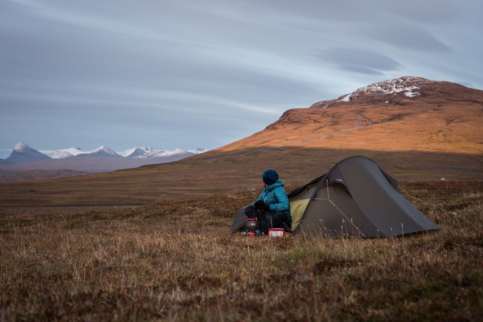
The Nordkalottleden — At the edges of the polar circle

Naples to North Cape — Two friends, one purpose and many scoops of ice-cream
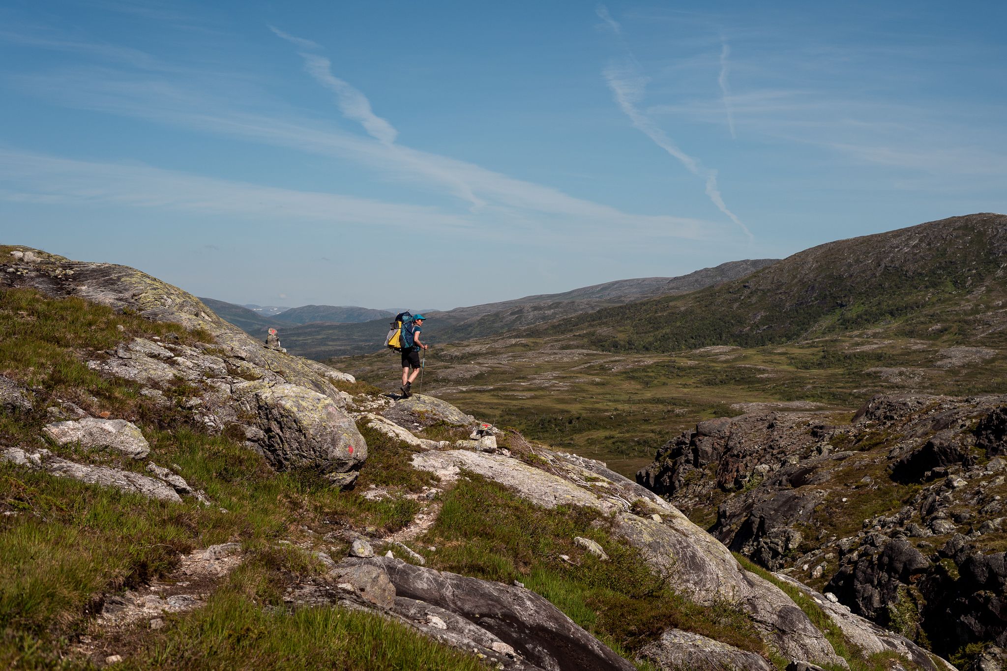
Norge på Langs – The length of spectacular Norway on foot
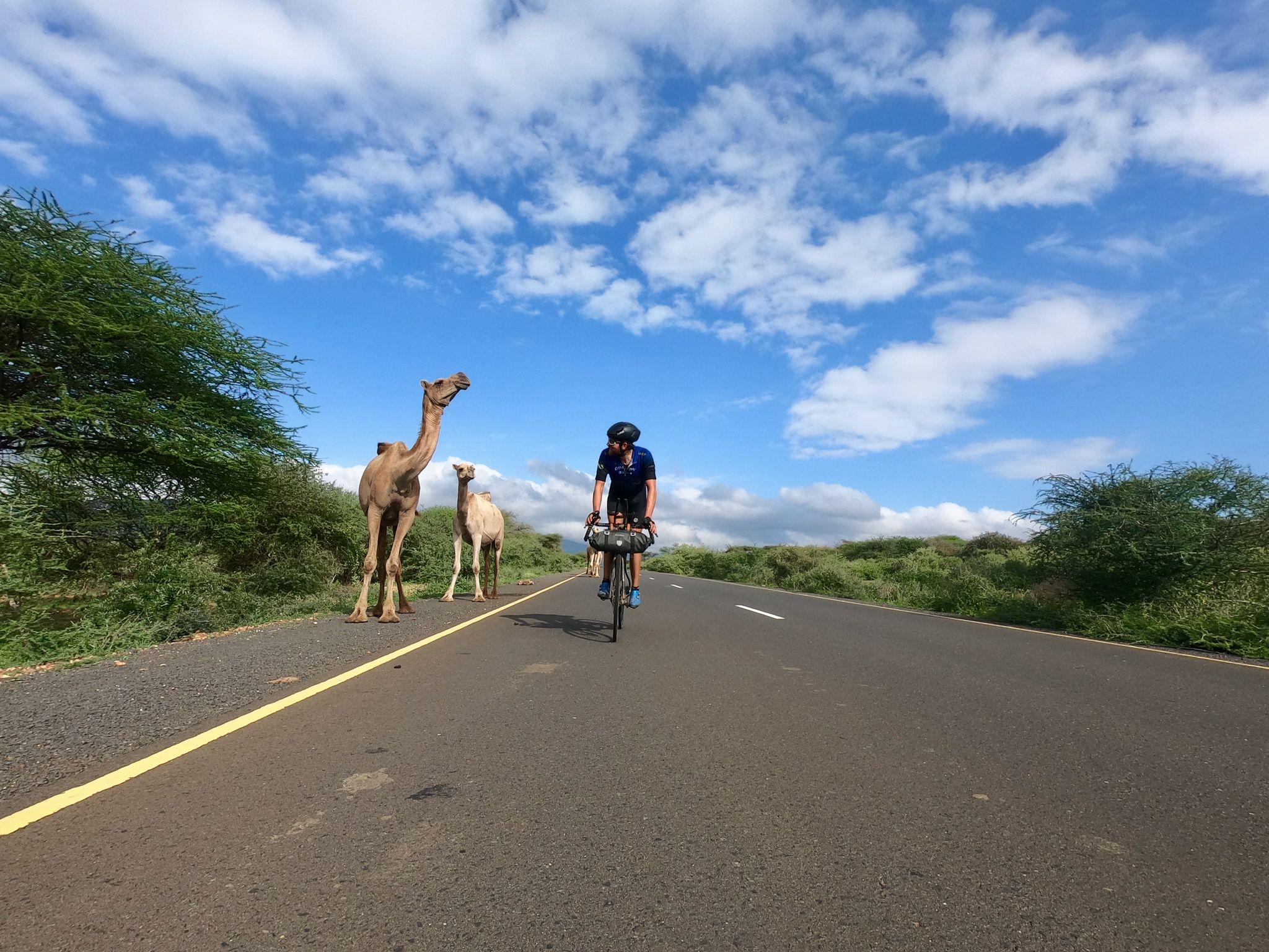
Cape to Cape Challenge – 18,000km in 73 days
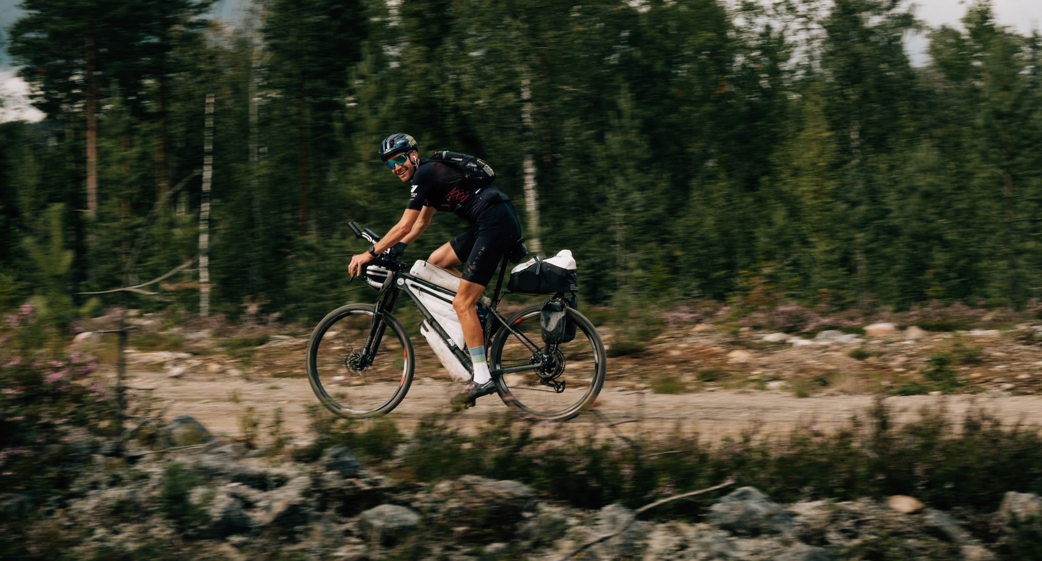
European D̶I̶V̶I̶D̶E̶ Connect Trail Project – a journey across Europe
Other adventures in Ruija region


Tips from the Community

Fountain, mother with children, next to the town hall, right by the harbor.
0
0

At this point, you have a beautiful view of the vast lake. Incidentally, there are quite a few lakes waiting for you in this region.
0
0

Salen, the local mountain, rises some 86 meters above the city center of Hammerfest. From up here, you have a wonderful panoramic view of Europe's northernmost city, overlooking the city center, the harbor, and Hammerfest Church.
1
0

Beautiful little harbor. A tourist destination, even large cruise ships arrive.
0
0

Actual northernmost point: Knivskjellodden: Instead of driving to the famous North Cape plateau, hike to Knivskjellodden, the true northernmost point of mainland Europe. This point is about 8 kilometers from the parking lot on the E69, and the hike takes about 2.5 hours.
1
0
The best time to visit Norway's North Cape is during the summer months of May to September. After the cold winter months, temperatures climb to as high as 13°C. At the same time, over 20 hours of sunshine invite you to explore and discover this unique region.
1
0
Honningsvåg is a town in the municipality of Nordkapp in northern Norway. The town is located on the island of Magerøya and has a population of approximately 2,800. Honningsvåg is known as the gateway to the North Cape, the northernmost point of mainland Europe. Tourists visiting Honningsvåg are often attracted by the spectacular scenery and long, bright summer nights. Popular activities in the area include boat trips along the coast and to nearby islands, fishing, hiking in the surrounding wilderness, and viewing the Northern Lights in winter. The North Cape, located about 30 kilometers from Honningsvåg, is one of Norway's most famous tourist attractions. It is a rocky plateau approximately 307 meters above sea level, offering spectacular views of the surrounding fjords and mountains. Tourists can visit the North Cape Centre, which offers a variety of exhibitions, restaurants, and souvenir shops, or take a Midnight Sun tour to experience the natural phenomenon of the midnight sun, which occurs in the region during the summer. Honningsvåg also has many local shops and restaurants specializing in regional products such as fish and seafood. Visitors can also visit the local cultural center, which offers a variety of events and exhibitions about the region's culture and history.
1
0
Festive atmosphere everywhere Throughout Norway, the spectacular event surrounding the midnight sun is celebrated with dancing, music, games, boat trips, and bonfires until late into the night. Along the coast, residents flock to the fjords in their boats to light a fire on one of the many small islands and enjoy a cozy gathering with family and friends. No one thinks about sleeping here – the search for a nice spot begins in the afternoon, where they can spend the day enjoying themselves until late into the night. In convivial company, people enjoy typical Norwegian fish and Norwegian beer.
0
0
Frequently Asked Questions
How many mountain bike trails are available in the Ruija region?
The Ruija region offers over 35 mountain bike trails, catering to various skill levels. These routes traverse diverse landscapes, including coastal paths, river valleys, and fells.
What kind of terrain can I expect on mountain bike trails in the Ruija region?
Mountain biking in the Ruija region features a mix of terrain. You'll find rocky sections, open pine forests, and mountain birch forests. Trails often include significant elevation changes, from sea-level routes to climbs offering panoramic views of fjords and the Arctic coastline. The region's natural environment also includes protected areas like the Sompio strict nature reserve and Urho Kekkonen National Park, where staying on marked trails is essential.
Are there mountain bike trails suitable for beginners in Ruija region?
Yes, the Ruija region has 11 easy mountain bike trails. An excellent option for beginners is the Bridge near Alta Camping – View of the Alta River loop from Gurpmotjohka, a 13.3-mile (21.4 km) route that leads through river valleys and is generally completed in under two hours.
What are some challenging mountain bike trails in the Ruija region?
For experienced riders seeking a challenge, there are 3 difficult mountain bike trails. A notable option is the Scenic Bay View Near the Road – Nordkapp Viewpoint loop from Holmen. This 42.4-mile (68.2 km) trail features significant elevation gain and stunning coastal scenery, typically taking around 5 hours to complete.
Are there any circular mountain bike routes in the Ruija region?
Many mountain bike trails in the Ruija region are designed as loops, offering convenient circular routes. For example, the Northern Lights Cathedral – Bridge near Alta Camping loop from Høysletta is a moderate 23.5-mile (37.9 km) path that explores the Alta area, providing views of local landmarks and river landscapes.
What natural features or landmarks can I see along the mountain bike trails?
The Ruija region offers numerous natural features and landmarks. You might encounter dramatic canyons like Orposenkuru and Latvakuru, or fells such as Terävä-Nattanen and Kiilopää, which provide elevated viewpoints. Along some routes, you can also spot the Northern Lights Cathedral (Alta Church) or the Tyven Summit. The region is also known for its picturesque Lake Sompio and the scenic Alta River.
What do other mountain bikers enjoy most about the Ruija region?
The Ruija region is highly rated by the komoot community, with an average score of 4.5 stars from over 16 reviews. Mountain bikers often praise the diverse terrain, the unique coastal and fjord views, and the opportunity to experience the Arctic landscape. Many appreciate the well-maintained trails and the variety of routes available for different skill levels.
Are there any longer mountain bike routes for extended rides?
Yes, for those looking for longer rides, the Ruija region offers several options. The Gorgeous view of the Altaelva – MTB Trail Along the Alta River loop from Kronstad is a moderate 35.6-mile (57.3 km) trail that follows river valleys, providing an extended riding experience.
What is the best time of year for mountain biking in the Ruija region?
The best time for mountain biking in the Ruija region is typically during the warmer months when trails are free of snow and ice. The region's diverse terrain, including open pine forests and mountain birch forests, is particularly enjoyable from late spring through early autumn. Always check local conditions before heading out, especially in higher elevations.
Are there any mountain bike trails that offer views of the Alta River?
Yes, several trails provide excellent views of the Alta River. A great option is the Gorgeous view of the Altaelva – View of the Alta River loop from Furuli, a moderate 19.7-mile (31.8 km) route that allows you to enjoy the river's beauty.
Are there any accommodations or huts near the mountain bike trails?
Yes, the Ruija region has several options for accommodation. You can find facilities like Duottar Camping, Suolovuopmi Fjellstue, and Gargia mountain lodge, which can serve as convenient bases for your mountain biking adventures.
Can I find trails that explore the Kirkenes area?
Absolutely. The Kirkenes peninsula mini tour is a moderate 7.3-mile (11.7 km) mountain bike route that allows you to explore the Kirkenes area, offering a shorter, engaging ride.
Most popular routes in Ruija region
Most popular attractions in Ruija region

Get inspired with the komoot mobile app


Didn’t find what you were looking for?
Check out more MTB trails throughout Ruija region below and find the perfect route in your destination.
Explore more
Browse the best MTB trails in other regions.
