The best hikes from bus stations in Ruija region
4.6
(2104)
10,362
hikers
138
hikes
Bus station hiking trails in Ruija region offer access to diverse Arctic landscapes, characterized by coastal paths, open tundra, and rolling hills. The region, part of Finnmark in northern Norway, features a rugged coastline and expansive plateaus. Hikers can experience a variety of terrains, from the dramatic cliffs of the North Cape area to more sheltered inland routes.
Best bus station hiking trails in Ruija region
- The most popular bus station hiking route is Hike to Knivskjelodden - Norway's northernmost…
Last updated: August 19, 2026
4.7
(352)
1,715
hikers
17.0km
06:03
370m
370m
Hard hike. Very good fitness required. Mostly accessible paths. Sure-footedness required.
4.8
(46)
200
hikers
2.99km
01:11
230m
230m
Hike the Nordkapptrappa Trail, an easy 1.9-mile (3.0 km) route with 746 feet (227 metres) of gain, featuring Sherpa-built steps and Arctic v

Sign up for free
4.8
(24)
114
hikers
4.51km
01:21
140m
140m
Enjoy an easy 2.8-mile (4.5 km) hike on the Gammelveien Loop, offering scenic views of Hammerfest and surrounding landscapes.
4.9
(11)
51
hikers
4.26km
01:26
220m
220m
Easy hike. Great for any fitness level. Easily-accessible paths. Suitable for all skill levels.
4.5
(6)
45
hikers
6.61km
02:22
370m
370m
Hard hike. Good fitness required. Sure-footedness, sturdy shoes and alpine experience required.
Get access to more routes and recommendations from other explorers.
Sign up for free
Already have an account?
Our route recommendations are based on thousands of hikes, rides, and runs completed by other people on komoot.
Start today with a free account
Your next adventure awaits.
Login or Signup
Popular around Ruija region
Hikes from bus stations in Kirkeneshalvøya Dyrelivsfredning

Hikes from bus stations in Tverrelvdalen Naturreservat

Hikes from bus stations around Stabbursdalen

Hikes from bus stations in Barvikmyran Og Blodskytodden Naturreservat

Hikes from bus stations in Hornøya Og Reinøya Naturreservat

Hikes from bus stations in Oksevatnet Landskapsvernområde

Hikes from bus stations around Stabbursnes

Hikes from bus stations around Varangerhalvøya
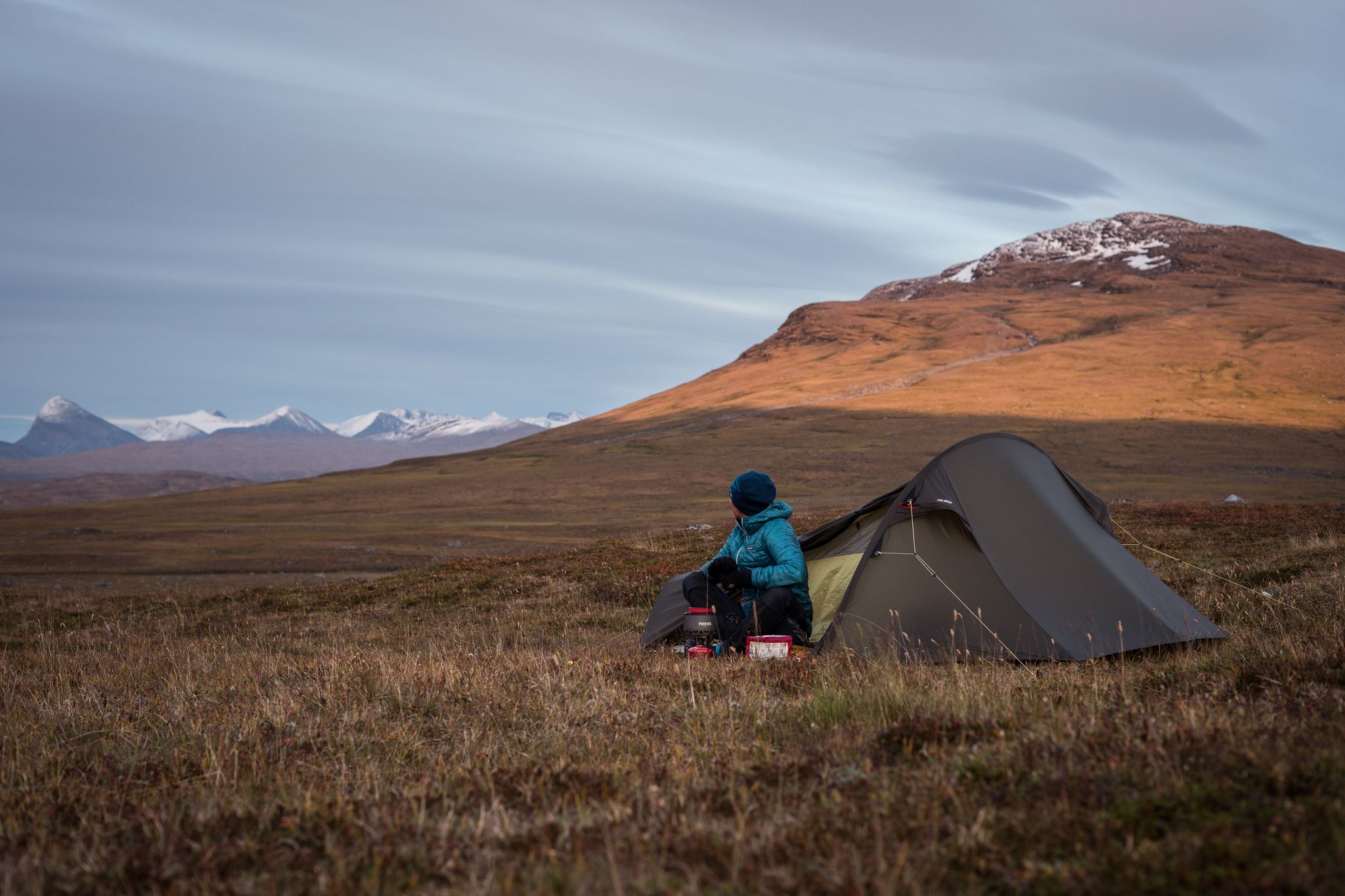
The Nordkalottleden — At the edges of the polar circle
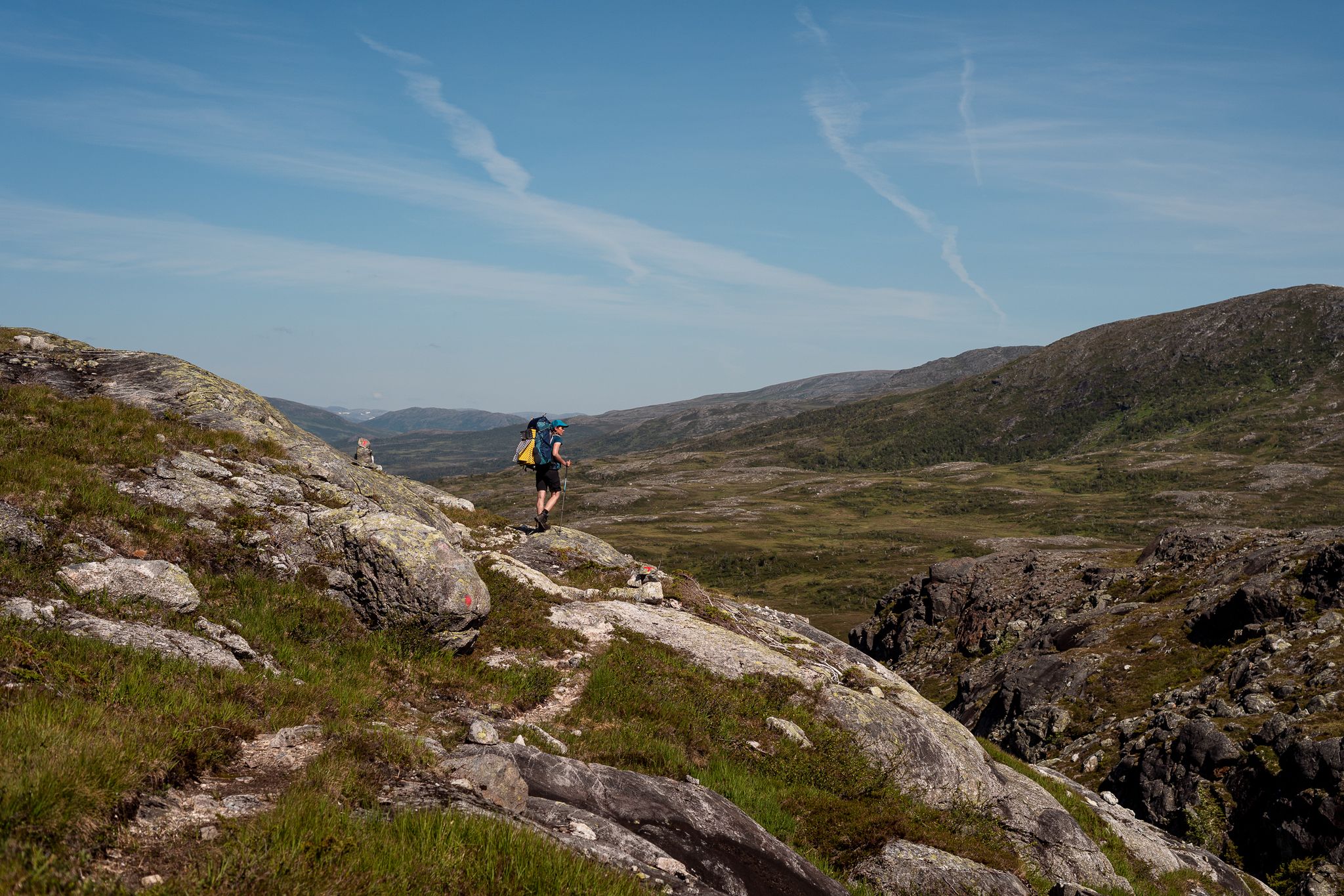
Norge på Langs – The length of spectacular Norway on foot
Other adventures in Ruija region


Tips from the Community

Salen, the local mountain, rises some 86 meters above the city center of Hammerfest. From up here, you have a wonderful panoramic view of Europe's northernmost city, overlooking the city center, the harbor, and Hammerfest Church.
1
0

A largely pathless hike from The View Hotel northeastward over all the peaks to Nordkapp is possible. The destination is the harbor with the ultimate Sjøgata Pub.
1
0

Beautiful hut where you can take a break or find shelter if the weather changes. Includes a fireplace and a great view.
1
0

From here you have a great view down to Nordvågen.
0
0
New hut at the end of the Nordkapptrappa. Cosy place with a fireplace. Great views!
1
0
Great views! There is a small shelter next to the summit.
0
0
Beautiful hut next to the summit. There is even a small wood stove.
0
0
The bench is next to the trail. Perfect place for a break.
1
0
Frequently Asked Questions
How many bus station hiking trails are available in Ruija region?
There are over 130 hiking trails in the Ruija region that are accessible from bus stations, offering a wide range of options for all skill levels.
Are there any easy, family-friendly hikes accessible by bus in Ruija region?
Yes, the Ruija region offers many easy trails perfect for families. For example, the Nordkapptrappa Trail is an easy hike with a distance of just under 3 km, and the Gammelveien Loop is another great option at around 4.5 km, both suitable for a relaxed outing.
What are some challenging hikes accessible from bus stations in Ruija region?
For those seeking a challenge, the Ruija region has several difficult routes. The Hike to Knivskjelodden - Norway's northernmost point is a demanding 17 km trail with significant elevation gain. Another difficult option is the Tyven hike, covering over 6.6 km with substantial ascent.
What kind of natural landscapes can I expect to see on these bus-accessible hikes?
The Ruija region boasts diverse natural landscapes, from coastal views to more inland mountainous terrain. You can expect to encounter areas with unique rock formations, open tundra, and stunning sea vistas, especially on trails near the coast. Many routes offer panoramic views of the surrounding fjords and plateaus.
Are there any circular hiking routes that start and end at a bus stop?
Yes, several routes are designed as loops, allowing you to start and finish at the same point, often conveniently located near public transport. The Gammelveien Loop is a good example of a circular trail that is easily accessible.
What are some notable landmarks or attractions I can visit along these trails?
Many bus-accessible trails lead to or pass by significant landmarks. You can hike to the iconic North Cape Globe (Nordkapp Globe), explore the natural rock arch of Kirkeporten Rock Arch, or visit the Tyven Summit for expansive views. The Perletur Hut at the end of the Nordkapp Steps also offers a destination point on one of the trails.
What do other hikers enjoy most about hiking in Ruija region?
The Ruija region is highly rated by the komoot community, with an average score of 4.6 stars. Reviewers often praise the breathtaking coastal scenery, the sense of wilderness, and the well-maintained trails that lead to iconic viewpoints and natural wonders.
Are there any facilities or huts available along the bus-accessible hiking routes?
Yes, some routes have facilities or huts nearby. For instance, the Perletur Hut at the end of the Nordkapp Steps is a notable hut. Other options like Suolovuopmi Fjellstue and Gargia mountain lodge are also available in the broader region, though their direct bus accessibility to specific trailheads may vary.
Can I find hikes that offer scenic viewpoints accessible by public transport?
Absolutely. Many trails in the Ruija region are renowned for their panoramic views and are accessible by bus. Hikes leading to summits like Tyven Summit or the areas around Nordkapp offer spectacular vistas of the Arctic landscape and coastline.
What is the best time of year for hiking in the Ruija region from bus stations?
The best time for hiking in the Ruija region is typically during the summer months, from late June to early September, when the weather is milder, and the trails are generally free of snow. This period also offers the phenomenon of the midnight sun, providing extended daylight for exploration. Outside of summer, conditions can be challenging due to snow, ice, and shorter daylight hours.
Are there any trails that pass by bodies of water, like lakes or rivers?
Yes, the region features various water bodies. The Prestvannet hike, for example, is an easy route that circles a lake, offering pleasant waterside views and a tranquil atmosphere.
Most popular routes in Ruija region
Most popular attractions in Ruija region

Get inspired with the komoot mobile app


Didn’t find what you were looking for?
Check out more Hikes throughout Ruija region below and find the perfect route in your destination.
Explore more
Browse the best Hikes in other regions.
