The best walks and hikes around Rugendorf
4.4
(63)
235
hikers
35
hikes
Hiking around Rugendorf offers diverse natural landscapes within the Franconian Forest in Upper Franconia. The region features rolling hills, dense woodlands, and serene rivers. Notable natural features include the Steinach Gorge, known for its unique rock formations and natural river course, and the Rugendorfer Talsperre Nature Reserve. This area provides a varied terrain for outdoor exploration.
Best hiking trails around Rugendorf
- The most popular hiking route is 🏛️ Radspitz Tower – Radspitz Alm loop from Rugendorf, a 7.0 miles (11.2 km) trail that takes 3 hours 19 minutes to complete. This moderate route features significant elevation gain through forested areas.
- Another top favourite among local hikers is 🏊 Rugendorf Natural Swimming Pond – Diabase Quarry Rugendorf loop from Rugendorf, a moderate 4.6 miles (7.5 km) path. This route explores the area around the natural swimming pond and a diabase quarry.
- Local hikers also love the Rugendorf Castle – Rest Area with Picnic Table loop from Grafendobrach, a 6.2 miles (10.0 km) trail leading through varied landscapes, often completed in about 2 hours 40 minutes.
- Hiking around Rugendorf is defined by extensive woodlands of the Franconian Forest, rolling hills, and the unique Steinach Gorge. The network offers options for various ability levels, from easy walks to more challenging routes.
- The routes in Rugendorf are highly rated by the komoot community with an average score of 4.3 stars from over 50 reviews. More than 200 hikers have used komoot to explore Rugendorf's varied terrain.
Last updated: October 28, 2026
4.9
(9)
35
hikers
11.2km
03:19
330m
330m
Moderate hike. Good fitness required. Easily walkable paths.
4.3
(3)
24
hikers
Moderate hike. Good fitness required. Easily walkable paths.

4.4
(5)
19
hikers
10.00km
02:41
120m
120m
Moderate hike. Good fitness required. Easily walkable paths.
5.0
(1)
8
hikers
18.2km
05:17
470m
470m
Hard hike. Very good fitness required. Easily walkable paths.
5.0
(4)
12
hikers
Easy hike. Easily walkable paths.
Get access to more routes and recommendations from other explorers.
Already have an account?
Our route recommendations are based on thousands of hikes, rides, and runs completed by other people on komoot.
Start today with a free account
Your next adventure awaits.
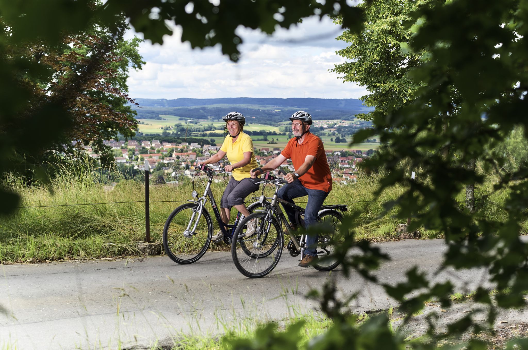


Other adventures around Rugendorf

Tips from the Community

Very nice, free facility. The only downside: dogs are not allowed!
1
0
Beautiful viewpoint. The KU 54 from Wartenfels passes by here (12 km circular hiking trail, well signposted). An overview board helps with orientation. You can use the bench at the information board for a break.
1
0

Very successful restoration of the natural bathing pond.
1
0

Fantastic, there are more places to sit around the Radspitzturm than on the entire Frankenweg up to this point.
0
0
Here you have a good view of the Staffelberg and the Gottesgarten. The area around here is unfortunately devastated.
1
0

A little hidden, but beautifully laid out. Worth a visit.
1
0

The HL should be better: "View of Rugendorf", because the town is not here, but far down in the valley! The view of the Franconian Forest is very beautiful from this spot, though!
6
0

The Frankenwaldverein's Radspitzalm is open every first Sunday of the month. opening hours Open every first Sunday of the month. (Source: https://www.outdooractive.com)
0
0
Frequently Asked Questions
How many hiking trails are available around Rugendorf?
Rugendorf offers a diverse network of over 35 hiking trails, catering to various preferences and skill levels. You'll find everything from easy strolls to more challenging routes through the Franconian Forest.
What types of landscapes can I expect to see while hiking in Rugendorf?
The hiking trails around Rugendorf traverse a varied landscape, including extensive woodlands of the Franconian Forest, rolling hills, and serene rivers. A notable natural feature is the Steinach Gorge, known for its unique rock formations and natural river course, offering a wild and romantic experience.
Are there any easy hiking trails suitable for beginners or casual walkers?
Yes, Rugendorf has plenty of options for easy hikes. Out of the 35 available routes, 23 are classified as easy. An example is the Rugendorf natural swimming pond – Losau Playground with Fountain loop from Rugendorf, which is a gentle 7 km path.
What are some notable landmarks or attractions I can explore on a hike?
Beyond the natural beauty, you can discover several points of interest. The Plassenburg Fortress in Kulmbach and the picturesque Nordeck Castle Ruins in Steinachtal are nearby historical sites. Within Rugendorf, you might encounter the 🏛️ Radspitz Tower, offering panoramic views, or the Rugendorfer Talsperre Nature Reserve, a haven for birdwatchers.
Are there any circular hiking routes in the area?
Many of the trails around Rugendorf are designed as circular routes, allowing you to start and end at the same point. For instance, the 🏛️ Radspitz Tower – Radspitz Alm loop from Rugendorf is a popular circular hike covering about 11.2 km.
What is the best time of year to go hiking in Rugendorf?
The best seasons for outdoor activities in Rugendorf are generally from spring to autumn. During these months, the weather is most favorable for enjoying the natural beauty and the extensive trail network, with lush greenery in spring and vibrant colors in autumn.
What do other hikers say about the trails in Rugendorf?
The hiking routes in Rugendorf are highly regarded by the komoot community, holding an average rating of 4.3 out of 5 stars from over 50 reviews. Hikers often praise the quiet woodlands, varied terrain, and well-maintained paths that make for an enjoyable experience.
Are there any routes that pass by water features like lakes or rivers?
Yes, several routes incorporate water features. The 🏊 Rugendorf Natural Swimming Pond – Diabase Quarry Rugendorf loop from Rugendorf explores the area around the natural swimming pond. Additionally, the region is characterized by idyllic rivers, and you can find highlights like the Confluence of the White Main and Red Main nearby.
Can I find challenging hikes in Rugendorf?
While Rugendorf offers many easy and moderate trails, there are also options for more experienced hikers seeking a challenge. For example, the Radspitz Alm – 🏛️ Radspitz Tower loop from Rugendorf is classified as a difficult route, covering over 18 km with significant elevation changes.
Are there any specific nature reserves or protected areas to explore?
Yes, the Rugendorfer Talsperre Nature Reserve is a significant protected area and considered one of the most beautiful spots in Rugendorf. It's particularly popular with birdwatchers due to the variety of species, including rare birds, that can be observed there.
Is there parking available at the trailheads in Rugendorf?
Rugendorf is well-equipped for hikers, and you can generally find parking options near the starting points of many trails. Specific parking information for individual routes can often be found on the respective komoot tour pages.
Are the hiking trails in Rugendorf suitable for families with children?
Many trails in Rugendorf are suitable for families, especially the easier and shorter routes. The varied landscape and points of interest like the natural swimming pond or playgrounds along some paths make them enjoyable for children. Always check the route's difficulty and length to ensure it matches your family's capabilities.
Most popular routes around Rugendorf
Most popular attractions around Rugendorf

Get inspired with the komoot mobile app


Explore more
Browse the best Hikes in other regions.
