The best cycling routes around Moimacco
4.4
(3710)
25,809
riders
14
rides
Touring cycling routes around Moimacco traverse a landscape characterized by river valleys, rolling hills, and occasional steeper ascents. The region features waterways such as the Natisone and Malina rivers, offering routes along their banks. Elevations vary, with some trails leading into hillier terrain, providing diverse cycling experiences.
Best touring cycling routes around Moimacco
- The most popular touring cycling route is Rifugio Pelizzo – Rifugio Pelizzo loop from Remanzacco / Remanzâs, a 45.5 miles (73.2 km) trail that takes 5…
Last updated: October 11, 2026
5.0
(4)
126
riders
60.6km
04:27
1,300m
1,300m
Hard bike ride. Very good fitness required. Mostly paved surfaces. Suitable for all skill levels.
4.6
(20)
114
riders
40.1km
02:32
300m
300m
Moderate bike ride. Good fitness required. Mostly paved surfaces. Suitable for all skill levels.

4.8
(6)
54
riders
70.8km
04:44
1,070m
1,070m
Hard bike ride. Very good fitness required. Mostly paved surfaces. Suitable for all skill levels.
4.5
(6)
34
riders
Hard bike ride. Very good fitness required. Mostly paved surfaces. Suitable for all skill levels.
12
riders
82.3km
06:02
1,670m
1,670m
Hard bike ride. Very good fitness required. Mostly paved surfaces. Suitable for all skill levels.
Get access to more routes and recommendations from other explorers.
Already have an account?
Our route recommendations are based on thousands of hikes, rides, and runs completed by other people on komoot.
Start today with a free account
Your next adventure awaits.

Tips from the Community

🌉 Napoleon Bridge (Napoleonov most) The stone arch bridge spans the narrow gorge of the Soča on the outskirts of Kobarid and is one of the town's landmarks. The first stone arch was built in 1750; the bridge got its name because Napoleon's troops crossed it in 1797 on their way to Austria. At the beginning of World War I, in 1915, it was blown up by the retreating Austro-Hungarian army and rebuilt by the Italians. Today it is part of the Kobariška zgodovinska pot and marks the transition from the town to the hiking and kayaking world of the upper Soča. 📸 Best view from the bridge itself down into the gorge – the water glows particularly intensely here 🏊 Below the bridge there are popular swimming spots; entry via the path on the east bank 🛶 Entry point for kayak and rafting tours – correspondingly busy on warm days 🅿️ Small parking lot directly at the bridge, access via the road towards Drežnica 🥾 From here it is only a few minutes to the center of Kobarid
0
0
The three-nave church on the main square stands on the site of a predecessor building from the 12th century; Kobarid itself is first mentioned in 1015. A town fire destroyed the church and 30 houses in 1683, only the choir was preserved. The current nave with the massive pillars was built in 1824–32, next to it the free-standing bell tower. Inside, the baroque marble altar from 1716 from Görz, behind it a statue of Mary by a Carinthian master from around 1470, which is usually hidden by an Assumption painting. The organ from 1876 comes from the well-known Slovenian organ builder Franc Goršič. ▫️ Sunday mass at 9:30 am, weekdays in the evening – often closed outside of services, but a look through the grate is still worthwhile ▫️ Patron saint's day on August 15th, called "Rožnica" in the village, with a church consecration festival ▫️ The tower is the best landmark in the village and is visible from afar on the road to Idrsko
0
0
🏘️ Kobarid (Karfreit / Caporetto) Small town with around 1,000 inhabitants at the confluence of the Soča and Nadiža rivers, framed by Krn, Stol and Matajur. It became world-famous in 1917 due to the 12th Battle of the Isonzo, the "Breakthrough at Karfreit", which Hemingway immortalized in "A Farewell to Arms". Between the World Wars, Kobarid belonged to Italy, and since 1947 to Slovenia. Today, the town thrives on hikers, whitewater sports, and amazing gastronomy – with Hiša Franko, it boasts a world-class restaurant. ▫️ Kobariški muzej (Kobarid Museum) on World War I – European Museum of the Year 1993, also worthwhile in the rain ▫️ Italian Ossuary with the Church of St. Anthony on the hill above the town ▫️ Napoleon Bridge over the Soča on the outskirts of the town, starting point for the Kozjak waterfall ▫️ Kobarid Historical Trail: 5 km circular route to front lines, bridge, and waterfall ▫️ Good parking facilities on the outskirts of the town; it is narrow in the center
0
0

The name Loggia di San Giovanni mainly refers to two important historical monuments located in the Friuli-Venezia Giulia region, each with profound architectural or cultural relevance
0
0

A great mountain hut with a platform terrace offering sensational panoramic views all the way to the Gulf of Trieste. In addition, there are panoramic views to the southeast towards Slovenia.
1
0
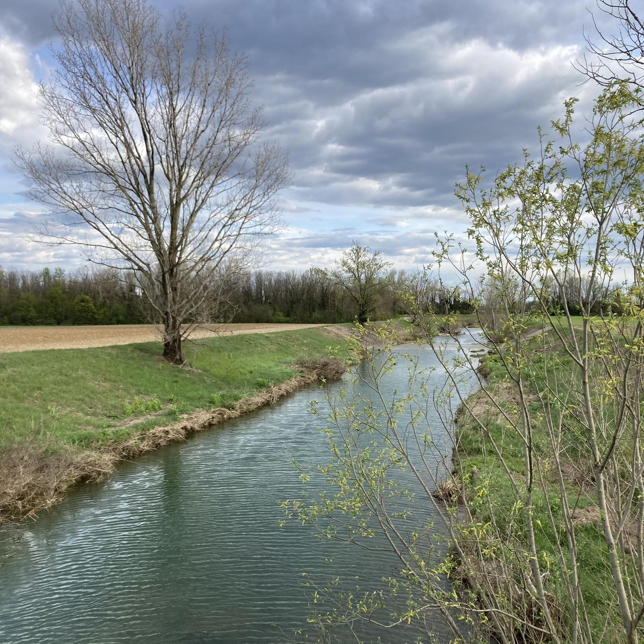
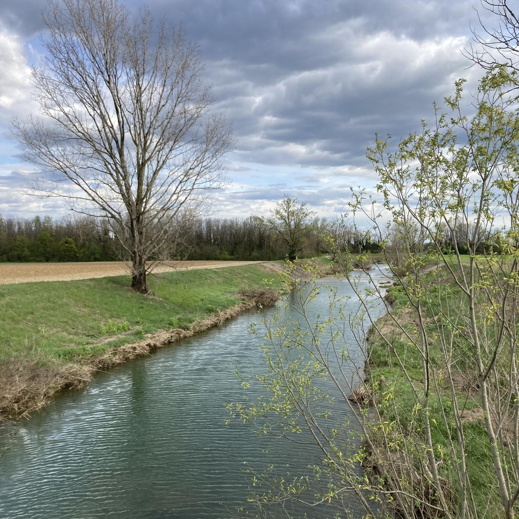
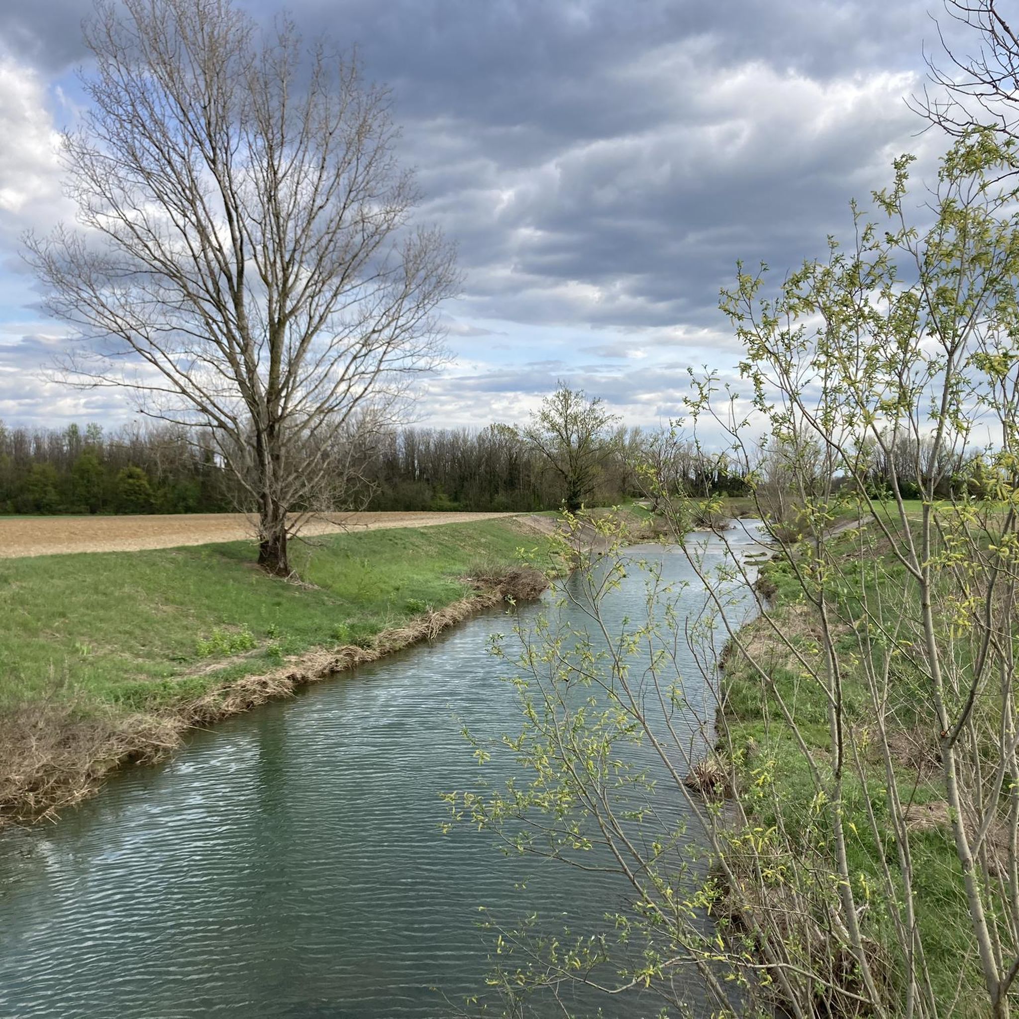
At this point, a real "retro bridge" crosses the river, offering beautiful views of the Natisone river.
0
0
In terms of construction, it is a classic bridge structure as is often used in the Natisone and Soča area. From the bridge, there are beautiful views of the Natisone river.
0
0
On the one hand, a good opportunity to fill the water bottles, on the other hand, the year on the fountain leads into a part of terrible past.
0
0
Frequently Asked Questions
How many touring cycling routes are available in Moimacco?
There are over 400 touring cycling routes around Moimacco, offering a wide range of options for different skill levels and preferences. This includes 133 easy routes, 131 moderate routes, and 150 difficult routes.
Are there easy touring cycling routes suitable for beginners in Moimacco?
Yes, Moimacco offers a good selection of easy touring cycling routes. Many of these follow the riverbanks, providing relatively flat and gentle terrain. For example, the Bridge over the Natisone – Banks of the Natisone River loop from Moimacco is a moderate route that follows the Natisone River, offering a mix of flat and gently rolling terrain suitable for those looking for a less strenuous ride.
What are some challenging touring cycling routes for experienced riders in Moimacco?
Experienced cyclists looking for a challenge will find several difficult routes with significant elevation gain. The Rifugio Pelizzo – Rifugio Pelizzo loop from Remanzacco / Remanzâs is a demanding 45.5-mile (73.2 km) trail with over 1300 meters of elevation gain. Another option is the Cima Porzus – Pian delle Farcadizze loop from Case del Bivio, which leads through hilly landscapes.
Are there any circular touring cycling routes around Moimacco?
Many of the touring cycling routes in Moimacco are designed as loops, allowing you to start and end at the same point. Examples include the Rifugio Pelizzo – Rifugio Pelizzo loop from Remanzacco / Remanzâs and the Aquileia Gate – Bridge over the Malina loop from Orzano / Orçan, which offers a moderate ride along the Malina River.
What kind of scenery can I expect on touring cycling routes in Moimacco?
The touring cycling routes around Moimacco offer diverse scenery, from tranquil river valleys along the Natisone and Malina rivers to rolling hills and more challenging mountainous terrain. You'll encounter picturesque landscapes, often with views of the surrounding countryside. Notable viewpoints include Pian delle Farcadizze and the View from Monte Joanaz.
What are some interesting landmarks or attractions to see along the touring cycling routes?
While cycling around Moimacco, you can explore various natural and historical attractions. Highlights include the Twin Waterfalls of Costapiana, the Monte Bernadia Cross, and the serene Giardino Loris Fortuna. For historical interest, consider visiting Udine Castle or the Castelmonte Sanctuary, which are accessible from some routes.
What is the best season for touring cycling in Moimacco?
The best seasons for touring cycling in Moimacco are generally spring (April to June) and autumn (September to October). During these months, the weather is typically mild, and the natural scenery is at its most vibrant, with comfortable temperatures for longer rides. Summer can also be pleasant, especially in the mornings or late afternoons, though it can get warmer.
What do other cyclists say about touring cycling in Moimacco?
The touring cycling routes in Moimacco are highly rated by the komoot community, with an average score of 4.4 stars from over 3700 reviews. Cyclists often praise the varied terrain, from scenic river paths to challenging hill climbs, and the well-maintained routes that allow for diverse cycling experiences.
Are there routes that follow the rivers in Moimacco?
Yes, many touring cycling routes in Moimacco are characterized by their proximity to waterways. You can find routes that traverse the banks of the Natisone and Malina rivers, offering pleasant rides with gentle gradients and scenic views. The Bridge over the Natisone – Banks of the Natisone River loop from Moimacco is a prime example, following the Natisone River.
What are the typical distances for touring cycling routes in Moimacco?
Touring cycling routes around Moimacco vary significantly in length. You can find shorter routes, such as the Cima Porzus – Pian delle Farcadizze loop from Case del Bivio at 21.7 miles (34.9 km), which can be completed in a few hours. Longer, more challenging routes like the Napoleon Bridge on the Nadiža – Soča Gorge loop from Moimacco extend over 50 miles (82 km) and require a full day.
Can I find places to stop for refreshments like cafes or pubs along the routes?
While specific cafes and pubs are not listed for every route, many touring cycling routes in Moimacco pass through or near small towns and villages where you can find local eateries, cafes, or 'osterias' to refuel. Planning your route in advance and checking for amenities in towns along your path is recommended.
Is public transport accessible for reaching touring cycling routes in Moimacco?
Moimacco is generally well-connected by local bus services, and some routes may be accessible from bus stops in nearby towns. However, specific information regarding bicycle transport on public services should be verified with local transport providers, as policies can vary. For routes starting further afield, consider driving to a suitable parking spot.
Where can I find parking for touring cycling routes in Moimacco?
Parking availability for touring cycling routes in Moimacco often depends on the specific starting point. Many routes begin in or near villages and towns where public parking lots or street parking may be available. For routes starting from more rural areas, look for designated parking at trailheads or inquire locally about suitable spots. Always ensure you park responsibly and legally.
Most popular attractions around Moimacco

Get inspired with the komoot mobile app


Explore more
Browse the best Cycling routes in other regions.
