The best road cycling routes around Tramonti Di Sotto
4.7
(95)
2,638
riders
113
rides
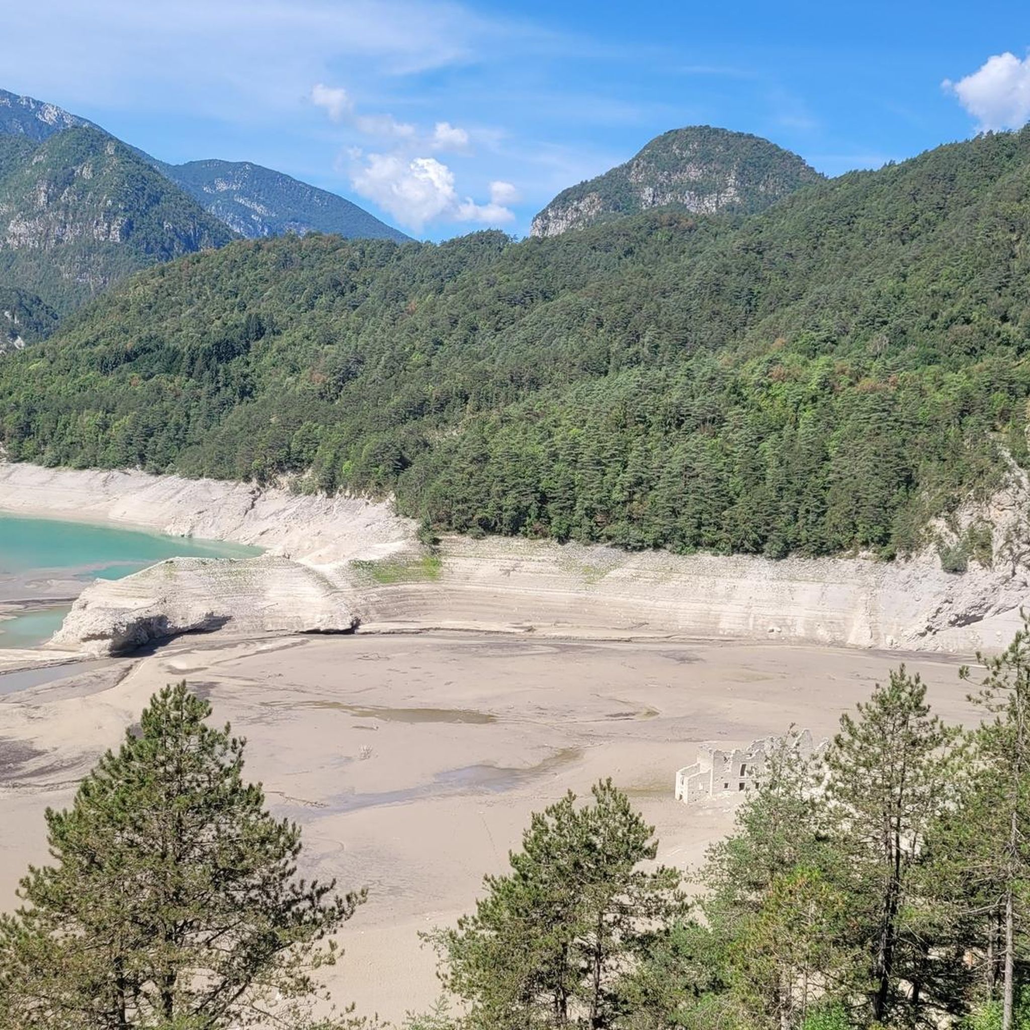
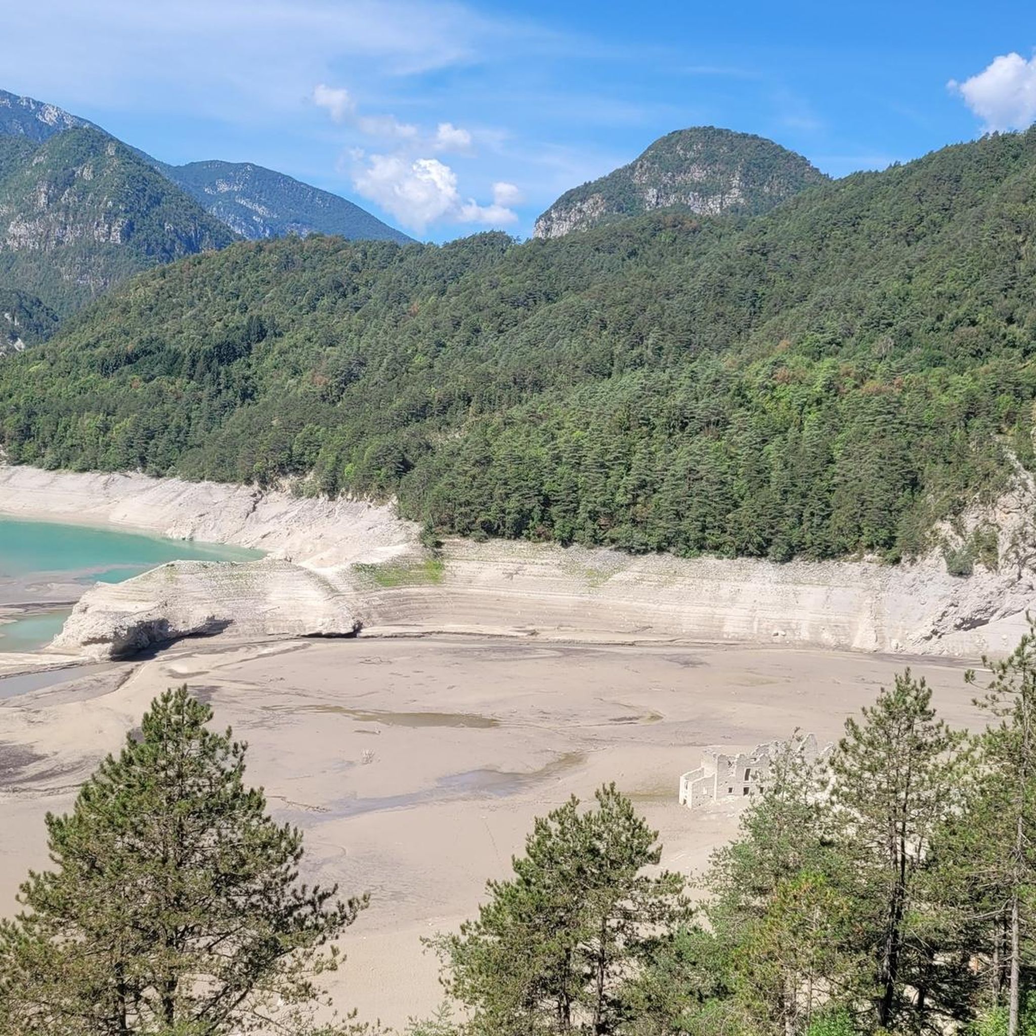
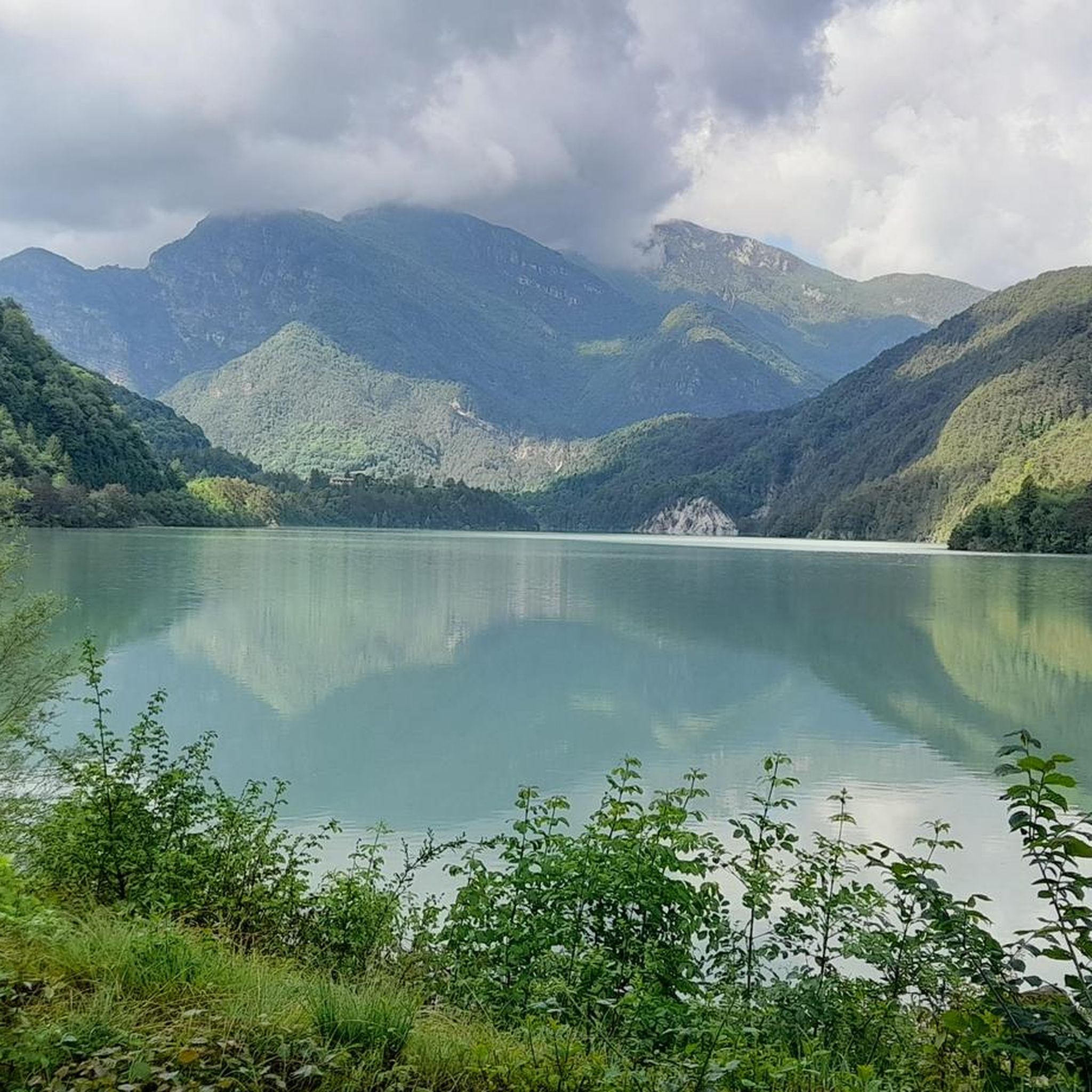
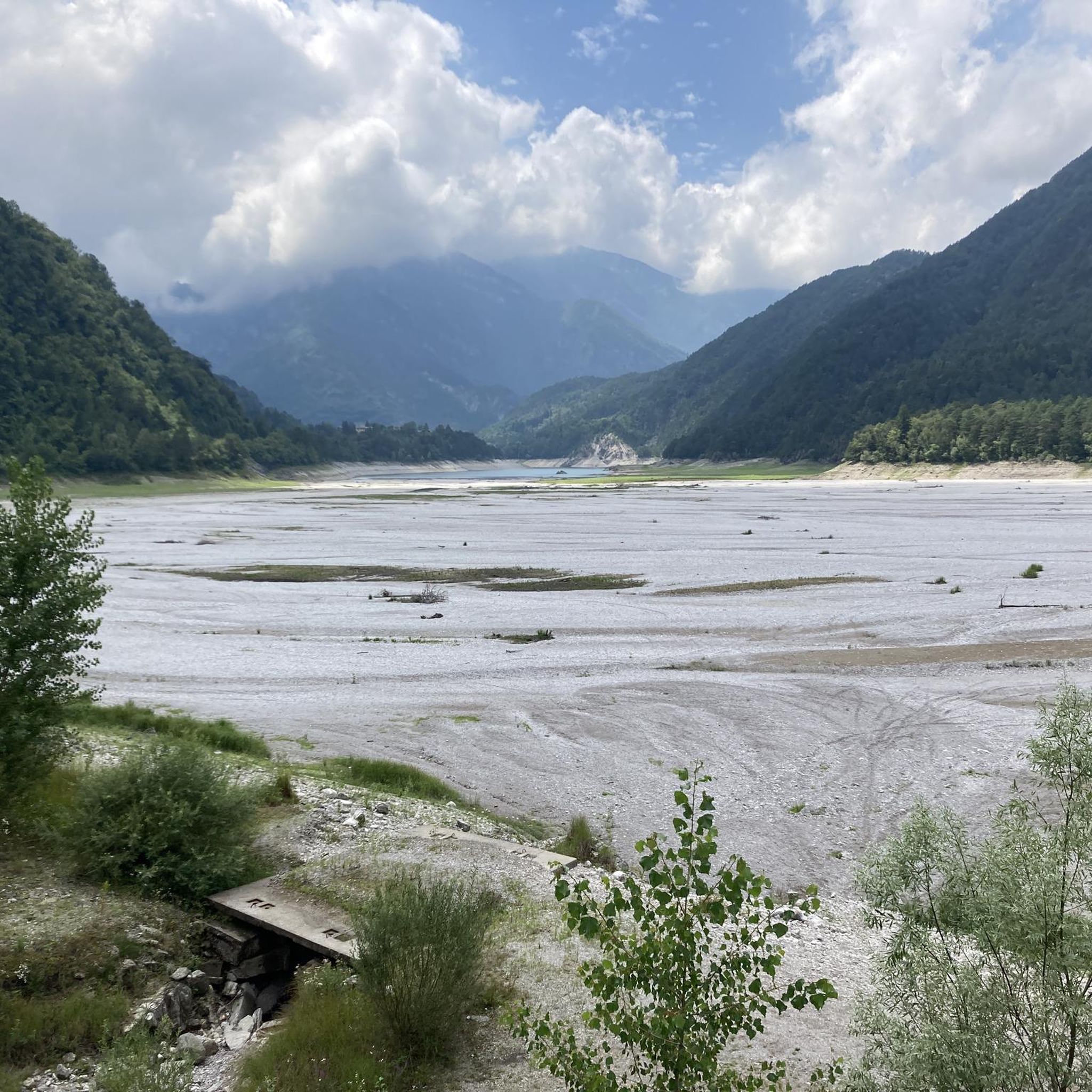
Road cycling routes around Tramonti Di Sotto traverse the diverse landscapes of Val Tramontina, characterized by mountainous reliefs such as the Carnic Prealps, Caserine Alte, and Monte Dosàip. The region offers varied terrain, from routes along the emerald green waters of Lake Tramonti to challenging ascents like Passo Rest. Cyclists can expect mostly paved surfaces, winding through valleys, past the Meduna River, and across plateaus. The area provides a range of experiences for road cyclists, from moderate rides to demanding climbs with significant elevation gains.
Best road cycling routes around Tramonti Di Sotto
- The most popular road cycling route is Passo Rest and Lake Tramonti Loop, a 68.0 miles (109.4 km) trail that takes 6 hours 27 minutes to complete. This difficult route features significant elevation gain and panoramic views of Lake Tramonti.
- Another top favourite among local road cyclists is Cellina Bridge – Ravedis Bridge loop from Fanna - Cavasso, a moderate 41.4 miles (66.6 km) path. This route offers a scenic loop through the local area, connecting key bridges.
- Local road cyclists also love the The hairpin bends of Sella Chianzutan – Sella Chianzutan loop from San Francesco / San Francesc, a 31.5 miles (50.7 km) trail leading through mountainous terrain with notable ascents, often completed in about 3 hours 9 minutes.
- Road cycling around Tramonti Di Sotto is defined by mountainous reliefs, the Val Tramontina, and Lake Tramonti. The network offers options for different ability levels, from moderate loops to difficult climbs.
- The routes in Tramonti Di Sotto are highly rated by the komoot community with an average score of 4.7 stars from over 100 reviews. More than 4000 road cyclists have used komoot to explore Tramonti Di Sotto's varied terrain.
Last updated: May 27, 2026
4.9
(7)
199
riders
109km
06:27
2,560m
2,560m
This difficult 68-mile road cycling loop climbs to Forcola di Monte Rest and returns via Valle di Preone, offering challenging terrain.
5.0
(5)
241
riders
112km
05:48
1,920m
1,920m
Hard road ride. Very good fitness required. Mostly well-paved surfaces and easy to ride.

Sign up for free
4.5
(4)
73
riders
66.6km
02:47
390m
390m
Moderate road ride. Good fitness required. Mostly well-paved surfaces and easy to ride.
4.8
(6)
92
riders
Hard road ride. Very good fitness required. Some segments of this route may be unpaved and difficult to ride.
5.0
(1)
42
riders
86.2km
03:43
660m
660m
Moderate road ride. Good fitness required. Mostly well-paved surfaces and easy to ride.
Get access to more routes and recommendations from other explorers.
Sign up for free
Already have an account?
Our route recommendations are based on thousands of hikes, rides, and runs completed by other people on komoot.
Start today with a free account
Your next adventure awaits.
Login or Signup

Tips from the Community

The former hydroelectric power plant "Antonio Pitter" in Malnisio, located in Montereale Valcellina, represents one of the greatest examples of industrial archaeology in Italy. Inaugurated in 1905, this structure was a technological marvel that allowed St. Mark's Square in Venice to be illuminated for the first time, marking the North-East's transition to modernity. The building is striking for its monumental architecture that hides period machinery still perfectly preserved, resembling cinematic sets. Today the site is a museum and a scientific center where it is possible to retrace the journey of water descending from the mountains to be transformed into energy. Walking in the surroundings allows you to discover the old pipelines and enjoy a unique natural landscape, suspended between history and engineering.
0
0

A magnificent position to cast a wide gaze north and south over the Tagliamento.
0
0
The novel bridge combines historical elements. It is worth stopping at both bridge entrances to enjoy the views of the Tagliamento and the hills.
1
0


Magnificent, quiet asphalt road in a lonely, wild mountain world
0
0

An Austrian imperial-royal fort. Plans for it to be transformed into a monumental cemetery, traces of which can be seen climbing the hill. Unfortunately, the project was later abandoned.
1
0

The ancient church, first mentioned in a document from 1190, but with works of art dating from the period of the spread of Christianity in the late 4th century and the early Middle Ages, was restored at the end of the 13th century under the direction of the architect and sculptor John and completed by Giovanni Griglio in the third or fourth decade of the 14th century. The temple was re-consecrated on Pentecost 1337.
1
0
The Cathedral of Gemona, like most of the buildings here, was destroyed in the epicenter of the 1976 earthquakes (May 6th with magnitude X MM scale, September 11th VII-VIII MCS scale, September 15th X MCS scale).
1
0
Frequently Asked Questions
How many road cycling routes are available in Tramonti Di Sotto?
There are nearly 100 road cycling routes around Tramonti Di Sotto, offering a wide range of options for different skill levels. You'll find everything from moderate loops to challenging mountain climbs.
What kind of terrain can I expect when road cycling in Tramonti Di Sotto?
Road cycling in Tramonti Di Sotto offers diverse terrain. You'll encounter mountainous reliefs like Caserine Alte and Monte Dosàip, scenic routes along the emerald green waters of Lake Tramonti, and paths winding through valleys and across plateaus. The routes are predominantly paved, suitable for road bikes, and include challenging ascents such as Passo Rest.
What are some notable natural features or landmarks I can see along road cycling routes in Tramonti Di Sotto?
Many routes offer stunning views of natural features. You can cycle past the striking emerald green waters of Lake Tramonti, or enjoy views of the Meduna River. For those interested in geological formations, the nearby Grotte di Pradis are a natural attraction. The historic Armistice Bridge over the Arzino is another point of interest.
Are there challenging climbs for experienced road cyclists in the area?
Yes, Tramonti Di Sotto is known for its challenging climbs. The Passo Rest area is a real gem for climbers, offering demanding and rewarding ascents. The Passo Rest and Lake Tramonti Loop, for example, features significant elevation gain over its 109 km.
Are there any easy or moderate road cycling routes suitable for less experienced riders?
Absolutely. While there are challenging routes, Tramonti Di Sotto also offers easier options. For instance, the Cellina Bridge – Ravedis Bridge loop from Fanna - Cavasso is a moderate 34 km path that provides a scenic ride without extreme elevation. There are 15 easy and 50 moderate routes available.
What do other road cyclists say about the routes in Tramonti Di Sotto?
The road cycling routes in Tramonti Di Sotto are highly regarded by the komoot community, with an average score of 4.7 stars from over 140 reviews. Cyclists often praise the varied terrain, from scenic lake routes to challenging mountain passes, and the preserved natural environment.
Can I find circular road cycling routes in Tramonti Di Sotto?
Yes, many road cycling routes in Tramonti Di Sotto are designed as loops. Examples include the challenging Passo Rest and Lake Tramonti Loop and the moderate Cellina Bridge – Maniago loop from Fanna - Cavasso, which takes you through the Cellina Valley.
What is the best season for road cycling in Tramonti Di Sotto?
The region's diverse landscapes suggest that spring and autumn are ideal for road cycling, offering pleasant temperatures and vibrant scenery. Summer can also be suitable, especially for higher elevation routes, while winter might be challenging due to mountainous conditions.
Are there any specific villages or historical sites worth visiting by bike?
Yes, the region offers charming villages and historical sites. The old village of Tamàr and the village of Pàlcoda provide thematic excursions. The ecomuseum route, part of the Ecomuseo delle Dolomiti Friulane Lis Aganis, offers insights into local heritage. The picturesque Poffabro Village is also particularly charming, especially during certain seasons.
Are there any waterfalls or gorges accessible by road bike in the area?
While some gorges might be more suited for hiking or mountain biking, the region features natural attractions like the Butines Waterfalls and the Arzino Valley, which can be part of a scenic ride. The Old Road Along the Calvare di Jouf Gorge is another notable feature.
Is there parking available for cyclists in Tramonti Di Sotto?
While specific parking areas for cyclists are not detailed, Tramonti Di Sotto is a destination well-equipped for outdoor activities. It is generally advisable to look for public parking facilities within the town center or near popular trailheads, which are usually available in such tourist-friendly regions.
Can I combine road cycling with exploring other attractions in the Friulian Dolomites Natural Park?
Yes, a significant portion of the nearby Tramonti di Sopra municipality falls within the Friulian Dolomites Natural Park. This means you can easily combine road cycling with exploring the pristine natural beauty of the wider Val Tramontina, including its mountainous reliefs and hidden valleys.
Most popular routes around Tramonti Di Sotto
Most popular attractions around Tramonti Di Sotto

Get inspired with the komoot mobile app


Explore more
Browse the best Road cycling routes in other regions.
