The best MTB trails around Tramonti Di Sotto
4.4
(388)
2,957
riders
167
rides
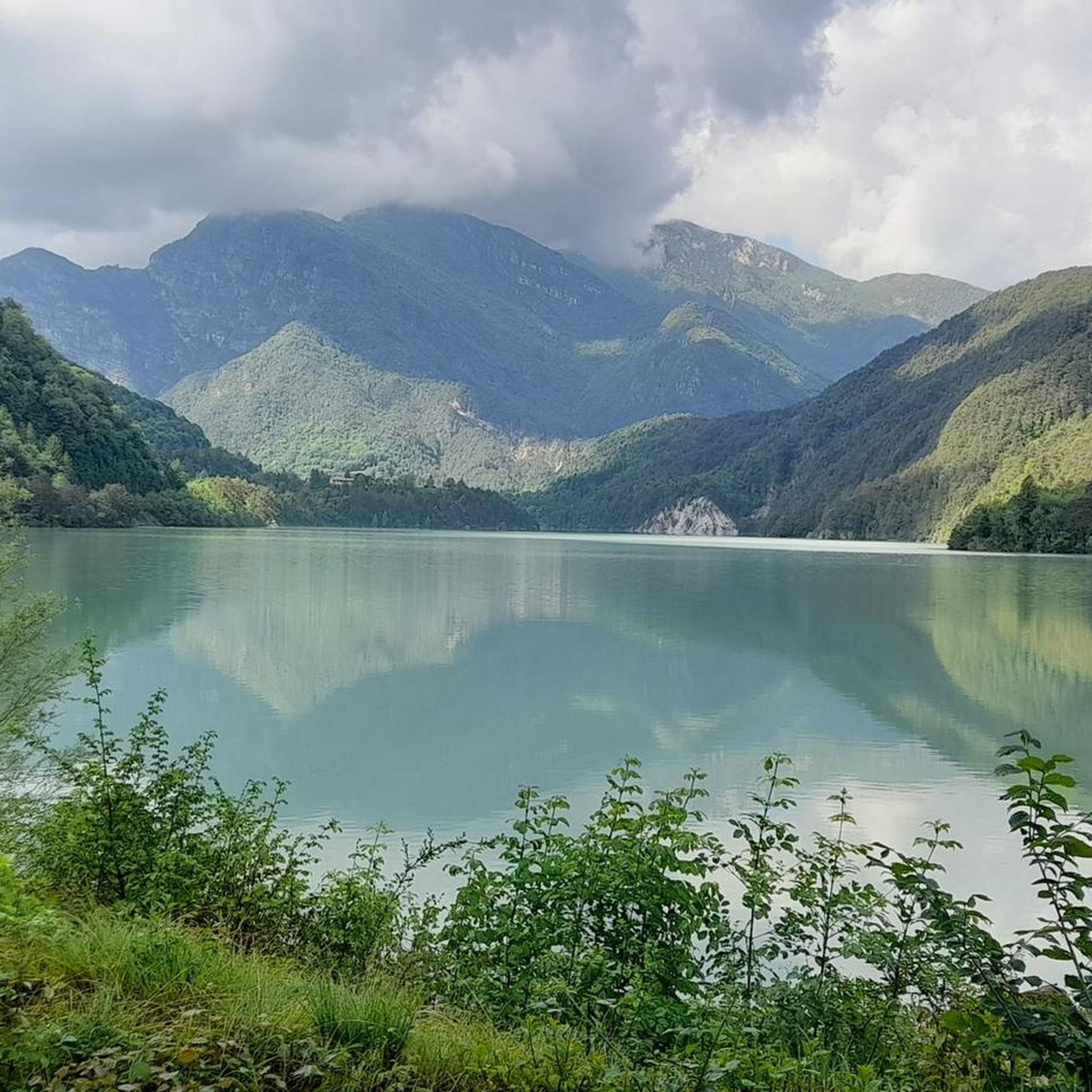
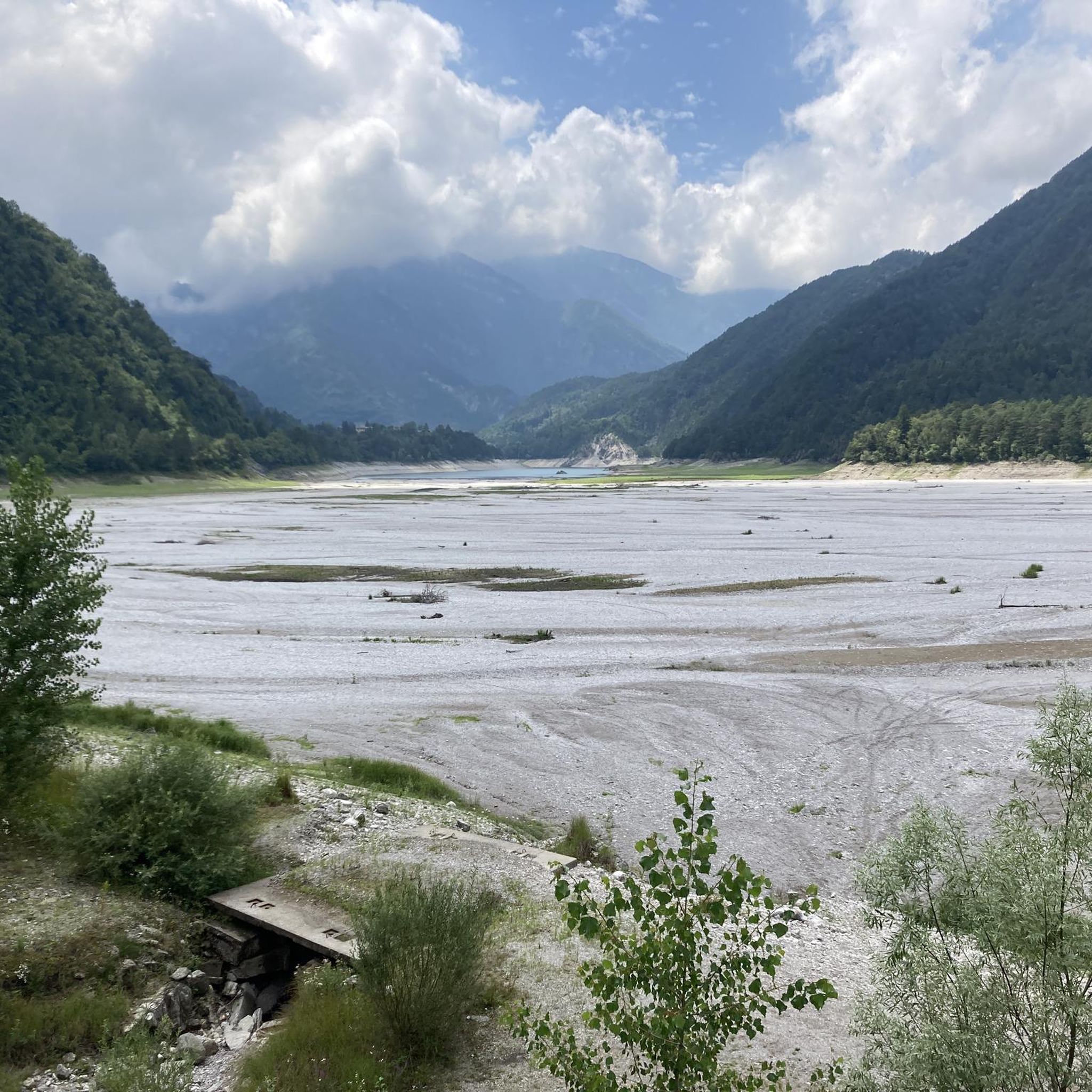
Mountain bike trails around Tramonti Di Sotto are set within the Carnic Pre-Alps, offering a diverse natural landscape for cycling. The region features rugged mountainous terrain with numerous peaks and canyons, alongside clear waters from lakes like Tramonti and Redona, and the Cellina stream. Dense forests, such as the Bosco delle Agane, provide shaded sections, while varied elevations challenge riders across its routes.
Best mountain bike trails around Tramonti Di Sotto
- The most popular mountain bike trail is Redona Dam – Mount Valinis loop from Tramonti di Sotto / Tramonç Disot - Vildisot, a 24.3 miles (39.2 km) trail that takes 3 hours 18 minutes to complete. This difficult route offers significant elevation gain through mountainous terrain.
- Another top favourite among local mountain bikers is Mountainbike loop from Pradis di Sotto / Pradis Dabàs, a difficult 20.1 miles (32.4 km) path. This route features substantial climbing and descends through varied landscapes.
- Local mountain bikers also love the Castello Ceconi – Malga Jovet loop from Pielungo / Pielunc, a 14.6 miles (23.6 km) trail leading through mountainous areas with notable elevation changes, often completed in about 2 hours 59 minutes.
- Mountain biking around Tramonti Di Sotto is defined by rugged mountainous terrain, clear waters from lakes and streams, and dense forests. The network offers options for easy, moderate, and difficult routes, catering to different ability levels.
- The routes in Tramonti Di Sotto are highly rated by the komoot community with an average score of 4.3 stars from over 490 reviews. More than 3900 mountain bikers have used komoot to explore Tramonti Di Sotto's varied terrain.
Last updated: July 4, 2026
4.5
(10)
51
riders
39.0km
03:13
1,010m
1,010m
Hard mountain bike ride. Very good fitness required. Advanced riding skills necessary. Some portions of the route may require you to push your bike.
4.3
(6)
21
riders
23.6km
02:59
1,040m
1,040m
Hard mountain bike ride. Very good fitness required. Suitable for all skill levels.

Sign up for free
1.0
(1)
7
riders
Hard mountain bike ride. Very good fitness required. Advanced riding skills necessary. Some portions of the route may require you to push your bike.
1.0
(1)
15
riders
30.2km
02:06
590m
590m
Moderate mountain bike ride. Good fitness required. Suitable for all skill levels.
3.0
(3)
24
riders
Hard mountain bike ride. Good fitness required. Advanced riding skills necessary. Some portions of the route may require you to push your bike.
Get access to more routes and recommendations from other explorers.
Sign up for free
Already have an account?
Our route recommendations are based on thousands of hikes, rides, and runs completed by other people on komoot.
Start today with a free account
Your next adventure awaits.
Login or Signup

Tips from the Community

Immersed in the woods of Val d'Arzino, in the municipality of Vito d'Asio, Castello Ceconi is a fascinating eclectic residence that seems to have come out of a medieval fairy tale. Built at the end of the 19th century by Count Giacomo Ceconi, a humble local stonemason who became a famous engineer and amassed a fortune building railways across Europe, the building blends neo-Gothic and Renaissance elements. The facade is decorated with mullioned windows, battlements, and frescoes depicting great figures from Italian history, as well as statues celebrating work and progress. Damaged by the 1976 earthquake and subsequently restored, the castle is now privately owned and houses a prestigious international school for advanced technological training, remaining a symbol of redemption and connection to the Friulian territory.
0
0
The Church of Sant'Antonio da Padova, located in the hilly hamlet of Pielungo in the municipality of Vito d'Asio, is a sacred building of great importance to the local community. Built between the 19th and 20th centuries on the site of a former cemetery, the structure blends harmoniously into the landscape of the Val d'Arzino, with its bell tower towering over the inhabited center. Inside, the church houses a valuable artistic heritage. Particularly noteworthy are the frescoes in the choir executed in 1905 by the Friulian painter Francesco Barazzutti, as well as the refined Carrara marble altars enriched with mosaic details, created by Tuscan artisans. Deeply linked to the history of local emigration, the church has always been the spiritual and identity reference point for the "pielungans" scattered around the world.
0
0

Magnificent, quiet asphalt road in a lonely, wild mountain world
0
0

Splendid Castle one kilometre from Pielungo, clearly visible from the Mulattiere Path and former Military Path towards Monte Forno and Pradis
0
0

crossroads of paths and dirt roads to Mount Cereis and Mount Valinis, as well as the connection to Lake Redona
0
0

Parish Church of San Francesco d'Assisi in Val d'Arzino. These places once had a parish priest who devoted himself entirely to the care of souls. Times have changed; now in this land, one priest oversees nine parishes.
0
0
Casera bivouac Presoldon, 1314 metres, located on the forest road serving the quarry.
0
0

In the direction I chose, the ride is accessible to everyone up to the waterfalls. Then the climb goes from difficult due to the steepness and rocks to an impossible scree. Without electric assistance, you need to be not only physically fit but also expert.
0
0
Frequently Asked Questions
How many mountain bike trails are available in Tramonti Di Sotto?
Tramonti Di Sotto offers a wide network of mountain bike trails, with over 150 routes available. These trails cater to various skill levels, from easy paths to challenging mountainous ascents.
What kind of terrain can I expect on mountain bike trails in Tramonti Di Sotto?
The terrain in Tramonti Di Sotto is diverse, characterized by the rugged Carnic Pre-Alps. You'll encounter significant elevation changes, dense forests like the Bosco delle Agane, and clear waters from lakes such as Lake Tramonti (Redona) and the Meduna River. Trails often wind through mountainous areas, offering panoramic views and a mix of challenging climbs and descents.
Are there mountain bike trails suitable for beginners or families in Tramonti Di Sotto?
Yes, Tramonti Di Sotto has options for less experienced riders and families. While many routes are challenging, there are 21 easy trails and 77 moderate routes available. These often follow panoramic paths along rivers or around the lake, providing a gentler experience amidst the beautiful scenery.
What are some challenging mountain bike routes for experienced riders?
For experienced mountain bikers seeking a challenge, Tramonti Di Sotto offers numerous difficult routes. Consider the Redona Dam – Mount Valinis loop from Tramonti di Sotto, a demanding 39.2 km trail with significant elevation gain. Another option is the Mountainbike loop from Pradis di Sotto, which features substantial climbing through varied landscapes.
Are there any natural features or landmarks to see while mountain biking?
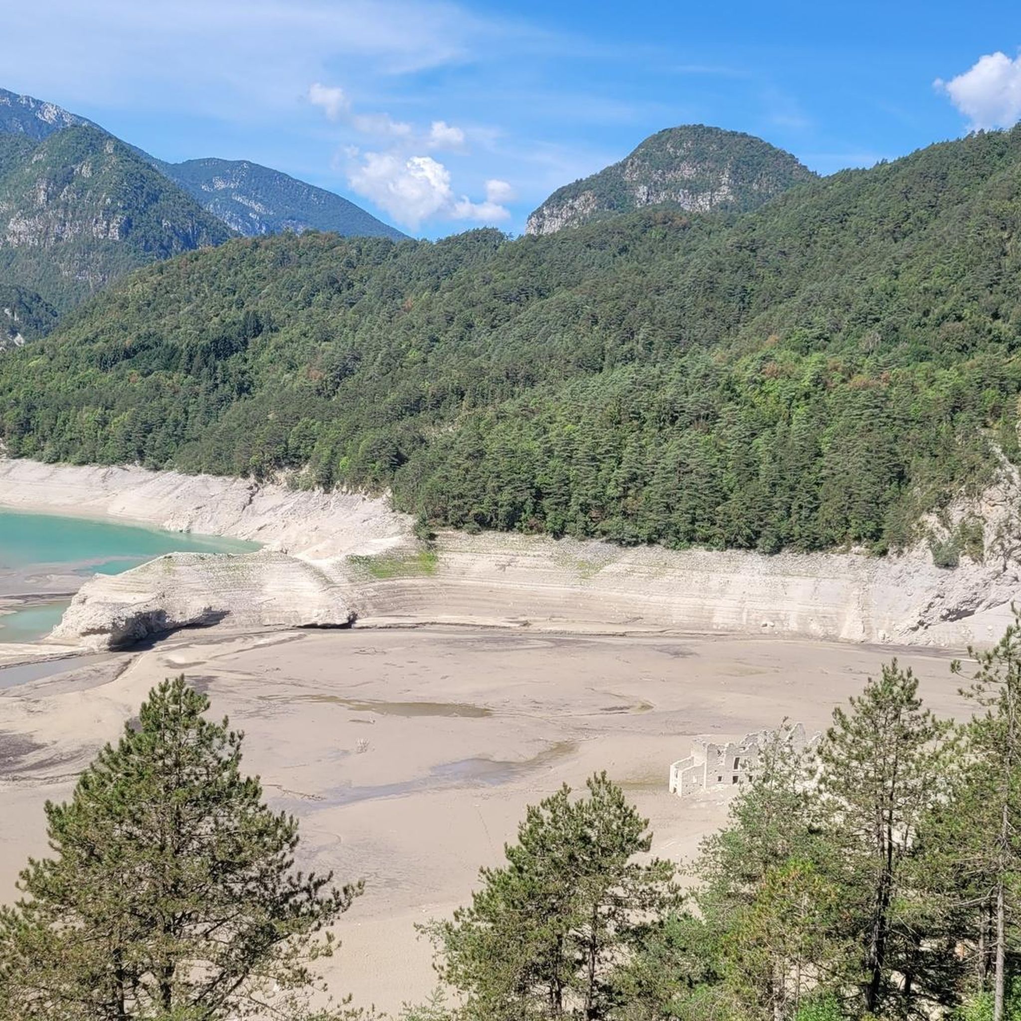
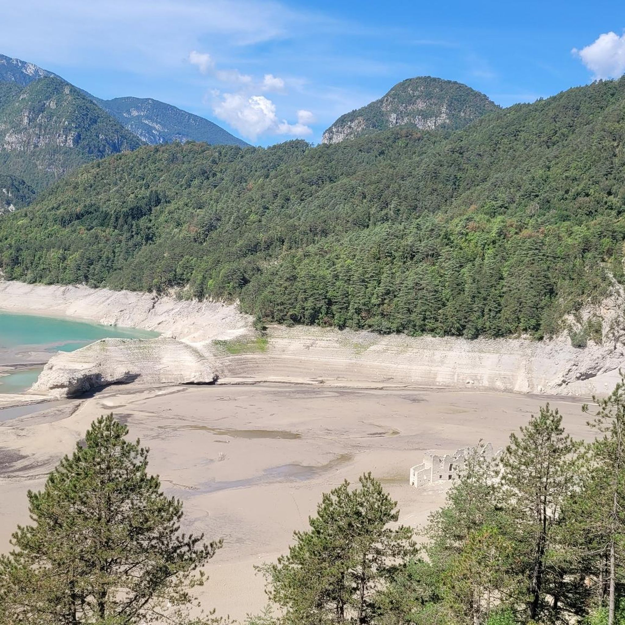
Absolutely. The region is rich in natural beauty and historical points. You can explore the unique artificial Lake Tramonti (Redona), where submerged houses are visible at low water levels, or follow the Meduna River for breathtaking views. The area is also part of the Dolomiti Friulane Natural Park, ensuring pristine environments.
Can I find caves or mountain passes along the trails?
Yes, the region boasts natural monuments like caves and mountain passes. You can find highlights such as Grotte di Pradis, a notable cave system, or traverse mountain passes like Passo Rest and Sella Chianzutan Pass, which often offer stunning views and challenging ascents.
What do other mountain bikers say about the trails in Tramonti Di Sotto?
The mountain bike trails in Tramonti Di Sotto are highly regarded by the komoot community, with an average rating of 4.3 stars from over 490 reviews. Riders often praise the diverse terrain, the immersive natural environment, and the challenging yet rewarding routes through the Carnic Pre-Alps.
Are there circular mountain bike routes available in Tramonti Di Sotto?
Yes, many of the mountain bike routes in Tramonti Di Sotto are designed as circular loops, allowing you to start and finish at the same point. An example is the Castello Ceconi – Malga Jovet loop from Pielungo, which takes you through mountainous areas with notable elevation changes.
What is the best time of year for mountain biking in Tramonti Di Sotto?
The best time for mountain biking in Tramonti Di Sotto is typically during the spring, summer, and early autumn months. These seasons offer more stable weather conditions, allowing for full enjoyment of the mountainous terrain and natural landscapes. Winter can bring snow and colder temperatures, making many trails inaccessible or more challenging.
Are mountain bike trails in Tramonti Di Sotto dog-friendly?
While many outdoor areas in Italy are generally welcoming to dogs, specific regulations can vary within protected areas like the Dolomiti Friulane Natural Park. It's always advisable to keep dogs on a leash, especially in areas with wildlife, and to check local signage or park guidelines for any specific restrictions on trails you plan to ride.
Are there any routes that feature stream crossings or historical sites?
Yes, some routes incorporate unique features like stream crossings and historical elements. For instance, the Stream Crossing – Necropolis of Thunari di Sotto loop from Tramonti di Sotto offers both natural water features and a glimpse into ancient history. The region also features historical points like the Armistice Bridge over the Arzino, dating back to 1916.
Most popular routes around Tramonti Di Sotto
Most popular attractions around Tramonti Di Sotto

Get inspired with the komoot mobile app


Explore more
Browse the best MTB trails in other regions.
