The best MTB trails around Villa Santina
4.8
(100)
484
riders
25
rides
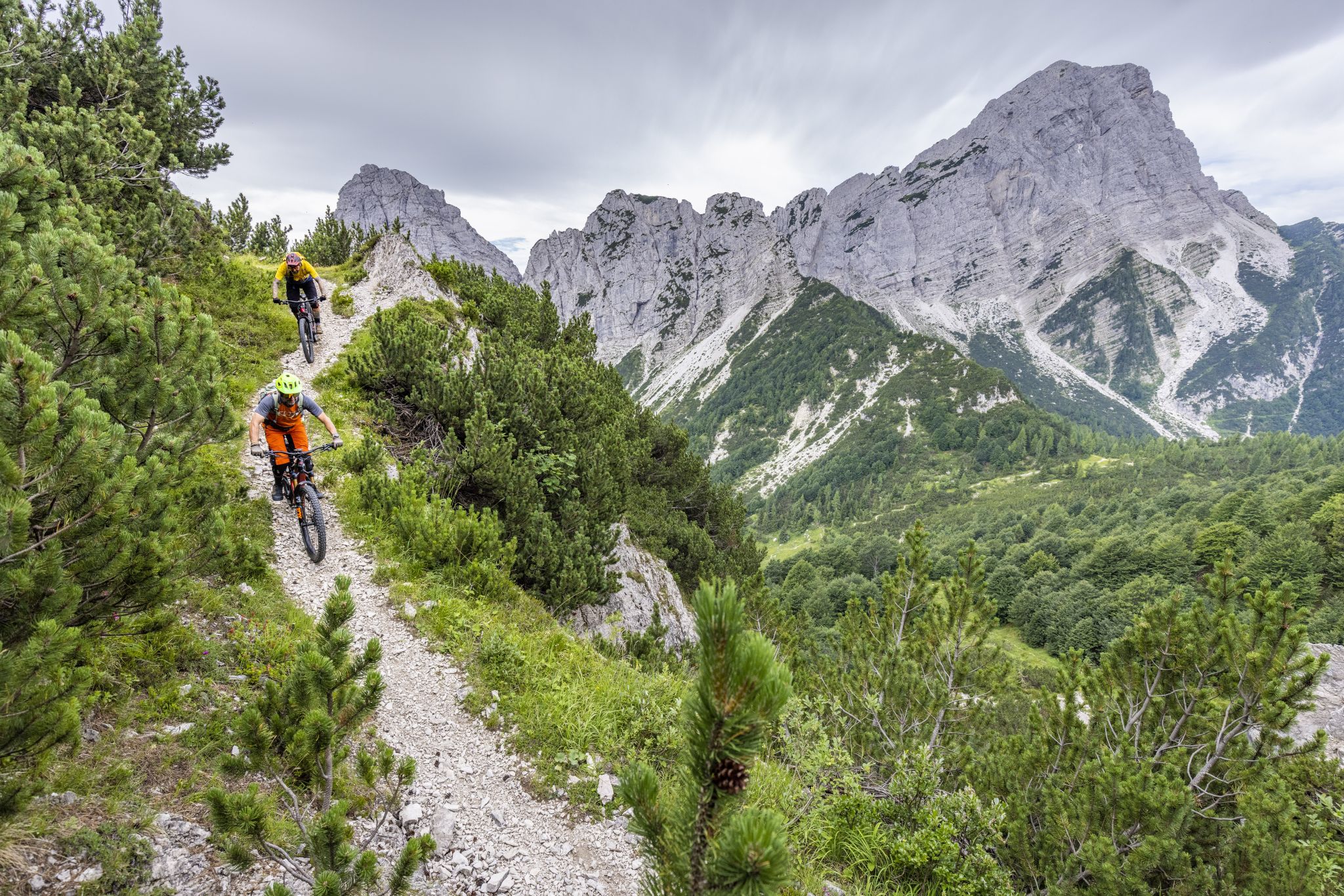
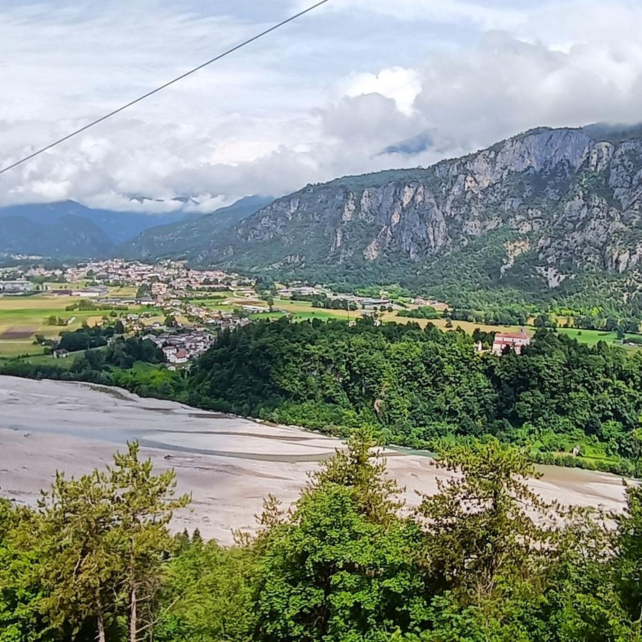
Mountain biking around Villa Santina, situated in Italy's Friuli-Venezia Giulia region, features a diverse landscape ideal for mountain biking. The area is characterized by the challenging ascents of the Carnic Alps and the scenic backdrops of the Friulian Dolomites. Trails often follow the course of the Tagliamento River, providing a mix of riverside paths and more demanding mountain routes. This region offers varied terrain for mountain bikers seeking different levels of challenge.
Best mountain bike trails around Villa Santina
- The…
Last updated: October 8, 2026
4.1
(17)
69
riders
41.8km
03:57
1,450m
1,450m
Hard mountain bike ride. Very good fitness required. Suitable for all skill levels.
48
riders
53.1km
04:57
1,480m
1,480m
Hard mountain bike ride. Very good fitness required. Suitable for all skill levels.

4.7
(6)
41
riders
36.7km
03:16
1,120m
1,120m
Hard mountain bike ride. Very good fitness required. Suitable for all skill levels.
5.0
(6)
41
riders
58.8km
05:16
1,870m
1,870m
Hard mountain bike ride. Very good fitness required. Advanced riding skills necessary.
4.8
(5)
18
riders
41.5km
04:25
1,540m
1,540m
Hard mountain bike ride. Very good fitness required. Advanced riding skills necessary. Some portions of the route may require you to push your bike.
Get access to more routes and recommendations from other explorers.
Already have an account?
Our route recommendations are based on thousands of hikes, rides, and runs completed by other people on komoot.
Start today with a free account
Your next adventure awaits.


Other adventures around Villa Santina

Tips from the Community


Three unlit, relatively narrow tunnels
2
0
Hammer route with luggage managed, but took the cable car, descent was grandiose, similarly crazy as the Col de la Loze.
2
0
Managed with luggage, even if it was just the cable car. Dream pass and great descent.
2
0

Located directly on the cycle path, the small church fits perfectly into this area.
0
0
End of the ascent on asphalt and concrete path. From here, gravel, initially fine, then coarse and occasionally washed out, will be your constant companion up to Malga Claupa.
0
0
A mountain hut with livestock farming, without catering. It is located on a saddle-like elevation in a small basin. The views and vistas to the east are phenomenal.
0
0
Adventurous-looking trail on fine and coarse gravel. It leads over switchbacks, along rock ledges, through the forest past Stavolis.
0
0
Frequently Asked Questions
How challenging are the mountain bike trails around Villa Santina?
The mountain bike trails around Villa Santina are predominantly challenging, with 12 out of 20 routes rated as difficult. These often feature significant elevation changes and demanding climbs, particularly in the Carnic Alps. There are also 7 moderate routes and 1 easy route available for those seeking a less strenuous experience.
What kind of terrain can I expect on the mountain bike trails in Villa Santina?
You can expect a diverse range of terrain. Many routes involve challenging ascents and descents through the Carnic Alps, with some sections requiring good fitness and advanced riding skills. You'll also find scenic paths along the Tagliamento River, known as Europe's last wild river, offering a mix of riverside cycling and mountain routes. The area provides dramatic backdrops of the Friulian Dolomites.
Are there any easy mountain bike trails suitable for beginners or families?
While many trails are geared towards advanced riders, there is at least one easy mountain bike route available around Villa Santina. For families or beginners, the paved Tagliamento Cycle Path offers a scenic and less demanding cycling experience along the river.
What natural features or landmarks can I see while mountain biking?
The region is rich in natural beauty. You can ride along the pristine Tagliamento River, explore the Carnic Hills Intermunicipal Park, and enjoy views of the Carnic Alps and Friulian Dolomites. Notable natural attractions include the Plera waterfall and the dramatic Vinadia Gorge. For specific landmarks, consider routes that pass by Monte Zoncolan, famous for its challenging climb, or the Tamai Hut on Monte Zoncolàn, which offers panoramic views.
Are there any routes that include the famous Monte Zoncolan?
Yes, you can experience the iconic Monte Zoncolan. The Monte Zoncolan Pass – Ovaro–Tolmezzo Cycle Path loop from Villa Santina is a challenging 40.1 km route that incorporates this legendary climb, known for its steep gradients and plaques honoring Giro d'Italia cyclists.
When is the best time of year to go mountain biking in Villa Santina?
The best time for mountain biking in Villa Santina is generally from spring through autumn. During these seasons, the weather is more favorable, and the trails are typically clear of snow, especially at lower elevations. Summer offers warmer temperatures, while spring and autumn provide cooler rides and vibrant scenery. Winter can be challenging due to snow and colder conditions, particularly in the higher Carnic Alps.
What do other mountain bikers enjoy most about mountain biking in Villa Santina?
The mountain biking experience in Villa Santina is highly rated by the komoot community, with an average score of 4.7 stars from over 60 reviews. Riders frequently praise the challenging climbs of the Carnic Alps, the scenic beauty of the Tagliamento River valley, and the dramatic backdrops of the Friulian Dolomites. The diverse terrain and well-maintained paths are also often highlighted.
Are there any circular mountain bike routes available?
Yes, many of the mountain bike routes around Villa Santina are designed as loops. Examples include the challenging Ascent to Monte Arvenis – Ovaro–Tolmezzo Cycle Path loop (40.8 km) and the extensive Ovaro–Tolmezzo Cycle Path – Laghetto di Villa Santina loop (53.5 km), which takes you past the small artificial Lake of Villa Santina.
Can I find places to eat or stay overnight along the mountain bike routes?
Yes, for refreshments and panoramic views, the Tamai Hut on Monte Zoncolàn is a popular spot for cyclists and hikers. While the region offers various accommodations, specific details for mountain bikers would require local research. The area also features traditional mountain huts like Casera Avrint and Fornâs Hut, which might offer basic lodging or shelter.
Are there any cultural attractions or unique sights near the mountain bike trails?
Beyond the natural landscapes, you can explore the region's heritage. The Carnica Arte Tessile weaving mill in Villa Santina showcases the area's textile traditions, continuing models developed in the 1700s. While not directly on a trail, it offers insight into local culture.
Is it possible to reach the mountain bike trails using public transport?
While Villa Santina is accessible, specific public transport options directly to all trailheads might be limited, especially for more remote mountain routes. It's advisable to check local bus schedules or consider driving to the starting points of the trails. The Ovaro–Tolmezzo Cycle Path, however, is a well-known route that might have more accessible entry points.
Most popular routes around Villa Santina
Most popular attractions around Villa Santina

Get inspired with the komoot mobile app


Explore more
Browse the best MTB trails in other regions.
