The best walks and hikes around Villa Santina
4.5
(682)
2,934
hikers
28
hikes
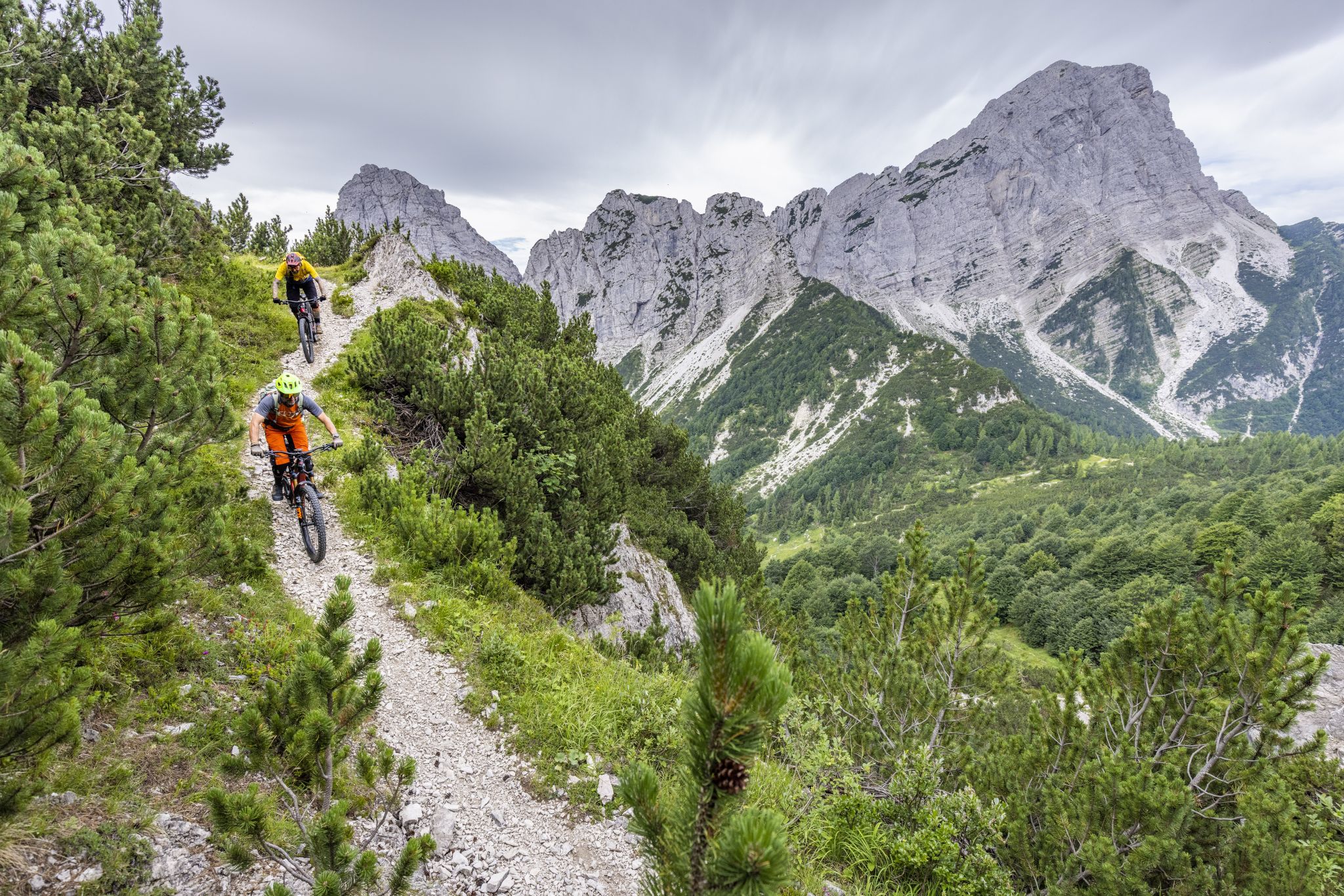
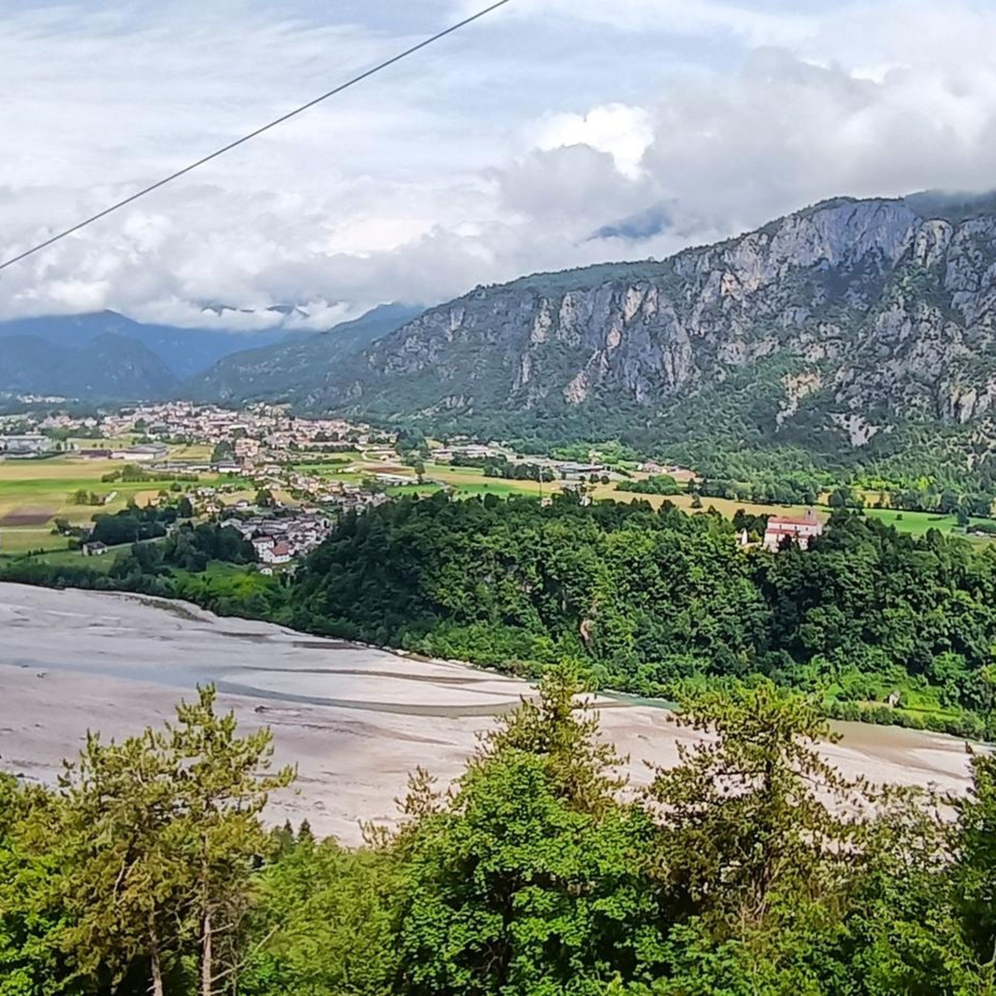
Hiking around Villa Santina offers access to the diverse landscapes of the Carnic Alps, Julian Alps, and Friulian Dolomites. The region is characterized by mountainous terrain, the Tagliamento River, and various streams and waterfalls. Trails near Villa Santina Italy traverse woodlands, river valleys, and higher elevations, providing varied hiking experiences. This area serves as a gateway to the Intermunicipal Park of the Carnic Hills, featuring both serene environments and challenging routes.
Best hiking trails around Villa Santina
- The most popular…
Last updated: September 26, 2026
3.7
(9)
43
hikers
4.49km
01:13
60m
60m
Easy hike. Great for any fitness level. Easily-accessible paths. Suitable for all skill levels.
1
hikers
Moderate hike. Good fitness required. Easily-accessible paths. Suitable for all skill levels.

1
hikers
16.7km
04:50
420m
420m
Moderate hike. Good fitness required. Easily-accessible paths. Suitable for all skill levels.
3.8
(5)
36
hikers
2.18km
00:38
60m
60m
Easy hike. Great for any fitness level. Easily-accessible paths. Suitable for all skill levels.
4.7
(9)
31
hikers
15.5km
04:30
370m
380m
Moderate hike. Good fitness required. Easily-accessible paths. Suitable for all skill levels.
Get access to more routes and recommendations from other explorers.
Already have an account?
Our route recommendations are based on thousands of hikes, rides, and runs completed by other people on komoot.
Start today with a free account
Your next adventure awaits.


Other adventures around Villa Santina

Tips from the Community

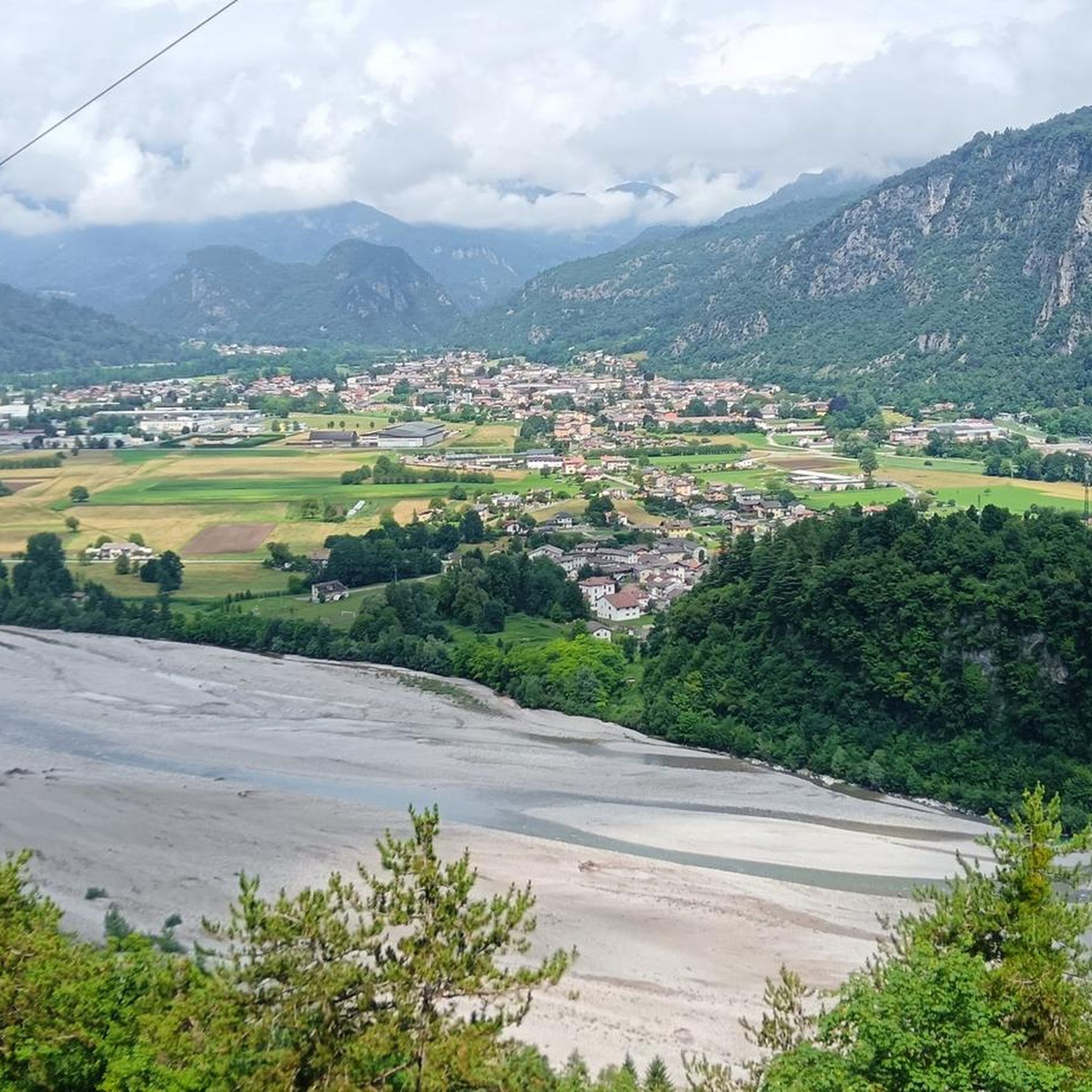
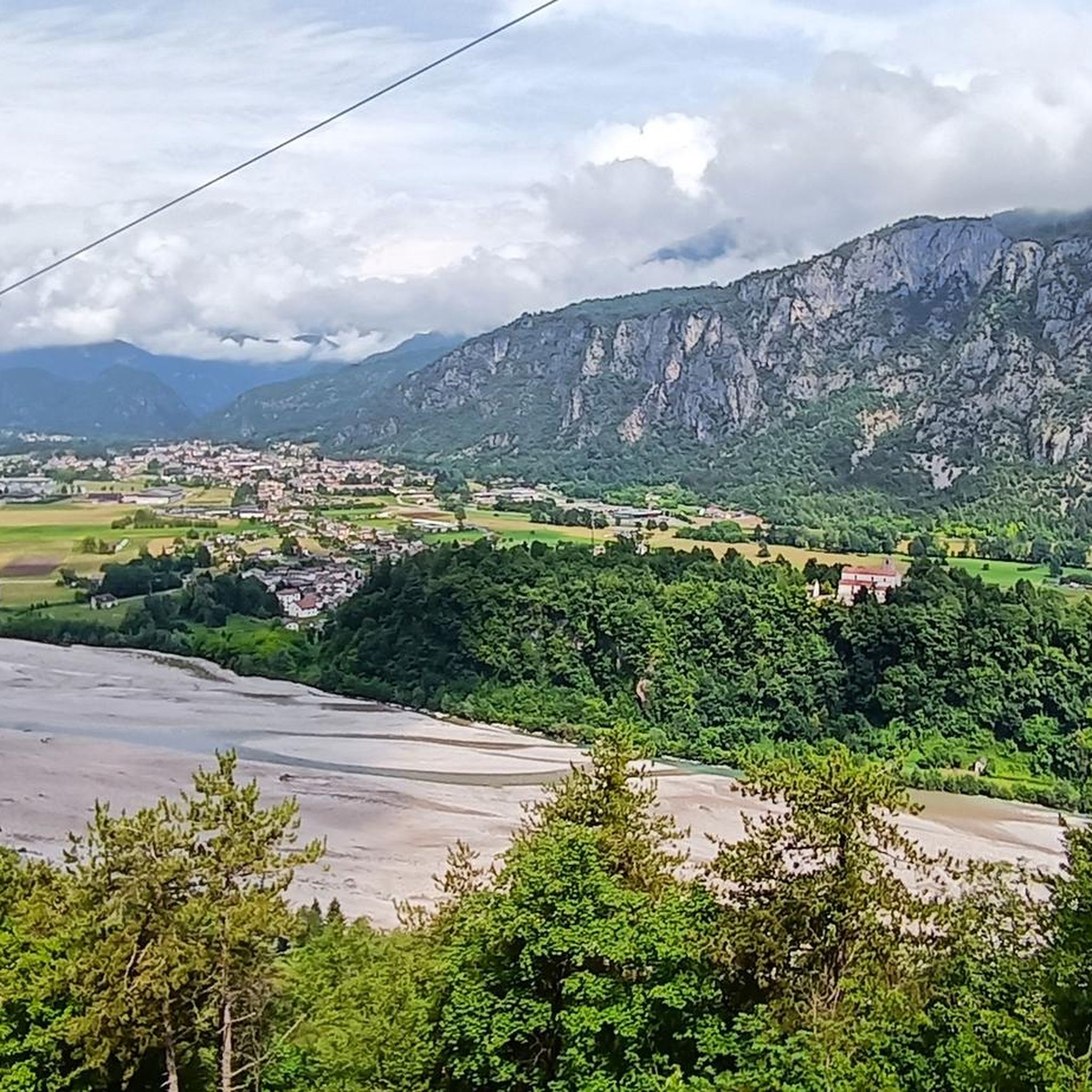
It couldn't be more nostalgic: coming from Villa, first the crossing of the Stone Bridge, below it the emerald-flowing Tagliamento, and after crossing, the church "Madonna del Ponte".
0
0

Very suggestive waterfall with a dirt road. I recommend walking along it. It winds through pine forests and fortifications from the First World War.
1
0
There is no particular information to visit in the summer period otherwise you run the risk that there is no water
0
0
Today I passed by and it was possible to visit it with a guide, unfortunately there was no time, however they can be visited by appointment.
0
0
Part of the defensive positions of the "Vallo Alpino" along the Tagliamento, unfortunately closed.
0
0
Located in the municipality of Villa Santina
0
0

A particular sanctuary that is found crossing the river that divides the municipality of Tolmezzo in two.
2
0
Frequently Asked Questions
What types of hiking trails can I find around Villa Santina?
Villa Santina offers a diverse range of hiking trails, from easy walks along river valleys to challenging mountain ascents in the Carnic Alps, Julian Alps, and Friulian Dolomites. You can explore serene woodlands, follow the Tagliamento River, or climb to higher elevations for panoramic views. There are over 25 routes available, catering to various skill levels.
Are there any easy, family-friendly hikes near Villa Santina?
Yes, Villa Santina has several easy trails suitable for families. A popular choice is the Plera Waterfall loop from Villa Santina / Vile, which is a short 2.2 km (1.4 miles) path leading directly to the scenic Plera Waterfall. This route is generally completed in about 40 minutes and is perfect for all fitness levels.
Can I find circular hiking routes in the Villa Santina area?
Absolutely. Many trails around Villa Santina are designed as loops, allowing you to start and end in the same location. For example, the Cima Monte Cretis – Early Medieval Tombs of Caepò loop from Villa Santina is a challenging 11.8 km (7.3 miles) circular route that takes you through mountainous terrain and past historical sites.
Are there any waterfalls or significant natural features to see on the hikes?
Yes, the region is rich in natural beauty. The Plera Waterfall is a beautiful natural cascade easily accessible from Villa Santina. The area is also defined by the pristine Tagliamento River, considered the last morphologically intact river in the Alps, and the dramatic Vinadia Gorge, known for canyoning.
What are some interesting landmarks or points of interest along the trails?
Beyond natural features, you can discover historical and cultural landmarks. The Cammino delle Pievi Stage 5 connects ancient hilltop churches, offering insights into the region's heritage. You can also visit the small artificial Laghetto di Villa Santina or the Lake Verzegnis.
Are there mountain huts or places to rest and eat during longer hikes?
Yes, the region features mountain huts that provide excellent resting points and often serve traditional local dishes. Rifugio Tamai, located on Monte Zoncolàn, is a popular hut offering panoramic views of the Carnic Alps, Julian Alps, and Friulian Dolomites. Other huts like Casera Avrint are also available.
What is the best time of year to go hiking around Villa Santina?
The best time for hiking around Villa Santina is generally from spring through autumn. During these seasons, the weather is milder, and the trails are more accessible. Summer offers lush greenery and full access to higher mountain trails, while spring and autumn provide beautiful colors and comfortable temperatures for exploring the woodlands and river valleys.
Are there any challenging hikes for experienced trekkers?
Yes, for experienced hikers, the area offers routes with significant elevation gains and demanding terrain. Monte Zoncolàn, for instance, is renowned as one of Europe's hardest climbs, providing a substantial challenge and immense satisfaction upon completion. Routes like the Cima Monte Cretis loop also present a difficult grade with considerable ascent.
What do other hikers say about the trails in Villa Santina?
The hiking routes in Villa Santina are highly rated by the komoot community, with an average score of 4.5 stars from over 600 reviews. Hikers frequently praise the diverse alpine scenery, the tranquility of the river valleys, and the well-maintained paths through varied woodlands.
Is there public transport available to reach trailheads from Villa Santina?
While specific public transport details to individual trailheads can vary, Villa Santina is a central point in the region. For broader access, an easy-to-traverse cycle path connects Tolmezzo to Villa Santina, passing through Invillino, which can serve as a way to access parts of the Tagliamento River area. For more remote trailheads, personal transport is often recommended.
Are there any lakes or ponds near Villa Santina that can be visited?
Yes, the area features several tranquil water bodies. You can visit the small artificial Laghetto di Villa Santina, which adds to the local natural beauty. Other nearby options include Lake Verzegnis and the Villa Santina Pond with Fountain.
Most popular routes around Villa Santina
Most popular attractions around Villa Santina

Get inspired with the komoot mobile app


Explore more
Browse the best Hikes in other regions.
