The best walks and hikes around Forni Di Sotto
4.5
(2091)
10,105
hikers
11
hikes
Hiking around Forni Di Sotto offers access to the dramatic Dolomite landscape within the Friulian Dolomites Natural Park, a UNESCO World Heritage site. The region is characterized by jagged peaks, imposing rock towers, and lush forests, with the Upper Tagliamento Valley providing a prominent natural feature. Hikers can explore areas with crystalline waters, waterfalls, and diverse flora.
Best hiking trails around Forni Di Sotto
- The most popular hiking route is Cammino delle Pievi from Forni di Sotto to Forni di…
Last updated: August 30, 2026
5.0
(1)
5
hikers
13.1km
05:04
980m
980m
Hike a challenging 8.2-mile alpine meadow trail to Casera Montôf, gaining 3203 feet with panoramic views in the Carnic Prealps.
9
hikers
24.9km
06:57
470m
470m
Riverside pilgrimage trail connecting mountain villages via ancient churches and Tagliamento Valley meadows.

Sign up for free
9.72km
03:18
500m
500m
Hike the challenging 6.0-mile Campanili di Costa Baton and Forcella Rancolin (via Route 213) for unique rock formations and panoramic views.
4.3
(31)
136
hikers
Hard hike. Very good fitness required. Mostly accessible paths. Sure-footedness required.
4.0
(2)
10
hikers
Hard hike. Very good fitness required. Mostly accessible paths. Sure-footedness required.
Get access to more routes and recommendations from other explorers.
Sign up for free
Already have an account?
Our route recommendations are based on thousands of hikes, rides, and runs completed by other people on komoot.
Start today with a free account
Your next adventure awaits.
Login or Signup
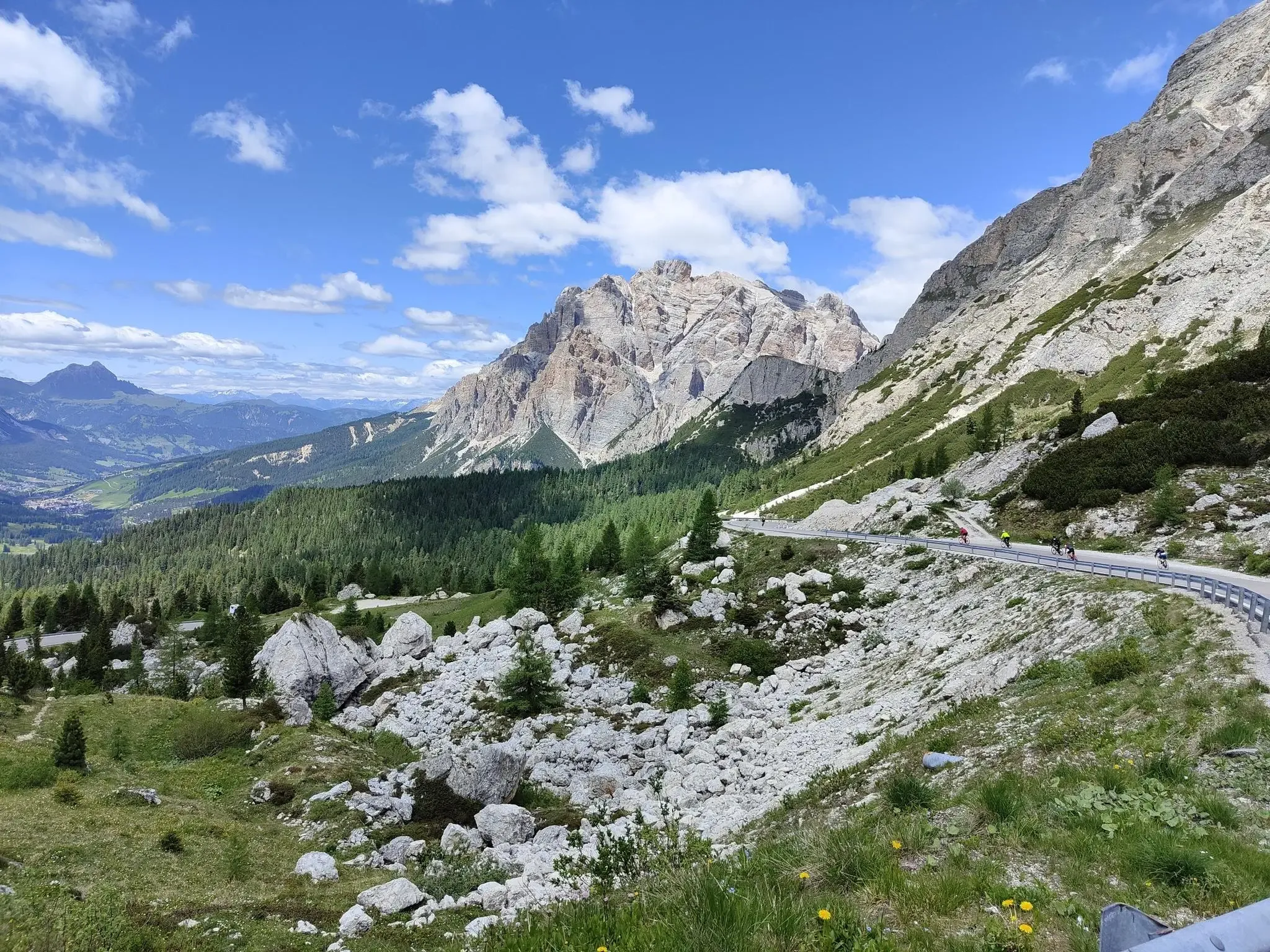
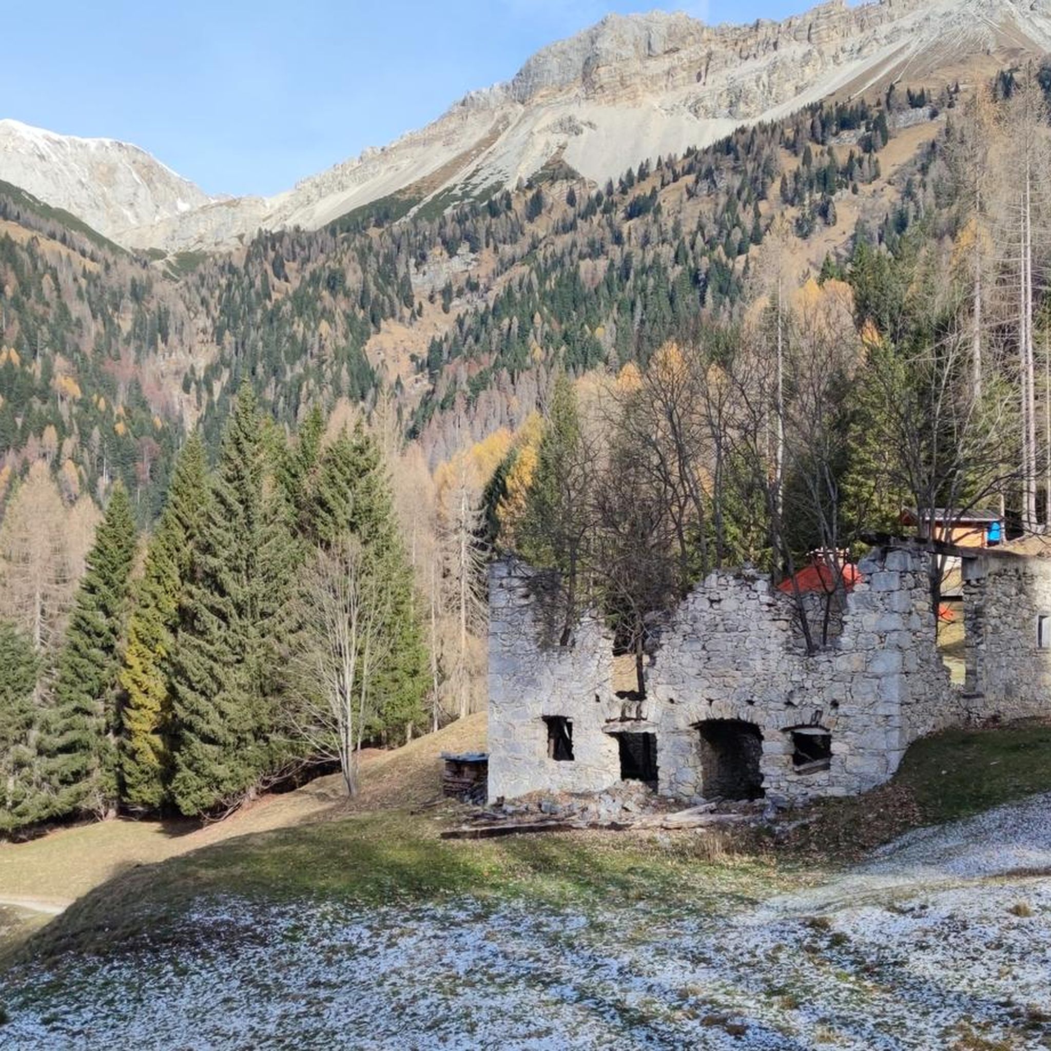
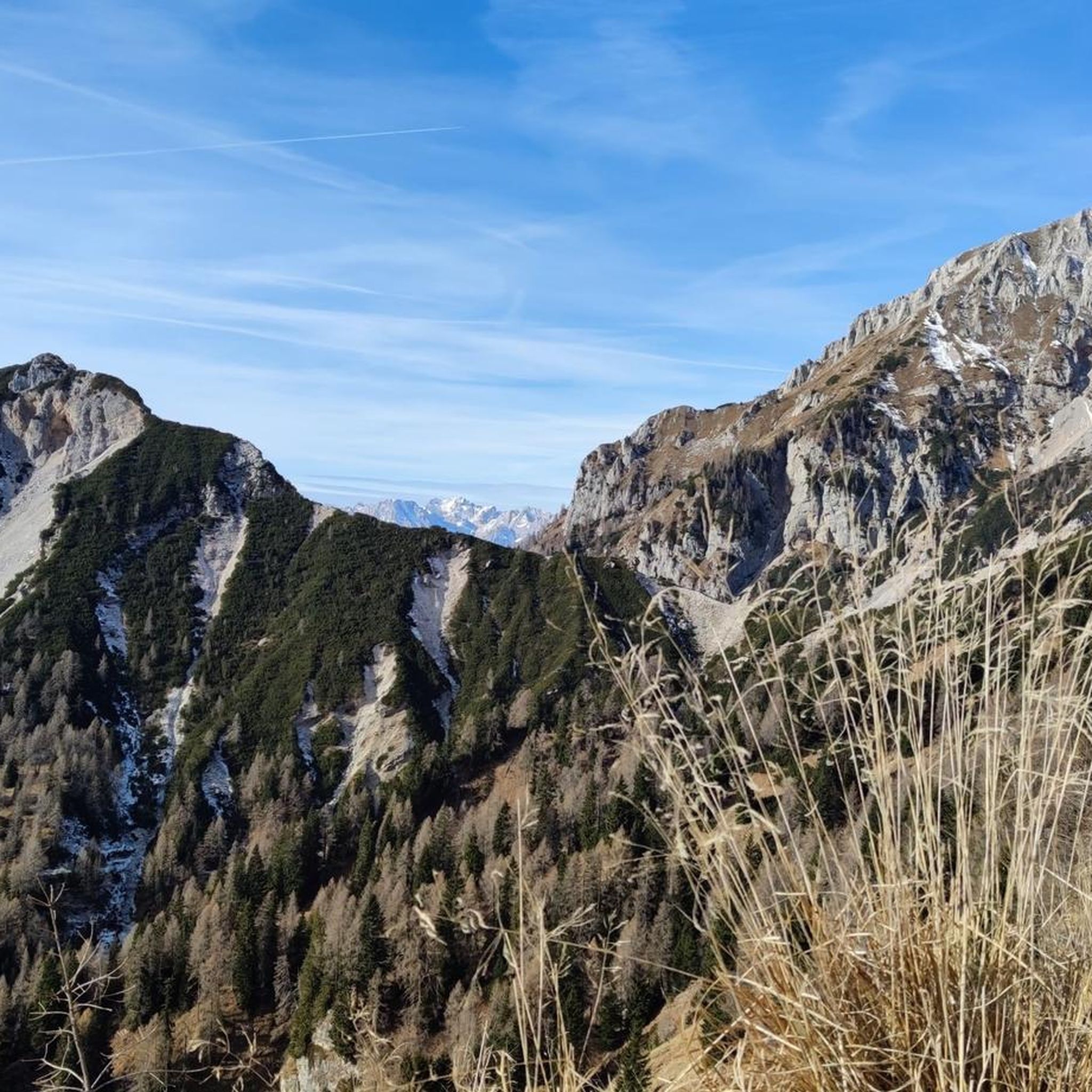
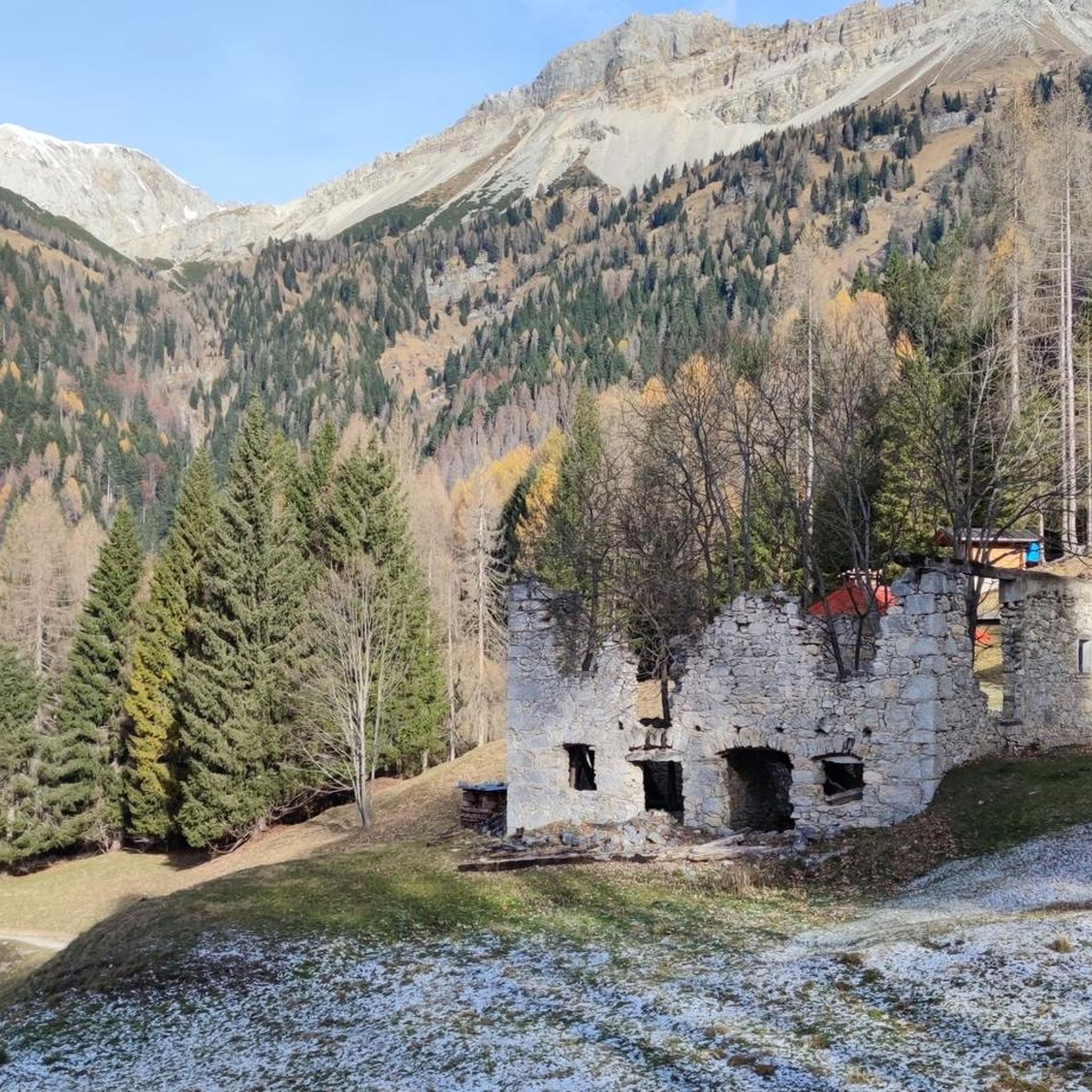

Other adventures around Forni Di Sotto

Tips from the Community

Passo del Zauf is at an altitude of 2100m. Passage point on the orchid trail.
0
0
Characteristic stratifications on the slopes of Mount Zauf, visible from the CAI 213 path.
0
0
Casera Costa Baton is located on the eastern side of Mount Rancolin at a height of 173m. It has a few beds, has been recently renovated, there are a table, benches and a kitchen stove inside.
0
0
Forca di Montof separates the Tinisa group from the crest of Mount Puintat.
0
0
Mount Rancolin is 2096m high. Its eastern slope hosts Casera Costa Baton.
0
0
Mount Puintat, at 2034m, is the highest peak of the Tinisa-Zauf-Bivera-Clapsavon subgroup.
0
0
Casera Montof is a welcoming bivouac located at 1742m. above sea level, offering the possibility of overnight stay for 3 people plus 4 on sleeping bags. The casera has a kitchen and fireplace. The most convenient and accessible starting point is from the Pura pass. The casera can also be reached from Forni di sotto via the very steep and poorly maintained CAI 215 path and also via CAI 214a path.
0
0

Stunning geosite, with the beautiful multicolored layers made incredible by erosion.
1
0
Frequently Asked Questions
How many hiking trails are available around Forni di Sotto?
There are 10 hiking routes in the Forni di Sotto area, ranging from easy valley walks to challenging mountain ascents within the Friulian Dolomites Natural Park.
Are there easy hiking options for beginners in Forni di Sotto?
Yes, Forni di Sotto offers 2 easy routes suitable for beginners or those seeking a more relaxed experience. These often involve valley-floor walks amidst fir woods and crystal-clear streams.
What kind of challenging hikes can I find in Forni di Sotto?
Forni di Sotto is known for its challenging routes, with 7 difficult trails available. These often involve significant elevation gains and lead to dramatic Dolomite peaks and mountain passes. An example is the Costa Baton Campanili Loop, which features views of the distinctive Campanili peaks.
What natural features can I expect to see while hiking near Forni di Sotto?
The region boasts a dramatic Dolomite landscape with jagged peaks and imposing rock towers. You can also discover areas like Val Postica, known for its crystalline waters, spectacular waterfalls, and "marmitte dei giganti" (giant's kettles). The wild stretches of the Tagliamento River are also prominent.
Are there any circular hiking routes in Forni di Sotto?
Yes, there are several circular routes available. For instance, the Fienili Chiampì – Campanili di Costa Baton loop from Forni di Sotto offers a challenging experience with panoramic views. Another option is the Fienili Preson – Fienili Chiampì loop.
What are some notable landmarks or points of interest along the trails?
Hikers can encounter several significant points of interest. The Campanile of Val Montanaia is a famous natural monument. You might also pass through mountain passes like Forcella Scodavacca or Clautana Pass. For unique water features, look for the Pozze Smeraldine.
Are there mountain huts or refuges available for hikers?
Yes, the area is well-equipped with mountain huts that serve as support points. The Giaf Hut is a key access point to the Friulian Dolomites Park. Other notable refuges include Rifugio Flaiban Pacherini and Rifugio Pordenone.
What do other hikers enjoy most about the trails in Forni di Sotto?
The trails in Forni di Sotto are highly rated by the komoot community, with an average score of 4.5 stars from over 1800 reviews. Hikers often praise the dramatic Dolomite landscape, the diverse terrain, and the stunning natural features like waterfalls and crystalline waters.
Is Forni di Sotto suitable for family-friendly hikes?
While many routes are challenging, there are easier valley-floor walks that can be suitable for families looking for a more relaxed experience amidst the fir woods and crystal-clear streams. Always check the specific route details for distance and elevation to ensure it matches your family's ability.
What is the best time of year to go hiking in Forni di Sotto?
The region is best explored from spring through autumn when the weather is milder and trails are generally clear of snow. This allows for full enjoyment of the diverse flora and dramatic landscapes. Winter hiking is possible but requires specialized gear and experience due to snow and ice conditions.
Can I find routes that connect Forni di Sotto to other towns?
Yes, a prominent route is the Cammino delle Pievi from Forni di Sotto to Forni di Sopra. This difficult trail connects the two towns, offering varied terrain and a longer hiking experience.
Are there any routes that feature mountain passes?
Absolutely. Many routes in the region traverse mountain passes. For example, the Campanili di Costa Baton and Forcella Rancolin (via Route 213) leads through significant mountain passes, offering challenging terrain and rewarding views.
Most popular attractions around Forni Di Sotto

Get inspired with the komoot mobile app


Explore more
Browse the best Hikes in other regions.
