The best mountain hikes around Cercivento
4.9
(44)
361
hikers
10
hikes
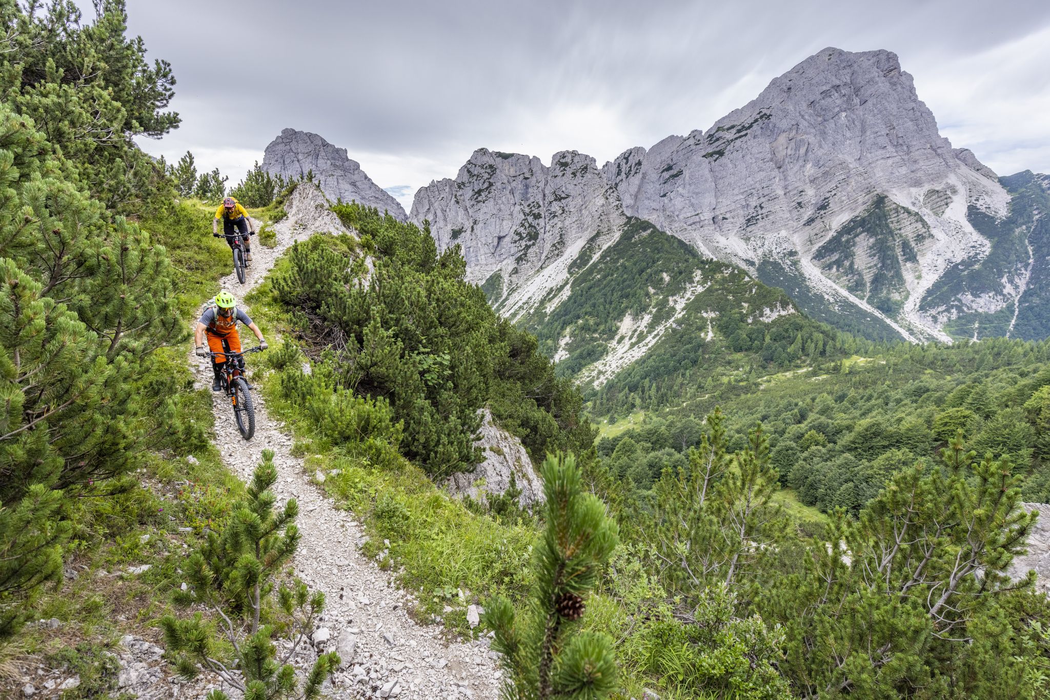
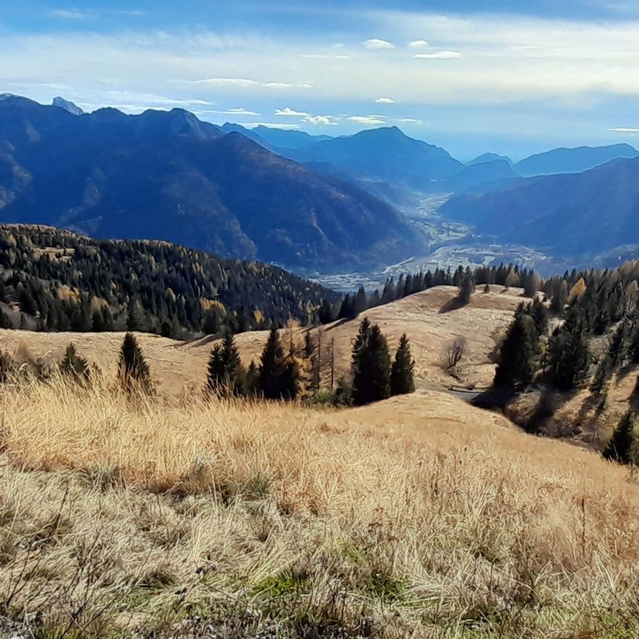
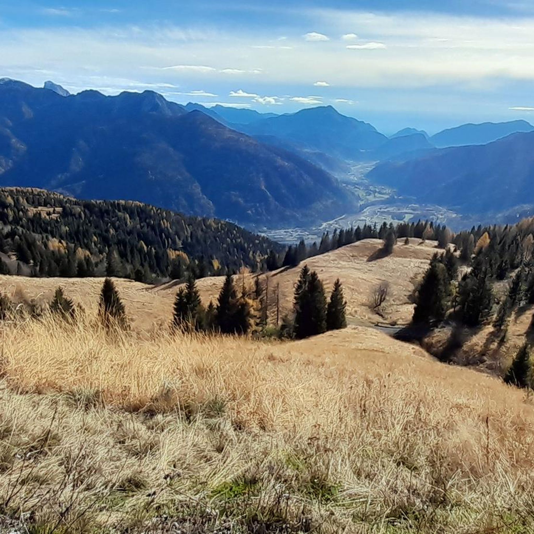
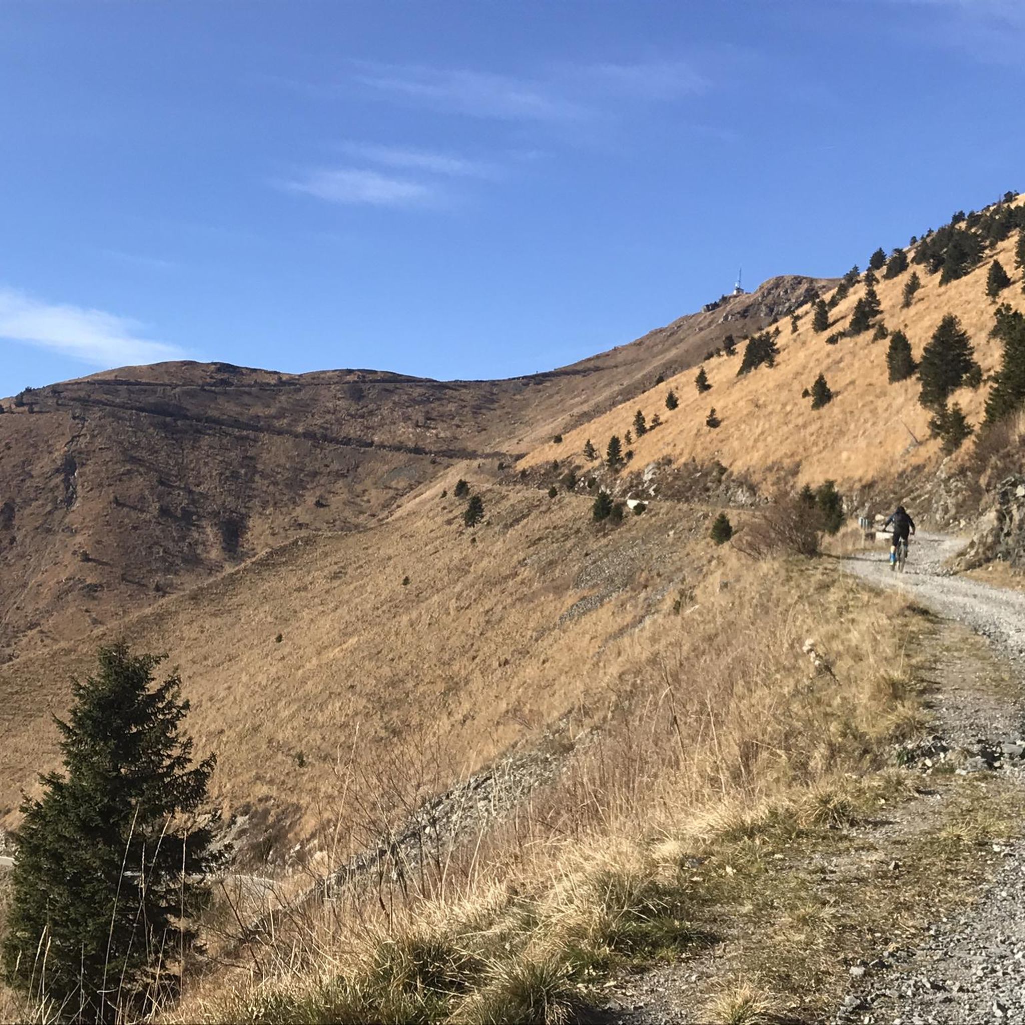
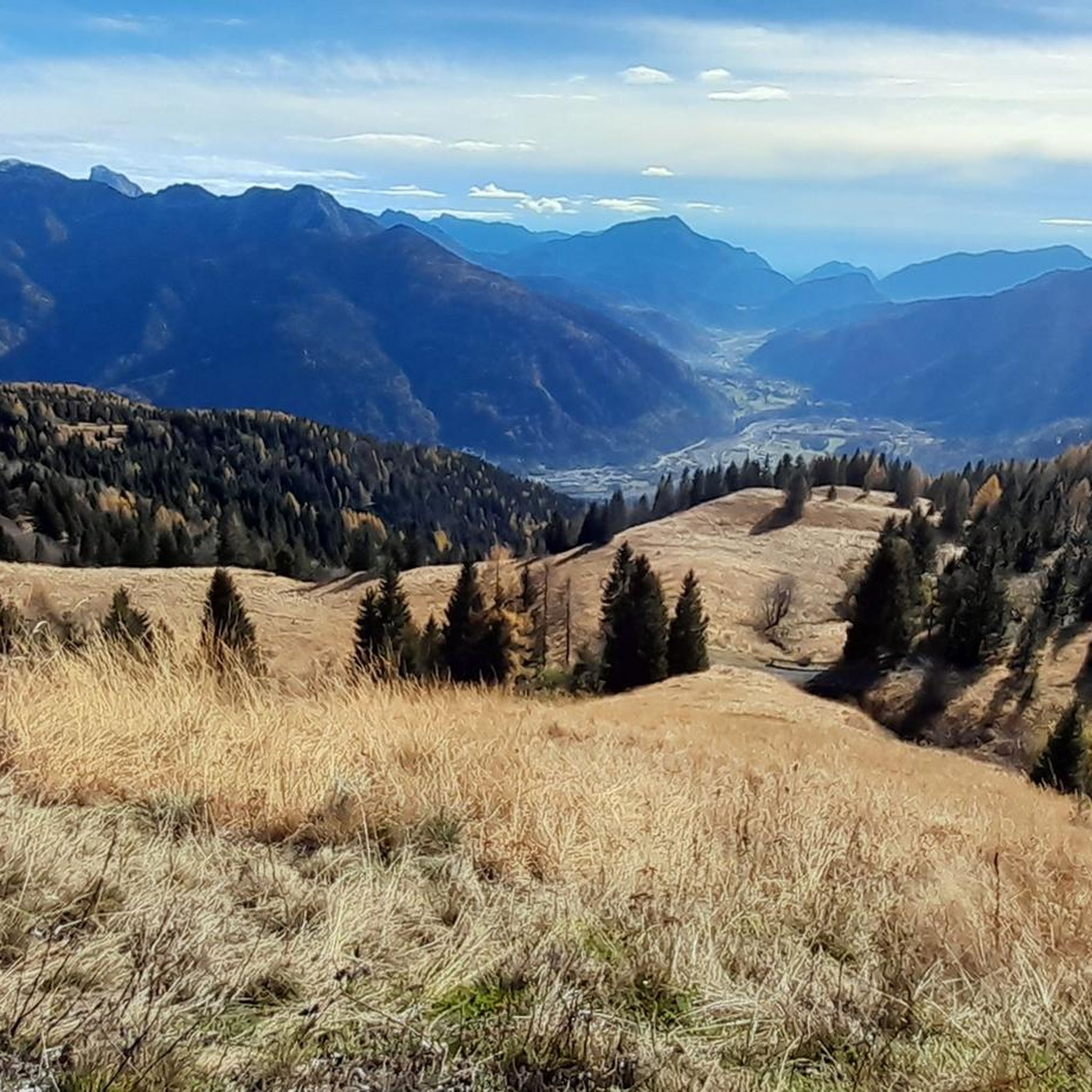
Mountaineering routes around Cercivento are found within the rugged Carnic Alps of Italy's Friuli-Venezia Giulia region. The area features diverse mountainous terrain, including prominent peaks such as Monte Tenchia, Monte Zoufplan, and Monte Crostis, which reaches 2251 meters. Picturesque valleys like Val Degano and Val Calda, dense conifer forests, and natural water features like the Zoufplan Lakes and the Gladegna torrent characterize the landscape. This varied topography offers a range of challenges for mountaineers.
Best mountaineering routes around Cercivento
- The…
Last updated: October 8, 2026
4.7
(6)
99
hikers
Hard mountaineering route. Good fitness required. Sure-footedness, sturdy shoes and alpine experience required.
5.0
(9)
65
hikers
Hard mountaineering route. Good fitness required. Sure-footedness, sturdy shoes and alpine experience required.

5.0
(8)
59
hikers
Hard mountaineering route. Good fitness required. Sure-footedness, sturdy shoes and alpine experience required.
5.0
(5)
34
hikers
Hard mountaineering route. Very good fitness required. Sure-footedness, sturdy shoes and alpine experience required.
4.7
(3)
14
hikers
Hard mountaineering route. Good fitness required. Sure-footedness, sturdy shoes and alpine experience required.
Get access to more routes and recommendations from other explorers.
Already have an account?
Our route recommendations are based on thousands of hikes, rides, and runs completed by other people on komoot.
Start today with a free account
Your next adventure awaits.

Other adventures around Cercivento

Tips from the Community

On clear days, the summit of Creta di Collinetta offers unique panoramas. This entire area was a theatre of war during the Great War.
0
0

Starting point for a very steep trail to the Kleiner Pal. Certainly not the easiest ascent but with a very beautiful view of the Austrian part of the Plöckenpass road.
0
0

A wartime tunnel from World War I
0
0

Difficult hike category! Trekking poles/hiking sticks are recommended, especially for the descent. The final climb is very steep and has a lot of loose rock. Start early so you can walk the first section in the shade.
0
0


Unique and historic, a must see!
0
0
Steinberger Weg closed as of June 2024
0
0
Now continue uphill and follow the hiking trails to the descent.
0
0
Frequently Asked Questions
How many mountaineering routes are available around Cercivento?
There are over 14 distinct mountaineering routes documented around Cercivento, offering a variety of challenges and scenic experiences in the Carnic Alps.
What is the best time of year for mountaineering in Cercivento?
The ideal season for mountaineering in the Carnic Alps, including Cercivento, is generally from late spring through early autumn (May to October). During these months, the weather is milder and most trails are clear of snow, providing optimal conditions for ascents.
Are there any beginner-friendly mountaineering routes in the area?
While many routes are challenging, there are some moderate options suitable for those with less experience. For example, the Casera Promosio – Lago Avostanis loop from Casera Promosio / Promôs is rated moderate and leads through alpine pastures to the scenic Lago Avostanis.
What are some challenging routes for experienced mountaineers?
Experienced mountaineers will find several demanding routes. The Trail junction – Mount Cellon loop from Passo di Monte Croce Carnico / Plöckenpass / Pas di Mont di Crôs is a difficult 8.3 km trail with over 920 meters of elevation gain. Another challenging option is the Gailtal Polinik Summit – View of Grünsee loop from Passo di Monte Croce Carnico / Plöckenpass / Pas di Mont di Crôs, which ascends over 1081 meters.
Are there any circular mountaineering routes around Cercivento?
Yes, several routes are designed as loops, allowing you to start and end at the same point. Examples include the Trail junction – Mount Cellon loop and the Casera Promosio – Lago Avostanis loop, both offering a complete circuit.
What kind of natural features or attractions can I expect to see along the routes?
The routes traverse diverse natural environments, including dense conifer forests, picturesque valleys like Val Degano and Val Calda, and areas with small lakes such as the Zoufplan ponds. You'll also encounter prominent peaks like Monte Tenchia and Monte Zoufplan, offering panoramic vistas.
Are there any notable landmarks or points of interest near the mountaineering trails?
Yes, the region offers several points of interest. You might encounter mountain huts like the Wolayersee Hut or the Zollnersee Hut. The scenic Lake Wolayer is also a beautiful spot. For those interested in mountain passes, the Passo di Monte Croce Carnico / Plöcken Pass is a significant landmark.
What do other mountaineers say about the routes in Cercivento?
The mountaineering routes around Cercivento are highly rated by the komoot community, with an average score of 4.8 stars from over 60 reviews. Mountaineers often praise the rugged mountainous terrain, the prominent peaks, and the scenic valleys that define the area.
Is parking available at the trailheads?
Many trailheads in the Carnic Alps, especially those starting from mountain passes like Passo di Monte Croce Carnico, typically offer designated parking areas. It's advisable to check specific route details for precise parking information.
Can I bring my dog on the mountaineering trails?
Many trails in the Carnic Alps are dog-friendly, but regulations can vary. It's generally recommended to keep dogs on a leash, especially in areas with wildlife or grazing livestock, and to ensure they are well-behaved and physically capable of handling the terrain.
Are there any family-friendly options for mountaineering with kids?
While many routes are challenging, the region does offer less strenuous options suitable for families. These trails often combine natural beauty with historical elements and are generally shorter and have less elevation gain, providing a more moderate experience for children.
Most popular routes around Cercivento
Most popular attractions around Cercivento

Get inspired with the komoot mobile app


Explore more
Browse the best Mountain Hikes & Routes in other regions.
