The best road cycling routes around Cercivento
4.4
(101)
4,326
riders
61
rides
Road cycling routes around Cercivento are characterized by significant elevation changes and mountainous terrain. The region features challenging climbs and descents, with routes often leading through alpine passes and valleys. This area provides a demanding environment for road cyclists, with numerous opportunities to ascend notable peaks.
Best road cycling routes around Cercivento
- The most popular road cycling route is Saddle of Monte Zoncolan – Monte Zoncolan Summit loop from Zenodis, a 32.9 miles (52.9 km) trail that takes 3…
Last updated: May 24, 2026
4.6
(9)
412
riders
52.9km
03:55
2,040m
2,040m
Hard road ride. Very good fitness required. Mostly well-paved surfaces and easy to ride.
4.8
(9)
330
riders
47.9km
04:17
2,400m
2,400m
Hard road ride. Very good fitness required. Mostly well-paved surfaces and easy to ride.

Sign up for free
5.0
(1)
201
riders
54.7km
04:55
2,040m
2,040m
Hard road ride. Very good fitness required. Some segments of this route may be unpaved and difficult to ride.
4.8
(5)
187
riders
30.8km
02:23
1,230m
1,230m
Hard road ride. Very good fitness required. Mostly well-paved surfaces and easy to ride.
4.8
(4)
164
riders
104km
05:54
2,330m
2,330m
Hard road ride. Very good fitness required. Some segments of this route may be unpaved and difficult to ride.
Get access to more routes and recommendations from other explorers.
Sign up for free
Already have an account?
Our route recommendations are based on thousands of hikes, rides, and runs completed by other people on komoot.
Start today with a free account
Your next adventure awaits.
Login or Signup
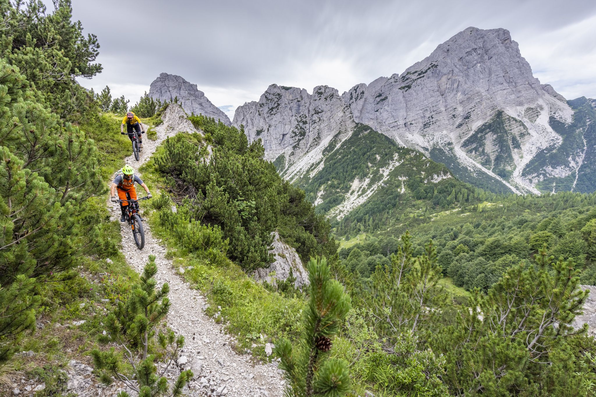
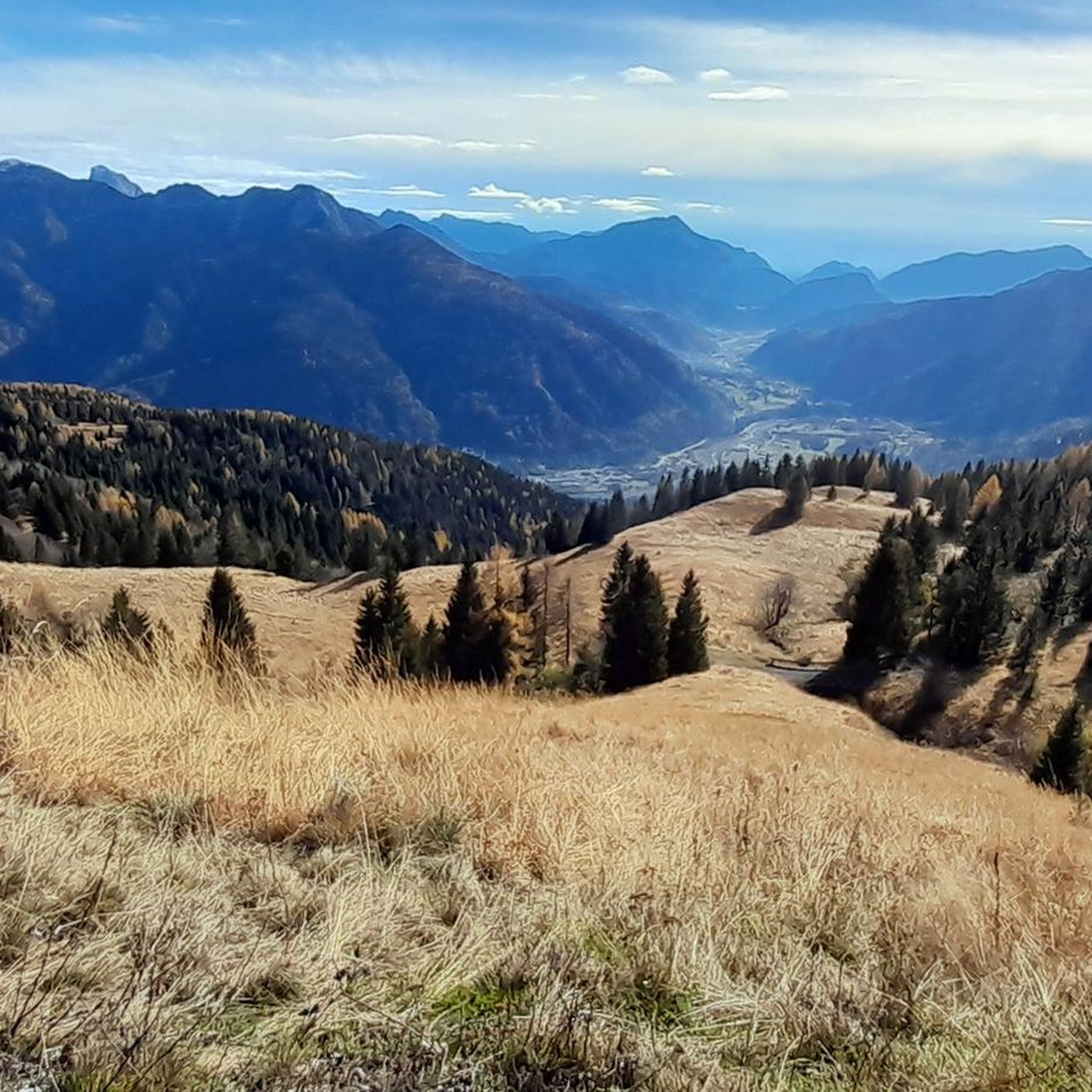
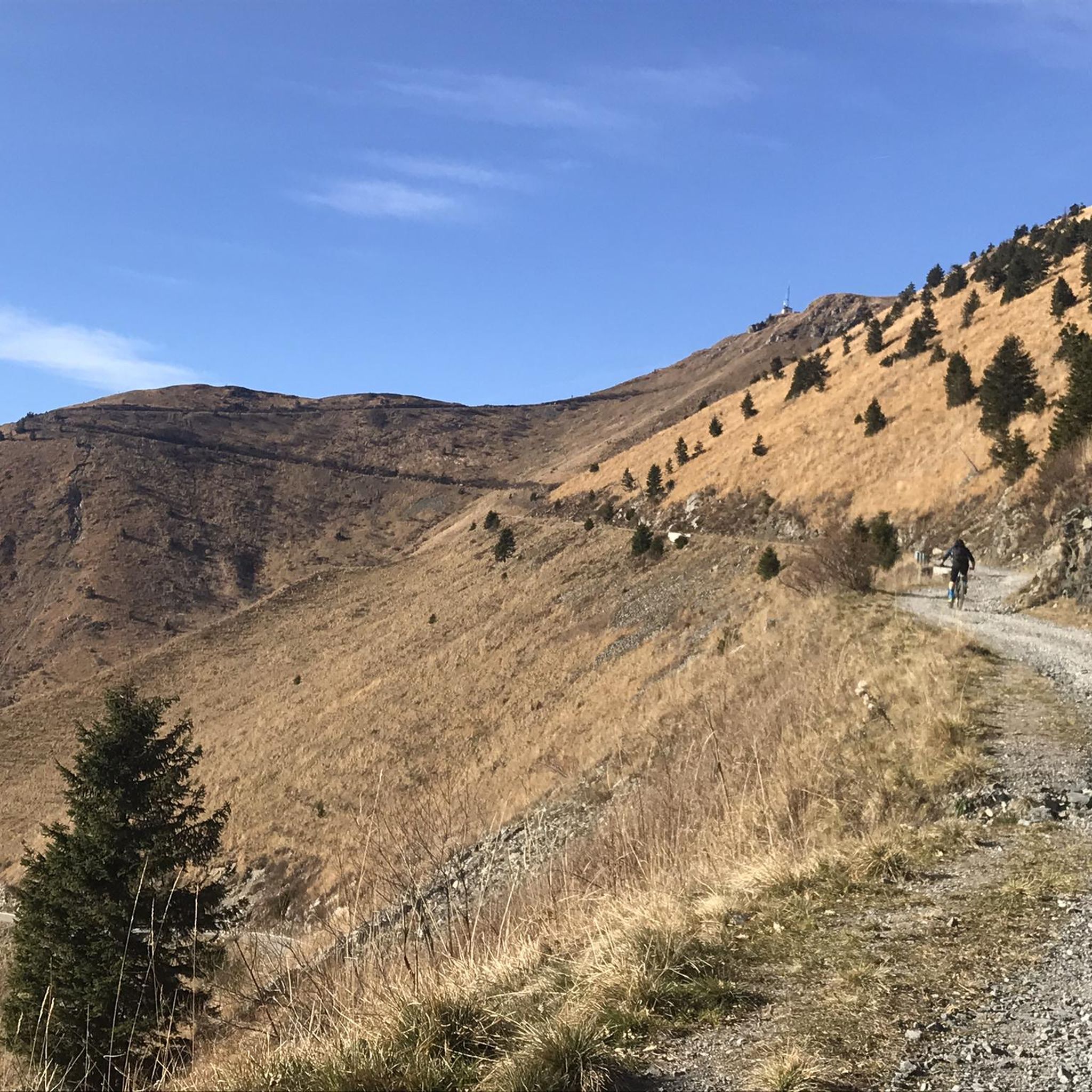

Other adventures around Cercivento

Tips from the Community

You cycle along this railway bridge, all made of iron... exciting!
0
0

In addition to its role as a cycling arena, Monte Zoncolan is a multi-purpose tourist destination. In winter, you can enjoy downhill runs of varying difficulty (ranging from blue to black). The Zoncolan Ski Area offers a variety of challenging trails (both fast technical sections and steep walls), making it ideal for slalom and giant slalom training. The location in Friuli-Venezia Giulia offers good snow conditions, but also a relatively quiet base – fewer tourists than in the Dolomites. Modern infrastructure (the Ravascletto–Zoncolan gondola and artificial snowmaking system) allows for regular training even in inclement weather. If you visit Ravascletto in winter, it's not unusual to see sections of the trails marked "chiuso per allenamento" (closed for training) – a sign that national teams or clubs are training there. In summer, you can enjoy a network of trails of varying difficulty—from family walks to challenging mountain treks. The areas are well-marked and have infrastructure (huts, rifuges, viewpoints).
0
0

One of the toughest climbs I've ever done, use low gears.
14
0

At least it's a good hint, even if I didn't dare to do it this time.
2
0
They are also intended to emphasize that Zoncolàn is not just a place for one Giro hero, but for the entire peloton, all the cyclists and cyclists who have arrived here.
1
0
The three bicycles symbolize the community of cyclists, both professional and amateur, who have conquered this mountain.
1
0


Frequently Asked Questions
How many road cycling routes are available in Cercivento?
Cercivento offers a diverse network of over 50 road cycling routes. These routes cater to various skill levels, ranging from easy to very difficult, and are highly rated by the komoot community.
Are there easy road cycling routes in Cercivento?
While Cercivento is known for its challenging mountainous terrain, there is at least one easy road cycling route available. The majority of routes are moderate to difficult, featuring significant elevation changes and alpine passes.
What are some challenging road cycling routes around Cercivento?
For experienced cyclists seeking a challenge, routes like Saddle of Monte Zoncolan – Monte Zoncolan Summit loop from Zenodis offer substantial elevation gain. Another demanding option is the Chiadinas Hut – Sella Valcalda loop from Sutrio / Sudri, which traverses mountain passes with extensive views.
Can I find circular road cycling routes in Cercivento?
Yes, many road cycling routes in Cercivento are designed as loops. For instance, the Monte Zoncolan Summit – Saddle of Monte Zoncolan loop from Cercivento / Çurçuvint is a popular circular route leading through mountainous terrain.
What kind of scenery can I expect on road cycling routes in Cercivento?
Road cycling in Cercivento offers breathtaking alpine scenery, including winding valley roads, challenging mountain ascents, and panoramic views from high passes. You'll experience the rugged beauty of the Carnic Alps.
Are there any interesting landmarks or attractions along the road cycling routes?
Yes, the region boasts several notable attractions. Cyclists can encounter highlights such as the challenging Monte Zoncolan Climb from Ovaro, or explore mountain passes like Passo di Monte Croce Carnico / Plöcken Pass. The area also features huts like Wolayersee Hut and scenic spots like Lake Wolayer.
What is the best time of year for road cycling in Cercivento?
The best time for road cycling in Cercivento is typically from late spring to early autumn (May to October), when mountain passes are clear of snow and weather conditions are most favorable for tackling the region's challenging climbs.
Are there options for family-friendly road cycling in Cercivento?
While many routes in Cercivento are geared towards experienced cyclists due to the mountainous terrain, there are a few easier options that might be suitable for families with older, more experienced children. Always check the route's difficulty and elevation profile before setting out.
Where can I find parking for road cycling routes in Cercivento?
Parking is generally available in the main villages and towns such as Cercivento, Sutrio, or Zenodis, which serve as common starting points for many routes. Specific parking details can often be found in the route descriptions on komoot.
What do other cyclists say about road cycling in Cercivento?
The road cycling routes in Cercivento are highly rated by the komoot community, with an average score of 4.6 stars from nearly 100 reviews. Cyclists often praise the challenging ascents, stunning alpine views, and the demanding yet rewarding nature of the terrain.
How long do road cycling routes in Cercivento typically take?
Route durations vary significantly based on distance, elevation, and your cycling speed. For example, the Noiaris Village – Fountain of the Three Crosses loop from Rivo / Riu, a moderate route, takes around 2 hours 25 minutes, while more difficult routes can take 4-6 hours or more.
Are there any long-distance road cycling routes in the area?
Yes, Cercivento offers several long-distance road cycling routes. An example is the challenging Old Cycle Bridge – View of Dogna loop from Sutrio / Sudri, which spans over 100 kilometers and features significant elevation gain.
Most popular routes around Cercivento
Most popular attractions around Cercivento

Get inspired with the komoot mobile app


Explore more
Browse the best Road cycling routes in other regions.
