The best mountain hikes around San Martin De Tor - San Martino In Badia - St. Martin In Thurn
4.9
(49)
519
hikers
20
hikes
San Martin De Tor mountaineering routes are set within the Dolomites, a UNESCO World Natural Heritage site, offering a diverse landscape for outdoor activities. The region is characterized by impressive mountain peaks, varied geological formations, and extensive natural parks like Puez-Odle Nature Park. This area provides a range of challenging and less demanding mountaineering routes.
Best mountaineering routes around San Martin De Tor - San Martino In Badia - St. Martin In Thurn
- The most popular mountaineering route is View of Peitlerkofel – Ascent to Peitlerscharte loop from Jü de Börz - Würzjoch - Passo delle Erbe, a 9.9 miles (16.0 km) trail that takes 6 hours 16 minutes to complete. This difficult route offers panoramic views of the surrounding Dolomite peaks.
- Another top favourite among local mountaineers is Ringspitz Waterfall – Ascent to Peitlerscharte loop from Peitlerkofelgruppe, a difficult 5.7 miles (9.2 km) path. This route features varied terrain and the scenic Ringspitz Waterfall.
- Local mountaineers also love the Crëp da les Dodesc Summit loop from Lungiarü - Campill - Longiarù, a 8.8 miles (14.2 km) trail leading through alpine landscapes, often completed in about 5 hours 49 minutes.
- Mountaineering around San Martin De Tor - San Martino In Badia - St. Martin In Thurn is defined by majestic Dolomite peaks, varied geological formations, and protected nature parks. The network offers options for different ability levels, from challenging ascents to more moderate trails.
- The routes in San Martin De Tor - San Martino In Badia - St. Martin In Thurn are highly rated by the komoot community with an average score of 4.9 stars from more than 70 reviews. More than 700 mountaineers have used komoot to explore San Martin De Tor - San Martino In Badia - St. Martin In Thurn's varied terrain.
Last updated: July 8, 2026
4.9
(10)
191
hikers
Hard mountaineering route. Very good fitness required. Sure-footedness, sturdy shoes and alpine experience required.
4.9
(8)
73
hikers
Hard mountaineering route. Very good fitness required. Sure-footedness, sturdy shoes and alpine experience required.

Sign up for free
5.0
(6)
57
hikers
14.2km
05:49
880m
880m
Hard mountaineering route. Very good fitness required. Mostly accessible paths. Sure-footedness required.
5.0
(5)
32
hikers
18.8km
08:22
1,250m
1,250m
Hard mountaineering route. Very good fitness required. Sure-footedness, sturdy shoes and alpine experience required.
5.0
(3)
21
hikers
Hard mountaineering route. Very good fitness required. Mostly accessible paths. Sure-footedness required.
Get access to more routes and recommendations from other explorers.
Sign up for free
Already have an account?
Our route recommendations are based on thousands of hikes, rides, and runs completed by other people on komoot.
Start today with a free account
Your next adventure awaits.
Login or Signup
Popular around San Martin De Tor - San Martino In Badia - St. Martin In Thurn
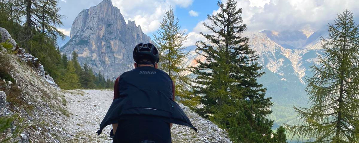
Finding freedom in the Dolomites – 5 days bikepacking
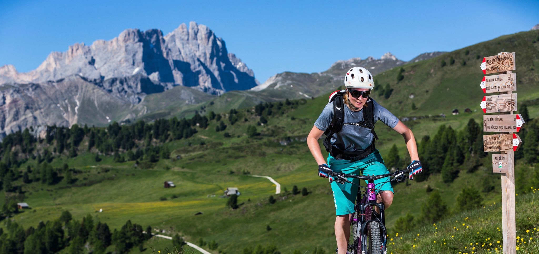
MTB tours in the South Tyrolean Dolomites
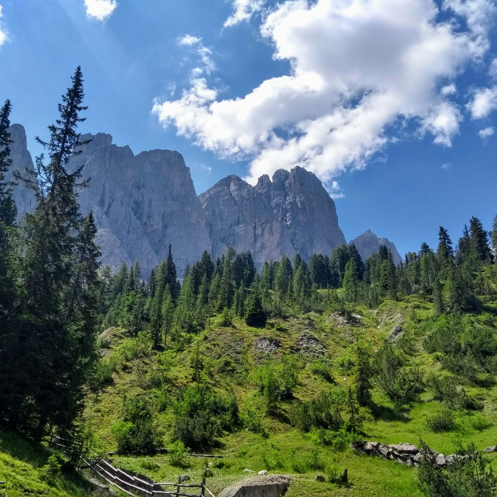
Hiking around San Martin De Tor - San Martino In Badia - St. Martin In Thurn
Road Cycling Routes around San Martin De Tor - San Martino In Badia - St. Martin In Thurn
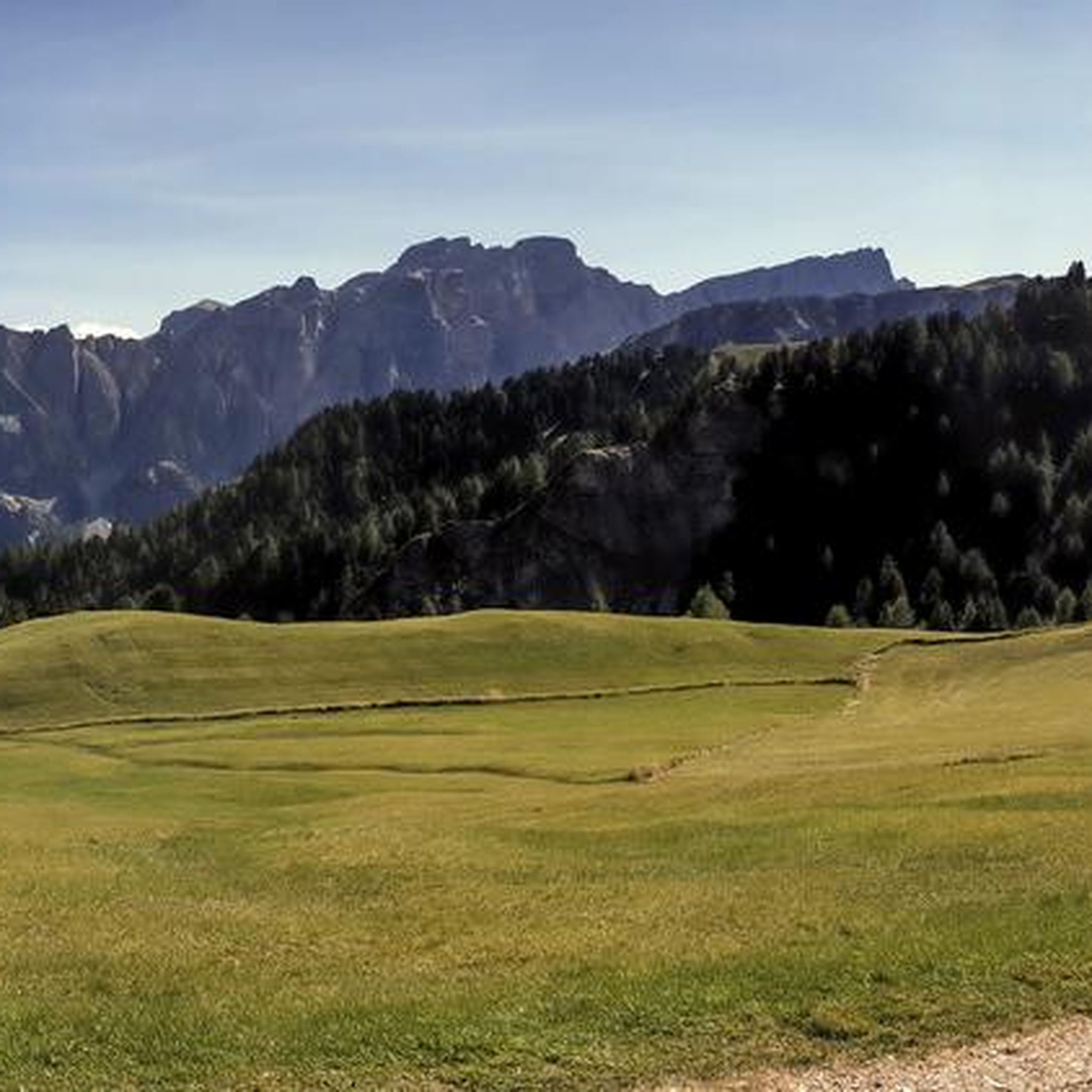
MTB Trails around San Martin De Tor - San Martino In Badia - St. Martin In Thurn
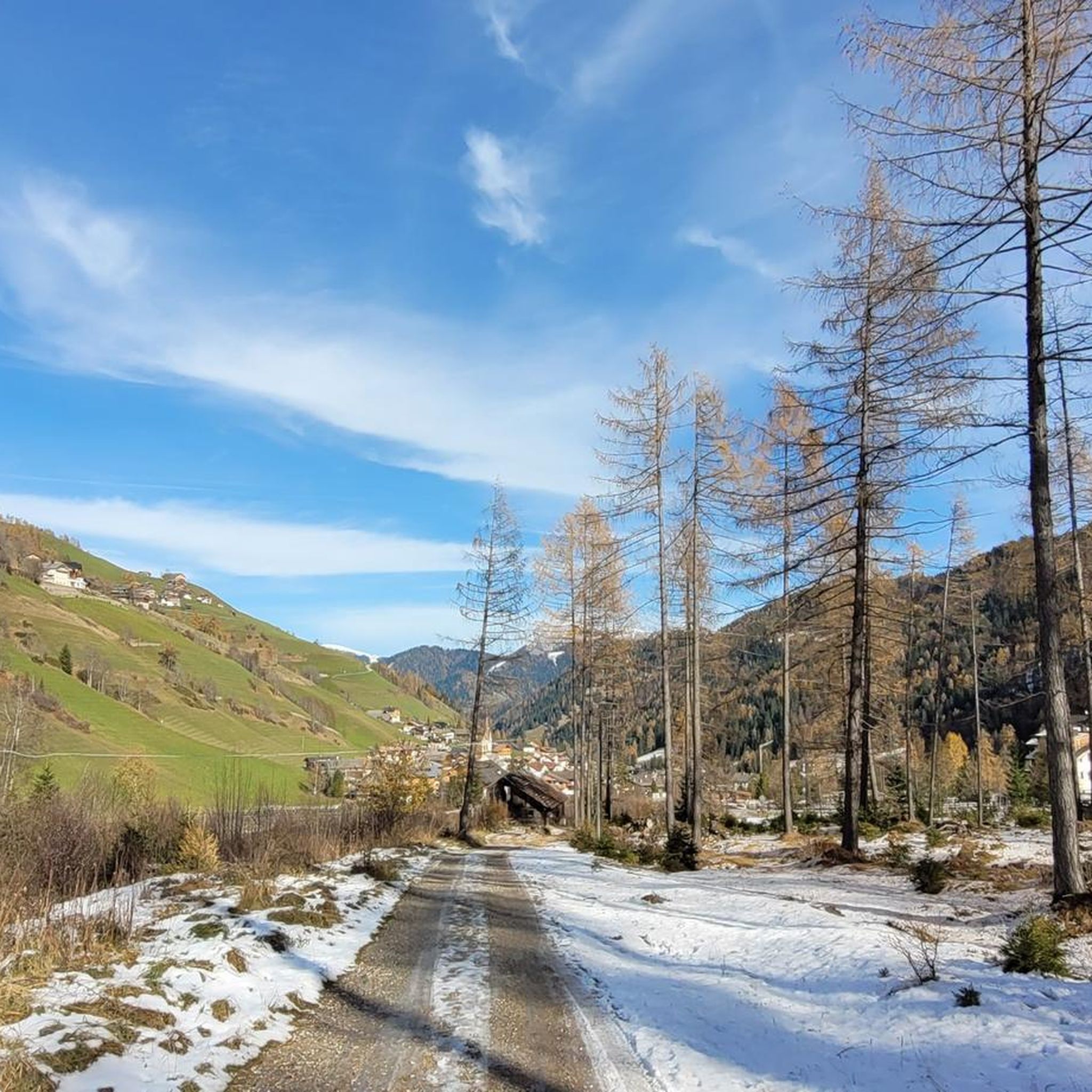
Cycling around San Martin De Tor - San Martino In Badia - St. Martin In Thurn
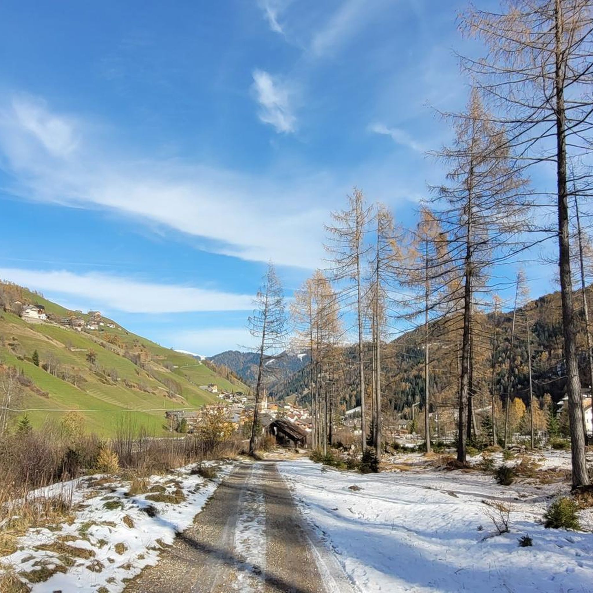
Running Trails around San Martin De Tor - San Martino In Badia - St. Martin In Thurn

Gravel biking around San Martin De Tor - San Martino In Badia - St. Martin In Thurn
Other adventures around San Martin De Tor - San Martino In Badia - St. Martin In Thurn


Tips from the Community

Is being rebuilt and is currently unavailable
0
0

In 2025, there was already snow here at the beginning of October. Areas without stone ledges became a slippery affair. Luckily, we were climbing up here. Crampons would have been overkill, but poles can be useful.
2
0

Beautifully situated alpine pasture at the foot of the Peitlerkofel. Prompt service and delicious food. 🍴🍺 If you can find a spot, you can admire the mountain range from the curved loungers. 😲 There's no shortage of play opportunities for children.
2
0
The pass is beautifully nestled between the rolling meadows of Lüsen to the north and the Pütia meadows with the steep walls of the eponymous mountain (Sas de Pütia / Peitlerkofel) to the south. From here, you have access to one of South Tyrol's most precious natural landscapes:
6
1

On the way back, we saw the imposing Geisler Mountains again: Campiller, Wasserstuhl, Wasserkofel, Torkofel, Valdussa, and Furchetta. Jürgen König, a travel journalist from Bavaria, rented the Medalges Alm for a year in the 1990s and wrote a worthwhile book about it: "Medalges - A Year in the Pale Mountains" (still available on Amazon). He described these rocks next to the Kreuzjoch as a wonderful vantage point, especially for the sunset.
0
0

The terrace of Ütia Campcios offers a spectacular view of the surrounding Dolomites, in a relaxing and authentic environment. Here you can taste typical local dishes and admire the magnificent Alpine panorama.
0
0

The roads to the Passo delle Erbe are a joy to ride from both Villnöß and Lüsen. They are generally quiet (especially from Lüsen) and generally have a good surface for a fast descent. From the Passo delle Erbe, you have beautiful views of the Peiterkofel and the Italian Dolomites. There are also plenty of opportunities to refill your water bottles and provisions up here. If you're planning a loop, I recommend not choosing the descent via Lüsen, as the asphalt is poorer there and, even in dry weather, is often wet with small streams. The route also often crosses wooden bridges, which overall diminishes the enjoyment of a fast road bike descent. However, this isn't a problem on the ascent.
6
1
Frequently Asked Questions
What kind of mountaineering routes can I find in San Martin De Tor?
The region offers a diverse range of mountaineering routes within the Dolomites, a UNESCO World Natural Heritage site. You'll find everything from challenging ascents to more moderate trails. There are 22 routes in total, with 13 rated as difficult and 8 as moderate, plus one easy option. The area is known for its impressive mountain peaks and varied geological formations.
Are there any family-friendly mountaineering routes in San Martin De Tor?
While many routes are challenging, there is one easy mountaineering route available, which could be suitable for families looking for a less strenuous option. Additionally, the wider region offers numerous well-marked hiking paths and pleasant walks through protected nature parks like Puez-Odle, which are generally more family-friendly than dedicated mountaineering routes.
What are some notable natural features or landmarks to look out for on these routes?
The area is rich in natural beauty. You can expect stunning views of Dolomite peaks like Sass de Putia. Some routes, such as the Ringspitz Waterfall – Ascent to Peitlerscharte loop from Peitlerkofelgruppe, feature scenic waterfalls. The Puez-Odle Nature Park is also a significant natural feature, offering diverse rock types and unique views. You might also encounter highlights like the Vallunga / Langental Valley or the impressive Seceda Summit in the wider area.
Are there any circular mountaineering routes available?
Yes, many of the mountaineering routes in San Martin De Tor are designed as loops. For example, the popular View of Peitlerkofel – Ascent to Peitlerscharte loop from Jü de Börz - Würzjoch - Passo delle Erbe is a circular route offering panoramic views. Another option is the Crëp da les Dodesc Summit loop from Lungiarü - Campill - Longiarù, which takes you through alpine landscapes.
How long do mountaineering routes typically take to complete?
The duration varies depending on the route's length and difficulty. For instance, the View of Peitlerkofel – Ascent to Peitlerscharte loop from Jü de Börz - Würzjoch - Passo delle Erbe, a difficult 16 km route, typically takes around 6 hours and 16 minutes. Shorter, difficult routes like the Ringspitz Waterfall – Ascent to Peitlerscharte loop from Peitlerkofelgruppe (9.2 km) can be completed in about 5 hours and 36 minutes.
What is the best time of year for mountaineering in San Martin De Tor?
The best time for mountaineering in the Dolomites, including San Martin De Tor, is generally from late spring to early autumn (May to October) when the weather is more stable and trails are clear of snow. However, conditions can vary, so always check local weather forecasts and trail conditions before heading out. During winter, the region transforms into a winter sports paradise, but mountaineering requires specialized gear and experience.
Are there any routes that pass by mountain huts or places to rest?
Yes, some routes offer opportunities to pass by or reach mountain huts. For example, the Puez Hut – Chapel at Puez Hut loop from Lungiarü - Campill - Longiarù specifically includes the Puez Hut. These huts often provide refreshments and shelter, making them great resting points during longer tours. The Franco Cavazza Hut at Pisciadù is another notable hut in the wider area.
What do other mountaineers say about the routes in San Martin De Tor?
The mountaineering routes in San Martin De Tor are highly regarded by the komoot community, holding an average rating of 4.9 stars from over 70 reviews. More than 700 mountaineers have explored the varied terrain, often praising the majestic Dolomite peaks, diverse geological formations, and the well-maintained network of trails.
Are there any routes that feature historical or cultural points of interest?
While the primary focus of these mountaineering routes is natural beauty, the region itself is rich in cultural significance. San Martino in Badia is considered the cultural heart of the Ladin valleys, offering insights into ancient Ladin traditions. You might find routes that pass through areas with historical significance, such as the First mill at Misci and Seres – Landslide in Mühltal loop from Lungiarü - Campill - Longiarù, which hints at historical agricultural practices.
What is the typical elevation gain on mountaineering routes in this area?
The elevation gain on mountaineering routes in San Martin De Tor can be substantial, reflecting the challenging mountain terrain. For instance, the Puez Hut – Chapel at Puez Hut loop from Lungiarü - Campill - Longiarù involves an ascent of over 1000 meters. Other difficult routes, like the View of Peitlerkofel – Ascent to Peitlerscharte loop from Jü de Börz - Würzjoch - Passo delle Erbe, have an elevation gain of around 850 meters.
Are there options for beginners looking to try mountaineering?
While many of the listed routes are rated as difficult, there are also moderate and one easy option available, which could be suitable for beginners or those with less experience. The region also offers various climbing gardens with routes of varying difficulties, and mountain guides are available to organize individual ascents and courses, which can be a great way for beginners to learn safely.
Can I access these mountaineering routes using public transport?
The Dolomites region, including areas around San Martin De Tor, generally has a good public transport network, especially during peak tourist seasons. While specific trailhead access by public transport can vary, it's often possible to reach starting points for hikes and mountaineering routes using local buses. It's advisable to check local bus schedules and routes in advance to plan your journey effectively.
Most popular routes around San Martin De Tor - San Martino In Badia - St. Martin In Thurn
Most popular attractions around San Martin De Tor - San Martino In Badia - St. Martin In Thurn

Get inspired with the komoot mobile app


Explore more
Browse the best Mountain Hikes & Routes in other regions.
