The best mountain hikes around Schluderns - Sluderno
4.6
(66)
474
hikers
26
hikes
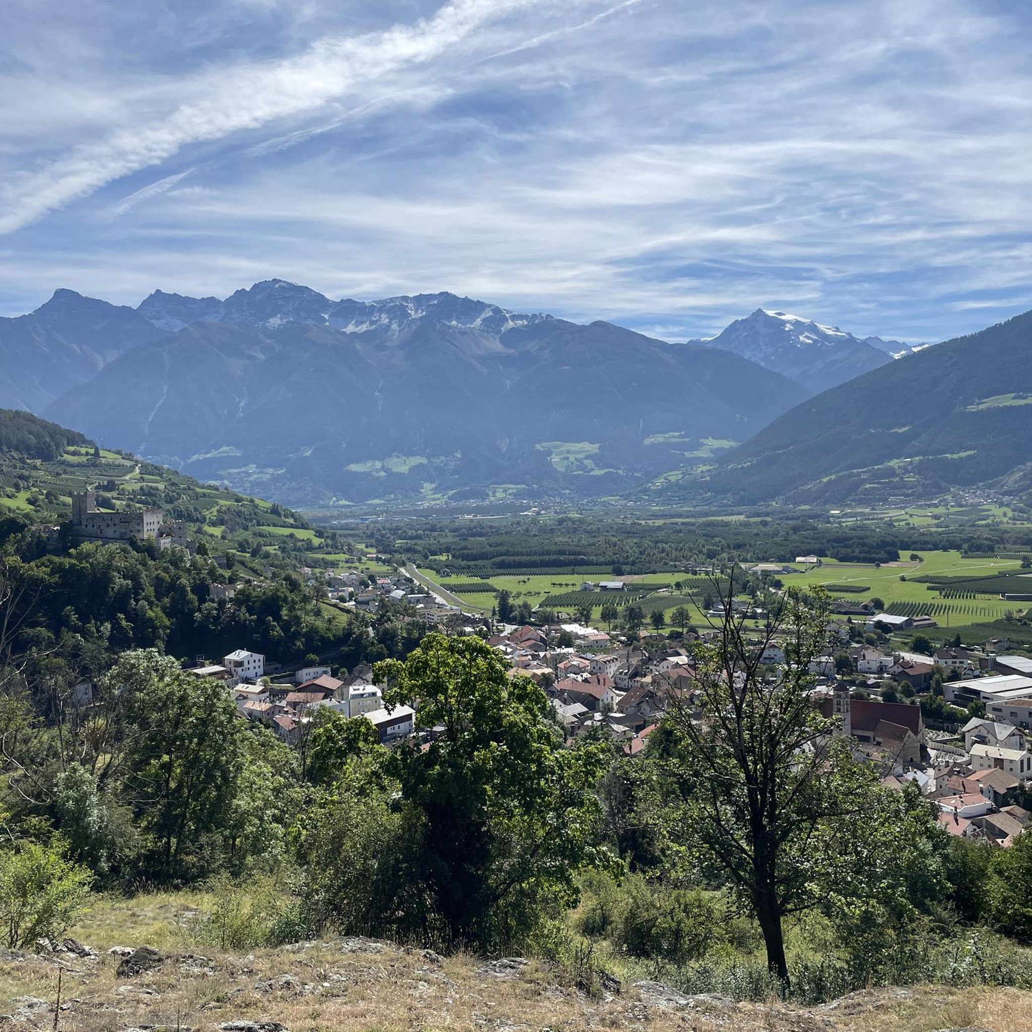
Mountaineering routes around Schluderns - Sluderno are set within the dramatic Alpine scenery of South Tyrol, offering access to the towering peaks of the Ortler Group and the vast landscapes of Stelvio National Park. The region is characterized by high-altitude terrain, including numerous peaks exceeding 3,000 meters and over 100 glaciers, providing a challenging environment for experienced mountaineers. Valleys and historic sites are often integrated into routes, blending natural beauty with cultural richness.
Best mountaineering routes around Schluderns - Sluderno
…Last updated: September 27, 2026
5.0
(4)
31
hikers
Moderate mountaineering route. Good fitness required. Mostly accessible paths. Sure-footedness required.
23
hikers
11.7km
04:55
810m
810m
Hard mountaineering route. Good fitness required. Sure-footedness, sturdy shoes and alpine experience required.

5.0
(3)
16
hikers
18.6km
06:16
740m
750m
Hard mountaineering route. Very good fitness required. Sure-footedness, sturdy shoes and alpine experience required.
3.0
(1)
14
hikers
9.44km
03:24
510m
510m
Hard mountaineering route. Good fitness required. Sure-footedness, sturdy shoes and alpine experience required.
4.0
(2)
6
hikers
Hard mountaineering route. Very good fitness required. Mostly accessible paths. Sure-footedness required.
Get access to more routes and recommendations from other explorers.
Already have an account?
Our route recommendations are based on thousands of hikes, rides, and runs completed by other people on komoot.
Start today with a free account
Your next adventure awaits.
Tips from the Community

is inhabited again by young people, were chopping wood, unreal, the lonely little house...
0
0

In the parish church, four full-length relics stand in glazed niches of the high altar. They are (from left to right): San Teodorio (Saint Theodore), San Benedetto (Saint Benedict), San Vittorio (Saint Victor), and San Fedele (Saint Fidelis).
1
0
In the parish church of St. Catherine in Schluderns, four full-length relics stand in glazed niches of the high altar. They are (from left to right): San Teodorio (Saint Theodore), San Benedetto (Saint Benedict), San Vittorio (Saint Victor), and San Fedele (Saint Fidelis).
2
0

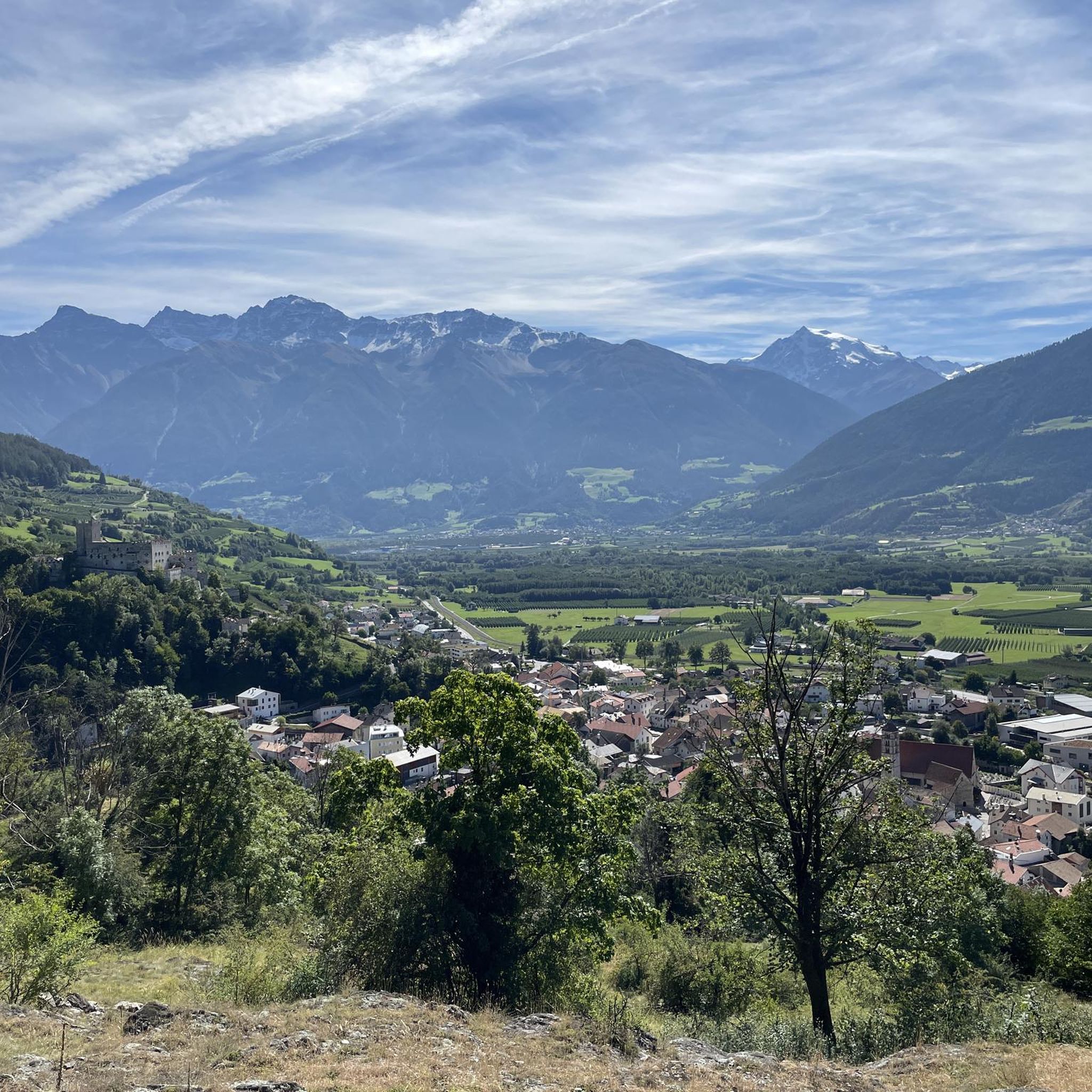
Beautiful view of the town center of Mals.
4
0
A Romanesque church with a leaning tower, an opulently decorated altar, and modern and historic windows, St. Catherine's Church preserves various testimonies to the religious devotion and artistic appreciation of previous generations.
4
0
Magnificent views of the surrounding alpine landscape in the Upper Vinschgau Valley can be enjoyed from the summit of the Watles, with its modern summit cross at 2,555 meters. There are two routes to the summit, the more scenic, albeit longer, being the route via the Galtberg.
8
0
Beautiful seating area at the Großer Pfaffensee with a view of the alpine waters.
8
0
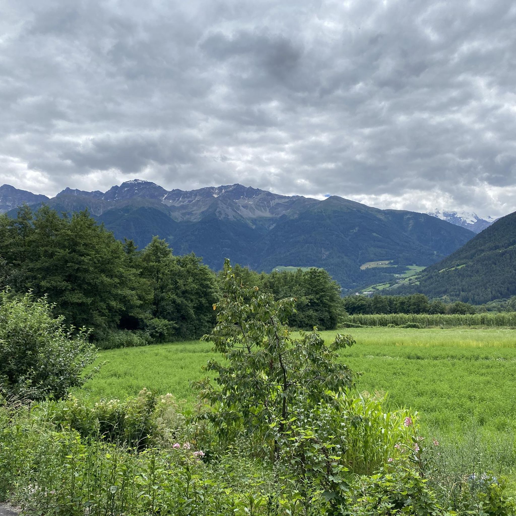
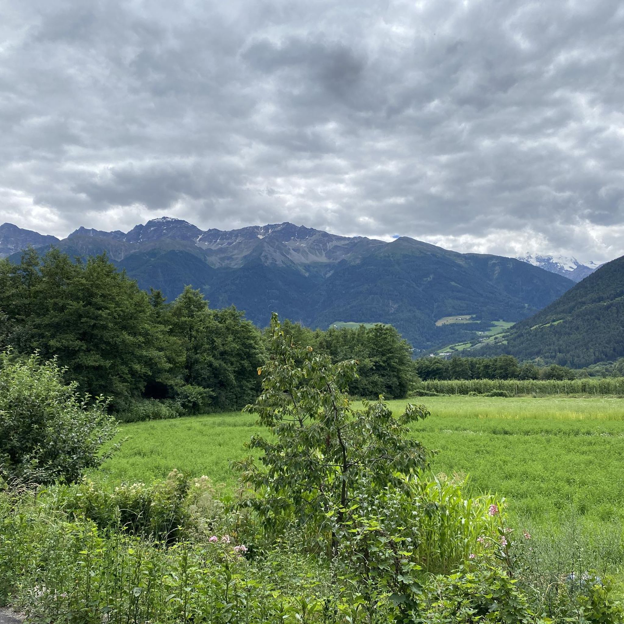
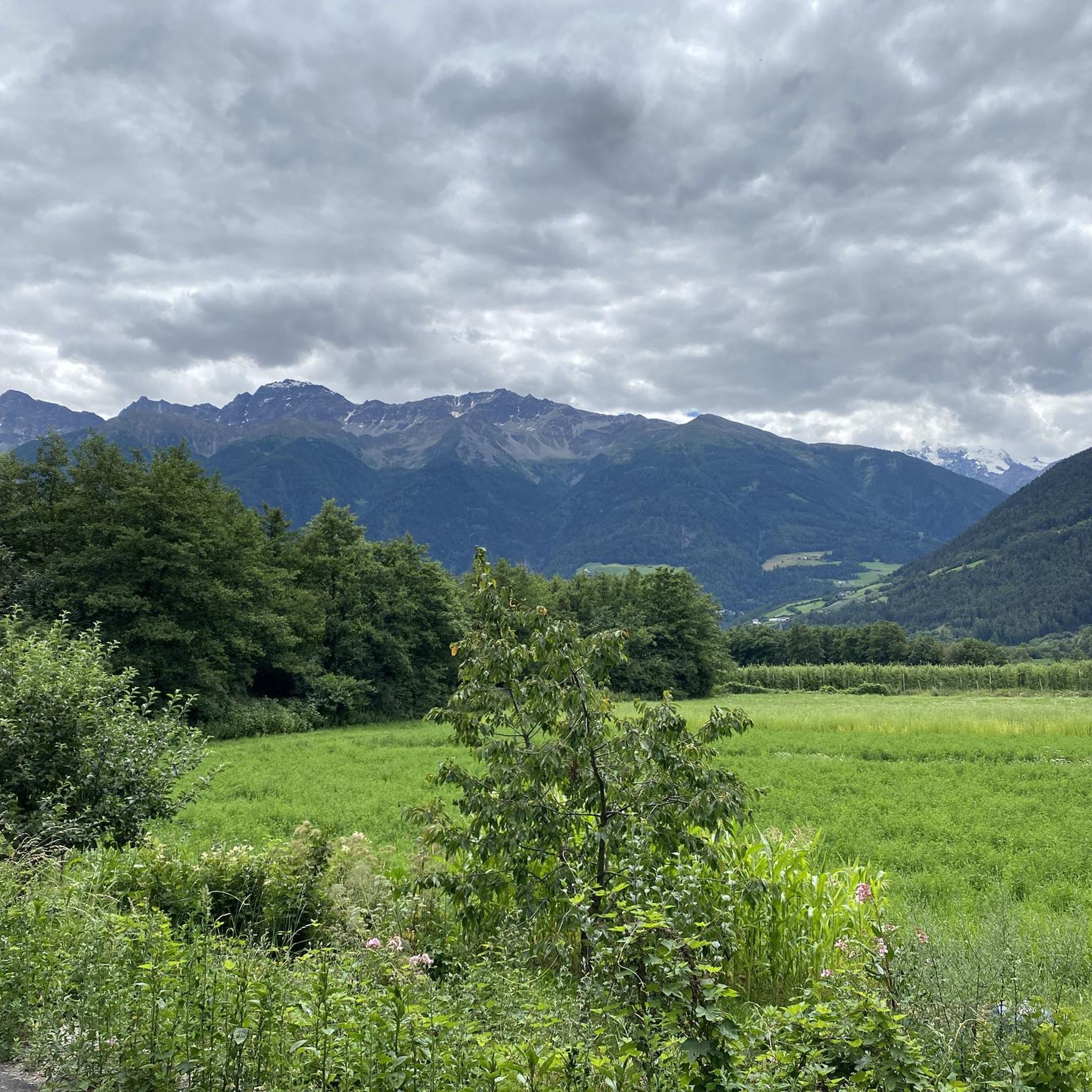
Fantastic view from the path to the Pfaffenseen lakes of the mountain landscape in the Upper Vinschgau, including the Ortler.
9
0
Frequently Asked Questions
What is the general difficulty level of mountaineering routes around Schluderns - Sluderno?
The region offers a wide range of mountaineering routes. While there are a few easier options, the majority of the trails are considered challenging. Out of 34 routes, 25 are classified as difficult, 8 as moderate, and 1 as easy. This reflects the high-alpine character of the Ortler Group and Stelvio National Park, making it an ideal destination for experienced mountaineers.
Are there mountaineering routes suitable for beginners in Schluderns - Sluderno?
Yes, there are routes suitable for those new to mountaineering or looking for a less strenuous experience. For example, the Churburg Castle Inn – Churburg loop from Schluderns-Glurns - Sluderno-Glorenza is a moderate 4.9-mile path that offers scenic views and cultural interest without extreme difficulty. There is also one route specifically classified as easy, and several moderate options available.
What natural landmarks or viewpoints can I expect to see on these routes?
Mountaineering around Schluderns - Sluderno offers breathtaking natural scenery. You can expect panoramic views of the majestic Ortler Group, including the highest peak in South Tyrol, the Ortler (3,905 m). Notable viewpoints and summits include View of Ortler, Spitzige Lun (Piz Lun) Summit, and Watles Summit. The region is also part of the vast Stelvio National Park, known for its diverse landscapes and the Sluderno Biotope, which preserves rare plant and animal species.
Are there any cultural or historical sites along the mountaineering routes?
Yes, the region beautifully blends natural beauty with cultural richness. Many routes pass by historic sites. For instance, the Churburg Castle Inn – Churburg loop from Schluderns-Glurns - Sluderno-Glorenza takes you past the historic Churburg Castle. You might also encounter remains of Matscher Castle or pass through picturesque mountain villages like Matsch, which is recognized as South Tyrol's first mountaineering village. The nearby Messner Mountain Museum Ortles also offers insights into alpine mountaineering history.
When is the best time of year for mountaineering in Schluderns - Sluderno?
The best time for mountaineering in Schluderns - Sluderno is typically during the warmer months, from late spring to early autumn (June to September), when trails are generally free of snow and weather conditions are more stable. However, due to the high-alpine terrain and the presence of over 100 glaciers in the Ortler Group, conditions can change rapidly, and some high-altitude routes may retain snow later into the season. Always check local weather and trail conditions before heading out.
Are there circular mountaineering routes available in the area?
Yes, many of the mountaineering routes around Schluderns - Sluderno are designed as loops, allowing you to start and end at the same point. Examples include the challenging Summit Cross Spitzige Lun – Tartscher Kreuz Summit Cross loop from Matsch - Mazia and the moderate Watles Summit (2558 m) – Watles Summit loop from Burgeis - Burgusio. These circular routes offer diverse scenery without the need for shuttle arrangements.
What do other mountaineers enjoy most about the routes in Schluderns - Sluderno?
The mountaineering routes in Schluderns - Sluderno are highly rated by the komoot community, with an average score of 4.8 stars from over 80 reviews. Mountaineers frequently praise the expansive views of the surrounding Alpine landscape, the challenging yet rewarding ascents, and the opportunity to explore the majestic Ortler Group and the vast Stelvio National Park. The blend of natural beauty with cultural highlights, such as Churburg Castle, is also a common highlight.
Are there any huts or places to rest and eat along the mountaineering trails?
Yes, the region has several huts and mountain restaurants that can serve as rest stops or even overnight accommodation on longer tours. You might encounter places like Planeiler Alm, Brugger Alm, or Restaurant Plantapatsch. These provide opportunities to refuel and enjoy local hospitality amidst the stunning mountain scenery. Always check opening times before your tour.
How can I access the trailheads using public transport?
Schluderns - Sluderno and its surrounding villages are generally well-connected by local bus services, especially during the peak season. These services can often take you to or near various trailheads, reducing the need for private vehicles. It's advisable to check the local public transport schedules for the Vinschgau Valley (Val Venosta) to plan your journey to specific starting points, as services might be less frequent in remote areas or during off-peak times.
Do I need any special permits for mountaineering in the Stelvio National Park?
Generally, for standard hiking and mountaineering on marked trails within the Stelvio National Park, you do not need a specific permit. However, certain activities, such as climbing specific peaks, guided tours, or accessing protected zones, might require special arrangements or permits. It's always recommended to check the official website of the Stelvio National Park for the most up-to-date regulations, especially if planning more ambitious expeditions.
Are there any challenging multi-day mountaineering options in the area?
While the provided routes are primarily day tours, the extensive network within the Ortler Group and Stelvio National Park certainly lends itself to multi-day expeditions. Many routes lead to mountain huts like Düsseldorfer Hut (Zaytal Hut) or Furkel Hut (Rifugio Forcola), which can serve as bases for longer tours. The region's 3,000-meter peaks and glaciers offer ample opportunities for extended, challenging mountaineering adventures, often requiring alpine experience and proper equipment.
Can I bring my dog on the mountaineering trails around Schluderns - Sluderno?
Many trails in the Schluderns - Sluderno region and within the Stelvio National Park are generally dog-friendly, provided dogs are kept on a leash, especially in areas with livestock or wildlife. However, specific restrictions might apply in certain protected zones, nature reserves, or on trails leading through sensitive habitats. Always check local signage and regulations before embarking on a tour with your dog, and ensure you carry enough water for both yourself and your pet.
Most popular routes around Schluderns - Sluderno
Most popular attractions around Schluderns - Sluderno

Get inspired with the komoot mobile app


Explore more
Browse the best Mountain Hikes & Routes in other regions.
