The best walks and hikes around Schluderns - Sluderno
4.5
(1681)
6,264
hikers
73
hikes
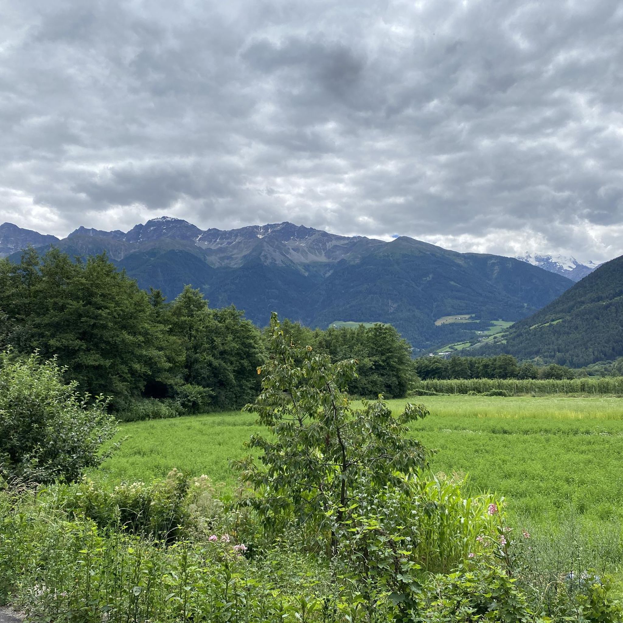
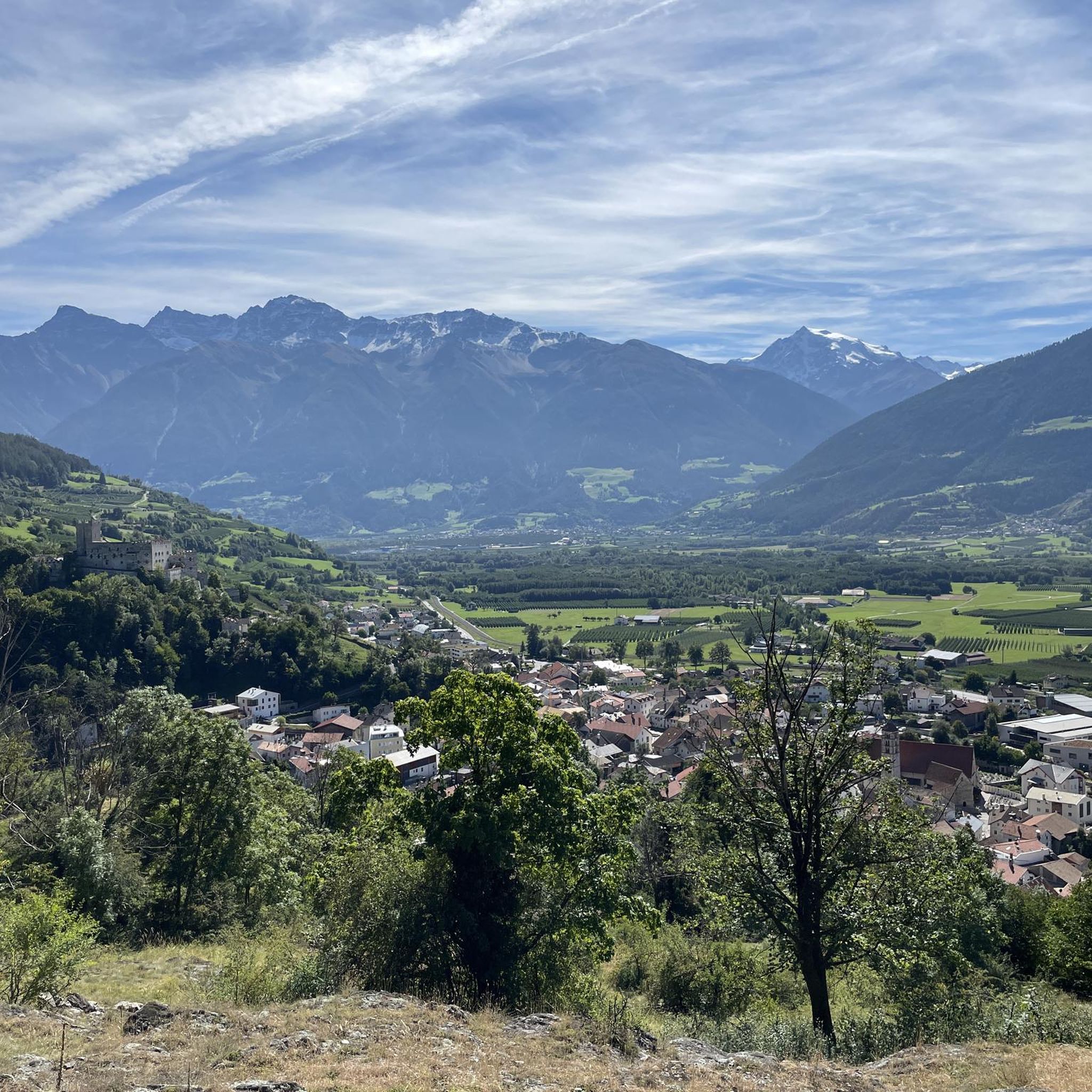
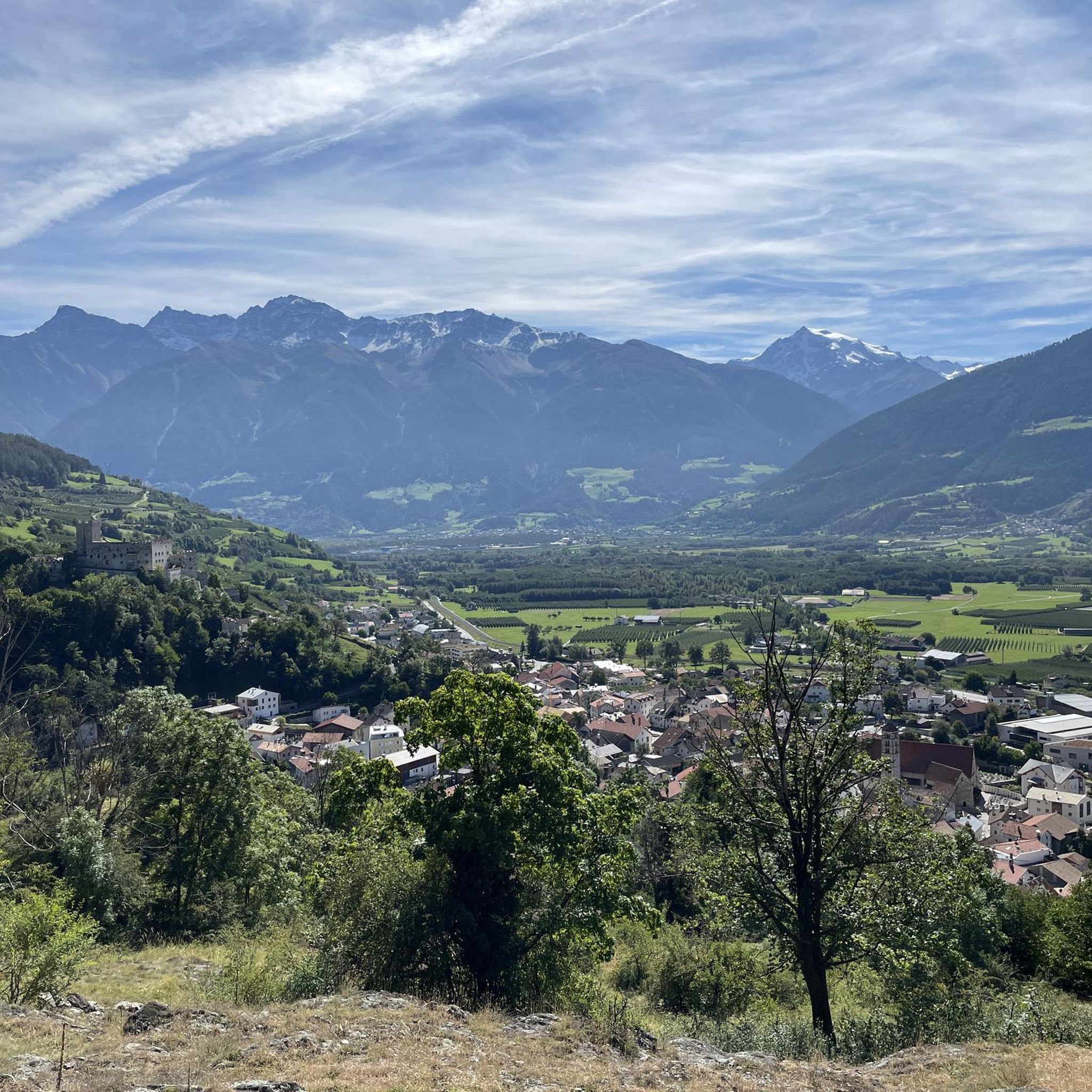
Hiking around Schluderns - Sluderno offers diverse landscapes in the Vinschgau Valley, situated at over 900 meters above sea level. The region features a mix of ancient irrigation channels known as Waalwege, forested areas in Val di Mazia, and views of the surrounding Ortles Alps. Trails range from gentle paths through orchards to challenging mountain routes, providing varied terrain for hikers.
Best hiking trails around Schluderns - Sluderno
- The most popular hiking route is Schluderns Waalwege Loop Trail, a…
Last updated: September 26, 2026
4.8
(144)
592
hikers
9.06km
03:21
460m
460m
Hike the moderate 5.6-mile Schludernser Bergwaal Trail from Churburg Castle, enjoying historic Waalwege and Vinschgau Valley views.
4.8
(917)
3,065
hikers
Moderate hike. Good fitness required. Mostly accessible paths. Sure-footedness required.

4.6
(8)
31
hikers
8.29km
03:06
470m
470m
Hike the moderate Schludernser Bergwaal Historic Irrigation Trail, a 5.2-mile route with ancient channels and panoramic views.
6.26km
02:13
380m
380m
Hike the Gschneirer Waal historic irrigation channel trail, a moderate 3.9-mile route with 1233 feet of gain and panoramic views.
4.8
(56)
266
hikers
Moderate hike. Good fitness required. Mostly accessible paths. Sure-footedness required.
Get access to more routes and recommendations from other explorers.
Already have an account?
Our route recommendations are based on thousands of hikes, rides, and runs completed by other people on komoot.
Start today with a free account
Your next adventure awaits.

Tips from the Community

Beautiful view of the town center of Mals.
4
0

Beautifully carved trunk. You can linger there and admire the carvings.
0
0

Very beautiful and unique. To be done in good weather.
1
1

The Saldurbach is a pretty wild mountain stream that can be crossed safely here. With a bit of luck, you can see dippers.
1
0
Great combination of mountain path and Waalweg, very nice to walk.
1
2
Fantastic nature experiences and a great hiking trail.
1
0
Beautiful view of the Etschtal.
1
0
Frequently Asked Questions
How many hiking trails are available around Schluderns - Sluderno?
There are nearly 80 hiking trails around Schluderns - Sluderno, offering a wide range of options for different preferences and fitness levels. These include easy walks, moderate routes, and more challenging mountain hikes.
What kind of hiking difficulties can I expect in Schluderns - Sluderno?
The trails around Schluderns - Sluderno cater to various fitness levels. You'll find approximately 25 easy routes, 47 moderate trails, and 7 more difficult hikes. This variety ensures options from leisurely strolls to demanding mountain ascents.
Are there any family-friendly hiking options in the area?
Yes, Schluderns - Sluderno offers several family-friendly routes. The unique Schluderns Waalwege Loop Trail, following ancient irrigation channels, is generally suitable for families due to its relatively flat terrain and scenic views. These Waalwege paths are often shaded, making them pleasant even on warmer days.
Can I bring my dog on the hiking trails?
Many trails in the Schluderns - Sluderno region are dog-friendly. The 'Waalwege' paths, such as the Leitenwaal Trail – Schludernser Berkwaal loop, are often suitable for walks with dogs, provided they are kept on a leash and you adhere to local regulations. Always ensure your dog is well-behaved and that you carry waste bags.
What are the best times of year for hiking in Schluderns - Sluderno?
The Vinschgau Valley, where Schluderns - Sluderno is located, is excellent for hiking from spring through autumn. The 'Waalwege' paths are particularly enjoyable during warmer months due to their shade. For higher alpine routes, summer and early autumn offer the most favorable conditions. Winter hiking is also possible on designated trails, but requires appropriate gear and awareness of snow conditions.
Are there any circular hiking routes available?
Yes, many routes in the area are circular. For example, the Schluderns Waalwege Loop is a popular circular trail that allows you to experience the unique irrigation channels and return to your starting point without retracing your steps.
What natural features or landmarks can I see while hiking?
Hiking in Schluderns - Sluderno offers diverse natural beauty and historical landmarks. You can explore the picturesque Vinschgau Valley, the unique 'Waalwege' irrigation channels, and the lush Val di Mazia. Keep an eye out for the Gomagoi Fort and scenic viewpoints like the Bike Path Along the Schludernser Au Nature Reserve. The region is also known for its views of the Ortles Alps.
Are there any historical sites or cultural attractions accessible from the trails?
Absolutely. Many hiking paths lead past or offer views of historical sites. The prominent Churburg Castle, a well-preserved 13th-century fortress, is a significant landmark. You can also visit Ganglegg, a prehistoric settlement, which adds a cultural dimension to hikes along paths like the Leiten Waalweg. The nearby medieval town of Glurns (Glorenza) is also worth exploring post-hike.
What do other hikers enjoy most about hiking in Schluderns - Sluderno?
The area is highly rated by the komoot community, with an average score of 4.5 stars from over 2,100 reviews. Reviewers often praise the diverse landscapes, the unique experience of the 'Waalwege' paths, and the stunning views of the Ortles Alps. The blend of natural beauty with rich cultural heritage is also frequently highlighted.
Are there any longer, more challenging routes for experienced hikers?
Yes, for experienced hikers seeking a challenge, the surrounding mountains offer more demanding routes. Trails leading towards the Watles Summit or the Sesvenna Hut provide significant elevation gains and require good fitness and sure-footedness. These routes offer a true alpine experience.
Is there public transport available to reach trailheads?
The Vinschgau Valley has a well-developed public transport network, including buses and a train line, which can help you reach various starting points for hikes. It's advisable to check local timetables for specific routes to plan your journey to the trailheads effectively.
Where can I find parking for hiking trails?
Parking is generally available in and around Schluderns - Sluderno, often near popular trailheads or in the village center. Specific parking information for individual routes can usually be found on local tourism websites or detailed hiking maps.
What is the typical duration for hikes in the region?
Hike durations vary significantly depending on the trail's length and difficulty. Easy Waalwege paths might take a couple of hours, while moderate routes like the Saldurbach Bridge – Schludernser Berkwaal loop can take around 4 hours 25 minutes. More challenging mountain ascents can be full-day excursions.
Most popular routes around Schluderns - Sluderno
Most popular attractions around Schluderns - Sluderno

Get inspired with the komoot mobile app


Explore more
Browse the best Hikes in other regions.
