The 20 Most Amazing Peaks around Sant'Orsola Terme
Best mountain peaks around Sant'Orsola Terme are situated within the Mocheni Valley in Trentino, Italy, offering access to the Lagorai mountain range. This region is characterized by its volcanic porphyry rocks and diverse terrain, ranging from gentle slopes to rugged ridges. The area provides varied hiking experiences and insights into the local natural and historical landscape. Sant'Orsola Terme serves as a base for exploring these peaks, which include prominent summits and historical sites.
Best mountain peaks around Sant'Orsola Terme
- The…
Last updated: May 26, 2026
Marzola Peak
Highlight • Summit
Translated by Google •
Tip by

Monte Calisio Summit Cross
Highlight • Summit
Translated by Google •
Tip by

Sign up now to discover places like this
Get recommendations on the best single tracks, peaks, & plenty of other exciting outdoor places.
Sign up for free
Dos Le Grave
Highlight • Viewpoint
Translated by Google •
Tip by

Dosso di Costalta (1,955 m)
Highlight • Summit
Translated by Google •
Tip by
Cima Panarotta summit and war memorial
Highlight • Summit
Translated by Google •
Tip by

Sign up for free to discover even more peaks around Sant'Orsola Terme.
Sign up for free
Already have an account?
Start today with a free account
Your next adventure awaits.
Login or Signup


Tips from the Community

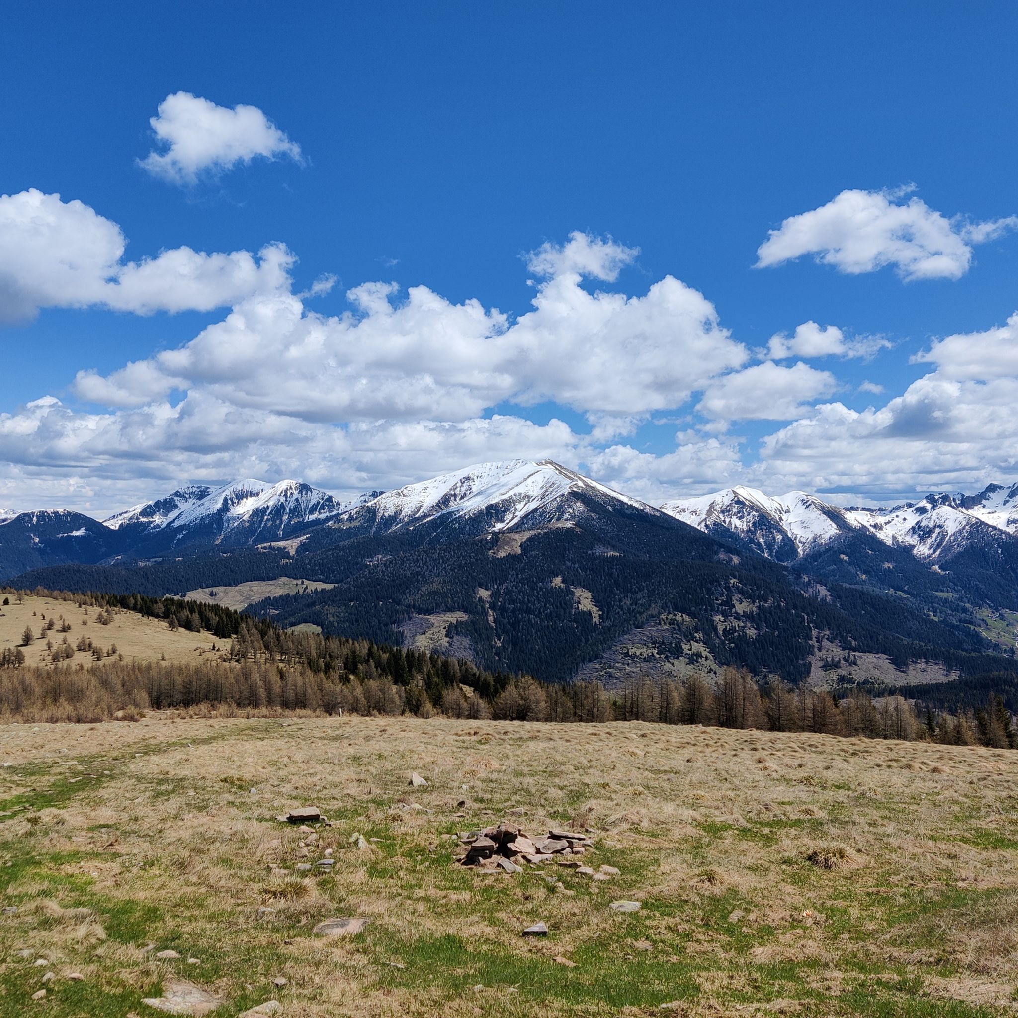
Beautiful location with a panoramic view of the Adige Valley, Montevaccino, and the Piné plateau.
0
0

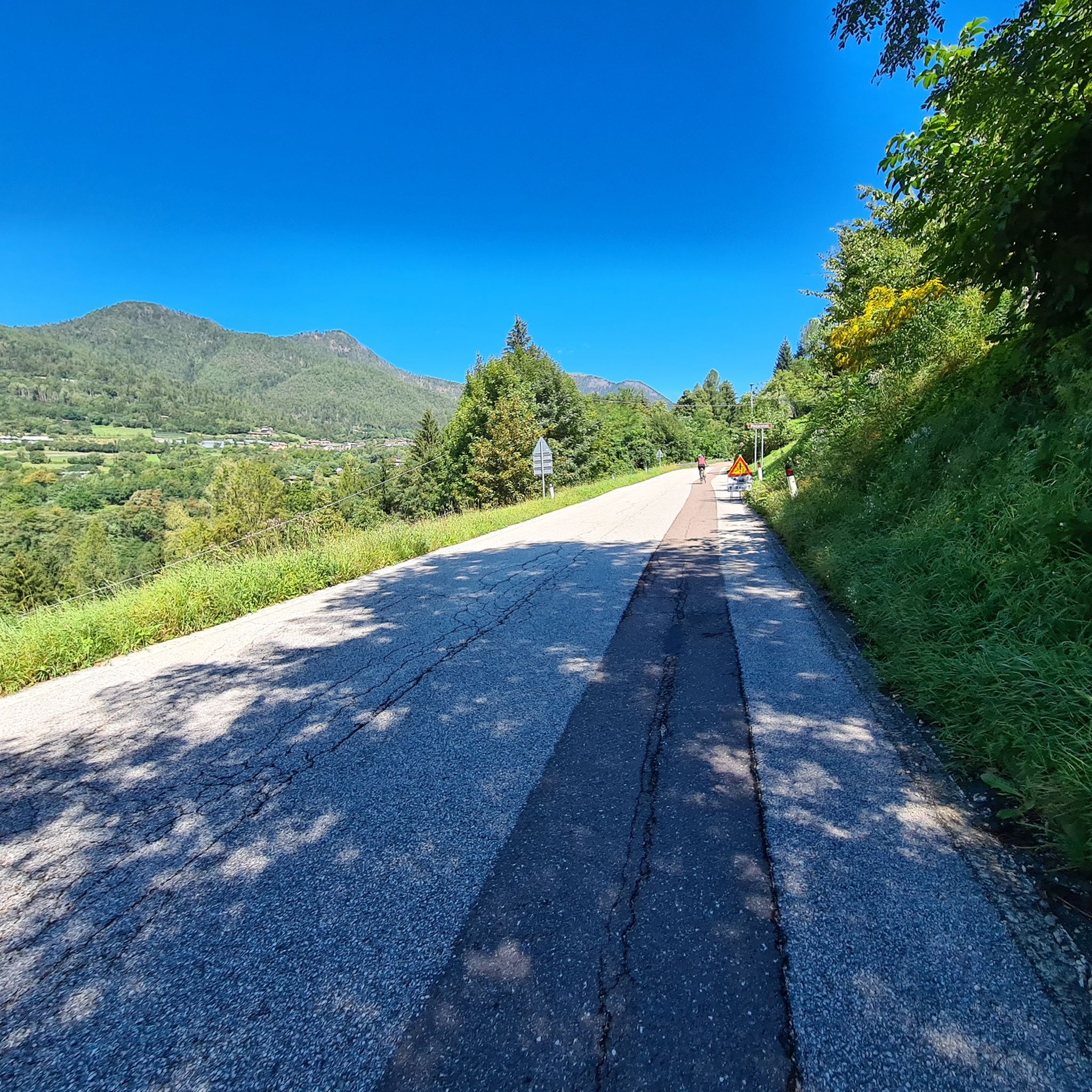
Accessible both in summer and winter, the route allows you to see the Valsugana from above and to walk near the mountain station of an abandoned cable car
0
0

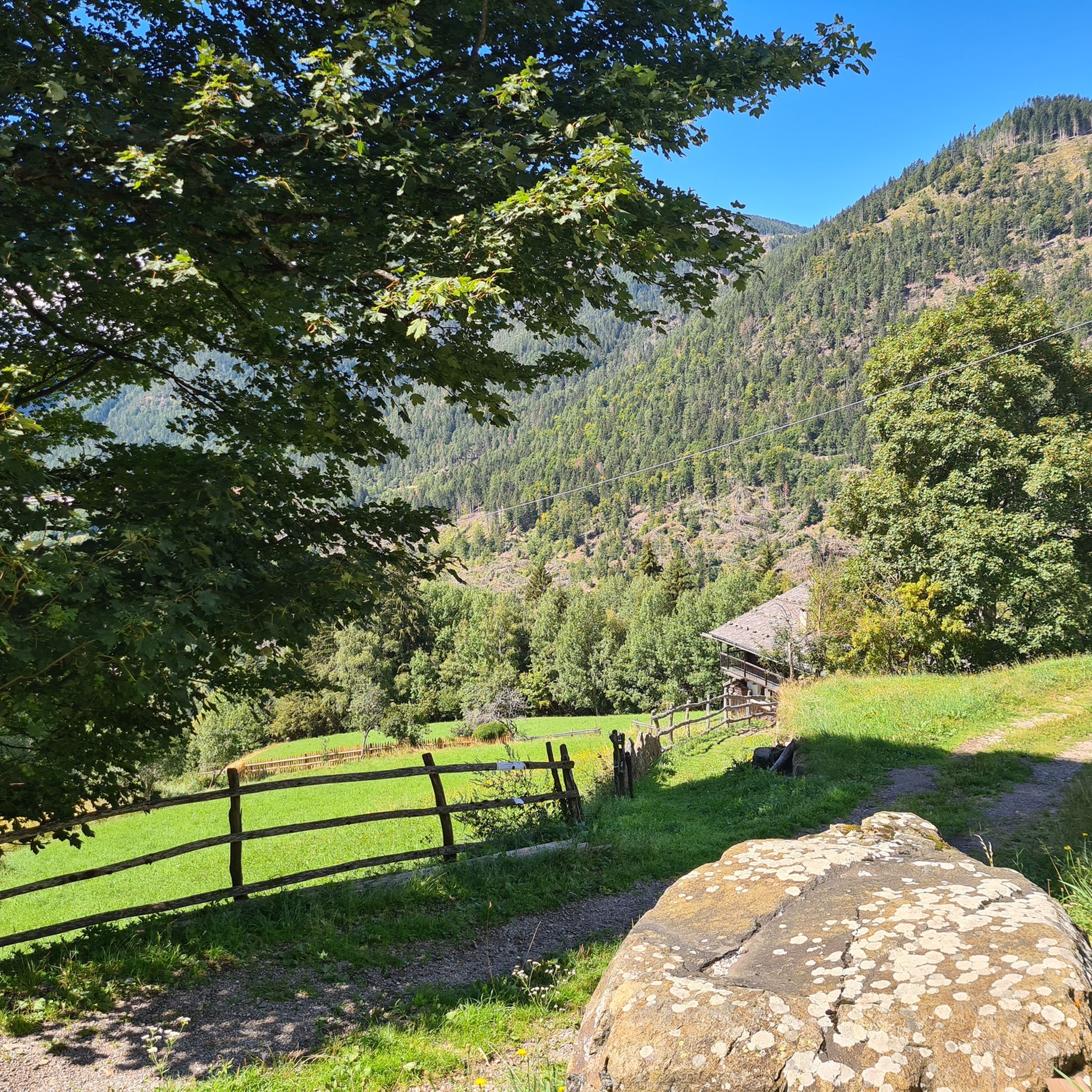
Dos Le Grave (or Doss de le Grave) is one of the most interesting natural areas in the Argentario Ecomuseum, in the Monte Calisio area. It features an important biotope that displays two extremely different environmental typologies: a wetland and an arid zone, located respectively at the foot and on the western flank of Dos. A characteristic of this small, semi-desert-like elevation is the striking presence of bonsai-like Scots pines growing on waste material from silver mining (an activity that affected the entire plateau from the 11th to the 15th century). The arid portion is in immediate contact with the wetland below. This peat bog was formed by the filling of a small lake basin. Small bodies of open water still remain from this basin.
1
0
Mount Calisio (also known as Argentario) is a 1,096-meter peak located between the municipalities of Trento and Civezzano. It is part of the Monte Croce-Sette Selle mountain chain. The area below (the Argentario Plateau) was once home to important silver mines, which declined in importance in the 15th century. The area, semi-abandoned for centuries, was rediscovered in the 20th century with the ever-increasing growth of residential areas. Mount Calisio features an underground fortification built by the Austrians starting in August 1915. It was one of the largest and most modern structures in the Trento fortress, with a classic "H" shape consisting of two galleries, 250 and 160 meters long, and a connecting tunnel. Later, 10-12 meter vertical concrete shafts were dug to install two howitzers in armored cupolas. The bases of the M16 aircraft can still be seen on the summit. Today, Mount Calisio is crisscrossed by numerous hiking trails maintained by the SAT (a subsection of the Italian Alpine Club) in collaboration with the Argentario Ecomuseum. The summit offers a fabulous view of the Adige Valley and part of the Valsugana.
1
0

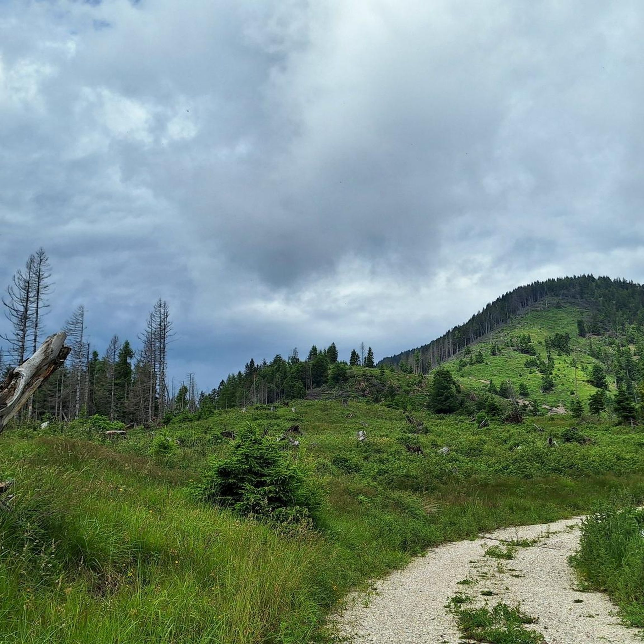
from the Miola Ice Palace to the Dosso di Costalta beautiful and easy
0
0


It has many trails to explore and you can do many kilometers and altitude without ever passing on the same track
0
0
Monte e Cima Calisio You can get there from a really beautiful forest road also suitable for Gravel Bike
0
0
Frequently Asked Questions
What are some of the most popular mountain peaks to explore near Sant'Orsola Terme?
One of the most popular peaks is Dosso di Costalta (1,955 m), known for its stunning 360-degree panoramic views of the Brenta Dolomites and the Pinè Plateau. Another highly appreciated spot is Cros del Cuc, a viewpoint offering unique vistas of the Dolomites and the surrounding nature.
Are there any family-friendly mountain hikes around Sant'Orsola Terme?
Yes, there are options suitable for families. Cros del Cuc is easily reachable along a forest path and is considered family-friendly. The ascent to Cima Panarotta summit and war memorial also offers family-friendly sections, though some parts can be more challenging.
What kind of natural features can I expect to see on the mountain peaks in this region?
The peaks around Sant'Orsola Terme, particularly within the Lagorai mountain range, offer diverse natural beauty. You'll find volcanic porphyry rocks with unique colors, alpine meadows, coniferous forests, and numerous alpine lakes. Many summits, like Dosso di Costalta, provide expansive panoramic views of other mountain ranges and valleys.
Are there challenging mountain climbs for experienced hikers?
Absolutely. For experienced hikers, Monte Ruioch (2,415 m) offers a more challenging ascent, often involving exposed sections, especially in spring. Within the broader Lagorai range, peaks like Cima Cece (2,754 m), Monte Croce (2,490 m), and Monte Cauriol (2,494 m) provide exciting challenges and spectacular views. Monte Fravort also presents a steep climb rewarded with splendid views.
What historical sites can be found on the mountain peaks?
The region has significant historical relevance. Cima Panarotta summit and war memorial features a war memorial. Monte Calisio Summit Cross includes legacies of the Austrian army from World War I, with an underground fortification and information boards about tunnels and shafts. Dosso di Costalta also has historic quarry ruins from 1950s mining activities.
What is the best time of year to hike the mountain peaks near Sant'Orsola Terme?
The best time for hiking is generally from late spring to early autumn. During June, for example, the azaleas bloom beautifully around areas like Cima Panarotta. Autumn and winter can offer great panoramas, especially if you start early to avoid backlighting for photography, but some routes may have exposed snowy ridges, making them more suitable for experienced hikers.
What outdoor activities, besides hiking, can I do near these mountain peaks?
The area around Sant'Orsola Terme offers various outdoor activities. You can find numerous cycling routes, including moderate to difficult options like the 'Lago della Serraia – Lago della Serraia loop from Baselga di Piné' or the 'Val dei Mocheni Bridleway – Forest Descent loop from Sant'Orsola Terme'. For more details, explore the Cycling around Sant'Orsola Terme guide. Gravel biking is also popular, with routes like the 'Lake Caldonazzo – Lake Caldonazzo loop from Canezza' available in the Gravel biking around Sant'Orsola Terme guide.
Are there specific hiking trails recommended for different difficulty levels?
Yes, the region caters to various skill levels. For moderate hikes, consider the 'Redebus Pass – Dosso di Costalta (1,955 m) loop from Valle dei Mocheni' or the 'Passo del Redebus – Malga Cambroncoi Walk loop from Valle dei Mocheni'. For more challenging routes, the 'Dosso di Costalta Ridge Trail (via SAT 405)' and the 'Passo Poben – Mount Ruioch loop from Valle dei Mocheni' are excellent choices. You can find more details in the Hiking around Sant'Orsola Terme guide.
What do visitors enjoy most about the mountain peaks around Sant'Orsola Terme?
Visitors frequently highlight the breathtaking panoramic views, especially the 360-degree vistas from summits like Dosso di Costalta. The sense of accomplishment after a challenging climb, the diverse landscapes, and the opportunities for solitude in the untouched wilderness of the Lagorai range are also highly appreciated. Many enjoy the beautiful scenery, particularly when azaleas are in bloom.
Can I find places to eat or rest near the hiking trails?
Yes, some routes pass by amenities. For instance, the SAT path E404 to Dosso di Costalta from Passo Redebus passes by Malga Pec and Malga Cambroncoi, which includes an agritur and restaurant, offering a place to rest and eat during your hike.
What is the Lagorai mountain range, and how does it relate to Sant'Orsola Terme?
Sant'Orsola Terme is nestled within the Mocheni Valley, providing direct access to the Lagorai mountain range. The Lagorai is one of Trentino's most pristine and wild areas, characterized by its unique volcanic porphyry rocks. It offers varied terrain, numerous alpine lakes, rich biodiversity, and holds historical significance, making it a prime destination for nature lovers and hikers seeking untouched wilderness.
Are there opportunities for wildlife spotting in the mountains?
The Lagorai mountain range, which is accessible from Sant'Orsola Terme, is rich in biodiversity. Its alpine meadows, coniferous forests, and pastures are home to various flora and fauna. While specific wildlife sightings cannot be guaranteed, the untouched wilderness increases the chances of encountering local wildlife.
Most popular routes around Sant'Orsola Terme
Most popular attractions around Sant'Orsola Terme

Get inspired with the komoot mobile app


Explore more
See even more amazing summits around Sant'Orsola Terme with these guides:
