The best walks and hikes around Sant'Orsola Terme
4.4
(773)
4,700
hikers
31
hikes
Hiking around Sant'Orsola Terme offers access to the Valle dei Mòcheni, a region characterized by the Lagorai mountain range, featuring peaks like Monte Ruioch and Dosso di Costalta. The landscape includes alpine lakes such as Lake Erdemolo, the Fersina stream, and extensive forests and meadows. This area provides a diverse terrain for outdoor activities, ranging from valley walks to challenging mountain ascents.
Best hiking trails around Sant'Orsola Terme
- The most popular hiking route is Dosso di Costalta Summit Trail,…
Last updated: August 30, 2026
4.0
(1)
8
hikers
10.6km
05:32
1,020m
1,020m
Hard hike. Very good fitness required. Mostly accessible paths. Sure-footedness required.
4.5
(121)
571
hikers
11.8km
04:04
540m
540m
Moderate hike. Good fitness required. Mostly accessible paths. Sure-footedness required.

Sign up for free
4.7
(27)
150
hikers
16.0km
07:09
990m
990m
Hard hike. Very good fitness required. Sure-footedness, sturdy shoes and alpine experience required.
4.3
(7)
45
hikers
6.65km
02:02
250m
260m
Moderate hike. Good fitness required. Easily-accessible paths. Suitable for all skill levels.
4.3
(14)
78
hikers
11.1km
04:16
550m
550m
Moderate hike. Good fitness required. Mostly accessible paths. Sure-footedness required.
Get access to more routes and recommendations from other explorers.
Sign up for free
Already have an account?
Our route recommendations are based on thousands of hikes, rides, and runs completed by other people on komoot.
Start today with a free account
Your next adventure awaits.
Login or Signup
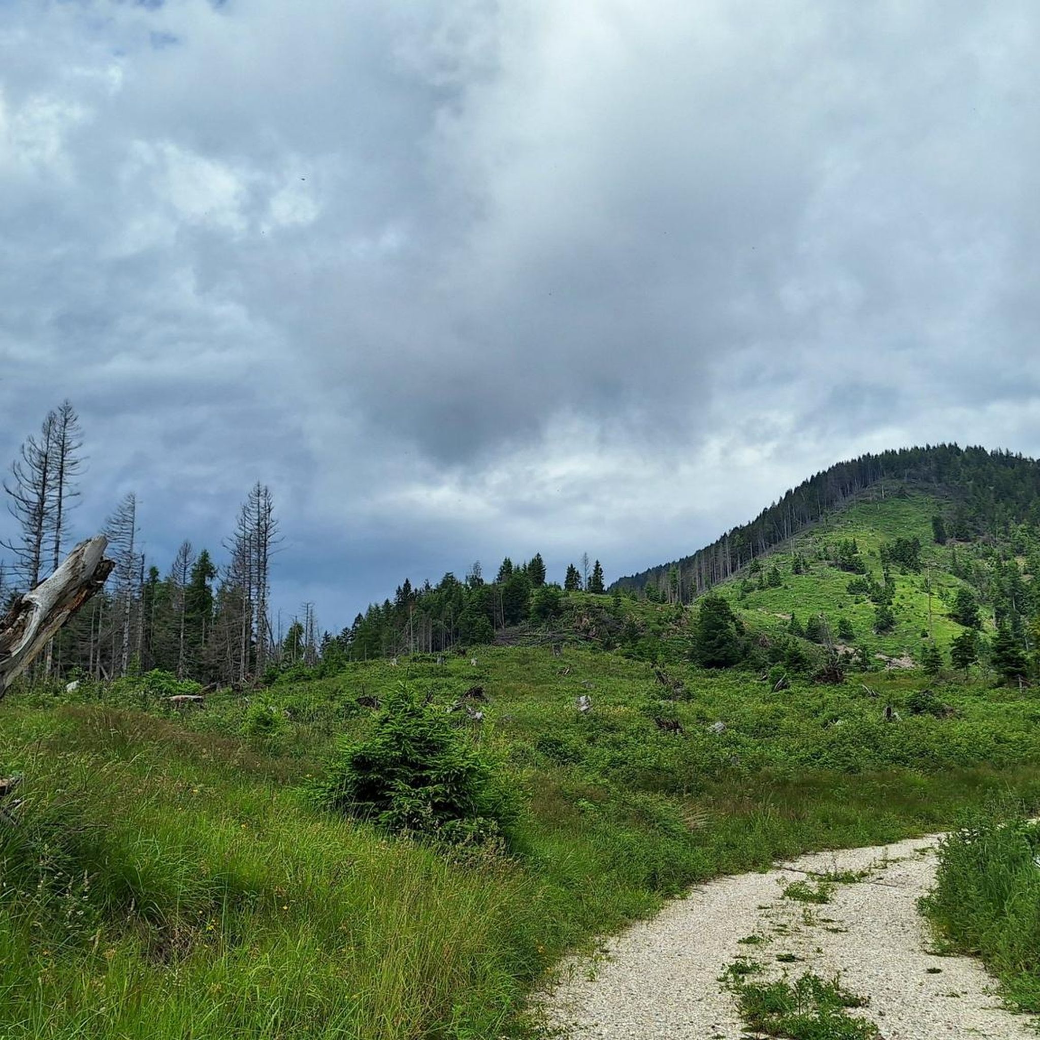
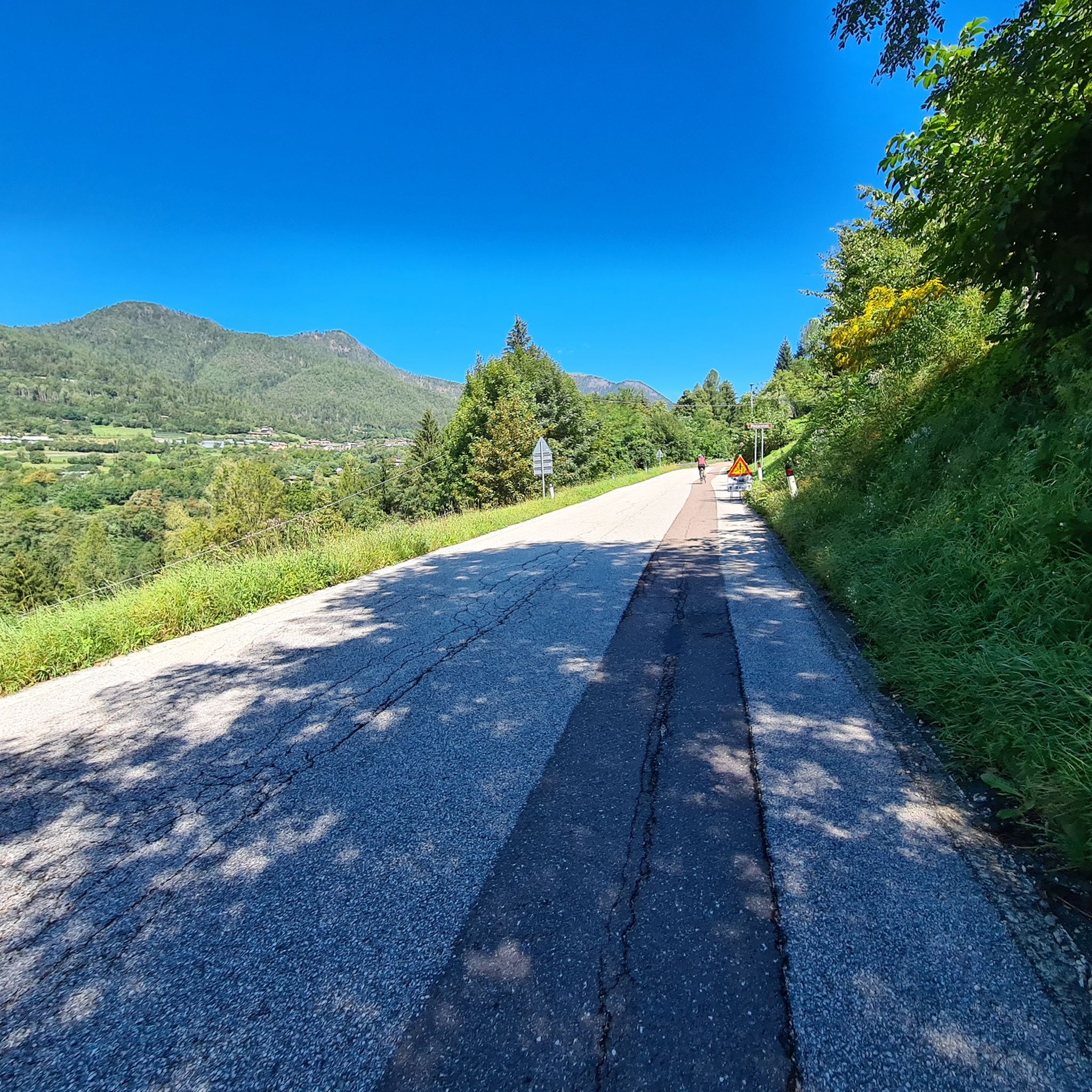
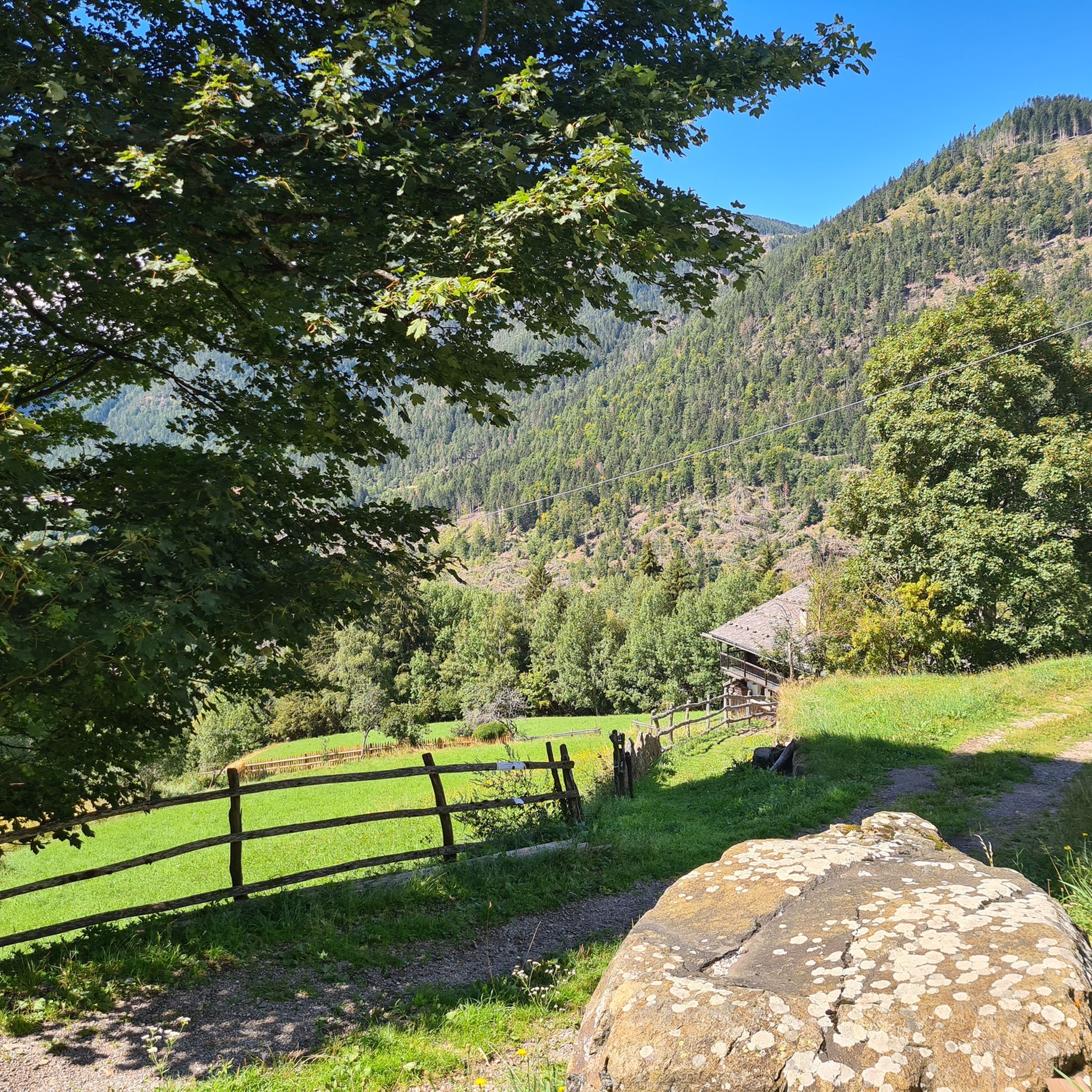
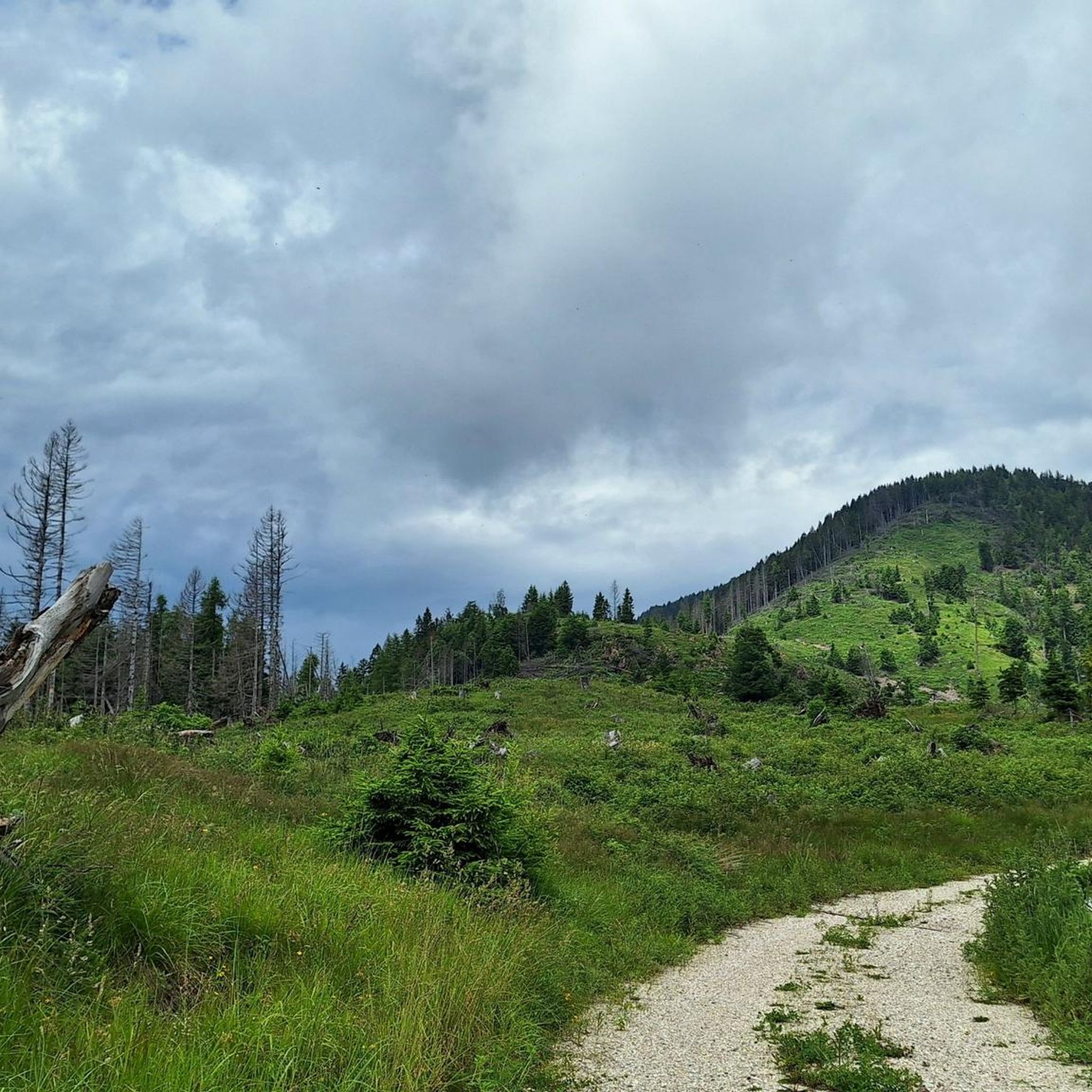


Tips from the Community

Beautiful view from the Dosso, easy path.
0
0

Beautiful walk towards the Costalta ridge.
0
0
One of the most popular peaks in the valley
0
0
Pass between the Fersina valley and the Pinè plateau
0
0

The necessary gear (E-Mtb), depending on the season for wind +/- cold. Opening
0
0

Be sure to stop by! You won't find a better sense of life in southern South Tyrol!
0
0

Excellent fresh ricotta and tosella
0
0

Very nice alpine pasture, friendly service.
0
0
Frequently Asked Questions
How many hiking trails are available around Sant'Orsola Terme?
There are over 25 hiking trails around Sant'Orsola Terme, offering a diverse range of experiences from easy valley strolls to challenging mountain ascents in the Lagorai range. The komoot community has explored more than 4000 routes in the area.
What is the best time of year to go hiking in Sant'Orsola Terme?
The Valle dei Mòcheni is beautiful year-round. For high-altitude hikes in the Lagorai mountains, late spring through early autumn (May to October) is ideal. Lower valley walks and trails through forests and meadows are enjoyable from spring to late autumn, with vibrant colors in spring and spectacular foliage in autumn. Winter offers opportunities for snowshoeing and ski mountaineering.
Are there any family-friendly hiking trails in the area?
Yes, Sant'Orsola Terme offers several family-friendly options. The region is known for the Sentiero Fatato (Fairy Tale Path), a woodland trail adorned with wooden statues and carved gnomes, providing a magical experience for children. Many easy valley walks through meadows and past traditional mountain farms are also suitable for families.
Can I bring my dog on the hiking trails?
Generally, dogs are welcome on trails in the Valle dei Mòcheni. However, it's always advisable to keep them on a leash, especially in areas with livestock or protected wildlife. Please ensure you clean up after your pet to maintain the natural beauty of the area.
Are there any circular hiking routes around Sant'Orsola Terme?
Yes, many routes in the area are designed as loops. For example, the Redebus Pass – Dosso di Costalta (1,955 m) loop from Valle dei Mocheni is a moderate 7.3-mile (11.8 km) path exploring varied mountain terrain. Another option is the Passo Poben – Mount Ruioch loop from Valle dei Mocheni, a more challenging 10.0-mile (16.1 km) trail through high-altitude areas.
What natural attractions or landmarks can I see while hiking?
The region is rich in natural beauty. You can hike to the stunning Lake Erdemolo, an alpine lake at 2,000 meters. Trails also follow the Fersina stream, where you can find an open-air museum with old sawmills and grinding mills. The unique earth pyramids of Segonzano are also visible from some routes. The area is part of the Lagorai mountain range, offering impressive peaks and panoramic views.
Are there any historical or cultural sites accessible via hiking trails?
Yes, the Valle dei Mòcheni offers a blend of nature and culture. Some trails pass by traditional mountain farms (masi) and ancient watermills, providing insight into local heritage. You can also admire Castello di Segonzano from certain routes. The Museo Pietra Viva serves as a starting point for the Fairy Tale Path and offers cultural insights into the area's mining history.
What are the difficulty levels of hikes in Sant'Orsola Terme?
The trails around Sant'Orsola Terme cater to all levels. There are 3 easy routes for leisurely walks, 15 moderate trails for those seeking a bit more challenge, and 9 difficult routes for experienced hikers looking for demanding mountaineering ascents in the Lagorai range. An example of a difficult route is the Dosso di Costalta Summit Trail.
Is public transport available to reach trailheads?
While specific bus routes to individual trailheads can vary, Sant'Orsola Terme is generally accessible by public transport within the Trentino region. For detailed information on bus schedules and routes to specific starting points, it is recommended to check local transport provider websites or consult the tourist information office in Sant'Orsola Terme or the Valle dei Mòcheni. You can find more information about the region at visittrentino.info.
What do other hikers say about the trails in Sant'Orsola Terme?
The hiking routes in Sant'Orsola Terme are highly rated by the komoot community, with an average score of 4.5 stars from over 600 reviews. Hikers often praise the diverse terrain, from lush forests and meadows to impressive mountain peaks, and the breathtaking views of the Lagorai range and sometimes even the Brenta Dolomites.
Are there any places to eat or drink along the trails?
Many trails in the Valle dei Mòcheni pass through or near traditional mountain farms (masi) and small villages where you might find local eateries or refuges. It's always a good idea to research specific routes beforehand to see if there are any refreshment points available, especially for longer hikes. Packing your own snacks and water is recommended.
Are there any permits required for hiking in the Sant'Orsola Terme region?
No specific hiking permits are generally required for day hikes in the Sant'Orsola Terme and Valle dei Mòcheni region. However, always respect private property, follow marked trails, and adhere to any local regulations, especially within protected natural areas.
Most popular routes around Sant'Orsola Terme
Most popular attractions around Sant'Orsola Terme

Get inspired with the komoot mobile app


Explore more
Browse the best Hikes in other regions.
