The best walks and hikes around Ronshausen
4.6
(4525)
14,464
hikers
83
hikes
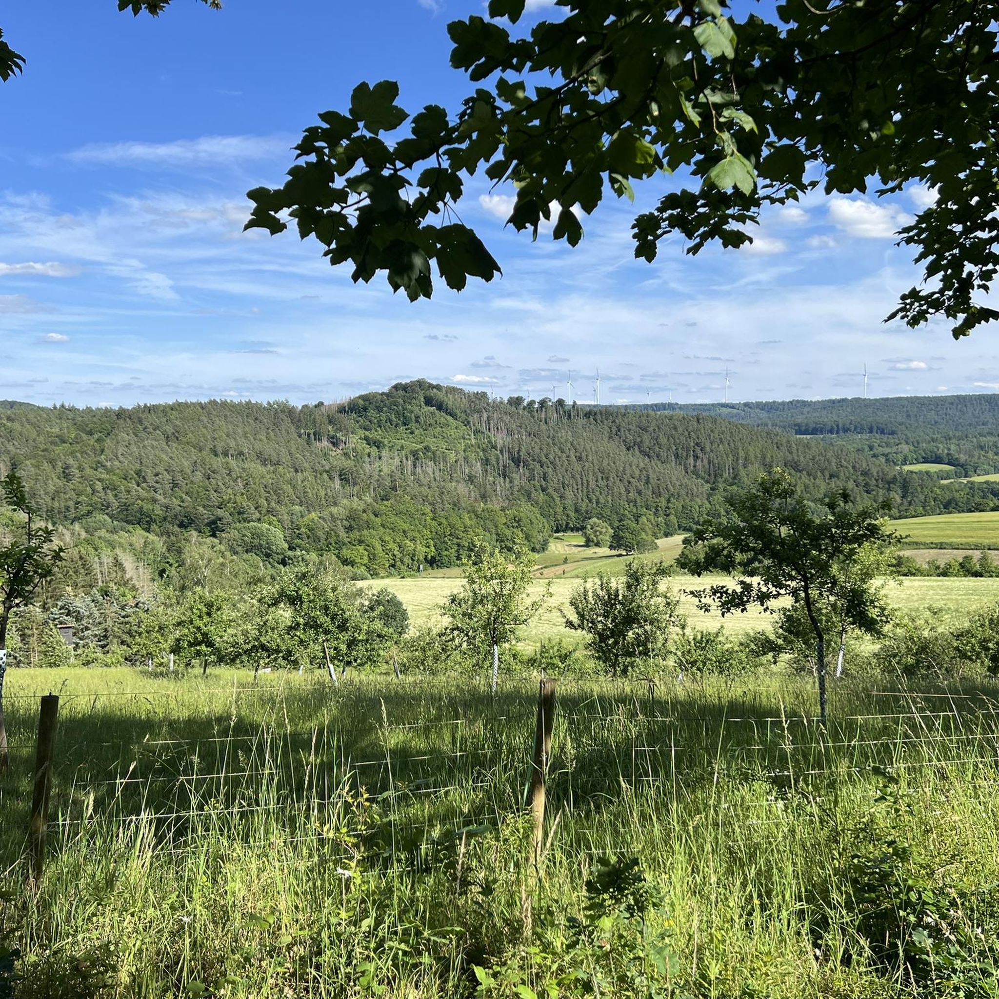
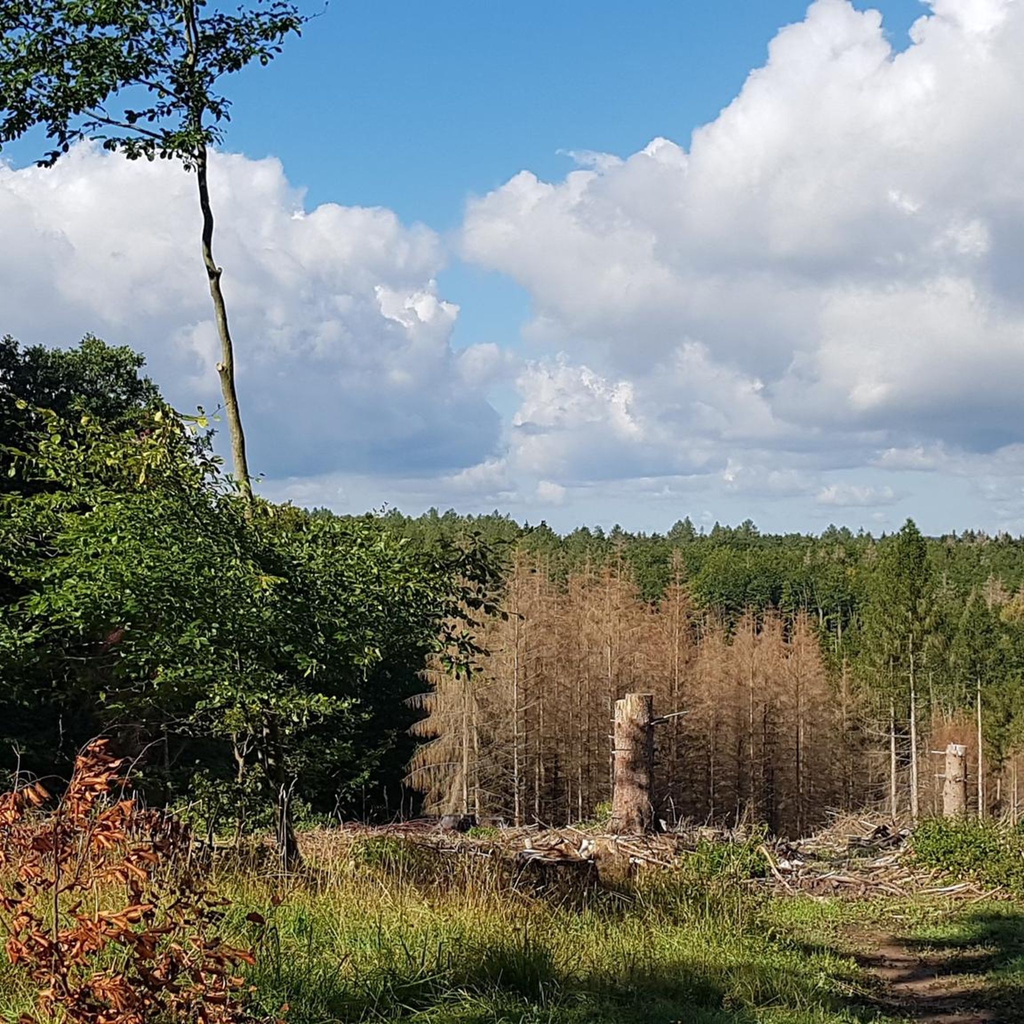
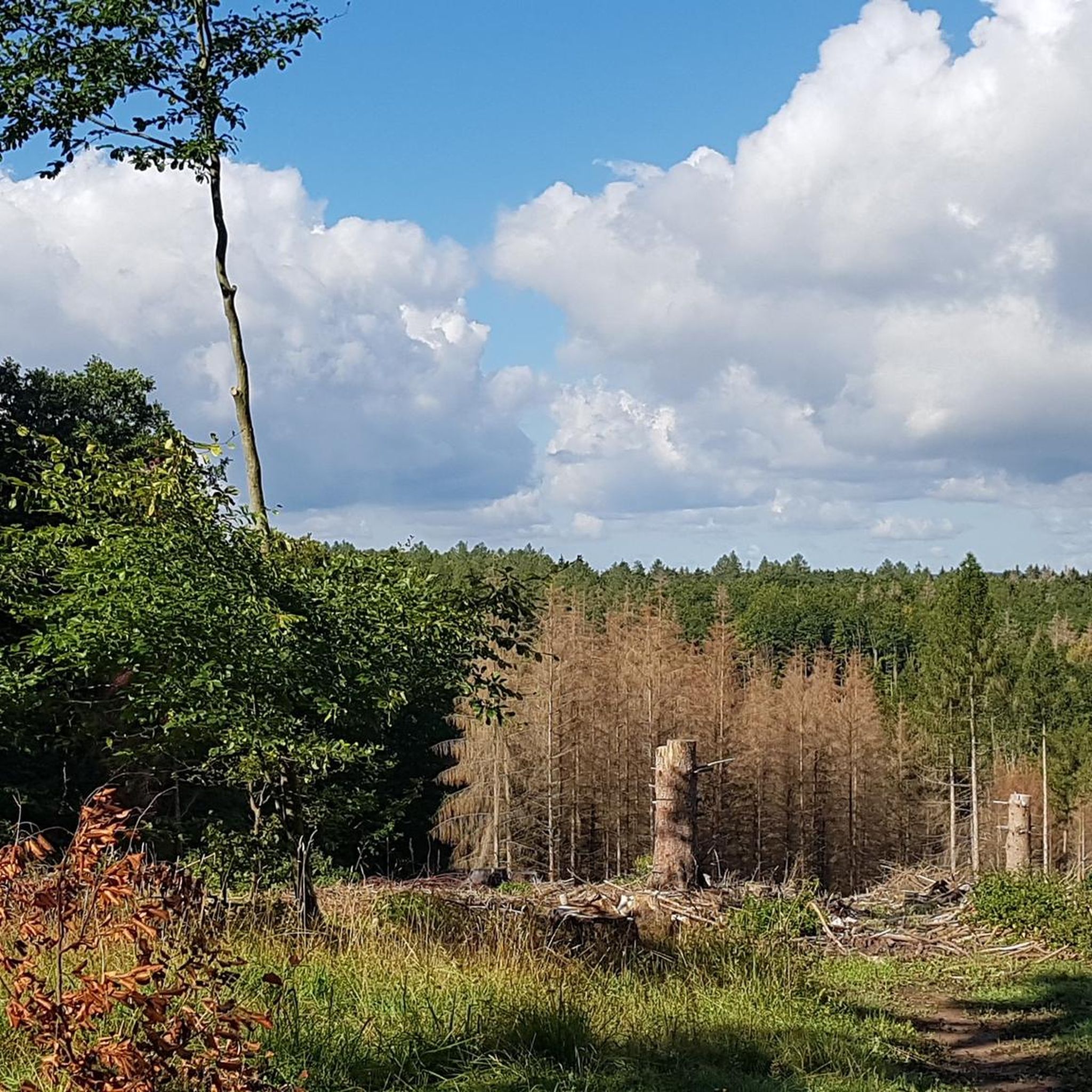
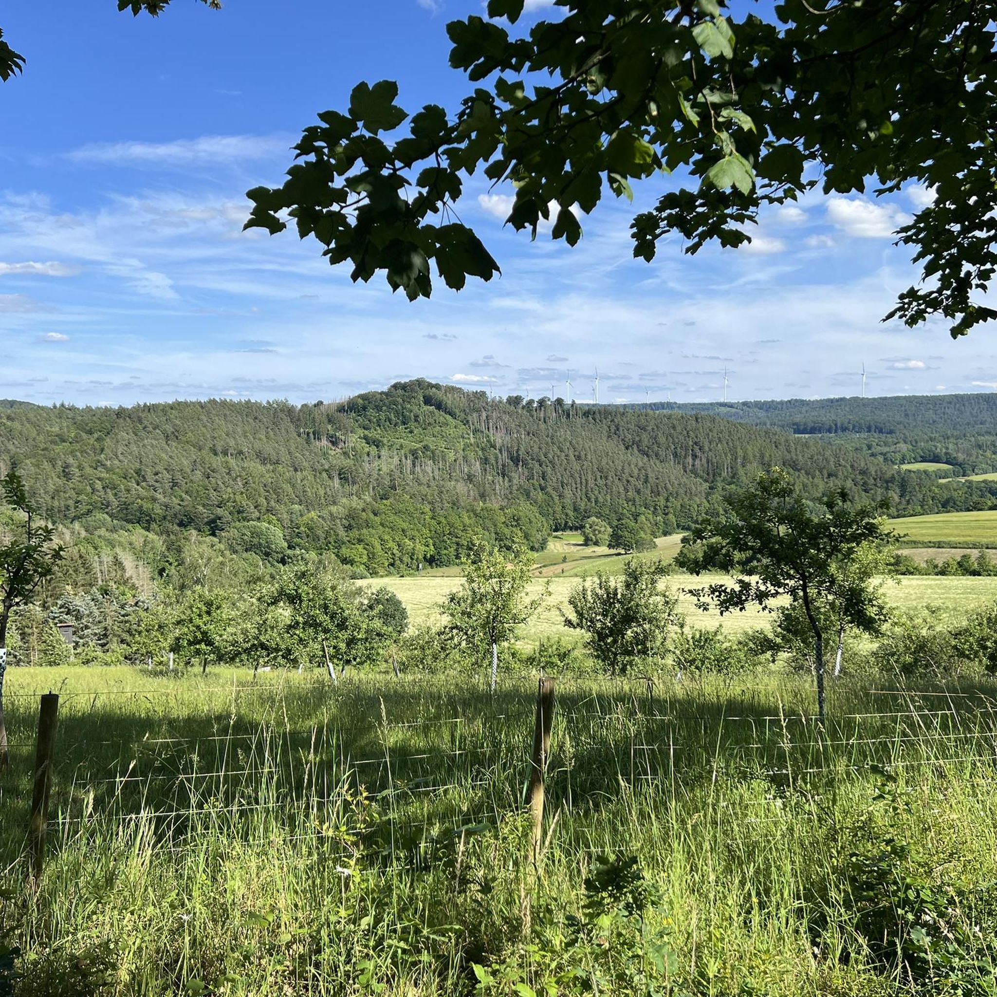
Hiking around Ronshausen offers diverse landscapes, situated between the Thuringian Forest and the Rhön Mountains in northeastern Hesse, Germany. The region is characterized by dense mixed forests, picturesque valleys with meadows and streams, and distinctive ridges like the Seulingswald and Richelsdorf Hills. Hikers can explore scenic river courses such as the Ulfe valley and the Fulda, providing varied terrain for outdoor activities.
Best hiking trails in Ronshausen
- The most popular hiking route is Silzerbach Valley – Bäreneiche loop from Ronshausen…
Last updated: July 1, 2026
4.4
(24)
72
hikers
19.4km
05:26
390m
390m
Hard hike. Very good fitness required. Easily-accessible paths. Suitable for all skill levels.
4.3
(18)
54
hikers
Moderate hike. Good fitness required. Easily-accessible paths. Suitable for all skill levels.

Sign up for free
4.7
(18)
46
hikers
10.2km
02:54
230m
230m
Moderate hike. Good fitness required. Easily-accessible paths. Suitable for all skill levels.
4.6
(17)
41
hikers
11.0km
03:06
230m
230m
Moderate hike. Good fitness required. Easily-accessible paths. Suitable for all skill levels.
4.0
(11)
27
hikers
7.28km
02:02
140m
140m
Moderate hike. Good fitness required. Easily-accessible paths. Suitable for all skill levels.
Get access to more routes and recommendations from other explorers.
Sign up for free
Already have an account?
Our route recommendations are based on thousands of hikes, rides, and runs completed by other people on komoot.
Start today with a free account
Your next adventure awaits.
Login or Signup

Tips from the Community

Here you can take a short breather.
0
0
The adventure trail, not just for children
0
0
Up high... Looks interesting.
0
0
Very well-maintained lake and grounds… There's plenty to read while walking around it.
0
0

The nature adventure trail in Iba has a new station at Dachsberg.
1
0

And a great place to rest on the Luther benches.
1
0

The village fountain of the deserted village of Hammundeseiche is located right next to the pond and the oak tree.
2
0
Frequently Asked Questions
How many hiking trails are there in Ronshausen?
Ronshausen offers an extensive network of over 80 hiking trails, covering 118 kilometers. These trails cater to various difficulty levels, from easy walks to more challenging routes, ensuring there's something for every hiker.
What is the best time of year to go hiking in Ronshausen?
Ronshausen's mild climate makes hiking enjoyable almost all year round. Spring brings blooming meadows, autumn offers vibrant colors in the deciduous forests, and even in summer, the shaded forest passages provide a pleasant experience. Winter hiking is also possible, though conditions may vary.
Are there any family-friendly hiking trails in Ronshausen?
Yes, Ronshausen is great for families. The Fairytale Trail around Machtlos is particularly recommended, as it brings various fairytale characters to life and offers numerous resting and play areas, fostering imagination for children.
Are there circular hiking routes available in Ronshausen?
Many trails in Ronshausen are circular. A notable option is the Extratour Ronshausen, a premium circular trail that guides hikers through three different valleys with quiet streams and forest meadows. Another popular choice is the Bäreneiche – Wilhelm Oak Natural Monument loop from Ronshausen, which offers varied forest terrain.
What kind of landscapes can I expect to see while hiking in Ronshausen?
Ronshausen boasts diverse and picturesque landscapes. You'll encounter dense mixed forests, including sections of the primeval forest Sababurg, picturesque valleys with wide meadows, meandering streams, and tranquil fish ponds. The area also features distinctive ridges and rolling hills like the Seulingswald and Richelsdorf Hills, alongside scenic river courses such as the Ulfe valley and the Fulda.
What do other hikers enjoy most about hiking in Ronshausen?
The area is highly rated by the komoot community, with an average score of 4.6 stars from over 290 reviews. Hikers often praise the diverse landscapes, well-maintained trails, and the peaceful atmosphere of the forests and valleys. Nearly 1000 hikers have used komoot to explore Ronshausen's varied terrain.
Are there any challenging hiking routes in Ronshausen?
While many trails are easy to moderate, there are options for more experienced hikers. The Silzerbach Valley – Bäreneiche loop from Ronshausen is classified as difficult, covering 19.4 km and typically taking over 5 hours to complete, leading through quiet streams and forest meadows.
Can I find scenic viewpoints on the hiking trails?
Absolutely. The Panorama Circular Path Allerhätten is specifically known for its splendid distant views, rewarding hikers with breathtaking vistas of the surrounding countryside. The 'Hochrhöner' Premium Hiking Trail also offers numerous vantage points for relaxation and scenic views.
Are there historical sites or landmarks to explore along the trails?
Yes, Ronshausen's trails often reveal historical traces. The Fulda-Quellen-Pfad, for instance, not only showcases natural beauty but also leads past old castles and palaces. Additionally, a portion of the historic Lutherweg 1521, commemorating Martin Luther's journey, passes through the area, following ancient trade and military roads.
Are there any castles or ruins near Ronshausen that I can visit?
Yes, the region around Ronshausen is rich in historical sites. You can explore several castles and ruins, such as Tannenburg, Friedewald Water Castle, and the Dreienburg Ruins. These offer fascinating insights into the area's past.
Are there any adventure trails or nature experience paths in Ronshausen?
Yes, for those seeking a mix of activity and education, the Steinbachtal Adventure Trail and the Iba Nature Experience Trail provide both sporty engagement and informative insights into the local environment. The Wackelsteg on the adventure trail – Climbing frame on the adventure trail loop from Ronshausen is a moderate route that highlights these features.
What is the typical duration for a moderate hike in Ronshausen?
Moderate hikes in Ronshausen vary in length and duration. For example, the Wackelsteg on the adventure trail – Climbing frame on the adventure trail loop from Ronshausen is about 9.2 km and takes approximately 2 hours 27 minutes. Another moderate option, the Bäreneiche – Wilhelm Oak Natural Monument loop from Ronshausen, is 10.2 km and typically completed in about 2 hours 54 minutes.
Most popular routes around Ronshausen
Most popular attractions around Ronshausen

Get inspired with the komoot mobile app


Explore more
Browse the best Hikes in other regions.
