The best walks and hikes around Gandellino
4.5
(3965)
24,810
hikers
25
hikes
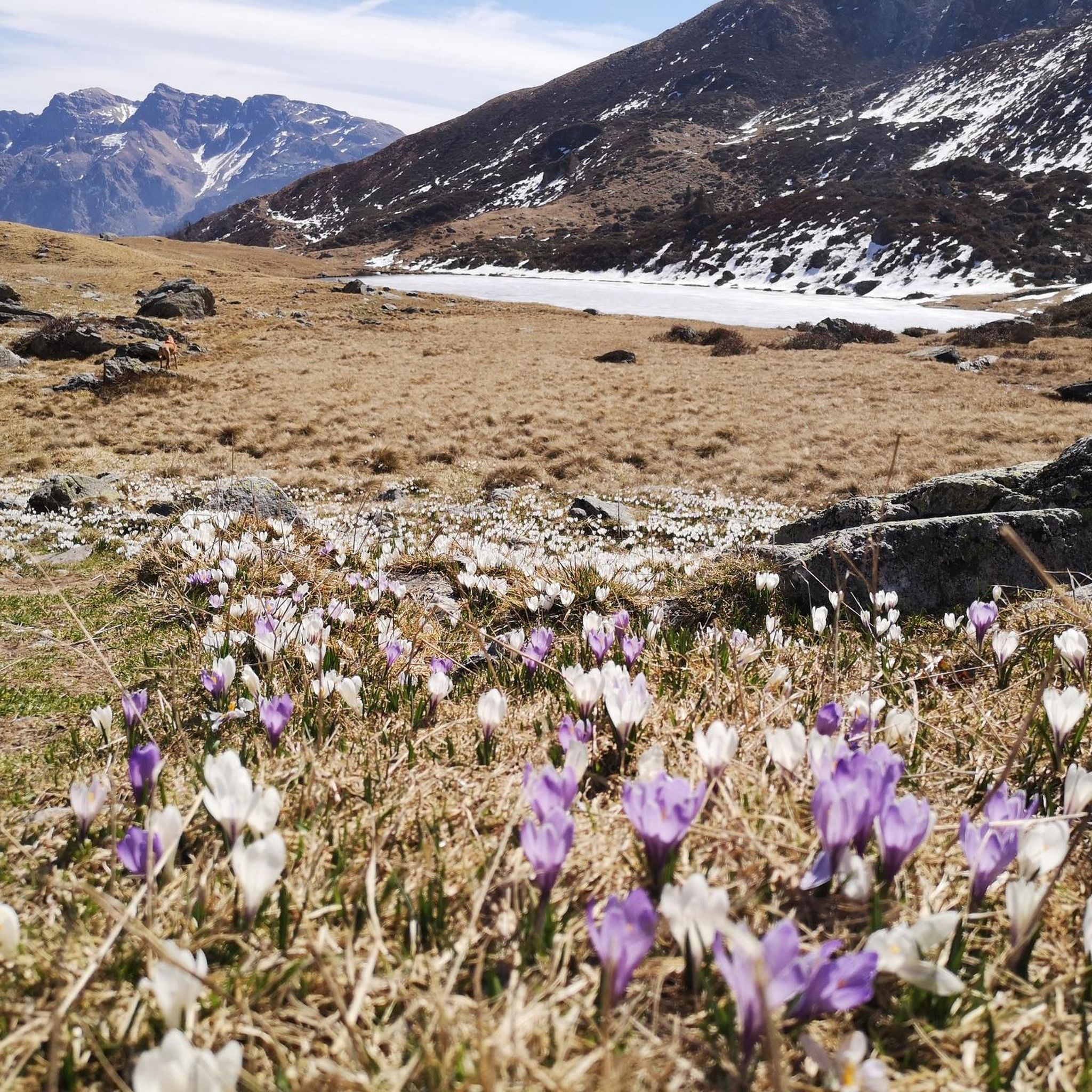
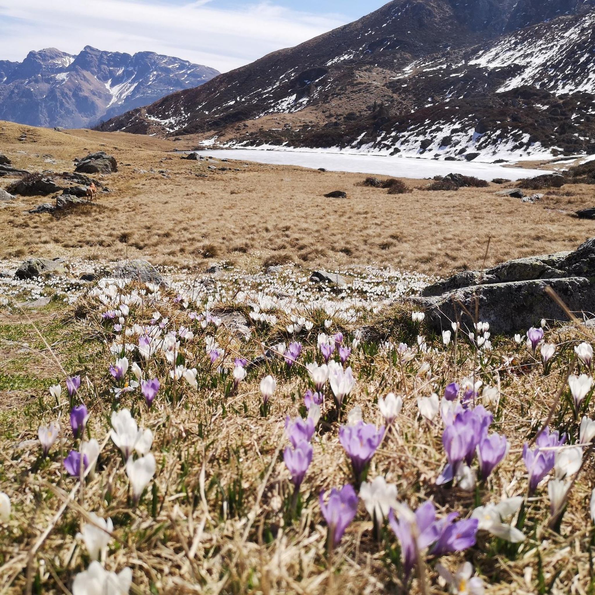
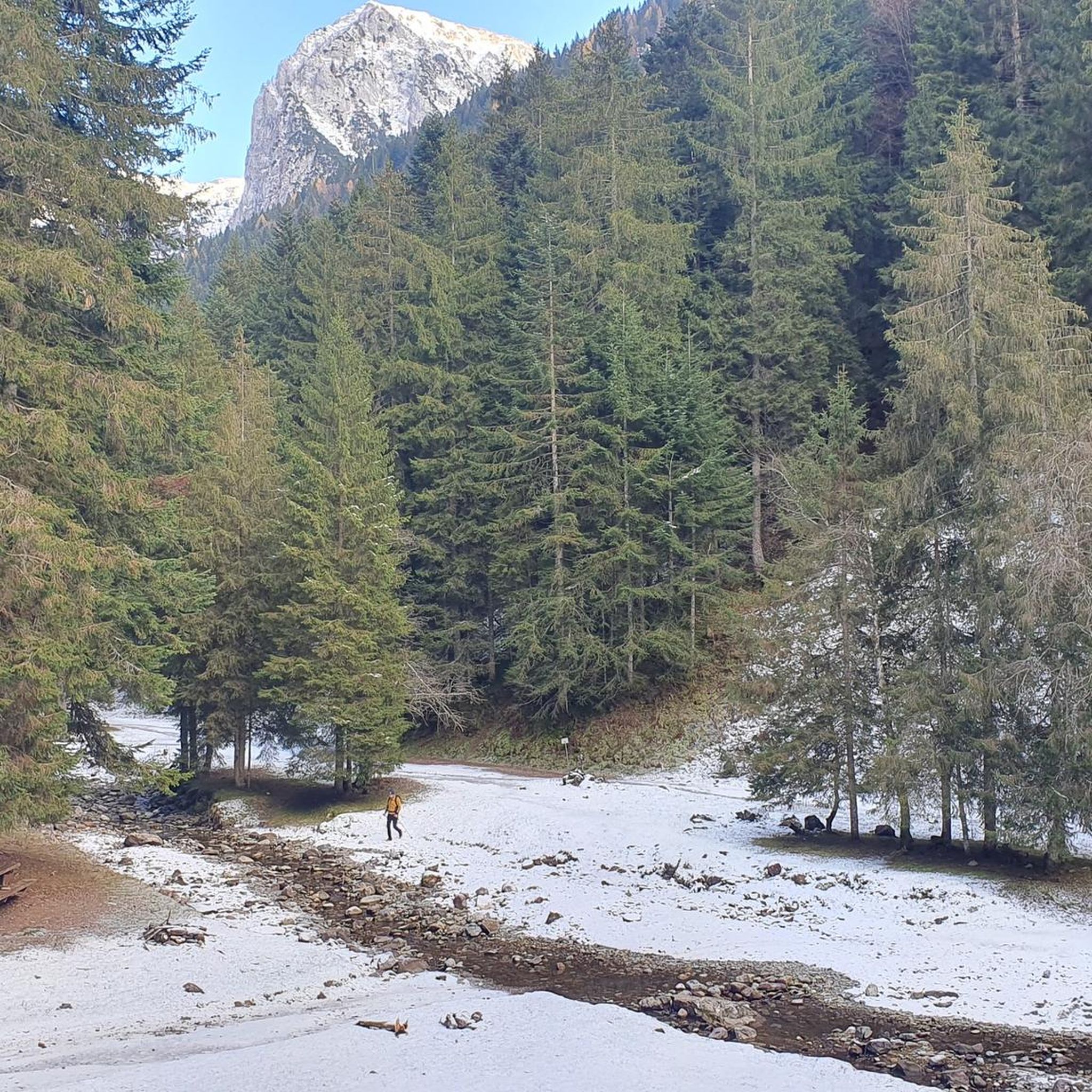
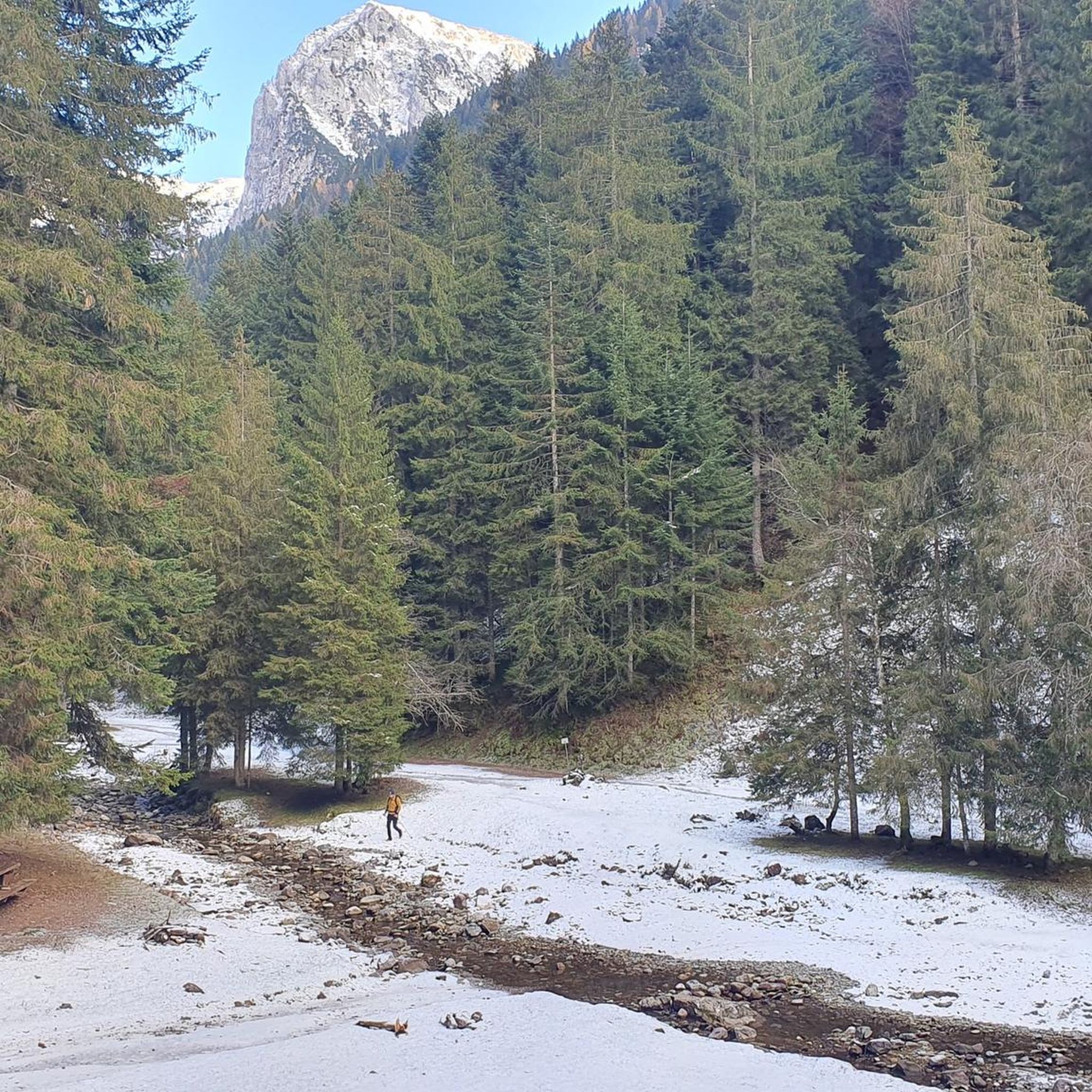
Hiking around Gandellino, situated at 675 meters above sea level within Italy's Val Seriana, offers diverse terrain for outdoor enthusiasts. The region is characterized by dense forests, green meadows, and alpine peaks of the Bergamasque Alps. It features several serene alpine lakes and the Serio River flowing through its valleys. This area provides a range of hiking experiences, from valley walks to mountain ascents.
Best hiking trails around Gandellino
- The most popular hiking route is High Route of the Graces…
Last updated: May 10, 2026
4.7
(54)
349
hikers
14.0km
05:57
970m
970m
Hike the difficult 8.7-mile High Route of the Graces - Stage 7, gaining 3174 feet through Val Sedornia to Lago Spigorel.
4.7
(44)
325
hikers
12.4km
05:07
830m
830m
Hard hike. Very good fitness required. Mostly accessible paths. Sure-footedness required.

Sign up for free
3.0
(1)
8
hikers
6.66km
03:42
780m
780m
Alpine trail through Cardeto basin connecting three mountain lakes with cascading waterfalls.
4.6
(45)
220
hikers
16.9km
06:50
1,060m
1,060m
Hard hike. Very good fitness required. Mostly accessible paths. Sure-footedness required.
4.8
(21)
123
hikers
18.8km
08:23
1,320m
1,320m
Hard hike. Very good fitness required. Sure-footedness, sturdy shoes and alpine experience required.
Get access to more routes and recommendations from other explorers.
Sign up for free
Already have an account?
Our route recommendations are based on thousands of hikes, rides, and runs completed by other people on komoot.
Start today with a free account
Your next adventure awaits.
Login or Signup


Other adventures around Gandellino

Tips from the Community

The Chapel of San Carlo, located as you ascend from the Tezzi Alti of Gandellino toward the Sedornia Valley, is a small Alpine place of devotion dedicated to Saint Charles Borromeo, a saint widely venerated throughout Lombardy. Its origins are linked to popular tradition and the widespread presence of the Borromean cult in the Bergamo valleys, especially between the 17th and 18th centuries, when many rural communities erected chapels and votive stones to ask for protection from disease, famine, and natural disasters. The chapel is located along an ancient path connecting the Tezzi hamlets and the Sedornia pastures: a necessary passageway for shepherds, farmers, and travelers. For this reason, the local community chose to erect a small, simple, stone sacred building here as a sign of protection for those tackling the climb to the mountain pastures. Its location, slightly raised from the trail and overlooking the Sedornia stream, recalls the typical function of Alpine votive chapels: to bless the path and protect the valley. Over time, the chapel has become a symbol of identity for the residents of Gandellino and Tezzi. It is still carefully maintained today and is part of local cultural itineraries, as evidenced by tourist itineraries that include it among the area's historical points of interest.
0
0
The Spiazzi dell'Acqua Picnic Area is one of the most peaceful and pleasant spots in the Gandellino area, surrounded by greenery and perfect for a relaxing break before or after a hike. Located in an easily accessible clearing, it offers tables, natural shade, and a cool atmosphere thanks to the proximity to the water. It's a simple yet meticulously maintained spot, ideal for families, groups, or anyone looking to enjoy a quiet moment in nature. Its secluded location and wooded setting make it a small haven of peace, convenient to reach yet far from the noise.
0
0
The Baita di Mezzo in Vigna Vaga is one of the most evocative spots in the Sedornia Valley: a stone hut nestled in the pastures, with a small shelter and a nearby water source. Directly in front of the hut, on a grassy knoll overlooking the valley below, are the Tre Croci, simple wooden crosses that form one of the most recognizable symbols of Sedornia. Together, they create a truly atmospheric place: quiet, panoramic, and perfect for a contemplative break before continuing toward the upper pastures. It is one of the most iconic spots in the entire valley, where nature, history, and tranquility harmoniously meet.
0
0
The erratic boulder, a reddish-purple Verrucano parallelepiped, has a volume of approximately 20 m3 and protrudes approximately 130 cm from the ground. The east and west walls have detached from the boulder due to weathering, rotating slightly outward and reveal the outline of steps carved to facilitate access to the boulder. The upper part, slightly concave and sloping toward the valley, features several incisions, cup marks, and channels, roughly crafted but arranged with a certain symmetry: they are distributed mainly along three parallel lines. The north-facing face also displays a series of cup-marked incisions arranged in an oblique line. The shape and distribution of these incisions are such that they cannot be considered natural in origin. This altar boulder was presumably a sacred place of the ancient priests, the Celtic Druids. Perhaps a place of sacrifice. According to studies conducted here and elsewhere in the Alps, it is believed that the altar stone was used for sacred rites between the third and first millennium BC. In reality, the sacredness of this place extends beyond prehistory. The name "Sedornia" is a transformation of the Roman name "Sáturnia," thus another religious element, the god Saturn, god of nature, prosperity, and abundance.
0
0
the three crosses near the Vaga di Mezzo vineyard hut
0
0
This is a carved wooden sculpture, typical of Alpine craftsmanship.
0
0
This is a carved wooden sculpture, typical of Alpine craftsmanship.
0
0
Lake Spigorel is a small alpine lake in the Sedornia Valley, accessible from Tezzi Alti (Gandellino) via CAI trail 309. It is a popular destination for its wild location between Monte Barbarossa and Vigna Vaga. 🚶♂️ Route from Tezzi Alti Key details Start: Tezzi Alti (969 m) Arrival: Lake Spigorel (approximately 1,800 m) Difficulty: Hiking (E) Duration: Outward journey: ~3 hours Return journey: ~2 hours Elevation gain: ~830 m General route outline Take the forest road of the Sedornia Valley. Pass by the Chapel of San Carlo (1,163 m). Continue through woods and pastures to the Vigna Vaga huts. The final stretch climbs steeply toward the lake basin. ⭐ Why go there Wild and untouched environment. Excellent viewpoint over the Sedornia Valley. Option to continue toward Sponda Vaga or Rifugio Mirtillo for longer itineraries.
0
0
Frequently Asked Questions
How many hiking trails are available around Gandellino?
Gandellino offers a diverse network of nearly 30 hiking trails. These routes range from easy walks through forests and meadows to challenging alpine ascents, catering to various fitness levels.
What kind of hiking difficulty can I expect in Gandellino?
The trails around Gandellino offer a wide range of difficulties. You'll find easy paths suitable for all skill levels, moderate hikes requiring good fitness, and challenging expeditions demanding very good fitness and alpine experience. There are 4 easy, 8 moderate, and 16 difficult routes available.
Are there any trails that feature waterfalls in Gandellino?
Yes, the area features trails with waterfalls. A notable option is the Cardeto Waterfalls Trail (via Route 261), which leads through varied landscapes and offers views of cascades.
What are some of the most scenic natural attractions to see while hiking in Gandellino?
Gandellino is rich in natural beauty. Hikers can explore stunning alpine lakes like Gleno Dam and Lake, the Barbellino Reservoir, and Lago Spigorel, which is an oasis of nature. The Val Sedornia also offers picturesque landscapes, and the Serio River features scenic spots like the 'Baia Delle Fate' and the 'Gorgoi'.
Are there any circular hiking routes in Gandellino?
Yes, Gandellino offers several circular routes. For example, you can find loops around Lake Spigorel, such as the Baita di Mezzo di Vigna Vaga – Lake Spigorel loop from Gandellino or the Lake Spigorel – Baita di Mezzo di Vigna Vaga loop from Gandellino. There are also easier circular paths, like one from the Bondo bridge along a cycle path leading to the 'Baia Delle Fate'.
What do other hikers enjoy most about hiking in Gandellino?
The area is highly rated by the komoot community, with an average score of 4.5 stars from over 3900 reviews. Hikers often praise the diverse terrain, from dense forests to majestic alpine peaks, and the presence of serene alpine lakes. The well-maintained paths and the variety of routes for different skill levels are also frequently highlighted.
Are there mountain huts available for hikers in the Gandellino area?
Yes, the region provides welcoming mountain huts for hikers. Notable examples include the Antonio Curò Mountain Hut, which serves as a starting point for ascents into the Orobie mountains, and the Laghi Gemelli Mountain Hut, located on the shores of Laghi Gemelli and offering traditional local cuisine. These huts provide rest, food, and overnight stays.
What is the best time of year to go hiking in Gandellino?
The best time for hiking in Gandellino is generally from spring through autumn. During these seasons, the weather is more favorable, and the trails are typically clear of snow, allowing access to the diverse landscapes, alpine lakes, and mountain peaks. Summer often sees organized trekking with guides in areas like Val Sedornia.
Can I find any historical or cultural landmarks along the hiking trails?
Yes, Gandellino's trails offer glimpses into the region's history and culture. You can discover ancient rural villages like Tezzi, Foppi, and Gromo San Marino, featuring rustic buildings, cobbled mule tracks, and historic churches. The ruins of the Gleno Dam are also a significant historical site and a unique hiking destination.
Are there any trails that lead to panoramic viewpoints in Gandellino?
Many trails in Gandellino offer spectacular panoramic views. Natural viewpoints like the 'Terrazza del Ragno' (Spider's Terrace) provide breathtaking vistas of the entire Gandellino territory. Additionally, routes often present views of Gromo and the north face of Monte Secco, allowing hikers to appreciate the majestic Bergamasque Alps.
What are some of the longer, more challenging hikes in the region?
For experienced hikers seeking a challenge, Gandellino offers several demanding routes. The High Route of the Graces - Stage 7 is a difficult 8.7-mile trail traversing alpine terrain. Another challenging option is Gandellino to Lake Spigorel, a difficult 7.7-mile path leading to the scenic Lago Spigorel.
Are there opportunities for wild swimming after a hike in Gandellino?
While specific designated wild swimming spots are not highlighted, the Serio River flows through the valley, and the region is known for its alpine lakes. Some areas along the river, like the 'Baia Delle Fate,' offer enchanting spots that might be suitable for a refreshing dip, depending on local regulations and conditions.
Most popular attractions around Gandellino

Get inspired with the komoot mobile app


Explore more
Browse the best Hikes in other regions.
