The best running trails around Altopiano Della Vigolana
4.5
(10)
349
runners
34
runs
Jogging around Altopiano Della Vigolana offers diverse terrain, from wide meadows to dense forests of fir, beech, pine, and larch trees. The region is situated between the Vigolana and Marzola mountain massifs, providing panoramic views of Lake Caldonazzo, the Valsugana valley, and the Adige Valley. Its extensive network of trails winds through varied landscapes, making it suitable for different running preferences.
Best jogging routes around Altopiano Della Vigolana
- The most popular jogging route is Lake Caldonazzo – Lake Caldonazzo loop from Bosentino, a 6.7 miles (10.9 km) trail that takes 1 hour 16 minutes to complete. This difficult route offers panoramic views of Lake Caldonazzo.
- Another top favourite among local runners is Maranza Hut loop from Vigolo Vattaro, a difficult 6.8 miles (11.0 km) path. This route winds through forests and provides views of the surrounding mountain massifs.
- Local runners also love the Ascent With Valley View – View of the Centa Valley loop from Centa San Nicolò, a 7.6 miles (12.2 km) trail leading through diverse terrain with views of the Centa Valley, often completed in about 1 hour 27 minutes.
- Jogging around Altopiano Della Vigolana is defined by diverse terrain, dense forests, and panoramic views of valleys and lakes. The network offers options for various ability levels, from moderate paths to more challenging trails.
- The routes in Altopiano Della Vigolana are highly rated by the komoot community with an average score of 4.5 stars from over 10 reviews. More than 370 runners have used komoot to explore Altopiano Della Vigolana's varied terrain.
Last updated: June 27, 2026
48
runners
16.7km
02:36
930m
930m
Hard run. Very good fitness required. Sure-footedness, sturdy shoes and alpine experience required.
27
runners
10.9km
01:16
310m
310m
Hard run. Very good fitness required. Mostly paved surfaces. Suitable for all skill levels.

Sign up for free
24
runners
15.1km
01:58
470m
470m
Hard run. Very good fitness required. Sure-footedness, sturdy shoes and alpine experience required.
17
runners
11.0km
01:30
470m
470m
Hard run. Very good fitness required. Sure-footedness, sturdy shoes and alpine experience required.
15
runners
11.8km
01:42
440m
440m
Hard run. Very good fitness required. Sure-footedness, sturdy shoes and alpine experience required.
Get access to more routes and recommendations from other explorers.
Sign up for free
Already have an account?
Our route recommendations are based on thousands of hikes, rides, and runs completed by other people on komoot.
Start today with a free account
Your next adventure awaits.
Login or Signup
Popular around Altopiano Della Vigolana
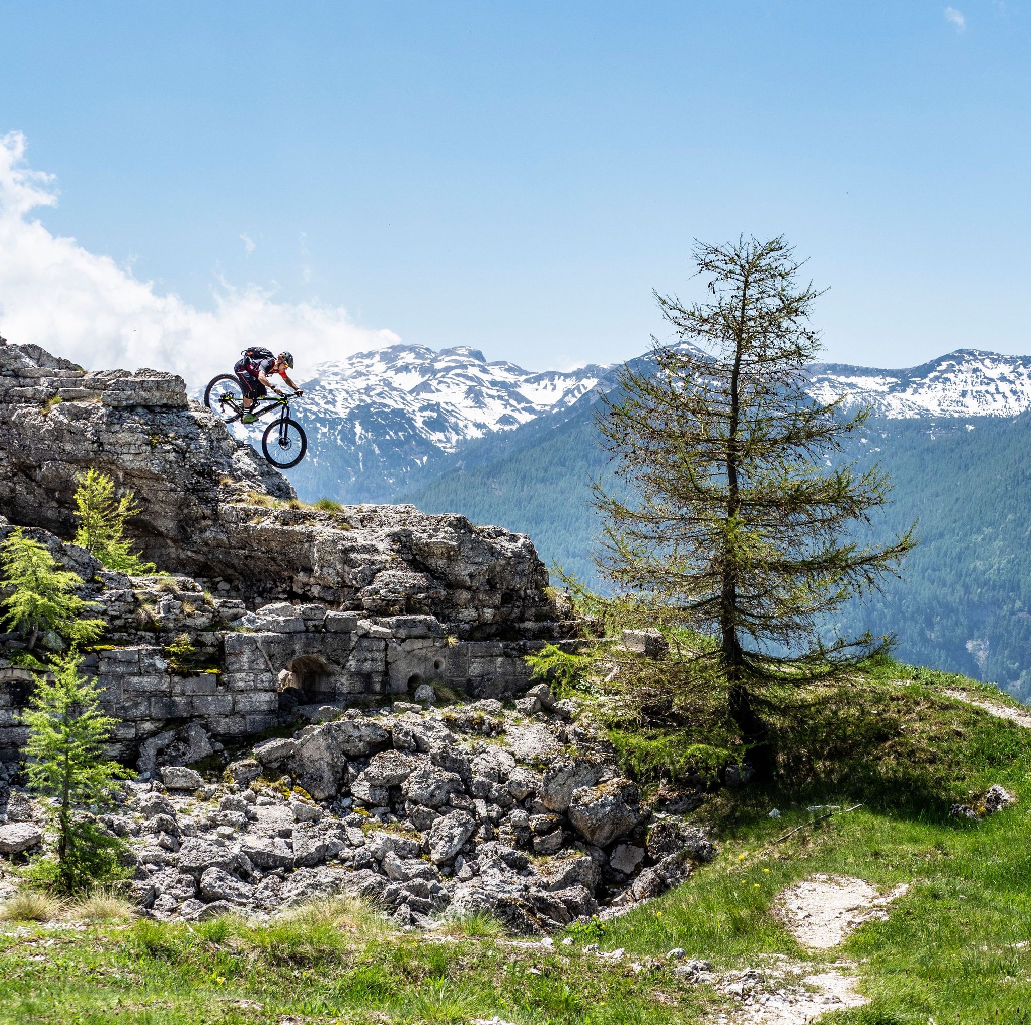
Free your energy! The mountain bike routes of Alpe Cimbra
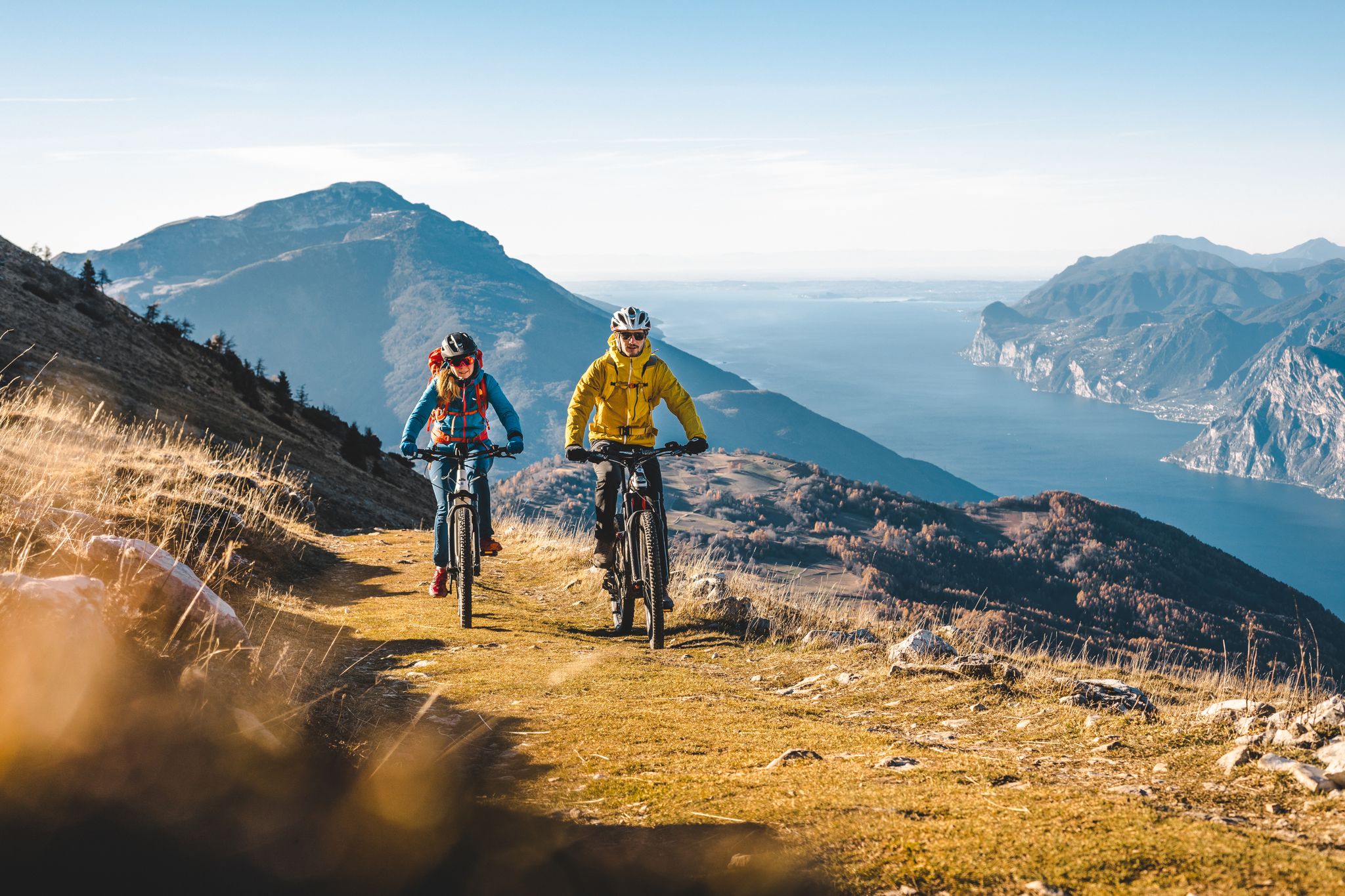
Mountain biking in Trentino in Italy – 10 varied routes
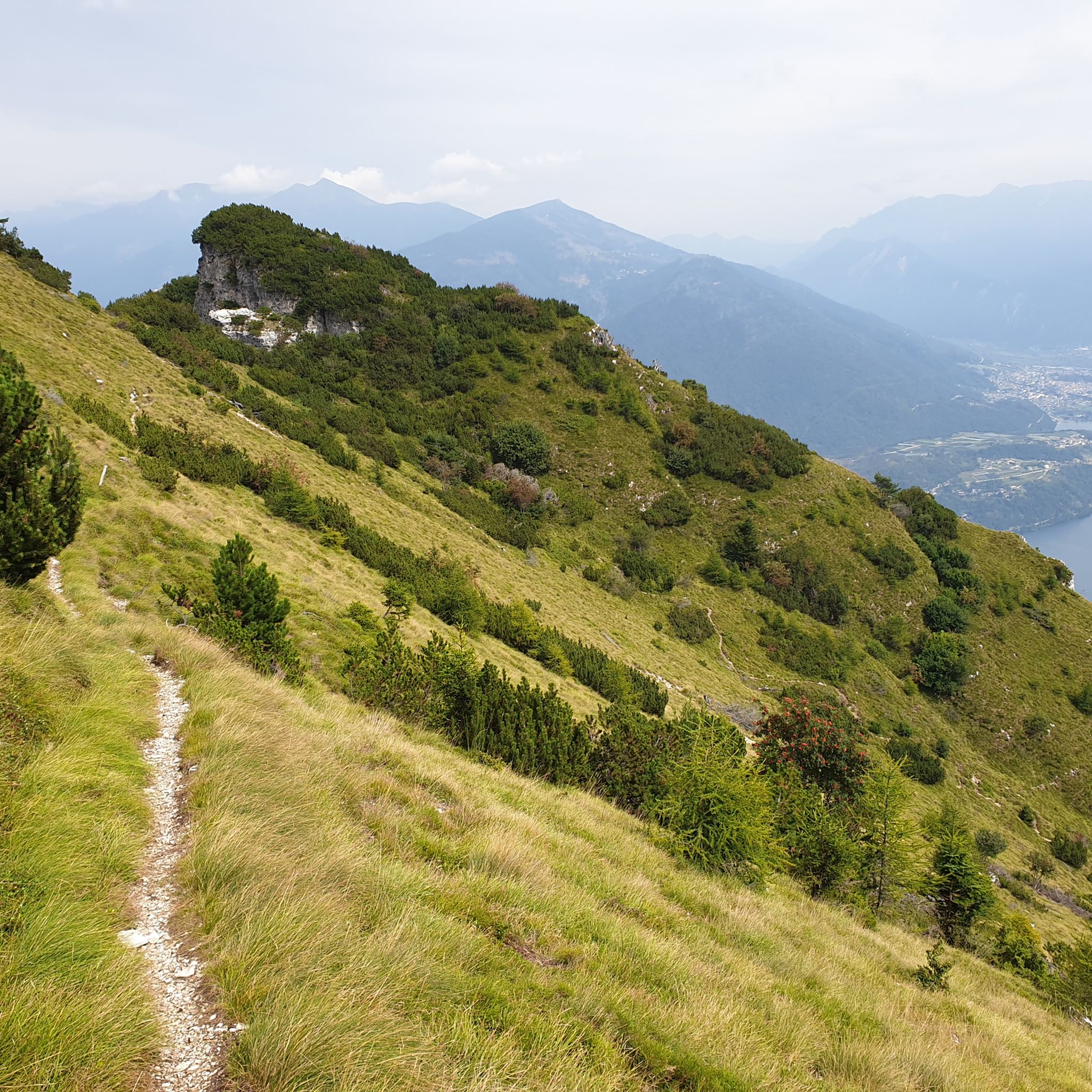
Hiking around Altopiano Della Vigolana
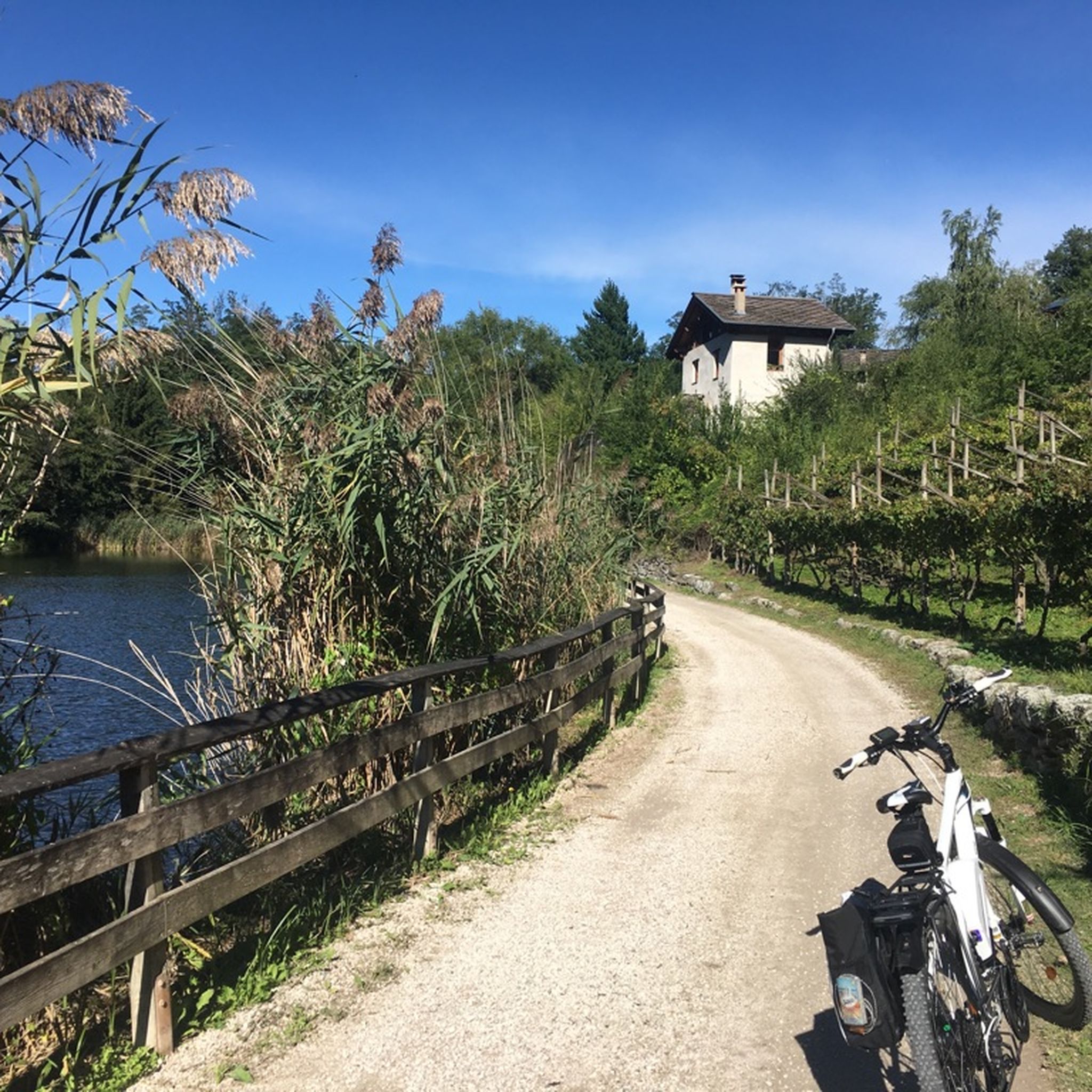
Cycling around Altopiano Della Vigolana
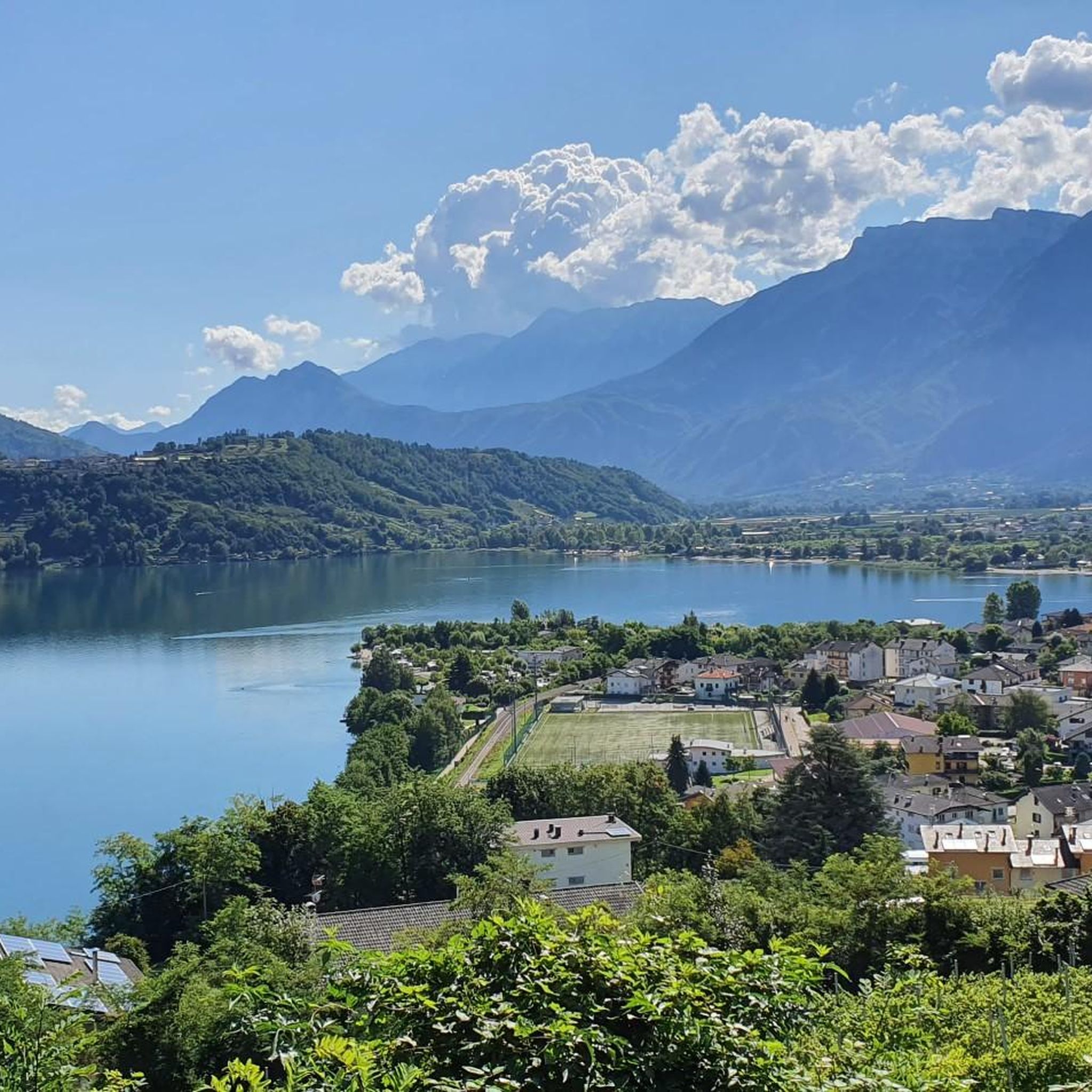
Road Cycling Routes around Altopiano Della Vigolana

Gravel biking around Altopiano Della Vigolana
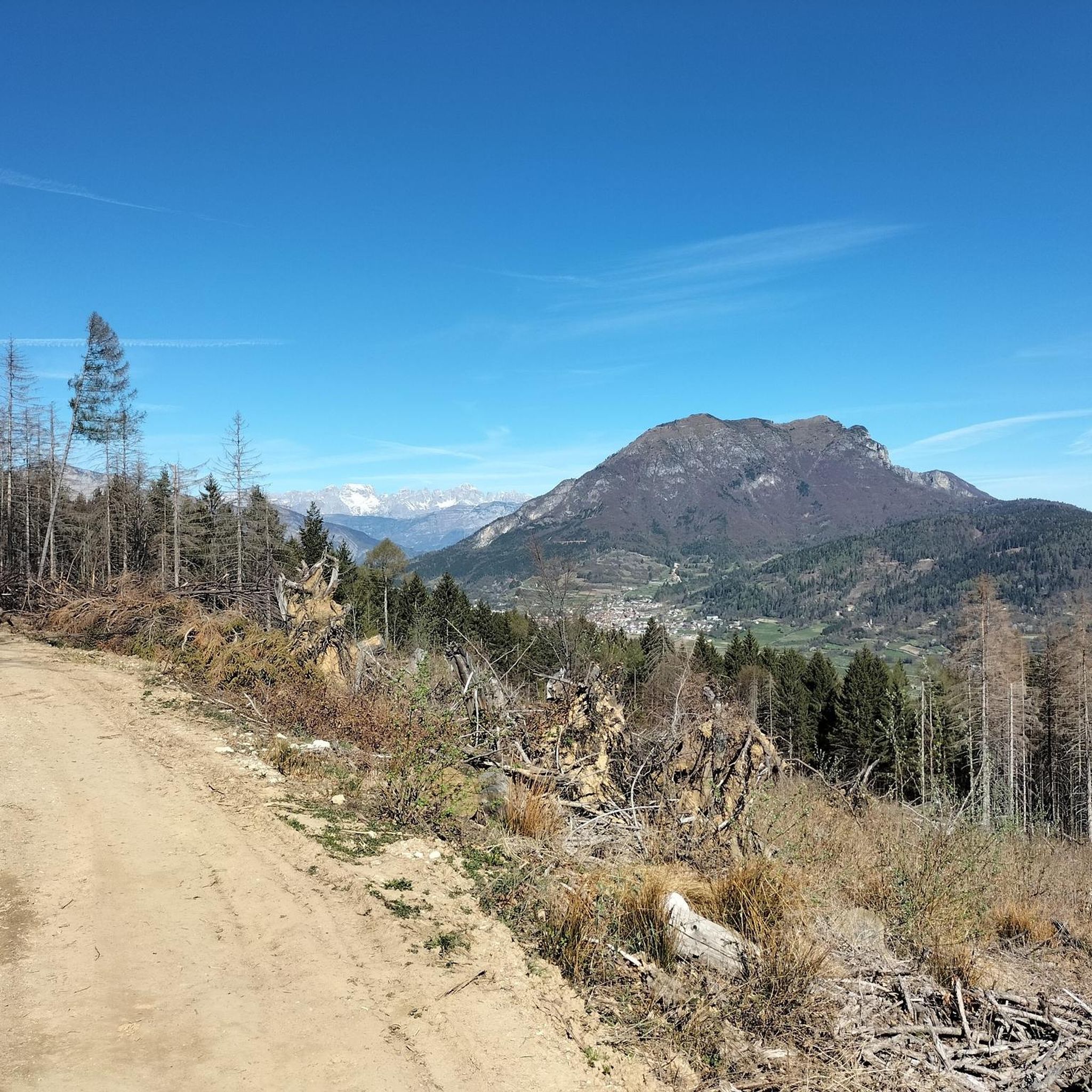
MTB Trails around Altopiano Della Vigolana

Mountain Hikes around Altopiano Della Vigolana


Tips from the Community

A place that always invites you to stop and admire the beauty of the lake and the surrounding environment, and that invites you to take a photo.
0
0
The road leading up to the Maranza refuge and the views offered
0
0
Panoramic viewpoint reached by a nice and rideable road
0
0
The largest lake in Trentino, if you disregard the northern part of Lake Garda
0
0
Small and green beach with a beautiful view of the lake
0
0
The old and steep road to climb to Bosentino
0
0
Pier where a stop with a photo is a must
0
0
Superb landscape, worth stopping for photos
0
0
Frequently Asked Questions
How many running routes are available in Altopiano Della Vigolana?
Altopiano Della Vigolana offers a diverse network of over 30 running routes. These trails wind through varied landscapes, providing options for different preferences and fitness levels.
What kind of terrain can I expect on the jogging routes in Altopiano Della Vigolana?
Runners in Altopiano Della Vigolana can expect a variety of terrains, from wide meadows to dense forests of fir, beech, pine, and larch trees. The region is situated between the Vigolana and Marzola mountain massifs, offering a blend of alpine and lake scenery.
Are there running routes suitable for beginners or less experienced runners?
Yes, while many routes are challenging, there are 11 moderate running trails available. For example, the Running loop from Vattaro is a moderate 11.4 km path that offers a great experience without extreme difficulty.
Which running routes offer the best panoramic views?
Many routes provide stunning vistas. For breathtaking views of Lake Caldonazzo, consider the difficult Lake Caldonazzo – Lake Caldonazzo loop from Bosentino. Another excellent option for valley views is the difficult Ascent With Valley View – View of the Centa Valley loop from Centa San Nicolò, which offers diverse terrain and views of the Centa Valley.
Can I find circular running routes in Altopiano Della Vigolana?
Yes, circular routes are a popular feature in the area. The region is known for its extensive network of trails, including the longer 'Giro della Vigolana' which allows runners to explore diverse landscapes. Shorter circular options are also available, such as the Gravel Segment – View of Lake Caldonazzo loop from Vattaro.
Are there any historical sites or landmarks I can see while running?
Absolutely. The Altopiano Della Vigolana region is rich in history. You might pass by ancient sites like Castel Vigolo or the Madonna del Feles sanctuary. For those interested in historical fortifications, nearby attractions include Pergine Castle or Forte Dosso delle Somme, which can be incorporated into your running plans.
What do other runners enjoy the most about jogging in Altopiano Della Vigolana?
The area is highly rated by the komoot community, with an average score of 4.5 stars from over 10 reviews. Runners often praise the diverse terrain, from wide meadows to dense forests, and the stunning panoramic views of Lake Caldonazzo, the Valsugana valley, and the Adige Valley.
Is it possible to combine a run with a visit to a mountain hut?
Yes, several running routes pass by or lead to charming mountain huts. For instance, the difficult Maranza Hut loop from Vigolo Vattaro takes you near Maranza Hut. Other huts in the vicinity include Casarota Mountain Hut and Stella d’Italia Hut, offering great spots for a break.
What is the best time of year for running in Altopiano Della Vigolana?
Altopiano Della Vigolana benefits from a mild climate, making it pleasant for outdoor pursuits throughout much of the year. Late spring to summer is particularly vibrant, with mountain flowers like cyclamens and rhododendrons in bloom, enhancing the natural beauty of the trails.
Are there any dog-friendly running trails in the Altopiano Della Vigolana area?
Many trails in Altopiano Della Vigolana are suitable for running with dogs, provided they are kept under control and local regulations are followed. The extensive network of paths through forests and meadows offers plenty of space for you and your canine companion to enjoy the natural surroundings.
Are there any permits required for jogging on the trails?
Generally, no specific permits are required for jogging on the public trails in Altopiano Della Vigolana. However, it's always advisable to respect local signage, especially in protected areas or private lands, and to be mindful of other trail users.
Where can I find parking near the running trailheads?
Parking is typically available in the villages and near popular trailheads throughout Altopiano Della Vigolana. Specific parking information can often be found on local tourism websites or detailed route descriptions. For example, routes starting from Bosentino, Vigolo Vattaro, and Centa San Nicolò usually have accessible parking options.
Most popular routes around Altopiano Della Vigolana
Most popular attractions around Altopiano Della Vigolana

Get inspired with the komoot mobile app


Explore more
Browse the best Running Trails & Routes in other regions.
