The best gravel rides around Altopiano Della Vigolana
4.5
(268)
2,242
riders
107
rides
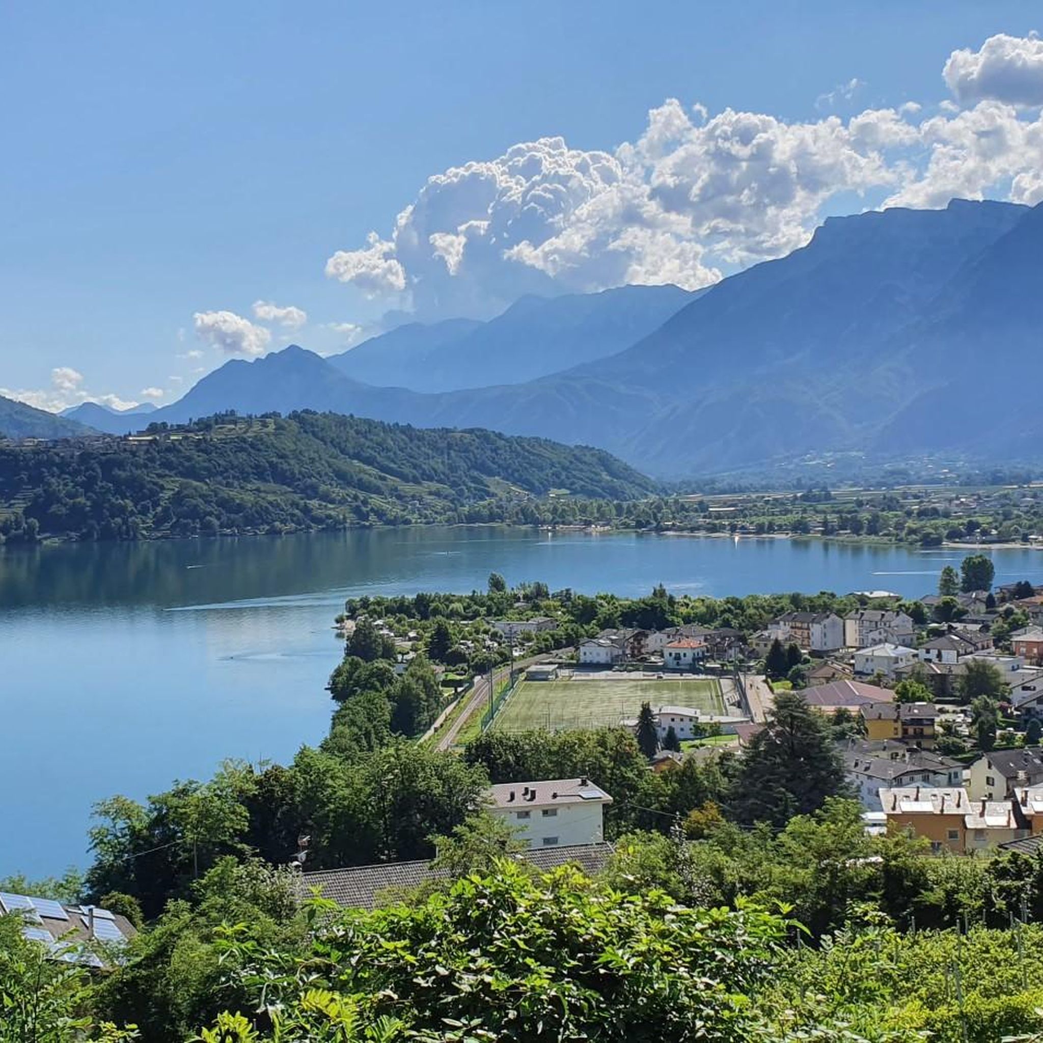
Gravel biking around Altopiano Della Vigolana offers a diverse terrain situated between the Vigolana and Marzola massifs in Trentino, Italy. The region features a network of compact gravel roads and mixed-surface climbs. Riders encounter extensive forests of conifers and beech trees, expansive meadows, and cultivated areas. Panoramic views of Lake Caldonazzo, the Valsugana valley, and the Valle dell'Adige are common along the routes.
Best gravel bike trails around Altopiano Della Vigolana
- The most popular gravel bike trail is View of Fondo Grande – Forte Cherle loop from Folgaria, a 33.8 miles (54.4 km) trail that takes 5 hours 3 minutes to complete. This difficult route offers extensive views across varied landscapes.
- Another top favourite among local gravel bikers is Lake Levico – Lake Levico loop from Centa San Nicolò, a difficult 28.0 miles (45.1 km) path. This route provides scenic views around Lake Levico.
- Local gravel bikers also love the Lake Levico – Forte di Tenna loop from Caldonazzo, a 9.3 miles (15.0 km) trail leading through lakeside scenery, often completed in about 1 hour 3 minutes.
- Gravel biking around Altopiano Della Vigolana is defined by extensive forests, open meadows, and panoramic views of lakes and valleys. The network offers options for different ability levels, from moderate loops to challenging long-distance routes.
- The routes in Altopiano Della Vigolana are highly rated by the komoot community with an average score of 4.6 stars from more than 200 reviews. More than 2000 gravel bikers have used komoot to explore Altopiano Della Vigolana's varied terrain.
Last updated: August 31, 2026
5.0
(1)
19
riders
54.2km
05:03
1,570m
1,570m
Hard gravel ride. Very good fitness required. You may need to push your bike for some segments of this route.
4.6
(19)
156
riders
46.1km
03:25
1,220m
1,220m
Hard gravel ride. Very good fitness required. Mostly paved surfaces. Suitable for all skill levels.

Sign up for free
4.7
(15)
131
riders
49.6km
03:56
1,590m
1,590m
Hard gravel ride. Very good fitness required. Mostly paved surfaces. Suitable for all skill levels.
4.8
(4)
55
riders
37.8km
03:05
1,220m
1,220m
Hard gravel ride. Very good fitness required. Mostly paved surfaces. Suitable for all skill levels.
4.8
(6)
44
riders
32.7km
02:44
1,060m
1,060m
Hard gravel ride. Very good fitness required. Mostly paved surfaces. Suitable for all skill levels.
Get access to more routes and recommendations from other explorers.
Sign up for free
Already have an account?
Our route recommendations are based on thousands of hikes, rides, and runs completed by other people on komoot.
Start today with a free account
Your next adventure awaits.
Login or Signup
Popular around Altopiano Della Vigolana
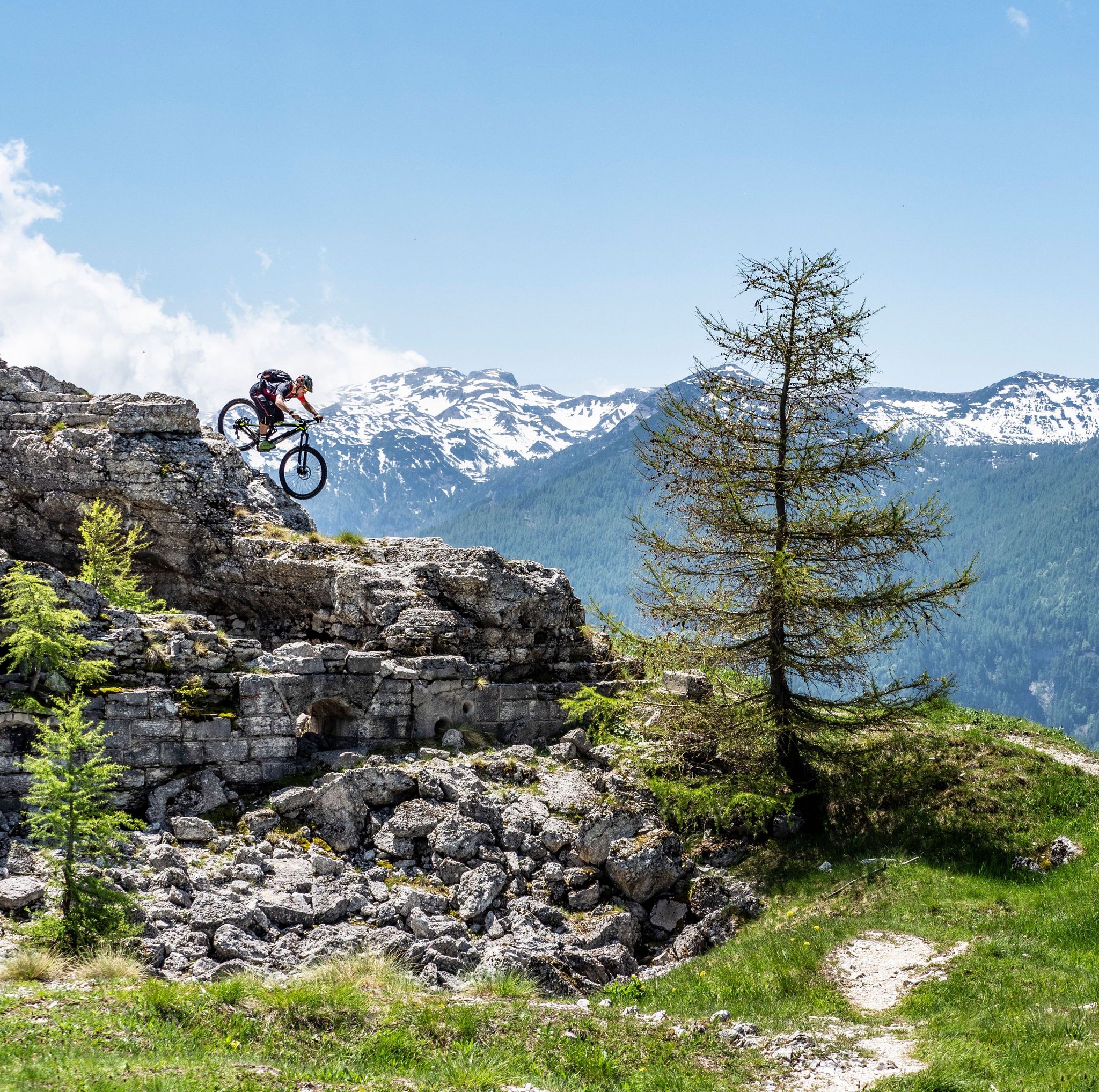
Free your energy! The mountain bike routes of Alpe Cimbra
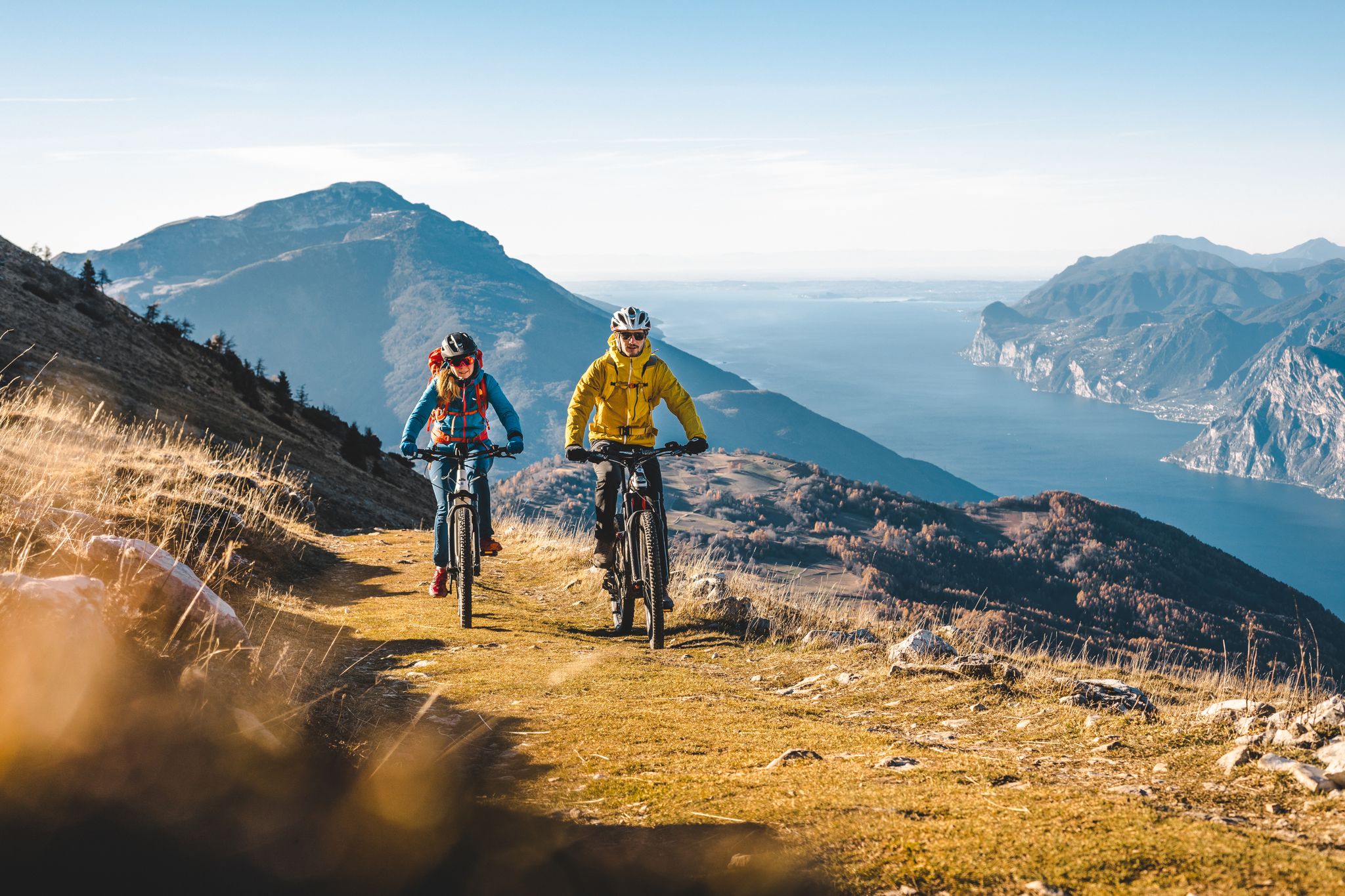
Mountain biking in Trentino in Italy – 10 varied routes
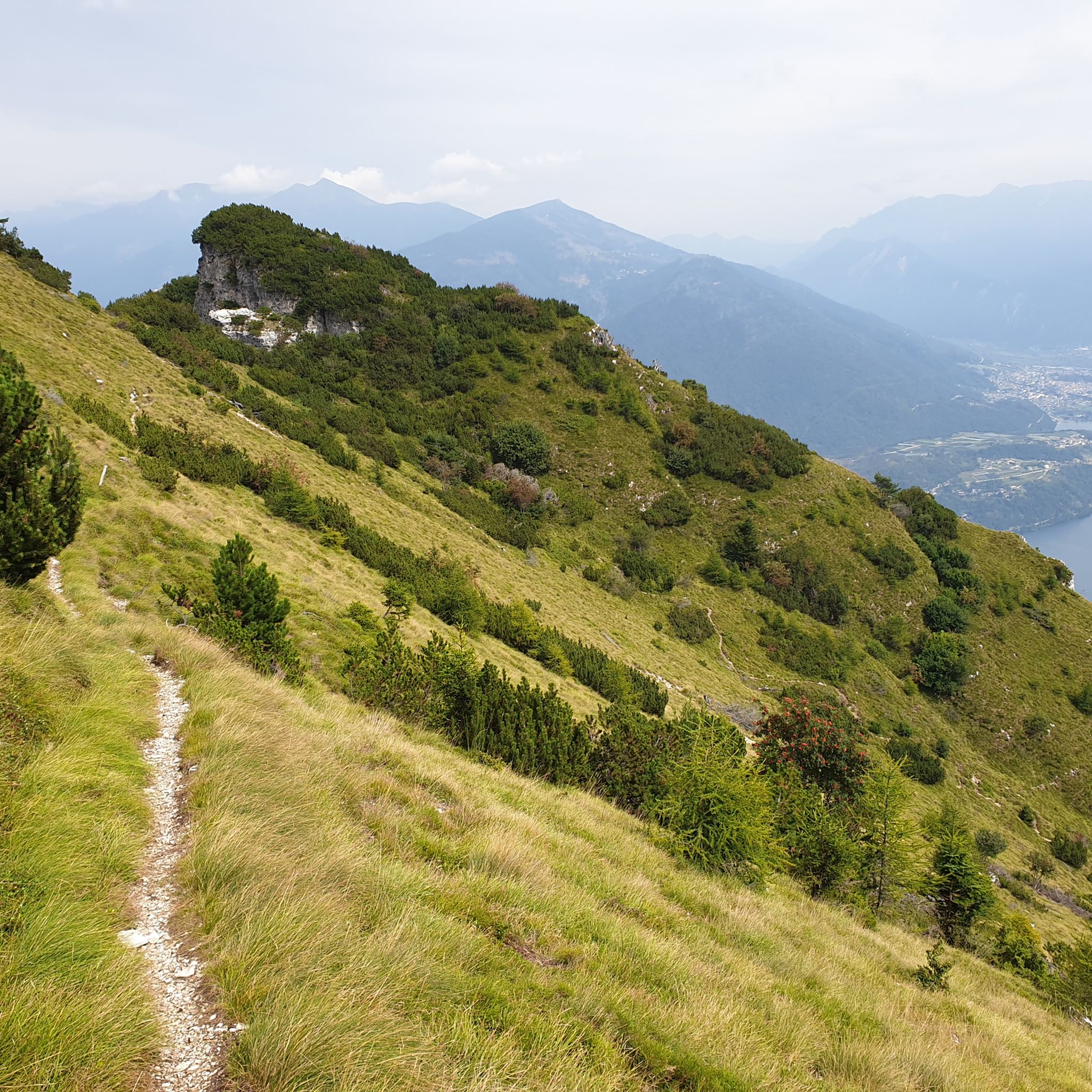
Hiking around Altopiano Della Vigolana
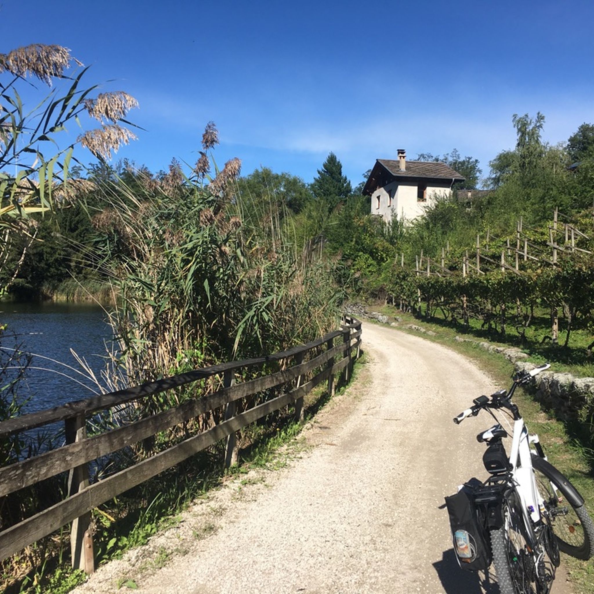
Cycling around Altopiano Della Vigolana
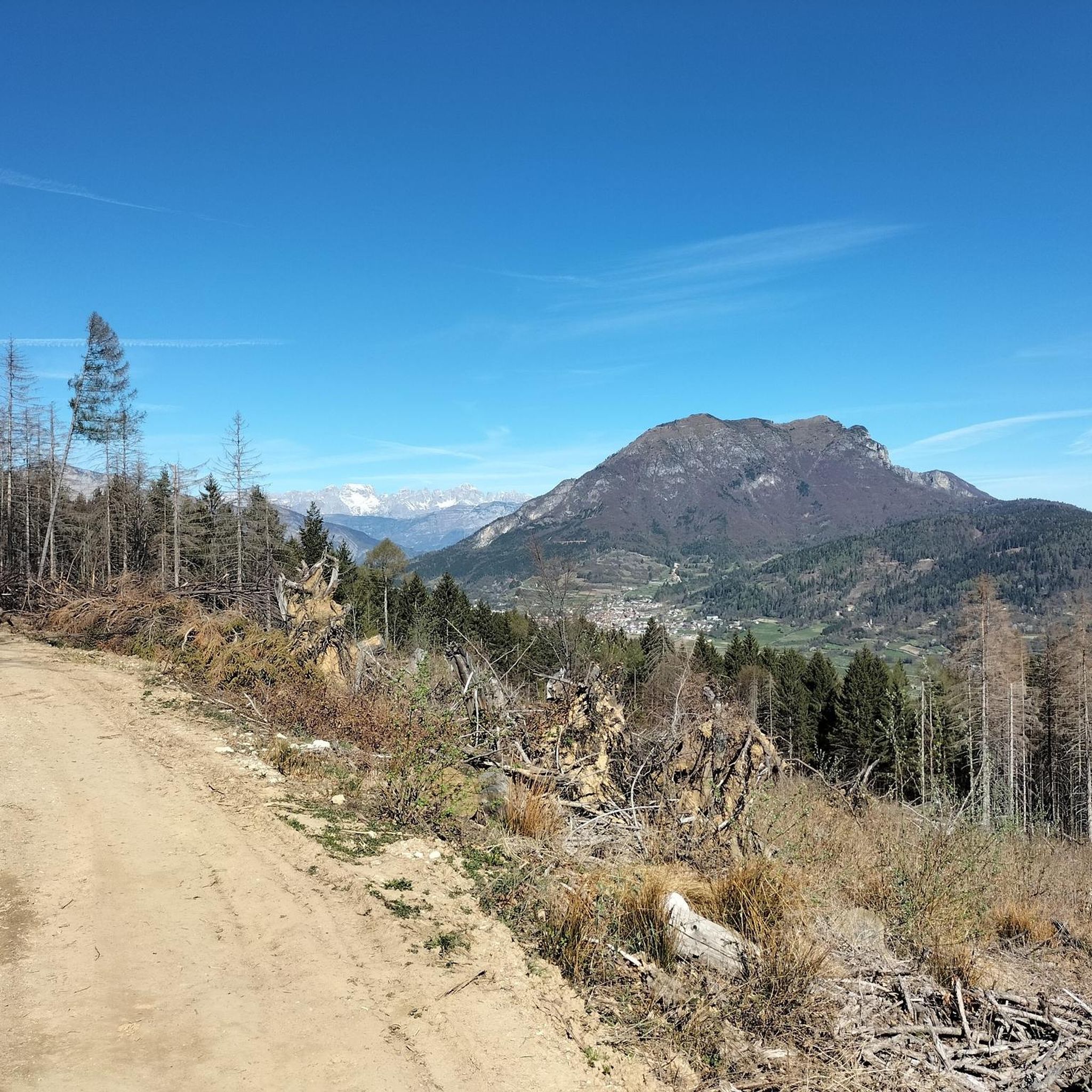
Road Cycling Routes around Altopiano Della Vigolana
Running Trails around Altopiano Della Vigolana
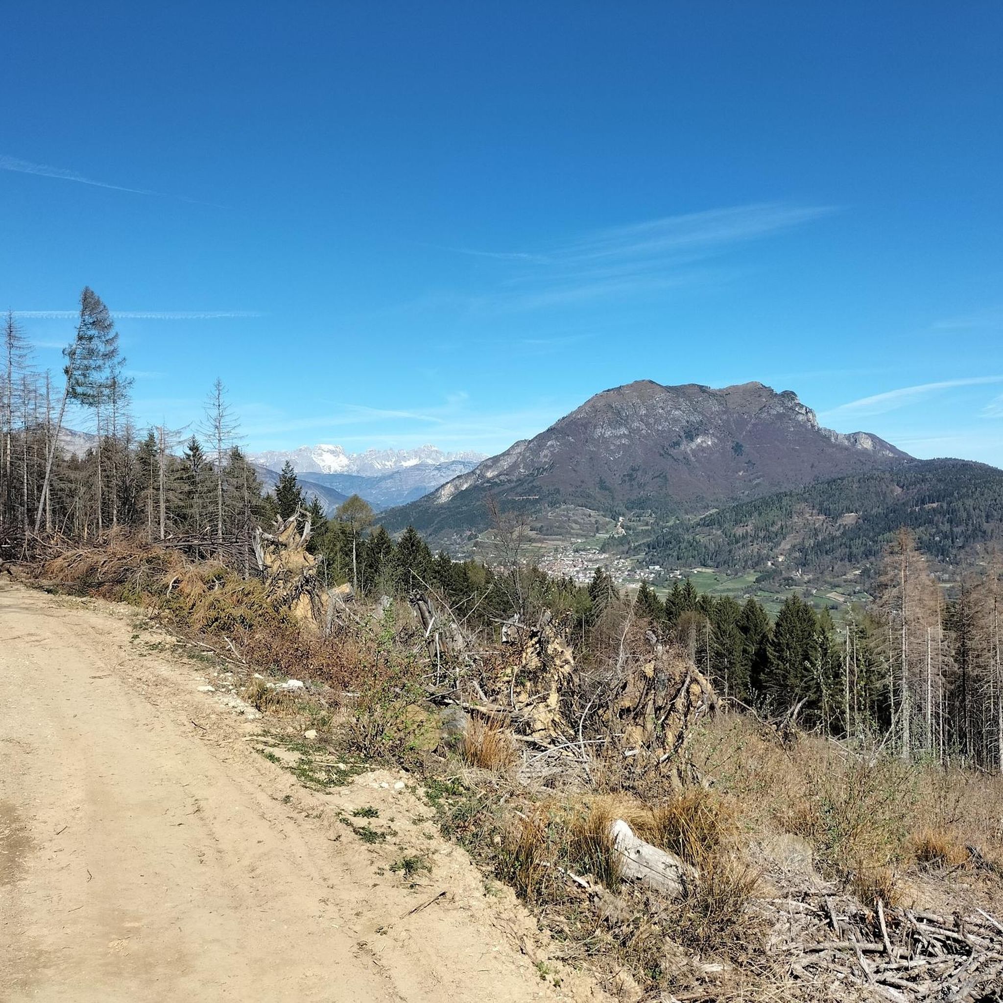
MTB Trails around Altopiano Della Vigolana

Mountain Hikes around Altopiano Della Vigolana


Tips from the Community

We didn't go in, but it still looks very welcoming. Coming from above, I liked the work done along the path to enhance the area in summer: there are games for children and more.
1
0

Closed until the end of 2026 for all traffic
0
0

Attention: the Kaiserjägerstraße is closed to all traffic from June to October. Heavy work is being carried out and the road is therefore blocked. I just had the experience.
2
0

Very suggestive place after the Coe pass
0
0

Nice narrow cycle path, good asphalt. Normal pace is recommended, as the stream has to be crossed via small bridges and the curves behind the bridges are blind and narrow. Beautiful scenery to ride through!
0
0
Well-developed road in good condition, which climbs up the mountain from Levico. Long sections between the hairpin bends in full sun do not make this climb exactly easy. Only the lower part is shady. The curves are mostly well visible, and due to the large road width, I find the road relatively safe as a cyclist. However, it may make sense to use this side as a descent.
0
0

Road closed to EVERYONE for works for 2 and a half years!
0
0

If it were possible to have the number of people who stopped at this point to admire the fabulous panorama, it would surely be hundreds of thousands.
1
0
Frequently Asked Questions
How many gravel bike trails are available in Altopiano Della Vigolana?
Altopiano Della Vigolana offers a diverse network of over 10 gravel bike trails. These routes vary in length and difficulty, providing options for different skill levels, though many are quite challenging.
What is the typical difficulty level of gravel biking routes in Altopiano Della Vigolana?
Many of the gravel biking routes in Altopiano Della Vigolana are considered difficult, requiring good to very good fitness. For example, the Old Road to Incino – Lake Corlo, near Rocca di Arsiè loop from Pian dei Pradi is a challenging 73.8-mile (118.7 km) route with significant elevation gain. However, the region also features easier sections, often on mostly paved surfaces, suitable for less experienced riders.
When is the best time of year to go gravel biking in Altopiano Della Vigolana?
The region benefits from a mild climate, making it enjoyable across various seasons. Spring and autumn are particularly recommended for gravel biking due to pleasant temperatures, vibrant colors, and the blooming of flowers like cyclamens and rhododendrons, or the opportunity to find mushrooms and chestnuts in the woods.
What kind of terrain can I expect on gravel bike trails in Altopiano Della Vigolana?
You can expect a rich mosaic of environments, including vast forests of conifers and beech trees, expansive meadows, lush vineyards, and apple orchards. The routes feature a mix of compact gravel roads and short, mixed-surface climbs, connecting mountain huts, pastures, forest lodges, fields, and small villages.
Are there any circular gravel bike routes in Altopiano Della Vigolana?
Yes, the region is known for circular routes, such as the challenging "60 km of the Vigolana" which connects the main landscape areas of the Vigolana Plateau and the Centa Valley. Another example is the Lake Levico – Lake Levico loop from Pian dei Pradi, offering a scenic circular ride around the lake.
What scenic viewpoints or natural features can I expect to see along the gravel bike trails?
Riders can enjoy breathtaking vistas of natural landmarks. These include sweeping views over Lake Caldonazzo and the Valsugana valley, as well as the Valle dell'Adige and parts of the central and eastern Alps. Specific viewpoints near Campregheri and along the climb towards Anza Rossa offer privileged perspectives of Lake Caldonazzo.
Are there any notable lakes or cycle paths connected to the gravel routes?
Absolutely. The gravel routes often connect to broader cycling networks. You can find routes that incorporate lakes like Lake Caldonazzo and Lake Levico. The Valsugana Cycle Path is also accessible, offering longer loops that extend beyond the immediate plateau, such as the Valsugana Cycle Path – Riverside landscape near Grigno loop from Vattaro.
What do other gravel bikers enjoy the most about gravel biking in Altopiano Della Vigolana?
The area is highly rated by the komoot community, with an average score of 4.5 stars from over 380 reviews. Reviewers often praise the diverse landscapes, the stunning panoramic views over lakes and valleys, and the authentic connection with nature that the routes provide. The variety of terrain, from forests to vineyards, is also frequently highlighted.
Are there options for family-friendly gravel cycling in Altopiano Della Vigolana?
While many routes are challenging, the region does offer easier bike rides, often on mostly paved surfaces, which can be suitable for families. These routes allow for a more relaxed pace to enjoy the historic villages, vineyards, and apple orchards. It's advisable to check individual route descriptions for specific difficulty ratings and terrain suitable for all family members.
What is the typical length and duration of gravel bike trails in the region?
The length and duration of gravel bike trails in Altopiano Della Vigolana vary significantly. You can find shorter loops, like the 28.7-mile (46.2 km) Lake Caldonazzo – Lake Caldonazzo loop from Pian dei Pradi, which typically takes around 3 hours and 15 minutes. Longer, more challenging routes, such as the 73.8-mile (118.7 km) Old Road to Incino – Lake Corlo, near Rocca di Arsiè loop from Pian dei Pradi, can take over 8 hours to complete.
Are there any less crowded gravel trails for a more tranquil experience?
The Altopiano Della Vigolana maintains a low degree of tourism, offering a place of "silence, simplicity, and authenticity." While specific routes aren't designated as 'less crowded,' the overall character of the region suggests that many of its gravel paths, especially those traversing forests and connecting smaller villages, provide a tranquil experience away from major tourist hubs.
Most popular routes around Altopiano Della Vigolana
Most popular attractions around Altopiano Della Vigolana

Get inspired with the komoot mobile app


Explore more
Browse the best Gravel rides in other regions.
