The best walks and hikes around Römershager Forst-Nord
4.6
(6671)
24,456
hikers
777
hikes
Hiking around Römershager Forst-Nord offers a diverse forest landscape with tranquil woodlands and rolling hills, located within Germany's Landkreis Bad Kissingen. The region provides a variety of trails catering to different fitness levels, from leisurely walks to more demanding treks. Its position within the Rhön Biosphere Reserve contributes to a rich natural environment. The area is characterized by well-maintained paths and diverse landscapes.
Best hiking trails around Römershager Forst-Nord
- The most popular hiking route is Extra tour "Der Mottener": Motten…
Last updated: June 28, 2026
4.6
(108)
399
hikers
17.1km
05:01
470m
470m
Hard hike. Very good fitness required. Mostly accessible paths. Sure-footedness required.
4.6
(50)
159
hikers
11.7km
03:26
310m
310m
Moderate hike. Good fitness required. Mostly accessible paths. Sure-footedness required.

Sign up for free
4.7
(11)
54
hikers
Moderate hike. Good fitness required. Easily-accessible paths. Suitable for all skill levels.
5.0
(41)
45
hikers
Easy hike. Great for any fitness level. Easily-accessible paths. Suitable for all skill levels.
4.5
(4)
28
hikers
11.1km
03:19
350m
340m
Moderate hike. Good fitness required. Easily-accessible paths. Suitable for all skill levels.
Get access to more routes and recommendations from other explorers.
Sign up for free
Already have an account?
Our route recommendations are based on thousands of hikes, rides, and runs completed by other people on komoot.
Start today with a free account
Your next adventure awaits.
Login or Signup

Tips from the Community

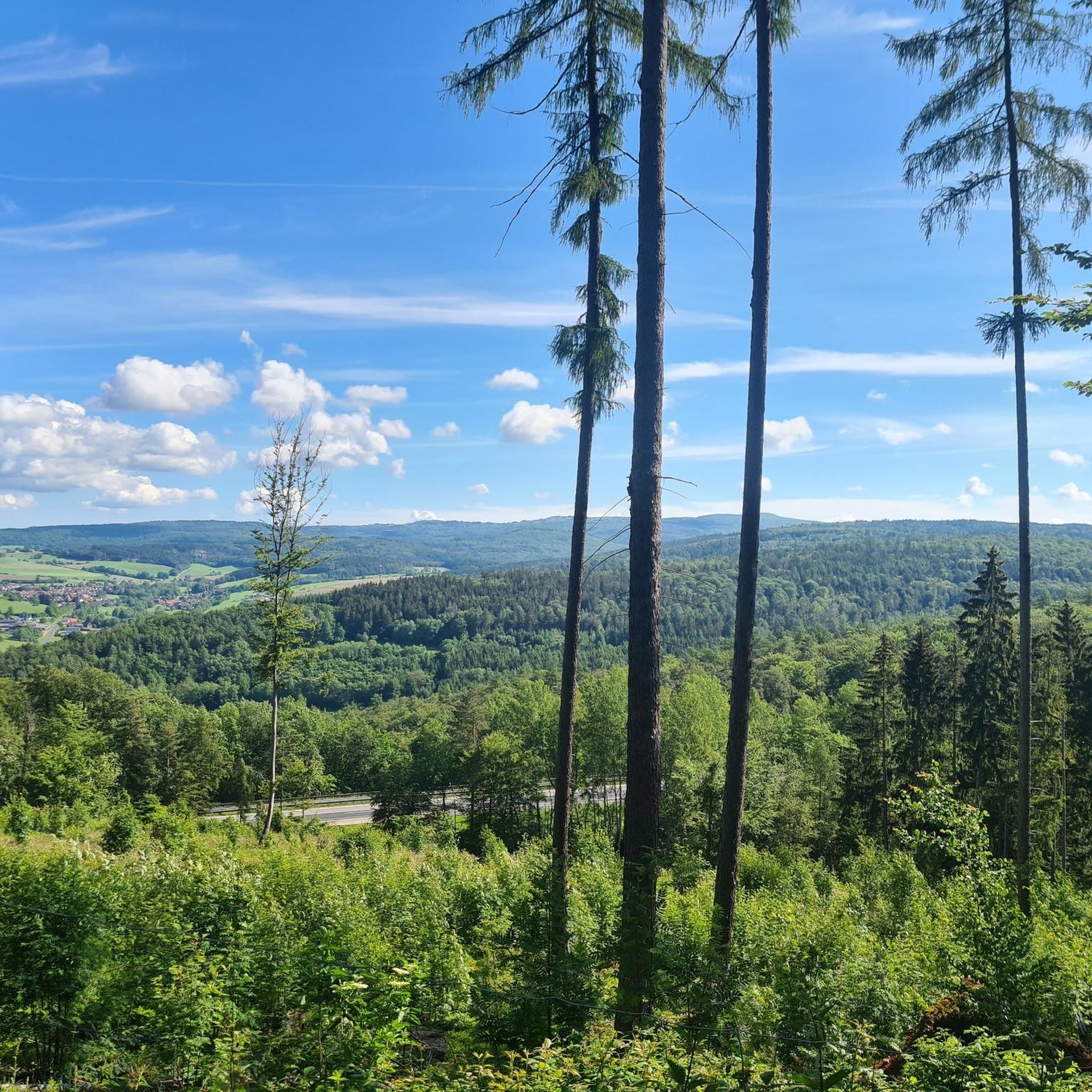
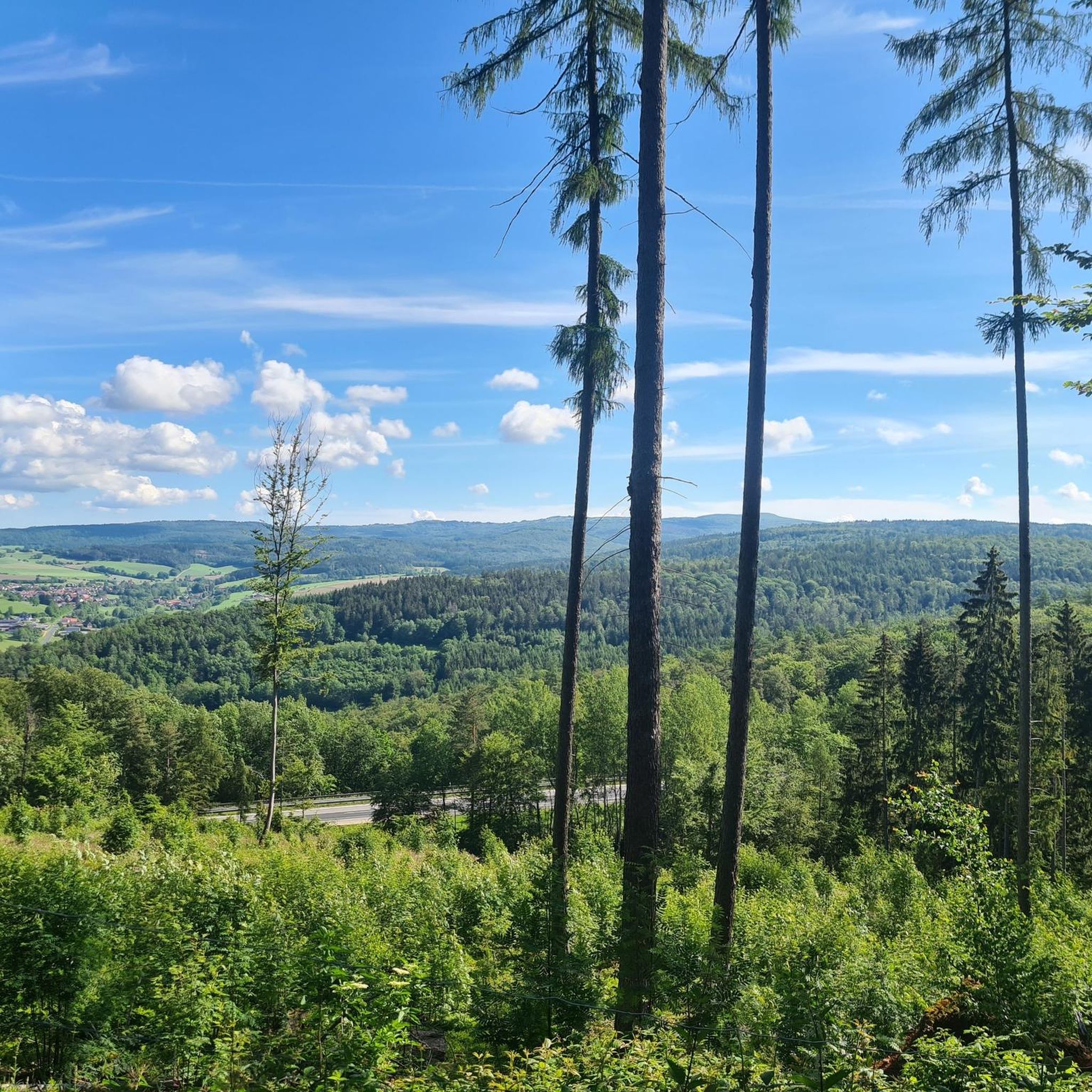
A fantastic view from a huge bench. Donated by the Motten Volunteer Fire Department.
0
0

High above the village of Volkers stands the former Volkersberg Monastery. A pilgrimage site existed here as early as 1378. A Franciscan monastery was founded to care for the pilgrims; it existed from 1658 to 1966. Today, it houses an educational center of the Diocese of Würzburg. The pilgrimage church of the Holy Cross was built starting in 1664 and had already been endowed with a relic of the True Cross in 1659. Its furnishings, including three altars, are Baroque. The former monastery church is now the parish church of Volkers.
6
0
The monastery tavern is highly recommended for a stop!
4
0

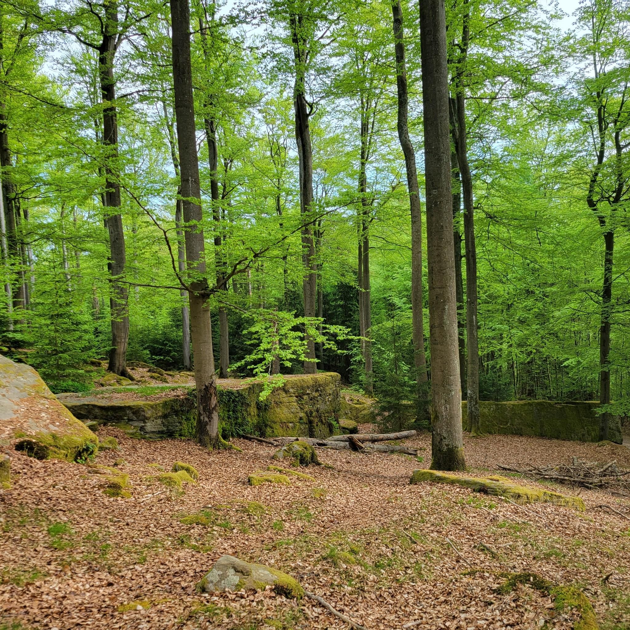
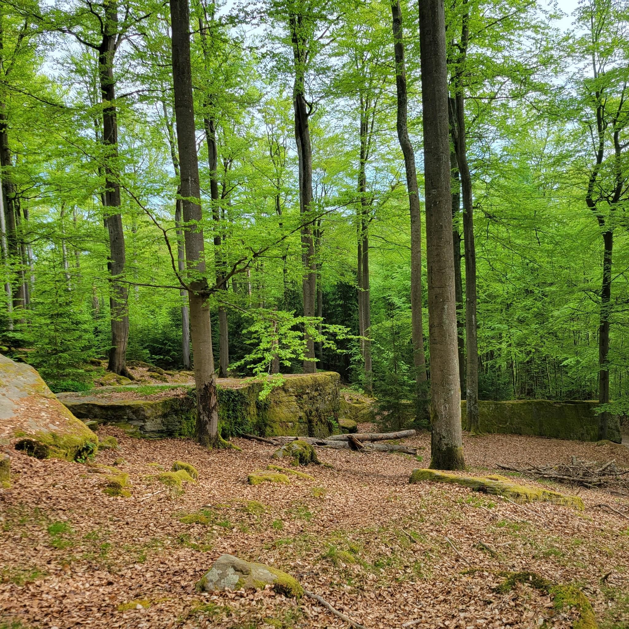
These monstrous stones are a phenomenal sight.
0
0

Very friendly service and super delicious food. I highly recommend the cordon bleu. So, it's a great place for a bite to eat.
0
0

Beer garden, restaurant, hotel, opening hours daily 5-8 pm, Sundays also 11:30 am-1:30 pm, Wednesday closed
1
0

Educational high ropes course that is great for family or company outings☺️👍 https://www.volkersberg.de/jugendbildungsst%C3%A4tte/hochseilgarten
2
0

A nice place to rest. The view and the surroundings are also recommendable. I always enjoy resting here.
3
0
Frequently Asked Questions
How many hiking trails are available in Römershager Forst-Nord?
Römershager Forst-Nord offers a wide selection of hiking routes, with over 780 trails to explore. These range from easy strolls to more challenging treks, ensuring options for every fitness level.
What kind of terrain can I expect on the hiking trails?
The region is characterized by tranquil and diverse forest areas, including lush woodlands and rolling hills. You'll find well-maintained paths, but some routes, particularly the more difficult ones, may feature varied terrain requiring sturdy footwear and good physical condition.
Are there easy hiking options suitable for beginners or casual walkers?
Yes, Römershager Forst-Nord has over 370 easy routes. An example is the Volkersberg Pilgrimage Church – Volkersberg House loop from Volkersberg, which is 4.1 miles (6.6 km) long and takes about 1 hour 47 minutes to complete.
What are some notable natural features or landmarks to look out for?
While hiking, you can discover several interesting points. The Würzburger Karl-Straub-Haus serves as a welcoming mountain hut for refreshments. Although not directly within the guide's routes, the nearby Basaltsee "Tintenfass" is a picturesque natural spectacle in the broader region, known for its unique basalt formations.
Are there any family-friendly hiking trails in Römershager Forst-Nord?
Many of the easy and moderate trails are suitable for families. The diverse forest landscape provides a pleasant environment for walks with children. For a moderate option, consider the In Conversation Fountain – Bad Brückenau Spa Park loop from Bad Brückenau, which is 4.9 miles (7.9 km) long and relatively flat.
Can I bring my dog on the hiking trails?
Generally, dogs are welcome on most hiking trails in Römershager Forst-Nord. It's always advisable to keep your dog on a leash, especially in nature reserves or areas with wildlife, and to respect local regulations.
Are there any circular hiking routes available?
Yes, many of the trails in Römershager Forst-Nord are designed as circular routes, allowing you to start and end at the same point. An example is the Ruins of Disbachsmühle – Sinntal Bridge (Sinntalbrücke) loop from Römershag, a 5.6 miles (9.1 km) trail.
What do other hikers enjoy most about the trails in Römershager Forst-Nord?
The trails in Römershager Forst-Nord are highly rated by the komoot community, with an average score of 4.7 stars from over 5,900 reviews. Hikers often praise the tranquil forest areas, the diverse landscapes, and the well-maintained paths that cater to various ability levels.
Are there any challenging hikes for experienced trekkers?
Yes, for experienced hikers seeking a challenge, there are 29 difficult routes. The Extra tour "Der Mottener": Motten – Rhön is a demanding 10.6 miles (17.1 km) trail with significant elevation changes, requiring good fitness and sturdy footwear.
Are there places to stop for refreshments or food along the trails?
Yes, some routes pass by or lead to places where you can get refreshments. The Würzburger Karl-Straub-Haus is a mountain hut that offers a pleasant dining room and outdoor area, making it an ideal stop on longer tours.
What is the typical duration for hikes in this region?
Hike durations vary significantly based on the trail's length and difficulty. Easy walks might take an hour or two, while moderate routes like the Old Quarry of Motten – XXL Bench Motten loop from Speicherz typically take around 3 hours 26 minutes. More challenging treks can extend to 5 hours or more.
Are there any historical sites or castles nearby to explore?
While hiking, you can explore historical elements such as the Ruins of Disbachsmühle, which are part of a loop trail. For more extensive historical exploration, the broader region features several castles, including Ramholz Castle and the Ruins of Steckelberg Castle, which can be found in nearby guides.
Most popular routes around Römershager Forst-Nord
Most popular attractions around Römershager Forst-Nord

Get inspired with the komoot mobile app


Explore more
Browse the best Hikes in other regions.
