The best cycling routes around Tambach Dietharz
4.6
(453)
1,758
riders
62
rides
Touring cycling routes around Tambach Dietharz are situated within the Thuringian Forest, an area defined by dense woodlands and a varied topography of rolling hills and steeper ascents. The region features several water bodies, including the Schmalwasser Dam and Ohratal Dam, which contribute to its diverse natural landscape. Cyclists can explore a network of trails that traverse remote forest paths and follow river courses like the Apfelstädt. This environment offers a range of cycling experiences suitable for different fitness levels.
…Last updated: September 29, 2026
4.6
(42)
171
riders
Hard bike ride. Very good fitness required. Mostly paved surfaces. Suitable for all skill levels.
4.5
(32)
105
riders
Moderate bike ride. Good fitness required. Mostly paved surfaces. Suitable for all skill levels.

4.7
(100)
254
riders
48.1km
03:06
350m
350m
Hard bike ride. Good fitness required. You may need to push your bike for some segments of this route.
4.1
(9)
102
riders
Easy bike ride. Great for any fitness level. Mostly paved surfaces. Suitable for all skill levels.
4.3
(12)
51
riders
35.6km
02:59
760m
760m
Hard bike ride. Very good fitness required. Mostly paved surfaces. Suitable for all skill levels.
Get access to more routes and recommendations from other explorers.
Already have an account?
Our route recommendations are based on thousands of hikes, rides, and runs completed by other people on komoot.
Start today with a free account
Your next adventure awaits.
Popular around Tambach-Dietharz
The Rennsteig — Thuringia's most beautiful hiking route

Forest, vastness and water – day trips in the Thuringian Forest

Long distance hiking trails in the Thuringian Forest
Zwei Tage raus! – Rad-Micro-Adventures in Thüringen
Zwischen Rennsteig und Talsperren – Mikroabenteuer im Thüringer Wald
Die Magie von Klammen und Schluchten im Herzen Deutschlands
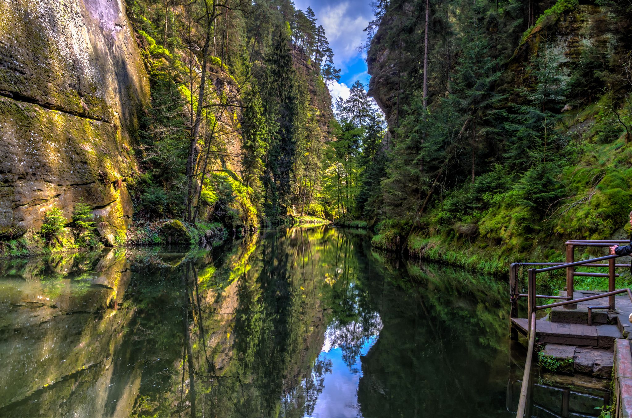
Die Magie von Klammen im Osten Deutschlands
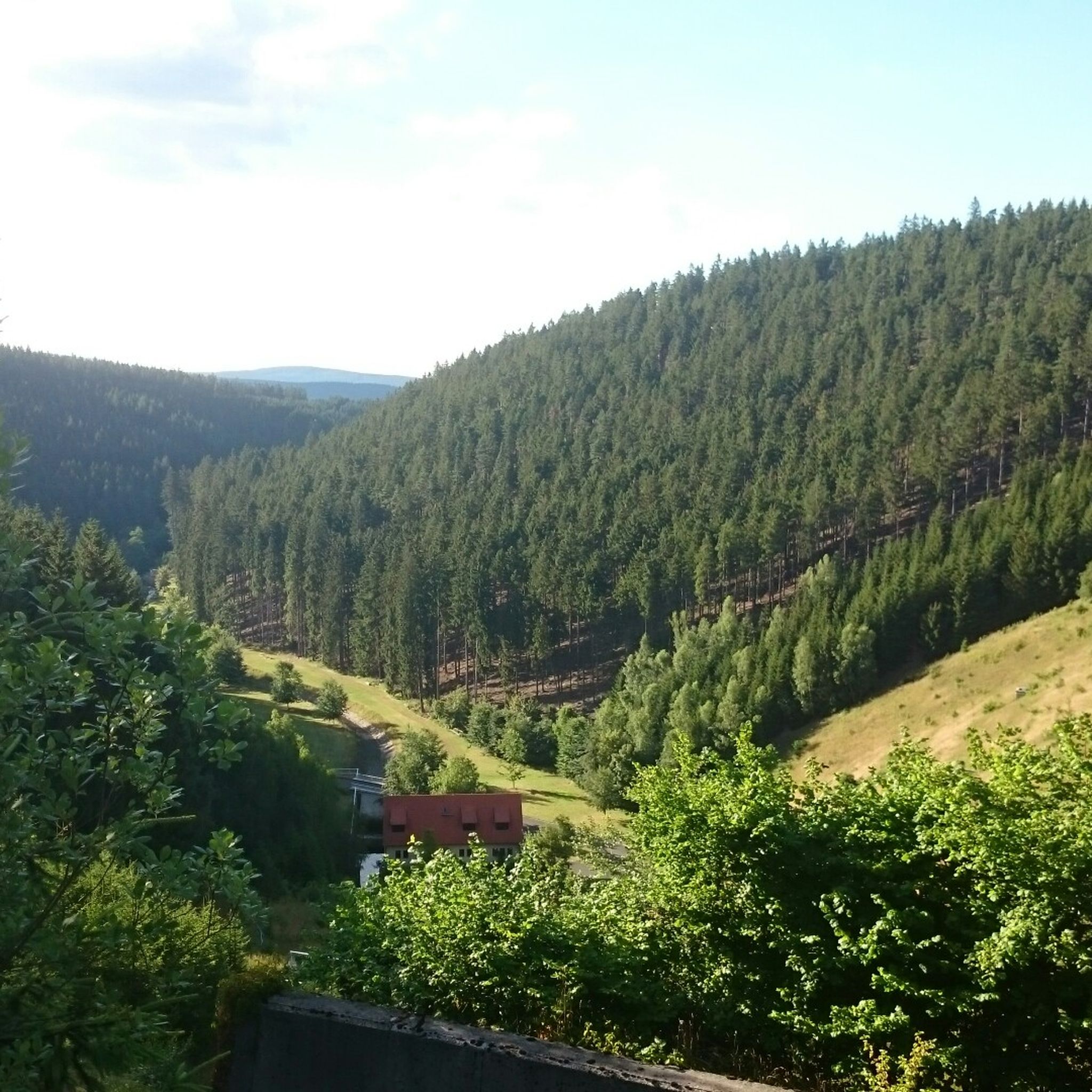
Hiking around Tambach Dietharz
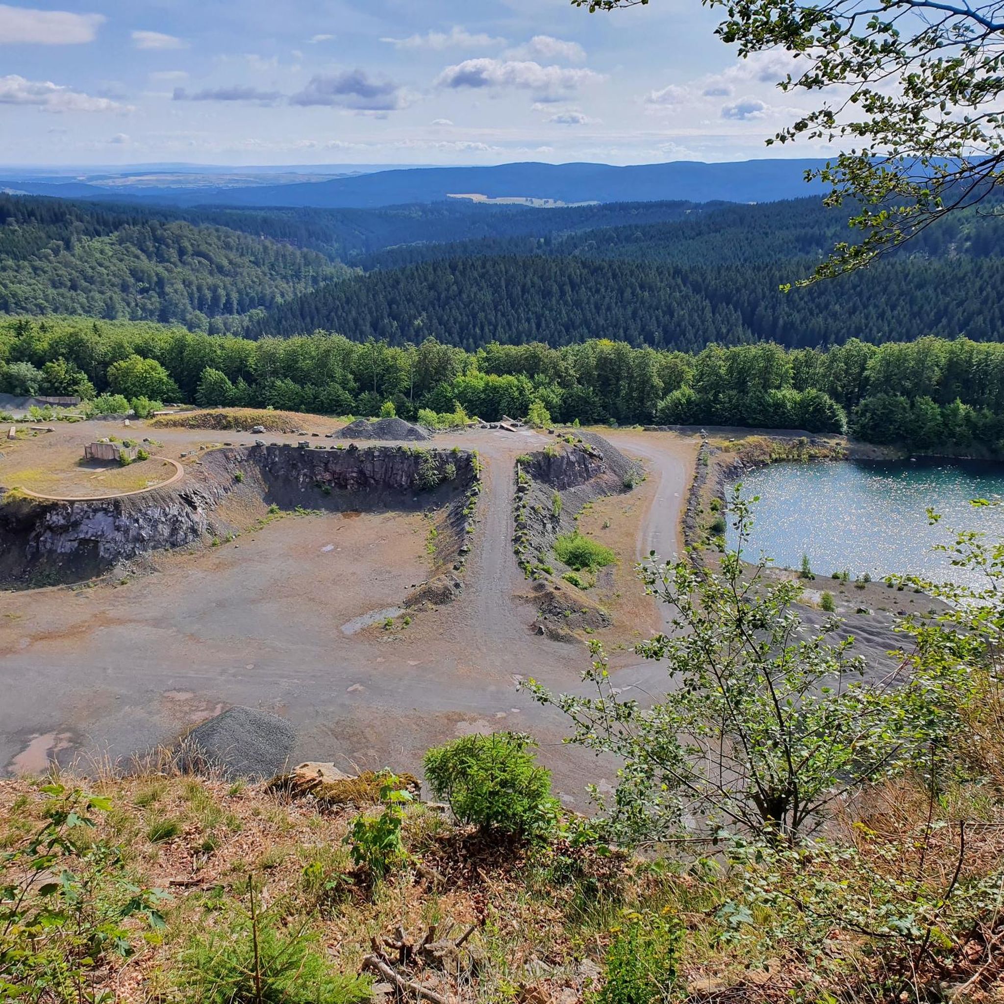
Running Trails around Tambach Dietharz
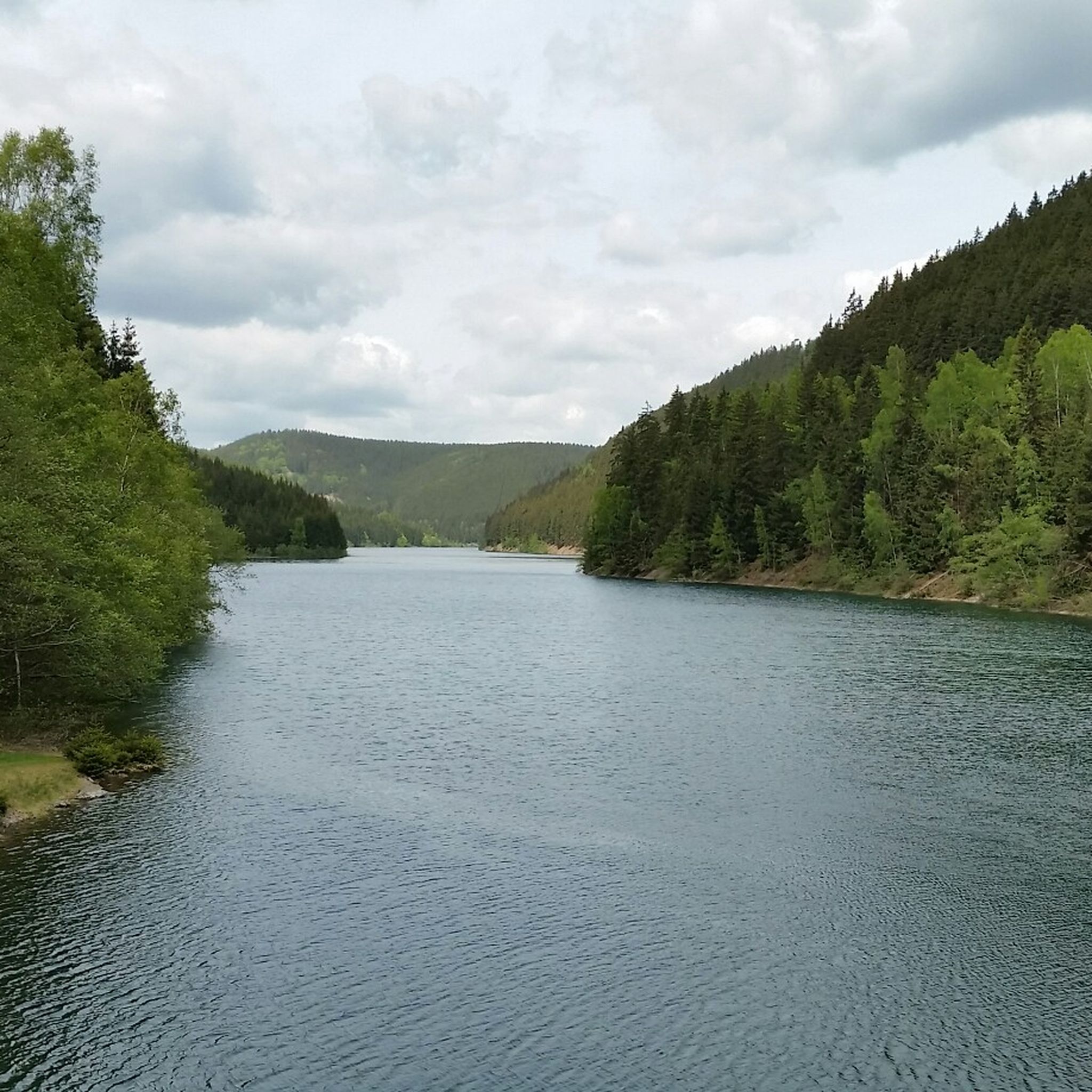
MTB Trails around Tambach Dietharz
Other adventures around Tambach Dietharz


Tips from the Community

Particularly well located for sunset views.
0
0
Beautiful view of the dam
0
0

Freely accessible!
0
0


Nice hut, opens a bit too rarely: (Thu) from 17:00 to 21:00 (Fri) from 17:00 to 21:00 (Sat) from 11:30 to 15:00 & from 17:00 to 21:00 (Sun) from 11:30 to 15:00
0
0
A beautiful viewpoint with a good view in the distance.
10
0

It's a great place for hiking.
0
0

You can clearly see how much water is missing at the moment. Still, it's absolutely recommended as a destination!
0
0
Frequently Asked Questions
What kind of terrain can I expect on touring cycling routes around Tambach-Dietharz?
The region is characterized by dense forests and picturesque hills, offering a variety of cycling experiences. You'll find a mix of gentle rolling landscapes and steeper climbs, with routes traversing remote forest paths and following river courses like the Apfelstädt. Some routes feature mostly paved surfaces, while others include unpaved and challenging segments.
Are there easy or family-friendly touring cycling routes in Tambach-Dietharz?
Yes, Tambach-Dietharz offers routes suitable for various skill levels. There are 7 easy touring cycling routes, and many of the 38 moderate routes are also suitable for families looking for a less strenuous ride. The Schmalwasser Dam – Schmalwasser Dam loop from Tambach-Dietharz is a moderate 11.1-mile path offering scenic views without extreme difficulty.
Are there challenging touring cycling routes for experienced cyclists?
Absolutely. For experienced touring cyclists seeking a challenge, Tambach-Dietharz offers 23 difficult routes. These often feature significant elevation gain and can include unpaved sections. An example is the Wachsenrasen Stone Shelter – Oberhof Winter Sports Center loop from Tambach-Dietharz, a 27.3-mile route with substantial elevation gain through forest landscapes.
What natural landmarks or attractions can I see while cycling in Tambach-Dietharz?
The region is rich in natural beauty. You can cycle past several dams, including the Schmalwasser Dam and Ohratal Dam. The Falkenstein Rock, a 96-meter-high freestanding porphyry rock, is a notable natural monument. Other attractions include the Great Inselsberg, Bärenbruchsgraben Gorge, and the Red Tower. The Apfelstädt Spring is also an idyllic spot along the Apfelstädt cycle path.
Are there any waterfalls accessible by touring bike in the region?
Yes, the Trusetal Waterfall is a notable natural monument in the vicinity of Tambach-Dietharz that can be incorporated into longer touring cycling routes.
Can I find circular touring cycling routes in the Tambach-Dietharz area?
Yes, many touring cycling routes in Tambach-Dietharz are designed as loops, allowing you to start and end in the same location. Examples include the Boxberg, Gotha – View of Inselsberg loop from Tambach-Dietharz and the Ohratal Dam – Ohra Reservoir loop from Tambach-Dietharz.
Are touring cycling routes in Tambach-Dietharz suitable for cycling with dogs?
Many of the forest paths and less technical routes in Tambach-Dietharz are suitable for cycling with dogs, especially if they are accustomed to longer distances and varied terrain. Always ensure your dog is on a leash where required and consider their fitness level for the chosen route. The extensive network of trails through the Thuringian Forest provides ample opportunities for pets to enjoy the outdoors with you.
What is the best time of year for touring cycling in Tambach-Dietharz?
The Thuringian Forest is beautiful throughout the warmer months. Spring offers fresh greenery, while summer provides lush woodlands. Autumn brings vibrant fall colors, making it a particularly scenic time for cycling. It's always advisable to check local weather conditions before heading out.
What do other touring cyclists enjoy the most about touring cycling in Tambach-Dietharz?
The area is highly rated by the komoot community, with an average score of 4.8 stars from over 380 reviews. Reviewers often praise the dense forests, picturesque hills, and scenic dams, as well as the diverse range of routes catering to different ability levels.
Are there any specific long-distance cycle paths that connect to Tambach-Dietharz?
Yes, parts of the renowned Rennsteig Cycle Path are integrated into local cycling routes, allowing you to experience this famous long-distance trail. Additionally, the Apfelstädt Cycle Path, which largely follows the Apfelstädt river, connects to the long-distance Thuringian City Chain route.
What are some of the notable water bodies I can cycle past in the region?
Tambach-Dietharz is surrounded by several picturesque water bodies. You can cycle past the Schmalwasser Dam, Ohratal Dam, and the Old Tambach Dam with its distinctive turquoise water. The Wedelbachteich pond is also highlighted as an idyllic spot for a break.
Most popular routes around Tambach Dietharz
Most popular attractions around Tambach Dietharz

Get inspired with the komoot mobile app


Explore more
Browse the best Cycling routes in other regions.
