The best gravel rides around Tambach Dietharz
4.4
(55)
337
riders
59
rides
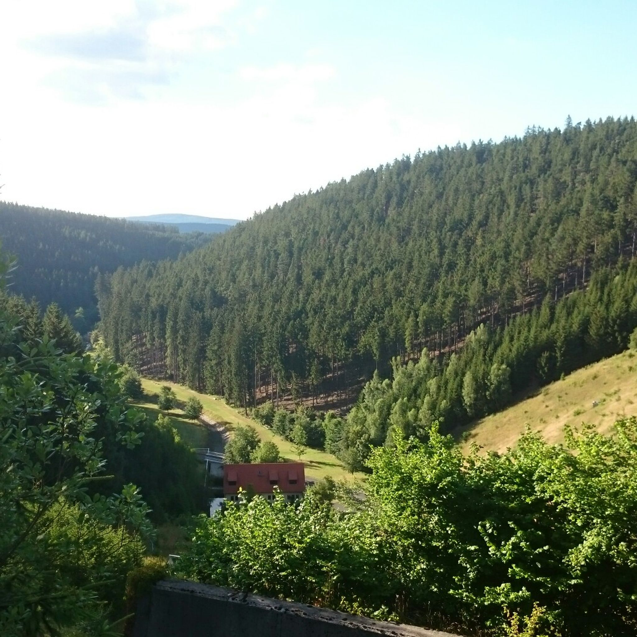
Gravel biking around Tambach-Dietharz offers a diverse landscape characterized by dense forests, rolling hills, and numerous reservoirs within the Thuringian Forest. The region features a network of unpaved roads and forest tracks, providing varied terrain suitable for gravel bikes. Elevations range from gentle inclines to more challenging climbs, with many routes following river valleys and passing through wooded areas.
Best gravel bike trails around Tambach Dietharz
- The most popular gravel bike trail is Wachsenrasen Stone Shelter – Gustav-Freytag-Stein Shelter loop…
Last updated: July 2, 2026
3.0
(2)
23
riders
Moderate gravel ride. Good fitness required. Mostly paved surfaces. Suitable for all skill levels.
4.5
(2)
14
riders
Hard gravel ride. Very good fitness required. Mostly paved surfaces. Suitable for all skill levels.

Sign up for free
5.0
(4)
19
riders
Hard gravel ride. Good fitness required. You may need to push your bike for some segments of this route.
5.0
(1)
7
riders
36.8km
02:49
760m
760m
Hard gravel ride. Very good fitness required. Mostly paved surfaces. Suitable for all skill levels.
4.0
(1)
2
riders
42.4km
03:01
790m
790m
Hard gravel ride. Very good fitness required. Mostly paved surfaces. Suitable for all skill levels.
Get access to more routes and recommendations from other explorers.
Sign up for free
Already have an account?
Our route recommendations are based on thousands of hikes, rides, and runs completed by other people on komoot.
Start today with a free account
Your next adventure awaits.
Login or Signup
Popular around Tambach-Dietharz
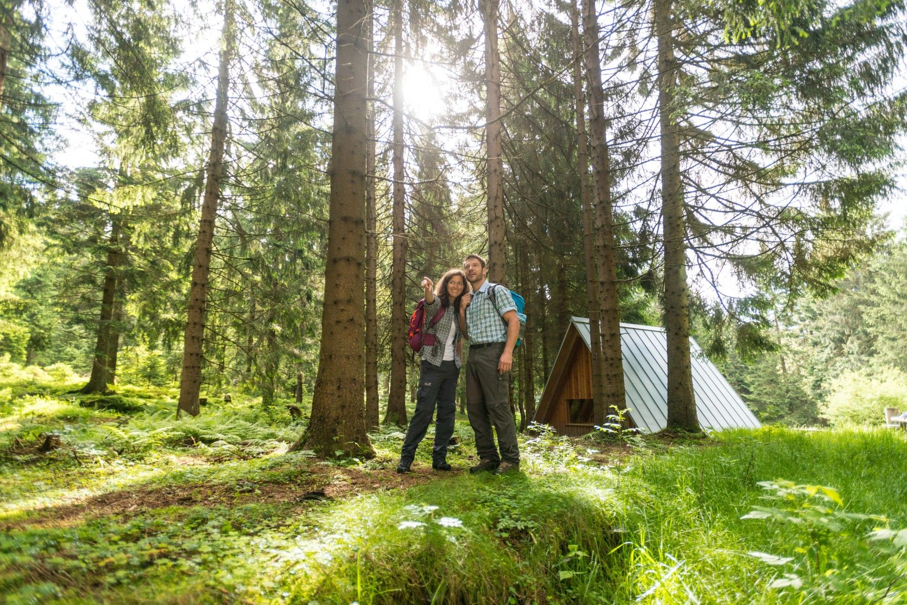
The Rennsteig — Thuringia's most beautiful hiking route

Forest, vastness and water – day trips in the Thuringian Forest

Long distance hiking trails in the Thuringian Forest
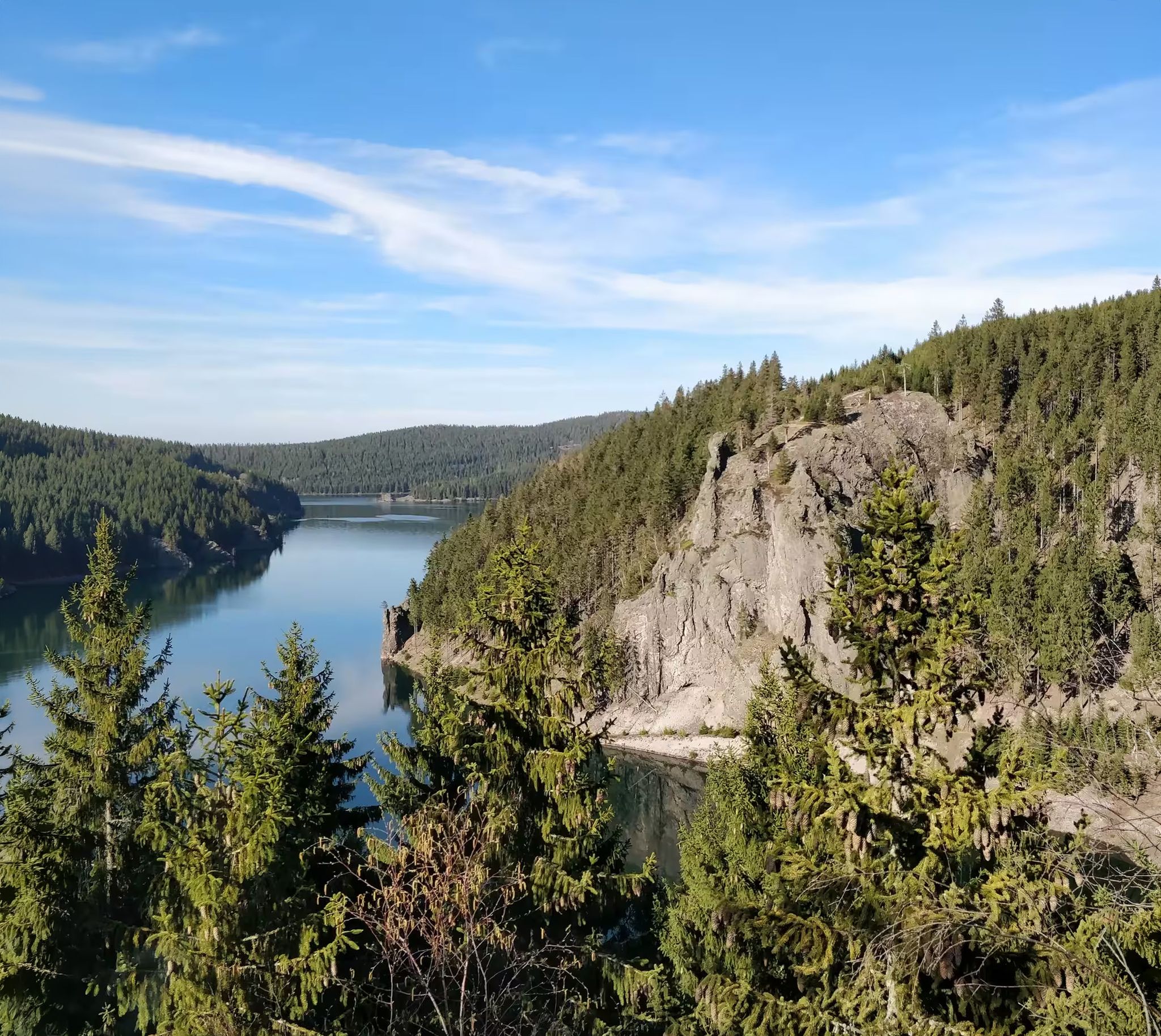
Zwischen Rennsteig und Talsperren – Mikroabenteuer im Thüringer Wald
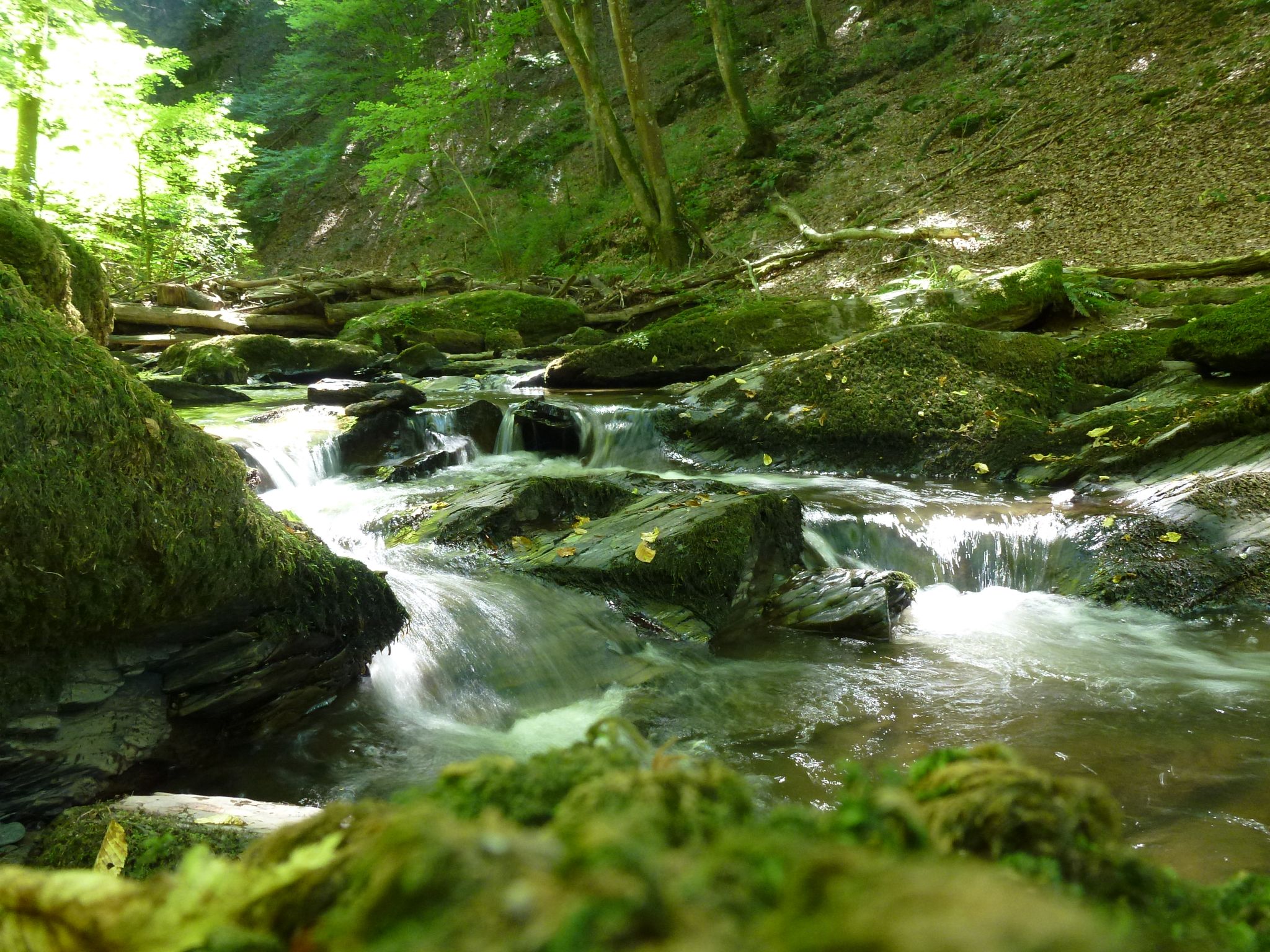
Die Magie von Klammen und Schluchten im Herzen Deutschlands
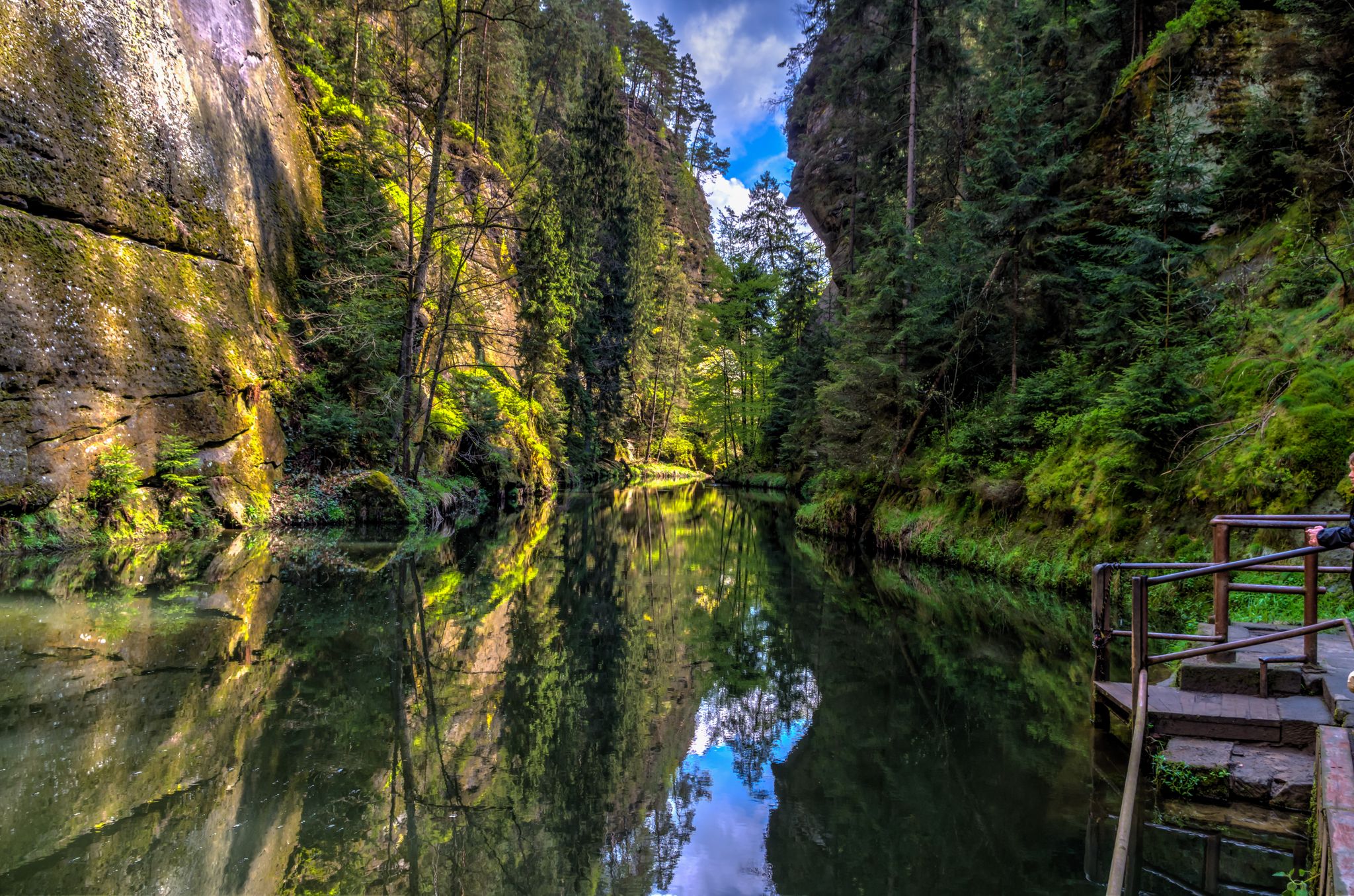
Die Magie von Klammen im Osten Deutschlands
Hiking around Tambach Dietharz
Cycling around Tambach Dietharz
Running Trails around Tambach Dietharz
MTB Trails around Tambach Dietharz
Other adventures around Tambach Dietharz


Tips from the Community

The title of the highlight is misleading, there is no tunnel at that location ! beautiful cycle path on an old railway line
0
0
Currently, there is a good view from up here of the old railway viaduct over the Schmalkalde and the tunnel portal.
0
0

It's a great place for hiking.
0
0

A great viewpoint, with a sign explaining what you can see in the distance.
16
1
The mountain lake has its own charm at every time of year and day.
17
0
A great destination for the whole family.
14
0

Great route, varied, beautiful views
1
0
Frequently Asked Questions
How many gravel bike trails are available in Tambach-Dietharz?
There are over 70 gravel bike trails around Tambach-Dietharz, offering a wide range of options for different skill levels. You'll find everything from moderate forest paths to more challenging routes with significant elevation gain.
Are there any easy gravel bike trails suitable for beginners in Tambach-Dietharz?
While there are no trails specifically graded as 'easy', Tambach-Dietharz offers 12 moderate gravel bike routes. These routes provide a good starting point for beginners looking to explore the region's forested areas without overly strenuous climbs. A good example is the Wachsenrasen Stone Shelter – Gustav-Freytag-Stein Shelter loop from Schützenbergmoor, which features moderate climbs through woodlands.
What are some challenging gravel bike routes near Tambach-Dietharz?
For experienced gravel bikers seeking a challenge, Tambach-Dietharz has over 60 difficult routes. The Hammer Pond, Georgenthal – Flößgraben Circular Trail loop from Tambach-Dietharz is a long-distance option exploring varied terrain and historical waterways. Another demanding ride is the Great Inselsberg – Reinhardsbrunn Ponds loop from Finsterbergen, which includes significant elevation changes through forests and past ponds.
Are there circular gravel bike routes around Tambach-Dietharz?
Yes, many of the gravel bike routes in Tambach-Dietharz are circular, allowing you to start and end at the same point. For instance, the Spießberg Observation Tower – View from Spießbergturm loop from Tambach-Dietharz offers a scenic circular tour with rewarding views.
What kind of scenic viewpoints can I expect on Tambach-Dietharz gravel trails?
The region is known for its dense forests and rolling hills, offering numerous scenic spots. You can expect views over the Thuringian Forest, glimpses of reservoirs, and panoramic vistas from higher elevations. The Great Inselsberg is a prominent summit offering expansive views, often incorporated into longer routes.
What attractions or landmarks can I see along the gravel bike trails?
Many routes pass by interesting natural and historical sites. You might encounter the Forest Workers' Memorial, the dramatic Bärenbruchsgraben Gorge, or even the impressive Trusetal Waterfall. Some trails also lead past the Burnt Stone Tunnel, adding a historical element to your ride.
Are there any routes that pass by reservoirs or water bodies?
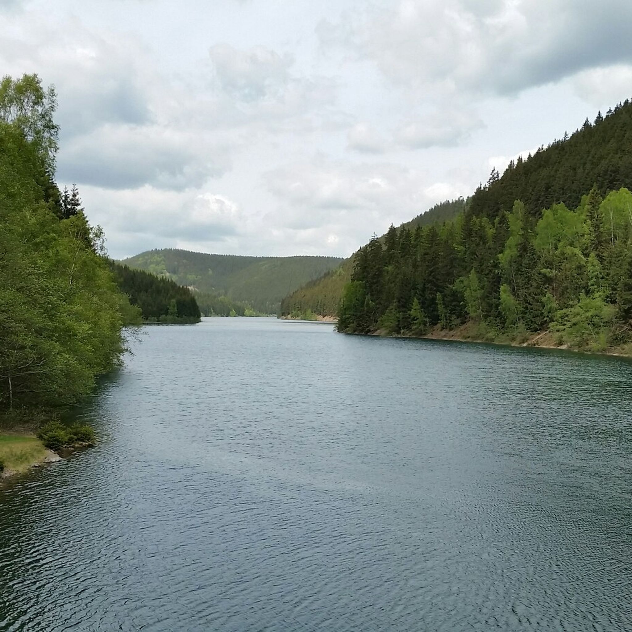
Absolutely. Tambach-Dietharz is characterized by numerous reservoirs. The Ohra Reservoir – Ohra Dam loop from Tambach-Dietharz is a prime example, offering extensive riding along the shores of the Ohra Reservoir and around its dam.
What is the best time of year for gravel biking in Tambach-Dietharz?
The spring, summer, and autumn months generally offer the best conditions for gravel biking in Tambach-Dietharz. The Thuringian Forest is particularly beautiful when the leaves change color in autumn. During these seasons, trails are typically dry and the weather is pleasant for longer rides.
What are the winter gravel biking conditions like in Tambach-Dietharz?
Winter conditions can vary significantly. While some main forest paths might remain rideable, snow and ice can make many gravel trails challenging or impassable, especially at higher elevations. It's advisable to check local weather and trail conditions before planning a winter ride, and consider routes at lower altitudes or those that are regularly cleared.
What do other gravel bikers enjoy most about the trails in Tambach-Dietharz?
The gravel bike routes in Tambach-Dietharz are highly rated by the komoot community, with an average score of 4.6 stars from over 70 reviews. Riders frequently praise the diverse landscape, including dense woodlands, rolling hills, and scenic reservoirs, as well as the extensive network of unpaved roads and forest tracks that provide varied terrain.
Are there any huts or shelters along the gravel bike routes for a break?
Yes, the region has several huts and shelters that can provide a welcome break during your ride. You might come across places like the Shelter "Stein 16" or the Thuringian Hut. The Ruppberg Summit and Rappenberg Hut is another notable spot, often serving as a stamp point for hikers and bikers.
Most popular routes around Tambach Dietharz
Most popular attractions around Tambach Dietharz

Get inspired with the komoot mobile app


Explore more
Browse the best Gravel rides in other regions.
