The best walks and hikes around Cazzano Sant'Andrea
4.4
(4457)
24,113
hikers
685
hikes
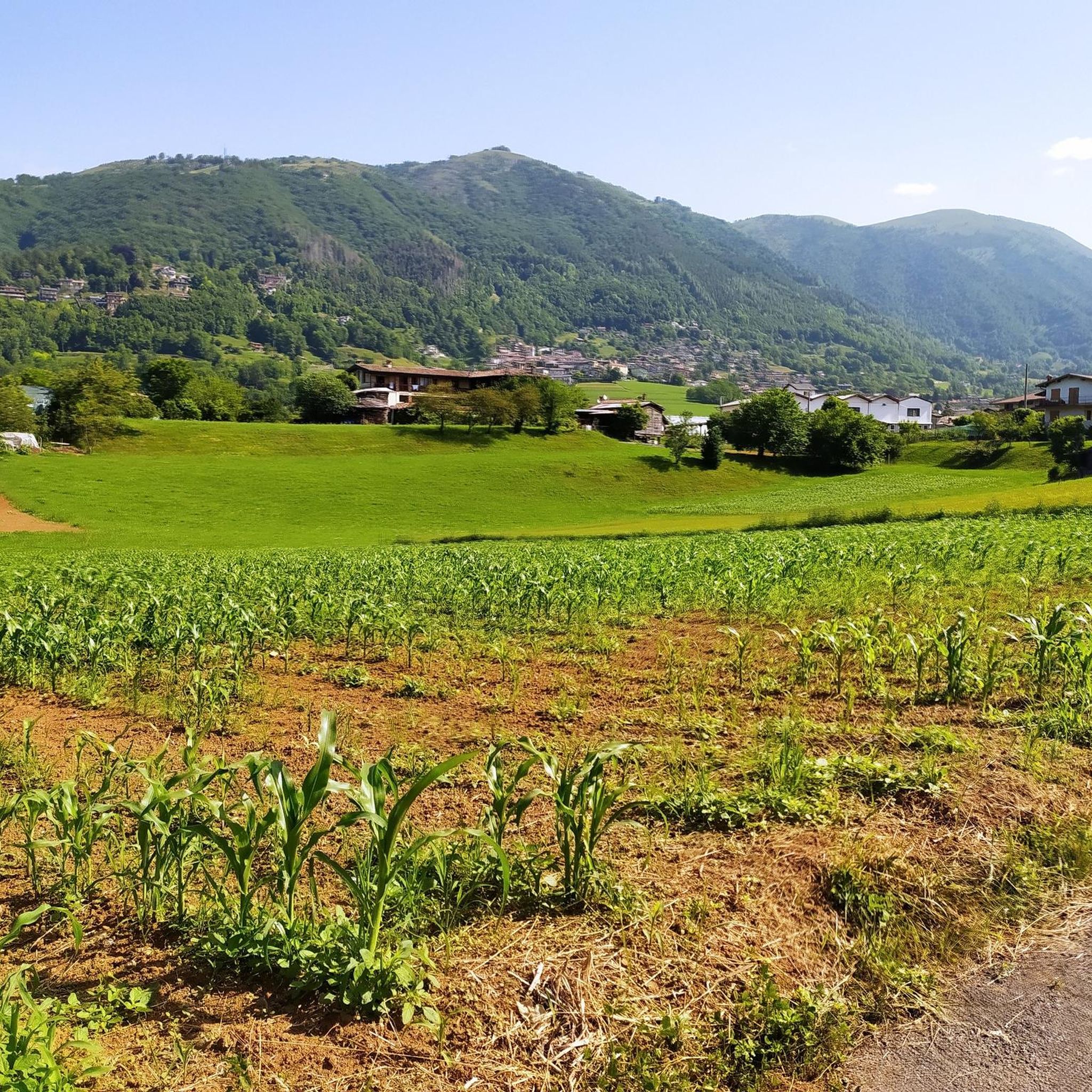
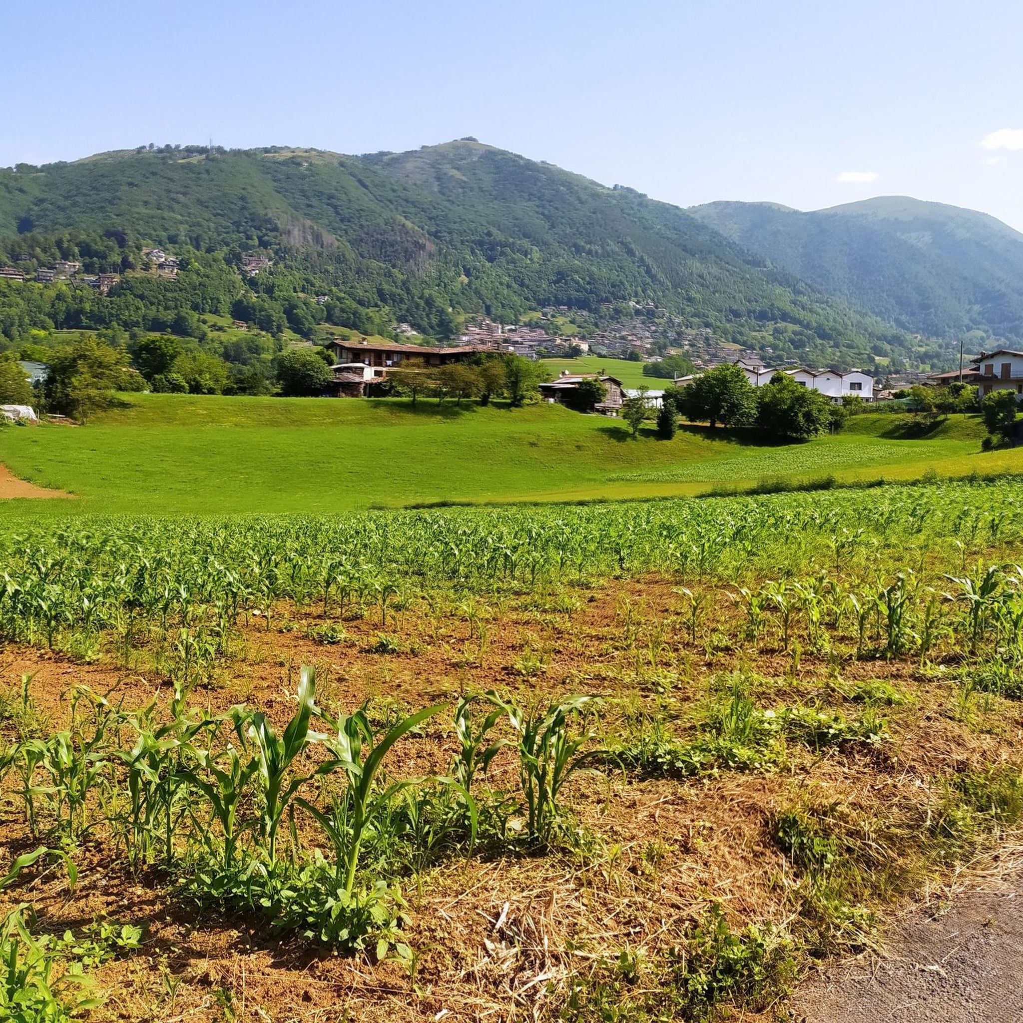
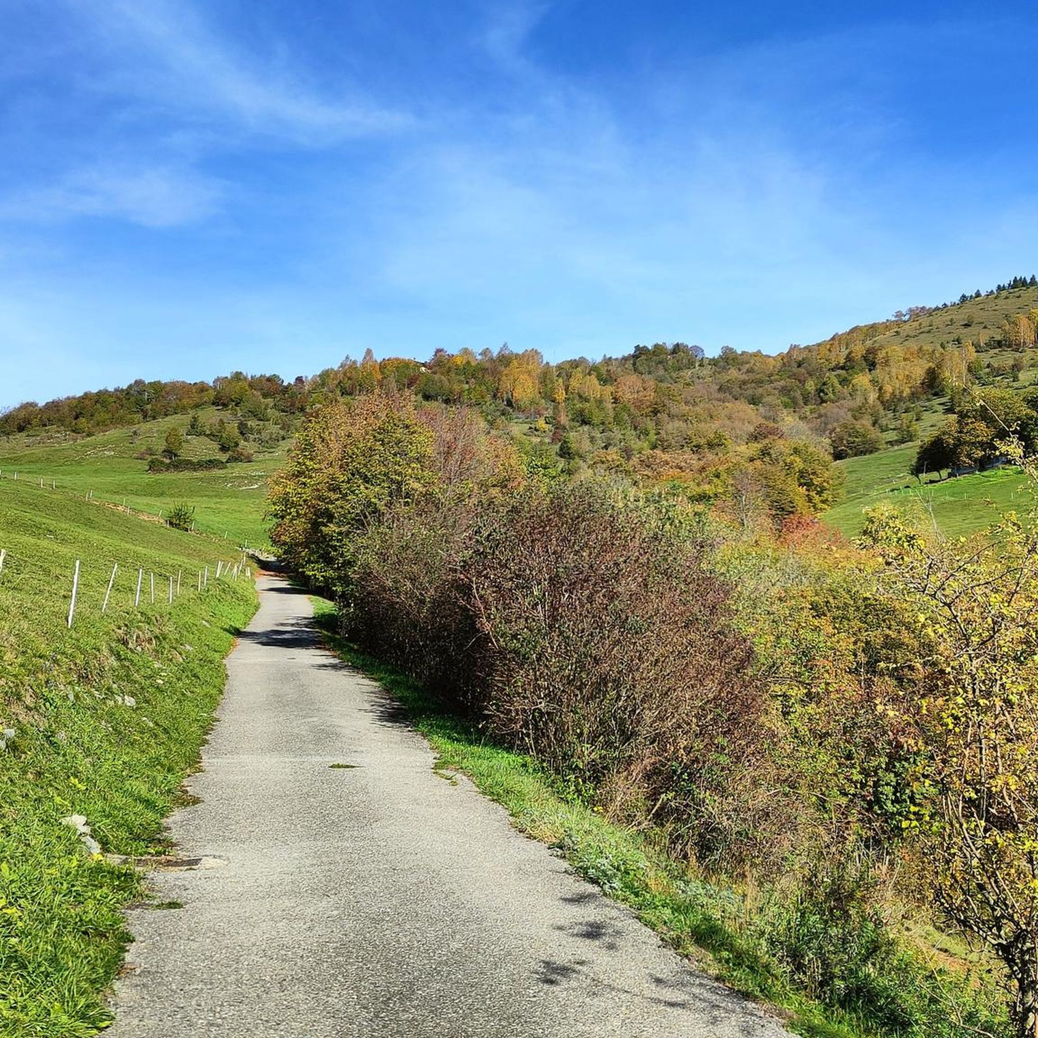
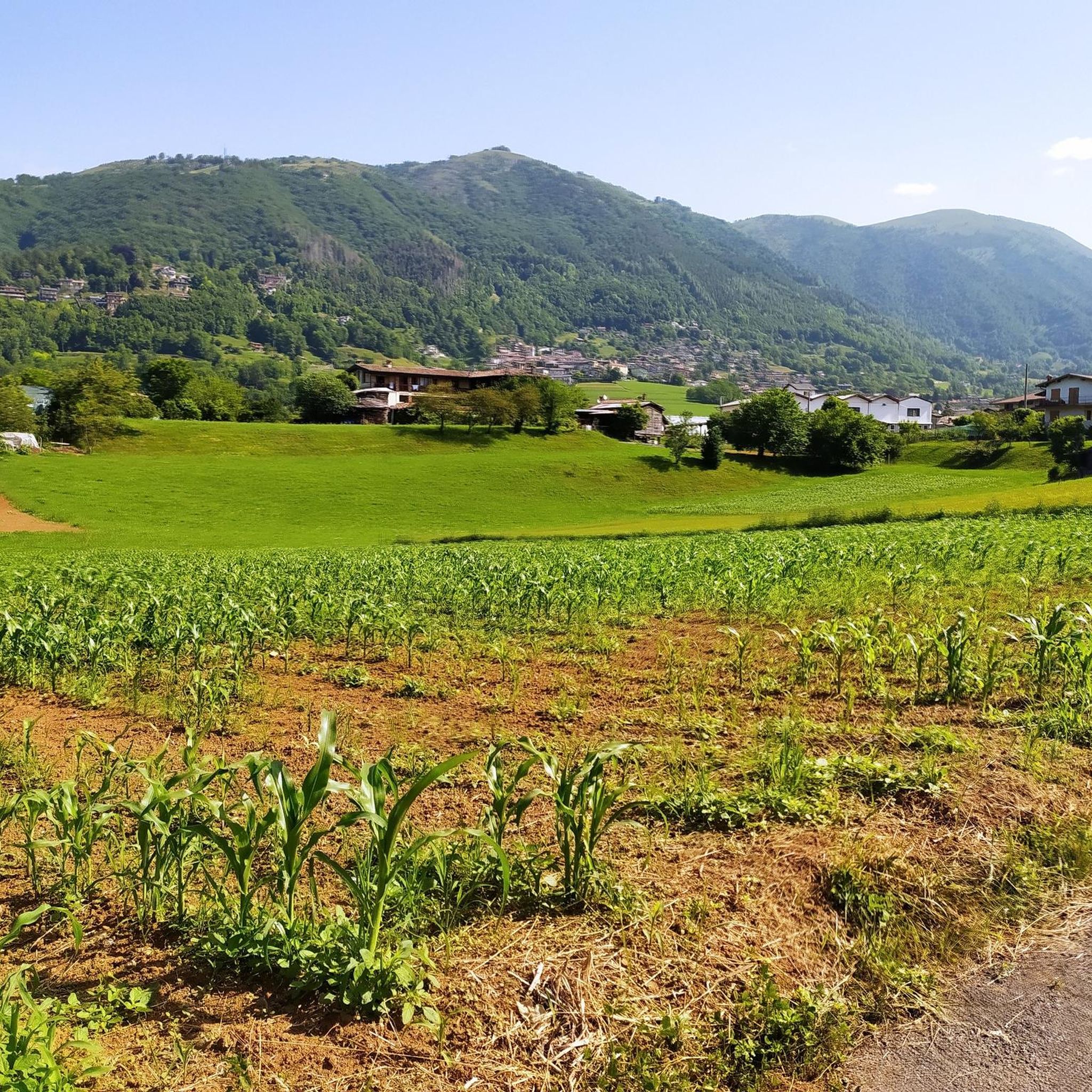
Hiking around Cazzano Sant'Andrea offers diverse terrain within the Lombardy region of Italy. The area is characterized by the dramatic backdrop of the Bergamo Alps and Orobie Mountains, providing varied landscapes from alpine meadows to higher altitude challenges. Hikers can explore beautiful valleys like Val Gandino and Val Seriana, with panoramic points such as Forcella Larga offering expansive views. Dominant peaks like Pizzo Formico, standing at 1636 meters, provide exceptional vistas of the Prealps and surrounding valleys.
Best hiking trails…
Last updated: June 29, 2026
4.6
(337)
1,931
hikers
9.61km
02:55
330m
330m
Moderate hike. Good fitness required. Easily-accessible paths. Suitable for all skill levels.
4.8
(87)
344
hikers
11.9km
04:02
470m
470m
Moderate hike. Good fitness required. Mostly accessible paths. Sure-footedness required.

Sign up for free
3.8
(6)
51
hikers
12.8km
05:34
950m
950m
Hard hike. Very good fitness required. Mostly accessible paths. Sure-footedness required.
4.5
(2)
11
hikers
9.80km
04:34
740m
750m
Moderate hike. Good fitness required. Mostly accessible paths. Sure-footedness required.
3.0
(1)
4
hikers
17.0km
06:23
1,010m
1,020m
Hard hike. Very good fitness required. Mostly accessible paths. Sure-footedness required.
Get access to more routes and recommendations from other explorers.
Sign up for free
Already have an account?
Our route recommendations are based on thousands of hikes, rides, and runs completed by other people on komoot.
Start today with a free account
Your next adventure awaits.
Login or Signup

Tips from the Community

The Sanctuary of the Holy Trinity of Casnigo is one of the most evocative places of worship in the Seriana Valley, nestled on the slopes of Mount Farno at approximately 690 meters above sea level. Beyond its religious significance, it is a true treasure trove of art and history, with architectural layers that reflect centuries of popular devotion. 🕍 History and Architecture Medieval Origins: The site was already inhabited in prehistoric times, and in the Middle Ages it housed a strategic watchtower overlooking the middle Seriana Valley. Three construction phases: A first chapel (before 1491), now incorporated into the portico. A 15th-century hall, with original terracotta flooring and votive frescoes. A 16th-century hall (1575–1596), higher and more spacious, houses the famous fresco of the Last Judgement by Cristoforo Baschenis "the Elder." 🎨 Works of Art and Symbolism Polyptych of the High Altar: created by Giovanni Marinoni and his son Antonio, with six compartments on two tiers, framed in gold. Frescoes in the portico and nave: depict the Madonna and Child, local saints, and the Trinity according to the iconography of the Throne of Grace. Last Judgement: a monumental work that occupies the entire eastern wall, with hundreds of figures, including the Archangel Michael, demons, and a monstrous serpent swallowing the damned. 📜 Devotion and Confraternity The sanctuary was the seat of the Confraternity of the Holy Trinity, established in 1523 by papal bull of Paul III. In 1575, it received a visit from Saint Charles Borromeo, and had approximately 500 members. The women's gallery above the 15th-century hall allowed the brothers to attend services from an elevated loggia. 🧭 Practical Information Location: Ronco Trinità, Casnigo (BG) Elevation: approximately 690–700 m above sea level Accessibility: Accessible on foot or by car, with parking available Services: Bar, restrooms, disabled access Patron Saint's Day: May 26
0
0


The pyramid located near the Cross serves as a shelter for food and necessities (privately owned)
1
0

panoramic view of the Gandino valley.
0
0

Very panoramic position, with a view over the entire Val Gandino.
0
0
Forcella Larga is a pass located along the hiking trail that connects Pizzo Formico (1636 m) to Montagnina, in Val Gandino, province of Bergamo. It is a panoramic point much appreciated by hikers for its view of the Orobie Bergamasche and Val Seriana. Characteristics of Forcella Larga: Altitude: About 1470 meters. Access: Reachable via the CAI 549 path, which connects Monte Farno to the Rifugio Parafulmine. Panorama: View of Val Seriana, Val Gandino and the surrounding mountains. Support points: Capanna Ilaria, located near the fork. Recommended route: The most common path starts from Conca del Farno, crosses Montagnina and reaches Forcella Larga before continuing towards the summit of Pizzo Formico. It is an excursion suitable for those who have experience in the mountains and want to enjoy a breathtaking view.
0
0
The Alpe Montagnina Trail is a hiking trail located in Val Gandino, in the province of Bergamo. It is a panoramic trail that connects Pizzo Formico to Rifugio Parafulmine, crossing the Montagnina area. Trail characteristics: Altitude: Varies between 1200 and 1600 meters. Route: CAI Trail 549, with connections to Monte Farno and Bivacco Baroncelli. Difficulty: Hiking (E), suitable for those with mountain experience. Panorama: View of Val Seriana, Val Gandino and the Orobie. Support points: Rifugio Parafulmine, Capanna Ilaria and Bivacco Baroncel
0
0
Capanna Ilaria is located at 1470 meters above sea level, in the Forcella Larga area, along the hiking trail that leads to Pizzo Formico (1636 m). It is a reference point for hikers who cross the Montagnina and head towards Rifugio Parafulmine. Characteristics of Capanna Ilaria: Altitude: 1470 m. Location: Forcella Larga, along the CAI 549 trail. History: The hut is a historic ruin, often used as a rest point. Route: Connections with Pizzo Formico, Monte Farno and Rifugio Parafulmine. Panorama: View of Val Seriana, Val Gandino and the Orobie. From Pizzo Formico, Capanna Ilaria can be reached in about 30 minutes, following the trail that crosses the Montagnina. It is a perfect place for a break before continuing towards the refuge or the summit.
0
0
Frequently Asked Questions
How many hiking trails are there around Cazzano Sant'Andrea?
There are over 680 hiking routes in the Cazzano Sant'Andrea area, catering to a wide range of abilities. You'll find approximately 130 easy trails, over 350 moderate routes, and nearly 200 challenging hikes, ensuring options for every experience level.
What kind of terrain can I expect on hikes in Cazzano Sant'Andrea?
The terrain around Cazzano Sant'Andrea is incredibly diverse, ranging from alpine meadows and lush forests to the more rugged slopes of the Bergamo Alps and Orobie Mountains. You'll encounter paths winding through beautiful valleys like Val Gandino and Val Seriana, with some routes leading to higher altitudes and panoramic viewpoints.
Are there any family-friendly hiking options in Cazzano Sant'Andrea?
Yes, Cazzano Sant'Andrea offers trails suitable for families. Many paths traverse meadows and forests with manageable elevation gains, making them ideal for all ages. Look for routes described as 'easy' within the komoot guide for the most suitable options.
What are some notable natural features or viewpoints to see while hiking?
Hikers can enjoy stunning natural features and panoramic viewpoints. Highlights include Forcella Larga, offering expansive vistas of Val Seriana and Val Gandino, and Pizzo Formico, a dominant peak at 1636 meters with exceptional views of the Prealps and Orobie Alps. The unique Conca del Farno basin, with its arctic temperatures and grazing meadows, also provides an interesting ecological contrast.
Are there any circular hiking routes available?
Yes, there are circular routes. For example, the Pizzo Formico and Rifugio Parafulmine Loop is a moderate 11.9 km path that takes about 4 hours to complete, offering views of the karst and pastureland basin of the Farno.
What do other hikers say about the trails in Cazzano Sant'Andrea?
The hiking trails in Cazzano Sant'Andrea are highly regarded by the komoot community, with an average rating of 4.4 out of 5 stars from over 4,100 reviews. Hikers often praise the varied landscapes, well-maintained paths, and the stunning panoramic views from peaks like Pizzo Formico.
Can I find places to rest or stay overnight along the trails?
Yes, the area features huts and refuges that serve as excellent rest points. For instance, Parafulmine Hut is a cozy refuge overlooking the Farno basin, often visited on routes like the Monte Farno to Rifugio Parafulmine (Il percorso delle malghe). Capanna Ilaria, a historic ruin near Forcella Larga, also provides a resting spot.
What is the best time of year to go hiking in Cazzano Sant'Andrea?
The region offers hiking opportunities throughout much of the year. Spring and autumn provide pleasant temperatures and vibrant scenery, while summer is ideal for higher altitude trails. In winter, some areas, particularly around Pizzo Formico, become popular for cross-country skiing, but lower elevation paths may still be accessible for hiking depending on snow conditions.
Are there any challenging day hikes for experienced hikers?
Absolutely. For experienced hikers seeking a challenge, the Pizzo Formico Summit Trail (via Route 549) is a difficult 12.8 km route with a significant elevation gain of over 950 meters, typically taking around 5 hours 34 minutes. Another demanding option is the Monte Farno to Conca del Farno Alpine Trail, a 17.0 km excursion with over 1,000 meters of ascent.
Can I combine hiking with other outdoor activities in the area?
Yes, the Val Seriana, which is part of the broader region, features a 59 km cycle path running parallel to the Serio river. This allows for a relaxing way to experience nature and local villages, making it possible to combine cycling with hiking excursions in the surrounding mountains.
Are there any historical or cultural points of interest along the trails?
Many trails in the area follow ancient pastoral routes, offering insights into mountain heritage. For example, the Monte Farno to Rifugio Parafulmine (Il percorso delle malghe) route connects alpine farms, providing a glimpse into the region's past. You might also encounter historic structures like Capanna Ilaria, a ruin with a story, along your journey.
What is the typical duration for hikes in Cazzano Sant'Andrea?
Hike durations vary significantly based on difficulty and length. Easy strolls might take an hour or two, while moderate routes like the Monte Farno to Rifugio Parafulmine typically take around 3 hours. More challenging day hikes, such as the Monte Farno to Conca del Farno Alpine Trail, can extend to over 6 hours.
Most popular routes around Cazzano Sant'Andrea
Most popular attractions around Cazzano Sant'Andrea

Get inspired with the komoot mobile app


Explore more
Browse the best Hikes in other regions.
