The best road cycling routes in the Rocky Mountains
4.8
(46)
2,612
riders
31
rides
Road cycling in the Rocky Mountains offers diverse landscapes, from high alpine passes to forested valleys. The region is characterized by majestic mountain ranges, numerous lakes, and varied ecosystems, providing a challenging yet rewarding environment for cyclists. Significant elevation gains are common, with many routes traversing above the tree line. The terrain includes well-paved roads winding through pine forests and alongside rivers.
Best road cycling routes in the Rocky Mountains
- The most popular road cycling route is Cascade Ponds – Lake Minnewanka Marina loop from Canmore, a 46.5 miles (74.9 km) trail that takes 3 hours 19 minutes to complete. This moderate route offers views of alpine lakes and surrounding peaks.
- Another top favourite among local road cyclists is Cascade Ponds loop from Larch, an easy 26.7 miles (43.0 km) path. This route provides a less strenuous ride through scenic areas, suitable for various fitness levels.
- Local road cyclists also love the View of Backswamp – Heritage Trail loop from Lower Falls, a 29.8 miles (48.0 km) trail leading through forested areas and offering views of natural features, often completed in about 2 hours 5 minutes.
- Road cycling in the Rocky Mountains is defined by challenging mountain passes, serene alpine lakes, and extensive pine forests. The network offers options for different ability levels, from easy loops to demanding climbs.
- The routes in Rocky Mountains are highly rated by the komoot community with an average score of 4.7 stars from more than 30 reviews. More than 2000 road cyclists have used komoot to explore Rocky Mountains's varied terrain.
Last updated: October 1, 2026
4.2
(10)
545
riders
74.6km
03:17
680m
680m
Moderate road ride. Good fitness required. Some segments of this route may be unpaved and difficult to ride.
4.2
(10)
510
riders
46.3km
01:53
290m
290m
Easy road ride. Great for any fitness level. Mostly well-paved surfaces and easy to ride.

5.0
(8)
421
riders
Moderate road ride. Good fitness required. Mostly well-paved surfaces and easy to ride.
5.0
(1)
270
riders
Moderate road ride. Good fitness required. Mostly well-paved surfaces and easy to ride.
4.6
(7)
111
riders
31.9km
01:31
350m
350m
Moderate road ride. Good fitness required. Some segments of this route may be unpaved and difficult to ride.
5.0
(2)
111
riders
70.3km
02:55
460m
460m
Moderate road ride. Good fitness required. Mostly well-paved surfaces and easy to ride.
101
riders
69.5km
03:30
830m
830m
Moderate road ride. Good fitness required. Some segments of this route may be unpaved and difficult to ride.
93
riders
77.8km
04:23
750m
750m
Moderate road ride. Good fitness required. Some segments of this route may be unpaved and difficult to ride.
5.0
(2)
74
riders
26.5km
01:30
260m
260m
Moderate road ride. Great for any fitness level. Some segments of this route may be unpaved and difficult to ride.
69
riders
87.1km
03:52
850m
850m
Moderate road ride. Good fitness required. Mostly well-paved surfaces and easy to ride.
Get access to more routes and recommendations from other explorers.
Already have an account?
Our route recommendations are based on thousands of hikes, rides, and runs completed by other people on komoot.
Start today with a free account
Your next adventure awaits.
Popular around Rocky Mountains

Around the World in 80 Days

Great Divide Mountain Bike Route — Cycling the spine of a continent

Cross Canada Ride — heading east for 6,800km
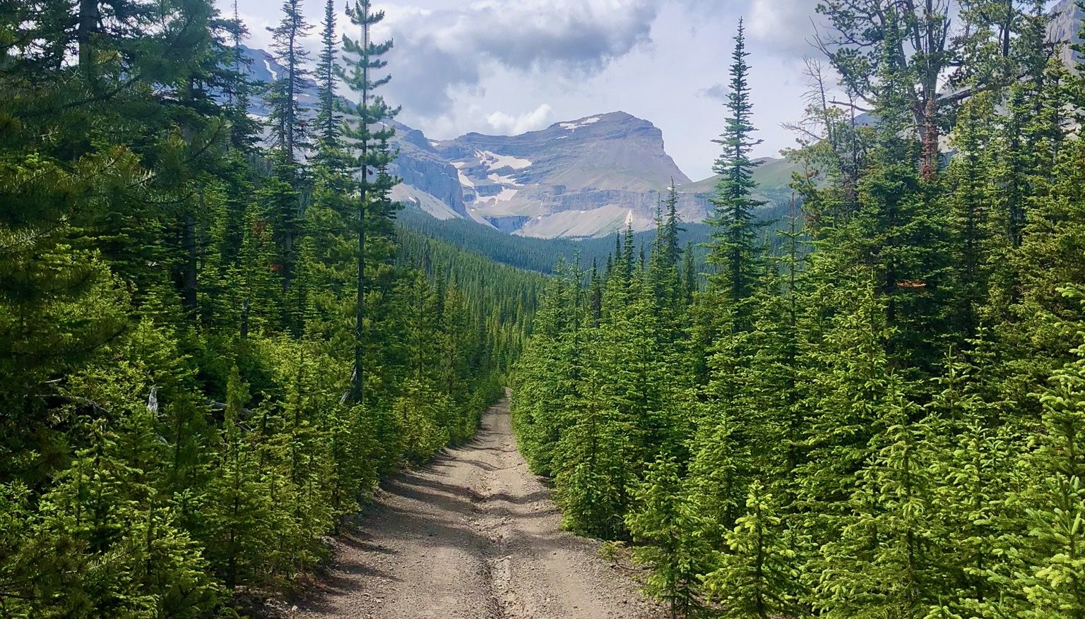
Run the Rockies – mountain range fastpack #5

Canada by train – scenic hikes from Western stations
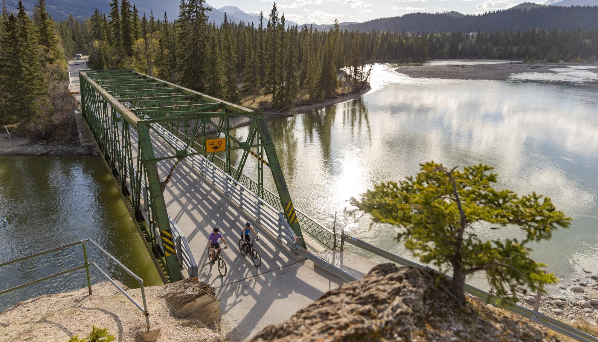
City, forest, river - explore diverse Alberta by bike
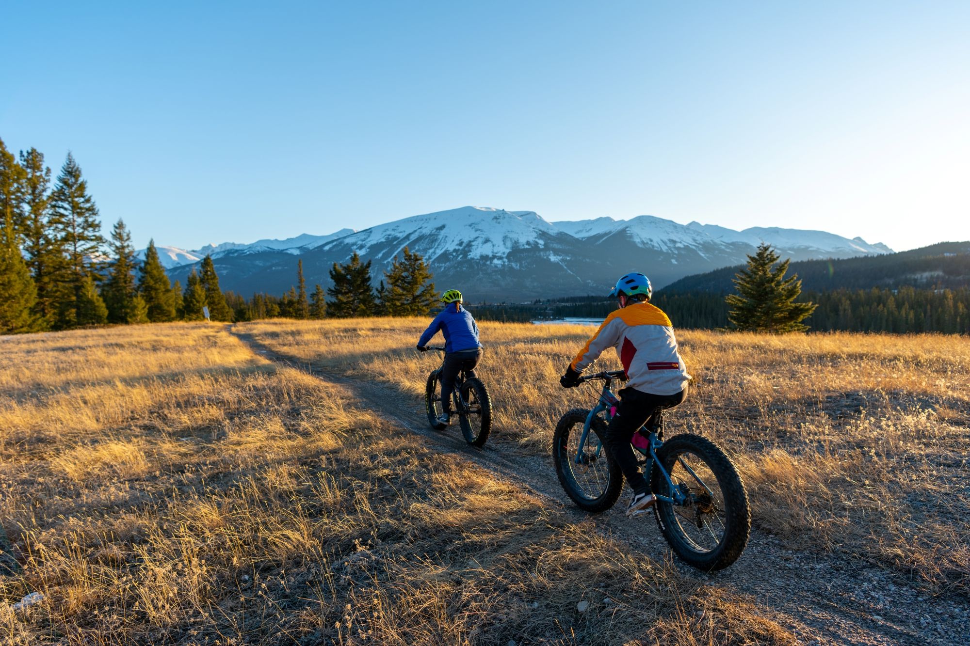
Hop on the trails – mountain biking & fat biking in Alberta
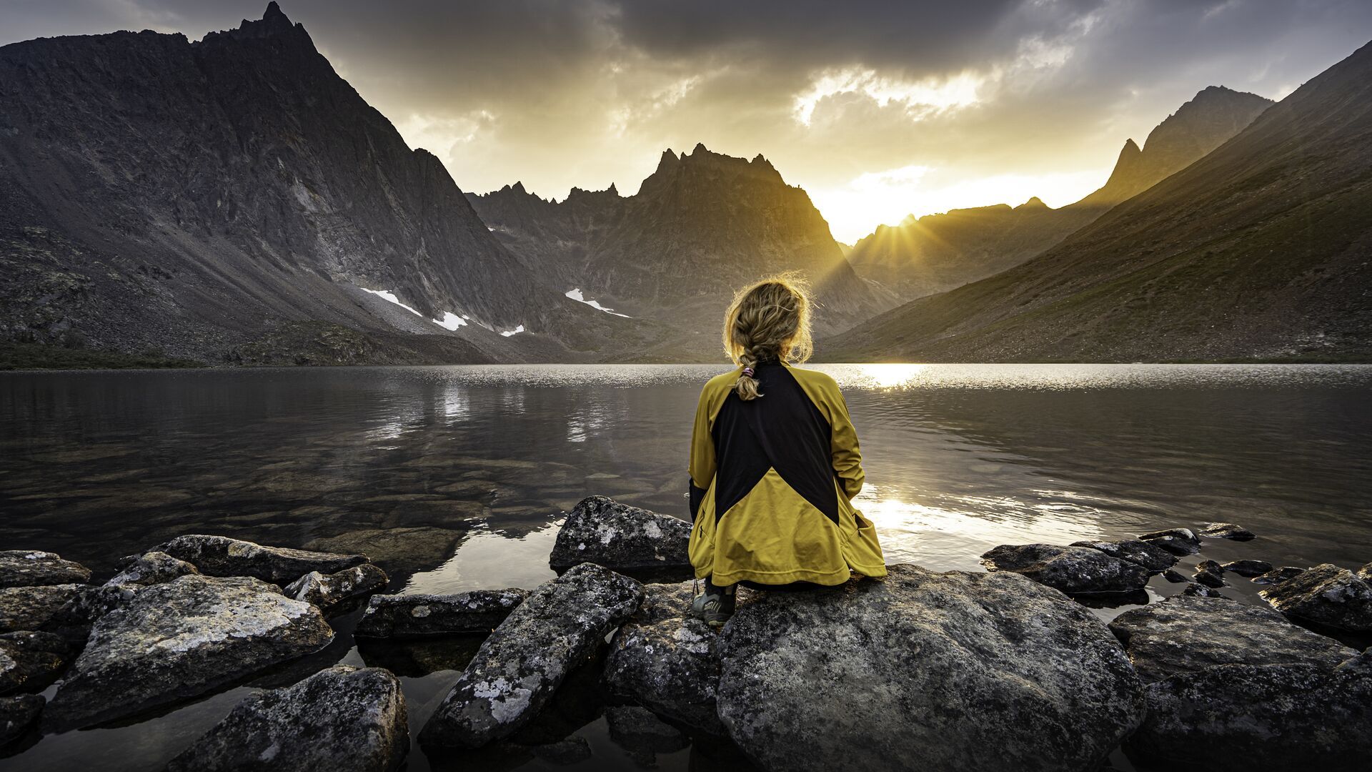
The longest footpath in the world – Trans Canada Trail
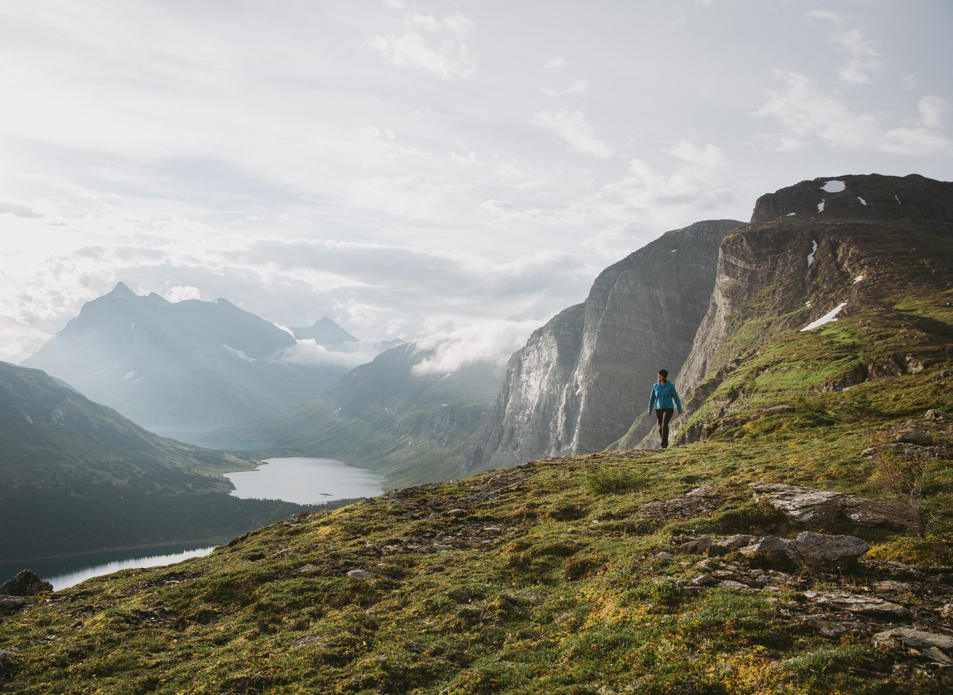
The Great Wilderness – hiking in the vastness of British Columbia
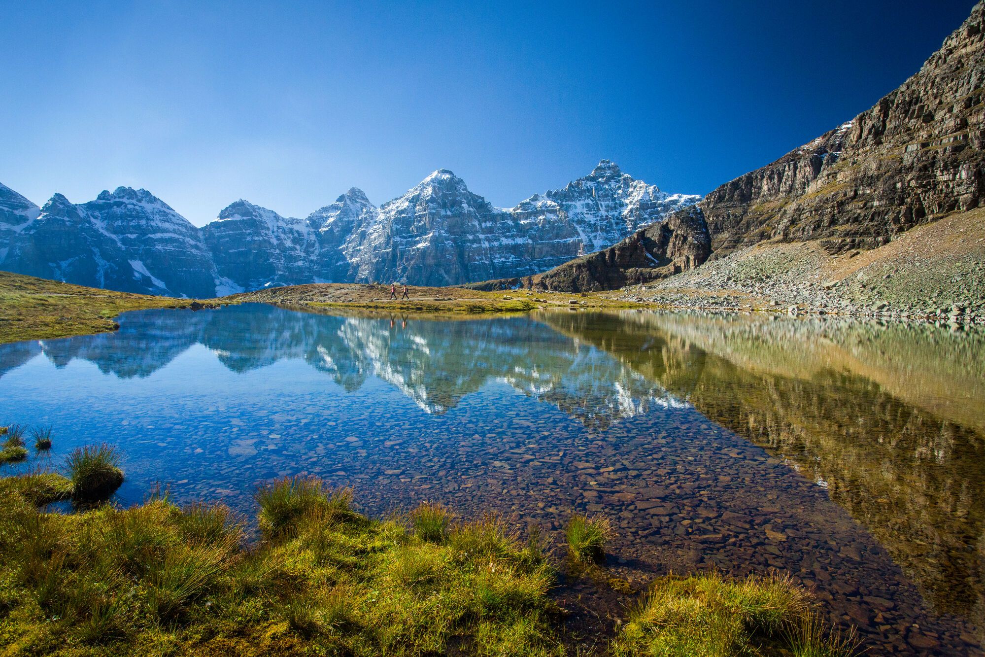
Spectacular road trip hikes – discover Calgary and Southern Alberta
Other adventures in the Rocky Mountains


Tips from the Community


The Timber Harvesting sign is on Highway 66, which stands near the entry points to the Mustang Hills trailheads, explains how public wilderness tourism collides with local forestry operations, reminding hikers where timber cuts reshape the forest scenery and trail borders over time. Highway 66 has a seasonal winter gate closure that blocks motorized access from December 1st through May 14th.
1
0

For those who like to earn their views the Louise Creek Trail offers a great alternative to the busy bus stops and parking lots near the shore of Lake Louise. The trail climbs steeply from Lake Louise Village, tracing its namesake creek back to its source at Lake Louise. Along the way you'll be treated to great views of the creek and surrounding mountains. Though don't expect to catch a breather once you reach the lake, as the view is as likely to take your breath away as the steep trail.
0
0

Situated just minutes from the town of Banff, Cascade Ponds is a popular picnic and walking area at the base of Cascade Mountain. A network of small bridges connects several ponds, creating easy loops with stunning reflections of the surrounding peaks. It’s a favourite spot for families and photographers, especially in early morning or evening light when the water is calm and mirror-like.
0
0
Circling through one of Banff’s most scenic areas, the Minnewanka Loop connects Lake Minnewanka, Two Jack Lake, and Cascade Ponds. The route combines paved sections and forest trails, offering constant views of surrounding peaks and turquoise lakes. It’s a popular area for walking, cycling, and wildlife spotting — especially at dawn or dusk when elk and bighorn sheep are often seen near the roadside.
0
0
One of Canada's most famous locations, Lake Louise (known in the Stoney Nakoda language as Ho-run-num-nay, meaning “Lake of the Little Fishes”) shines with its glacier-fed turquoise waters. The lake serves as a base for hiking, summer canoeing, and winter skiing. With limited parking and shuttle options required during peak season, planning ahead will turn a visit into a memorable encounter with one of the Rockies’ most iconic landscapes. As others have mentioned, it does get very busy, so arriving early is a great way to beat the crowds and enjoy a bit of solitude along the shoreline.
3
0

Well-marked path with art objects that have been cleverly integrated into the natural surroundings.
2
0
I'd rather not recommend it, otherwise even more people will come here. No, really, it's fantastic.
2
0
Frequently Asked Questions
How many road cycling routes are available in the Rocky Mountains?
There are over 35 road cycling routes in the Rocky Mountains, catering to various fitness levels. You'll find a mix of easy, moderate, and challenging rides, with 11 routes rated as easy, 25 as moderate, and 1 as difficult.
What kind of terrain can I expect on road cycling routes in the Rocky Mountains?
Road cycling in the Rocky Mountains features diverse terrain, from high alpine passes to forested valleys. You'll encounter significant elevation gains, with many routes traversing above the tree line. The roads are generally well-paved, winding through pine forests and alongside rivers, offering both challenging climbs and scenic stretches.
Are there any family-friendly road cycling routes in the Rocky Mountains?
Yes, the Rocky Mountains offer several family-friendly options. Routes like the Cascade Ponds loop from Larch are rated as easy and provide a less strenuous ride through scenic areas, suitable for various fitness levels. These routes often feature mostly well-paved surfaces.
What are some scenic viewpoints or landmarks I can see along the road cycling routes?
The Rocky Mountains are rich with stunning views. Along your rides, you might encounter majestic mountain ranges, crystal-clear alpine lakes, and vast forests. Specific highlights include View of Mount Rundle and View of the Canmore Nordic Centre Provincial Park. Iconic drives like Trail Ridge Road and Going-to-the-Sun Road also offer breathtaking panoramas.
Are there any routes that feature waterfalls or gorges?
Yes, the region boasts impressive natural features. You can find routes near stunning waterfalls like Athabasca Falls, Johnston Canyon Waterfalls, and Upper Sunwapta Falls. The Maligne Canyon trailhead is another notable gorge to explore.
What do other road cyclists enjoy most about cycling in the Rocky Mountains?
The area is highly rated by the komoot community, with an average score of 4.7 stars from over 30 reviews. Cyclists often praise the challenging mountain passes, serene alpine lakes, and extensive pine forests. The variety of routes, from easy loops to demanding climbs, is also a significant draw for the more than 2000 road cyclists who have explored the region with komoot.
Are there many circular road cycling routes available?
Yes, many road cycling routes in the Rocky Mountains are designed as loops, offering varied scenery without retracing your path. Examples include the popular Cascade Ponds – Lake Minnewanka Marina loop from Canmore and the Cascade Ponds – Two Jack Lake loop from Banff, which provide moderate rides with beautiful views.
What is the best time of year for road cycling in the Rocky Mountains?
The best time for road cycling in the Rocky Mountains is typically during the summer months, from late spring to early fall, when most high-elevation roads are clear of snow. Early morning rides are often recommended to avoid heavy traffic, especially during peak season. Be prepared for varying weather conditions, as mountain weather can change rapidly.
Are there any challenging climbs for experienced road cyclists?
Absolutely. The Rocky Mountains are renowned for their challenging climbs. Routes like Trail Ridge Road in Rocky Mountain National Park are considered 'bucket-list' climbs, testing even the fittest riders with significant elevation gains. Other demanding routes include Independence Pass and Loveland Pass, offering rewarding experiences for serious cyclists.
What should I know about parking and public transport access for road cycling routes?
While specific parking details vary by trailhead, many popular cycling areas offer designated parking. For routes within national parks, check park websites for current parking regulations and potential fees. Public transport options are generally limited for direct access to trailheads, so planning your own transport is often necessary. Always check local regulations for the specific area you plan to visit.
Can I expect to see wildlife while road cycling in the Rocky Mountains?
The Rocky Mountains are a haven for wildlife, offering opportunities to spot elk, bighorn sheep, moose, deer, and various bird species. Popular spots for viewing include Moraine Park and along Trail Ridge Road. Cyclists should always maintain a safe distance from wildlife and be aware of their surroundings.
Are there any specific mountain passes that are popular for road cycling?
Yes, the Rocky Mountains feature several iconic mountain passes that are popular with road cyclists. While challenging, these passes offer incredible views and a sense of accomplishment. Notable passes include Sentinel Pass, Cory Pass, and Healy Pass, which are often part of longer, more demanding routes.
Most popular routes in the Rocky Mountains
Most popular attractions in the Rocky Mountains

Get inspired with the komoot mobile app


Explore more
Browse the best Road cycling routes in other regions.
