The best walks and hikes around Ponte Dell'Olio
4.3
(663)
2,586
hikers
23
hikes
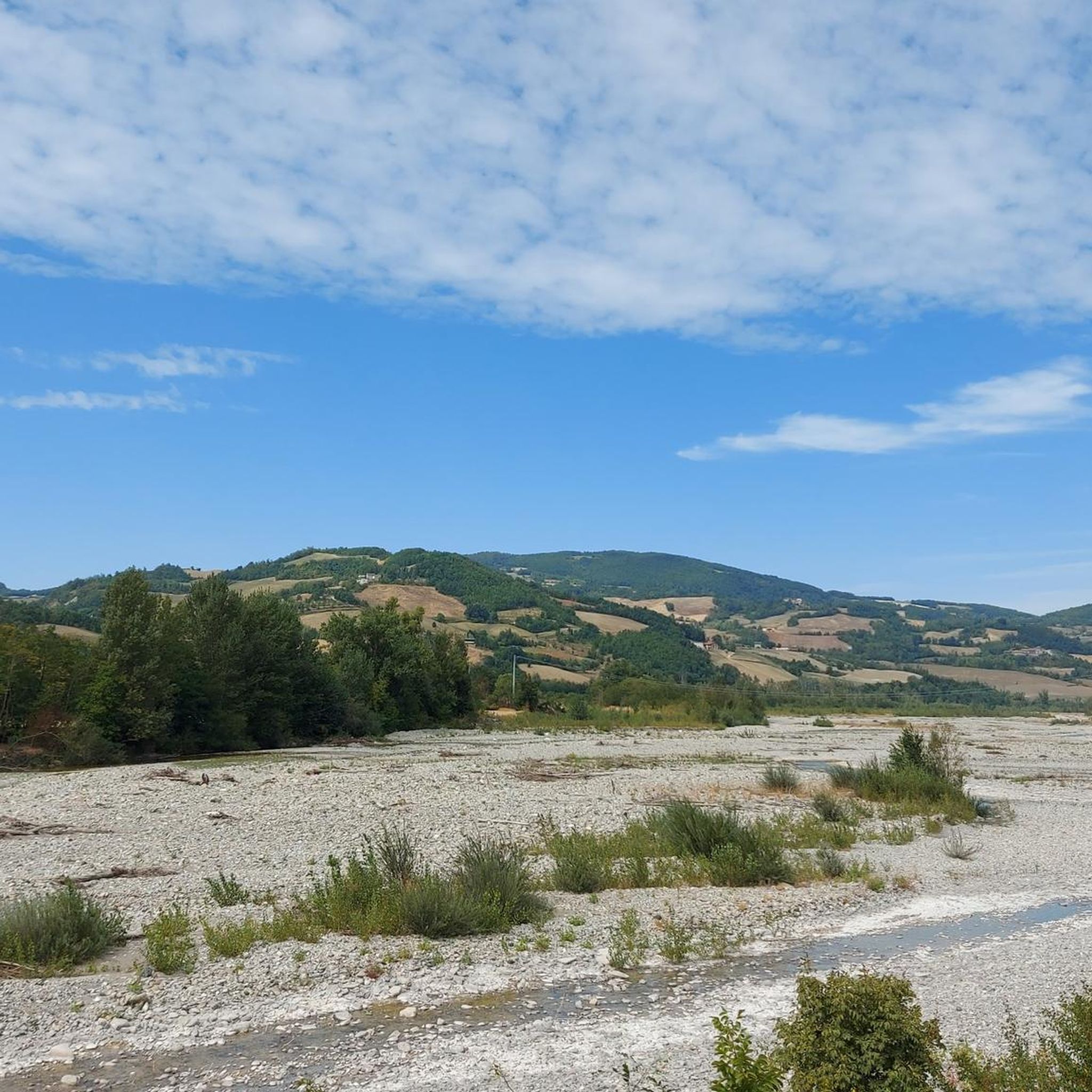
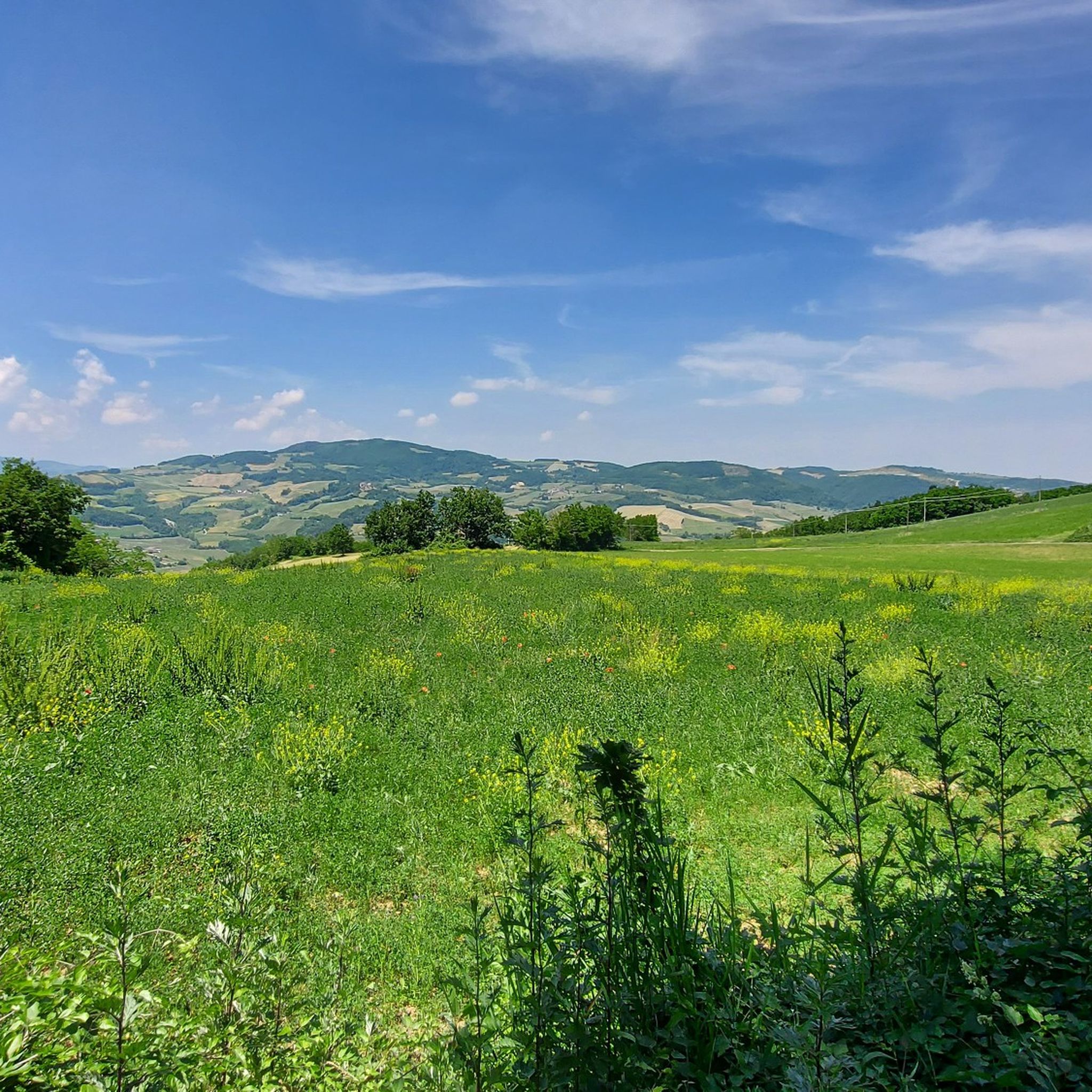
Ponte Dell'Olio hiking routes traverse a diverse landscape characterized by rolling hills, river valleys, and significant peaks. The region is situated between the Nure and Riglio valleys, featuring a hilly terrain that includes elevations like Monte Santo and Monte Denavolo. Hikers can explore peaceful forests, hills adorned with vineyards, and paths along the Nure River. This varied topography provides a range of experiences for outdoor enthusiasts.
Best hiking trails in Ponte Dell'Olio
- The most popular hiking route is From Lugherzano…
Last updated: July 1, 2026
3.4
(10)
34
hikers
12.2km
03:55
530m
530m
Embark on a moderate 7.6-mile (12.2 km) ring tour from Lugherzano to Monte Sant'Anna via Spettine, a hike that typically takes around 3 hours and 55 minutes to complete. You…
4.5
(4)
25
hikers
13.8km
04:20
540m
540m
Moderate hike. Good fitness required. Easily-accessible paths. Suitable for all skill levels.

Sign up for free
4.5
(4)
23
hikers
16.4km
04:44
430m
430m
Moderate hike. Good fitness required. Easily-accessible paths. Suitable for all skill levels.
5.0
(2)
16
hikers
6.62km
01:54
170m
170m
Easy hike. Great for any fitness level. Easily-accessible paths. Suitable for all skill levels.
5.0
(1)
5
hikers
5.77km
01:43
180m
180m
Easy hike. Great for any fitness level. Easily-accessible paths. Suitable for all skill levels.
Get access to more routes and recommendations from other explorers.
Sign up for free
Already have an account?
Our route recommendations are based on thousands of hikes, rides, and runs completed by other people on komoot.
Start today with a free account
Your next adventure awaits.
Login or Signup

Tips from the Community

This side of the hill is characterized by a rapid change in terrain type at every step, you go from the tree-lined path, to the classic path and suddenly you turn the curve and you find yourself overlooking the gullies. They almost look like sand dunes but in the end they are clay rocks eroded by water. The peculiarity is that some are completely almost devoid of vegetation and immediately after you find them covered.
0
0

Trail very ruined by Jeeps and Motorcycles......they made the trail a unique mud... Going around it is the only solution!
0
0

Gullies are a geomorphological phenomenon of soil erosion which occurs due to the runoff effect of rainwater on degraded clayey rocks, with little vegetation cover and therefore poorly protected from runoff: producing deep furrows in the soil along the side of a mountain or of a hill.
2
1

Spettine Castle is located in the territory of the Municipality of Bettola, and is situated on the top of a hillock guarding an ancient link road between the Nure and Trebbia valleys. Originally, the site was fortified by the local Da Spettine family; later, in 1396, the Viscontis bought the castle, which held a primary importance for the control of the territory south of Piacenza.
3
0

Leave the paved road following the old sign in the direction of Monte Sant'Anna,
2
0
From here it is possible to see the tower of the castle of Spettine standing out among the vegetation.
3
0
From here you can admire a splendid panorama of the surrounding valleys. It is also possible to see the gullies: a geomorphological phenomenon whereby the rock is eroded by the waters forming large furrows on the sides of mountains or hills.
4
0
Frequently Asked Questions
How many hiking trails are available around Ponte Dell'Olio?
Ponte Dell'Olio boasts an extensive network of over 220 hiking routes. These trails cater to various fitness levels, ranging from easy strolls to more challenging treks through the region's diverse landscape.
What is the best time of year to go hiking in Ponte Dell'Olio?
The prime seasons for hiking in Ponte Dell'Olio are spring and autumn. During these times, the weather is most favorable for outdoor activities, allowing you to comfortably enjoy the scenic forests, vineyards, and hilly terrain.
Are there any easy hiking trails suitable for beginners or families in Ponte Dell'Olio?
Yes, there are approximately 65 easy routes around Ponte Dell'Olio. A great option for a relaxed walk is the Fallow Deer Farm loop from Ponte dell'Olio, which is about 5.7 km long and takes less than two hours to complete, offering a pleasant experience for families.
Where can I find challenging hikes in the Ponte Dell'Olio area?
For those seeking a challenge, Ponte Dell'Olio offers about 25 difficult hiking routes. These trails often involve more significant elevation changes and longer distances. You can explore routes that ascend to peaks like Monte Santo or Monte Denavolo for a more strenuous experience.
What kind of natural landmarks or viewpoints can I expect to see on the trails?
The region is rich in natural features and viewpoints. A prominent landmark is the Monte Denavolo Summit Cross, offering panoramic 360° views. You might also encounter other peaks like Pian del Pozzo or Croce dei Segni, as well as unique natural monuments such as the Devil Piplon Rock and the Calanchi of Piacenza.
Are there any circular hiking routes around Ponte Dell'Olio?
Yes, many trails in Ponte Dell'Olio are designed as circular routes, allowing you to start and end in the same location. An example is the moderate From Lugherzano to Monte Sant'Anna via Spettine – ring tour, which covers about 12.2 km and offers varied terrain.
What do other hikers say about the trails in Ponte Dell'Olio?
The hiking trails in Ponte Dell'Olio are highly regarded by the komoot community, with an average rating of 4.3 out of 5 stars from over 500 reviews. Hikers often praise the diverse landscape, the peaceful forests, and the well-maintained paths that lead through vineyards and along the Nure River.
Are there any historical sites or cultural attractions to see while hiking?
Absolutely. Hiking in Ponte Dell'Olio offers a journey through history. The region is dotted with ancient villages, medieval churches, and castles. For instance, the Fallow Deer Farm – Montesanto Tower loop from Ponte dell'Olio takes you past the Montesanto Tower, blending natural beauty with historical elements.
Is it possible to hike with dogs in Ponte Dell'Olio?
While specific regulations for dogs on every trail may vary, generally, the natural environment of Ponte Dell'Olio is welcoming to dogs. It's always recommended to keep your dog on a leash, especially in agricultural areas or near wildlife, and to clean up after them. There are no specific restrictions mentioned for the trails themselves.
Are there any trails that offer views of vineyards or the Nure River?
Yes, the countryside around Ponte Dell'Olio is characterized by hills adorned with vineyards and the presence of the Nure River. Many routes, such as the Vigneti Uccellaia – Black Horse at the Ranch loop from Villò, offer scenic views of these agricultural landscapes and natural waterways, providing a picturesque hiking experience.
What is the typical duration for a moderate hike in Ponte Dell'Olio?
Moderate hikes in Ponte Dell'Olio can vary in length and duration. For example, the From Lugherzano to Monte Sant'Anna via Spettine – ring tour is about 12.2 km and typically takes around 3 hours and 55 minutes, while the Mandrola – Monte Denavolo Summit Cross loop from Carmiano, at 14.3 km, usually takes about 4 hours and 17 minutes.
Are there options for food and accommodation near the hiking trails in Ponte Dell'Olio?
Ponte Dell'Olio and its surrounding villages offer various options for refreshments and accommodation. You'll find local cafes, pubs, and restaurants where you can enjoy regional cuisine after your hike. For more detailed information on local amenities, you might find resources on the official tourism website for the area: visitpiacenza.it.
Most popular routes around Ponte Dell'Olio
Most popular attractions around Ponte Dell'Olio

Get inspired with the komoot mobile app


Explore more
Browse the best Hikes in other regions.
