The best walks and hikes around Rinchnach
4.6
(978)
3,786
hikers
95
hikes
Hiking around Rinchnach offers access to the Bavarian Forest, characterized by dense woods and diverse landscapes. The region features the unique Pfahl, a 150 km long quartz rock band, and the picturesque Steinklamm Gorge with its wild stream. Hikers can find trails along rivers like the Rinchnacher Ohe and ascend to various peaks for regional views. This area provides a range of natural features for outdoor activities.
Best hiking trails around Rinchnach
- The most popular hiking route is View of…
Last updated: September 30, 2026
4.5
(55)
184
hikers
Moderate hike. Good fitness required. Easily-accessible paths. Suitable for all skill levels.
4.6
(33)
120
hikers
Moderate hike. Good fitness required. Mostly accessible paths. Sure-footedness required.

4.7
(44)
141
hikers
Moderate hike. Good fitness required. Easily-accessible paths. Suitable for all skill levels.
4.9
(26)
72
hikers
Easy hike. Great for any fitness level. Easily-accessible paths. Suitable for all skill levels.
4.7
(18)
41
hikers
7.90km
02:20
220m
220m
Hard hike. Good fitness required. Sure-footedness, sturdy shoes and alpine experience required.
Get access to more routes and recommendations from other explorers.
Already have an account?
Our route recommendations are based on thousands of hikes, rides, and runs completed by other people on komoot.
Start today with a free account
Your next adventure awaits.
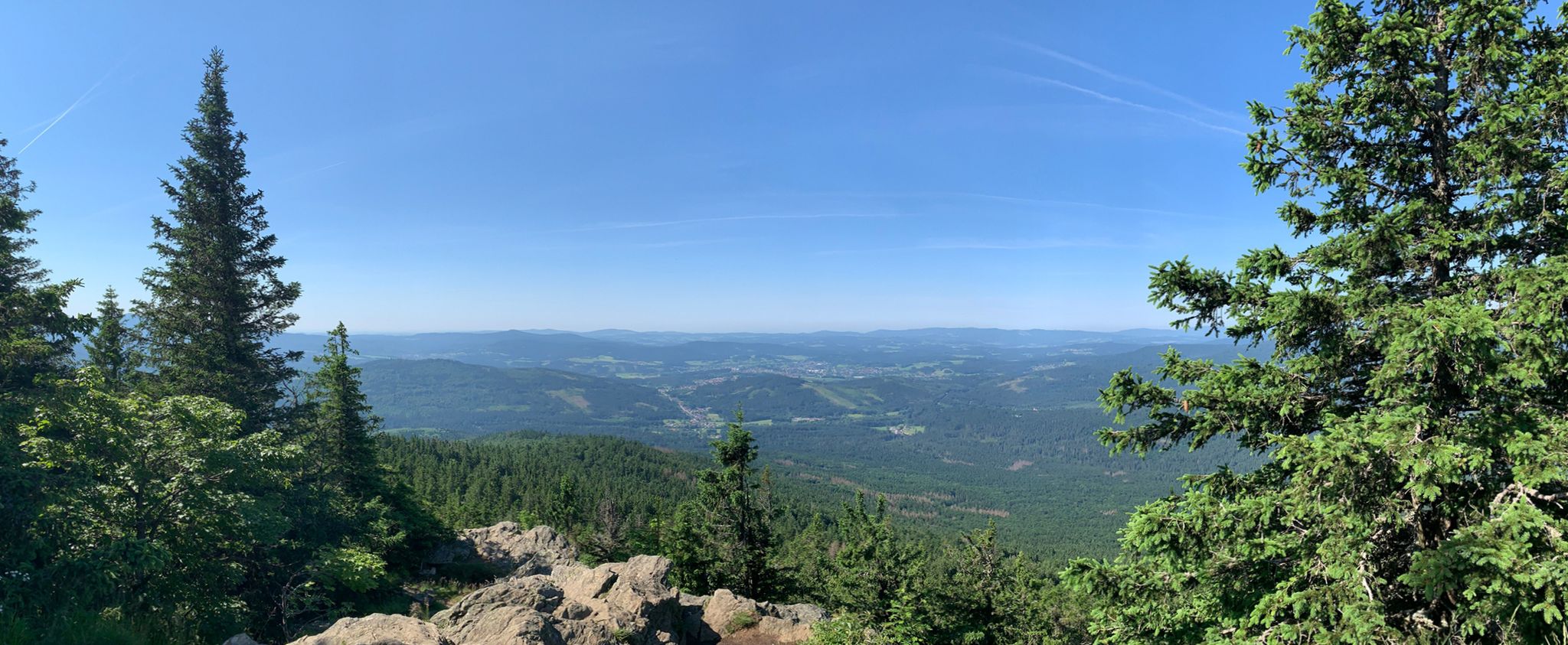
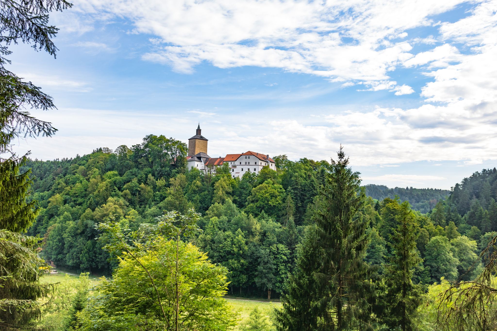
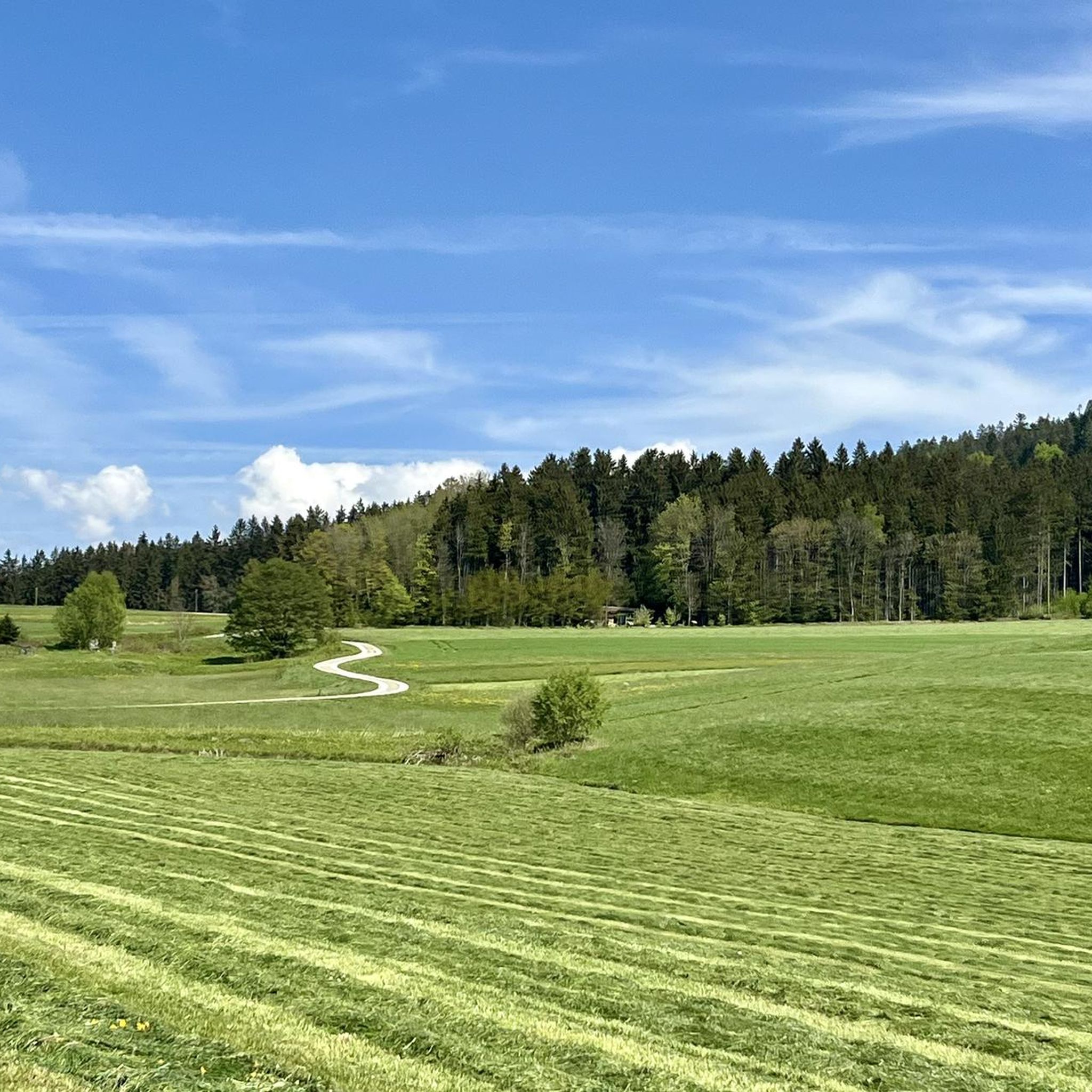
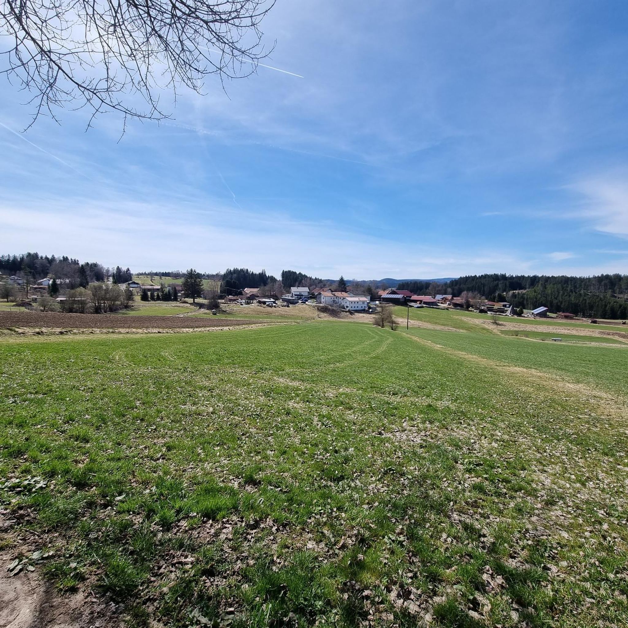
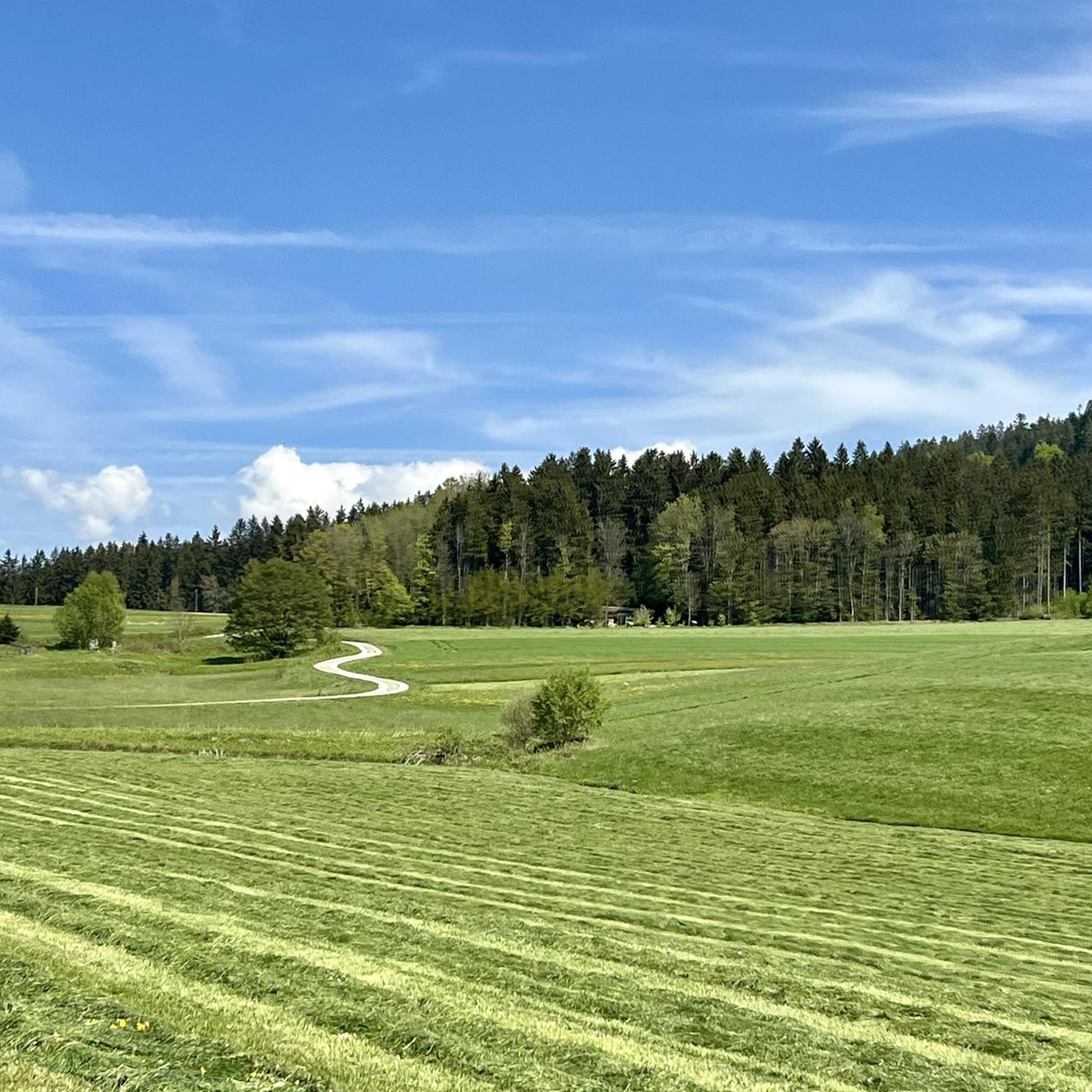
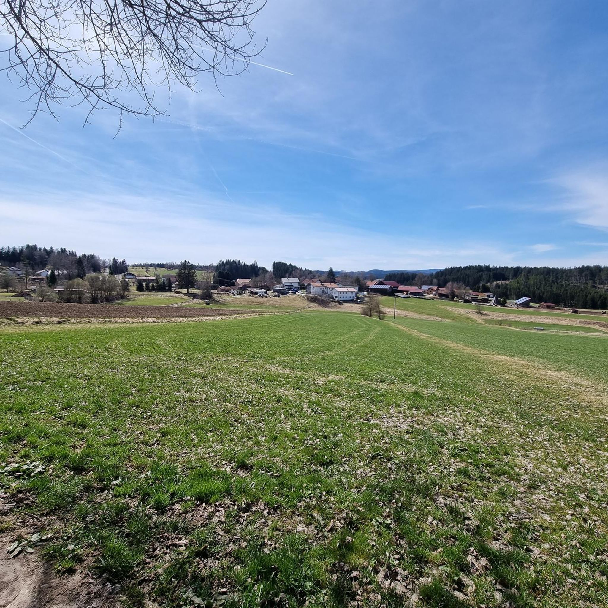
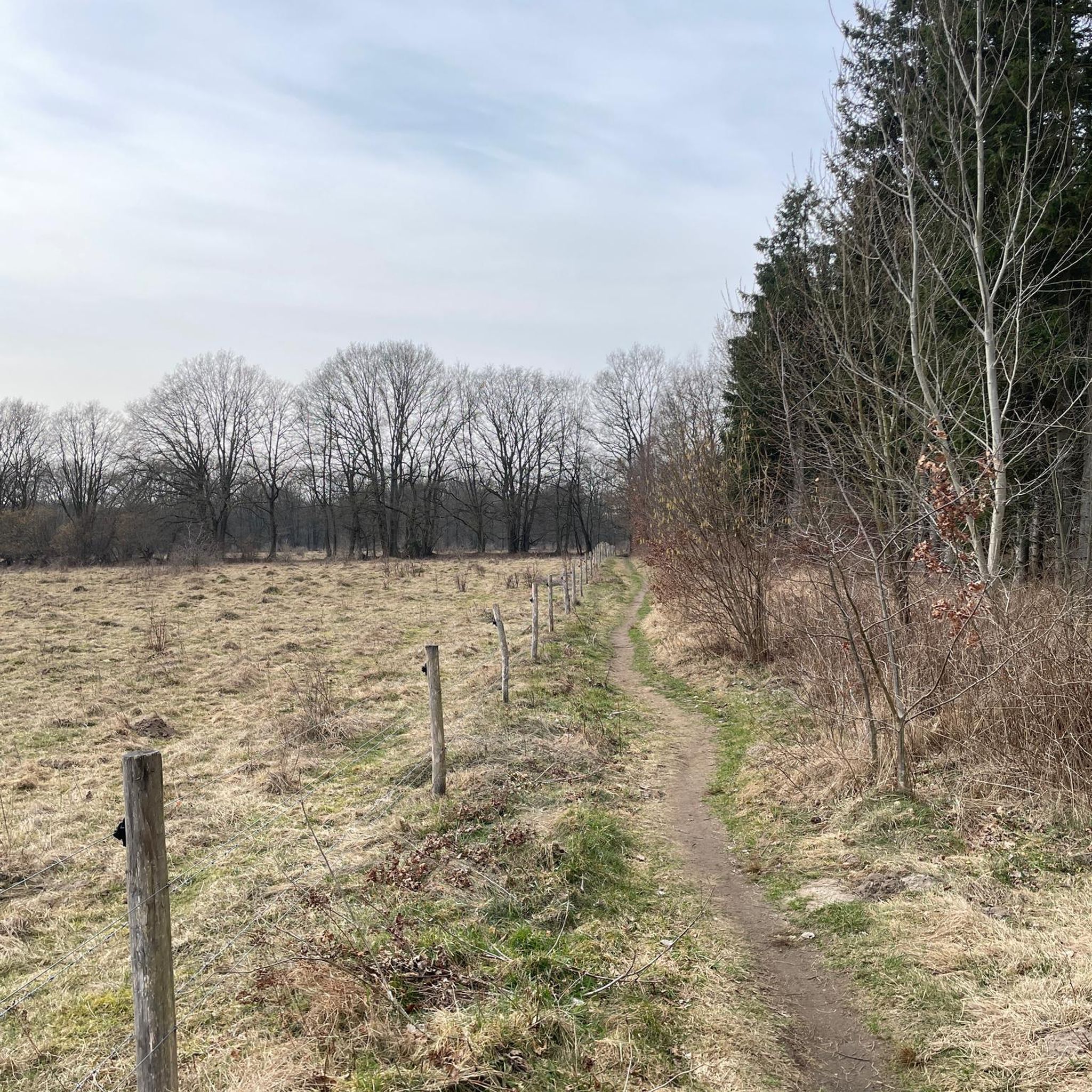
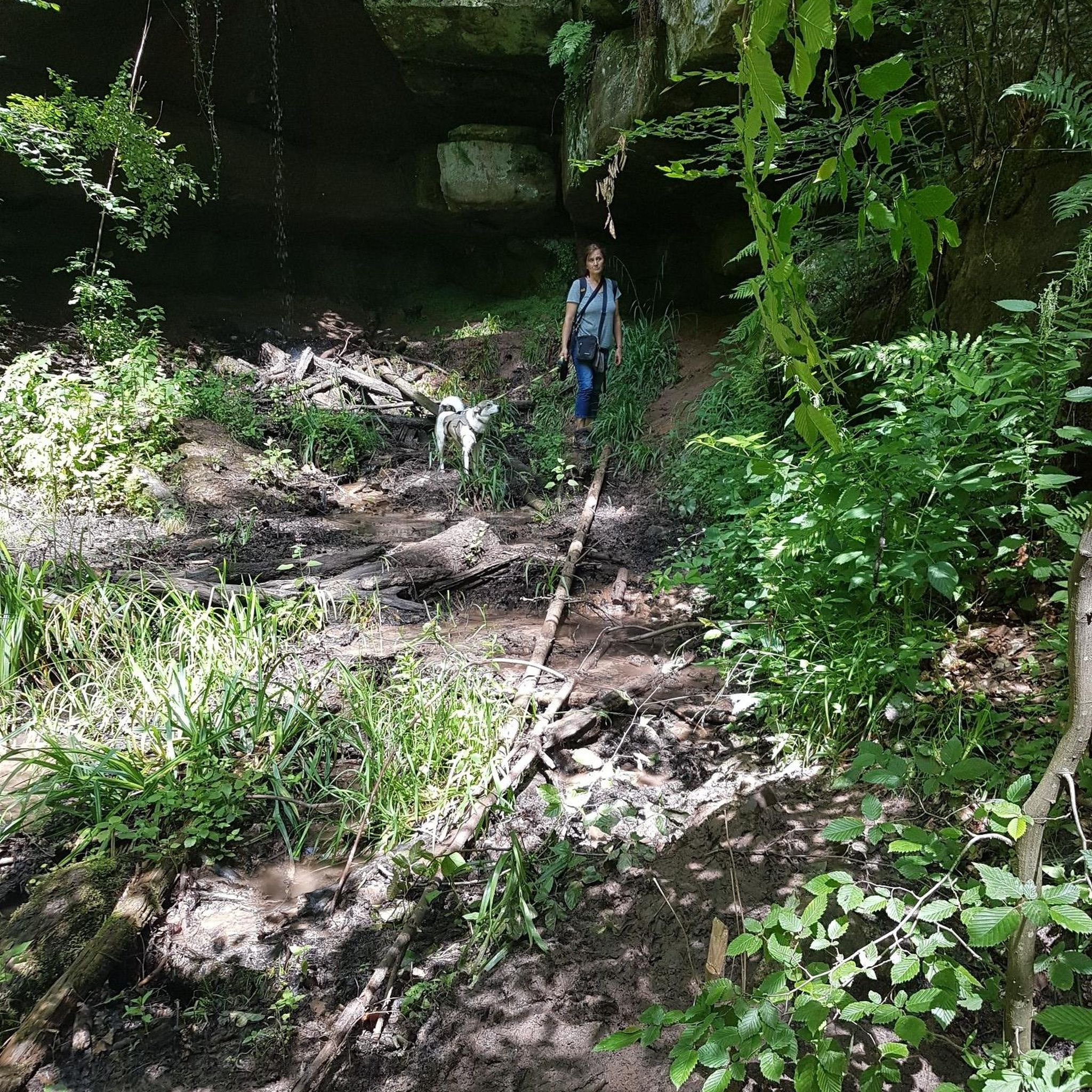


Tips from the Community

Siegfried von Vegesack's grave is a so-called forest grave in the Bavarian Forest. The well-known German writer and translator found his final resting place in a location he had chosen himself.
9
0
The Bayerische Pfahl is a spectacular rift in the Earth's crust, formed about 300 million years ago by massive earthquakes. In many places, the formation rises from the landscape like a white wall or cliff. The Pfahlfelsen near Weißenstein have been under nature protection since 1940. They offer a protected habitat for rare, heat-loving animals and plants.
8
0

The summit cross is not immediately visible at first glance :)
0
0
The benches in the hut are ideal for a longer break, for example if the weather surprises you negatively. :)
0
0
Quiet hotel with Bavarian culinary specialties, sauna and hiking trails right from the doorstep.
0
0
Cozy country inn in a central location, in a small village with a great history.
0
0

With trash can and dog waste bag dispenser! Great!
0
0

Café Fledermaus is like a little journey back in time – cozy, charming, and with a touch of nostalgia. Sitting on the first floor overlooking the village square, you're almost in an old friend's living room. The homemade cakes and tarts are simply divine – probably the best for miles around! The owner is warm and relaxed, and the service is friendly and prompt. Especially after a walk along the Bat Trail, this café is the perfect place to stop and enjoy a meal. https://www.rinchnach.de/tourismus/wissenswertes-von-a-z/cafe-fledermaus/
2
0
Frequently Asked Questions
How many hiking trails are available in Rinchnach?
Rinchnach offers a wide network of hiking trails, with over 90 routes available for exploration. These trails cater to various skill levels, from easy walks to more challenging mountain treks.
Are there easy hiking trails suitable for beginners or leisurely strolls?
Yes, Rinchnach has plenty of easy hiking options. There are over 40 easy routes, perfect for beginners or those seeking a relaxed walk. An example is the Bat and Butterfly Playground – Rinchnach Parish Church loop from Rinchnach, which is just over 5 km long and features a unique bat forest playground.
What are some challenging hikes in the Rinchnach area?
For experienced hikers looking for a challenge, Rinchnach offers several difficult routes. One such option is the Gsengetstein Summit – Frauenbrünnl Pilgrimage Chapel loop from Zimmerau bei Rinchnach, a nearly 15 km path with significant elevation gain, leading to a summit and a historic pilgrimage chapel. Another demanding route is the Frauenbrünnl Pilgrimage Chapel – Riedstein Chapel loop from Gehmannsberg.
What unique natural features can I expect to see while hiking in Rinchnach?
Rinchnach is renowned for its diverse natural features. You can explore the expansive Bavarian Forest, walk along the unique 150 km long quartz rock band known as the Pfahl, or discover the picturesque Steinklamm Gorge with its wild stream. The region also offers tranquil walks along rivers like the Rinchnacher Ohe and scenic views from various summits.
Are there any circular hiking routes around Rinchnach?
Many of the hiking trails in Rinchnach are circular, allowing you to start and end at the same point. The View of Burgruine Neunussberg – Weißenstein Castle Ruins loop from Rinchnach is a popular circular route that offers views of historic castle ruins and traverses parts of the Pfahl.
What historical landmarks or attractions can I discover along the trails?
Hikers can encounter several historical and cultural sights. The View of Burgruine Neunussberg – Weißenstein Castle Ruins loop from Rinchnach passes by the impressive Weißenstein Castle Ruins. You might also find charming chapels like the Josefikapelle and Florianskapelle, or the Poet’s Tower (Devouring House) near Weißenstein Castle Ruins.
Are there any family-friendly hiking options in Rinchnach?
Yes, Rinchnach offers options suitable for families. The region features attractions like the 'Zauberwald' (Magic Forest) at Geißkopf with animal figures and fables, and the 'Ameisenstraße' (Ant Road) for interactive sensory experiences. The Bat and Butterfly Playground – Rinchnach Parish Church loop from Rinchnach is also a great choice for families, featuring a unique bat forest playground.
What do other hikers enjoy most about hiking in Rinchnach?
The hiking experience in Rinchnach is highly rated by the komoot community, with an average score of 4.6 stars from over 700 reviews. Hikers often praise the dense Bavarian Forest woodlands, the unique geological formation of the Pfahl, and the scenic river valleys. The variety of routes catering to different ability levels is also frequently highlighted.
Can I find trails with panoramic views in Rinchnach?
Absolutely. Rinchnach and its surroundings offer several points with breathtaking panoramic views. You can enjoy extensive vistas from summits like the Hennenkobel Summit and Viewpoint, or the Geißkopf Summit, which provide views across the Bavarian Forest and towards the Großer Arber. The Viewpoint with bench and cross – Wagensonnriegel summit cross loop from Zimmerau bei Rinchnach is another route known for its scenic outlooks.
Are there any long-distance hiking trails that pass through Rinchnach?
Yes, Rinchnach is a point of interest for long-distance hikers. The renowned Pandurensteig passes through the area, with specific stages like the 4th stage from Patersdorf to Rinchnach and the 5th stage from Rinchnach to Spiegelau. The Goldsteig hiking trail and the historical Gunthersteig also traverse the region, offering extensive multi-day trekking opportunities.
What is the best time of year to go hiking in Rinchnach?
Rinchnach is particularly appealing for hiking in spring and autumn. During these seasons, the weather is generally pleasant, and the natural scenery, with blooming flowers or vibrant fall foliage, enhances the hiking experience. However, the region offers year-round outdoor activities, including winter hiking and cross-country skiing.
Most popular routes around Rinchnach
Most popular attractions around Rinchnach

Get inspired with the komoot mobile app


Explore more
Browse the best Hikes in other regions.
