The best gravel rides around Rinchnach
4.6
(81)
480
riders
60
rides
Gravel biking around Rinchnach offers routes through the Bavarian Forest, characterized by dense woodlands, river valleys, and reservoir areas. The terrain includes varied elevations, ranging from gentle slopes to more challenging climbs. This region provides a network of paths suitable for exploring natural landscapes on a gravel bike.
Best gravel bike trails around Rinchnach
- The most popular gravel bike trail is Frauenau Drinking Water Reservoir – Frauenau Drinking Water Reservoir loop from Bettmannsäge, a 30.9 miles (49.7 km) trail…
Last updated: September 27, 2026
4.6
(5)
32
riders
Hard gravel ride. Very good fitness required. Mostly paved surfaces. Suitable for all skill levels.
4.6
(5)
29
riders
Hard gravel ride. Very good fitness required. Mostly paved surfaces. Suitable for all skill levels.

4.0
(1)
9
riders
41.2km
03:11
1,160m
1,160m
Hard gravel ride. Very good fitness required. Mostly paved surfaces. Suitable for all skill levels.
8
riders
Hard gravel ride. Very good fitness required. Mostly paved surfaces. Suitable for all skill levels.
4.5
(2)
11
riders
23.4km
01:31
370m
370m
Moderate gravel ride. Good fitness required. Mostly paved surfaces. Suitable for all skill levels.
Get access to more routes and recommendations from other explorers.
Already have an account?
Our route recommendations are based on thousands of hikes, rides, and runs completed by other people on komoot.
Start today with a free account
Your next adventure awaits.


Tips from the Community

The state border between Germany and the Czech Republic runs right through the railway facilities and the station building. The station therefore has two postal addresses: Bahnhofstraße 54, Bayerisch Eisenstein and Debrník 30, Železná Ruda. Very interesting to look around there!
1
0

The border station Železná Ruda-Alžbětín is a historic building in Europe, with the state border between Germany and the Czech Republic running right through the station building. It was built in 1877 as a joint station, lost its function due to the Iron Curtain during the Cold War, and has served again as an active, touristically significant railway hub in the Bavarian Forest since its reopening in 1991.
11
0
At an altitude of about 850 meters above sea level, there is this wooden hiking hut, open on one side, with a bench as shelter in bad weather. As the hut is located in the national park, overnight stays are strictly forbidden.
8
0
Since 1994, the Bayerischer Localbahn Verein e.V. has operated the Local Railway Museum in Bayerisch Eisenstein. In the locomotive shed with a turntable, visitors can take a tour through the history of Bavarian local railways from 1876 to the present day. Numerous steam, diesel, and electric locomotives, as well as the corresponding wagons, provide an impression of what travel on Bavarian branch lines looked like a hundred years ago. The collection is supplemented by other railway operation utensils - from the historic signal box and signal technology to the water crane for steam locomotives.
10
0
The border station Bayerisch Eisenstein is a historic building of European significance, where the state border between Germany and the Czech Republic runs right through the station building. It was built in 1877 as a joint station, lost its function due to the Iron Curtain in the Cold War, and has served again as an active, tourist-oriented railway hub in the Bavarian Forest since its reopening in 1991.
15
0

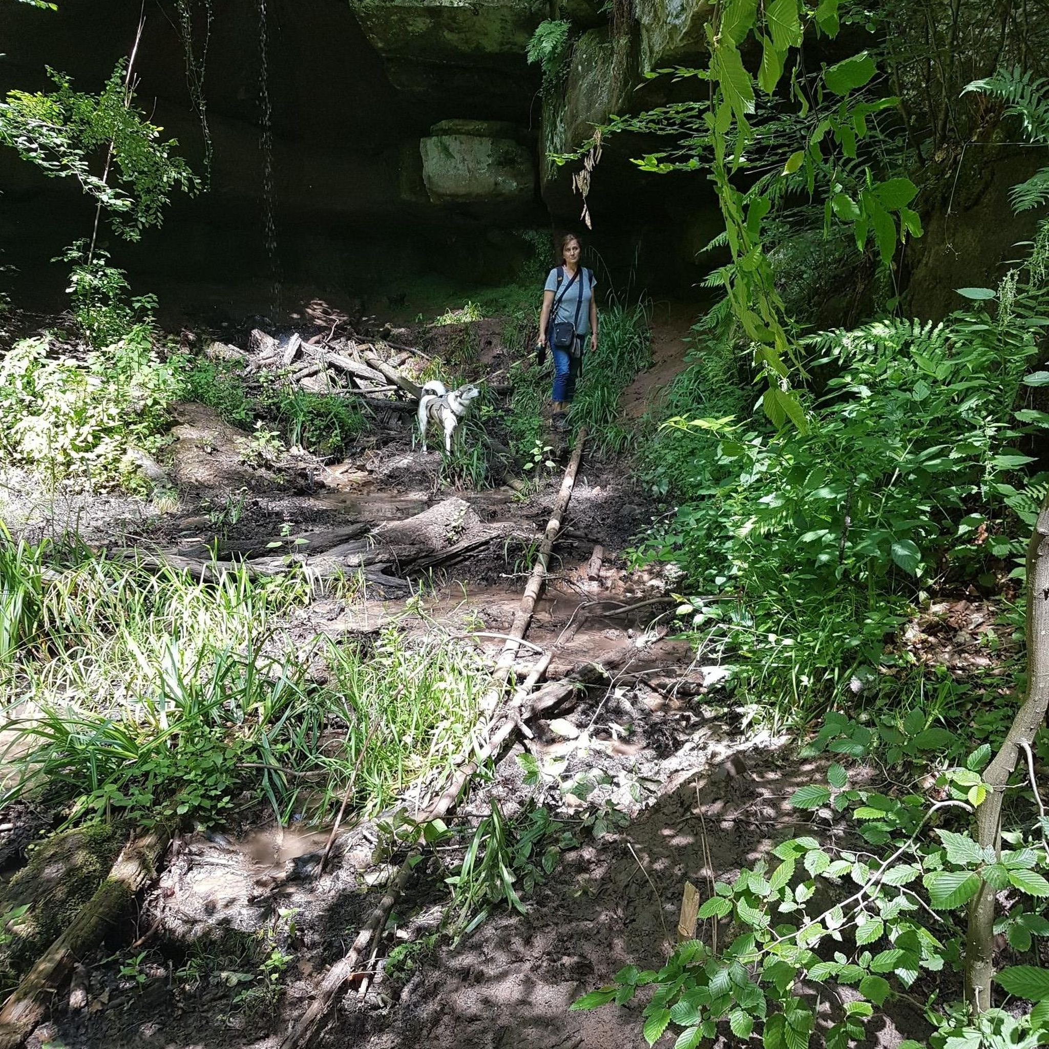
Small waterfall with a bench for resting.
1
0

Frequently Asked Questions
How many gravel bike trails are available around Rinchnach?
Rinchnach offers a comprehensive network of over 75 gravel bike routes. These trails vary in difficulty, providing options for both moderate and experienced riders looking to explore the Bavarian Forest.
Are there any easy gravel bike trails in Rinchnach suitable for beginners?
Currently, the gravel biking network around Rinchnach primarily features moderate and difficult trails, with no easy routes specifically listed. Riders should be prepared for varied elevations and challenging sections.
What are the typical distances and durations for gravel bike routes in Rinchnach?
Gravel bike routes in Rinchnach vary significantly. For example, the Up close to the Großer Regen – Trifter Inn Schwellhäusl loop from Lichtenthal is a moderate 20.7 miles (33.4 km) route, typically taking around 2 hours 6 minutes. Longer, more challenging rides like the Frauenau Drinking Water Reservoir – Frauenau Drinking Water Reservoir loop from Bettmannsäge cover about 30.9 miles (49.7 km) and can take nearly 3 hours.
Are there challenging gravel bike routes for experienced riders in Rinchnach?
Yes, Rinchnach is well-suited for experienced gravel bikers, with 59 out of 76 routes classified as difficult. These trails often feature significant elevation gains and technical sections, such as the View of Großer Arber – Chapel on the Großer Falkenstein loop from Lichtenthal, which includes over 1,100 meters of ascent over 25.6 miles (41.2 km).
Can I find circular gravel bike routes in Rinchnach?
Many of the gravel bike routes around Rinchnach are designed as loops, allowing you to start and end at the same point. Examples include the Buchenau Castle – Up close to the Großer Regen loop from Frauenau, a challenging 32.5-mile (52.3 km) circuit, and the moderate Frauenau Reservoir – Frauenau Drinking Water Reservoir loop from Frauenau.
What kind of terrain can I expect on gravel bike trails in Rinchnach?
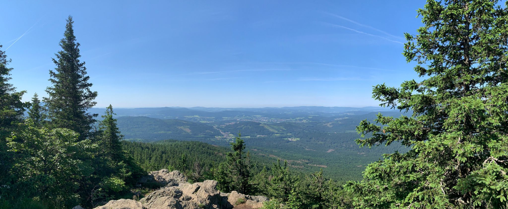
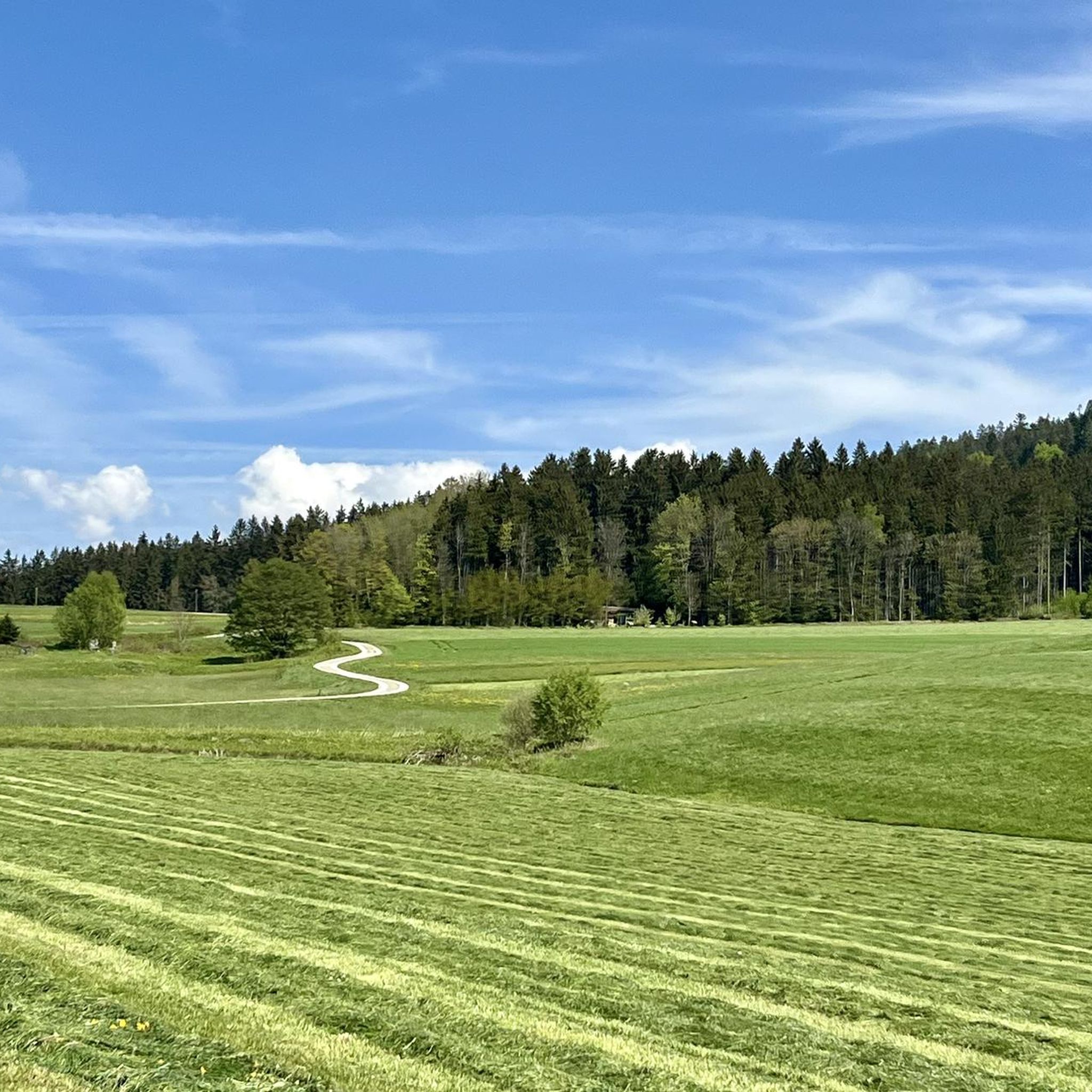
The terrain around Rinchnach is characterized by extensive forest paths, river valleys, and reservoir circuits within the Bavarian Forest. You'll encounter varied elevations, from gentle slopes to more demanding climbs, offering a diverse riding experience.
Are there scenic viewpoints or natural attractions along the gravel bike trails?
Yes, the region offers numerous natural attractions. While riding, you might encounter stunning gorges like the Steinklamm Gorge on the Große Ohe River or enjoy expansive views from various peaks. The trails often pass through dense woodlands and along river sections, providing picturesque scenery.
Where can I find parking for gravel bike trails near Rinchnach?
Many trailheads for gravel bike routes in the Rinchnach area, especially those starting from villages like Bettmannsäge or Lichtenthal, typically offer designated parking areas. It's advisable to check the specific route details on komoot for recommended starting points and parking information.
What is the best season for gravel biking in Rinchnach?
The best seasons for gravel biking in Rinchnach are generally spring, summer, and autumn. During these months, the weather is more favorable, and the trails through the Bavarian Forest are usually in good condition. Autumn offers particularly beautiful scenery with vibrant fall foliage.
What do other gravel bikers say about the trails in Rinchnach?
The gravel biking routes in Rinchnach are highly regarded by the komoot community, holding an average rating of 4.5 stars from over 60 reviews. Riders frequently praise the extensive forest paths, the natural beauty of the river valleys, and the challenging yet rewarding climbs.
Can I combine gravel biking with exploring other attractions in the Rinchnach area?
Absolutely. The Rinchnach area is rich in attractions. You can extend your trip to visit nearby peaks like Großer Rachel Summit or explore the unique geological formations of the Steinklamm Gorge. Many routes offer opportunities to connect with the region's natural and cultural highlights.
Are there routes that pass by cafes or places to stop for refreshments?
While specific cafe stops are not always explicitly marked on every route, many trails pass through or near small villages and towns where you can find local eateries or cafes. Planning your route with komoot allows you to identify potential refreshment points along the way.
Most popular routes around Rinchnach
Most popular attractions around Rinchnach

Get inspired with the komoot mobile app


Explore more
Browse the best Gravel rides in other regions.
