The best mountain hikes around Oncino
4.8
(15)
202
hikers
7
hikes
Mountaineering around Oncino, Italy, offers a challenging alpine environment in the Province of Cuneo, set against the backdrop of the majestic Monviso mountain. The region is characterized by high-altitude routes and compact granite rock, providing diverse opportunities for climbing and alpine exploration. Situated in the Lenta Valley, Oncino features significant elevation changes and technical trails, with the Lenta torrent originating nearby.
Best mountaineering routes around Oncino
- The most popular mountaineering route is Marmots – Passo Luisas loop from Pian della…
Last updated: October 4, 2026
5.0
(3)
48
hikers
8.81km
07:15
1,210m
1,210m
Hard mountaineering route. Very good fitness required. Sure-footedness, sturdy shoes and alpine experience required.
5.0
(2)
27
hikers
8.35km
05:34
930m
930m
Hard mountaineering route. Very good fitness required. Sure-footedness, sturdy shoes and alpine experience required.

5.0
(1)
26
hikers
8.92km
05:55
940m
940m
Hard mountaineering route. Very good fitness required. Sure-footedness, sturdy shoes and alpine experience required.
5.0
(2)
25
hikers
12.1km
07:15
1,310m
1,310m
Hard mountaineering route. Very good fitness required. Sure-footedness, sturdy shoes and alpine experience required.
5.0
(1)
17
hikers
14.1km
07:24
1,270m
1,270m
Hard mountaineering route. Very good fitness required. Mostly accessible paths. Sure-footedness required.
Get access to more routes and recommendations from other explorers.
Already have an account?
Our route recommendations are based on thousands of hikes, rides, and runs completed by other people on komoot.
Start today with a free account
Your next adventure awaits.
Popular around Oncino
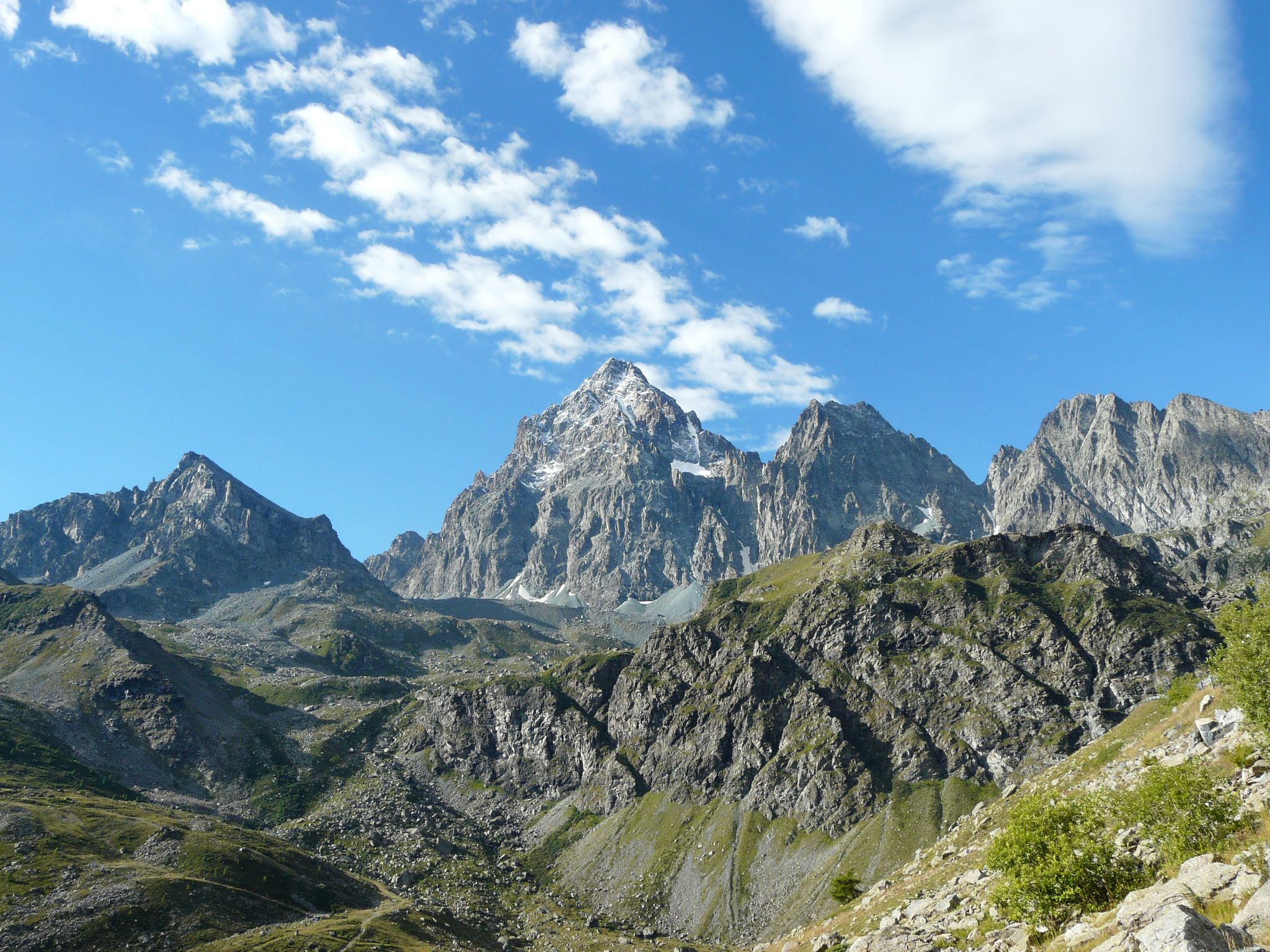
Tour di Viso – Four days around the Stone King from Castello
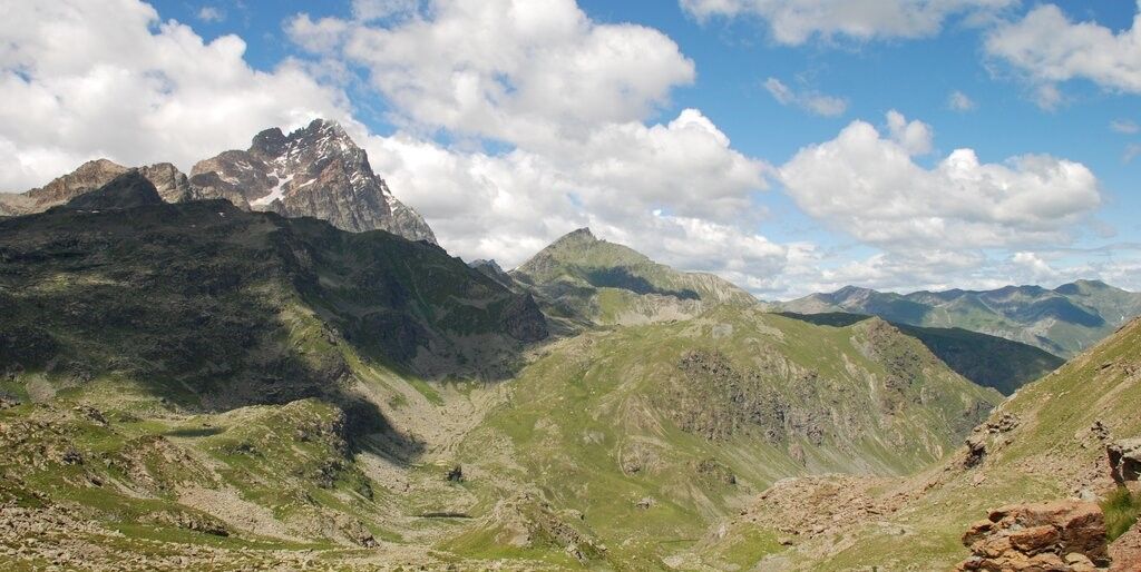
Tour di Viso – Four days around the Stone King from Meire Dacant
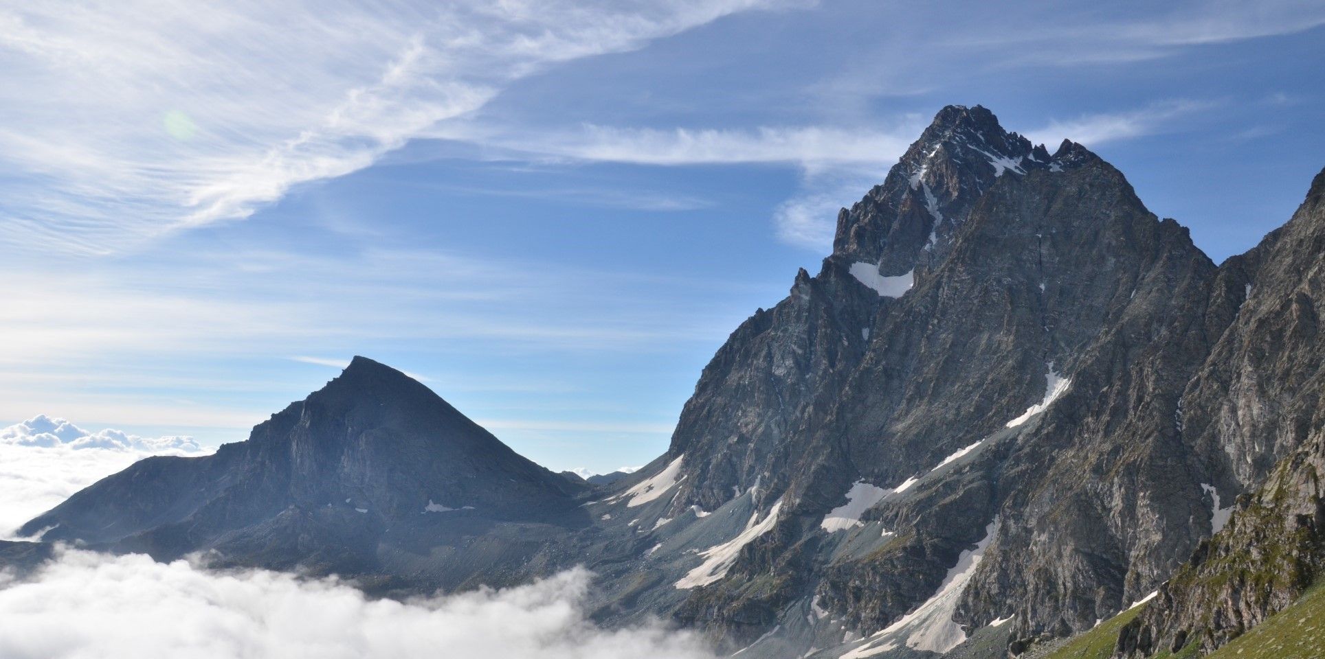
Viso Tour from Castello (variant) – Three days around the Stone King
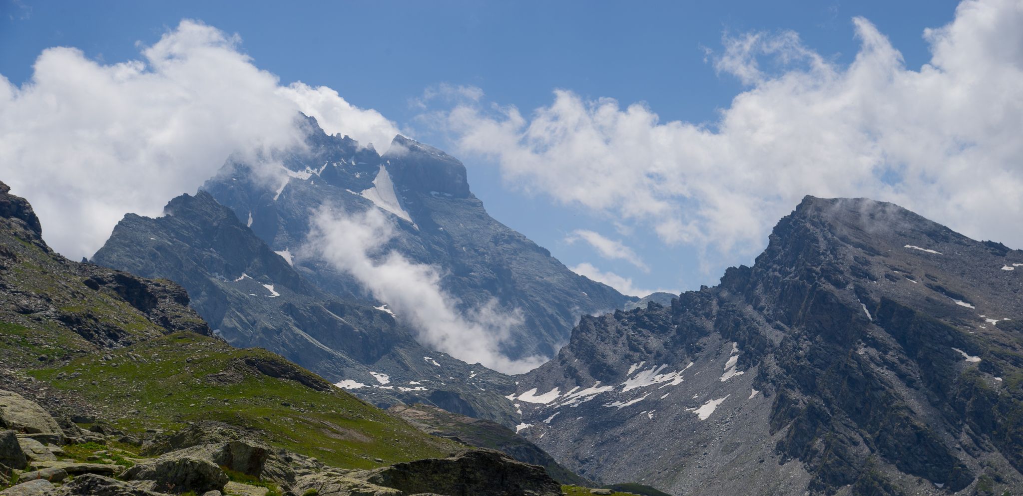
Tour di Viso from Pian del Re – Three days around the Stone King

GTA South Piedmont — Hiking in Italy's Occitan valleys
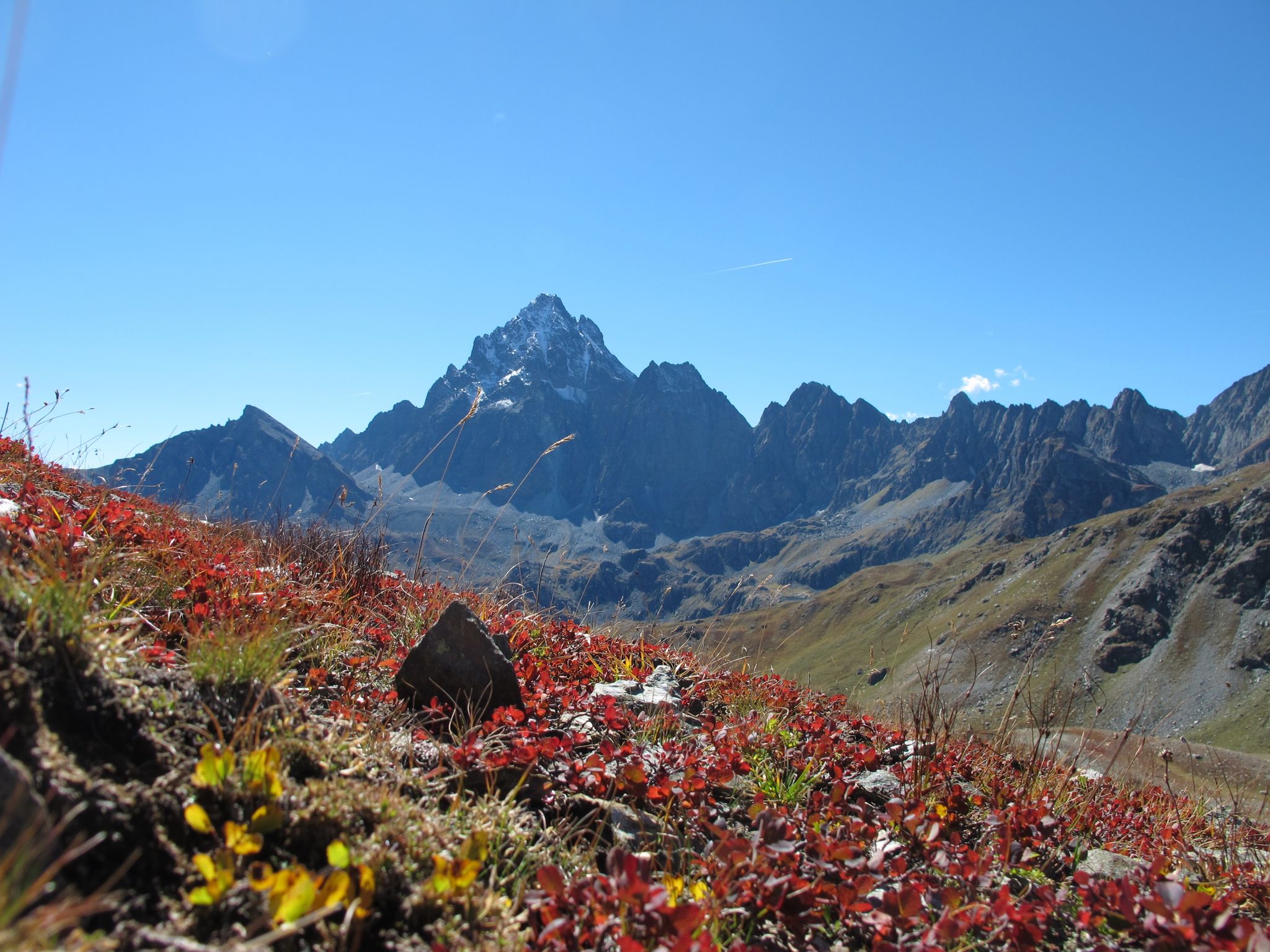
Three days around il Re di Pietra ─ Giro di Viso from Castello
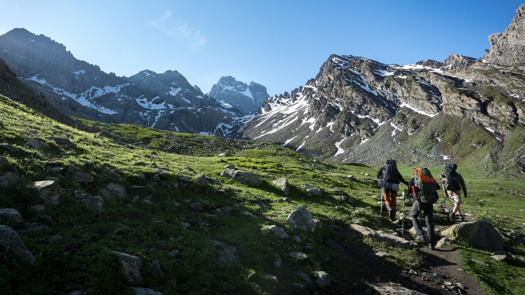
At the foot of the Stone King — hiking around Italy's Mount Viso
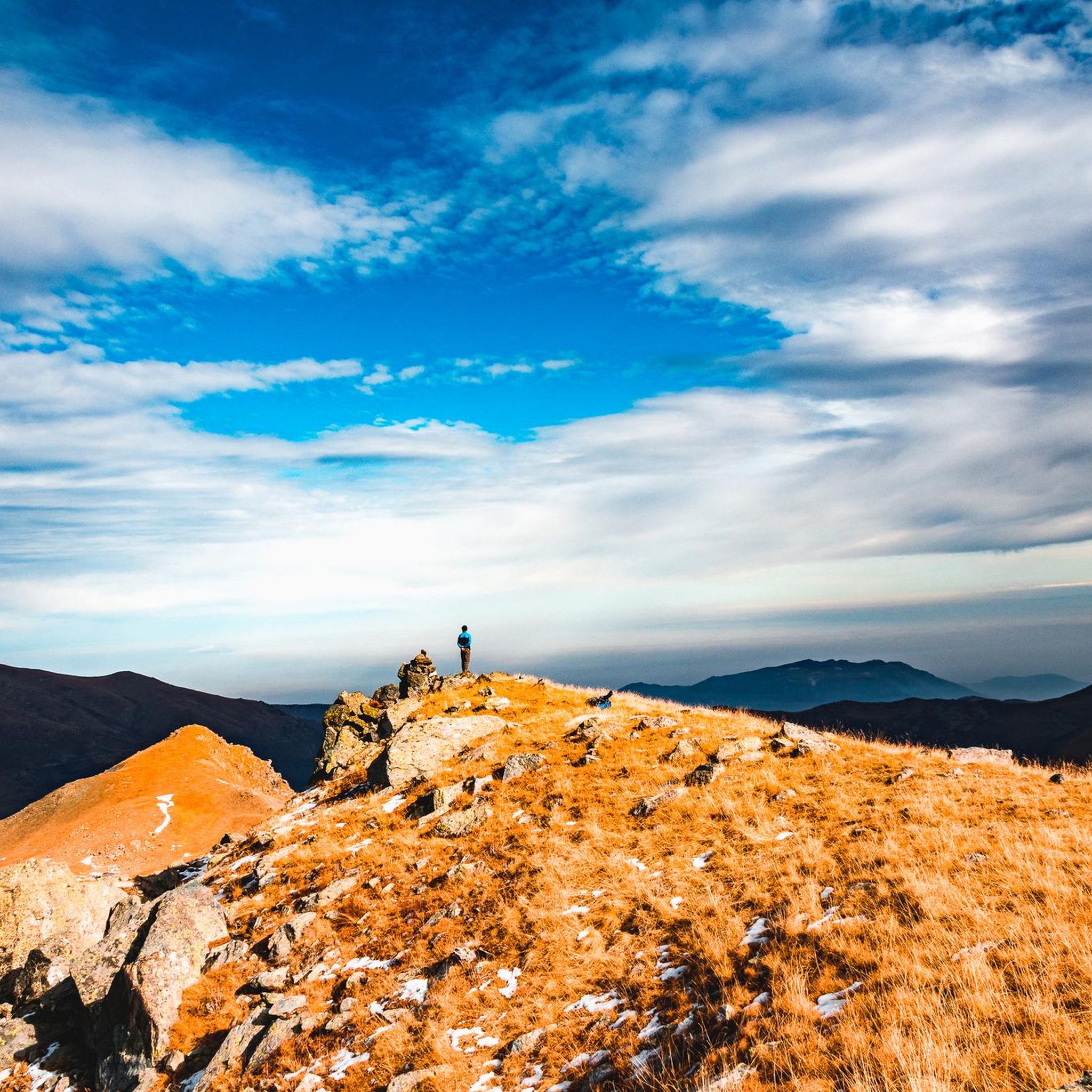
Hiking around Oncino
Road Cycling Routes around Oncino
Cycling around Oncino
Other adventures around Oncino


Tips from the Community

All roads lead to Rome 😎 this one from the Monviso group is particularly beautiful for the environment where it is located and for the spectacular view at the top!! 💥💥💥
0
0

It is located in a very scenic position in front of Monviso, just below Pian del Re
0
0

Beautiful and famous lake easily reachable from Pian del Re and Regina.
1
0

Delicious lunch: Polenta with spezzatino and penne all'amatriciana Lounge chairs for a digestive nap Comfortable toilet seat
1
0

This refuge, dedicated to Vitale Giacoletti, is strategically located for ascents of the adjacent peaks and is one of several so-called Viso refuges, located along the various routes of the Viso. While Punta Losas, east of Giacoletti, offers no technical difficulty, those to the west—Monviso, Pointe de Rome, Pointe d'Udine, and Pointe de Venise—require excellent technical ability. Another beautiful via ferrata is the Col du Coloir du Porc, a pass that separates Pointe d'Udine from Pointe de Venise. From here, you can descend into France to the Viso refuge, then climb back up to Punta delle Traversette and, thanks to the short Buco del Viso tunnel (about 80 meters), return to Pian del Re.
11
0
Alpine church, built and inaugurated in 1899, designed by Giuseppe Gastaldi and frescoed by Giuseppe Catei, commissioned by the parish priest of Crissolo, Don Giacomo Lantermino. On July 28, 1892, Lantermino celebrated a mass at the summit of Monviso in the presence of about forty mountaineers. They urged the parish priest to build a votive chapel dedicated to Our Lady of the Snows at this altitude, where a mass could be celebrated every year. The rocky spur at the base of the Pian del Re plateau, clearly visible from the small village of Pian della Regina, was ultimately chosen as the location. Although the initial plan was to build it at the summit of Mount Re di Pietra, it was later abandoned due to the logistical difficulties of building it up there. The church has a characteristic layout that contrasts with those of most other churches: a façade with an entrance to the east and an apse to the west. This choice was undoubtedly made to make it highly visible from the inhabitants of the village of Crissolo below. It has a rectangular body and a bell gable. The church endured a troubled life in the following decades. In fact, only the following year (1900) the chapel's roof collapsed due to heavy snowfall. It was promptly rebuilt; but in the following decades it underwent various renovations and maintenance, until it was no longer used and fell into abandonment and decay in the 1970s, as well as being the target of vandals on several occasions. Between 2005 and 2007, restoration and repair work was carried out, both inside and out, bringing the church back to its current splendor. The façade and interior are decorated in neo-Gothic style and the roof is made of slate.
9
0

An excellent refuge at the foot of Monviso! Good food, comfortable beds, friendly staff, and wonderful company of ibex!
1
0
grandiose but technical, crossings of fords, scree, via ferrata passes....
0
0
Frequently Asked Questions
How many mountaineering routes can I explore around Oncino?
Oncino offers a selection of 22 mountaineering routes, primarily catering to experienced adventurers. These routes are known for their challenging alpine terrain and significant elevation changes.
What is the general difficulty level of mountaineering routes in Oncino?
The mountaineering routes around Oncino are predominantly challenging. Out of 22 routes, 20 are rated as difficult, with 2 considered moderate. This area is best suited for experienced mountaineers seeking demanding ascents in a high-altitude environment.
Are there any circular mountaineering routes in Oncino?
Yes, several routes around Oncino are circular, allowing you to return to your starting point. For instance, you could try the challenging Marmots – Passo Luisas loop from Pian della Regina, which covers about 14.9 km, or the equally demanding Lac Fiorenza – Viso Mozzo Summit loop from Pian del Re, spanning approximately 15.2 km.
What kind of terrain can I expect on the mountaineering routes near Oncino?
You can expect classic alpine terrain with significant elevation changes and technical trails. The region is characterized by compact granite rock, which also makes it popular for climbing and bouldering. The majestic Monviso mountain provides a constant, impressive backdrop to your adventures.
What are some notable natural features or landmarks I might encounter on these routes?
Mountaineering routes around Oncino often feature stunning alpine landscapes. You might pass by the beautiful Lac Fiorenza on the Lac Fiorenza – Viso Mozzo Summit loop from Pian del Re. The area is also defined by the presence of the Monviso mountain and the Lenta Valley, where the Lenta torrent originates.
Are there any family-friendly hiking options near Oncino, even if not full mountaineering?
While the mountaineering routes themselves are generally challenging, the broader Monviso Park area offers various trails suitable for walks and excursions. For specific family-friendly options, it's advisable to look for less strenuous hiking paths within the valley or lower elevations, as the listed mountaineering routes are quite demanding.
What do other mountaineers say about the routes in Oncino?
The mountaineering routes in Oncino are highly regarded by the komoot community, boasting an impressive average rating of 4.75 stars from over 35 reviews. Users frequently praise the challenging alpine environment, the spectacular views of Monviso, and the sense of accomplishment from tackling these demanding ascents.
What is the best time of year for mountaineering in Oncino?
The best time for mountaineering in Oncino is typically during the summer months when the high-altitude routes are more accessible and free of snow. However, the region also offers opportunities for winter activities like snowshoeing, though mountaineering in winter would require specialized skills and equipment due to challenging conditions.
Are there any other interesting places to explore near Oncino after a mountaineering trip?
Absolutely! You can explore the Pian della Regina Plateau, which is a significant natural attraction. Other nearby points of interest include the Statue of the Virgin Mary at Colle di Sampeyre and the historic Tunnel de la Traversette (Buco di Viso). The area also features charming scattered settlements like Meire Bigorie superiori, known for their rural architecture.
Are there any specific passes or high points I can aim for on a mountaineering route?
Yes, many routes lead to or pass through significant high points. For example, the Bivacco Lino Andreotti – Monviso loop from Monviso offers incredible views of Monviso itself. Another route, Punta Venezia – Lac Supérieur loop from Pian del Re, takes you towards Punta Venezia and past Lac Supérieur.
Is it possible to find routes that offer a mix of sun and shade for climbing or bouldering?
Yes, the climbing areas in Oncino are known for their varied exposure, featuring both south-facing crags and north-facing boulders. This provides flexibility, allowing you to choose spots with sun or shade depending on the season, time of day, and your personal preference.
Most popular attractions around Oncino

Get inspired with the komoot mobile app


Explore more
Browse the best Mountain Hikes & Routes in other regions.
