The best walks and hikes around Sestola
4.5
(1007)
4,397
hikers
76
hikes
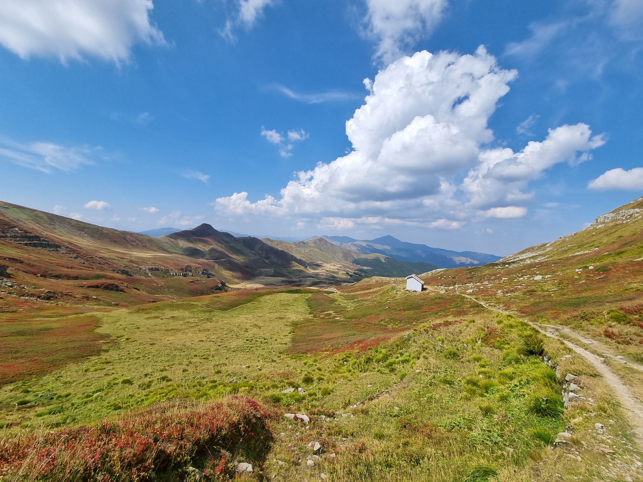
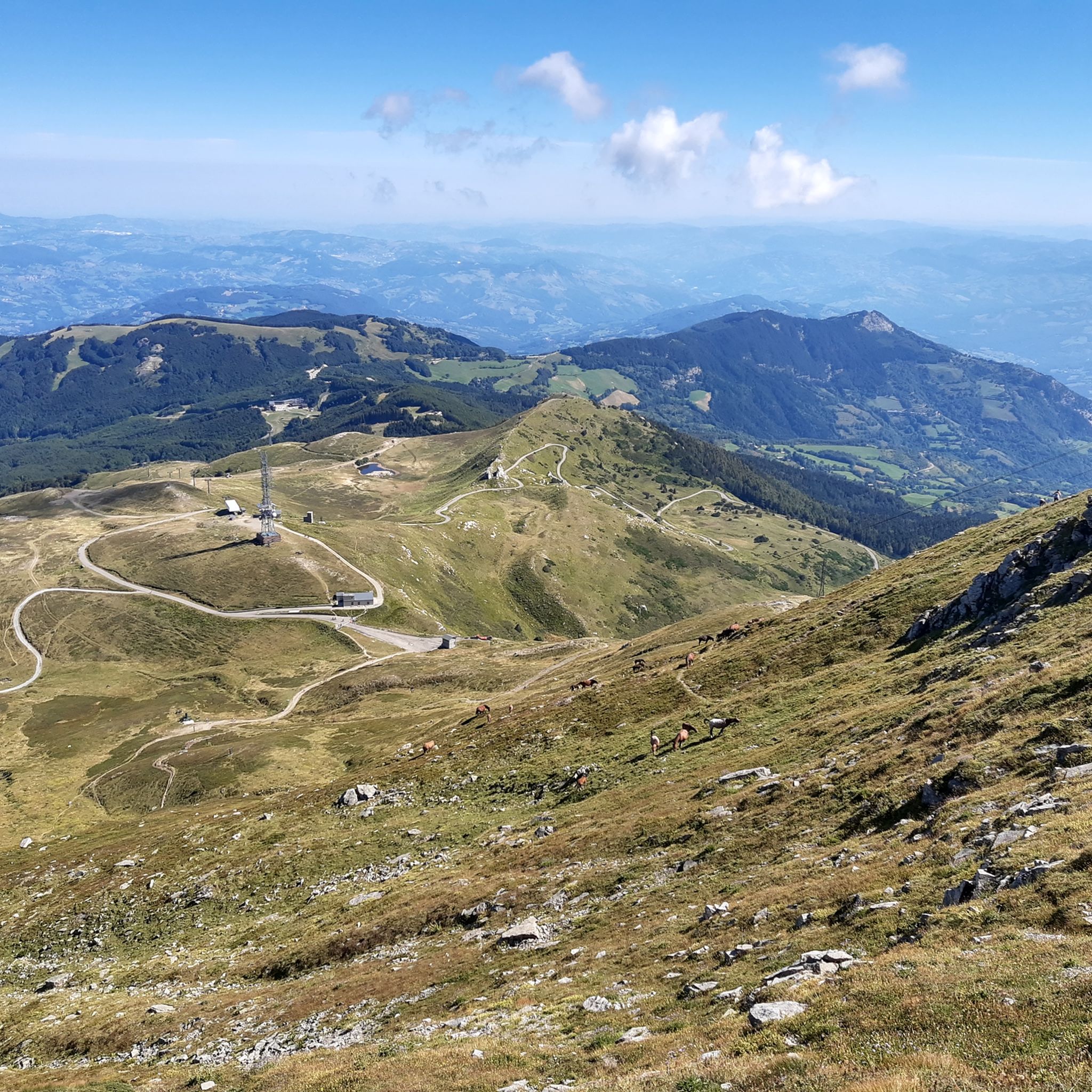
Hiking around Sestola offers diverse landscapes within the Northern Apennines, characterized by significant natural features. The region features Mount Cimone, the highest peak in the Emilia-Romagna region, and the picturesque Lago della Ninfa, a key starting point for many trails. Dense beech and coniferous forests, along with the protected areas of Parco del Frignano, define much of the terrain.
Best hiking trails around Sestola
- The most popular hiking route is Monte Cimone Municipal Trail 11, a 5.3 miles (8.5 km) trail that takes 3 hours 45 minutes to complete. This moderate route offers rewarding challenges and expansive views towards the summit of Mount Cimone.
- Another top favourite among local hikers is From Sestola Castle to Lago della Ninfa (via Route 6), a moderate 8.4 miles (13.5 km) path. This trail journeys through forest paths, providing views of the Apennine valley and passing the historic Sestola Castle.
- Local hikers also love the Monte Cimone Loop from Lago della Ninfa, a 5.4 miles (8.8 km) trail leading through diverse terrain from the scenic lake, often completed in about 3 hours 48 minutes.
- Hiking around Sestola is defined by high Apennine peaks, dense forests, and glacial lakes. The network offers options for various ability levels, from easy strolls around Lago della Ninfa to more strenuous climbs up Mount Cimone.
- The routes in Sestola are highly rated by the komoot community with an average score of 4.6 stars from over 790 reviews. More than 3700 hikers have used komoot to explore Sestola's varied terrain.
Last updated: August 30, 2026
4.6
(61)
234
hikers
8.53km
03:45
600m
600m
Embark on Monte Cimone Municipal Trail 11, a moderate hiking route that takes you from the dense forests near Lago della Ninfa to the exposed, rocky ridgelines of the Northern Apennines. This journey spans 5.3 miles (8.5 km) and involves a significant elevation gain of 1955 feet (596 metres), typically requiring about 3 hours and 45 minutes to complete. As you ascend, the terrain becomes steeper, leading you towards the summit of Monte Cimone, the highest peak in the region.
When planning your visit, be aware that the trail can be challenging, especially the final steep sections to the summit. During cooler months, you should expect snow and ice at higher elevations, so bring appropriate gear like crampons. The summit area is often very windy, and some exposed parts require prior alpine experience. You can refill your water bottle at Fontana Bedini along the way.
From the top of Monte Cimone, on a clear day, you might be rewarded with expansive views that stretch across a third of Italy, potentially including the distant Alps and even the Adriatic Sea. Keep an eye out for local wildlife, as wild horses and marmots are sometimes spotted along the route, adding to the unique character of this high-altitude adventure.
4.7
(40)
218
hikers
8.78km
03:48
610m
610m
Begin your hike from the picturesque Lago della Ninfa, where the Monte Cimone Loop starts its moderate ascent. This 5.5 miles (8.8 km) route takes you through dense pine and beech forests, gradually revealing expansive views as you climb. You will gain 1991 feet (607 metres) over approximately 3 hours and 47 minutes, encountering varied terrain with rocky sections and steep steps. The trail culminates at the Monte Cimone summit, offering a 360-degree panorama where you can spot the distant Alps and both the Adriatic and Tyrrhenian Seas on clear days.
While the trail is clearly marked, it is generally rated for experienced hikers. Exercise extra caution during icy or snowy conditions, especially on the exposed final stretch near the summit. The starting point at Lago della Ninfa provides convenient amenities like bars and restaurants. Parking is also available near the lake, making access straightforward for your adventure.
This challenging route leads you to the highest peak in the Northern Apennines, Monte Cimone, situated within the Parco regionale dell'Alto Appennino Modenese. It offers a rewarding journey for those seeking to explore this significant mountain. The varied landscape, from lush forests to the dramatic Cresta di Gallo, makes this a truly engaging experience.

Sign up for free
4.4
(41)
213
hikers
13.5km
04:45
680m
680m
Embark on a moderate hike from the historic Sestola Castle to the serene Lago della Ninfa. This route, covering 8.4 miles (13.5 km) with an elevation gain of 2232 feet (680 metres), guides you through varied terrain, from shady forest paths to open meadows dotted with wildflowers. You can expect to complete this journey in about 4 hours and 44 minutes, enjoying wide views across the valley as you ascend.
To begin your adventure, you can drive directly to Sestola and access the trailhead from the castle. Alternatively, if you prefer a scenic start, consider taking the chairlift up to Pian del Falco, which offers a different perspective on the initial section of the trail. The route is well-marked as Percorso comunale 6, making navigation straightforward. Plan your visit to allow ample time to enjoy the lake and any stops along the way.
This trail is a highlight in the Tuscan-Emilian Apennines, often called the Pearl of the Apennines. As you hike, you will discover the tectonic Lago della Ninfa, a popular spot for visitors to relax by the water. The welcoming Rifugio Ninfa near the lake provides a perfect place to rest and enjoy some local food. You might also want to explore the nearby Giardino Esperia, a botanical garden with free entry, adding another layer to your mountain experience.
3.9
(8)
38
hikers
7.79km
03:32
620m
620m
Embark on the Monte Cimone Summit Trail from Lago della Ninfa, a moderate hike that takes you through diverse landscapes. You will begin in lush beech and conifer woods, gradually ascending towards open alpine meadows and rocky ridgelines. This 4.8-mile (7.8 km) route involves a significant climb of 2045 feet (623 metres) and typically takes around 3 hours and 31 minutes to complete. Your reward at the Monte Cimone Summit is a sweeping 360-degree panorama, where on clear days you can see as far as the Alps and both the Adriatic and Tyrrhenian Seas.
To start your adventure, you will find convenient parking available at Lago della Ninfa, making it an excellent trailhead. Be aware that as you gain elevation, some sections of the trail become steeper and narrower, entering what is considered "High Mountain" territory. During colder months, snow and ice can make the route riskier, and the summit ridge is often exposed to strong winds. Always check current conditions before you head out to ensure a safe and enjoyable hike.
This trail leads you to the highest peak in the Northern Apennines, offering a truly rich natural experience. The journey from the tranquil lake through varied terrain to the exposed summit provides a unique perspective on the region's geology and ecosystems. It is a notable route for anyone looking to conquer a significant peak with rewarding views.
3.8
(4)
17
hikers
8.80km
03:13
510m
510m
Hike the Monte Rasola loop from Sestola, a moderate 5.5-mile route with 1671 feet of gain and panoramic views of the Apennines.
Get access to more routes and recommendations from other explorers.
Sign up for free
Already have an account?
Our route recommendations are based on thousands of hikes, rides, and runs completed by other people on komoot.
Start today with a free account
Your next adventure awaits.
Login or Signup


Other adventures around Sestola

Tips from the Community

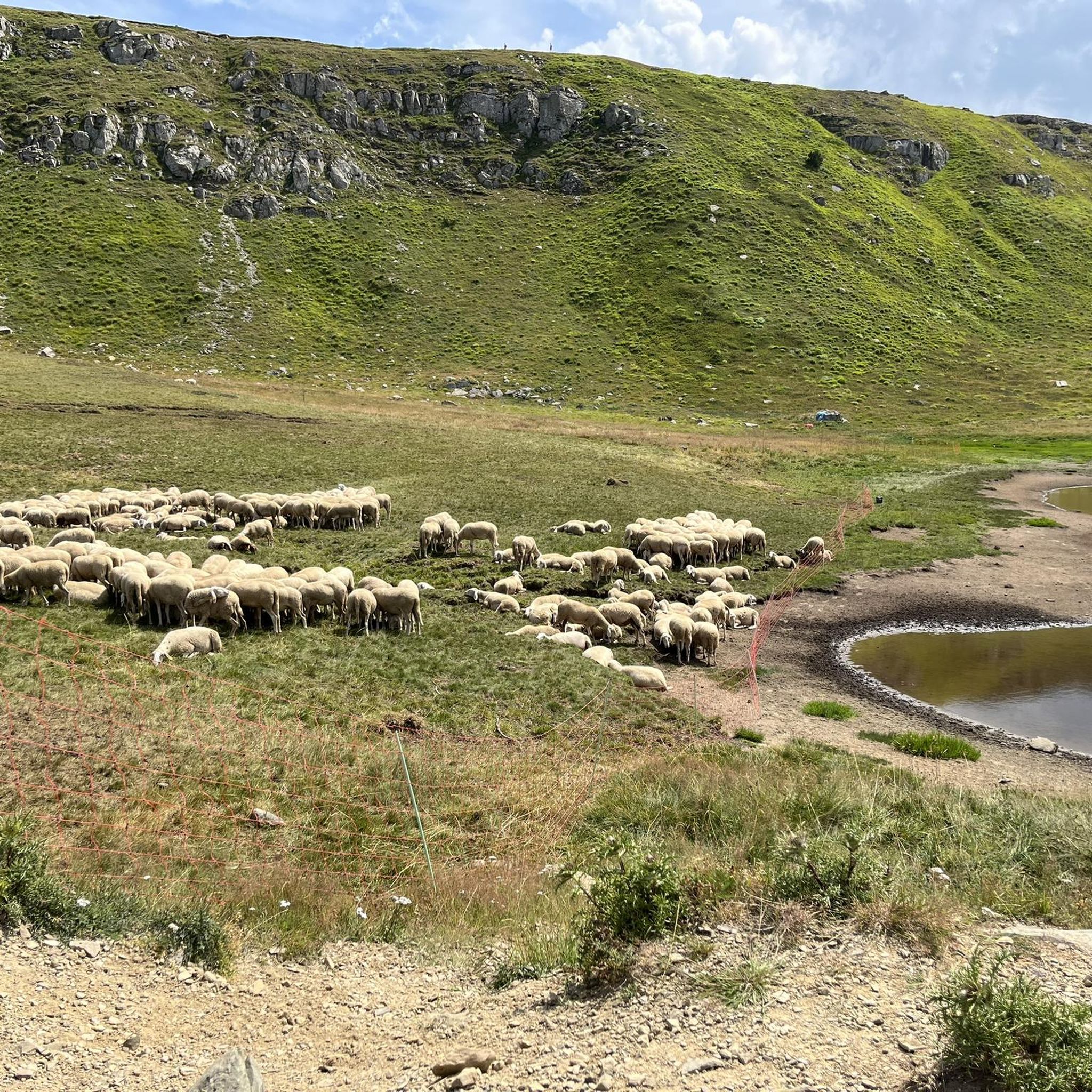
The water's gone I've been by several times lately and there's no water.
0
0

panoramic point reachable on foot, recommended choice or by cable car, less healthy and green choice
0
0

Out of the woods. Very nice stretch
1
0
View of Pian del Falco
1
0
Beautiful path between beech and pine forest
1
0
Military road to access the station at the top of Cimone
0
0
Beautiful path in the middle of the woods that leads to the arrivals of the chairlift
0
0
In memory of a person struck by lightning at that location
0
0
Frequently Asked Questions
How many hiking trails are available in Sestola?
Sestola offers a wide variety of hiking experiences, with over 60 routes recorded on komoot. These trails cater to different skill levels, from easy strolls to challenging climbs, ensuring there's something for every hiker.
Are there easy hiking trails suitable for beginners or families in Sestola?
Yes, Sestola has several easy trails perfect for beginners or families. The area around Lago della Ninfa is particularly well-suited for gentle walks, offering picturesque scenery without significant elevation changes. You'll find 11 easy routes in the region, providing accessible options for everyone.
Can I find trails with significant elevation gain for experienced hikers?
Absolutely. For experienced hikers seeking a challenge, Sestola, situated at the foot of Mount Cimone, offers routes with substantial elevation gain. Trails leading to the Monte Cimone Summit, such as Monte Cimone Municipal Trail 11, provide rewarding climbs and expansive views. There are 8 difficult routes available for those looking for a strenuous adventure.
Are there any circular hiking routes around Sestola?
Yes, Sestola features several circular routes that allow you to start and end your hike in the same location. A popular option is the Monte Cimone Loop from Lago della Ninfa, which takes you through diverse terrain around the scenic lake.
What natural landmarks or viewpoints can I expect to see on hikes in Sestola?
Sestola is rich in natural beauty and offers numerous landmarks and viewpoints. You can explore the serene Lake of the Nymph, reach the Monte Cimone Summit for panoramic vistas, or discover the stunning Dardagna Waterfalls. Trails leading to Monte Rasola also provide some of the best views of Sestola and the surrounding Apennine landscape.
Are there any waterfalls accessible via hiking trails in Sestola?
Yes, the magnificent Dardagna Waterfalls are a highlight in the Sestola area. Located within a beautiful beech wood, these six or seven waterfalls, some reaching twenty meters in height, are a spectacular sight, especially in autumn or when partially frozen in winter. They are accessible via hiking trails within the Parco del Frignano.
Is Sestola a good destination for dog-friendly hikes?
Sestola's diverse natural landscapes, including dense forests and open trails within the Parco del Frignano, make it a great destination for hiking with dogs. Many trails are suitable for canine companions, but always ensure your dog is on a leash and respect local regulations, especially in protected areas. Remember to carry water for both yourself and your pet.
What is the best time of year to go hiking in Sestola?
The best time for hiking in Sestola is typically from late spring to early autumn (May to October). During these months, the weather is generally mild and pleasant, and the trails are clear of snow. Autumn offers spectacular foliage, especially around the Dardagna Waterfalls. While winter hiking is possible, some higher altitude trails may require snowshoes or specialized equipment due to snow and ice.
Are there any historical or cultural points of interest along the hiking routes?
Yes, Sestola offers a blend of natural beauty and historical sites. The ancient Sestola Castle, dating back to the 9th century, dominates the town and can be seen or visited. The route From Sestola Castle to Lago della Ninfa (via Route 6) specifically incorporates this landmark into the hiking experience. Additionally, the World War II Memorial at Croce Arcana provides a historical point of reflection.
What do other hikers enjoy the most about hiking in Sestola?
The komoot community highly rates the hiking experience in Sestola, with an average score of 4.6 stars from over 790 reviews. Hikers frequently praise the region's diverse landscapes, from the high Apennine peaks of Mount Cimone to the serene beauty of Lago della Ninfa and the dense beech forests. The well-maintained trail network and the opportunity to discover natural wonders like the Dardagna Waterfalls are also commonly highlighted.
Are there options for public transport to access trailheads in Sestola?
While Sestola is accessible by public transport, reaching specific trailheads often requires local bus services or personal vehicles. Lago della Ninfa, a key starting point for many trails including the Monte Cimone Loop from Lago della Ninfa, can be reached by road. For detailed public transport information, it's advisable to check local bus schedules for the Emilia-Romagna region.
Can I find accommodation or places to eat near the hiking trails in Sestola?
Sestola, as a popular mountain resort, offers various accommodation options, from hotels to guesthouses, and numerous restaurants and cafes. Many of these are conveniently located within the town or near popular access points like Pian del Falco and Passo del Lupo, providing places to refuel and relax after your hikes. The Tassoni Hut is also a notable stop for refreshments on some routes.
Most popular routes around Sestola
Most popular attractions around Sestola

Get inspired with the komoot mobile app


Explore more
Browse the best Hikes in other regions.
