The best mountain hikes around Sestola
4.4
(8)
18
hikers
6
hikes
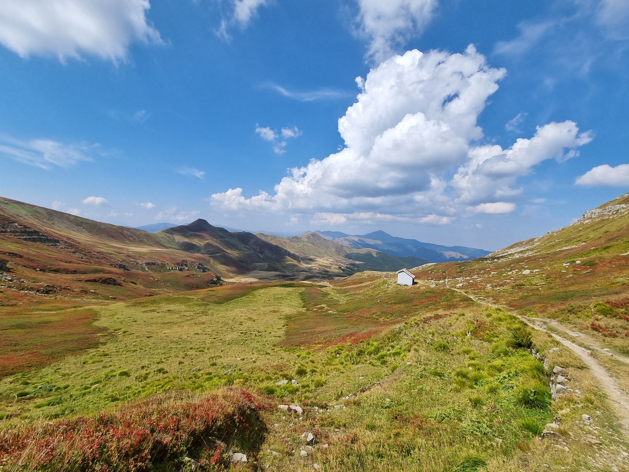
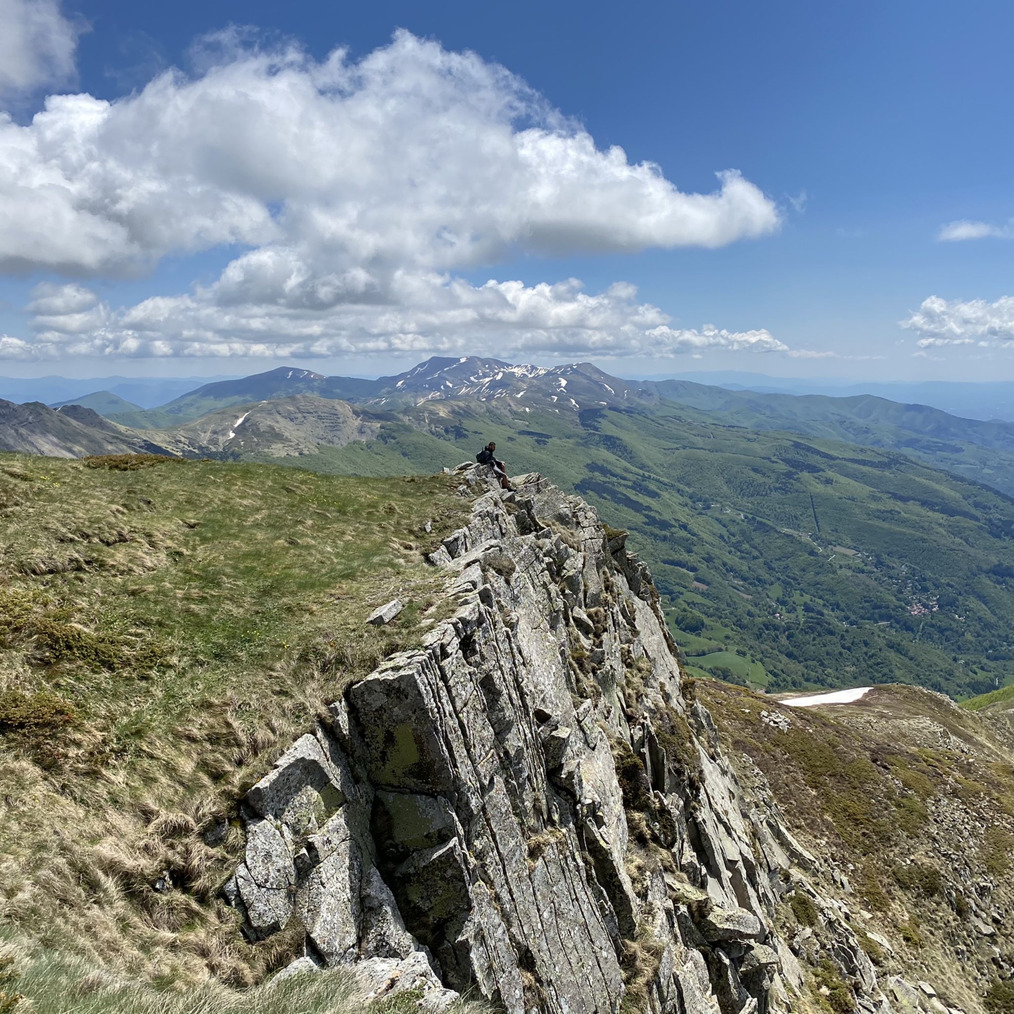
Mountaineering routes around Sestola are characterized by the high peaks of the Emilia-Romagna Apennines, notably Mount Cimone, the region's highest point. The area features diverse landscapes, including beech and coniferous forests, alpine lakes like Lago della Ninfa, and protected natural areas within Frignano Park. This terrain provides a range of ascents and trails suitable for various mountaineering experiences.
Best mountaineering routes around Sestola
- The most popular mountaineering route is Lago della Risaia – Monte Rotondo loop from Abetone, a…
Last updated: July 4, 2026
4.7
(3)
9
hikers
10.6km
04:13
530m
530m
Moderate mountaineering route. Good fitness required. Mostly accessible paths. Sure-footedness required.
5.0
(1)
3
hikers
11.7km
04:39
760m
760m
Moderate mountaineering route. Good fitness required. Mostly accessible paths. Sure-footedness required.

Sign up for free
4.5
(2)
2
hikers
9.39km
03:58
760m
760m
Moderate mountaineering route. Good fitness required. Mostly accessible paths. Sure-footedness required.
2
hikers
7.78km
03:03
430m
420m
Moderate mountaineering route. Good fitness required. Mostly accessible paths. Sure-footedness required.
3.0
(1)
1
hikers
Moderate mountaineering route. Good fitness required. Mostly accessible paths. Sure-footedness required.
Our route recommendations are based on thousands of hikes, rides, and runs completed by other people on komoot.
Start today with a free account
Your next adventure awaits.
Login or Signup

Other adventures around Sestola

Tips from the Community

In one of the – wonderfully told and far beyond the borders of Italy popular – short stories that Giovanni Guareschi (1908 to 1968) tells about the two protagonists he invented, "Don Camillo" and "Peppone", bears the title "AUTUMN". Even though most of his stories have a humorous background, this time it is about a serious topic, namely the national commemoration of the fallen on the occasion of November 4th. The communist mayor Peppone expresses himself in the heated discussion with the priest as follows: » "The people are fed up with all these wars and victories. The people know very well what a war is and do not need speeches and calls that glorify it." Don Camillo shook his head. "You are on the wrong path, Peppone. Nobody wants to glorify war. It is only about paying homage and gratitude to all those who suffered in this war and lost their lives in the process." « (G. Guareschi)
0
0

Don't be discouraged by the climb, it's not very long and the arrival is worth the journey.
0
0

An excellent rest stop where you can stay in the dormitory or stop for lunch. With a donation, you can get bread, cheese, and a tart, or whatever else they have on hand. Volunteers are definitely available on weekends. In winter, the winter shelter is open in case of emergency. There is no bathroom.
0
0

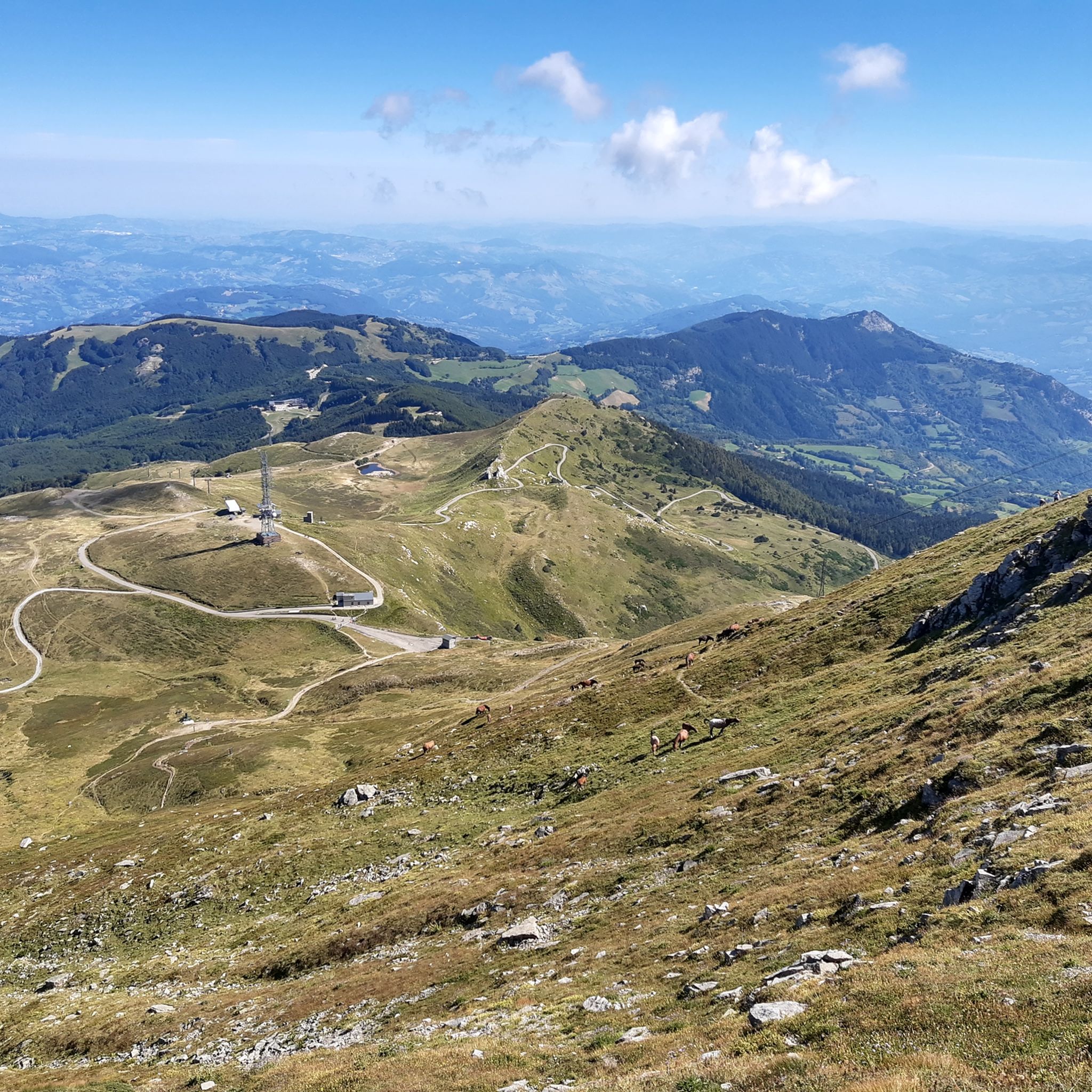
Mount Cimone! the panettone! with its 2165 meters it is the highest peak of the northern Apennines. Iconic point of arrival and special panoramic point as it is unique in Italy for this characteristic (from its summit it is possible to observe, on the clearest days, the largest land surface of the Italian territory, from the Gran Sasso Apennines to the Alpine mountain range)
0
0

Really nice emotions during the ascent 🫶🏼😃
0
0


It marks the border between Emilia-Romagna and Tuscany, if you are lucky you can see a small strip of sea between two mountains on the horizon
0
0
Training for experts and those aware of their limits
0
0
Frequently Asked Questions
How many mountaineering routes are available around Sestola?
There are currently 8 mountaineering routes documented around Sestola on komoot, ranging from moderate to difficult. This offers a good selection for various skill levels looking to explore the Emilia-Romagna Apennines.
Are there any circular mountaineering routes in Sestola?
Yes, several routes around Sestola are circular. For example, you can explore the Lago della Risaia – Monte Rotondo loop from Abetone, which is a moderate 6.8-mile trail offering scenic views of alpine lakes. Another option is the Climb to Monte Cimone – Monte Cimone Summit loop from Doccia del Cimone, a 7.3-mile path that takes you directly to the highest peak in the region.
What kind of views can I expect on the mountaineering trails near Sestola?
Mountaineering routes around Sestola offer diverse and panoramic views. You'll encounter the high peaks of the Emilia-Romagna Apennines, including Mount Cimone, as well as serene alpine lakes like Lago della Ninfa and Lago della Risaia. The trails often pass through beautiful beech and coniferous forests, especially within the protected Frignano Park, providing stunning natural scenery.
Are there any waterfalls to see along the mountaineering routes?
While not directly on the listed mountaineering routes, the Sestola area is home to the magnificent Dardagna Waterfalls, nestled within a beautiful beech wood. These waterfalls are a notable natural attraction in the region and can be a rewarding side trip. You can find more information about nearby natural attractions, including waterfalls, in the Gorges around Sestola guide.
How long do the mountaineering routes around Sestola typically take?
The duration of mountaineering routes around Sestola varies depending on the trail and your pace. For instance, the Lago della Risaia – Monte Rotondo loop typically takes around 4 hours and 26 minutes. A more challenging route like the Lago il Terzo – Lago della Ninfa loop from Parcheggio Camper is estimated to take about 5 hours and 2 minutes.
What are some interesting landmarks or points of interest near the trails?
The Sestola area is rich in natural and historical points of interest. Near some routes, you might find highlights such as the Orrido di Gea and the Abandoned Watermills or the Rio Monio Waterfalls. The Landslide area – Monte Cimone also offers a unique geological sight. Additionally, the Esperia Botanical Garden, located on the slopes of Mount Cimone, is an ecological oasis worth exploring.
Are there any family-friendly mountaineering options or activities in Sestola?
While many mountaineering routes are moderate to difficult, Sestola offers other family-friendly outdoor activities. The Cimone Adventure Park provides zip lines and suspended bridges for various difficulty levels. For gentler walks, areas around Lago della Ninfa are beautiful and accessible. When choosing a mountaineering route, consider options like the Colle Piaggiacalda – Vista del Paradiso loop from Lo Spigolino, which is a moderate 4.8-mile trail.
What is the best time of year for mountaineering in Sestola?
The best time for mountaineering in Sestola is generally from late spring to early autumn (May to October) when the weather is milder and trails are clear of snow. During these months, you can fully enjoy the diverse landscapes, from lush forests to alpine meadows. Winter offers opportunities for snowshoeing or winter mountaineering, but requires specialized equipment and experience.
What do other mountaineers enjoy most about the routes in Sestola?
The mountaineering routes in Sestola are highly rated by the komoot community, with an average score of 4.5 stars. Reviewers often praise the diverse terrain, the stunning views from Mount Cimone, and the serene beauty of the alpine lakes. The well-maintained trails and the sense of immersion in nature within Frignano Park are also frequently highlighted.
Is there parking available near the starting points of the trails?
Yes, many routes have designated starting points where parking is available. For example, the Lago il Terzo – Lago della Ninfa loop starts from 'Parcheggio Camper,' indicating camper parking facilities. It's advisable to check the specific route details on komoot for precise parking information at each trailhead.
Are there any less-trafficked or 'hidden gem' routes for a quieter experience?
While the main routes to Mount Cimone are popular, exploring trails within the broader Frignano Park can offer a quieter experience. Look for routes that venture deeper into the beech and coniferous forests, away from the most direct summit ascents. The Mount Cimone – Monte Cimone Summit loop from Doccia del Cimone, though still leading to the summit, offers a slightly different perspective than the most popular ascent.
Most popular routes around Sestola
Most popular attractions around Sestola

Get inspired with the komoot mobile app


Explore more
Browse the best Mountain Hikes & Routes in other regions.
